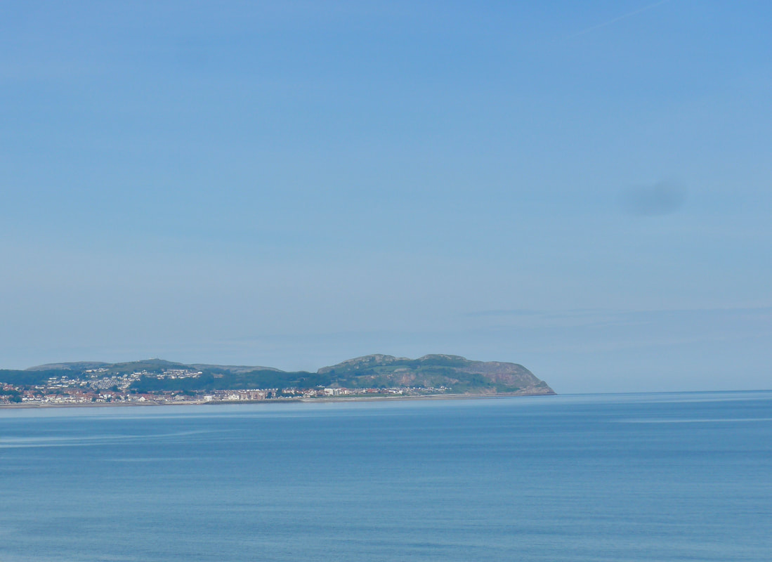
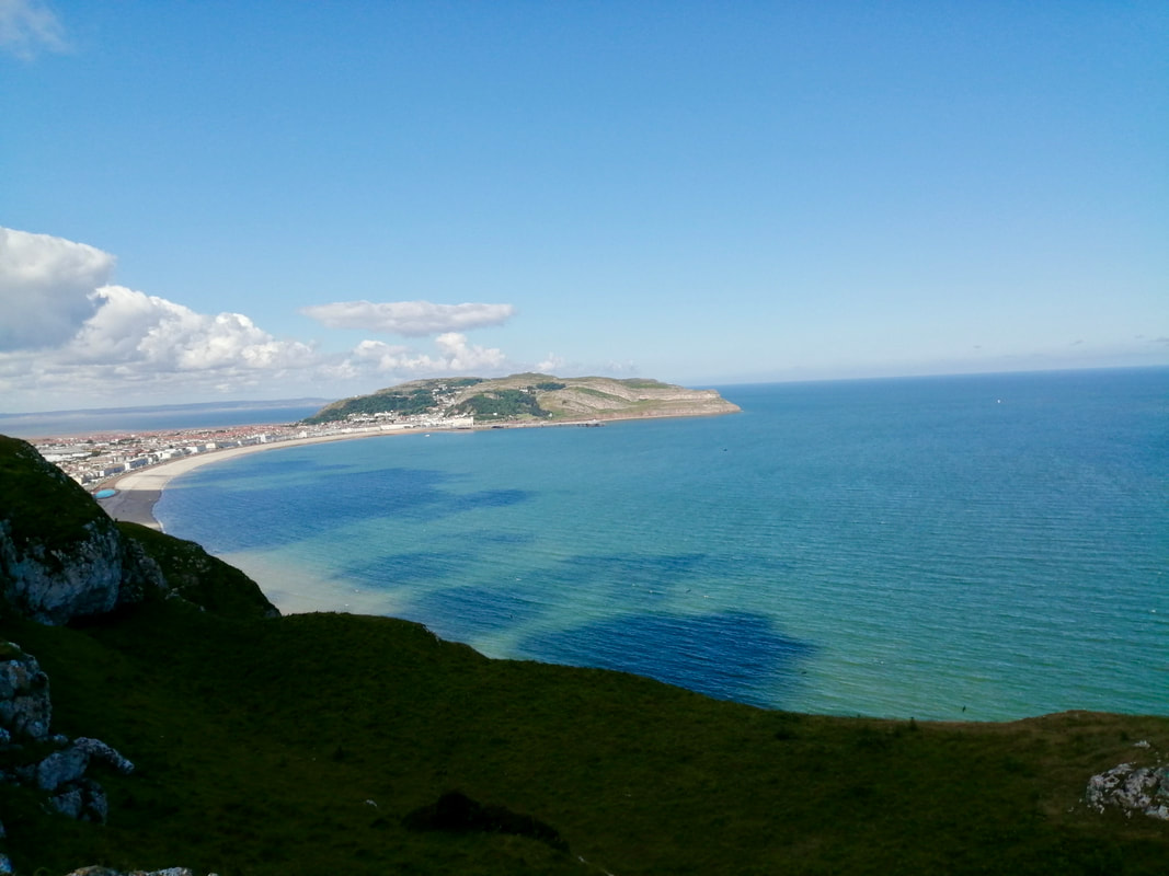
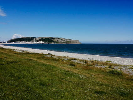
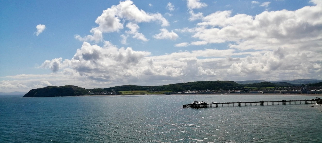
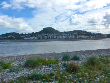
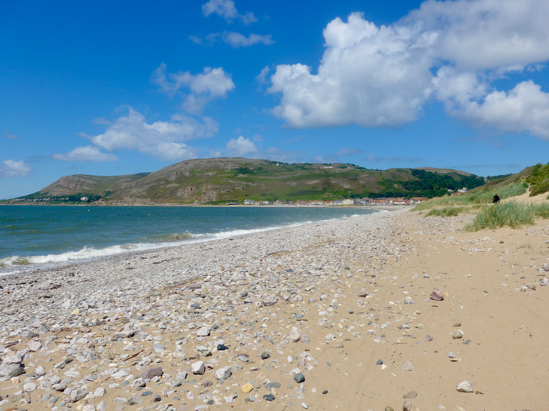
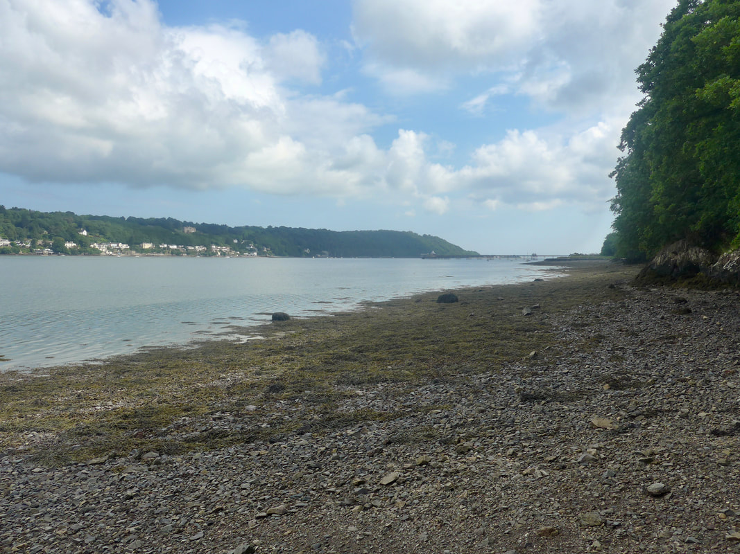
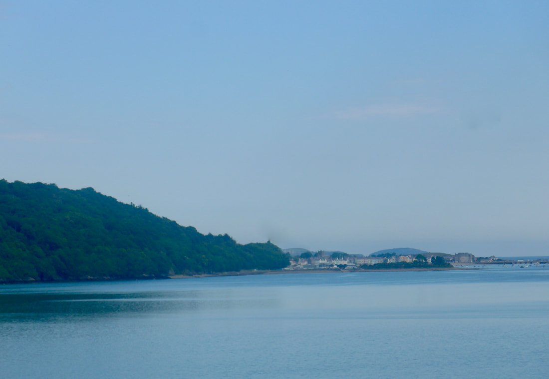
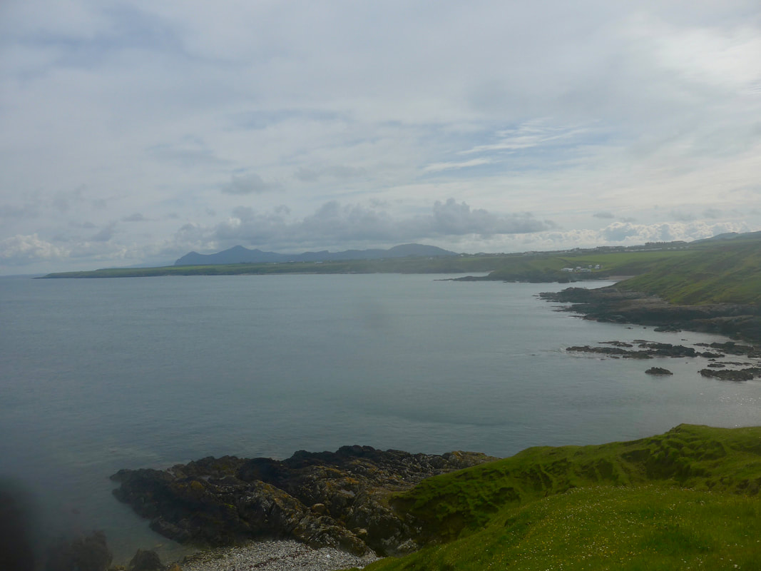
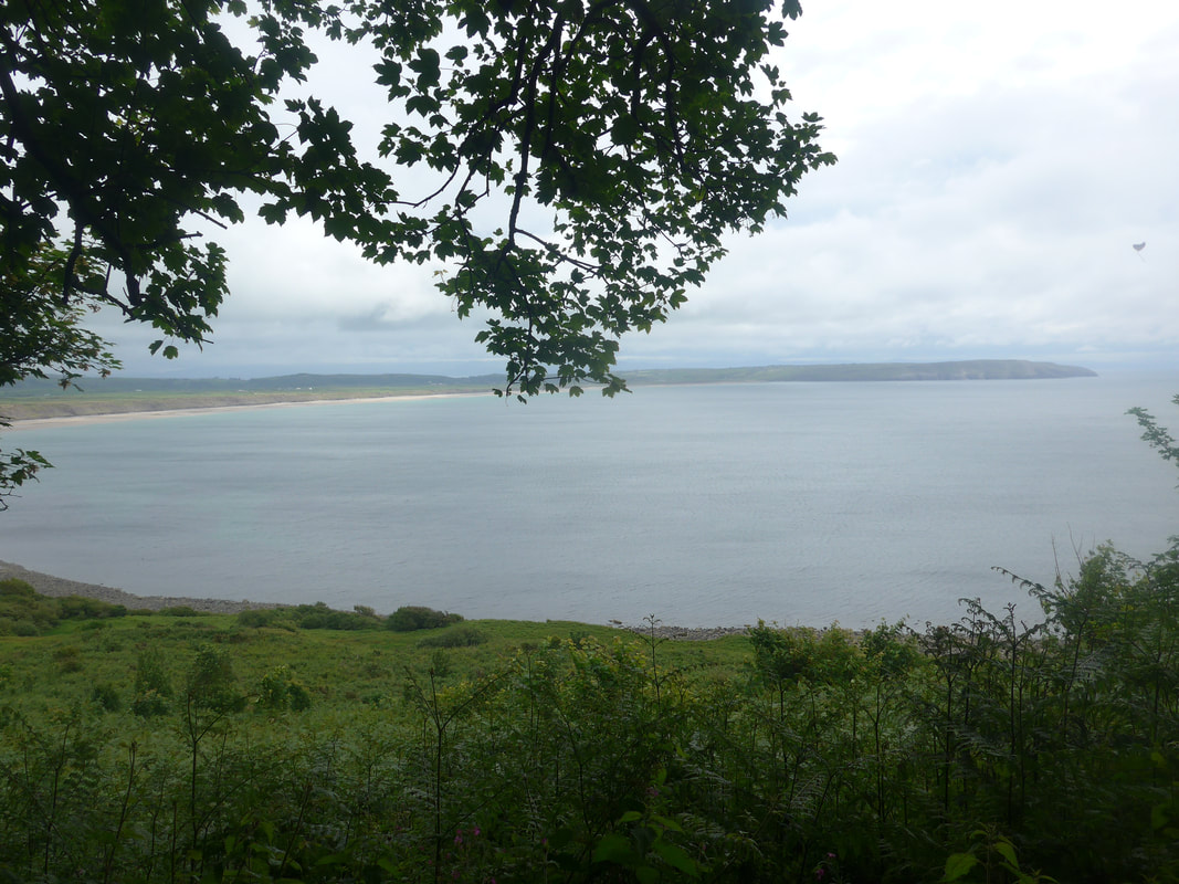
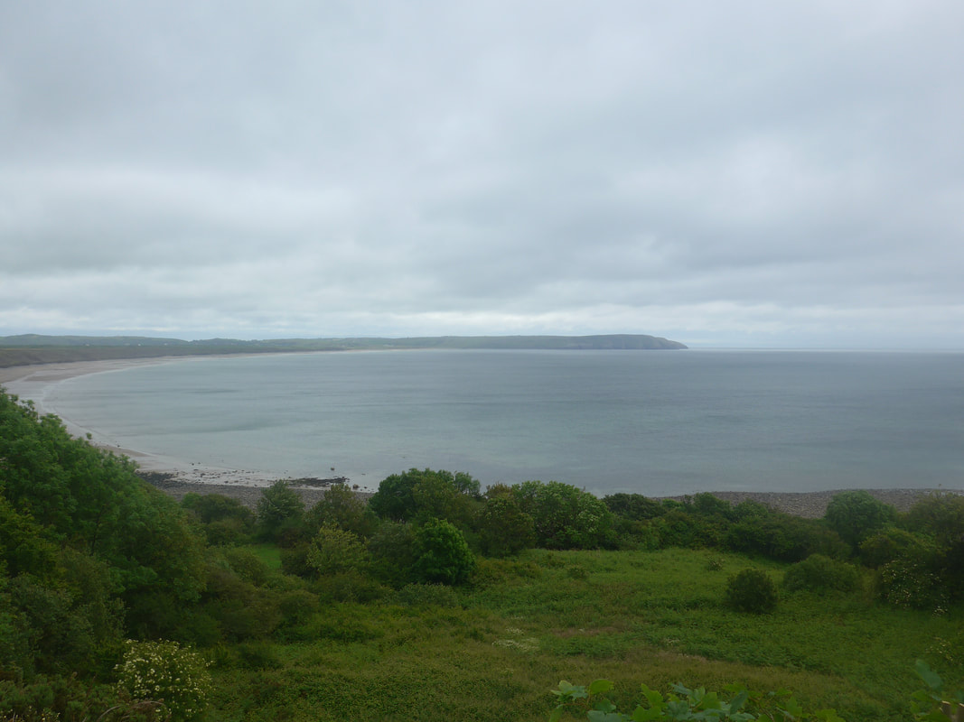
 Llandudno Bay
 The walking plan for Wales went out the window the past few days. After nearly nine weeks on the road I was feeling pretty tired and fighting the urge to just go home and rest. The alternative was to change the walking plan and try to make it a bit easier on myself.
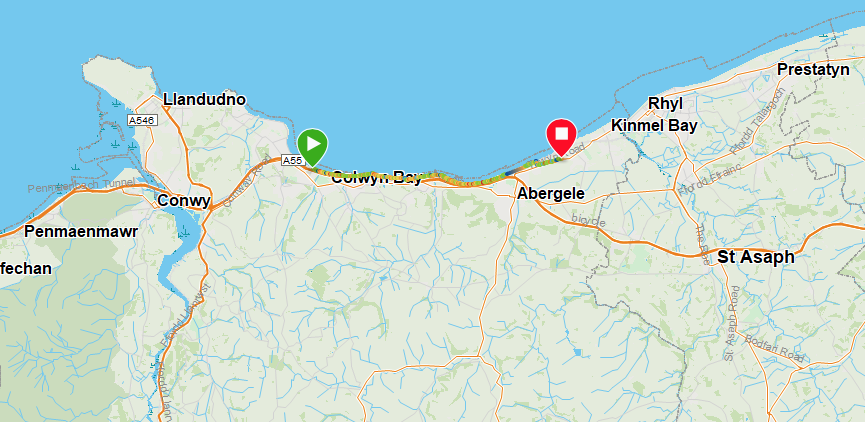
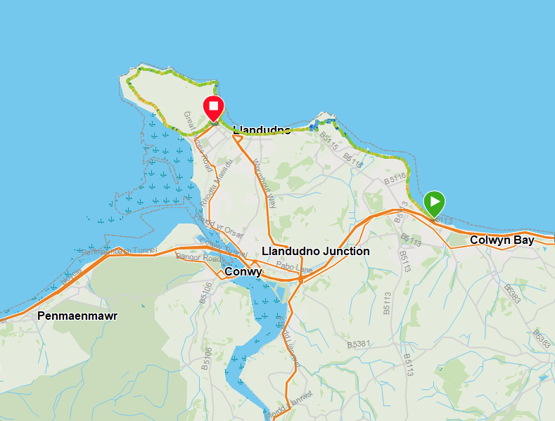
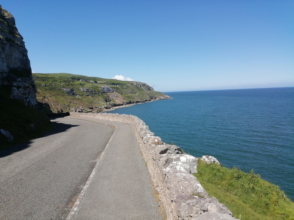
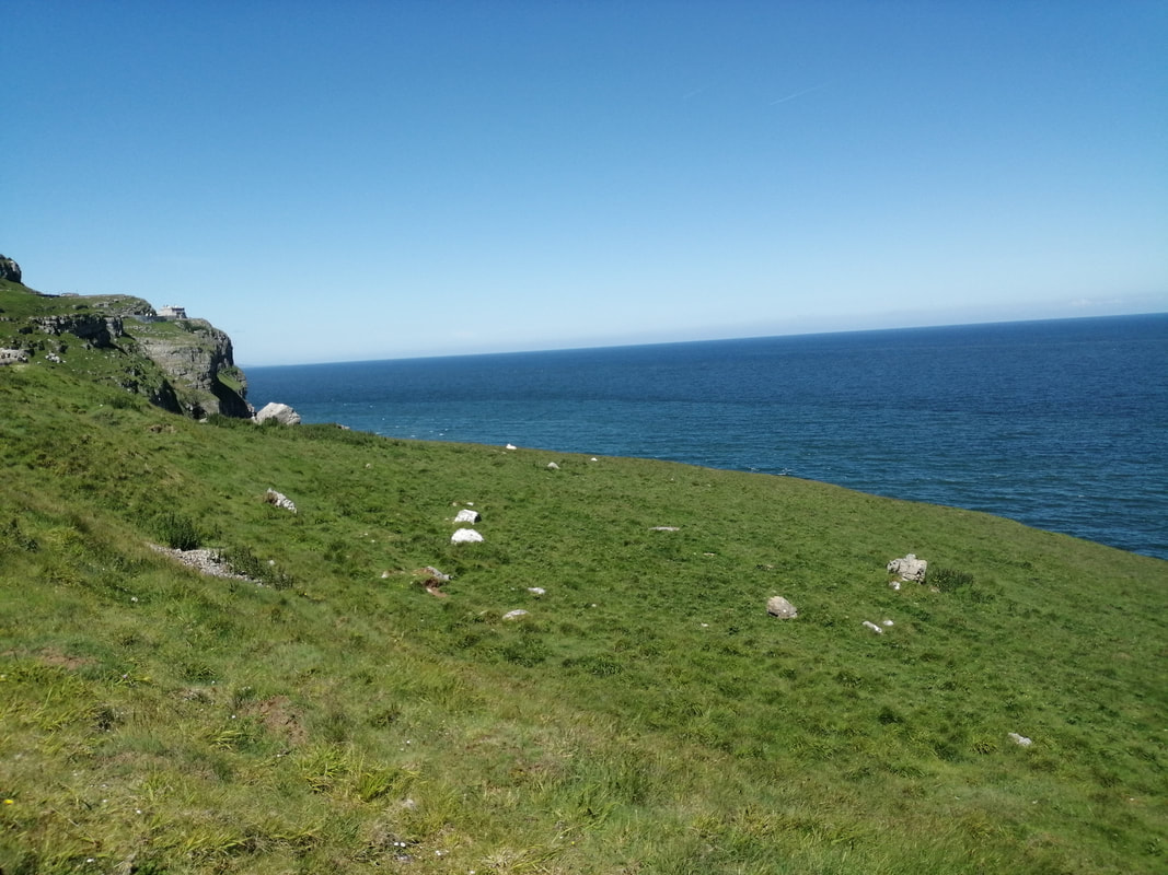
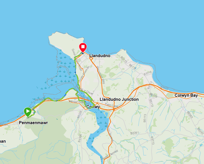
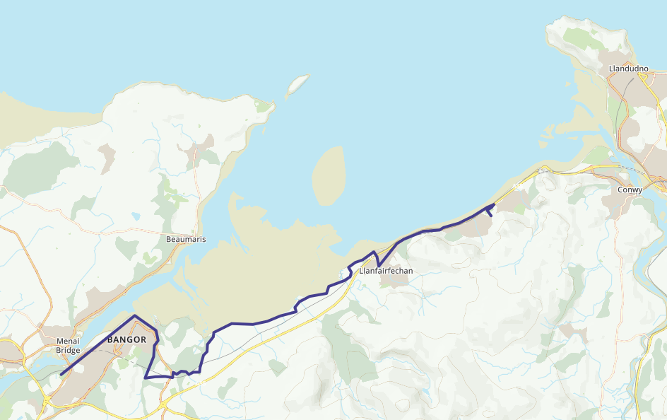
Knowing I had planned a couple of long walks to finish, I moved things around to change the length of the remaining walks. This included putting off Great Orme's Head (GOH) on one day, cancelling my day off to walk from Colwyn Bay to Llandudno via Little Ormes Head and GOH on the same day, which meant I could have a very short day and two final days walking of a reasonable length.
Knowing I had planned a couple of long walks to finish, I moved things around to change the length of the remaining walks. This included putting off Great Orme's Head (GOH) on one day, cancelling my day off to walk from Colwyn Bay to Llandudno via Little Ormes Head and GOH on the same day, which meant I could have a very short day and two final days walking of a reasonable length.
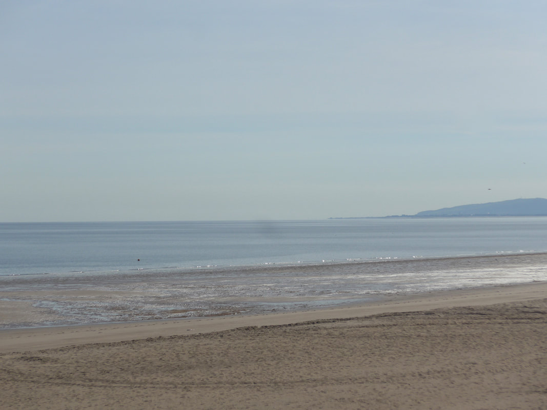
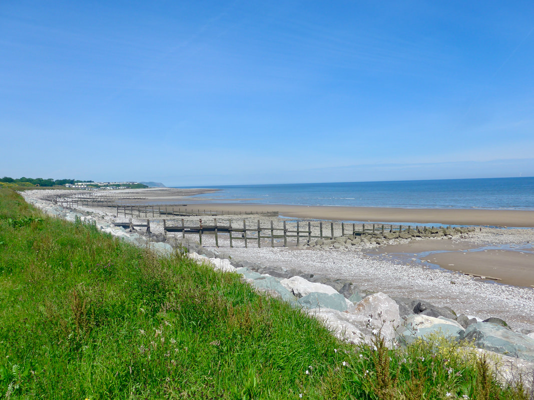
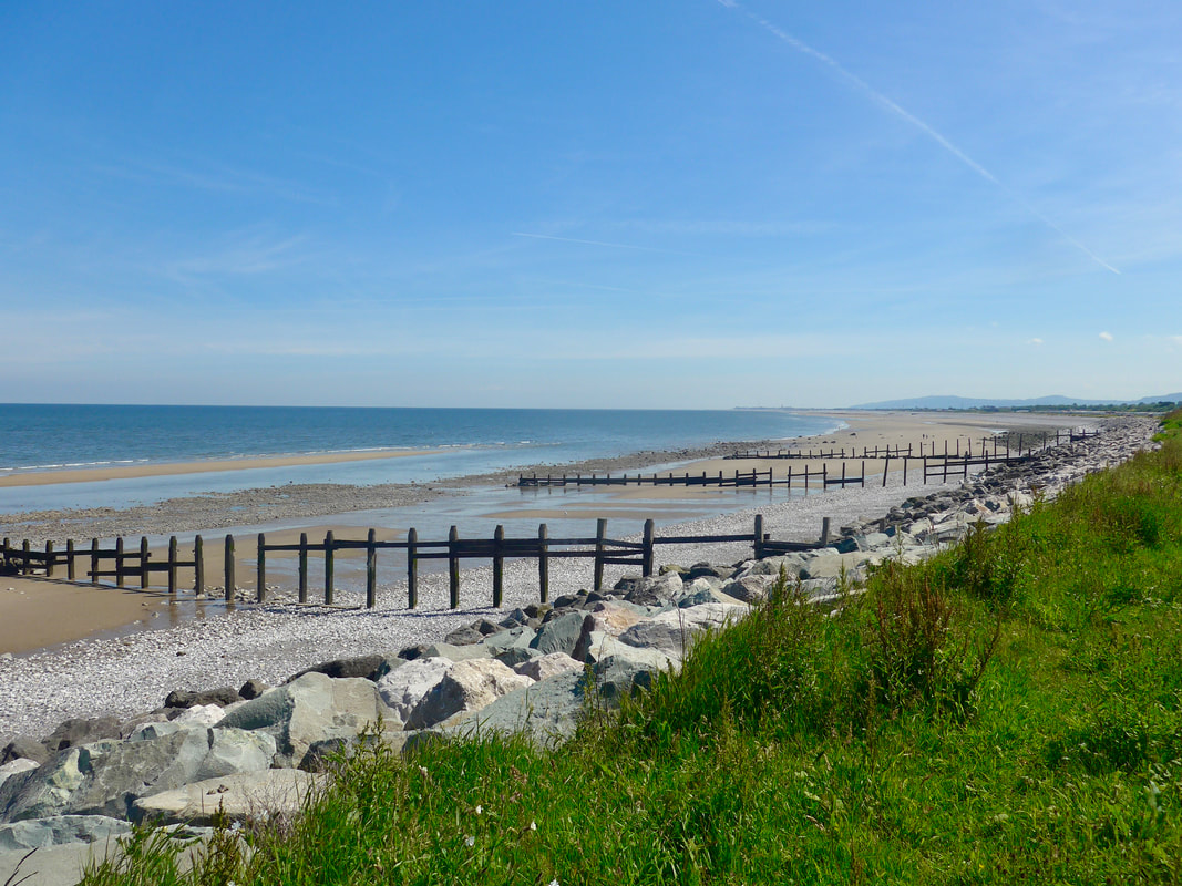
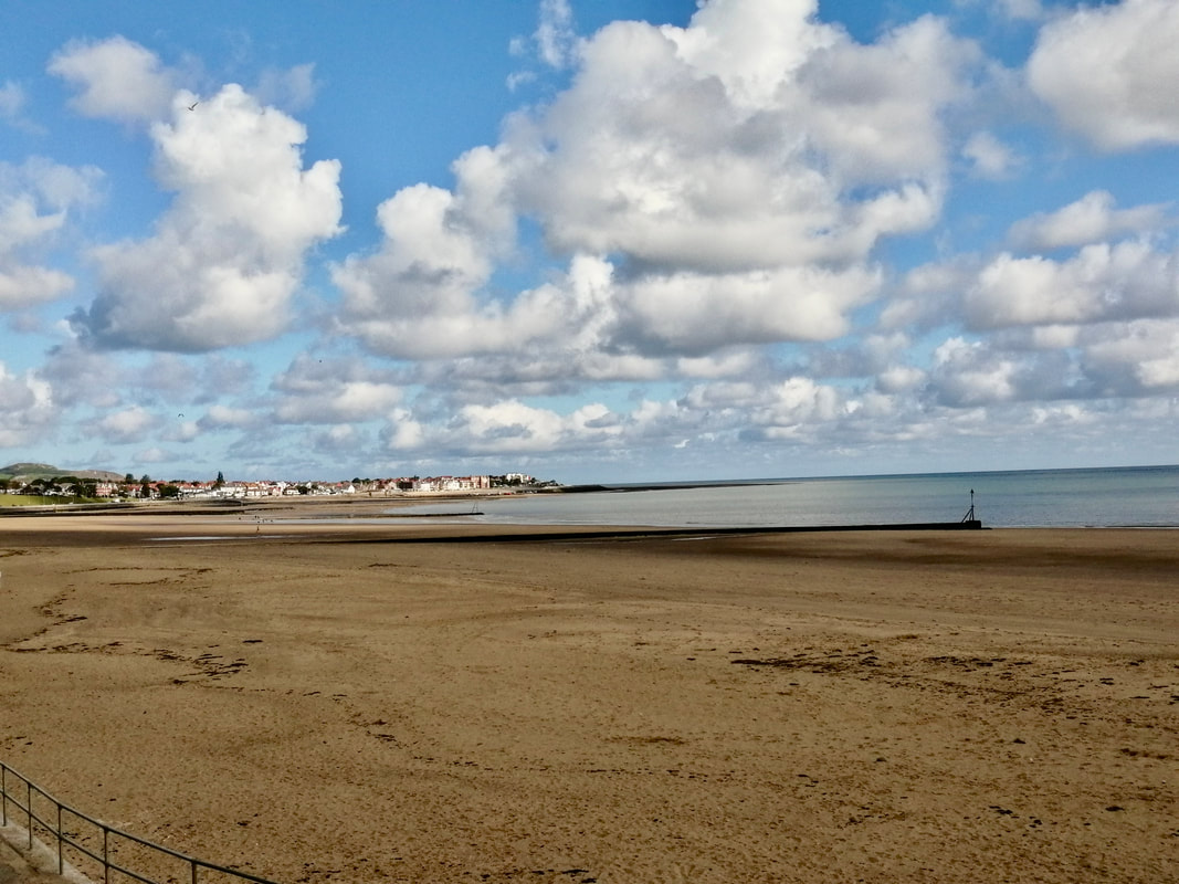
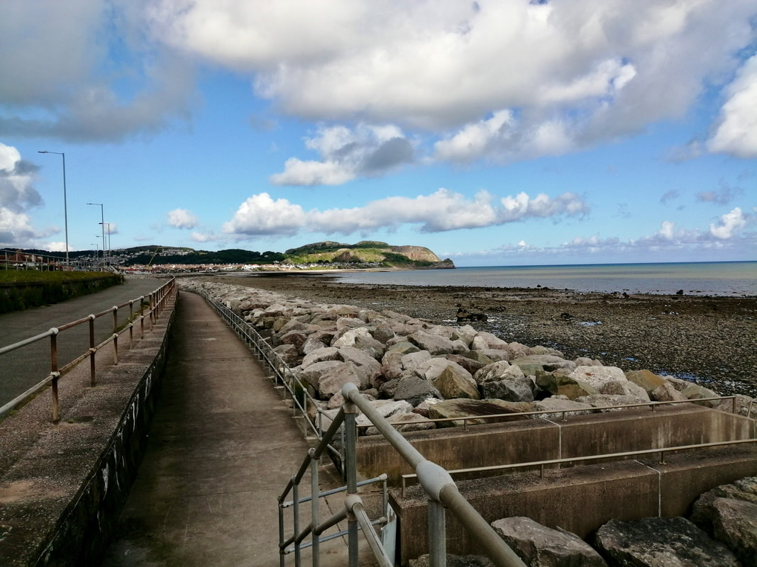
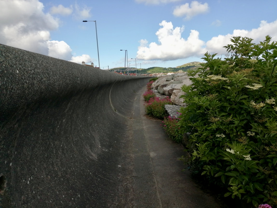
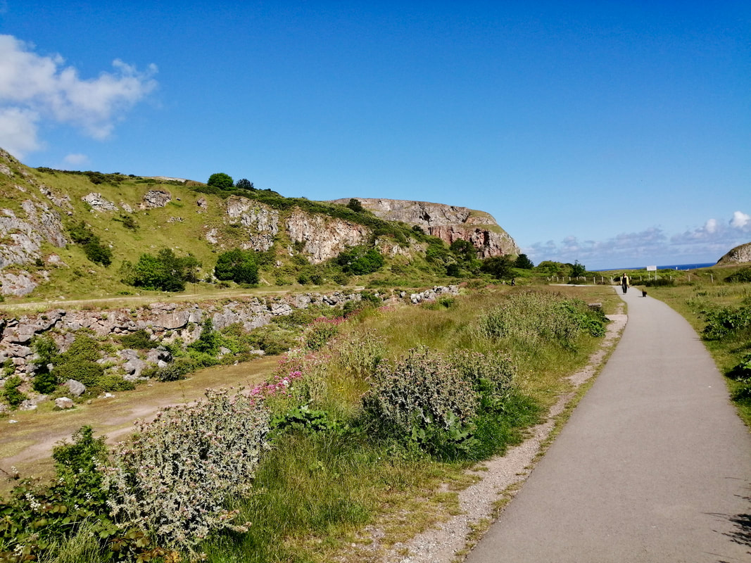
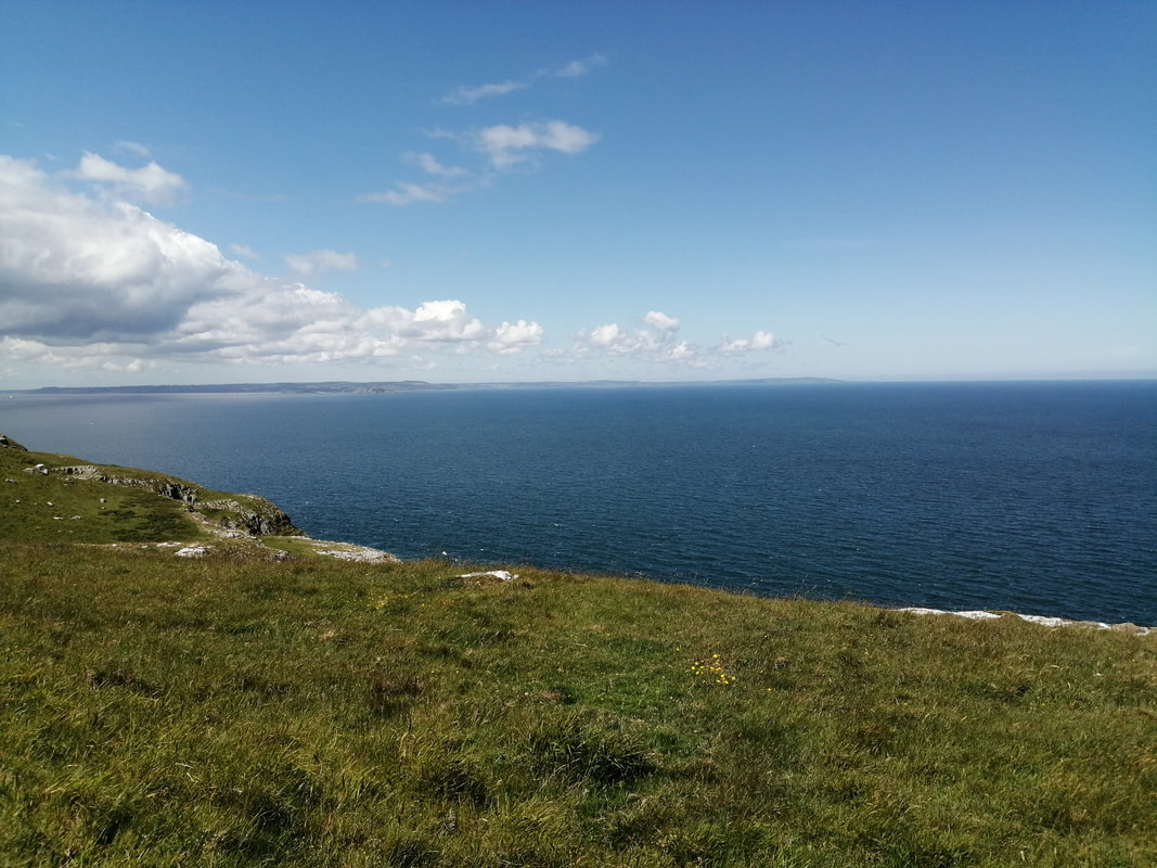
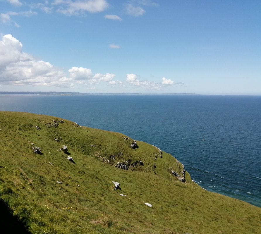
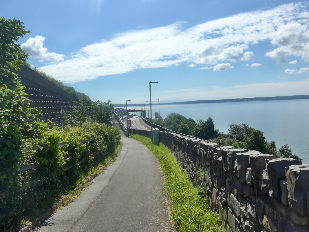
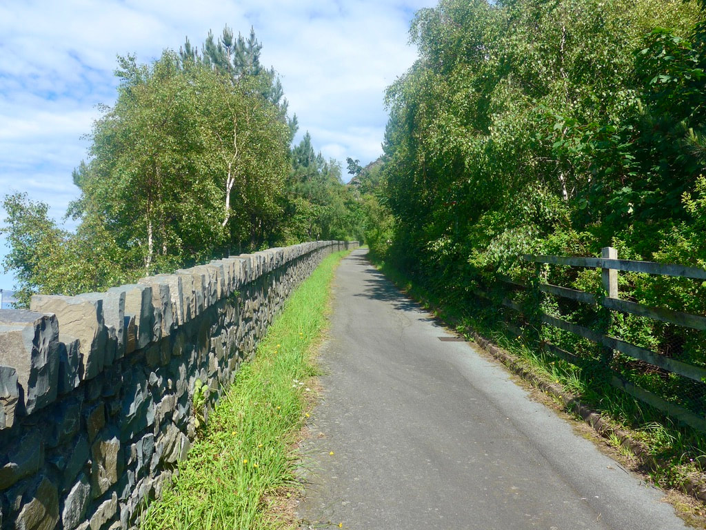
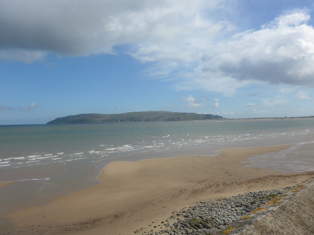
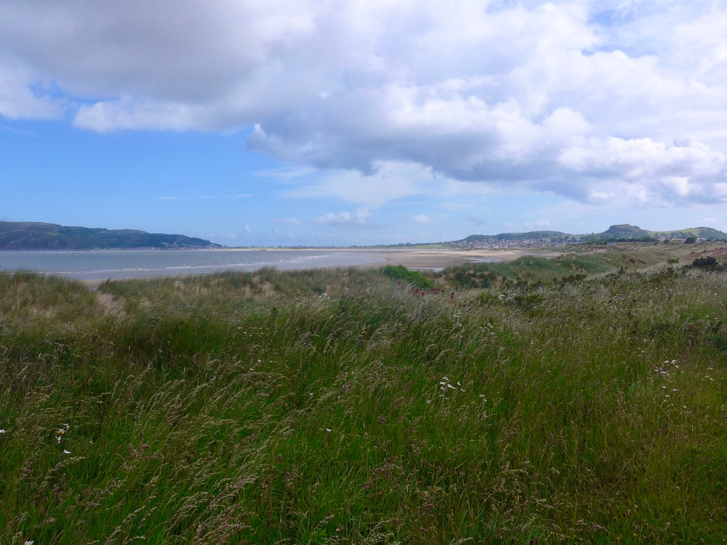
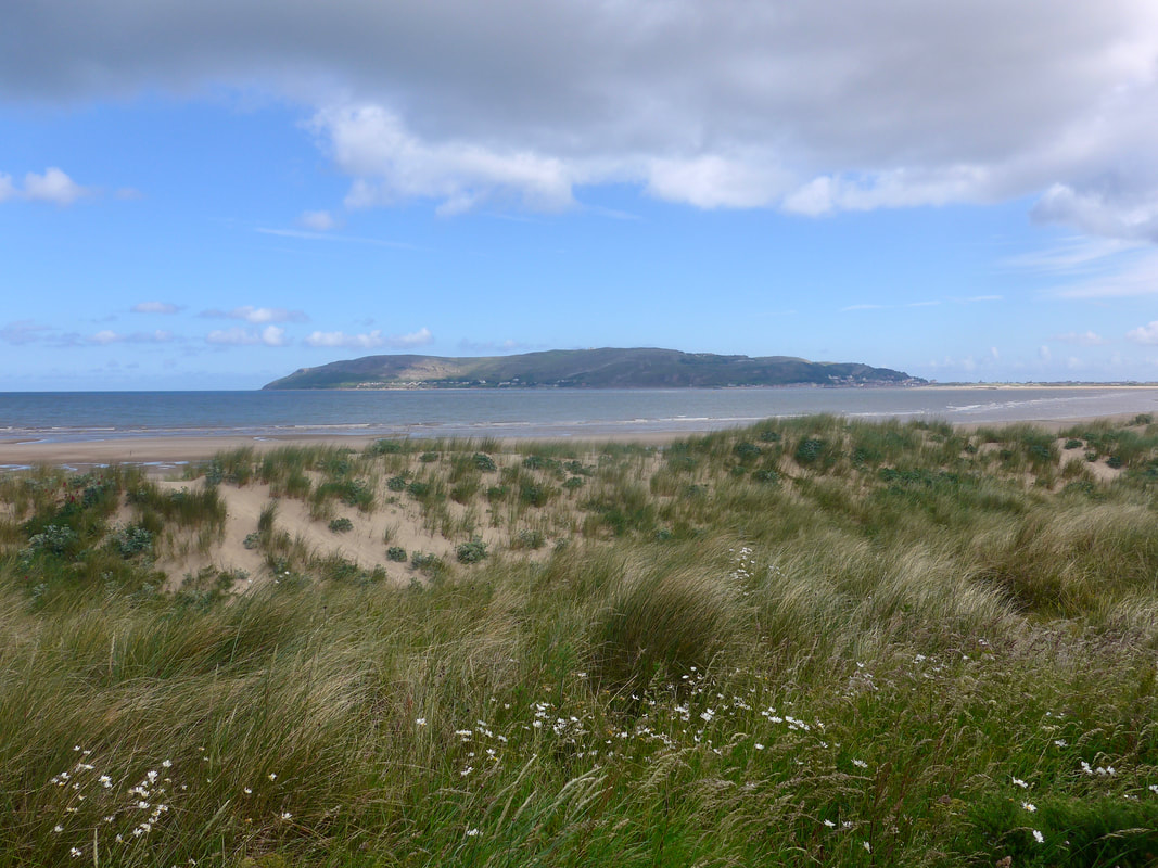
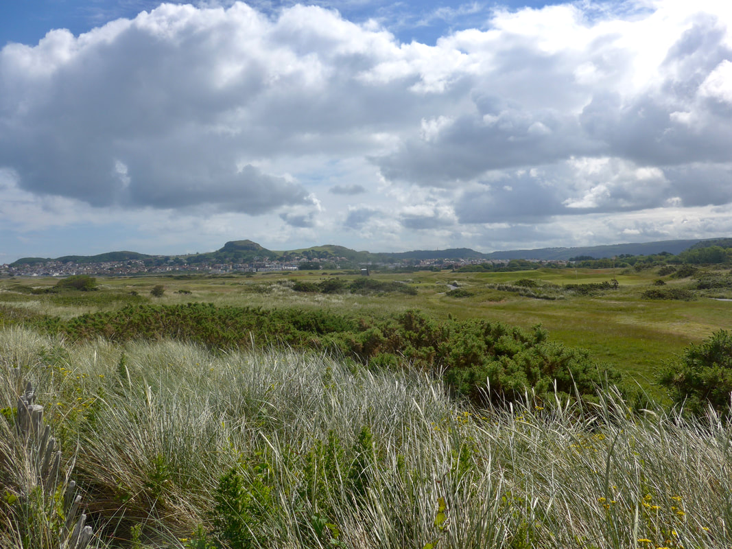
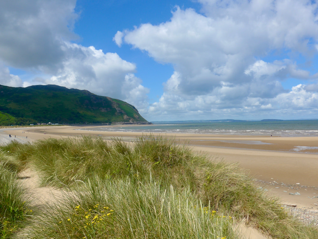
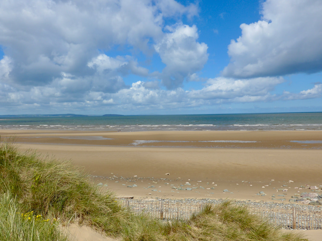
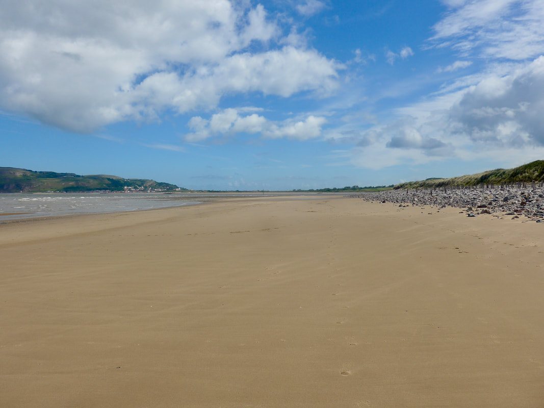
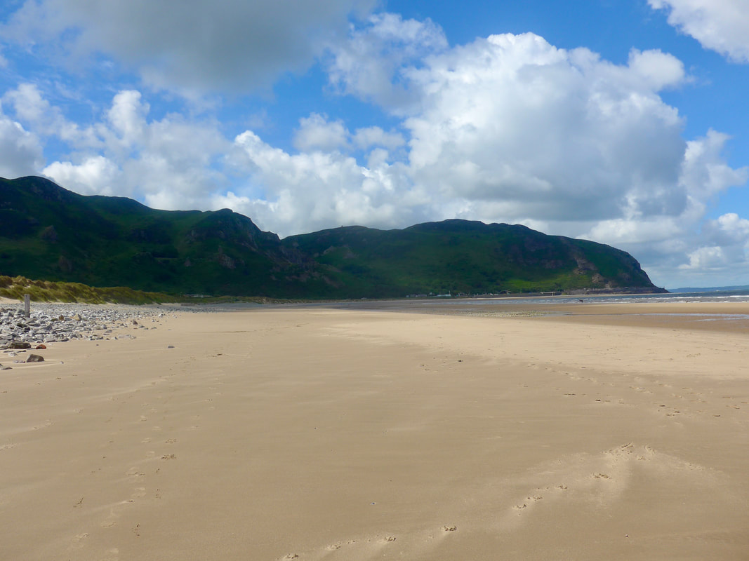
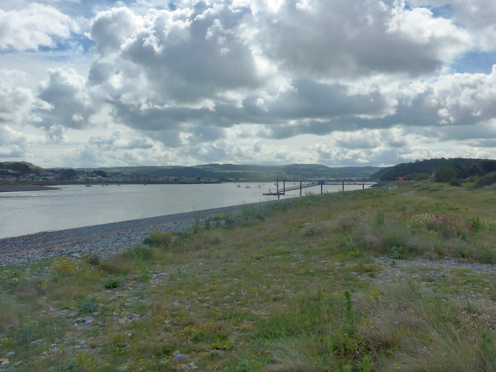
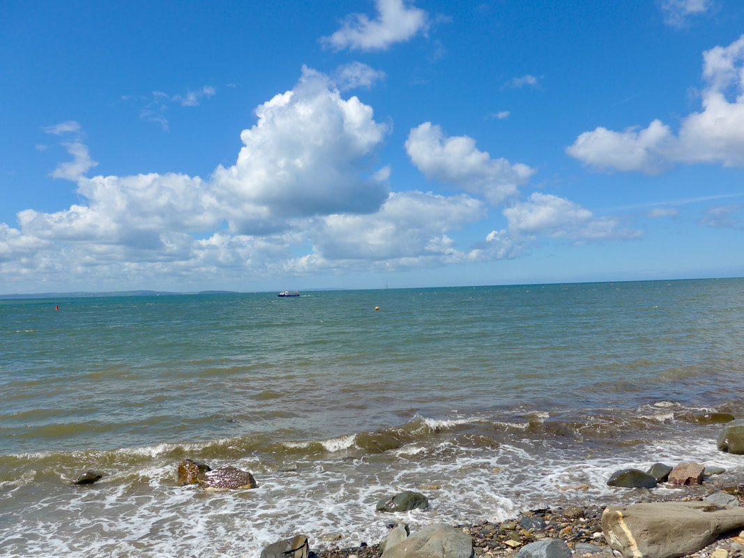
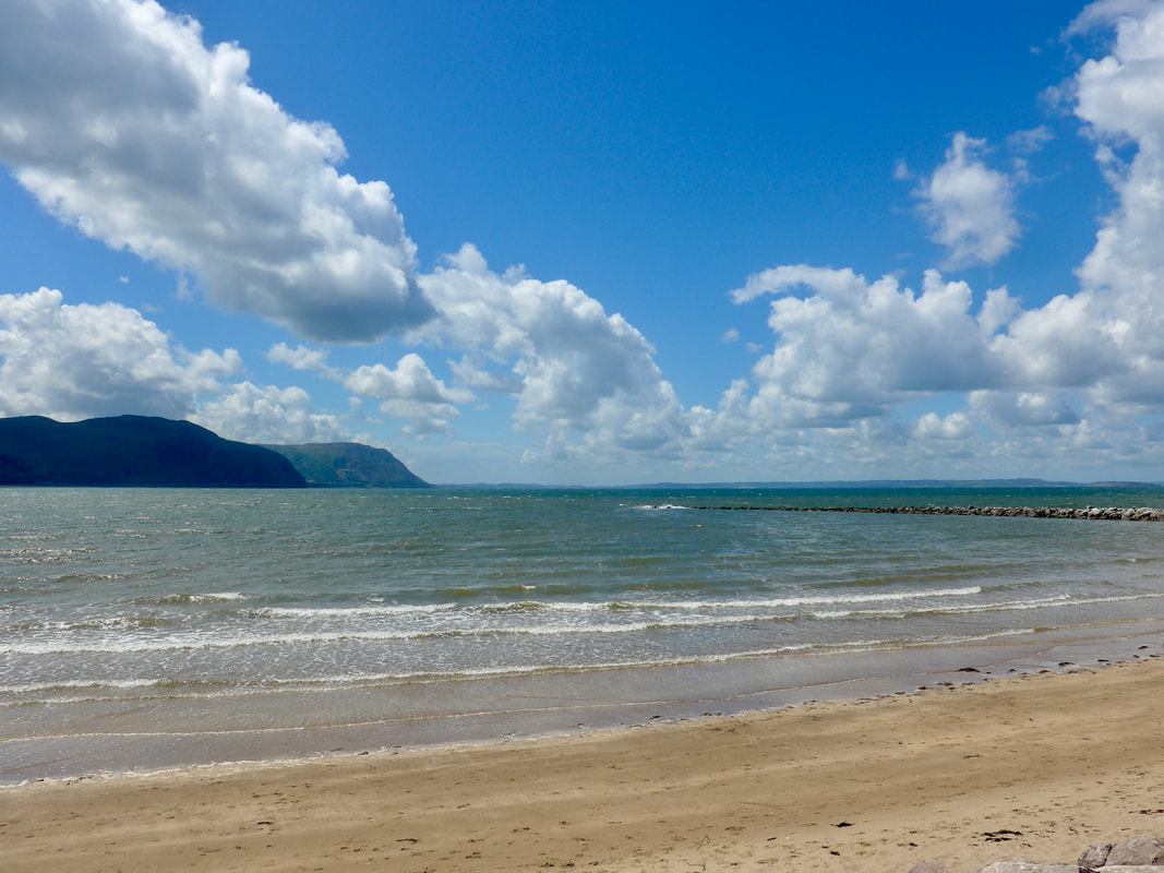
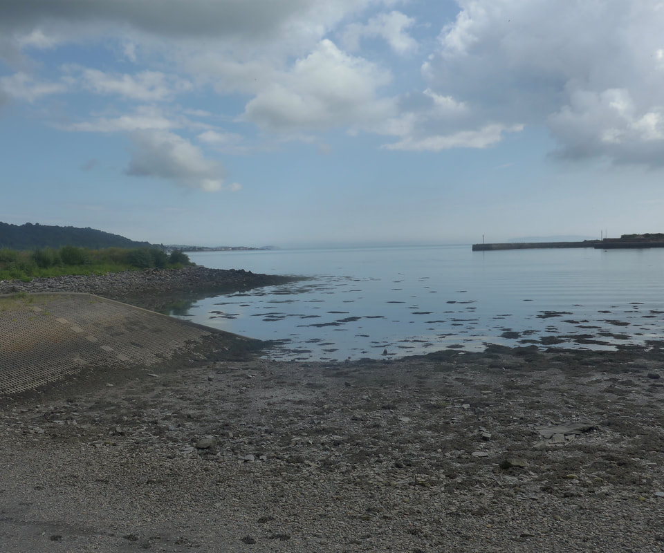
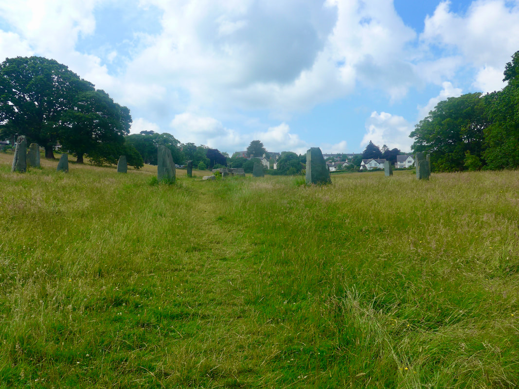
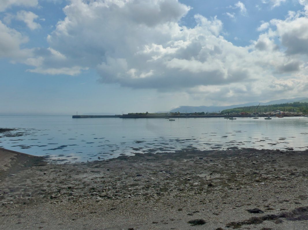
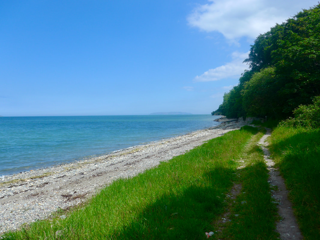
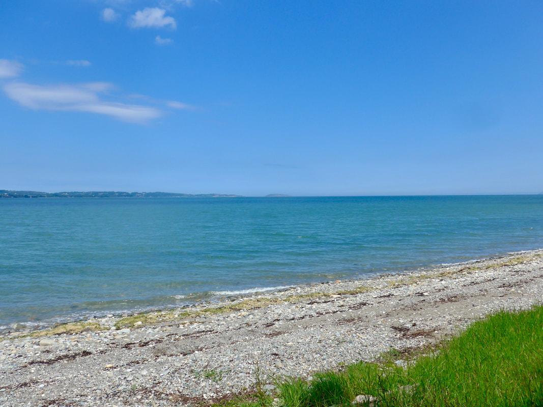
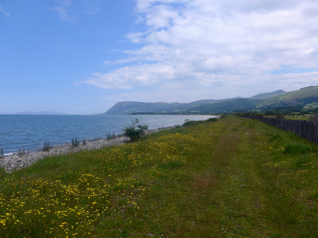
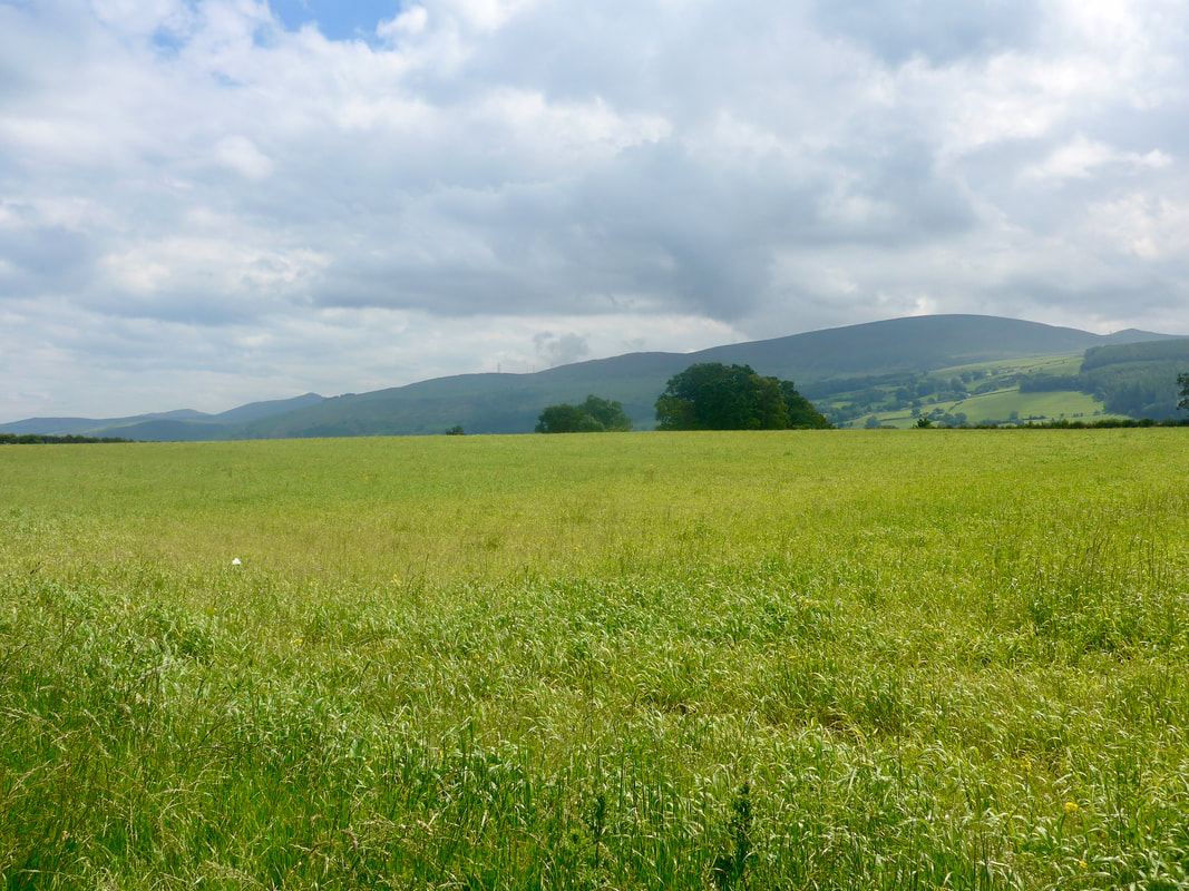
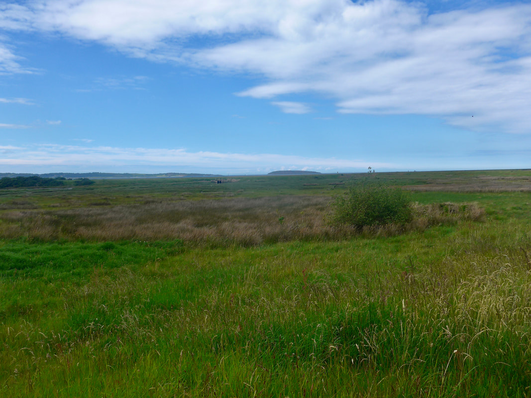
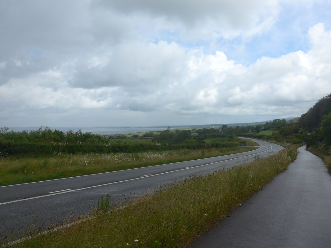
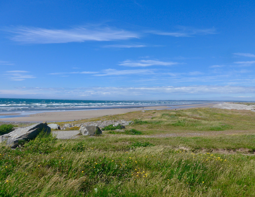
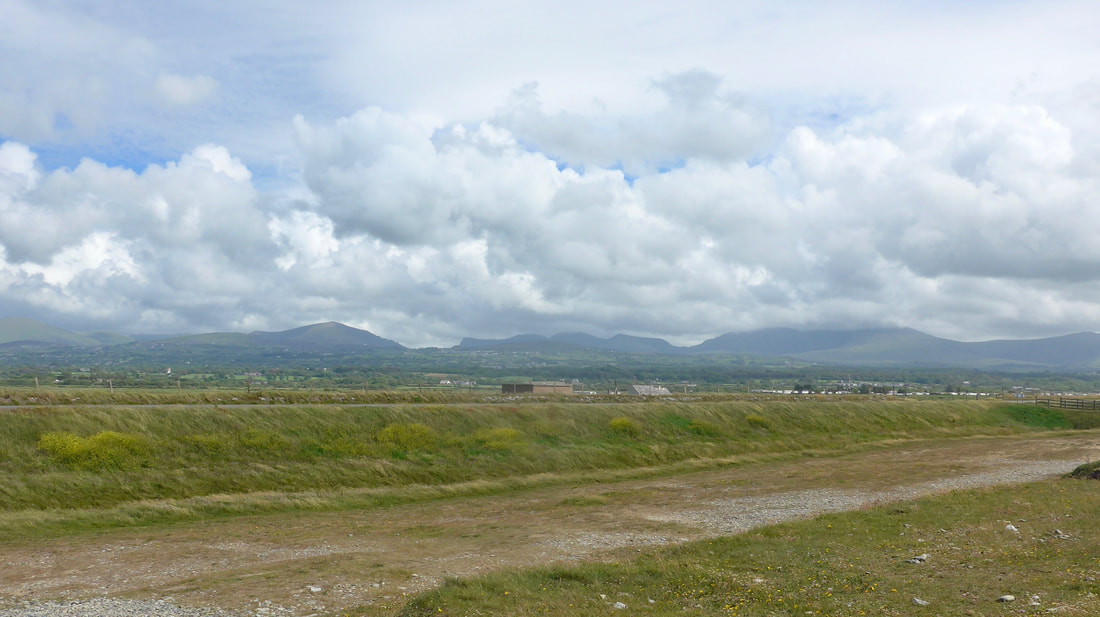
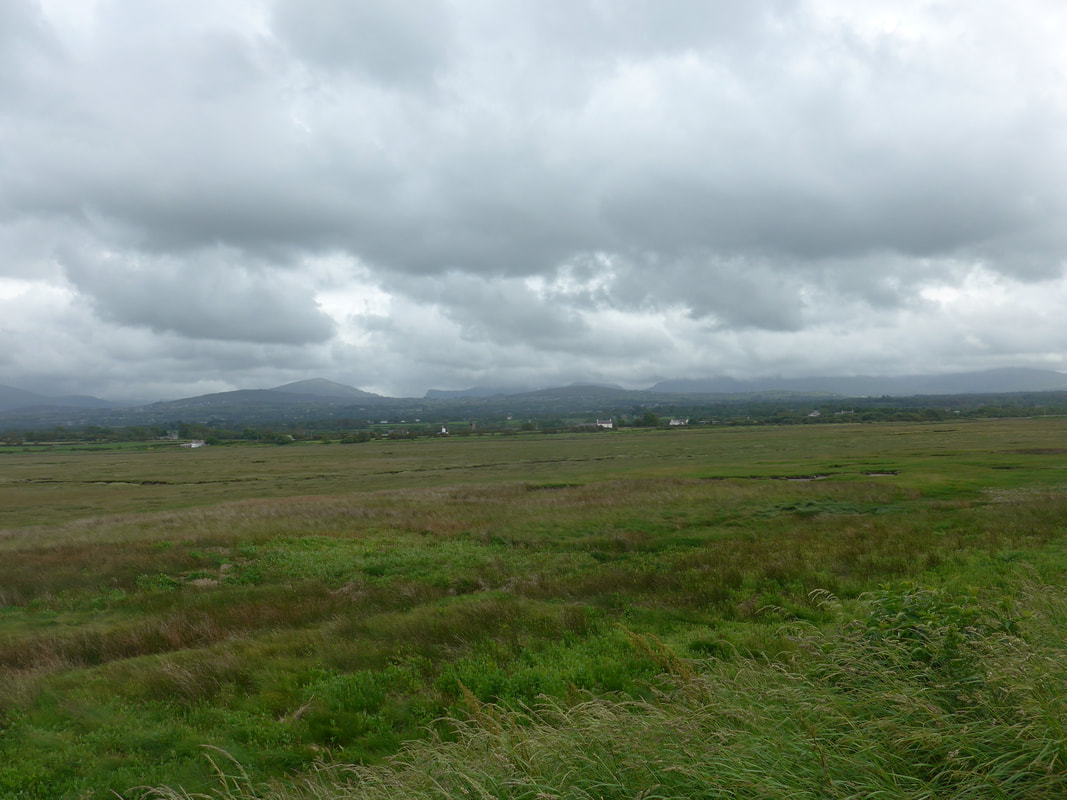
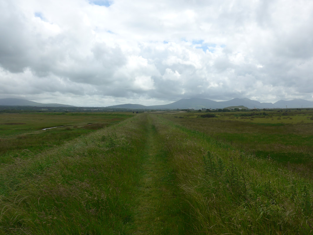
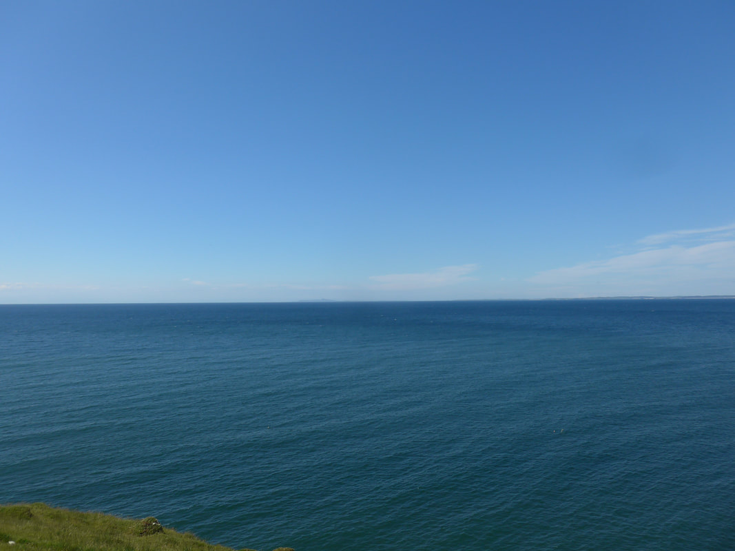
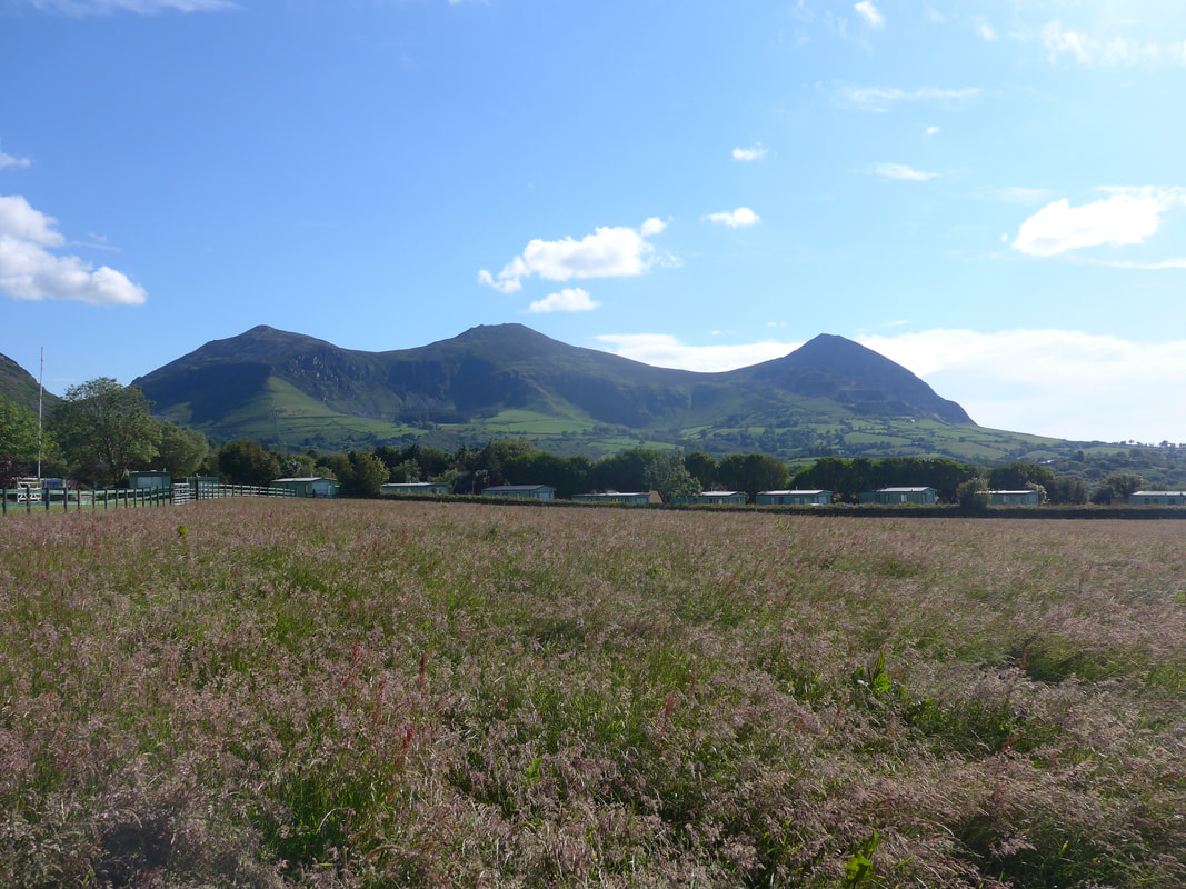
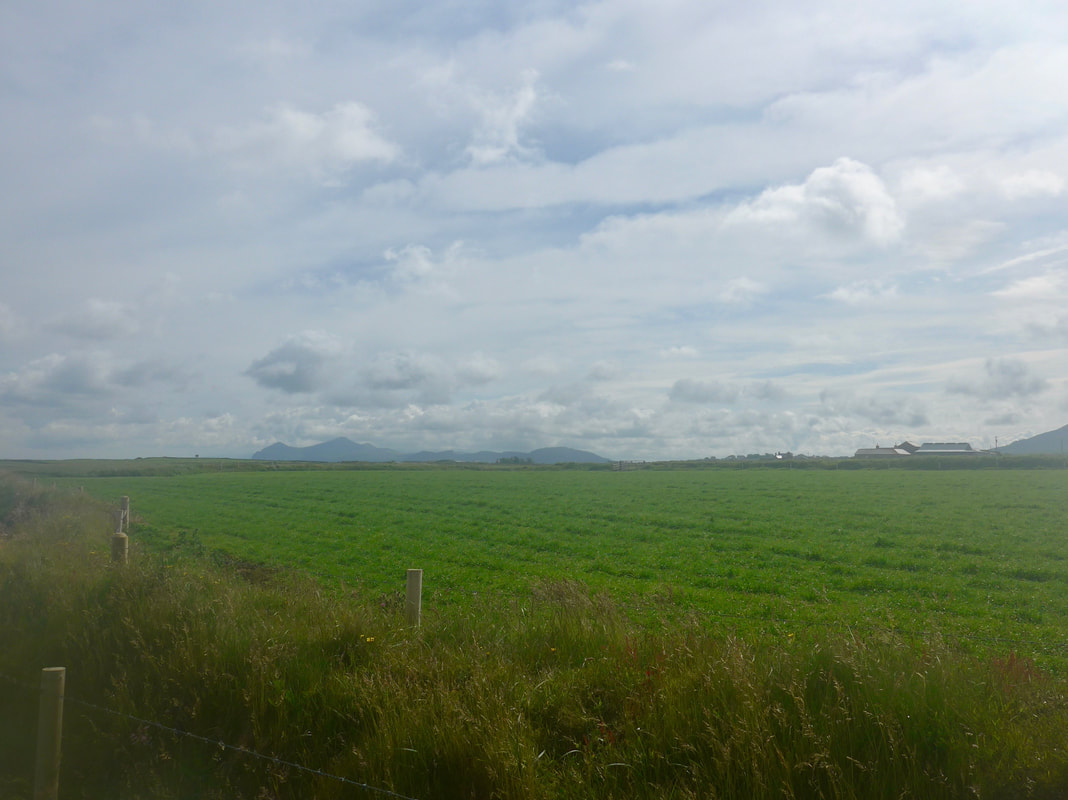
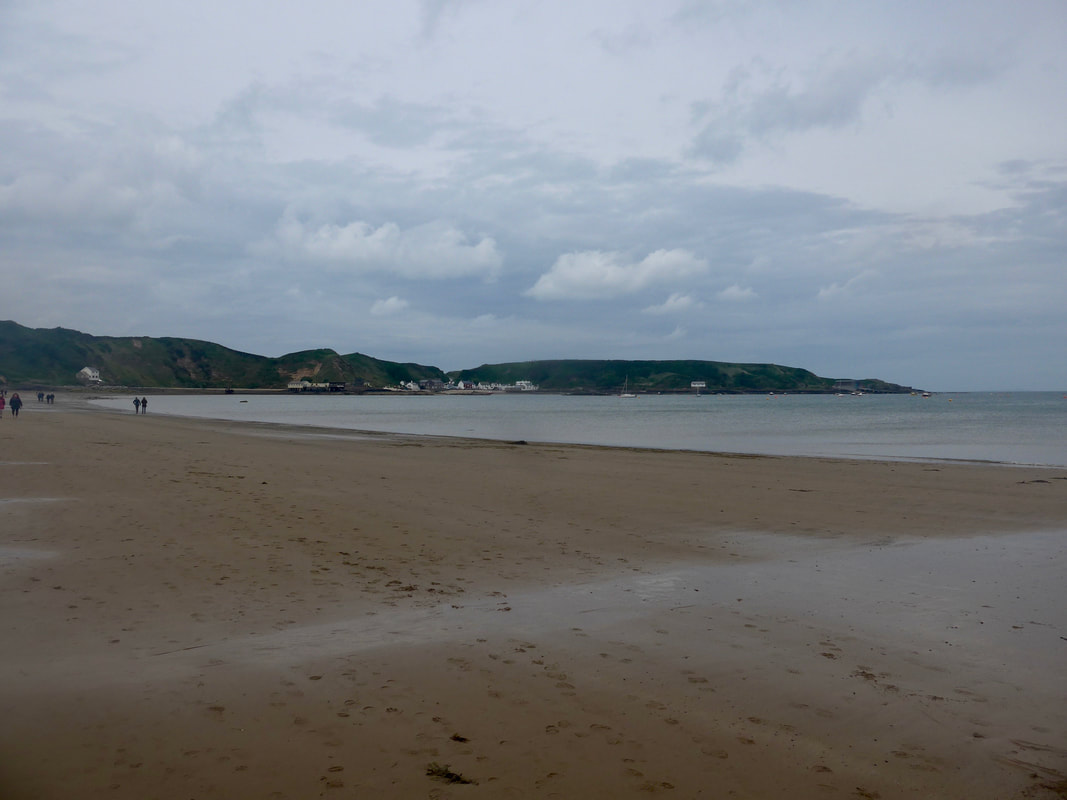
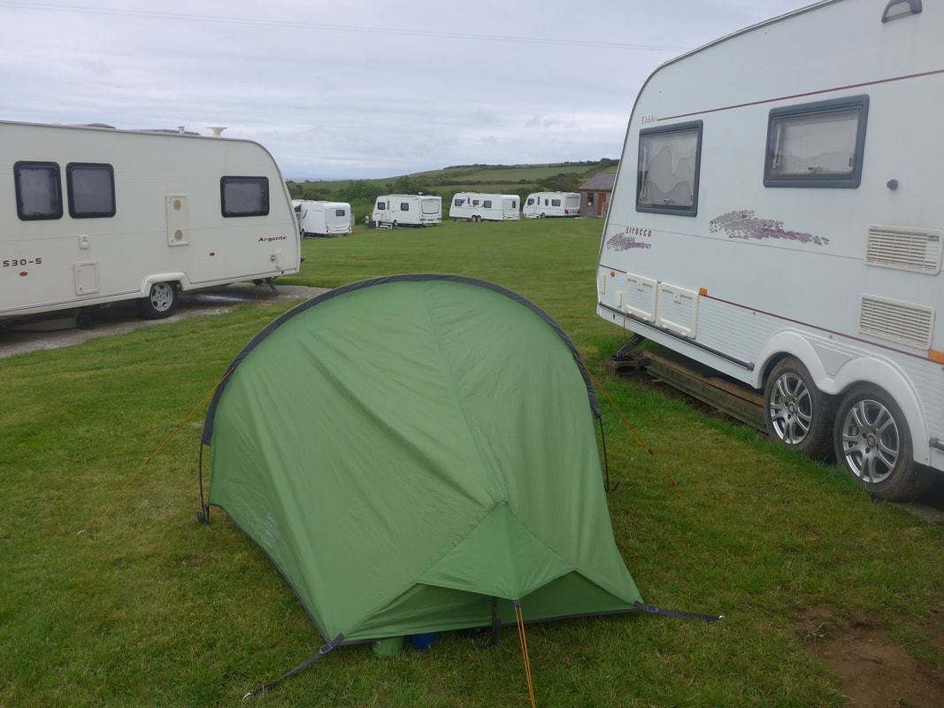
Today was the very short day as I walked on from Colwyn Bay to a campsite at the seaside resort of Towyn. It was a nice gentle stroll along the beach in nice sunshine and, when I became fed up with the barriers on the beach, a walk on the roadside. It was a very uneventful walk, nice enough with views east and west along the coast but unremarkable. Arriving early at the campsite, I had the tent up toot-sweet and spent the afternoon and early evening sitting in the sun.
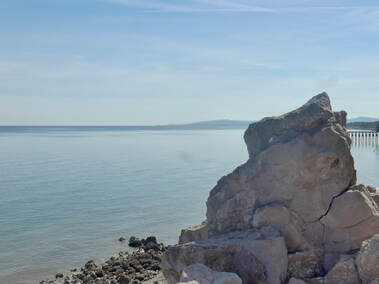
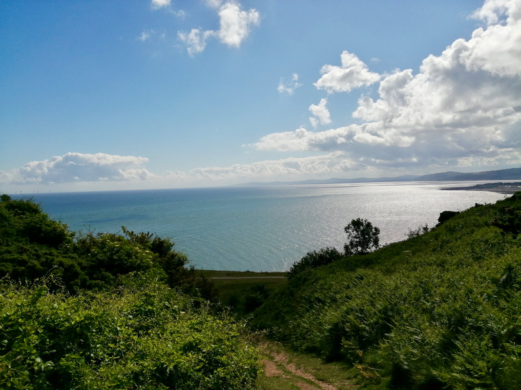
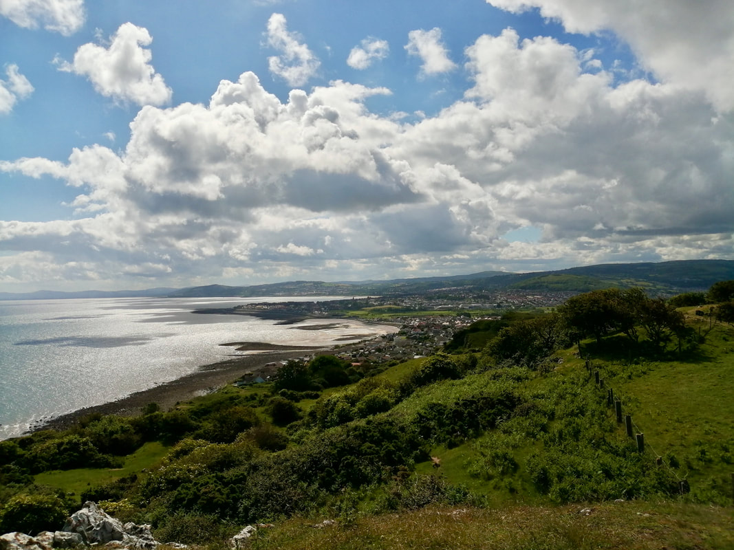
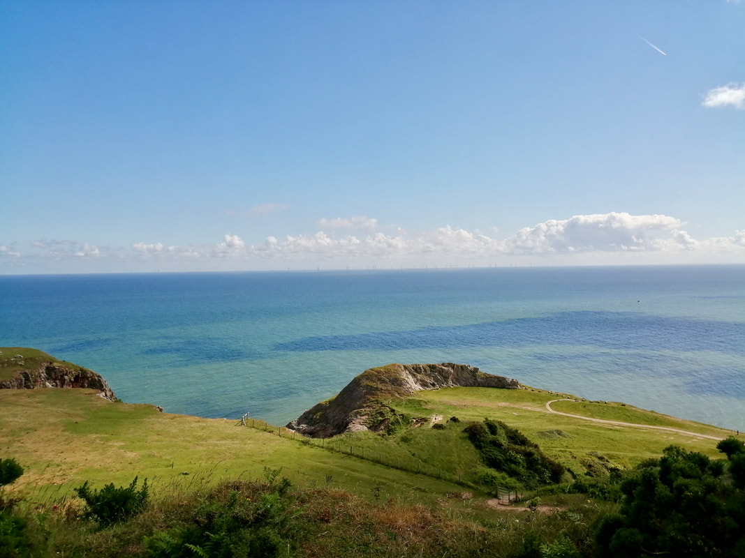
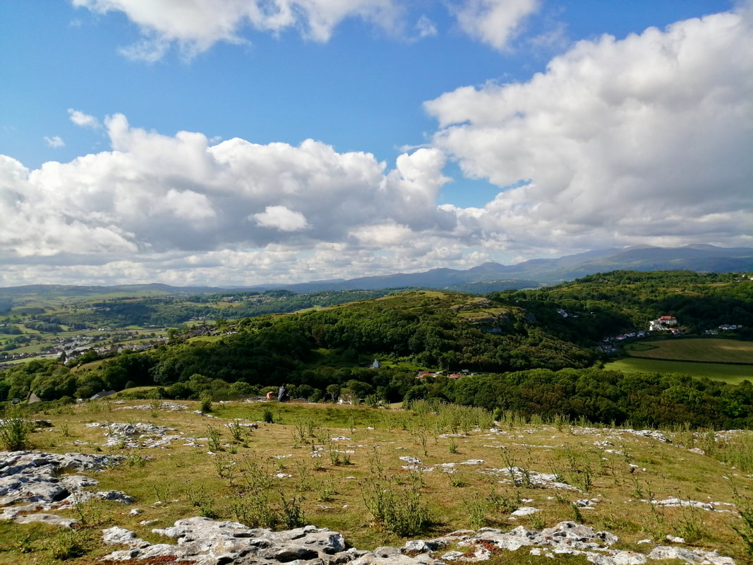
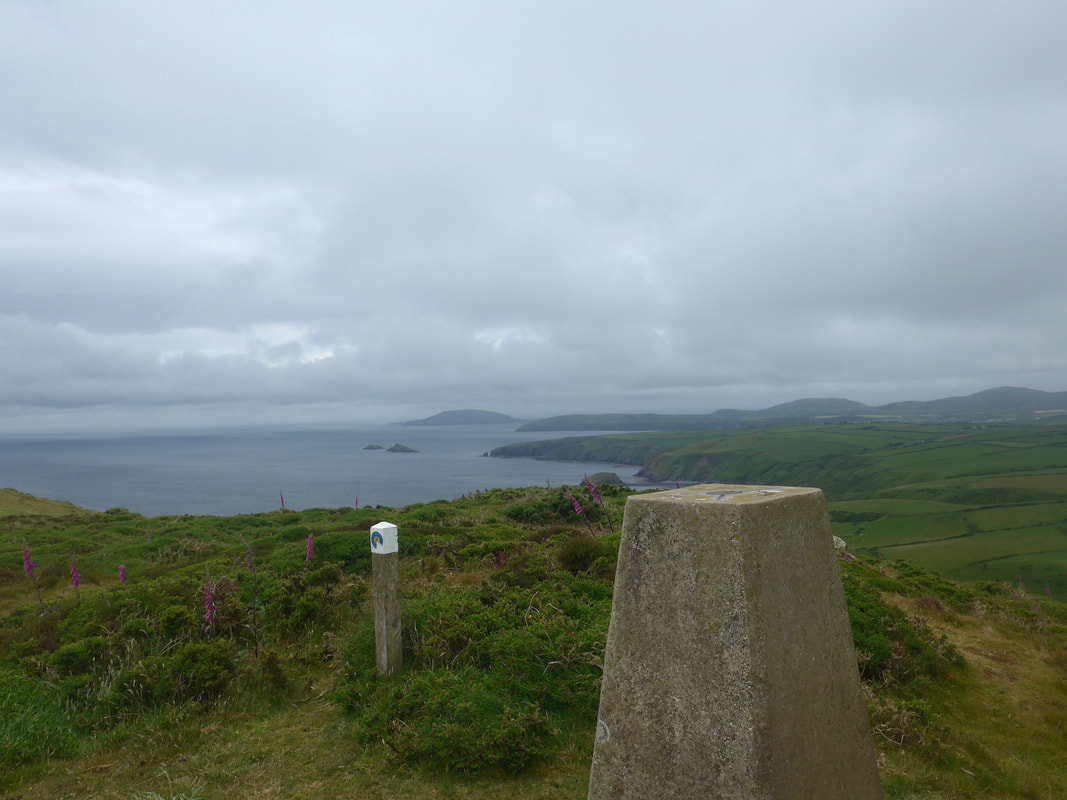
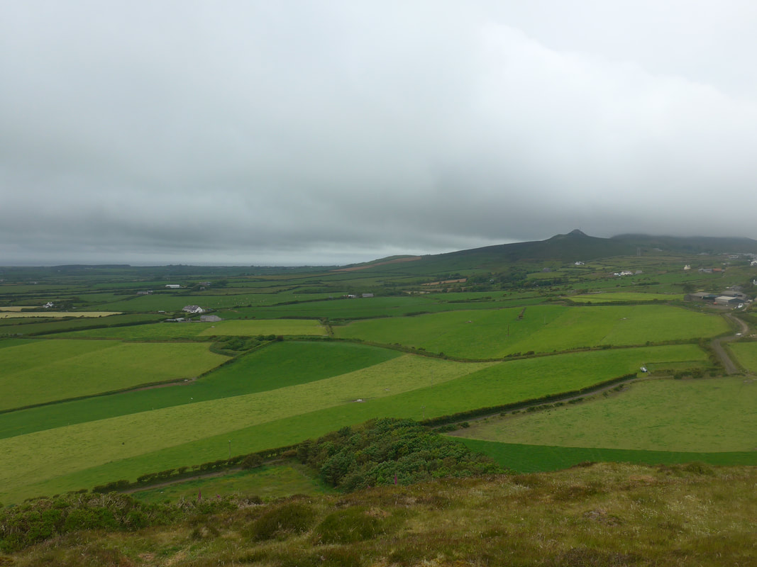
Views Along Colwyn Bay


 RSS Feed
