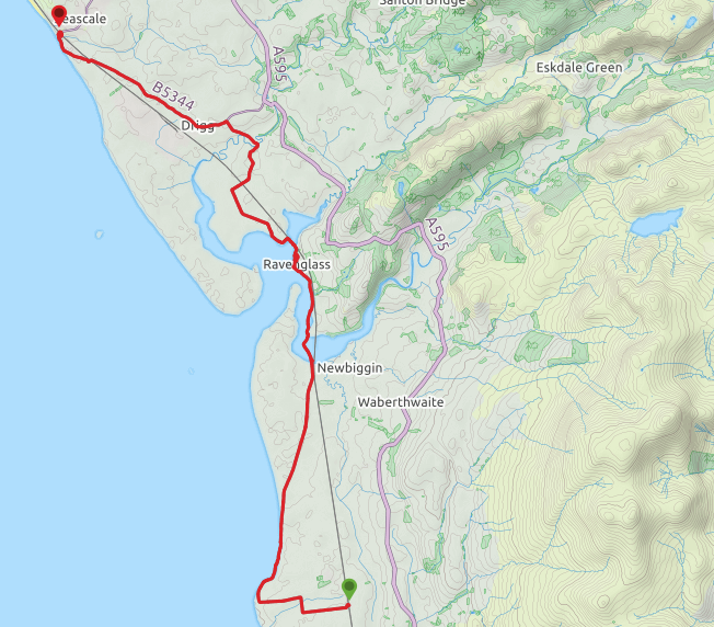
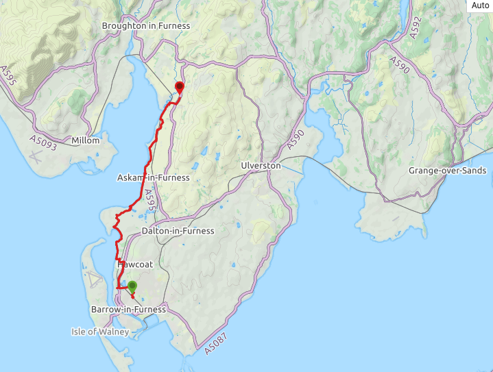
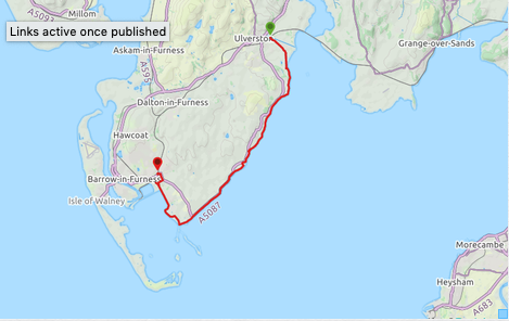
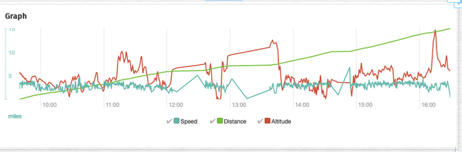
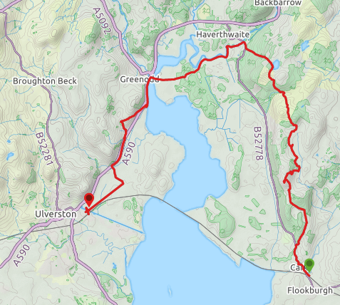
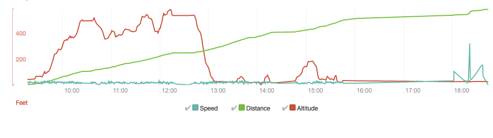
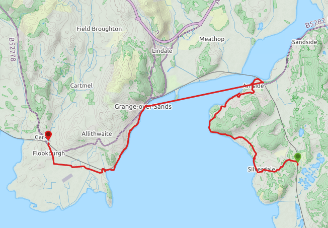
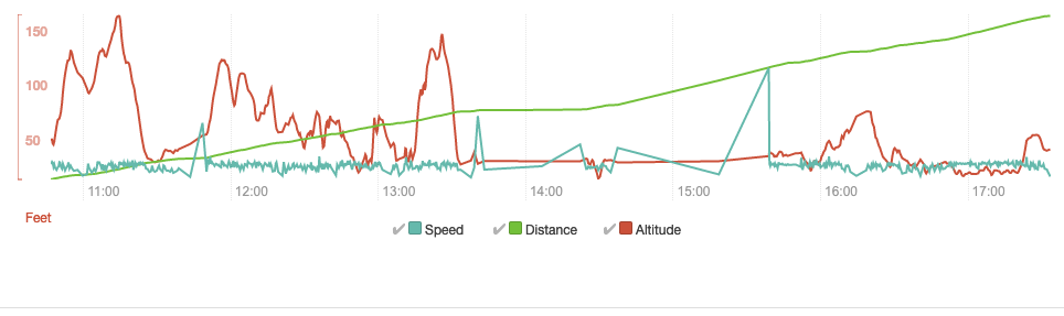
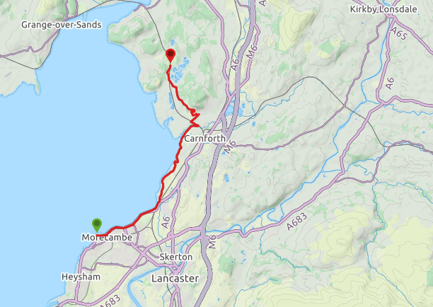
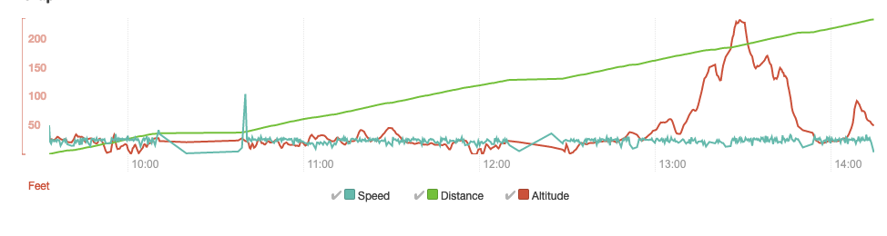
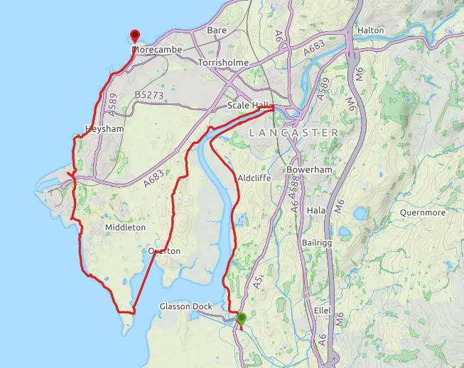
Route Map
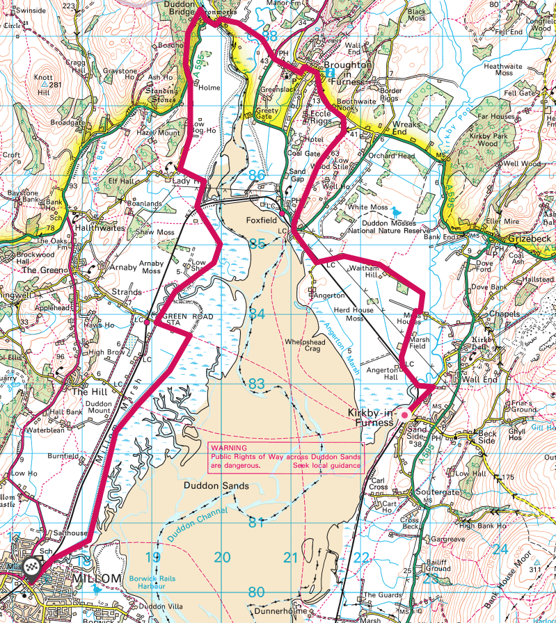
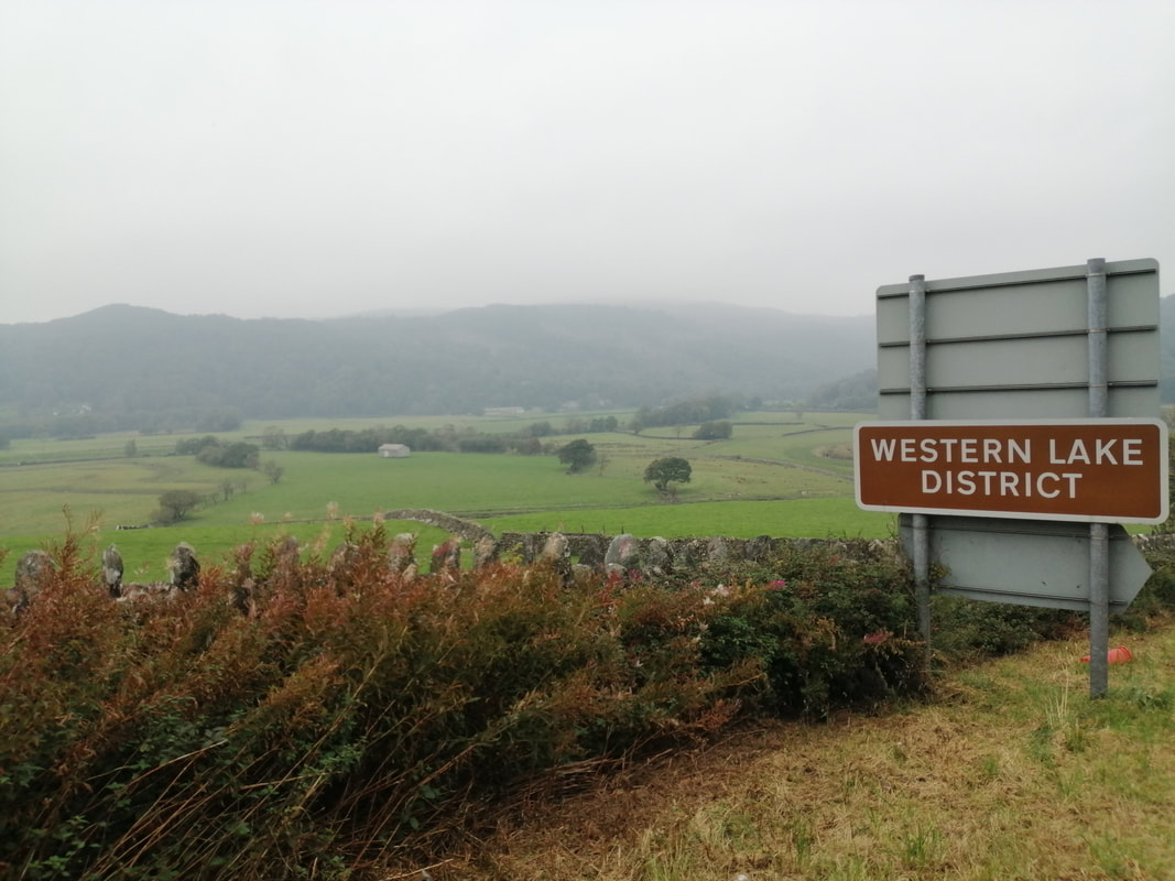
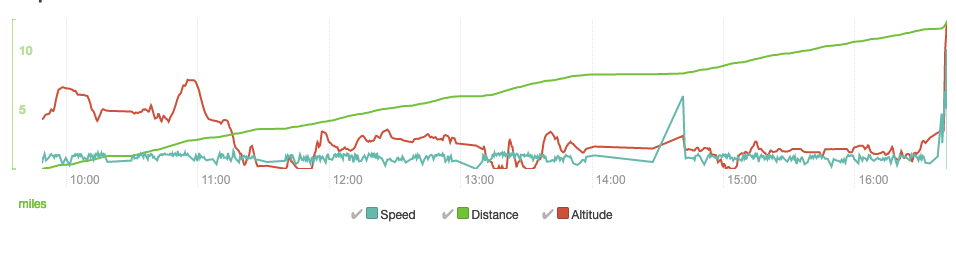
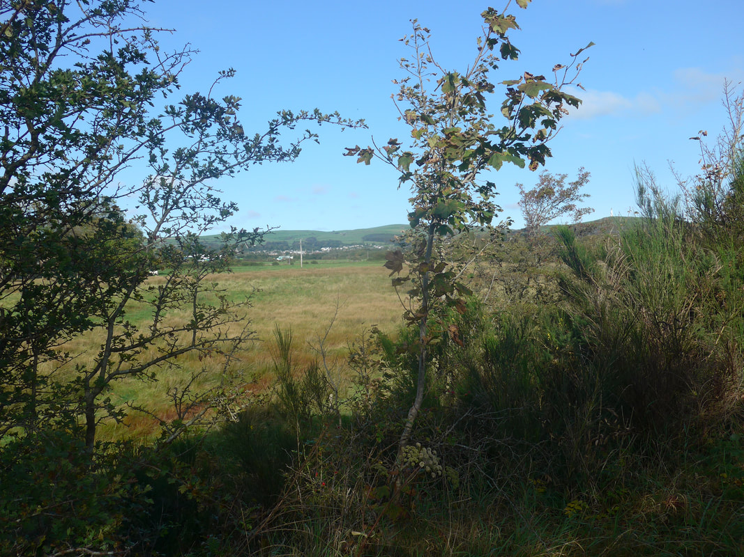
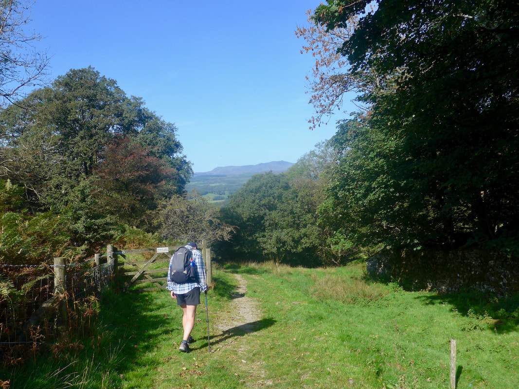
Today's walk promised to be challenging in a number of ways. First of all the weather forecast was for rain for most of the day. Secondly, there are two potential river crossings, dependent on the state of the tide. If the tide is against us we will have no option but to take the longer way round and head upriver to the nearest crossing. As well as the river crossings there is a military zone Eskmeal Range) on our route and, if the red flag is flying, which is what we expect, we will have to take the road round the range rather than walk on the beach.
The plan was to take to the coast at Selker Bay for the walk to the military zone and to take the beach or the small road round the base and on to our first river crossing over the River Esk. A short walk up the River Esk to Ravenglass follows where we hope to have a break. Leaving Ravenglass there is a short walk across the marsh, another potential wade across the River Irt, just after Carleton Hall, before hitting the beach below Drigg for the final section into Seascale.
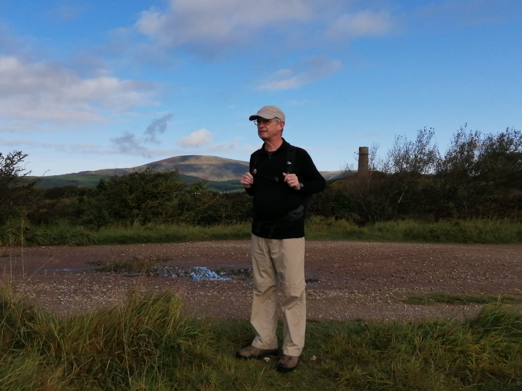
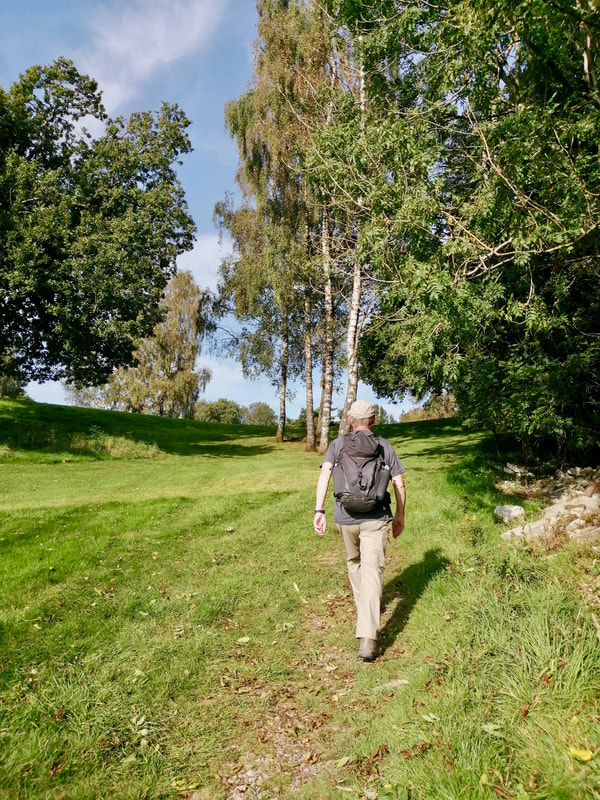
Walking with my wife and daughter today, we were walking light with only day packs, primarily with the waterproofs, snacks and water.
The plan was to take to the coast at Selker Bay for the walk to the military zone and to take the beach or the small road round the base and on to our first river crossing over the River Esk. A short walk up the River Esk to Ravenglass follows where we hope to have a break. Leaving Ravenglass there is a short walk across the marsh, another potential wade across the River Irt, just after Carleton Hall, before hitting the beach below Drigg for the final section into Seascale.
Walking with my wife and daughter today, we were walking light with only day packs, primarily with the waterproofs, snacks and water.
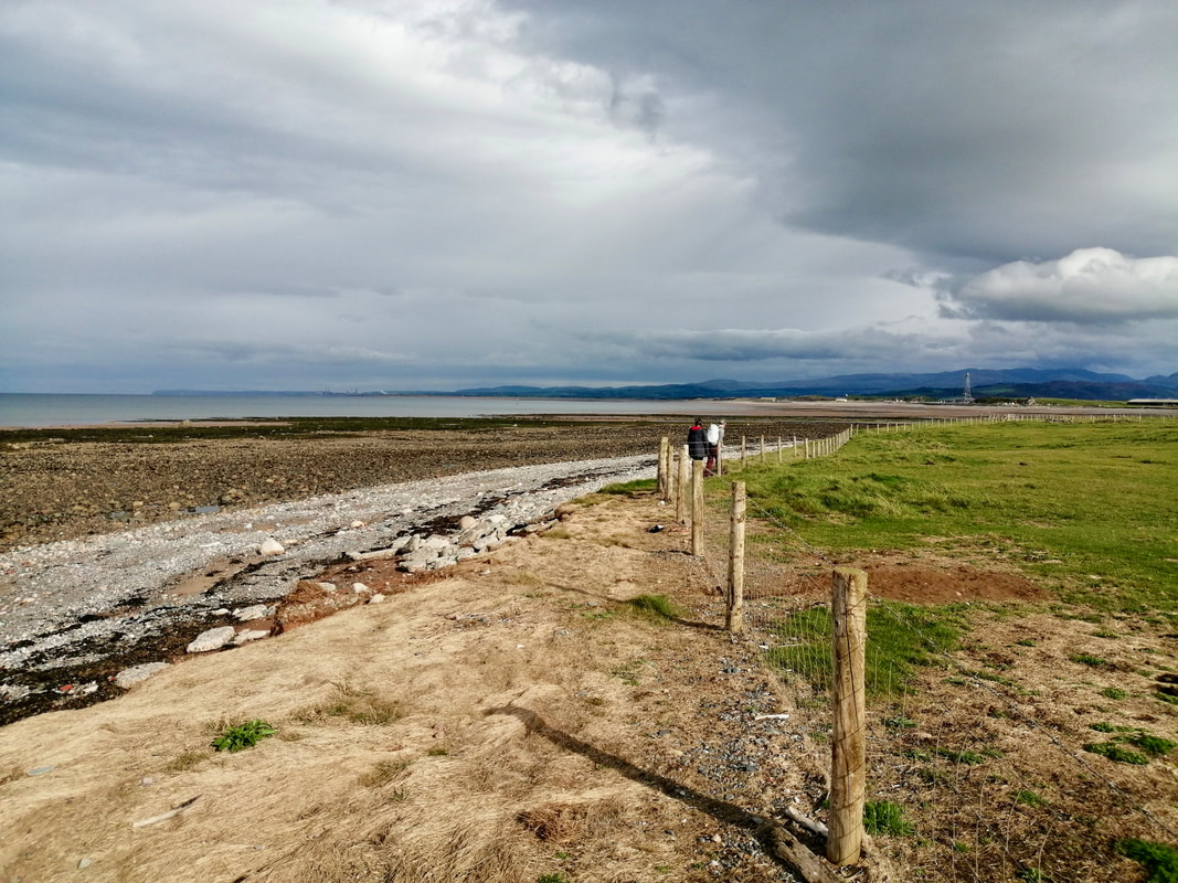
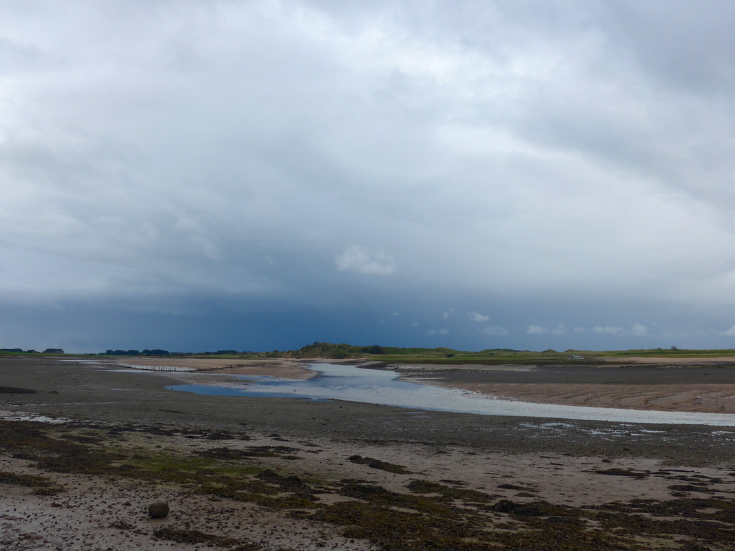
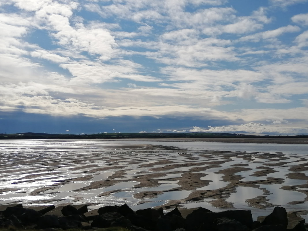
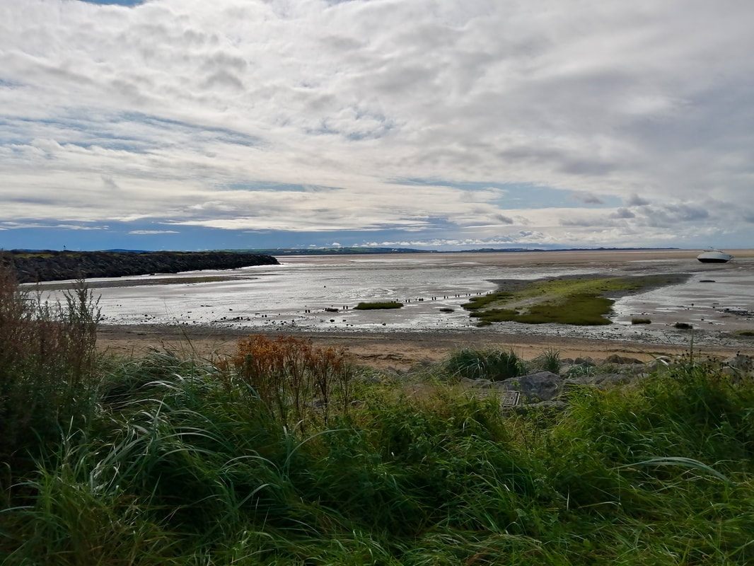
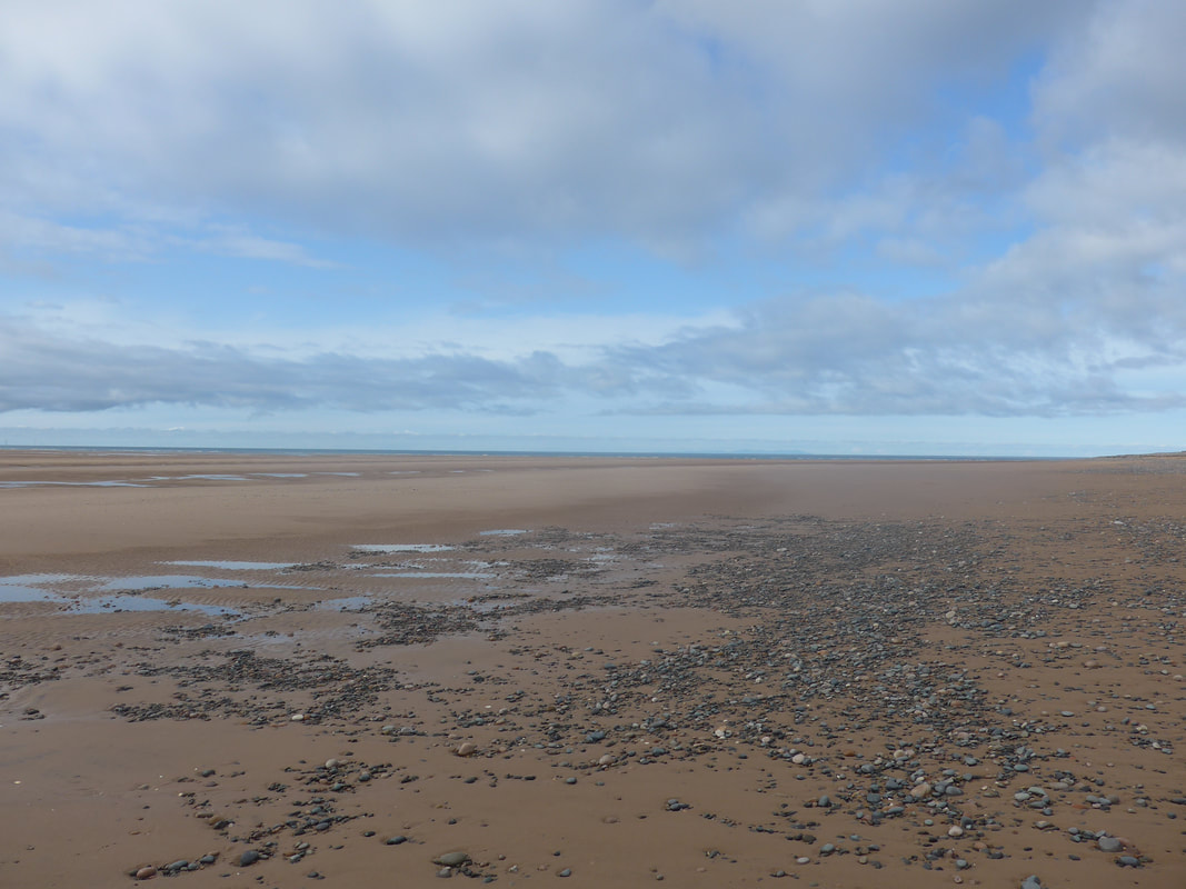
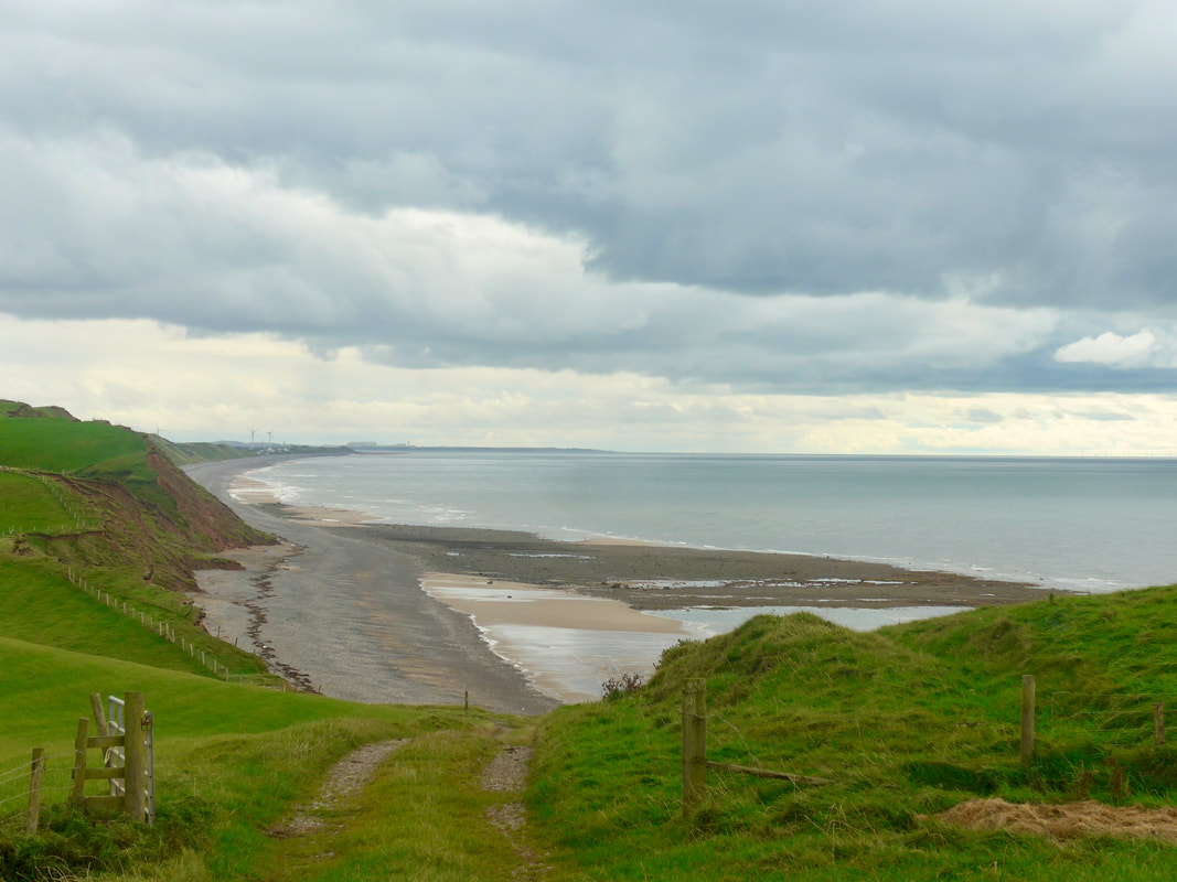
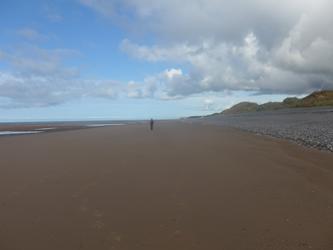
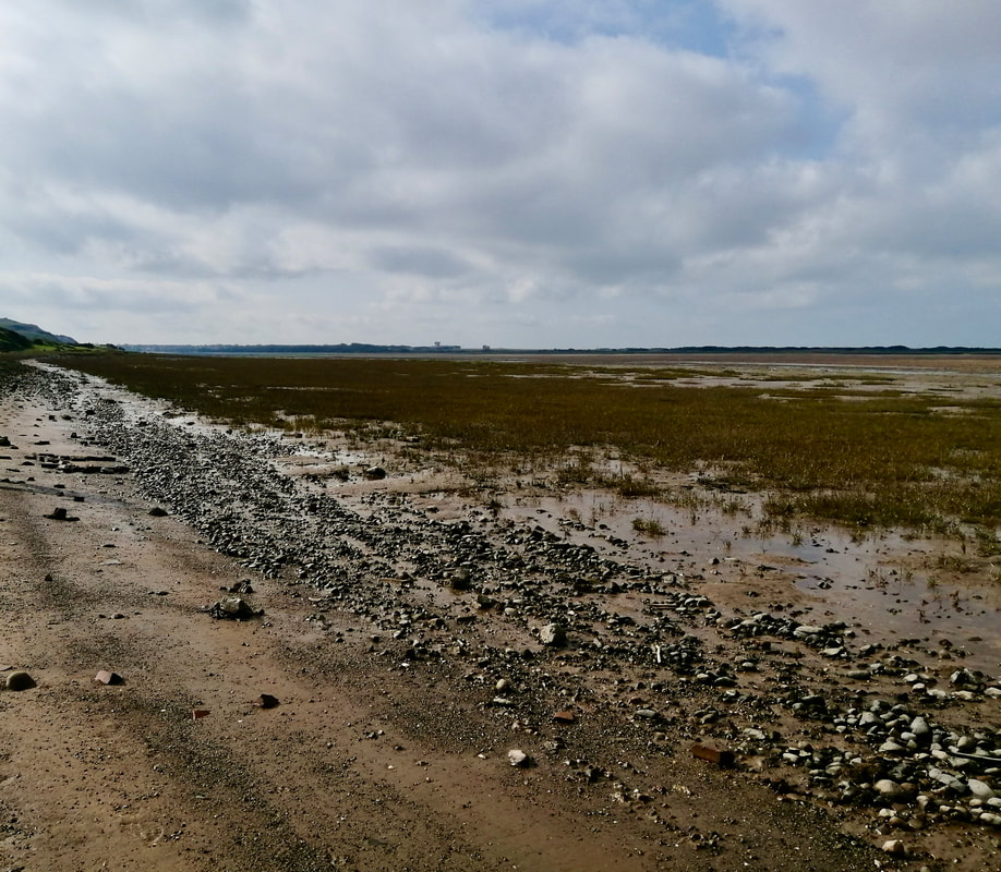
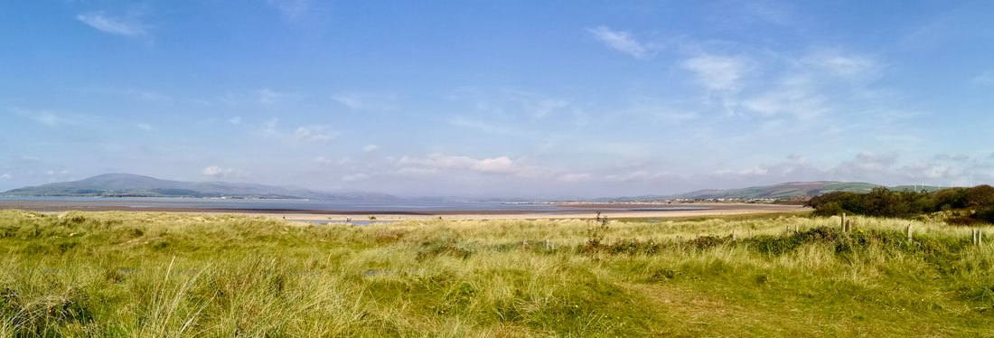
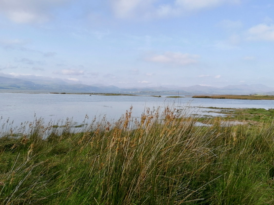
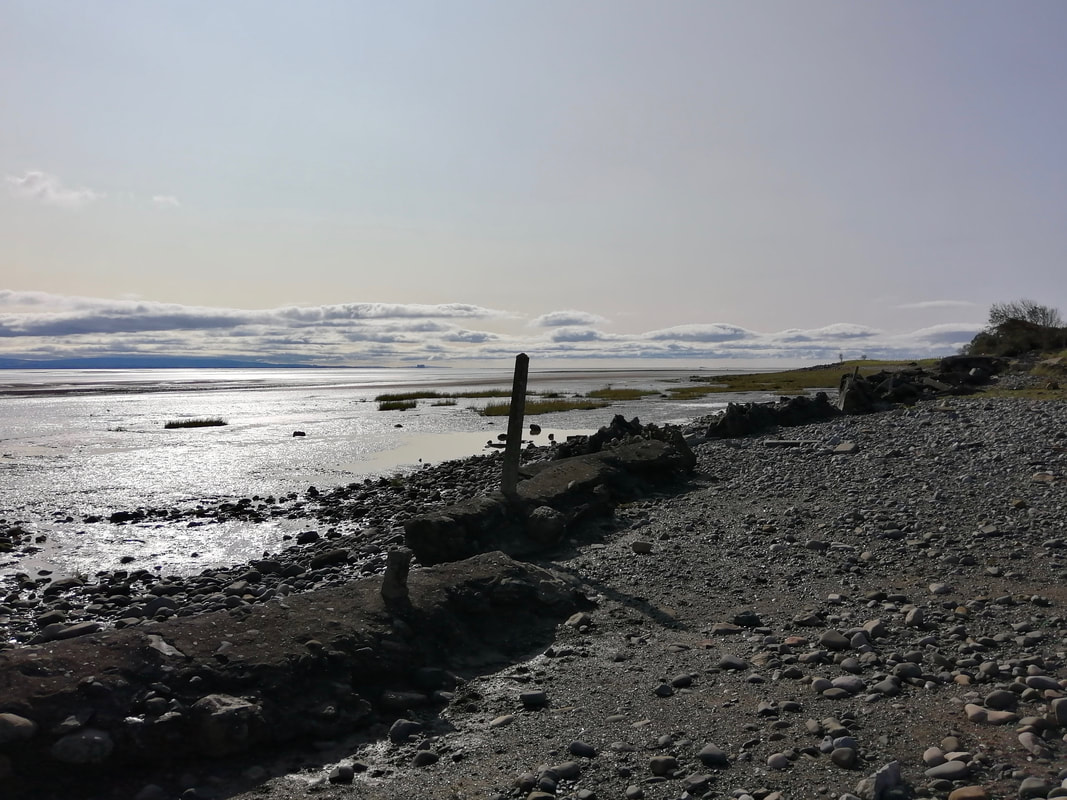
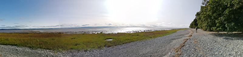
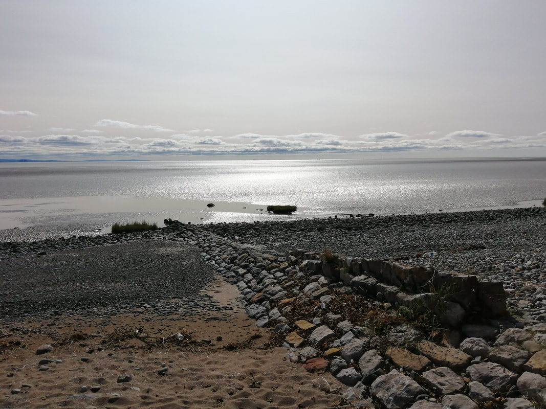
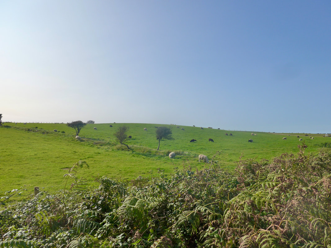
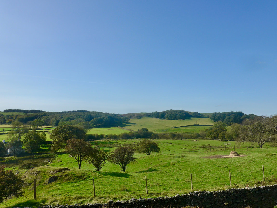
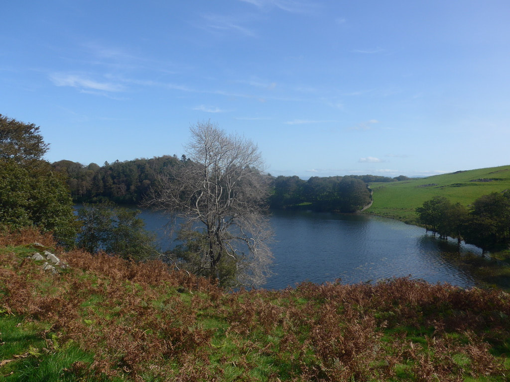
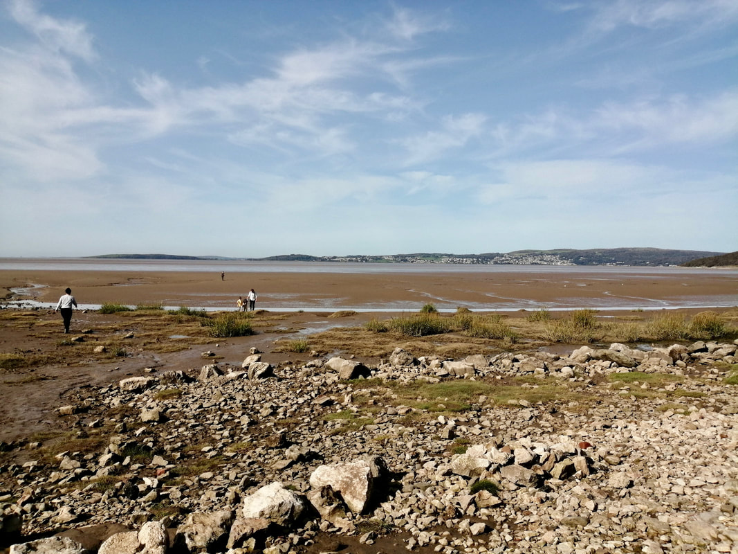
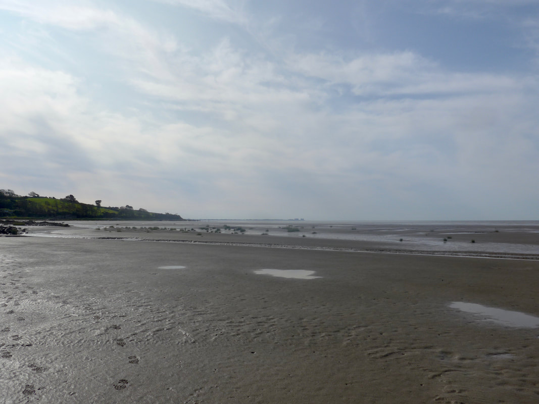
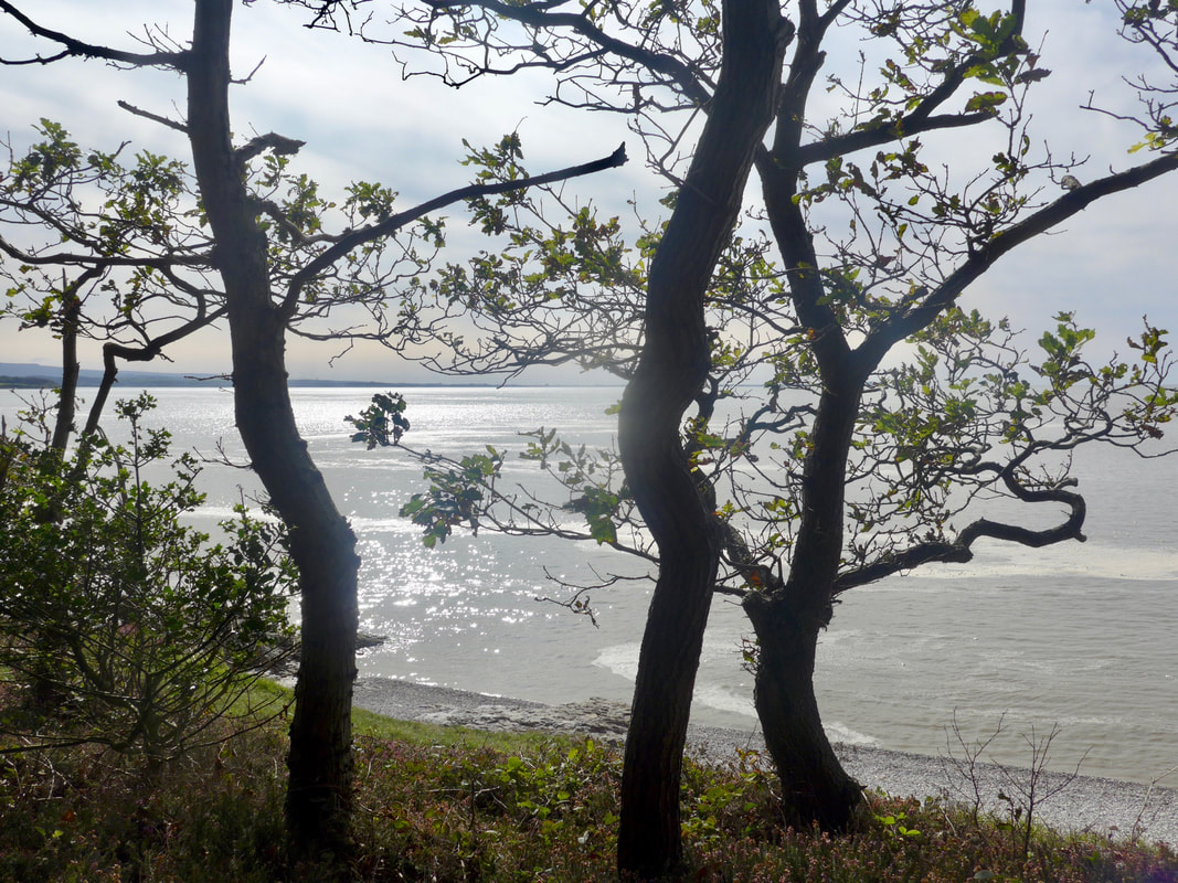
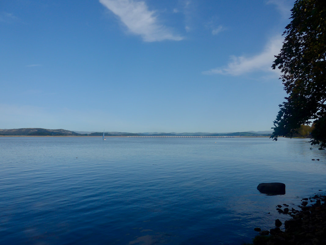
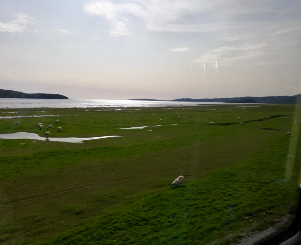
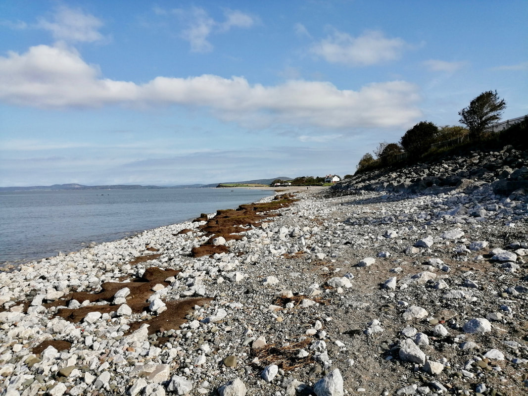
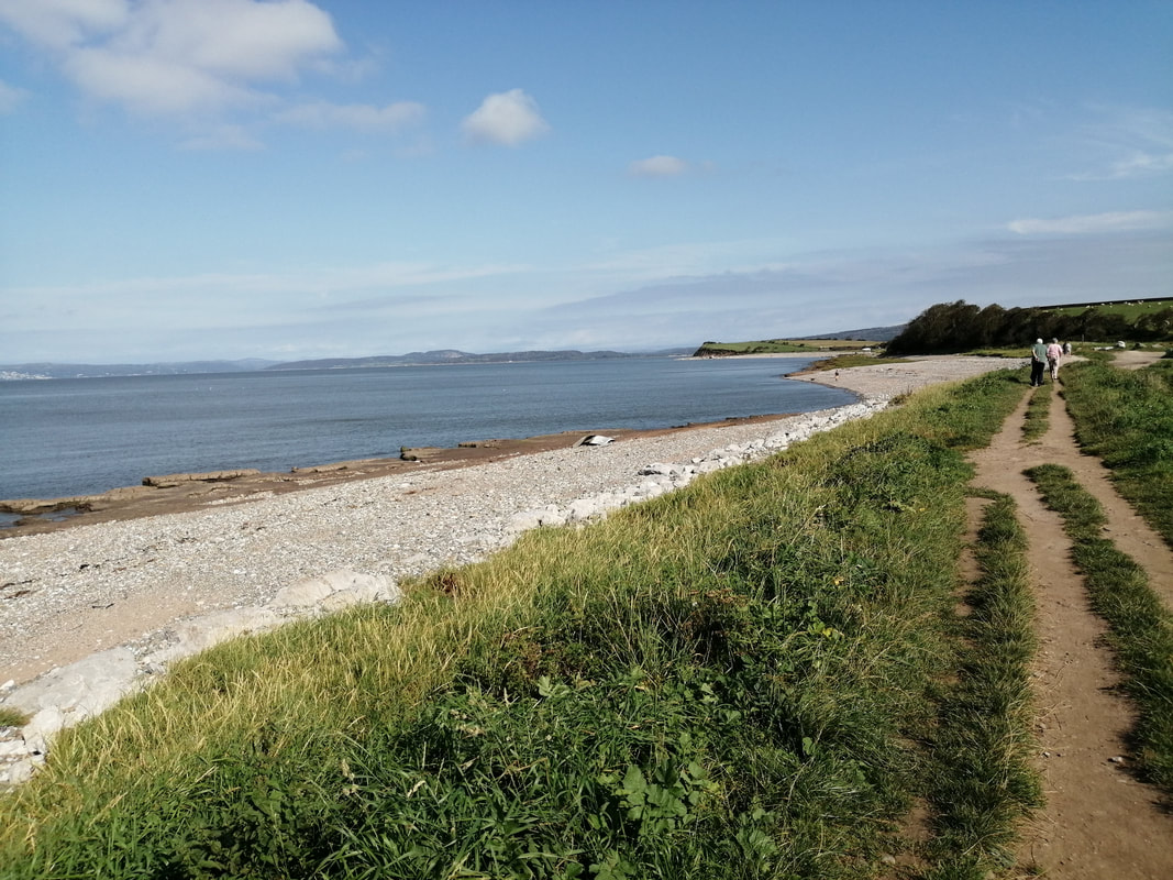
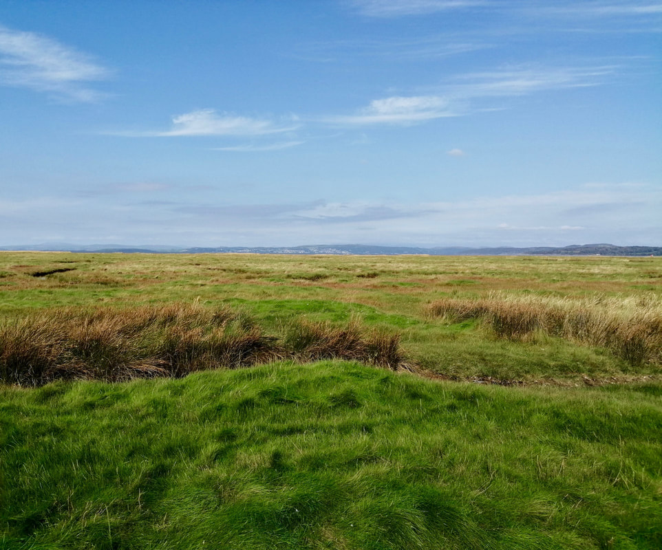
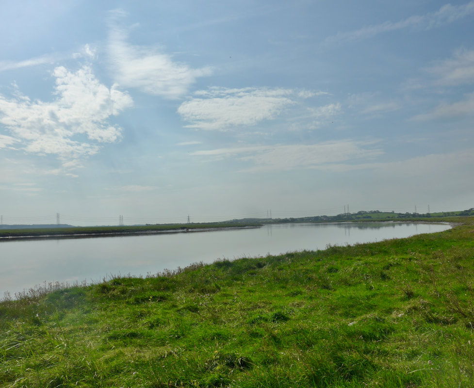
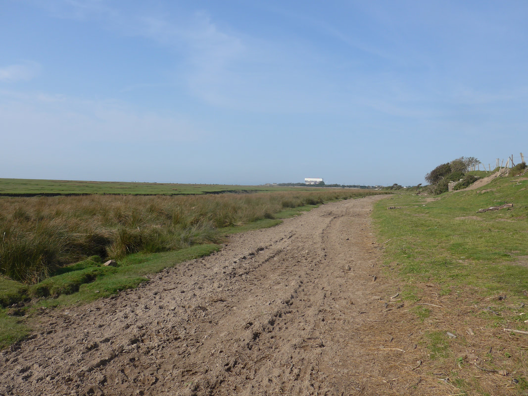
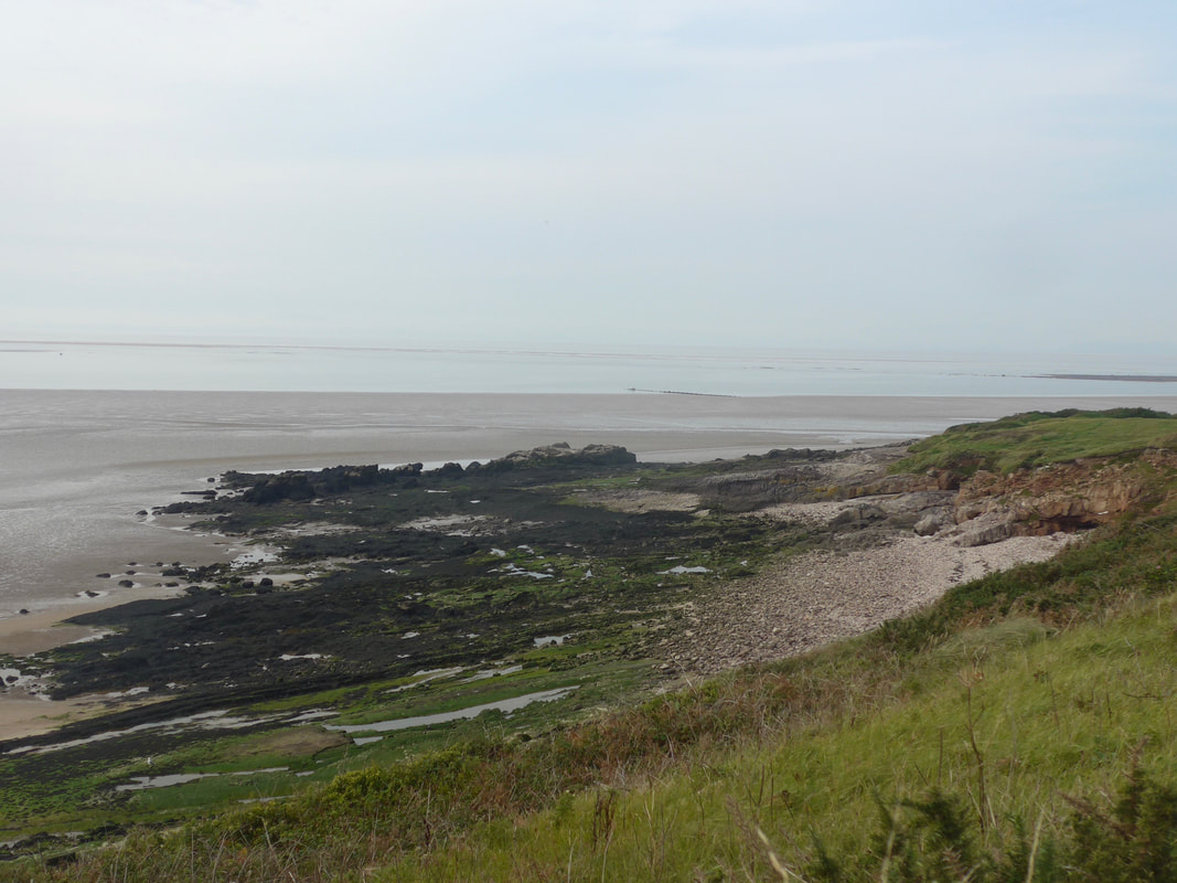
 Selkar Bay
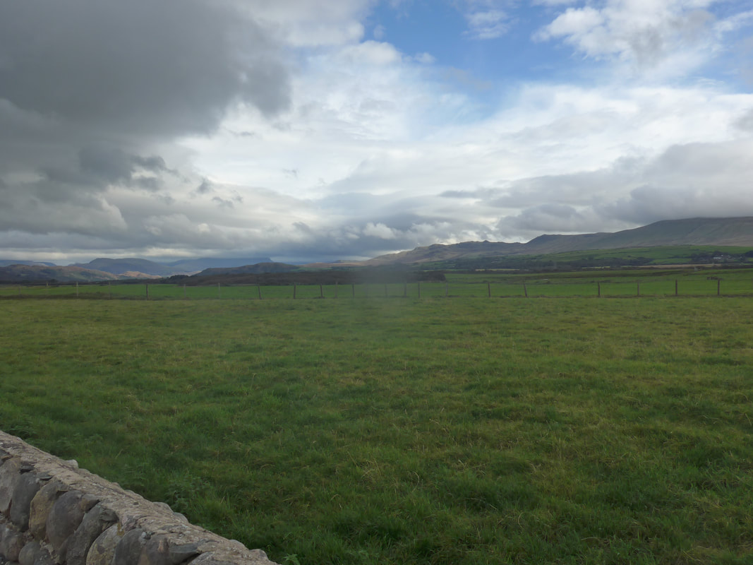
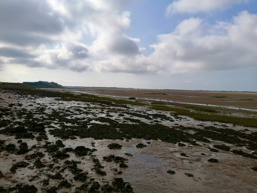
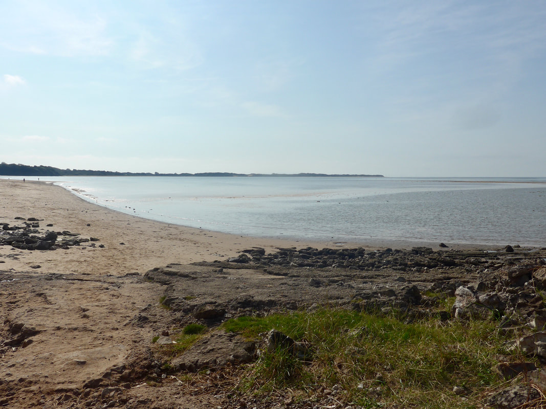
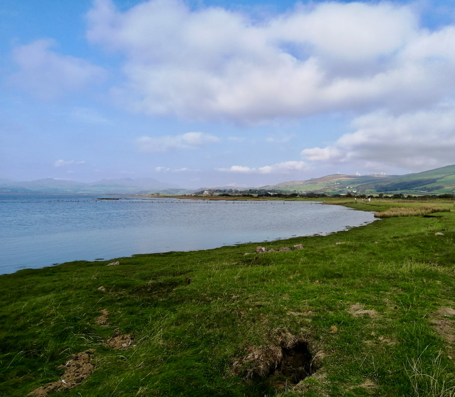
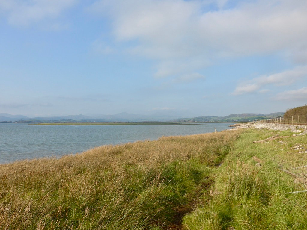
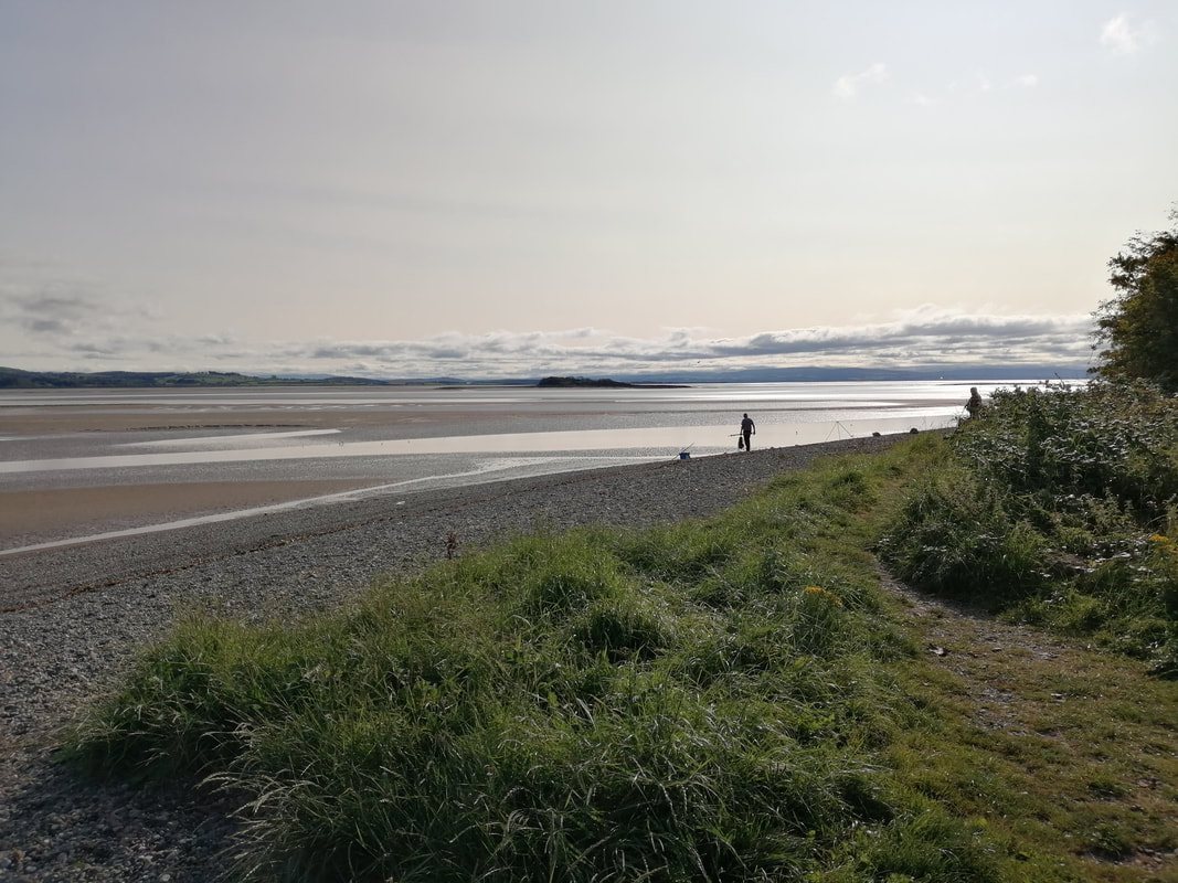
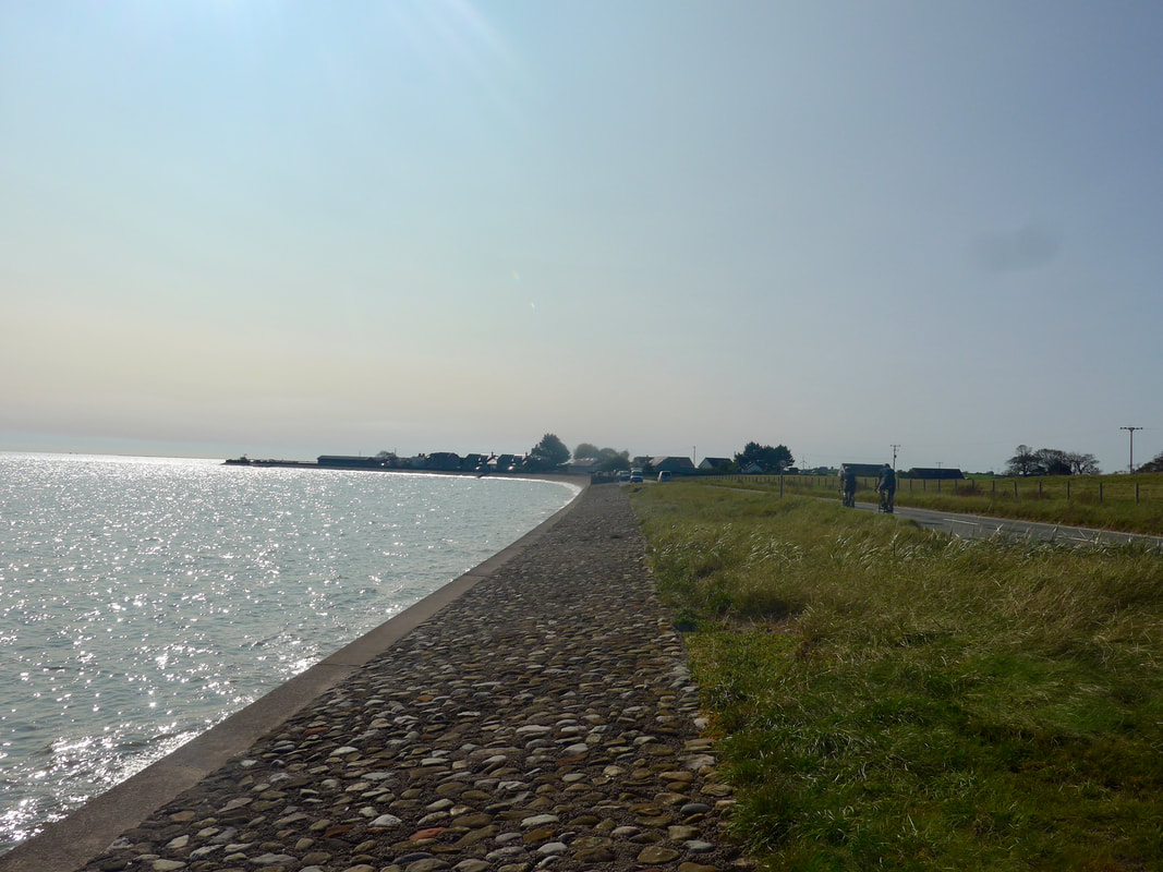
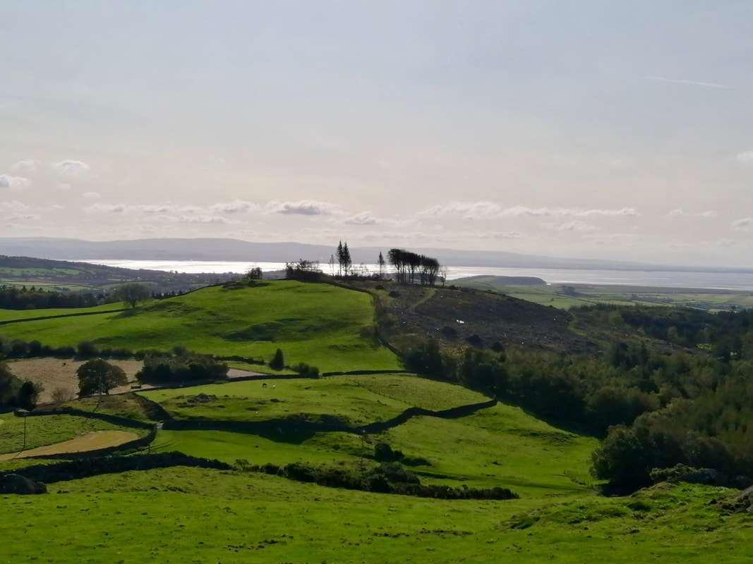
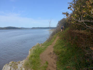
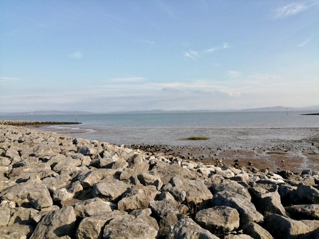
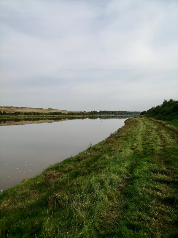
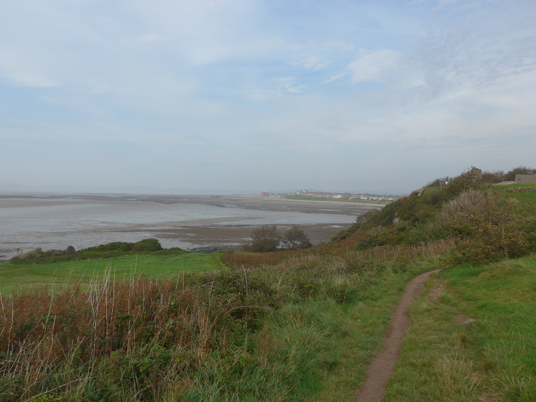
 By the time we reached the shore at Selker Bay the clouds had started to gather overhead, essentially confirming we would be walking in the rain. It was slightly chilly to begin with, a cold breeze coming off the sea, but we warmed up as we walked.
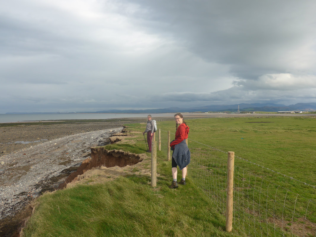
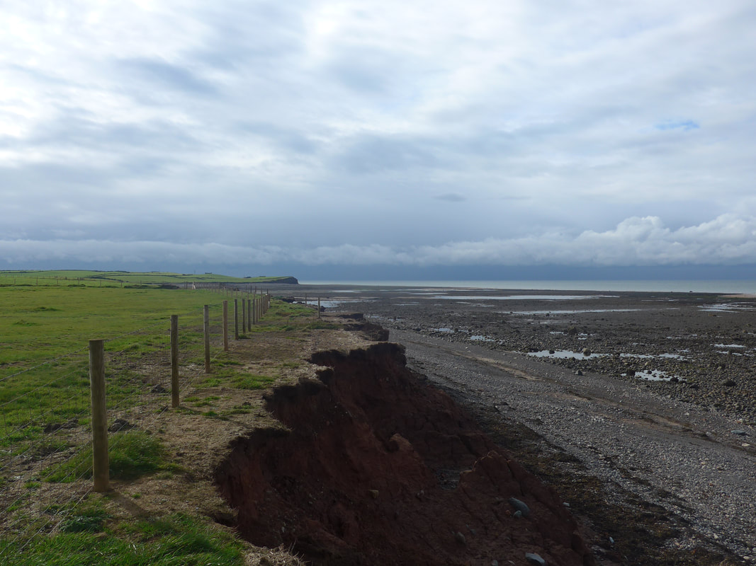
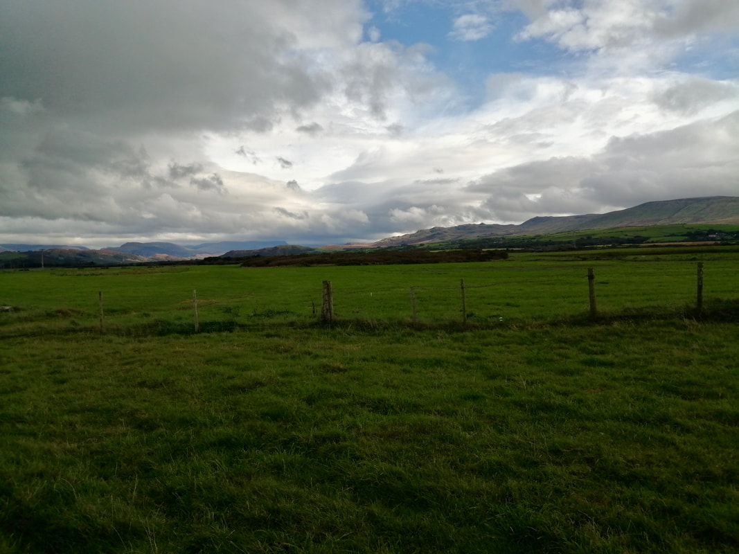
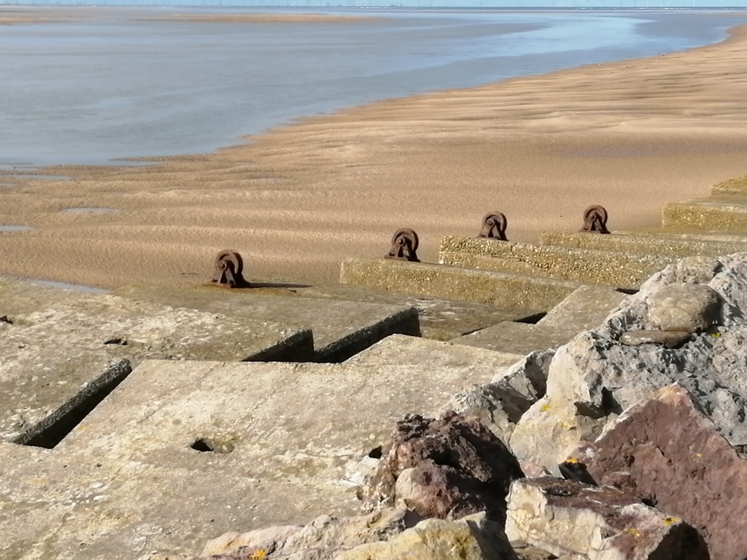
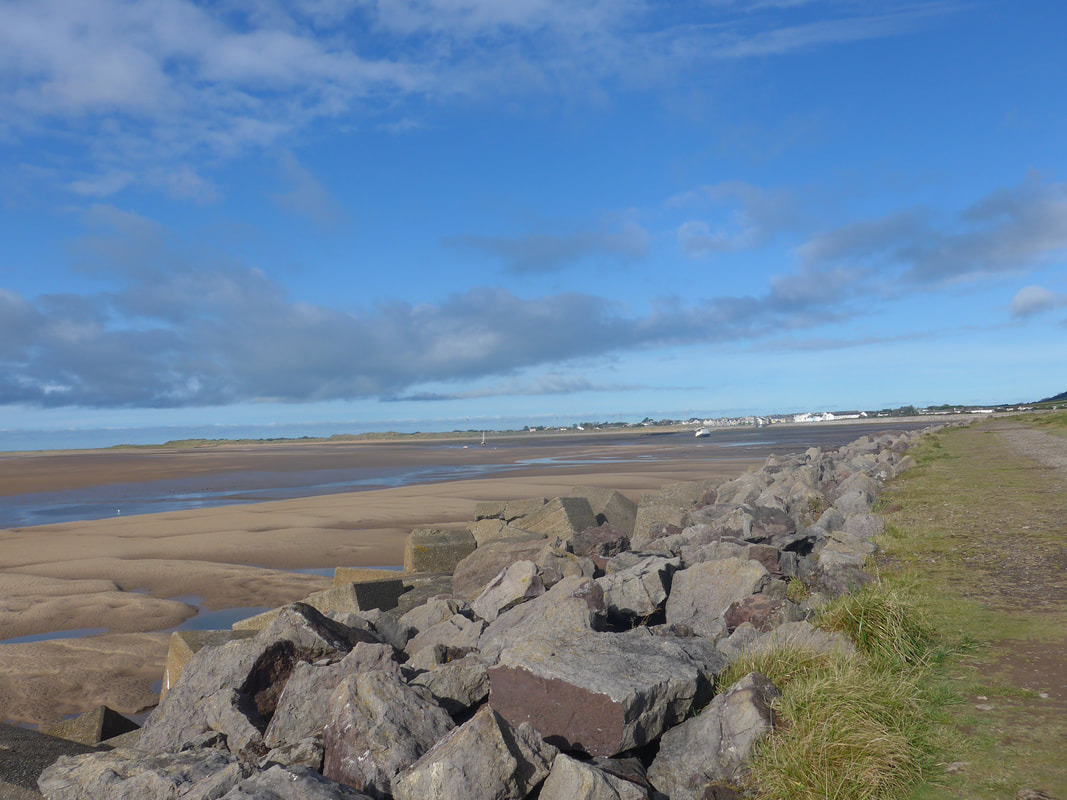
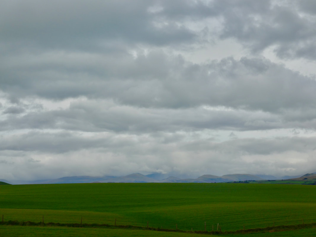
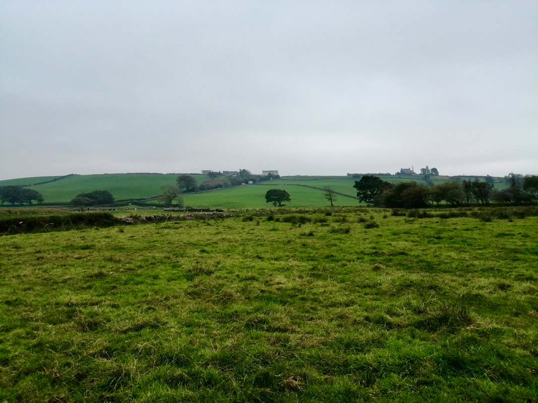
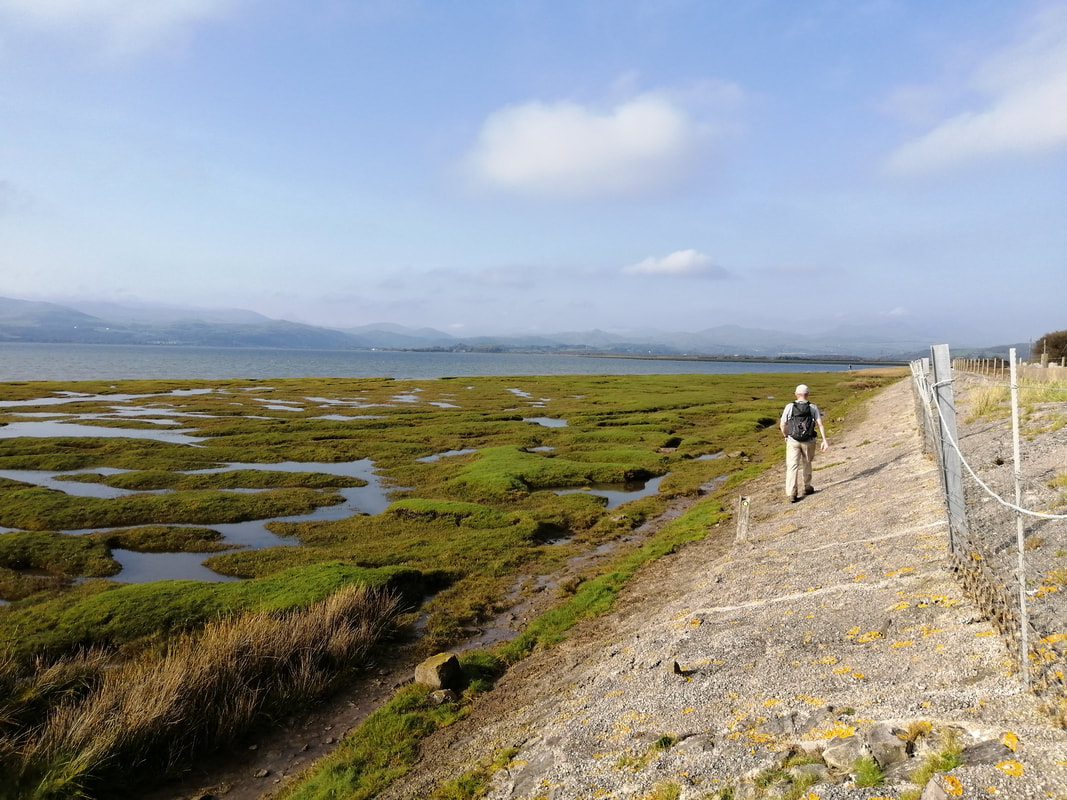
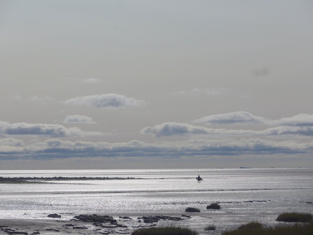
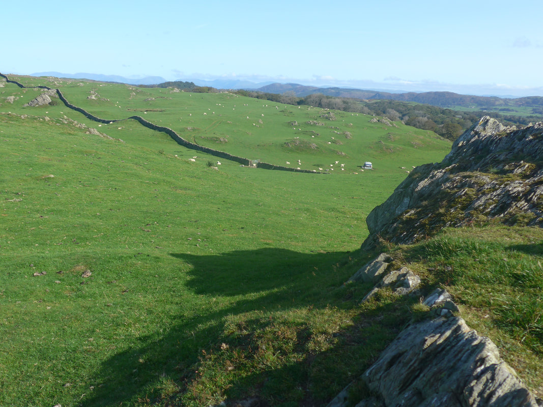
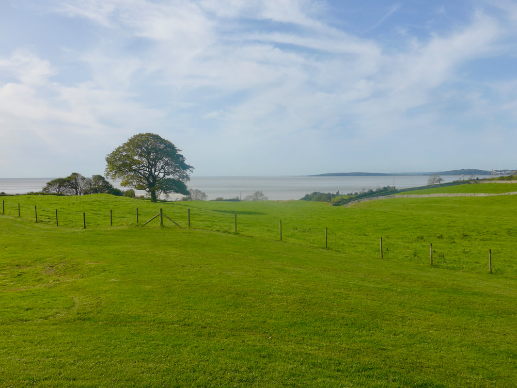
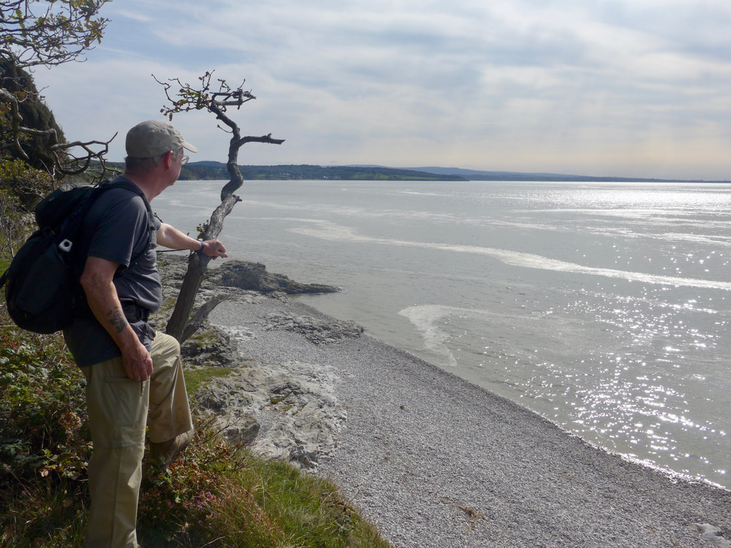
Walking behind the beach on a low raised shelf it was clear that the shoreline here is subject to fairly severe erosion. There were large bite-like gaps where the path should be and we were left wondering for how much longer you will be able to walk on the seaward side of the fence. Despite the overhead clouds and gathering darkness we had reasonable views out to sea and looking north over to the Cumbrian Mountains in the direction of Scafell Pike (3209 feet high, Englands highest mountain) and the Copeland Forest.
Walking behind the beach on a low raised shelf it was clear that the shoreline here is subject to fairly severe erosion. There were large bite-like gaps where the path should be and we were left wondering for how much longer you will be able to walk on the seaward side of the fence. Despite the overhead clouds and gathering darkness we had reasonable views out to sea and looking north over to the Cumbrian Mountains in the direction of Scafell Pike (3209 feet high, Englands highest mountain) and the Copeland Forest.
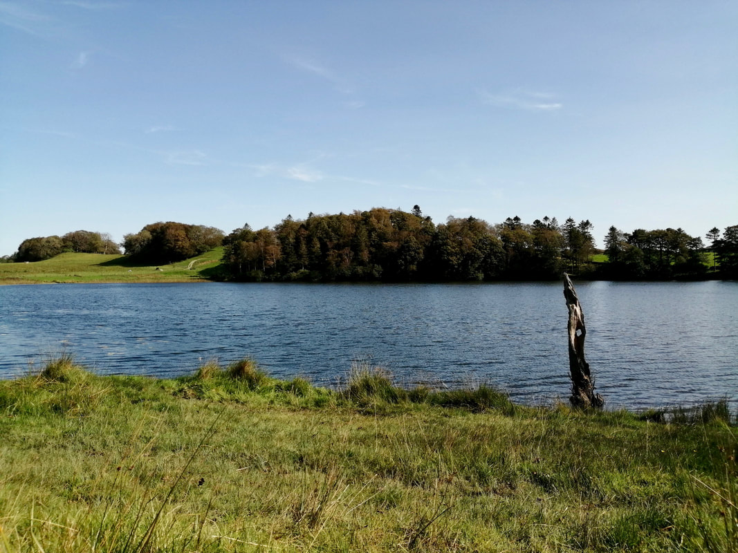
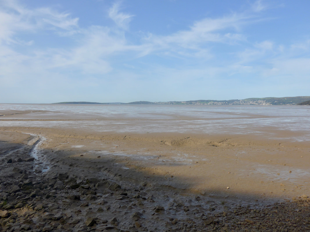
Selker Bay
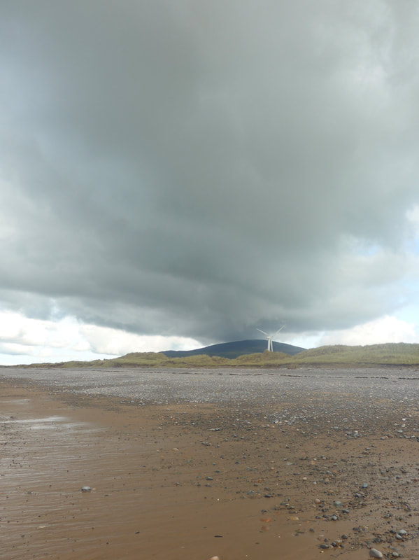
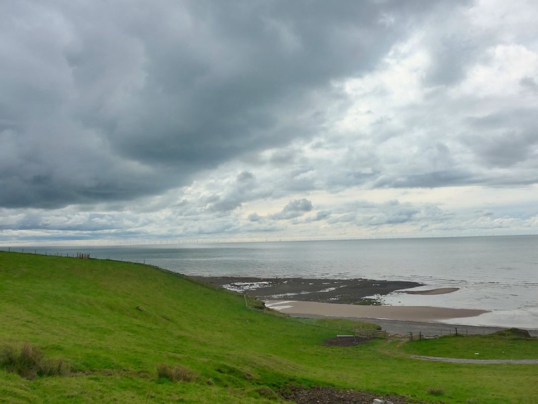
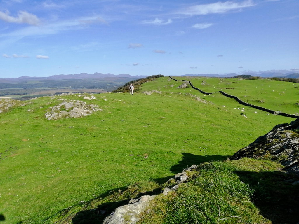
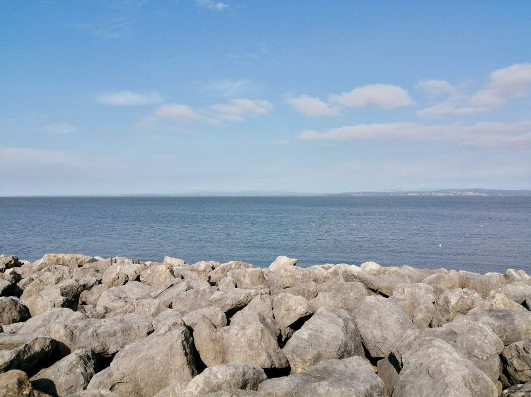
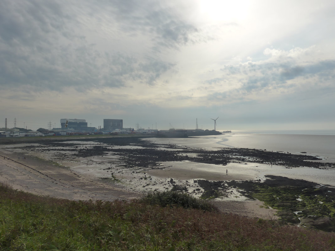
 Eskmeals Range
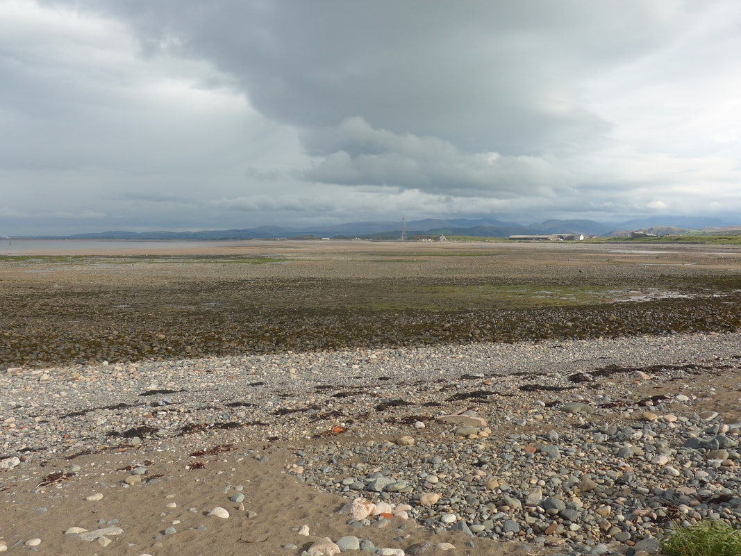
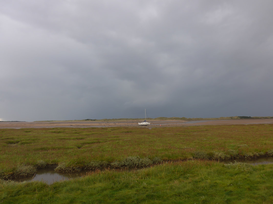
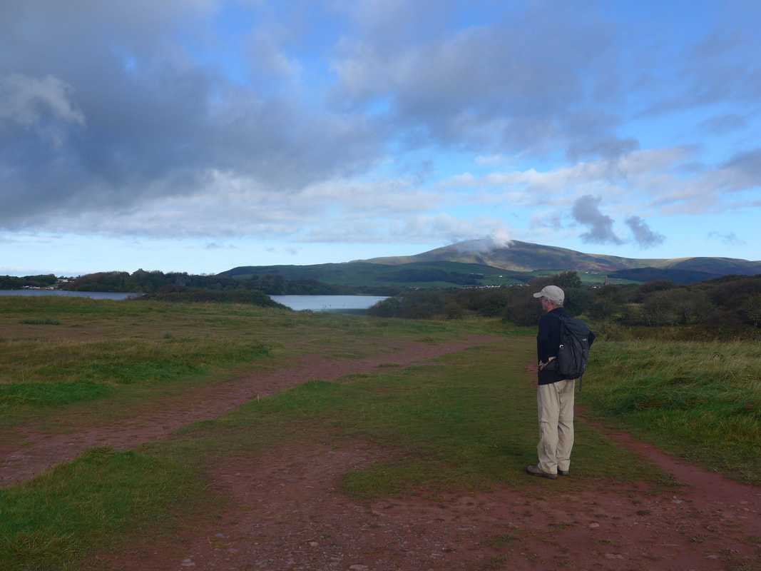
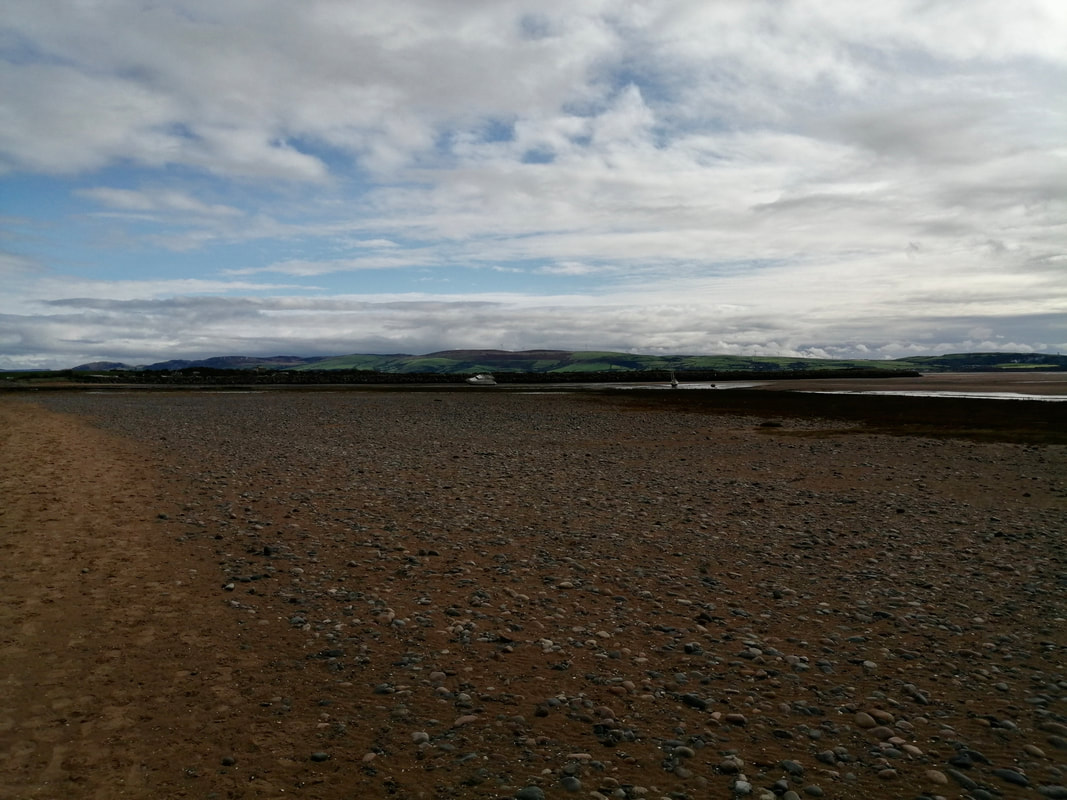
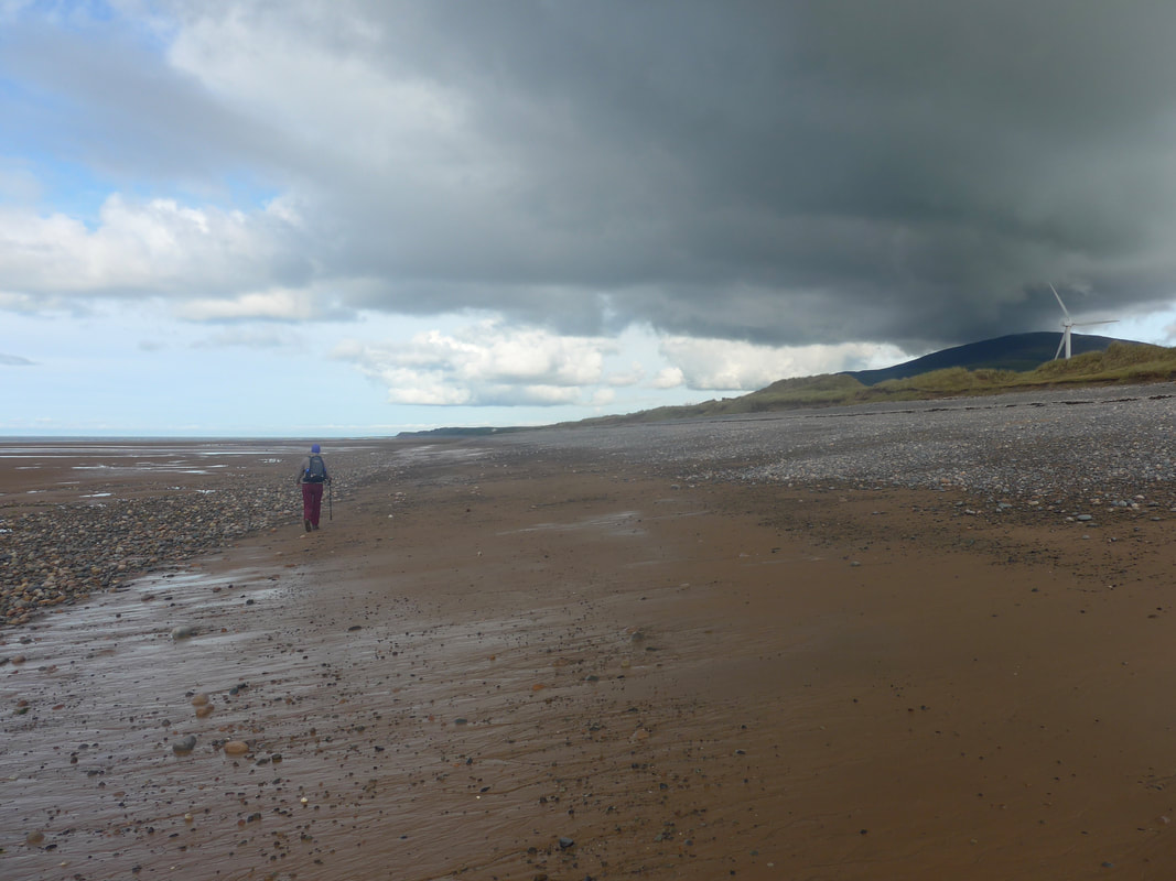
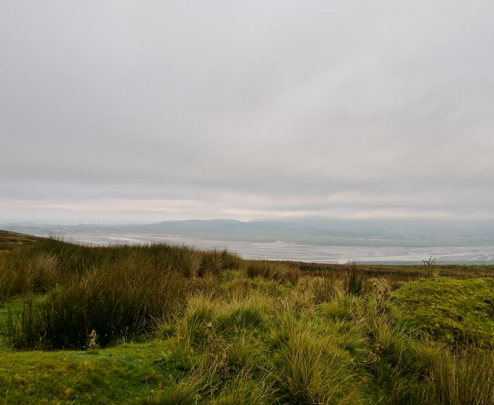
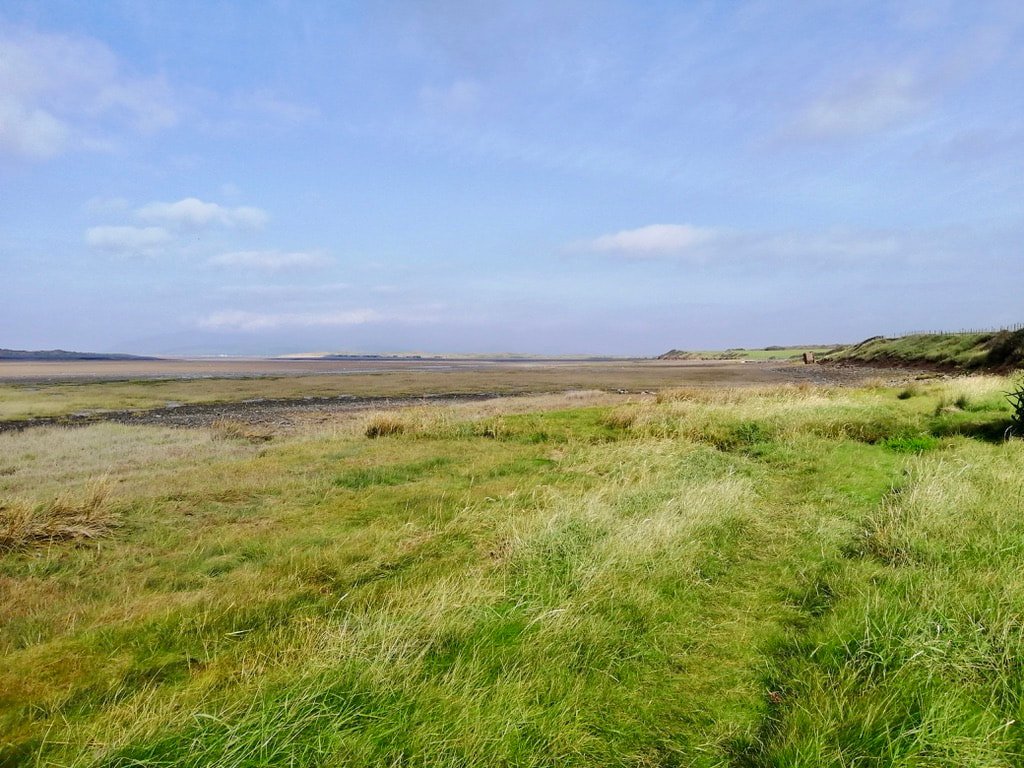
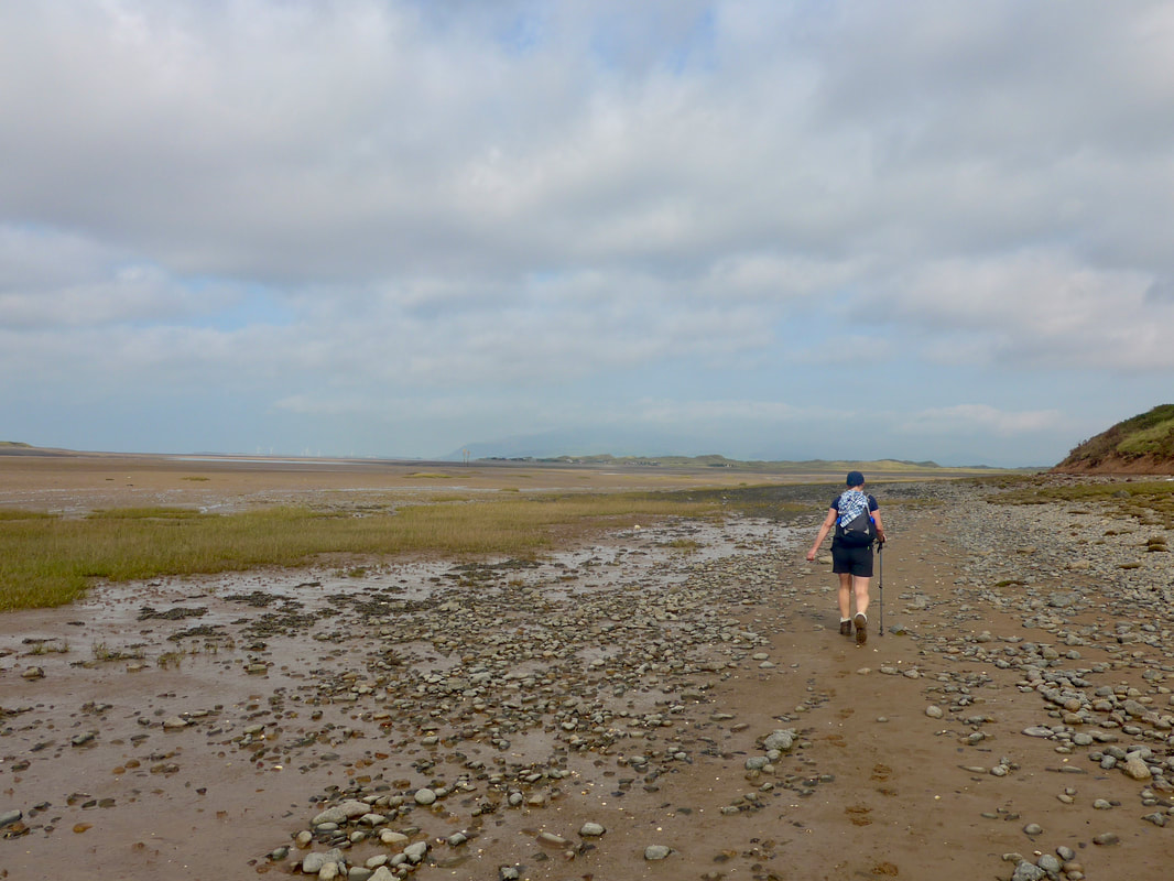
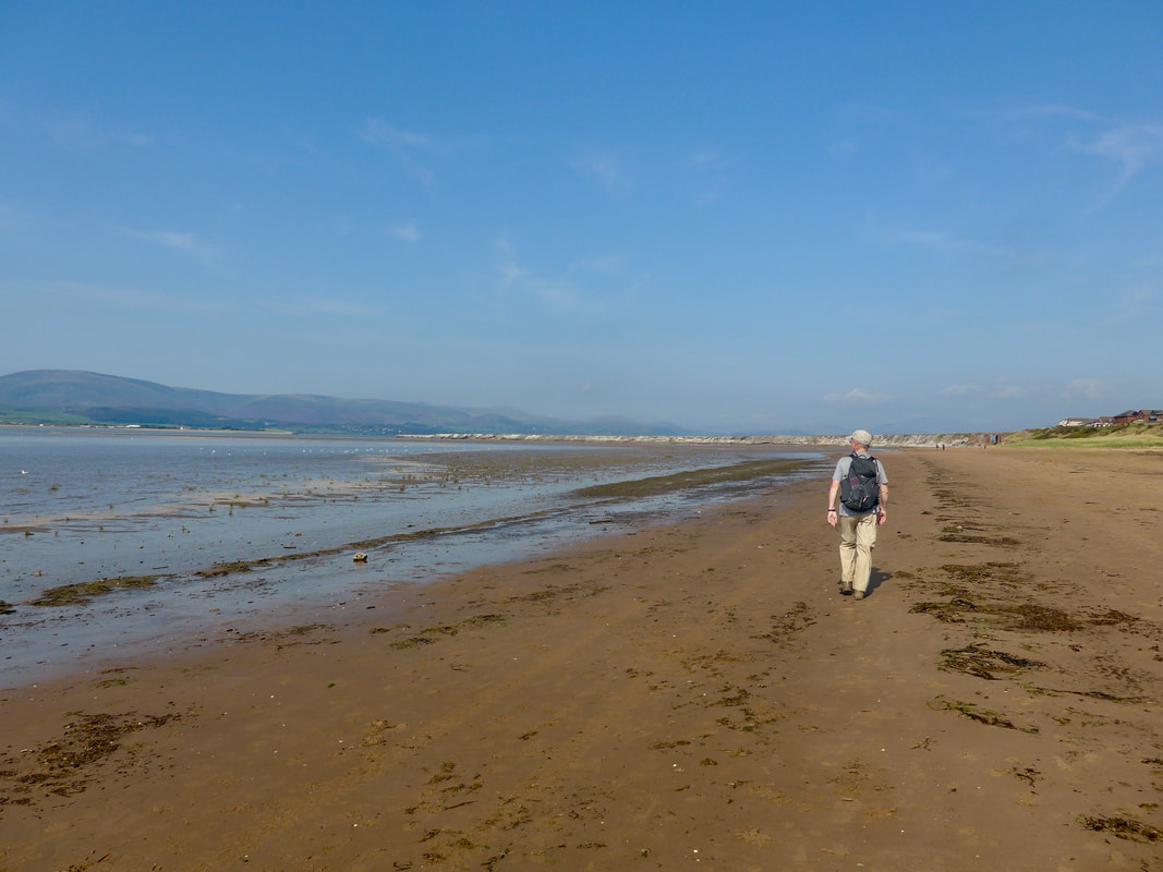
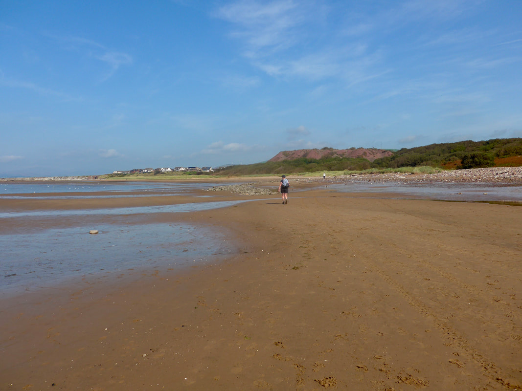
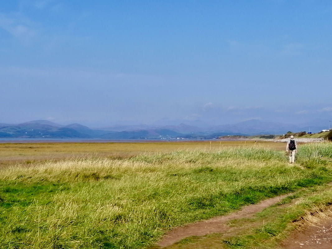
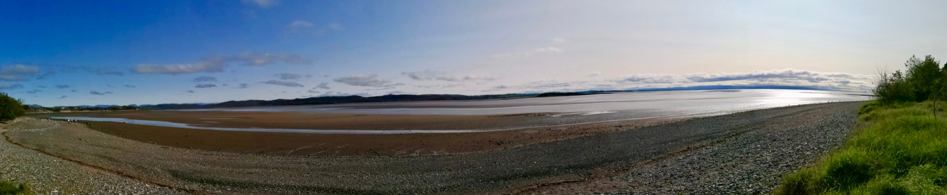
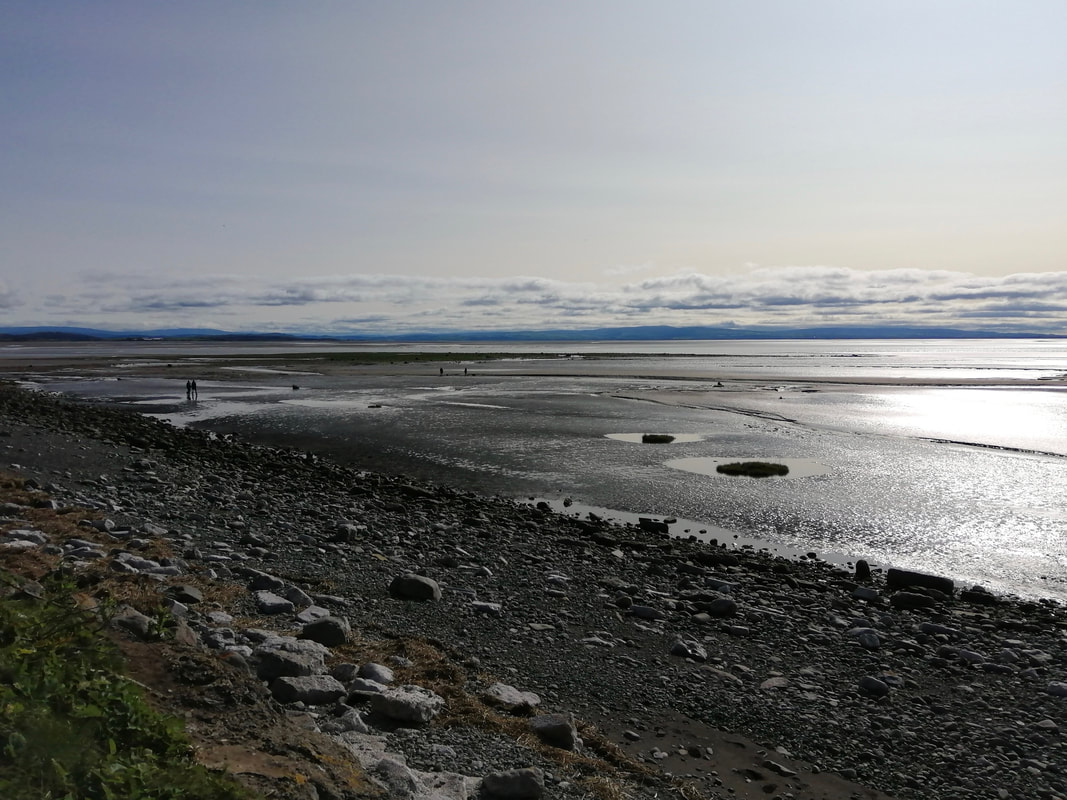
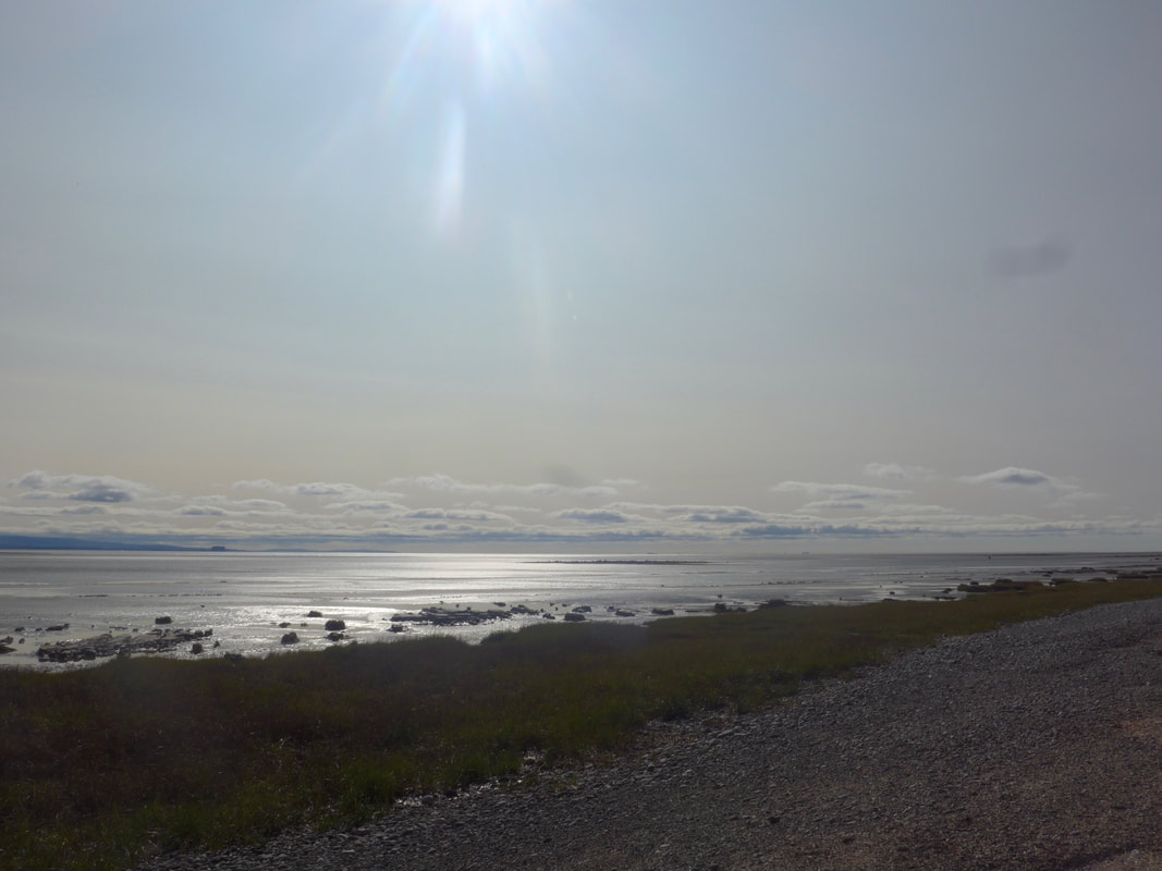
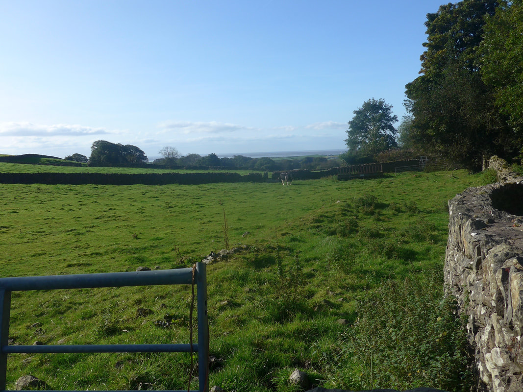
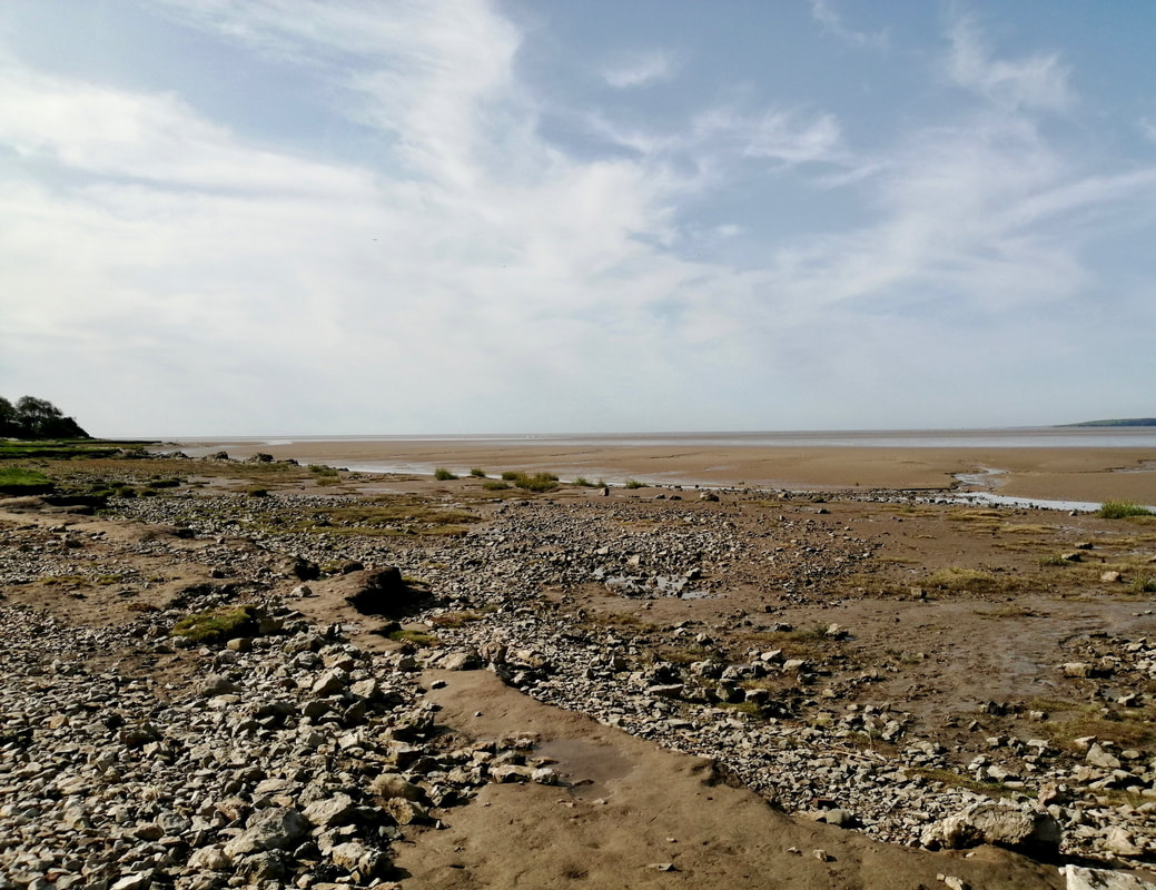
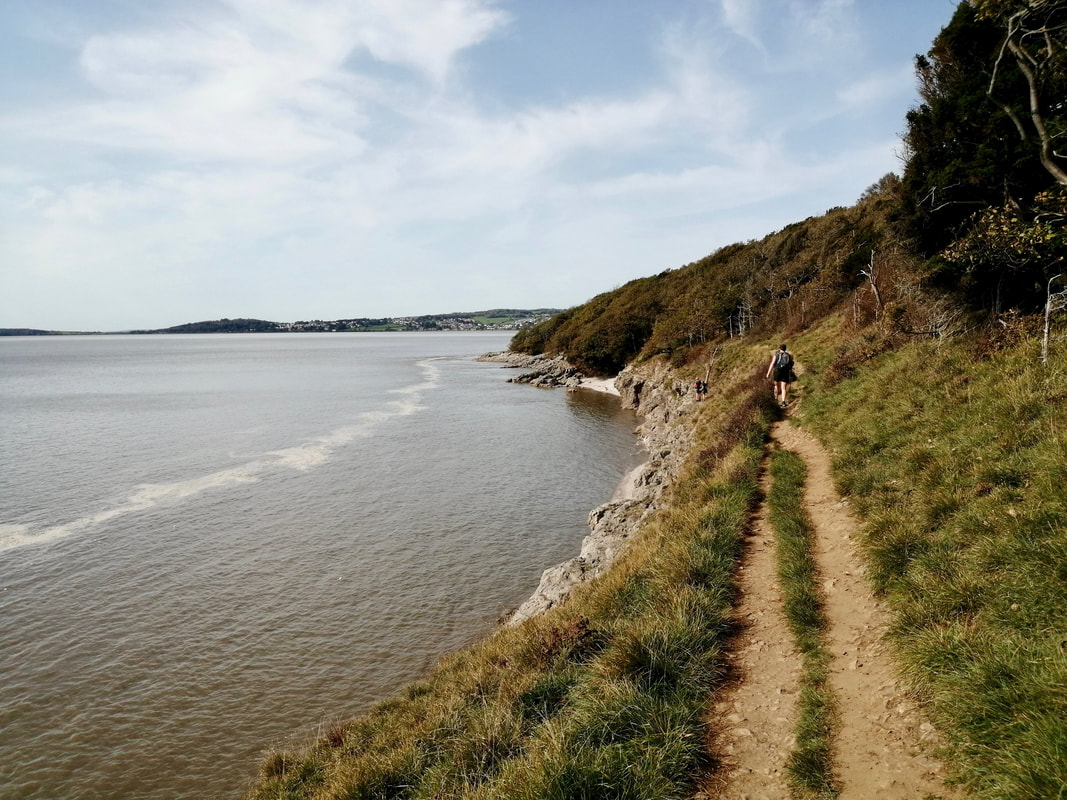
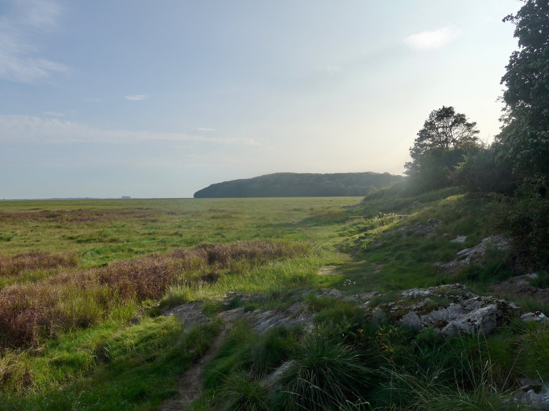
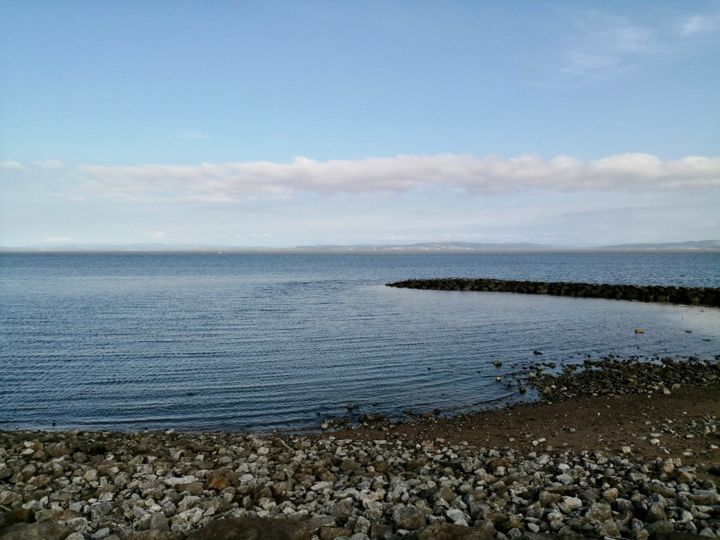
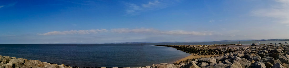
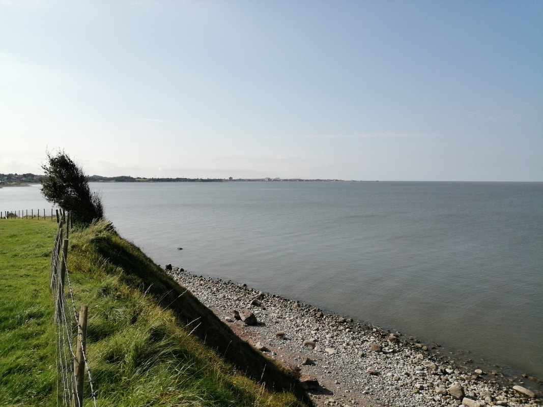
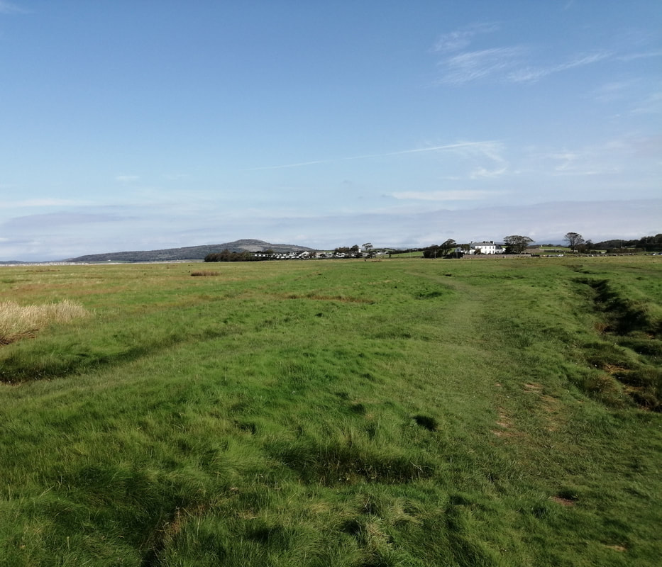
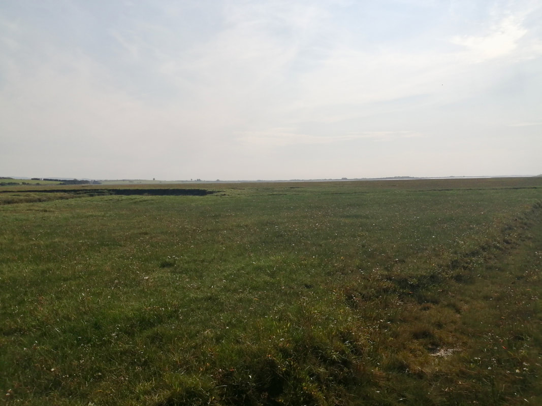
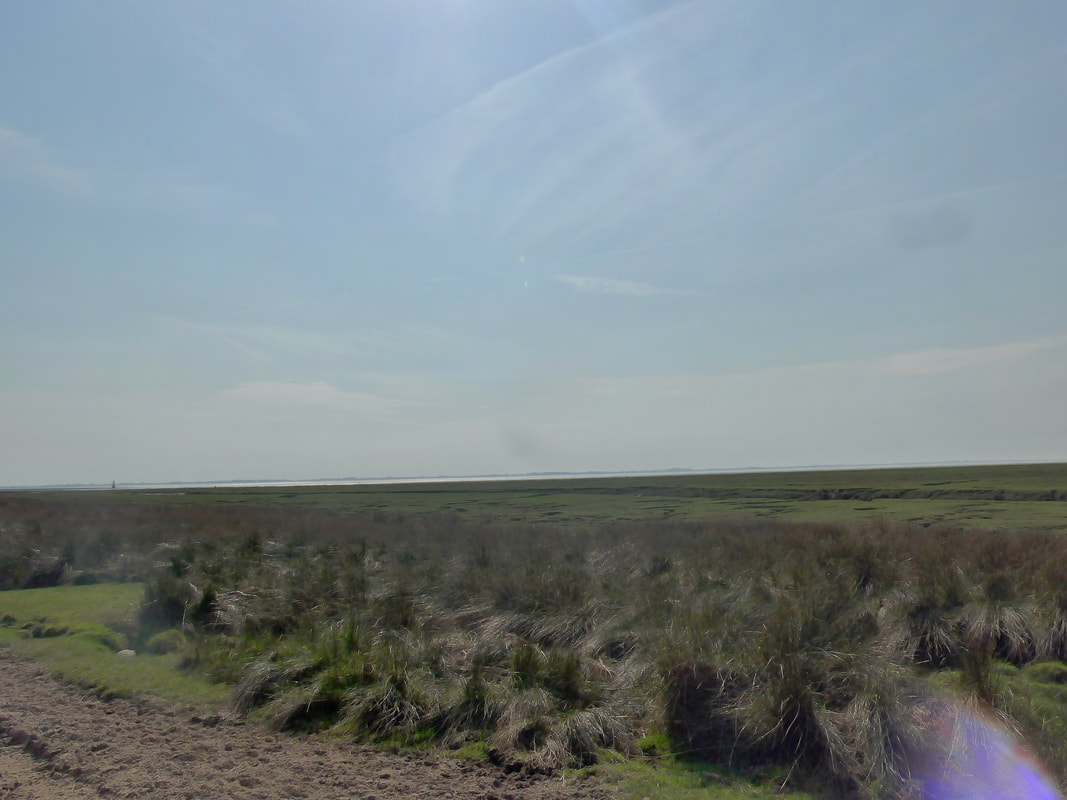
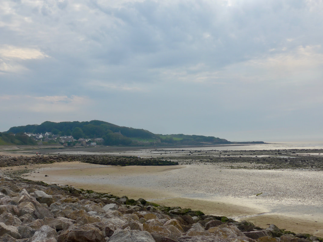
 Rounding Tarn Point and into Tarn Bay we dropped down to walk on the muddy, pebbly beach for the section leading to the defence zone. You are walking here on the edges of the Lake District National Park to your right and, with the Irish Sea on your left. The Isle of Man sits on the horizon directly opposite the range.
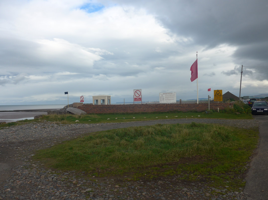
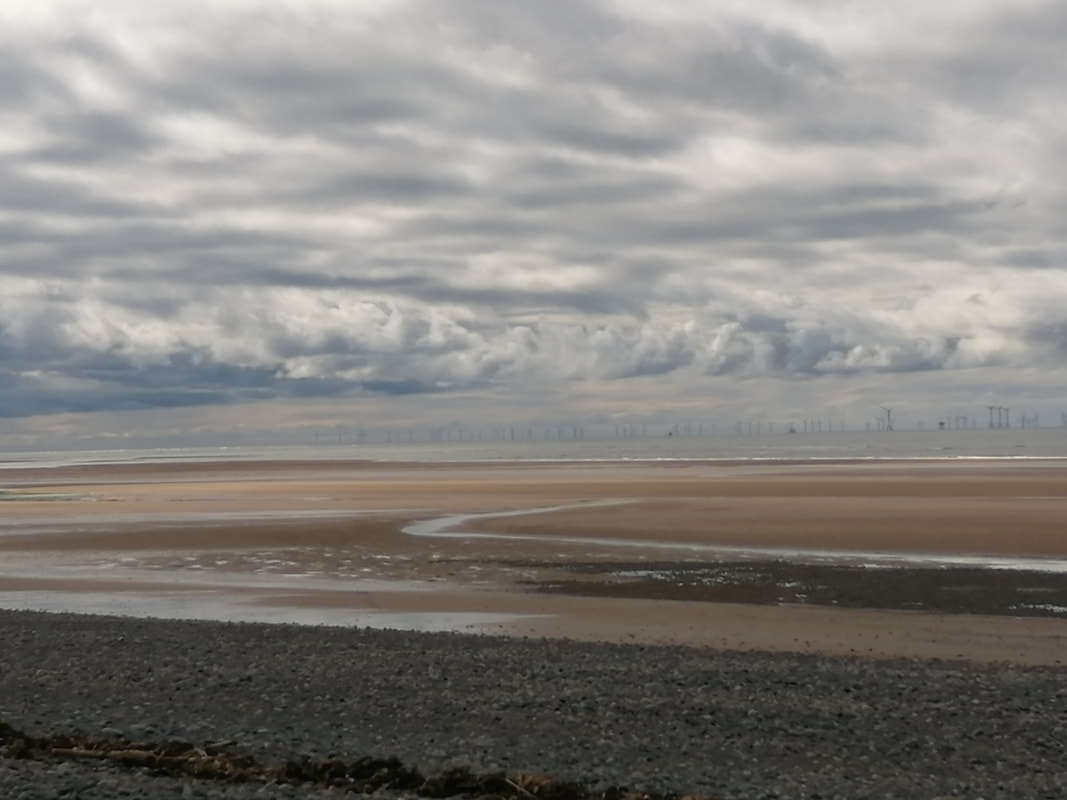
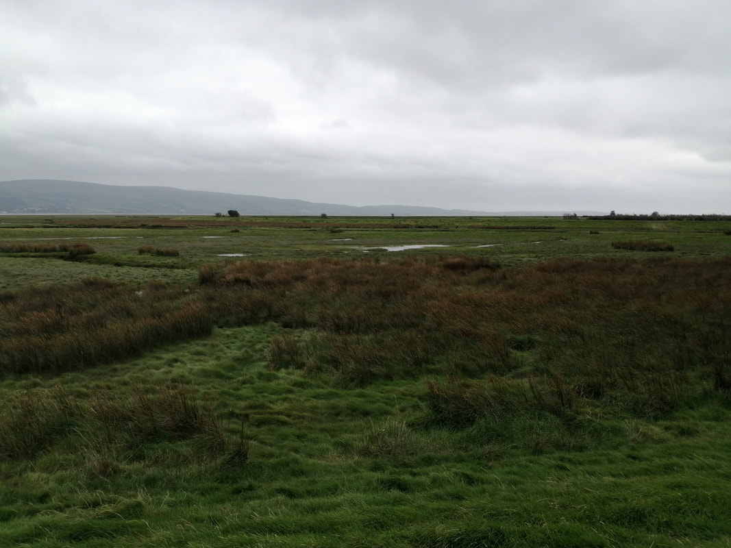
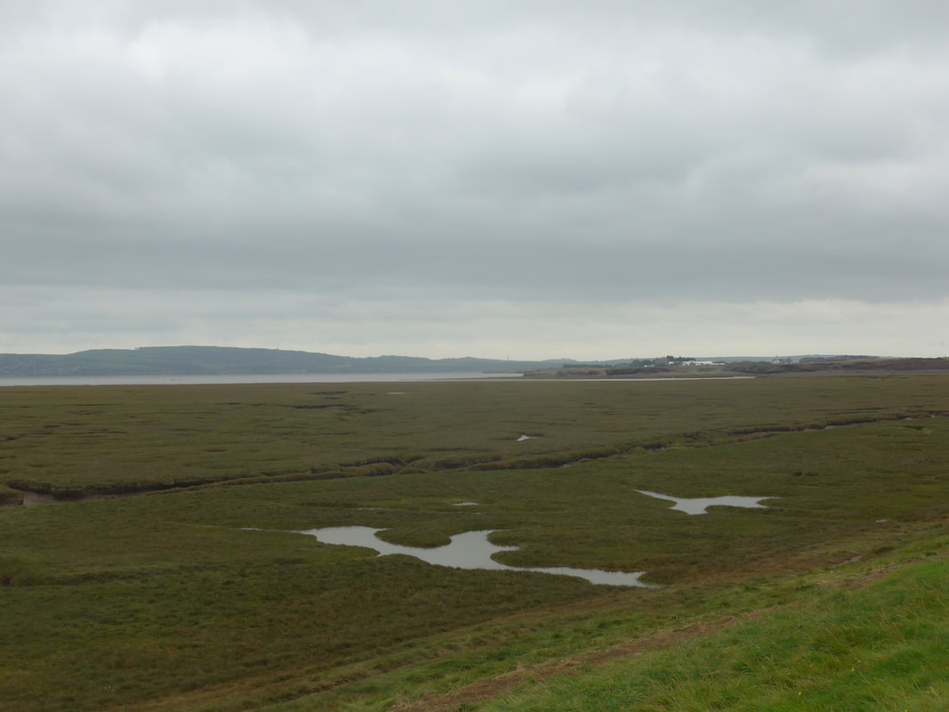
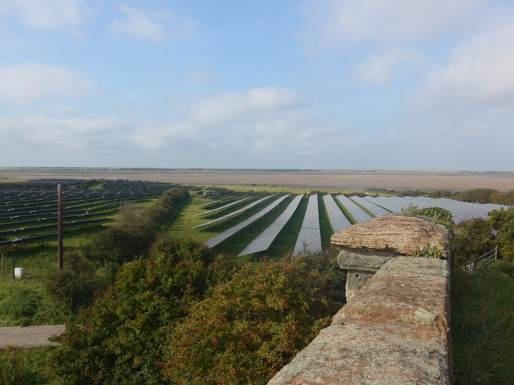
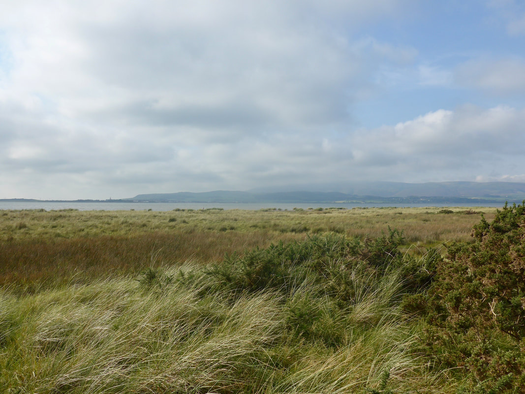
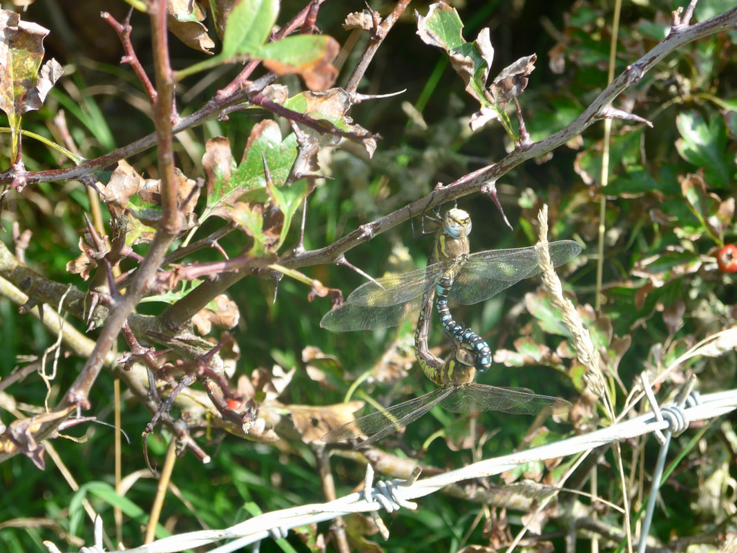
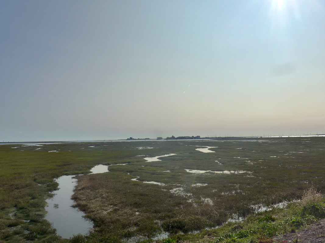
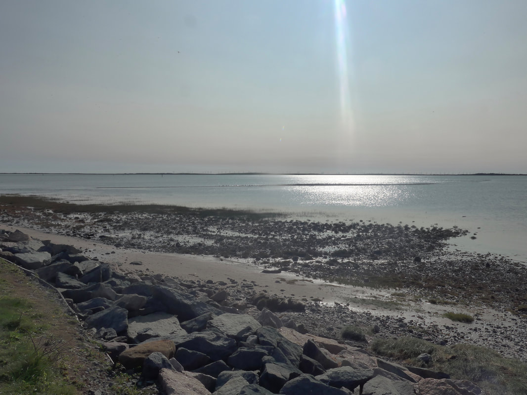
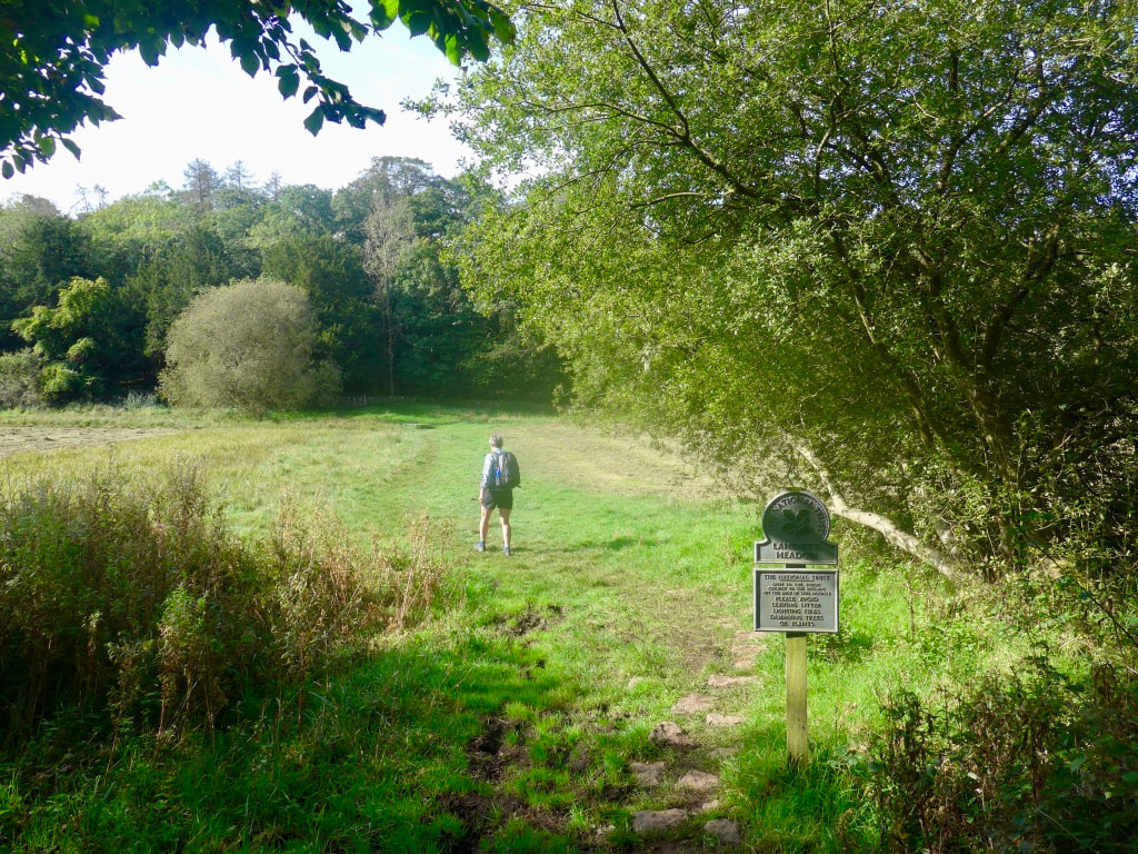
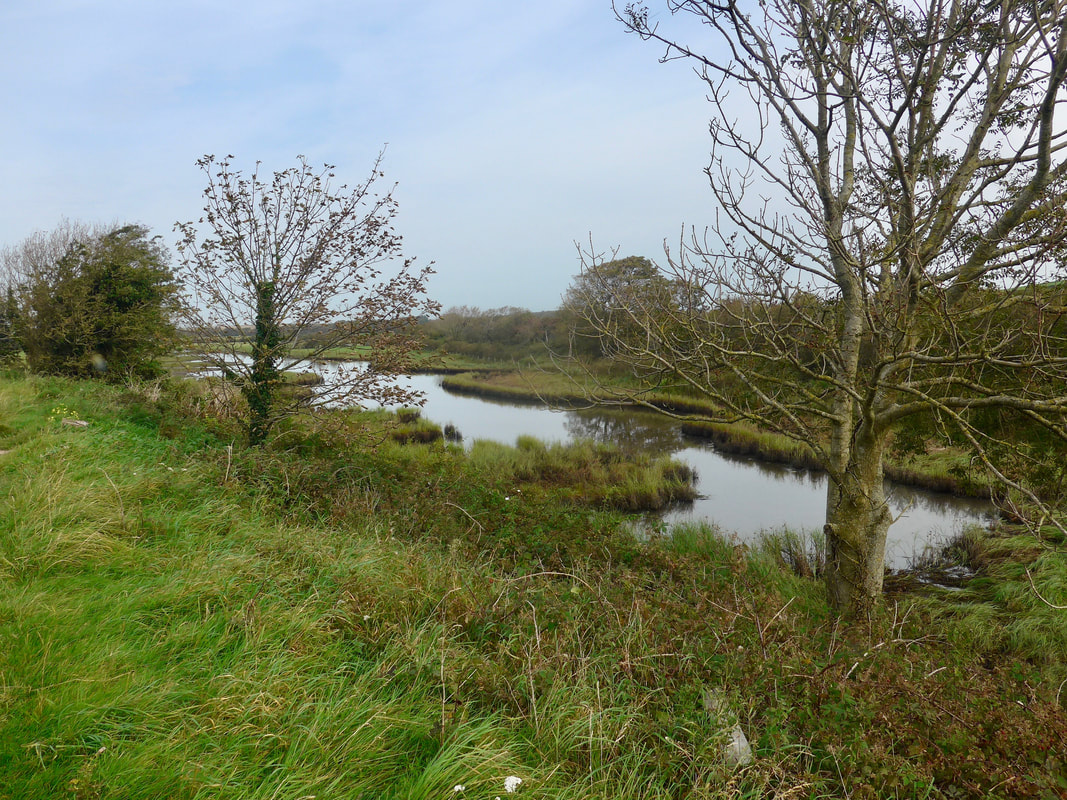
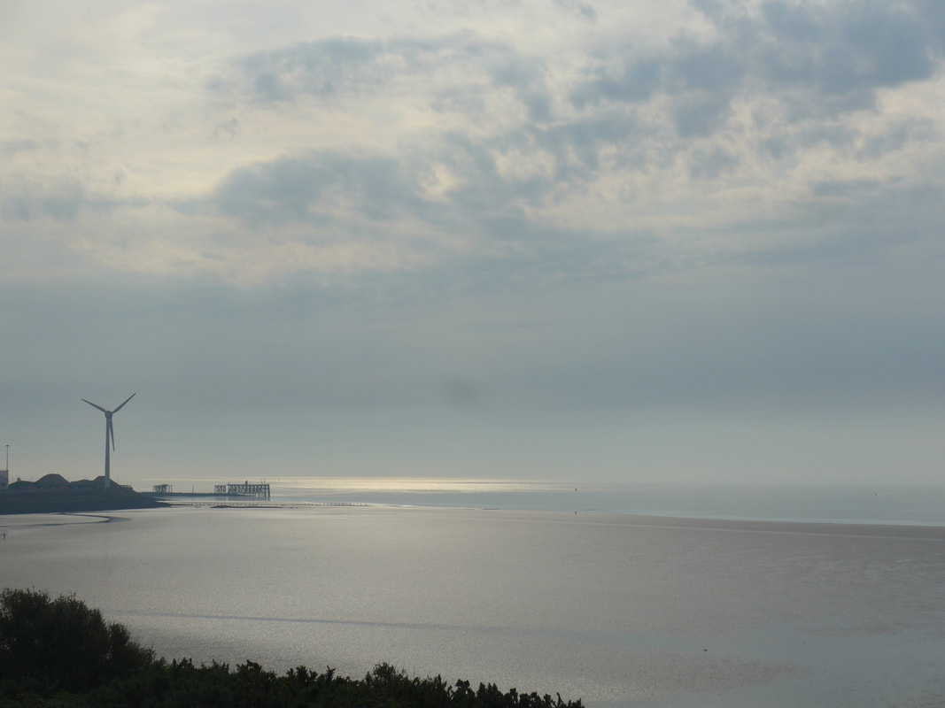
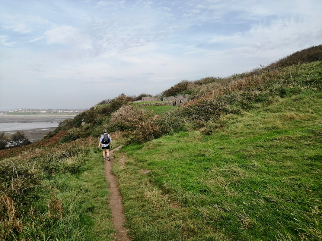
In the far distance in front of us we could see the dark outlines of St Bee's Head. As we approached the edges of the military base (Eskmeals) we were disappointed to see the red flag flying, indicating that there was firing activity on the ranges, meaning we would need to abandon our hope of walking along the front of the beach. It was obvious by now that while we might be walking beneath a huge, black cloud other areas were enjoying a wee bit more sunshine than we were. On our left as we took to the road, on the other side of the range, is the southern end of the Driggs Nature Reserve, which contains the largest dune system in Cumbria. It is a major centre for breeding birds and home to natterjack toads and newts.
In the far distance in front of us we could see the dark outlines of St Bee's Head. As we approached the edges of the military base (Eskmeals) we were disappointed to see the red flag flying, indicating that there was firing activity on the ranges, meaning we would need to abandon our hope of walking along the front of the beach. It was obvious by now that while we might be walking beneath a huge, black cloud other areas were enjoying a wee bit more sunshine than we were. On our left as we took to the road, on the other side of the range, is the southern end of the Driggs Nature Reserve, which contains the largest dune system in Cumbria. It is a major centre for breeding birds and home to natterjack toads and newts.
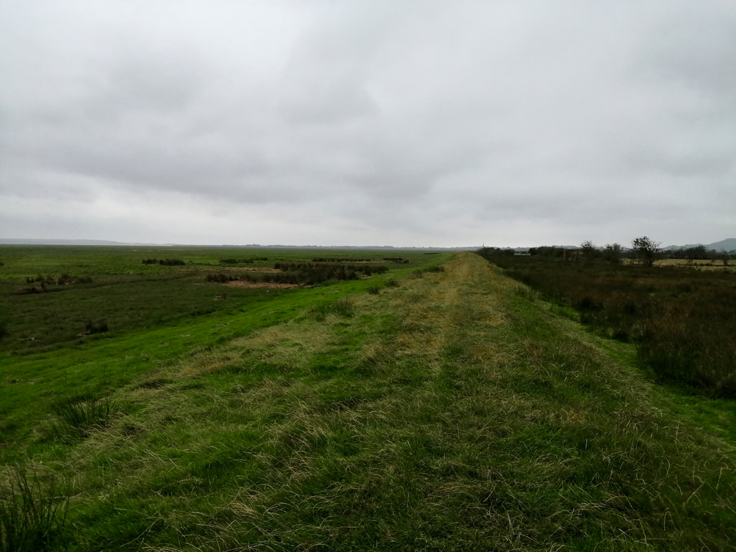
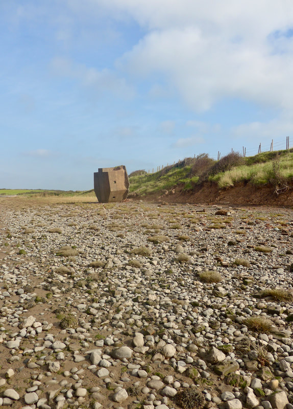
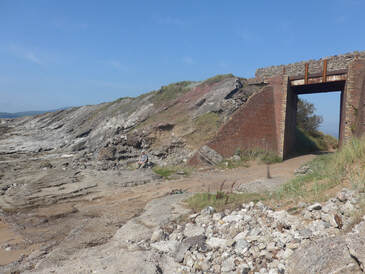
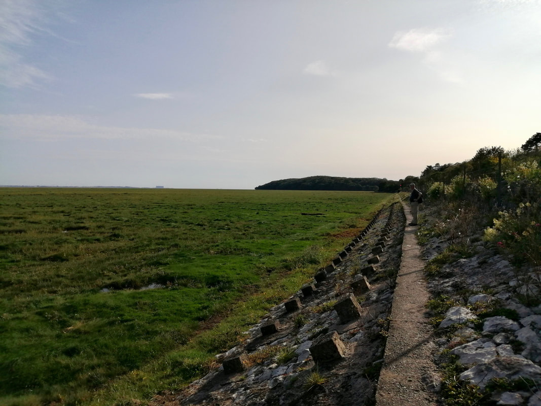
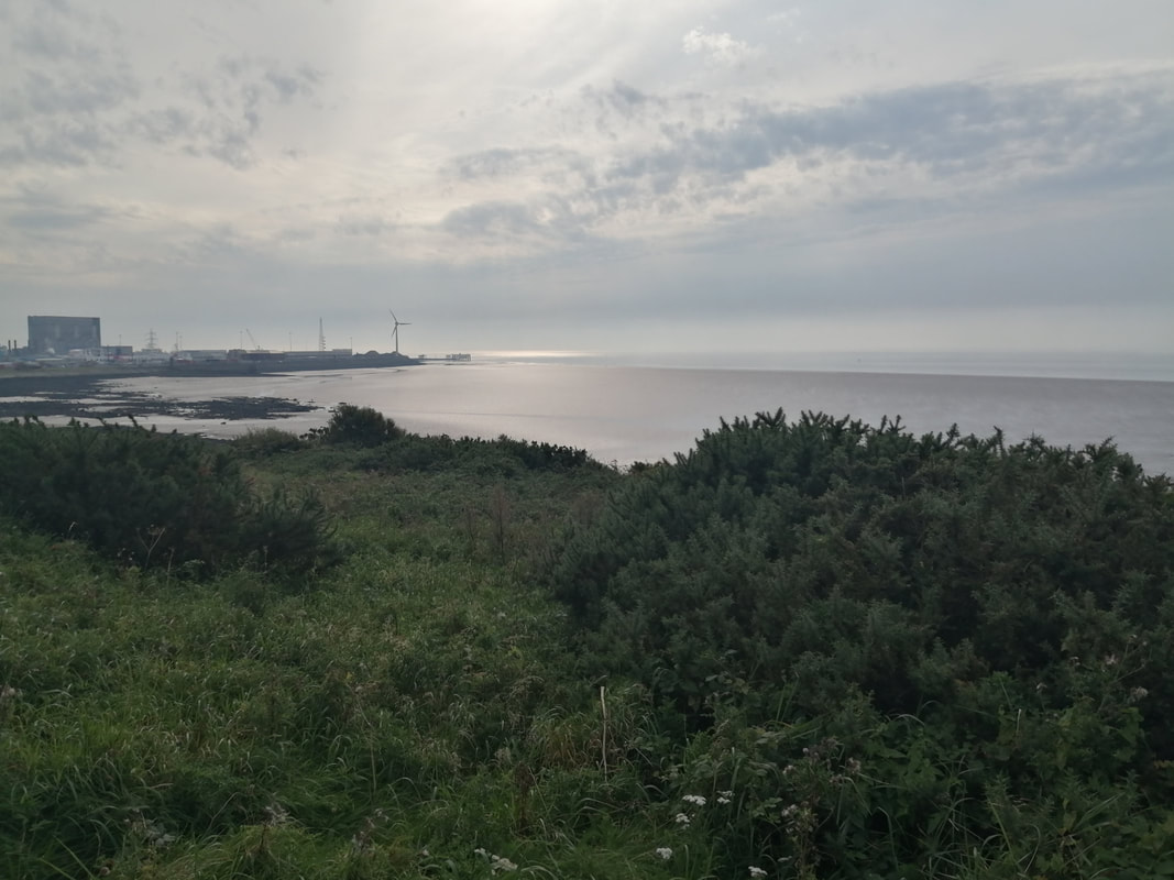
Rounding the MoD Base

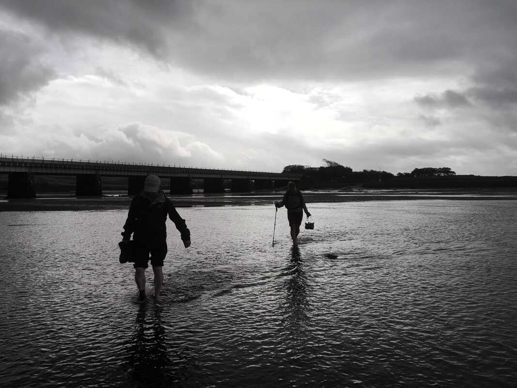
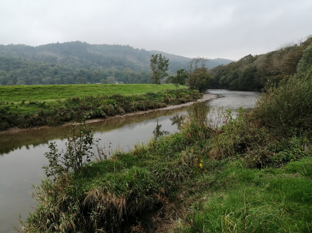
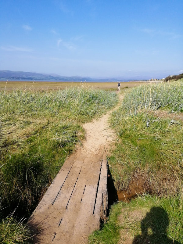
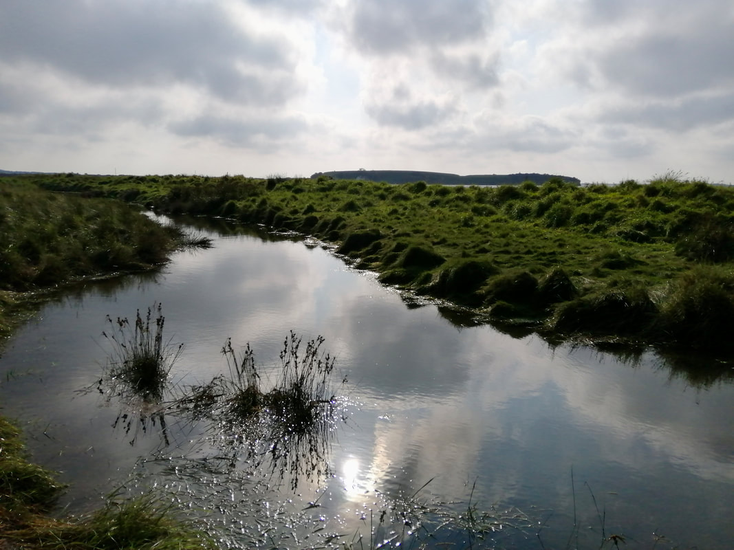
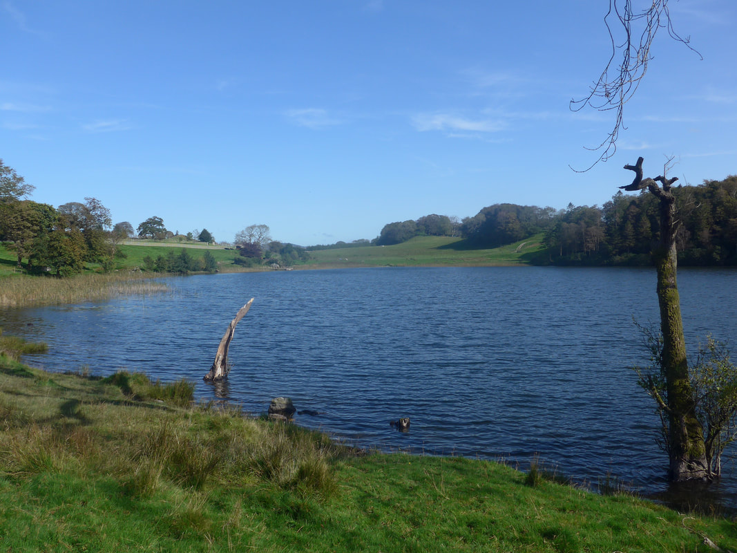
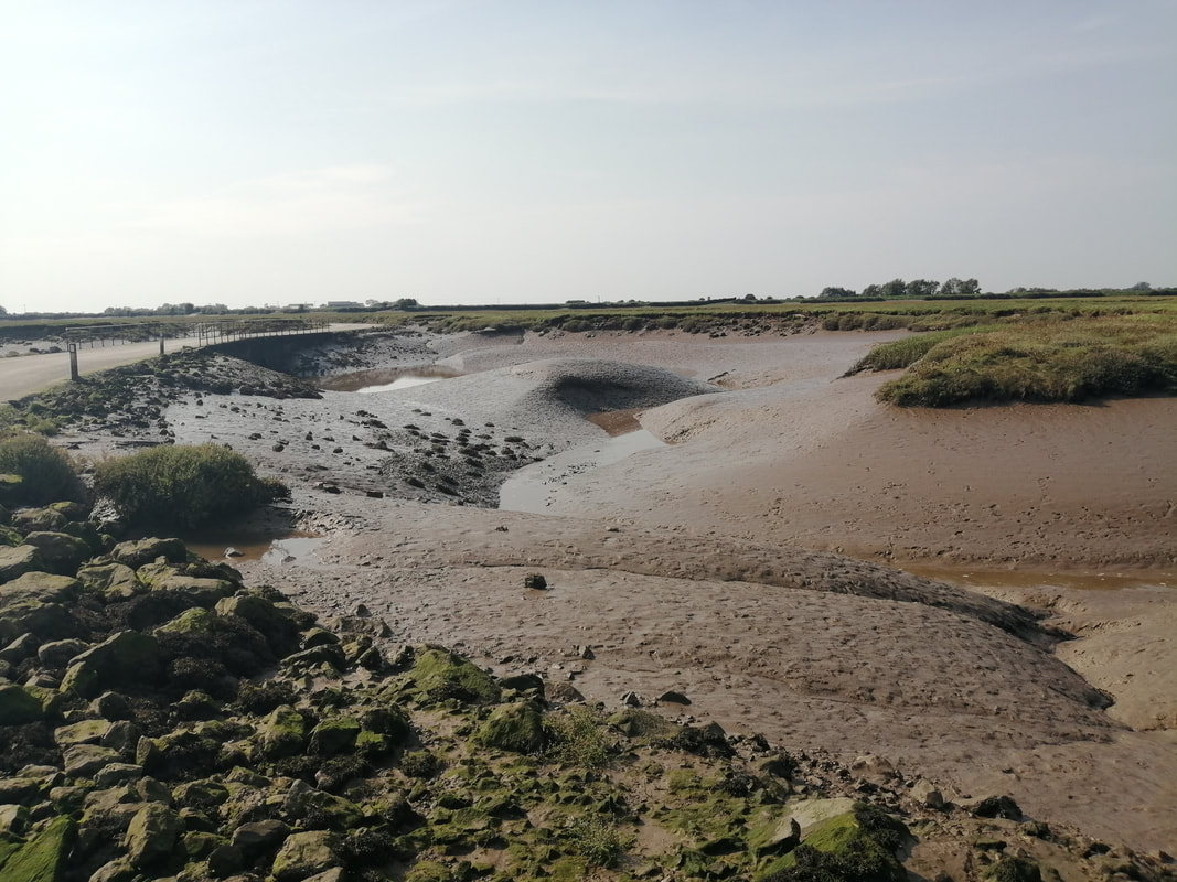
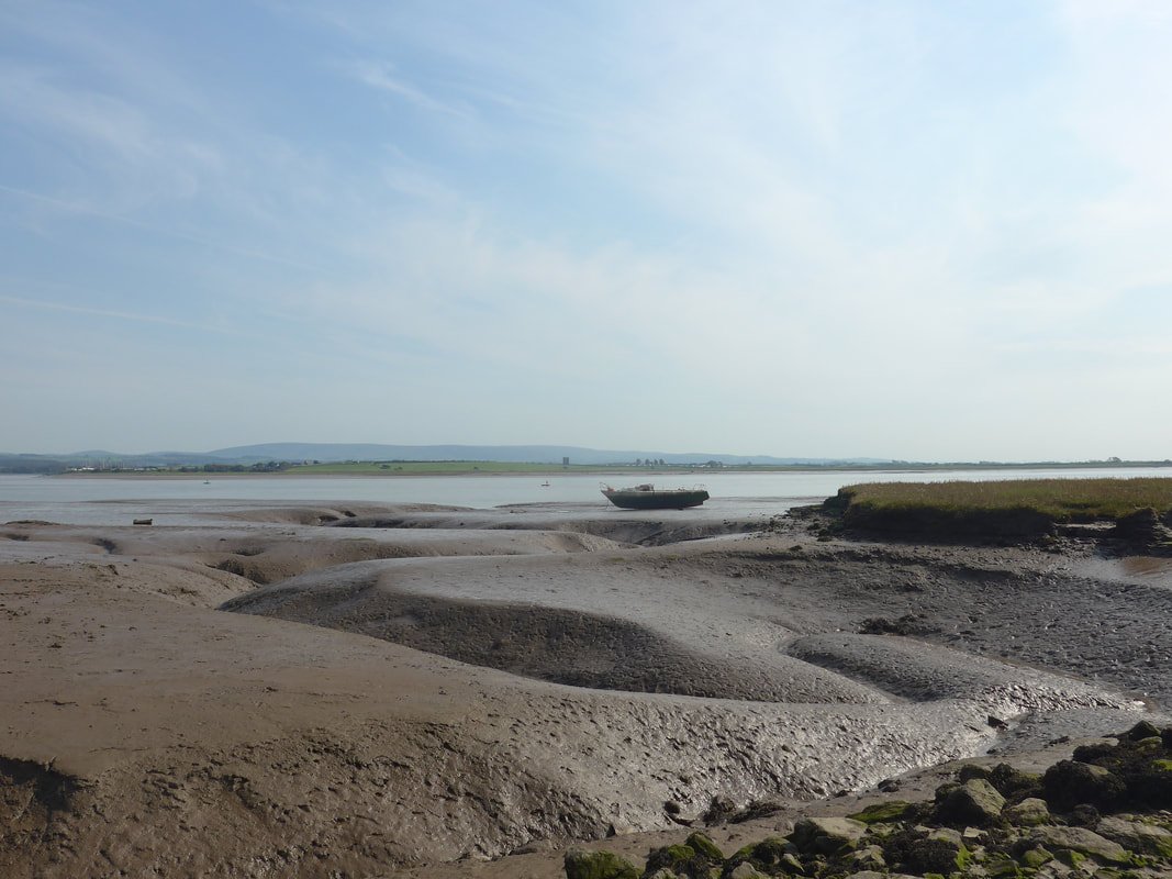
The tide was just on the turn when arrived at the River Esk. When it is low like that it is more like three or four different little streams than one broad river. You can see that the water level in the nearer streams was still quite low, but it was difficult to make a judgement about the furthest stream without taking the plunge. Off with the boots and socks and onward McDuff!
Apart from being very cold and stoney underfoot, it was only on the final part where the water came over the ankles and reached about knee height. It was the cold that got to you. By the time we reached the far bank I could not feel my feet or lower legs. The exit was over jagged stones and mud which we had to cross before reaching land dry enough to sit down and put the boots back on. As we dried off the feet the rain came on.
Apart from being very cold and stoney underfoot, it was only on the final part where the water came over the ankles and reached about knee height. It was the cold that got to you. By the time we reached the far bank I could not feel my feet or lower legs. The exit was over jagged stones and mud which we had to cross before reaching land dry enough to sit down and put the boots back on. As we dried off the feet the rain came on.
Crossing the River Esk


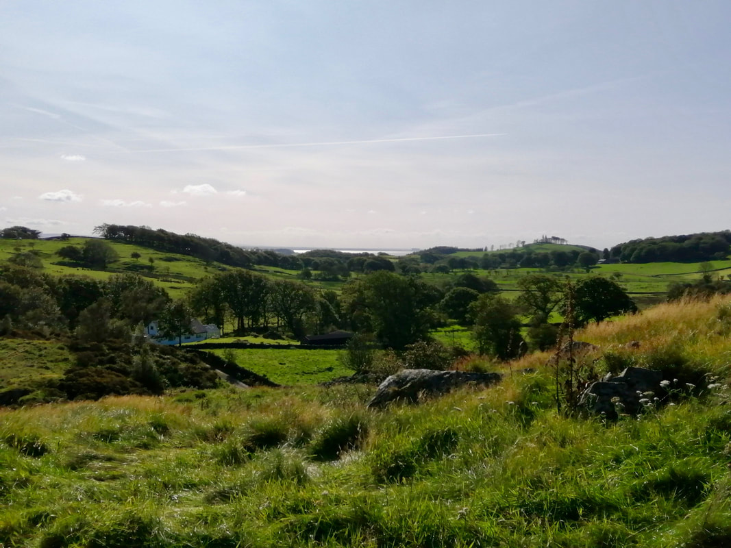
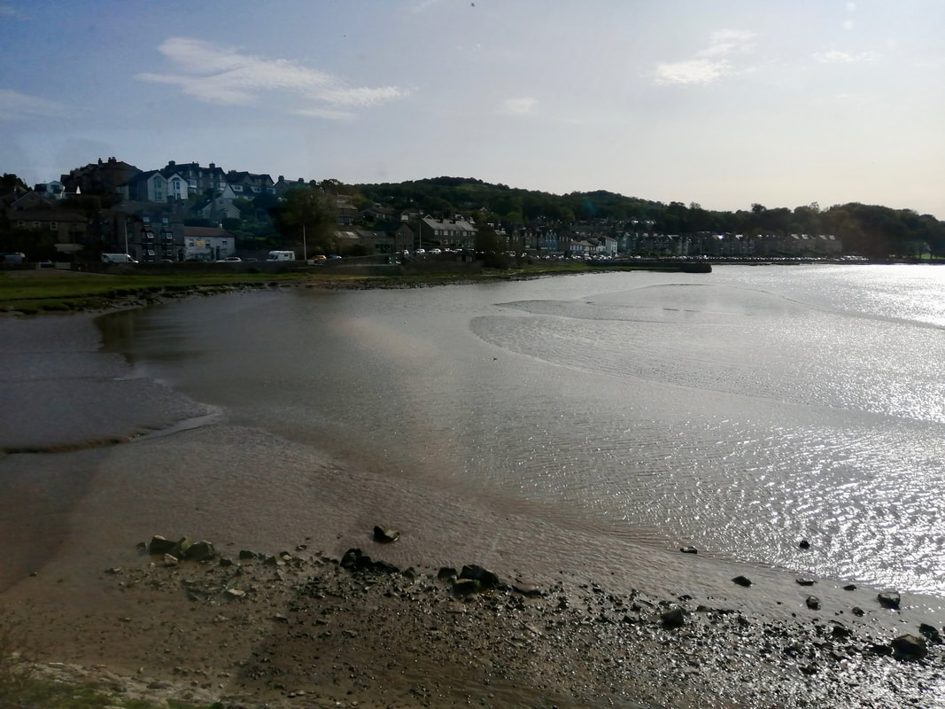
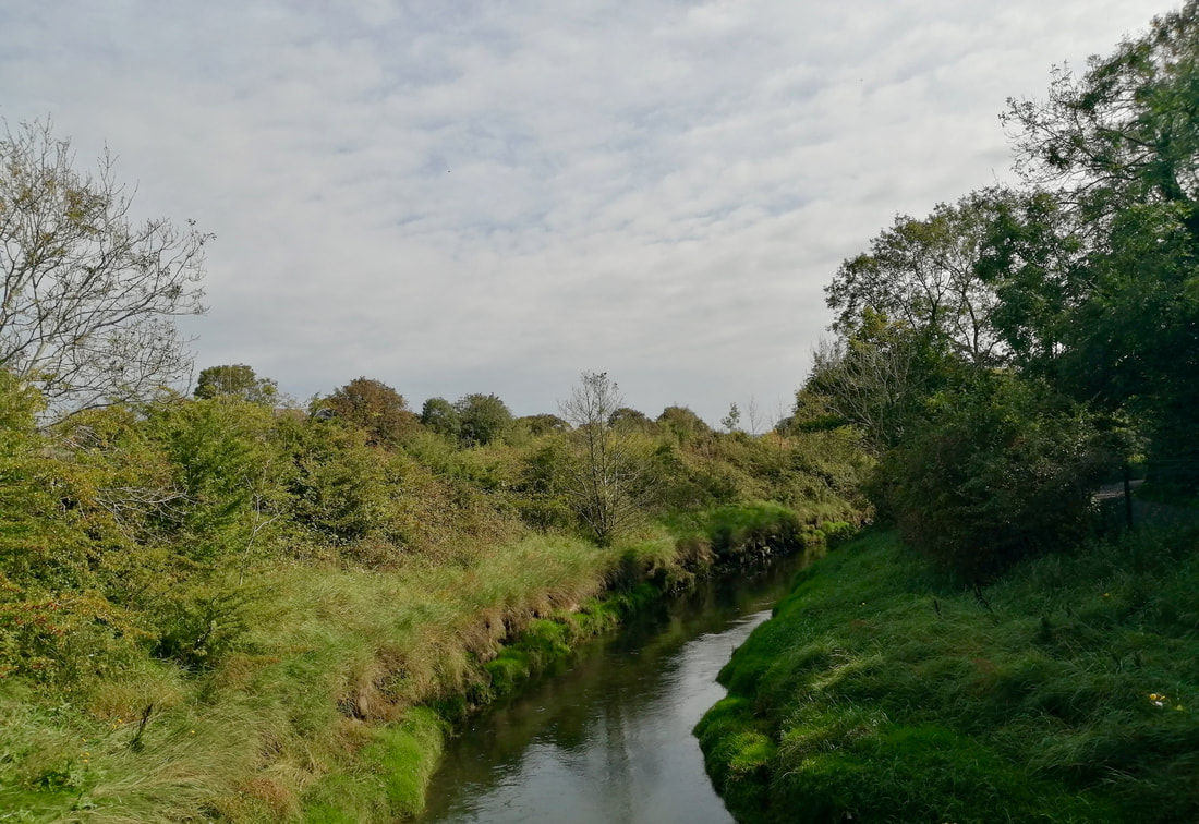
 Approaching Ravenglass
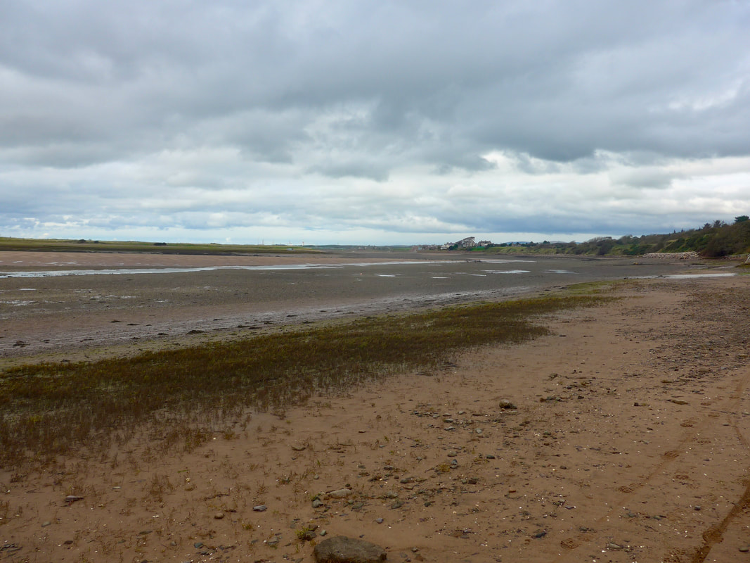
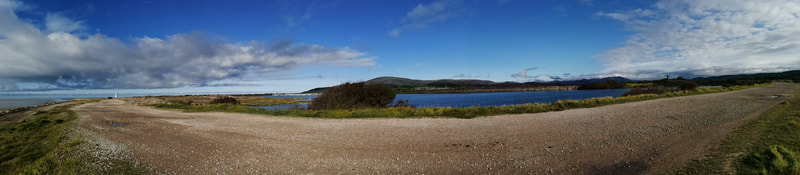
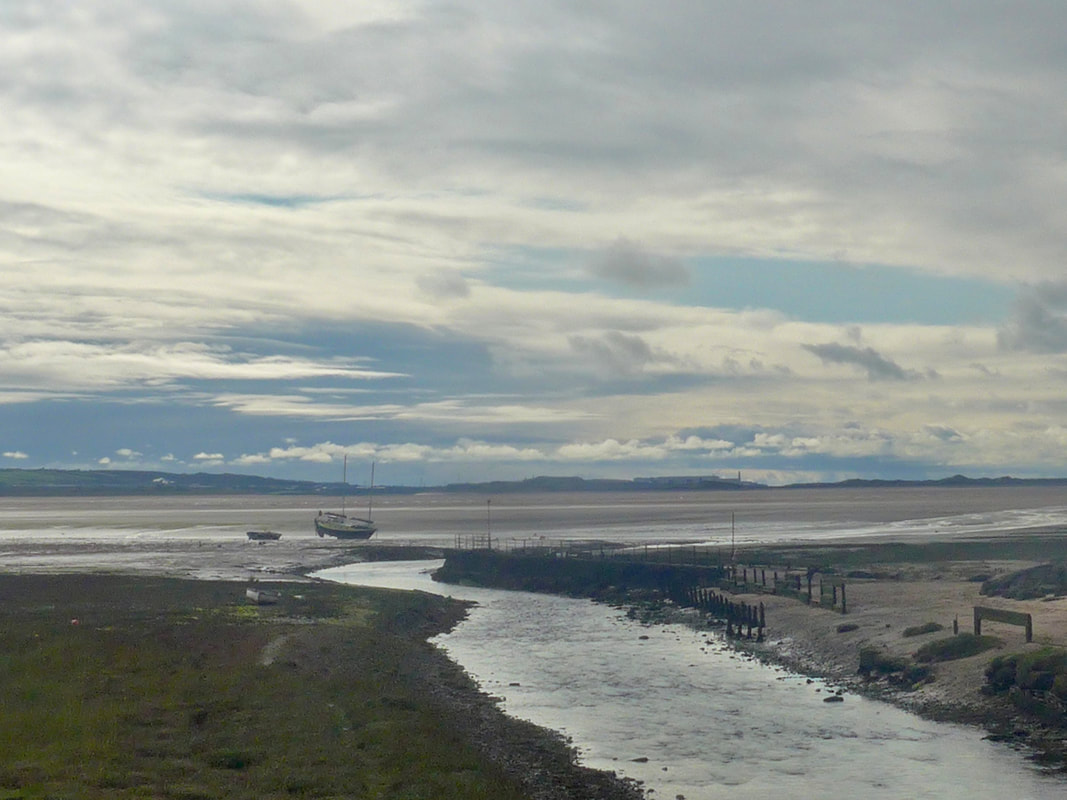
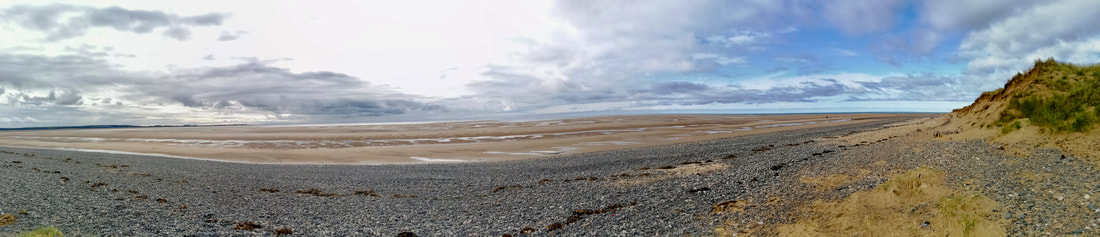
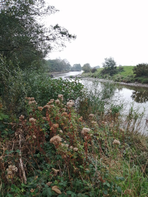
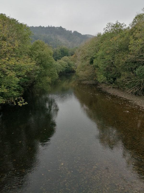
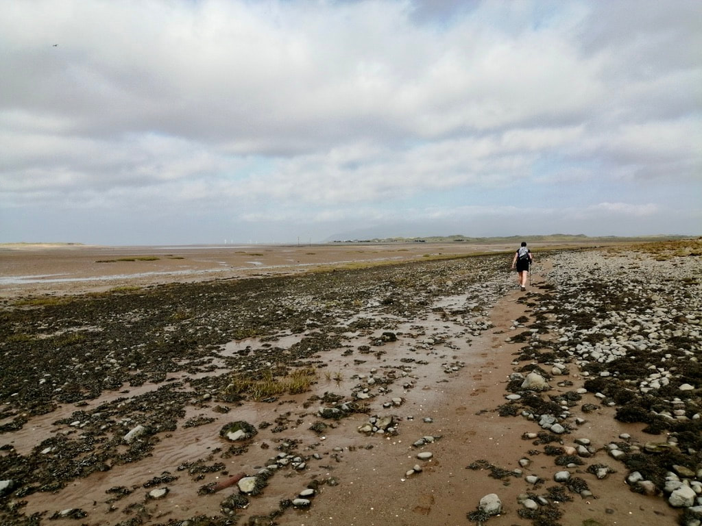
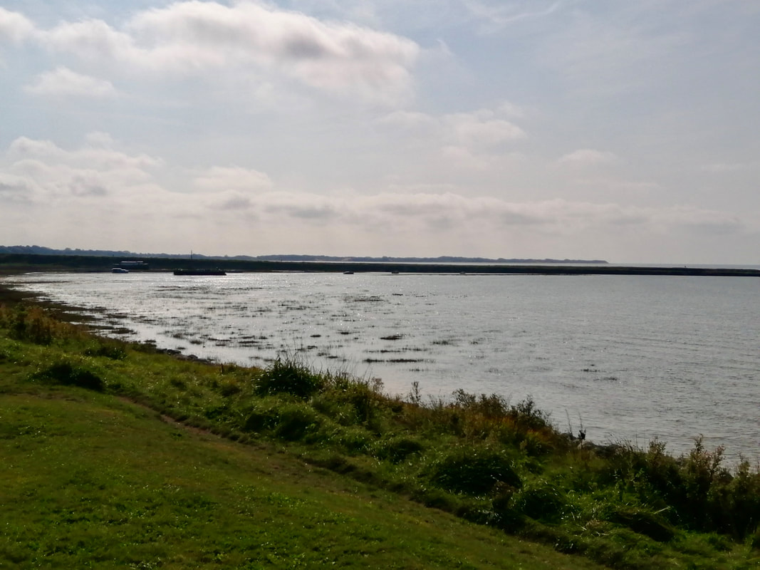
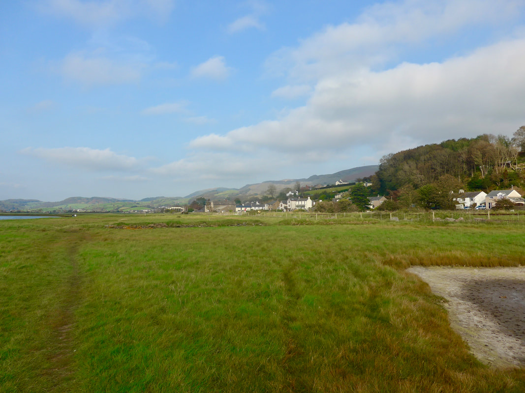
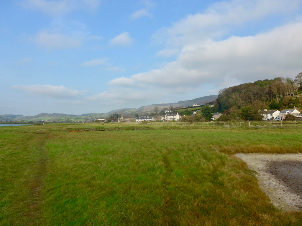
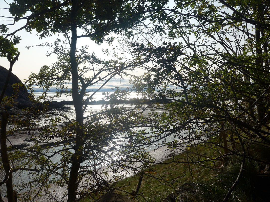
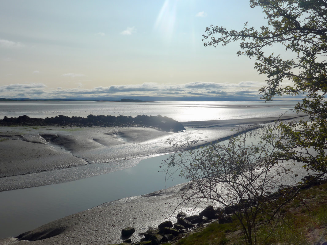
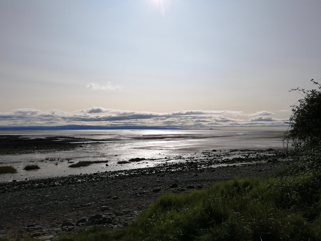
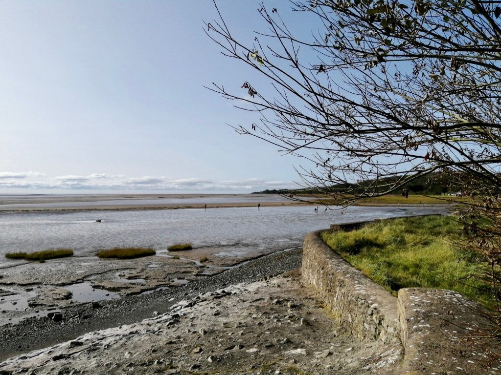
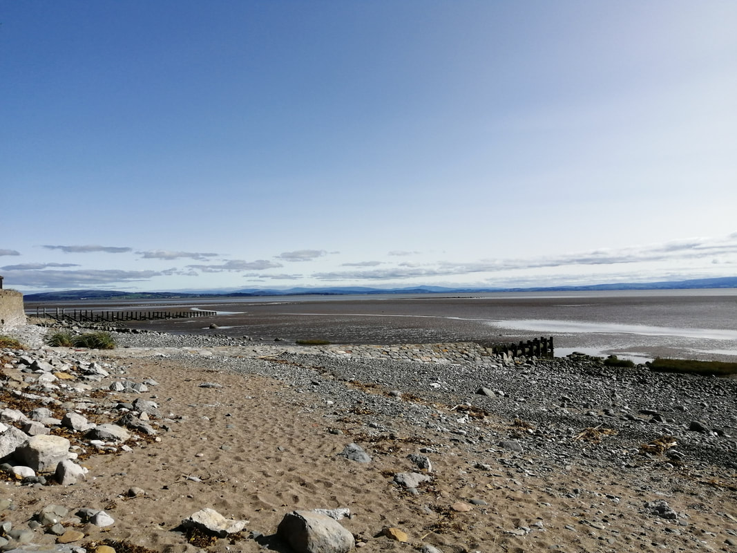
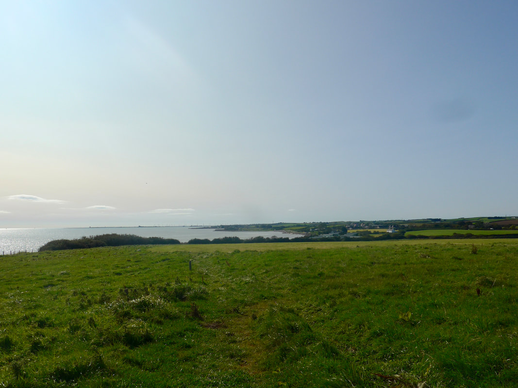
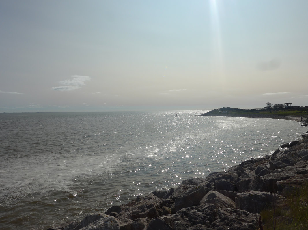
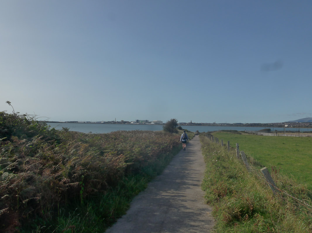
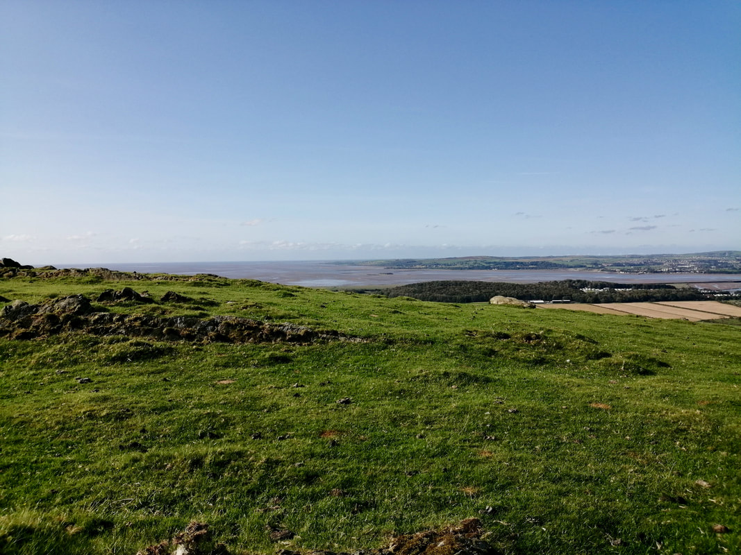
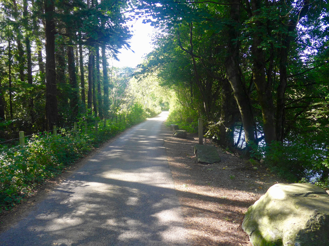
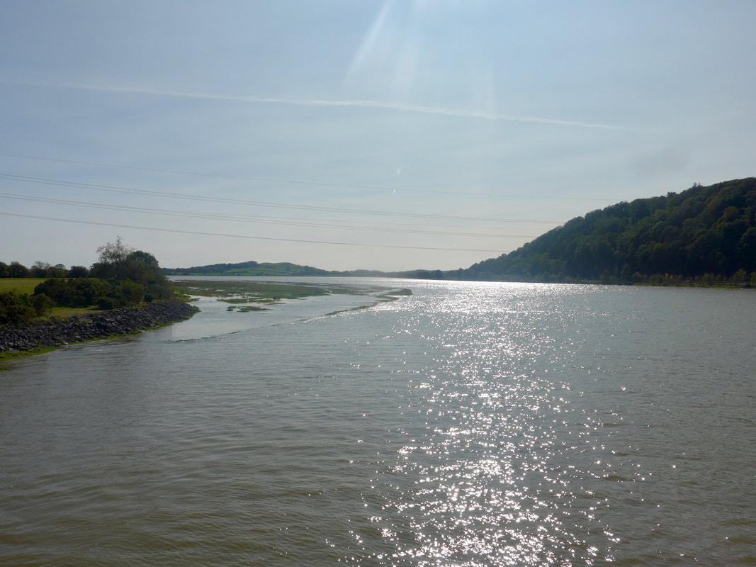
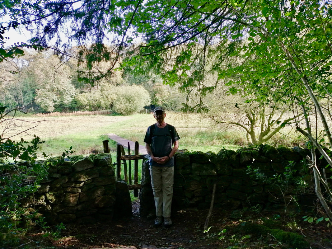
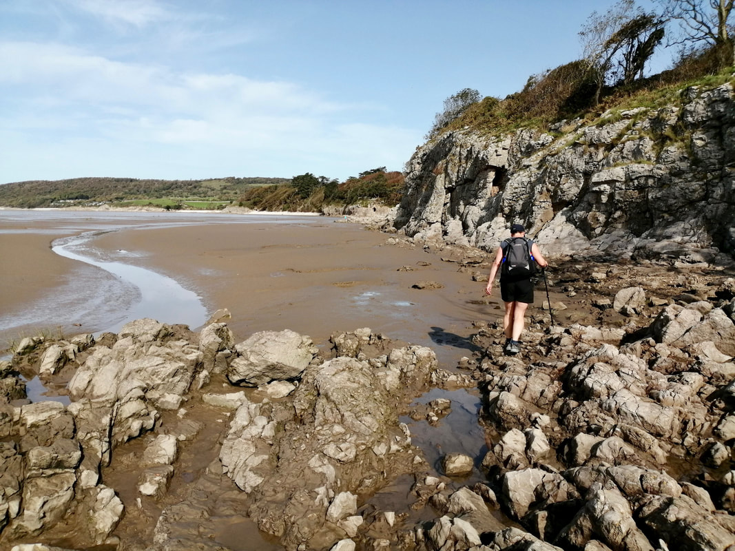
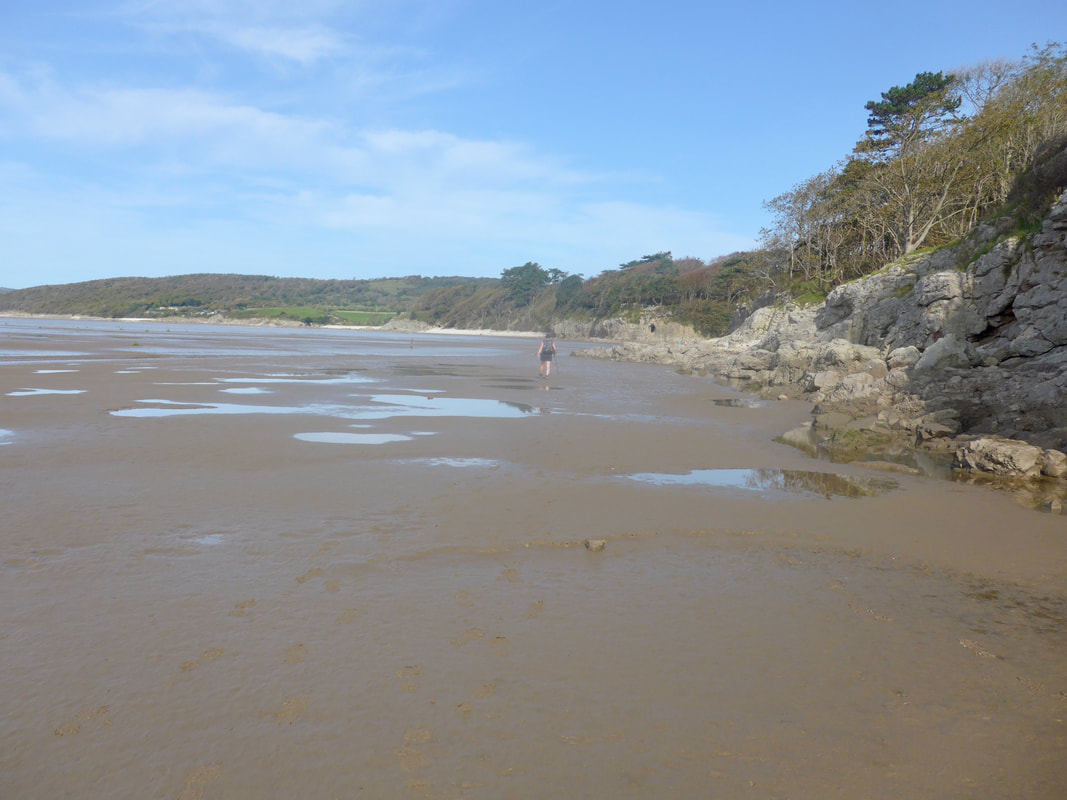
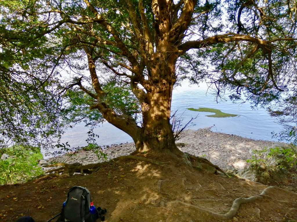
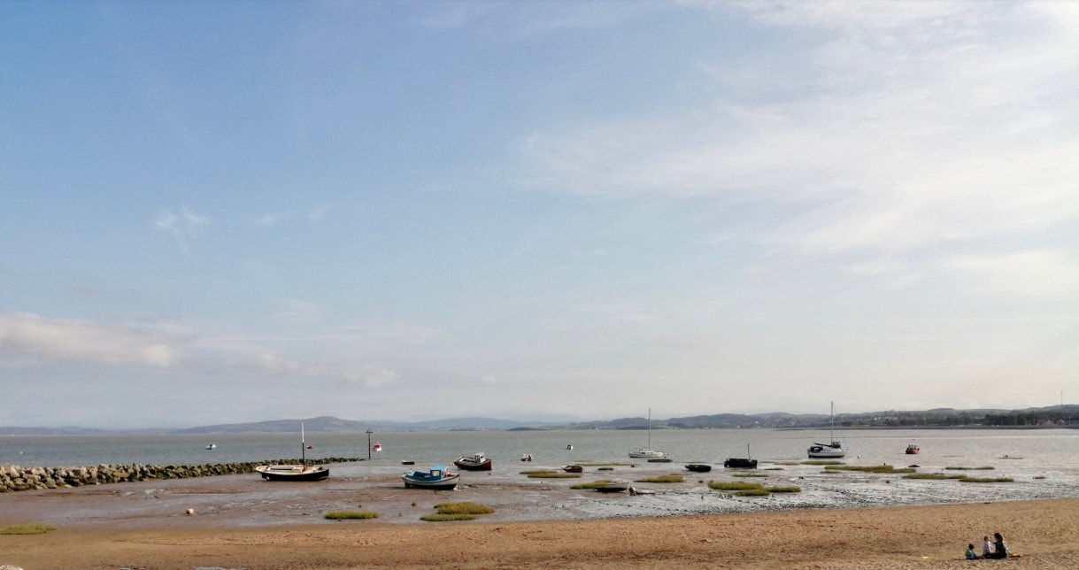
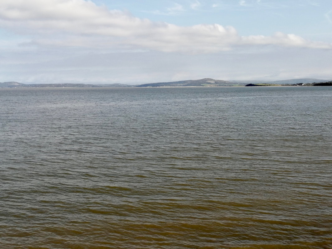
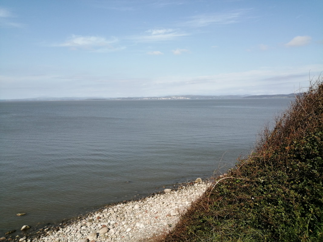
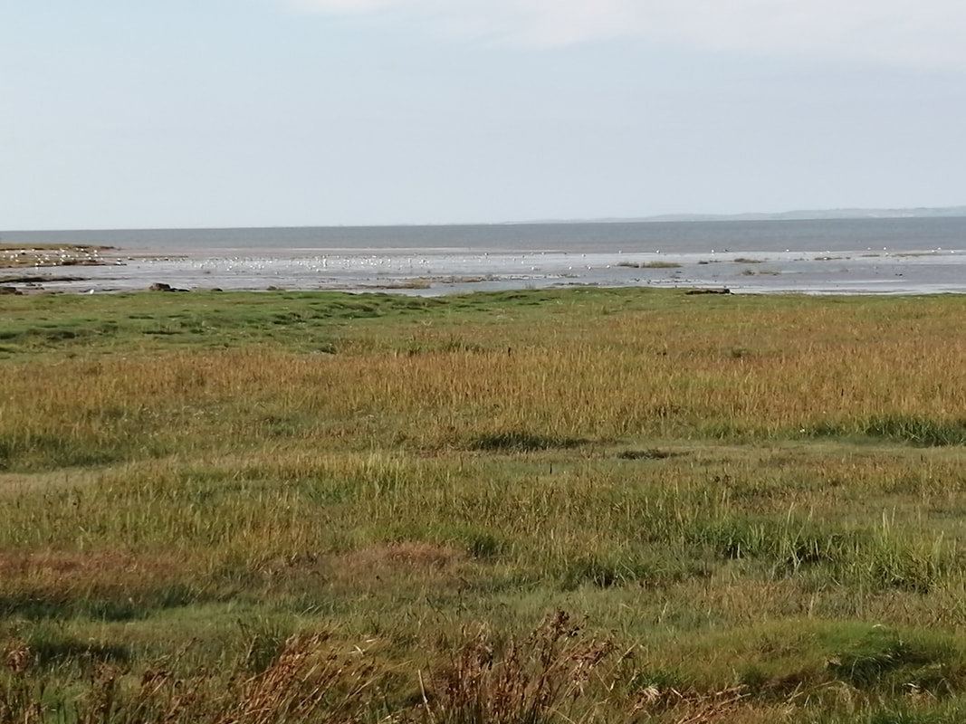
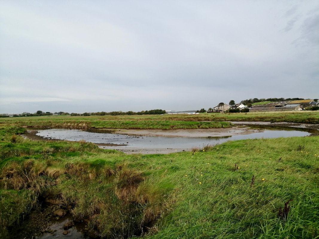
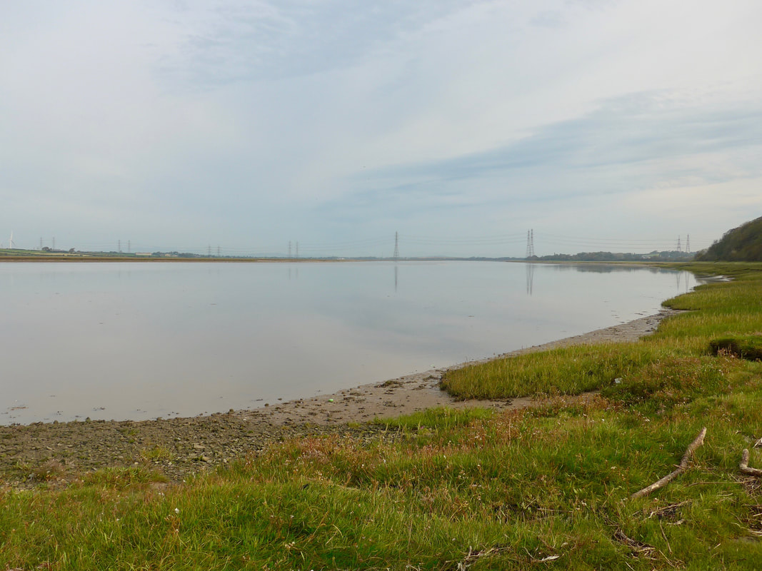
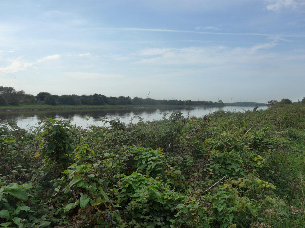
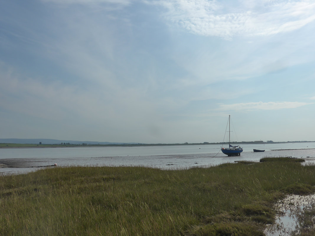
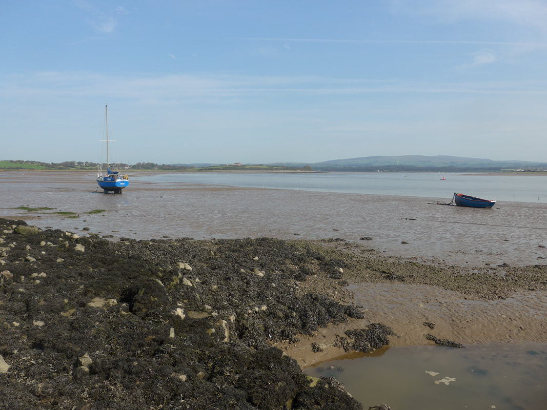
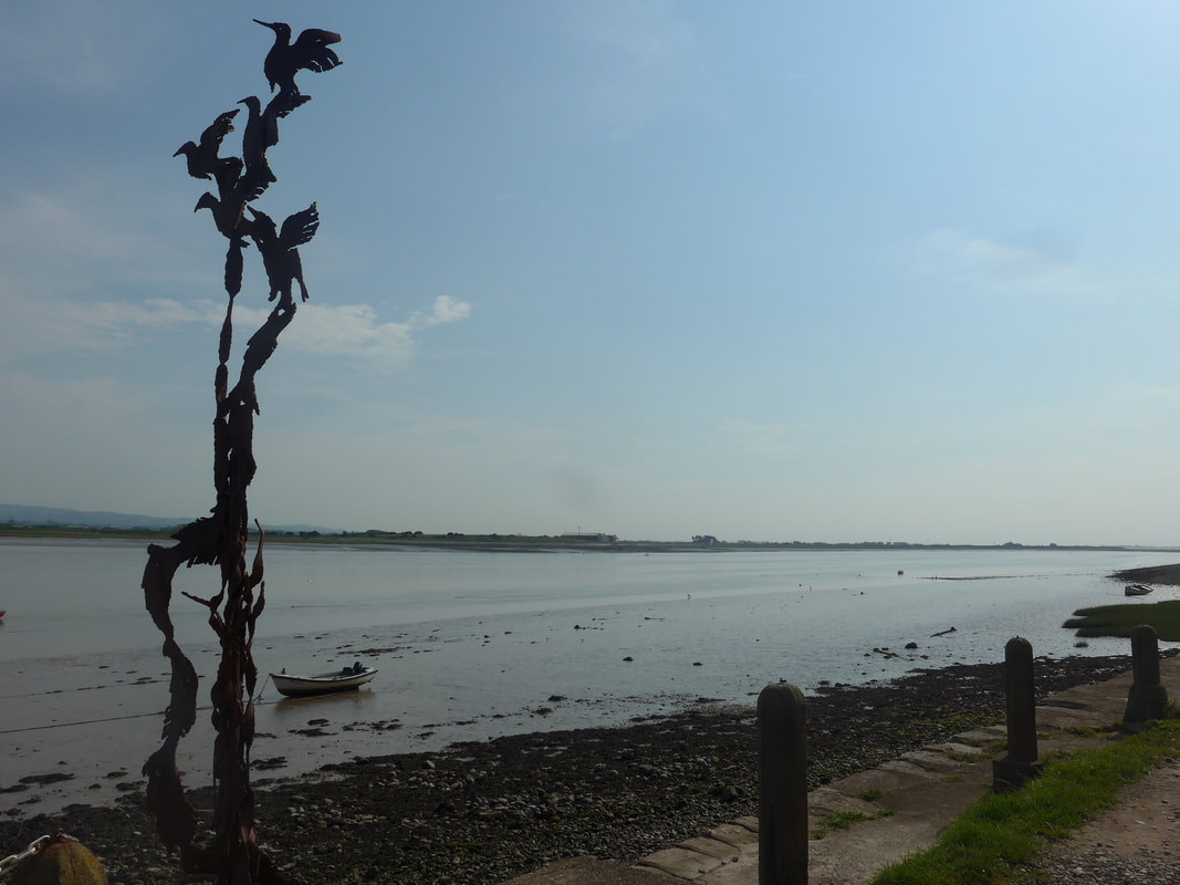
 Once we were over the Esk, socks and boots back on, it was a drizzly walk along a muddy and pebbly beach to the village of Ravenglass. The river itself runs down to the village where it turns towards the Irish Sea, discharging just opposite the Isle of Man. With the rain on we decided to seek solace at the Inn at Ravenglass where we enjoyed coffees and scones, waiting for the rain to abate.
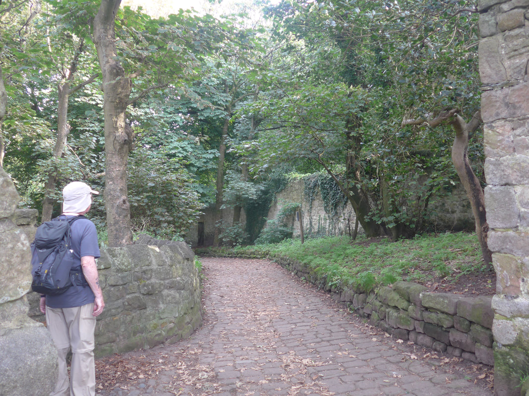
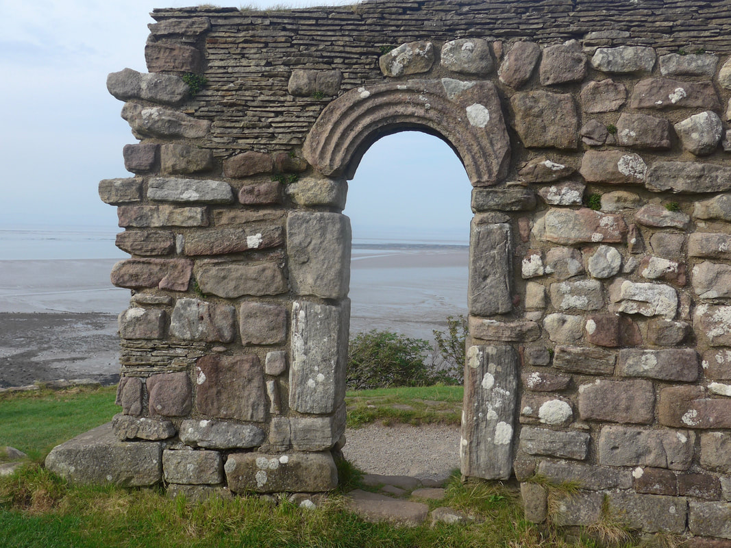
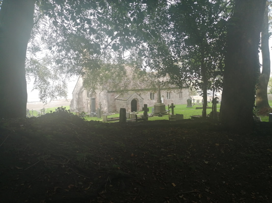
Ravenglass is on the estuaries of three rivers: the Esk, Irt and Mite. It was a Roman garrison town for three hundred years with about five hundred troops based there. There are the remains of a Roman bathhouse in the village, with substantial remains still visible. There is little visible evidence of the Roman fort that was there.
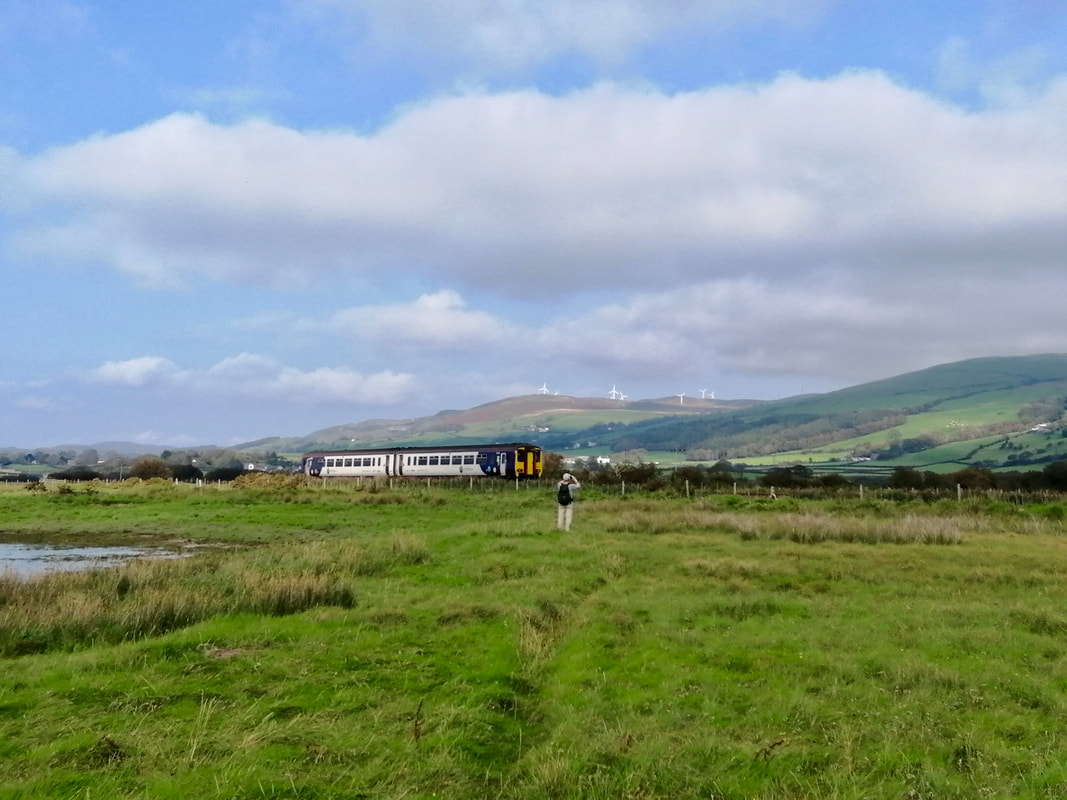
The seven-mile Ravenglass and Eskdale Railway starts here, terminating at Dalegarth Station, near the village of Boot. Privately owned and supported by a preservation society, the railway was established in 1875, originally to transport the ores mined in nearby valleys. A passenger service was introduced in 1876. Following a gradual reduction in both trade and passenger services the line was closed to passengers in 1908 and to freight in 1913. Reinstigated in 1918, the railway operated in various shapes and forms and under various owners up until 1960, when it was sold at auction to a private company, supported by the Ravenglass and Eskdale Railway Preservation Society.
Ravenglass is on the estuaries of three rivers: the Esk, Irt and Mite. It was a Roman garrison town for three hundred years with about five hundred troops based there. There are the remains of a Roman bathhouse in the village, with substantial remains still visible. There is little visible evidence of the Roman fort that was there.
The seven-mile Ravenglass and Eskdale Railway starts here, terminating at Dalegarth Station, near the village of Boot. Privately owned and supported by a preservation society, the railway was established in 1875, originally to transport the ores mined in nearby valleys. A passenger service was introduced in 1876. Following a gradual reduction in both trade and passenger services the line was closed to passengers in 1908 and to freight in 1913. Reinstigated in 1918, the railway operated in various shapes and forms and under various owners up until 1960, when it was sold at auction to a private company, supported by the Ravenglass and Eskdale Railway Preservation Society.
Beach at Ravenglass

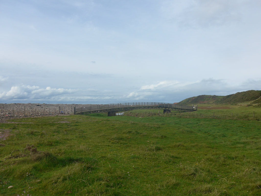
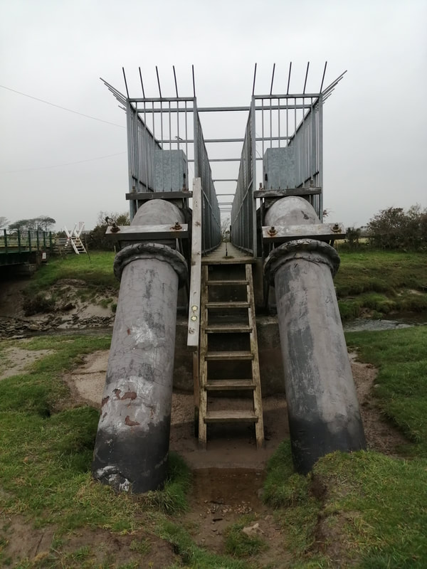
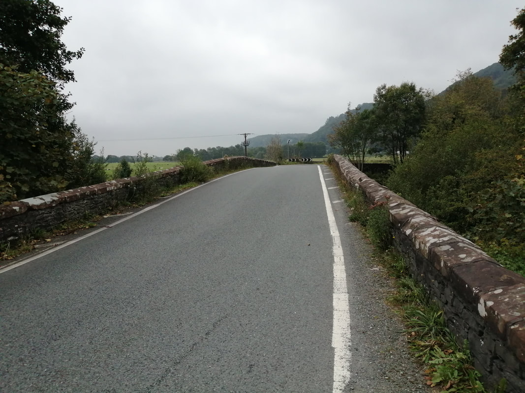
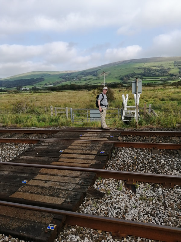
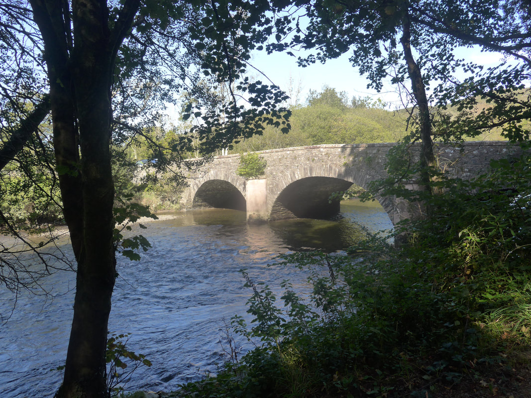
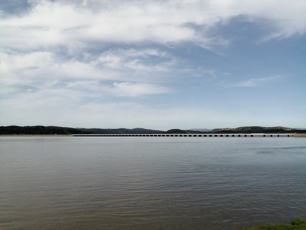
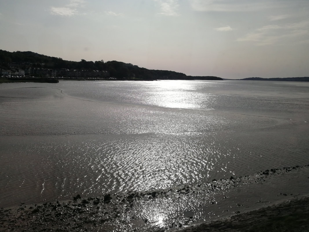
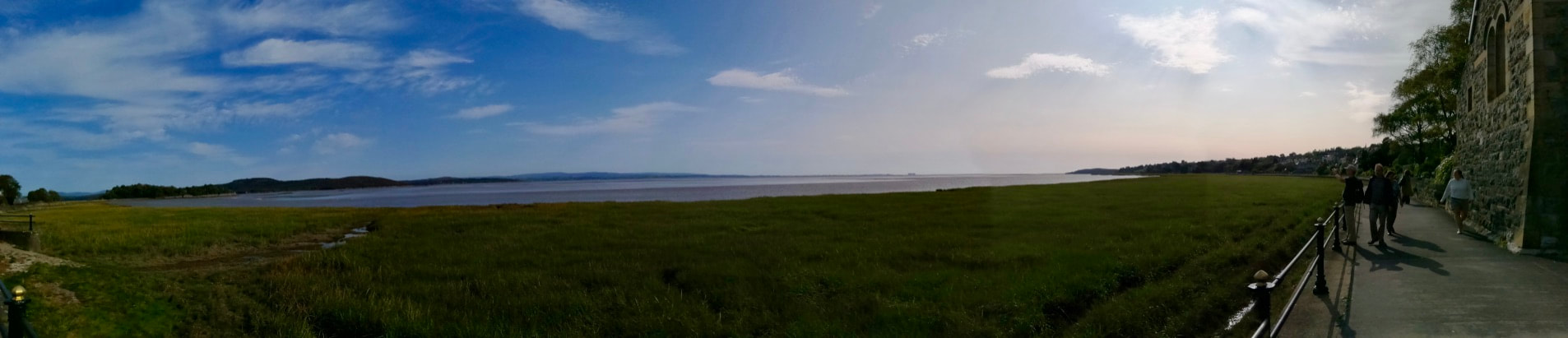
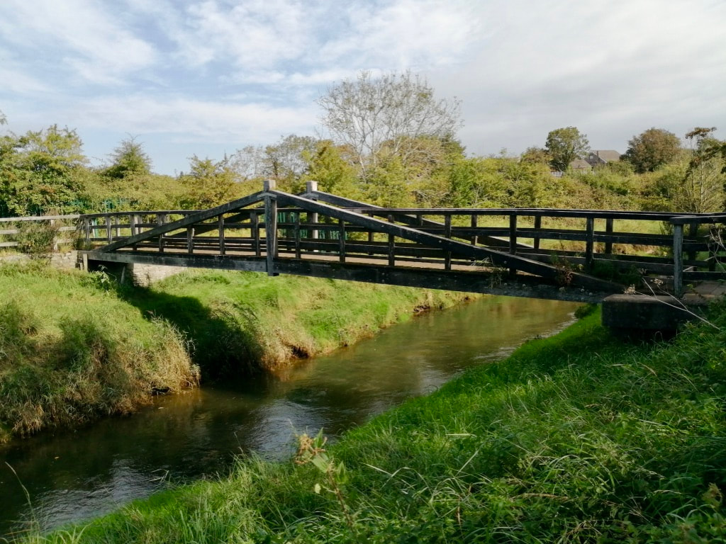
 Ravenglass - with pedestrian bridge
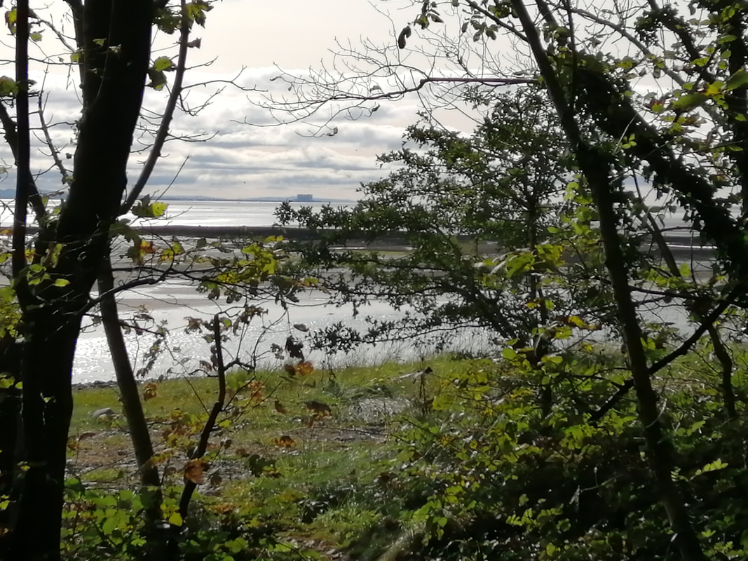
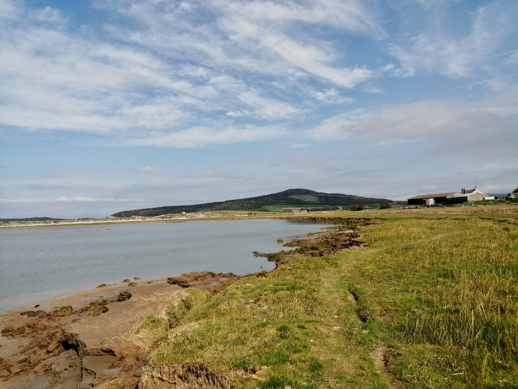
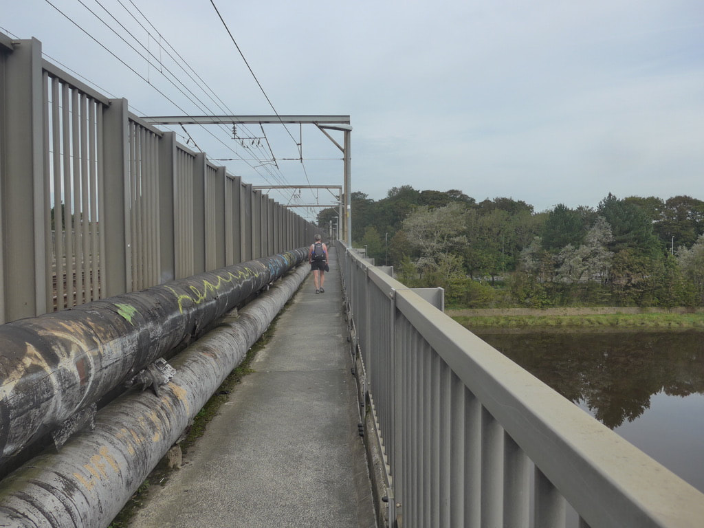
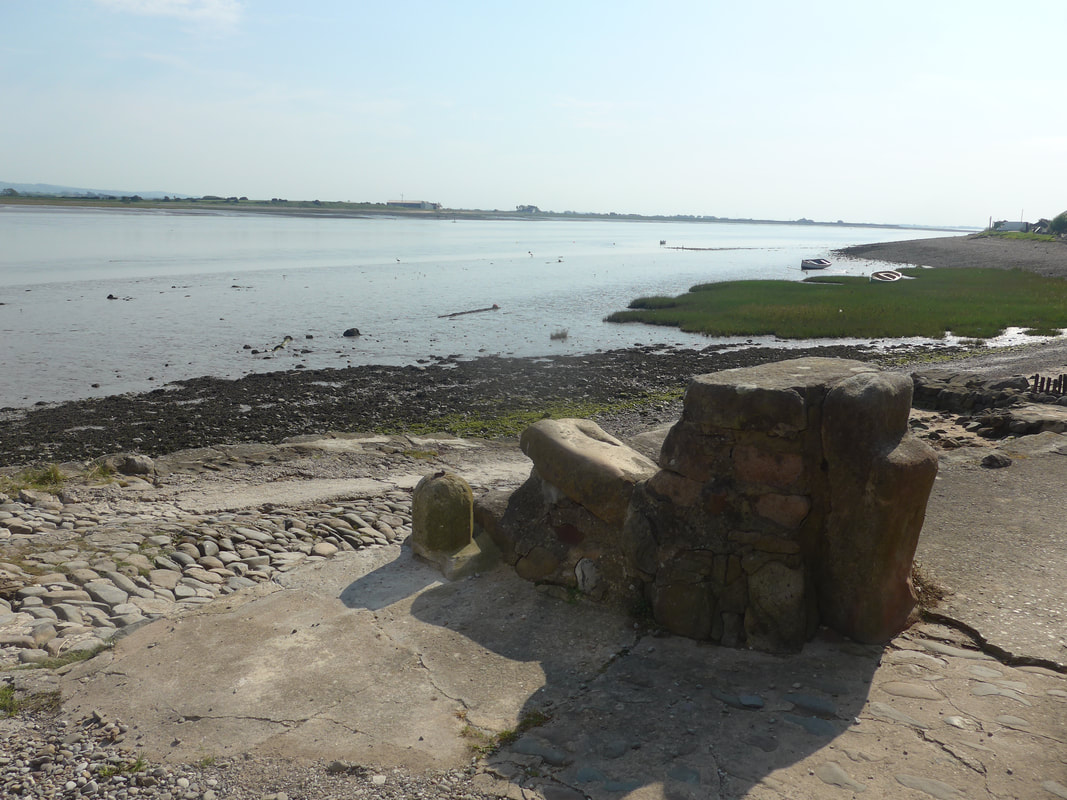
 When it came time to leave the hostelry we headed for the railway bridge. The River Mite empties in to the River Esk at Ravenglass but thankfully there is a pedestrian bridge strapped on to the edge of the railway bridge which makes crossing it easy. By now the tide was well in and there was no way we could have used the ford by the bridge. Looking at the high mud banks on the ford it did not look like it would have been a pleasant experience.
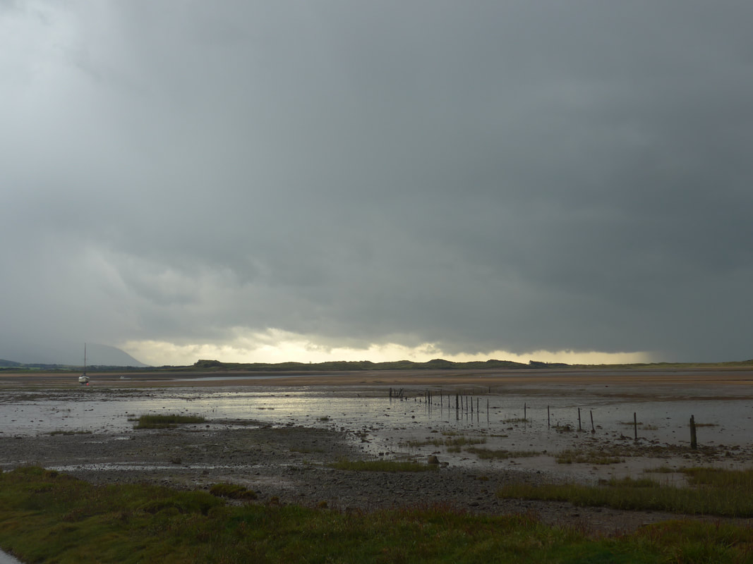
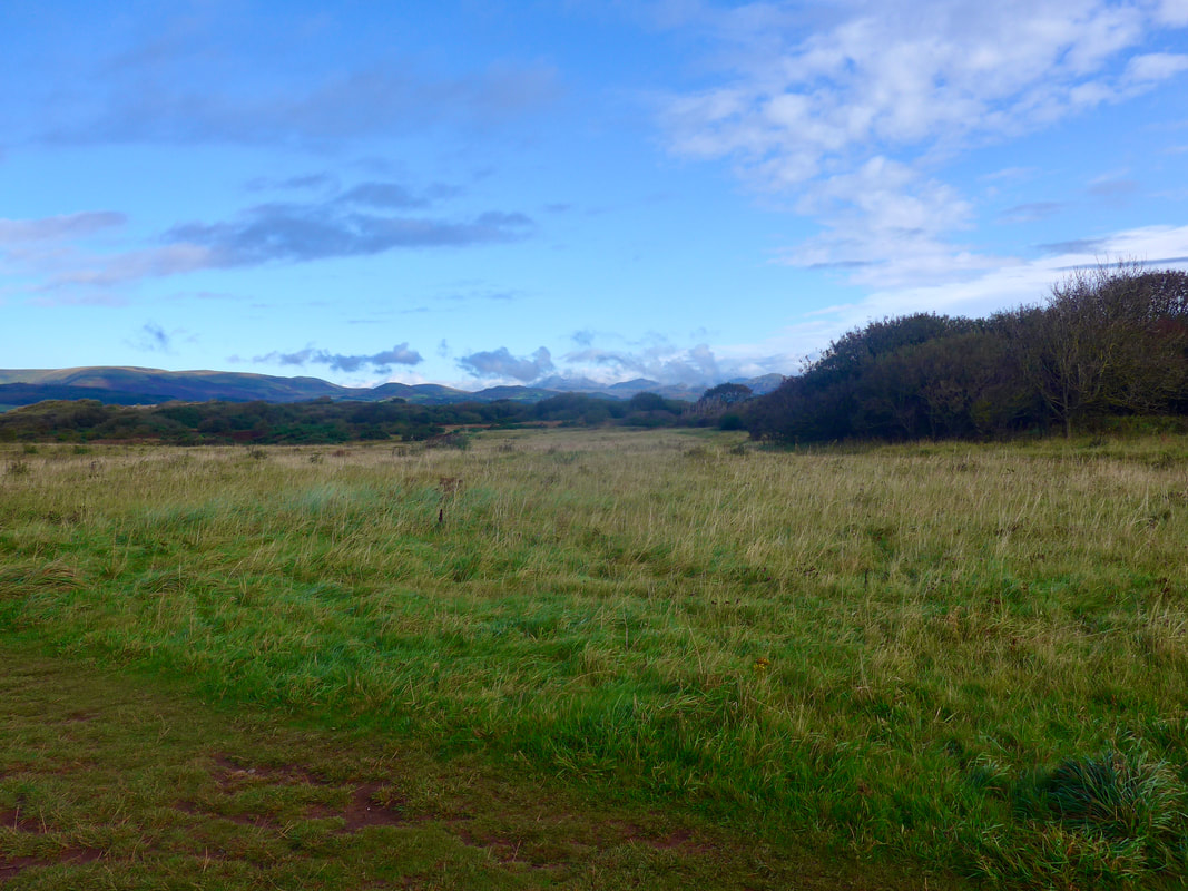
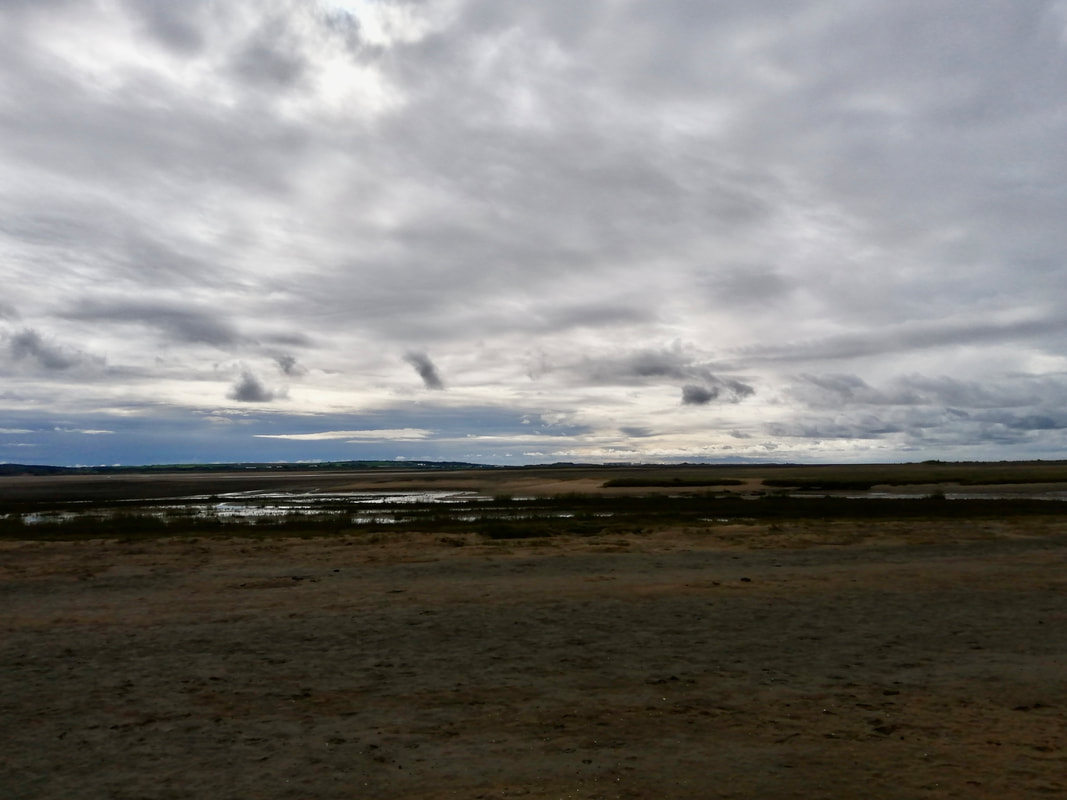
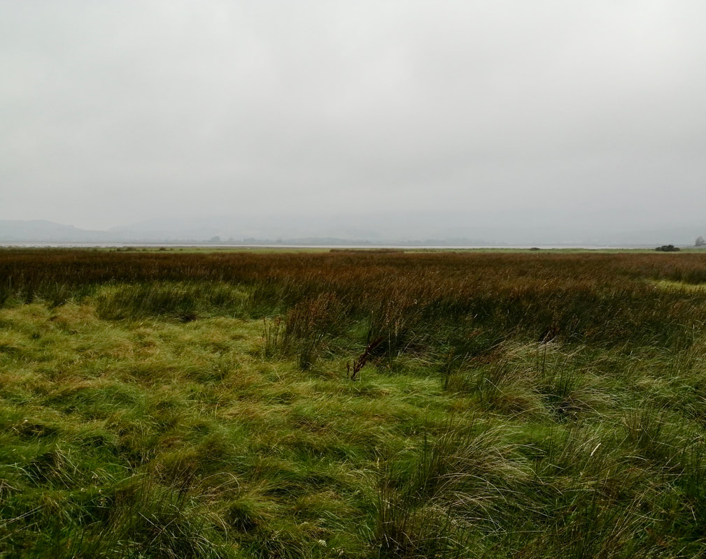
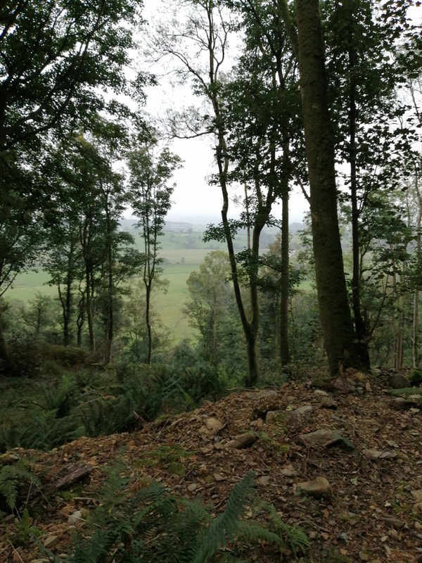
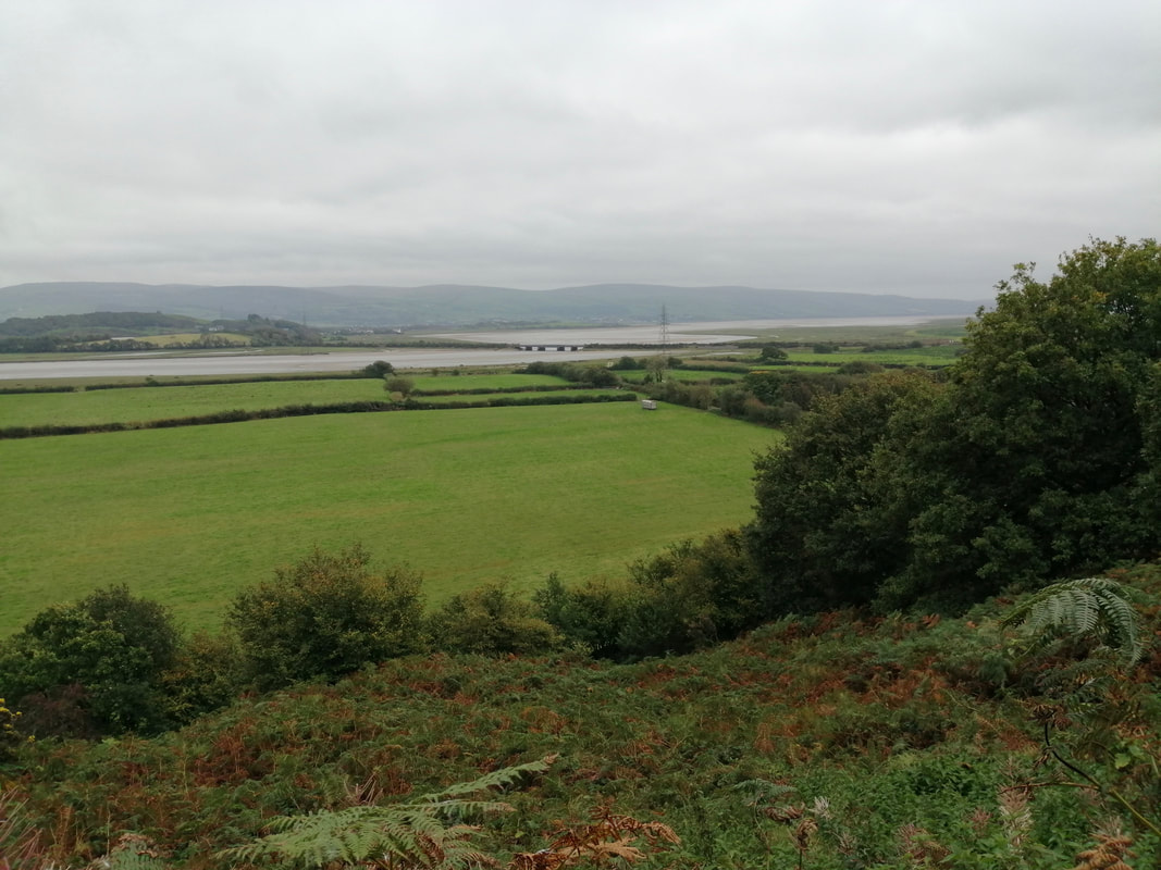
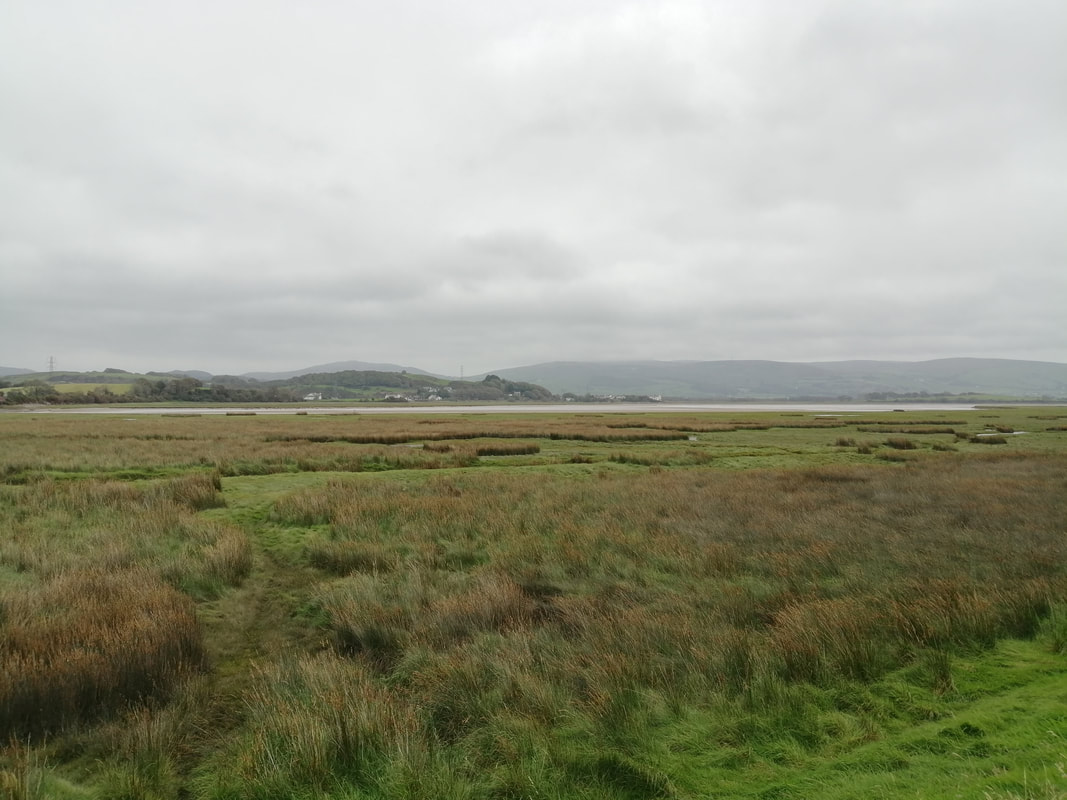
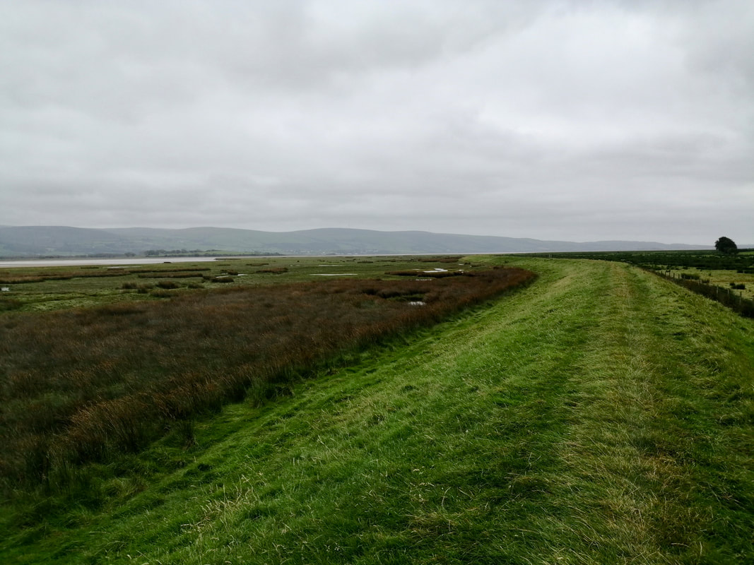
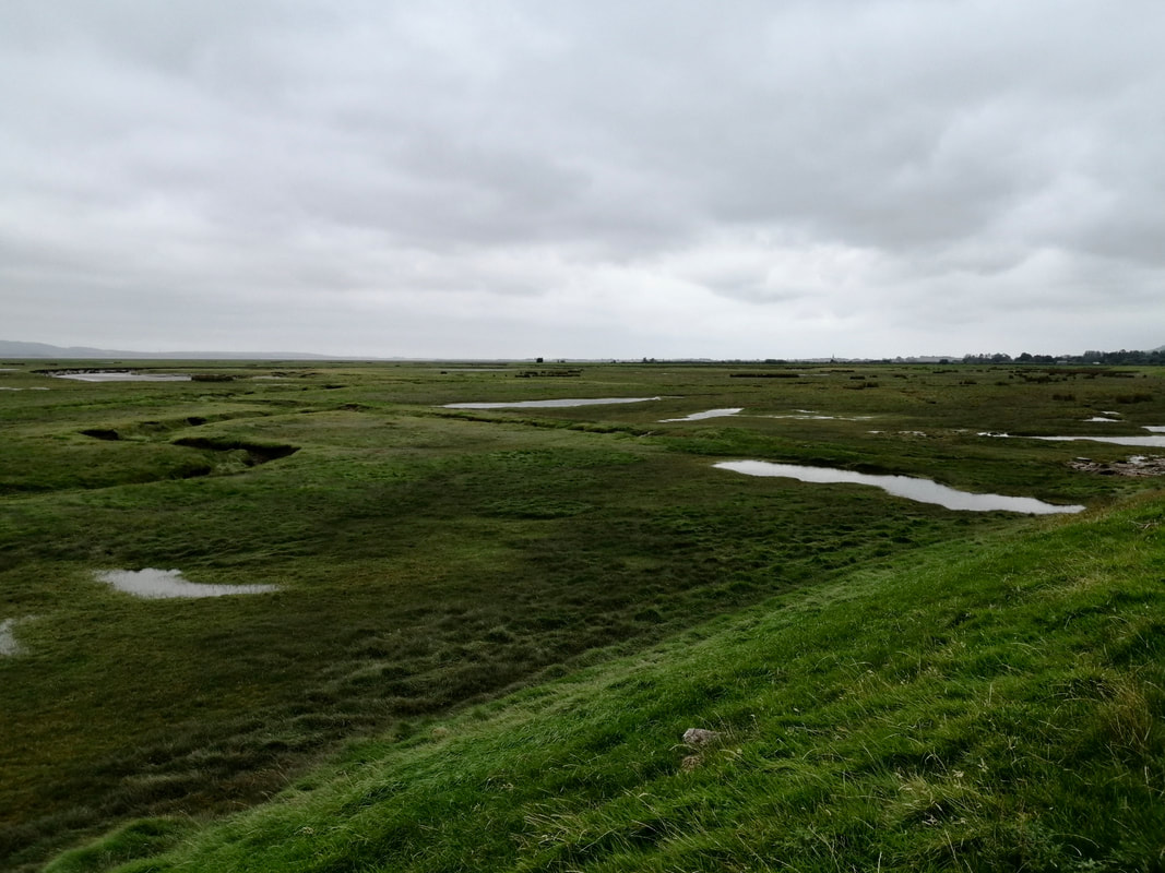
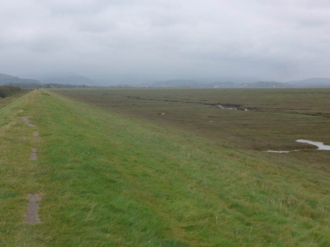
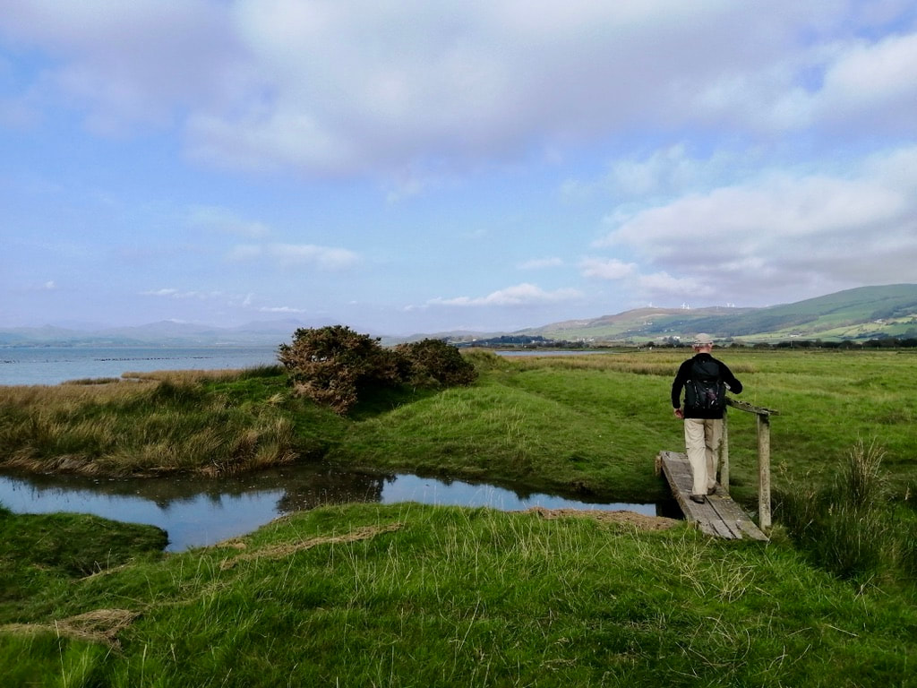
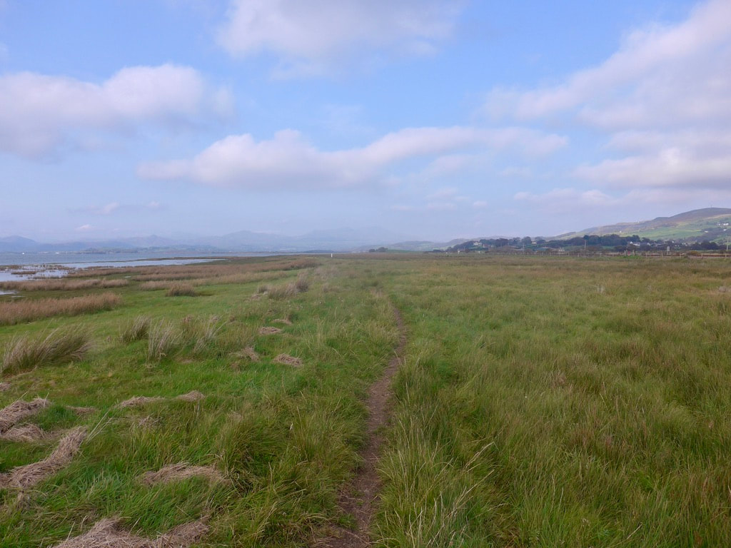
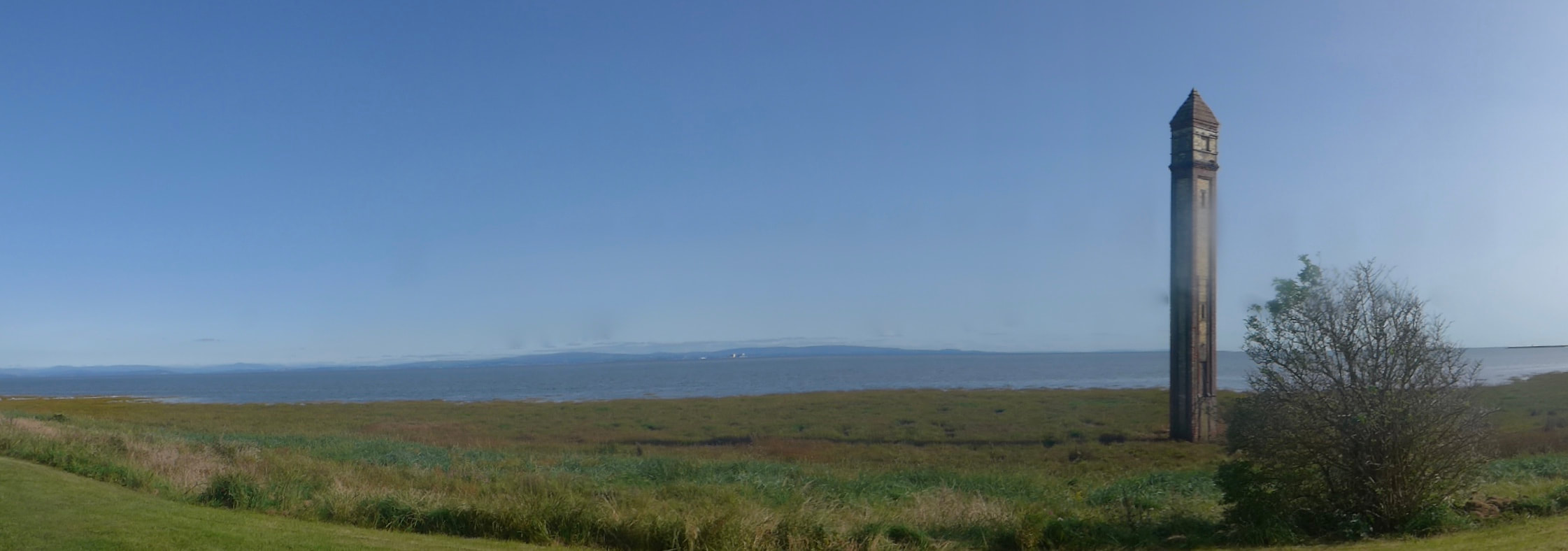
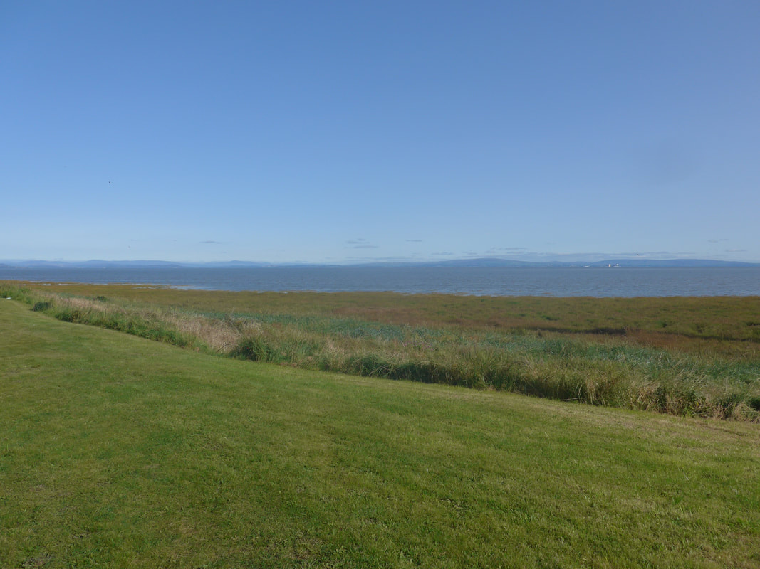
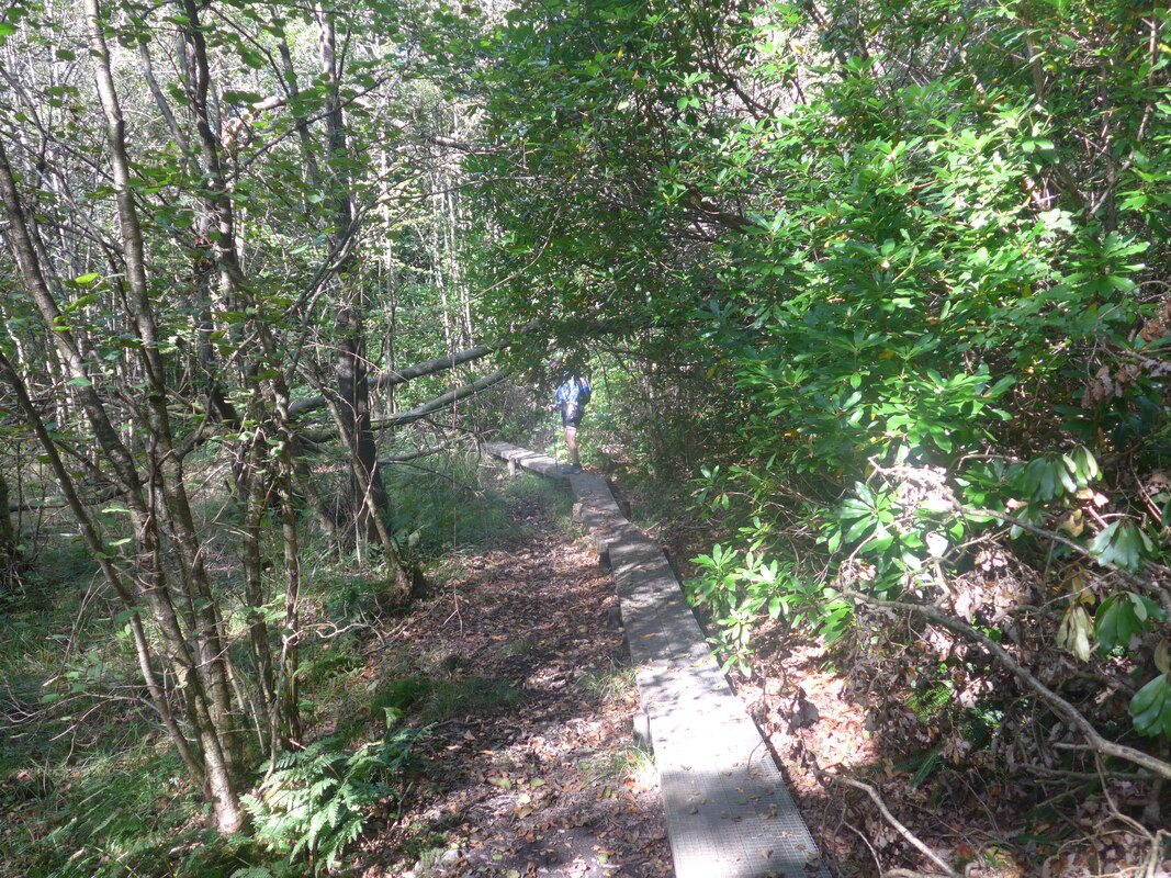
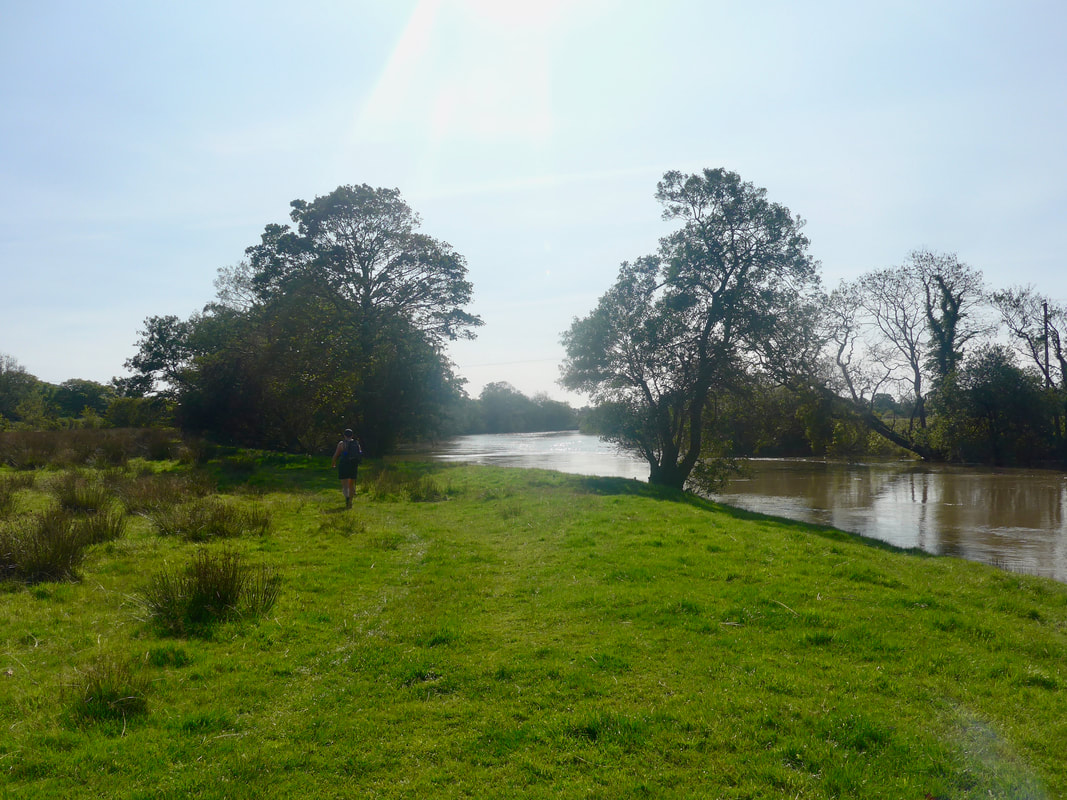
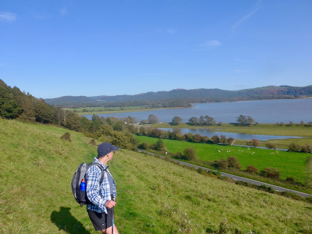
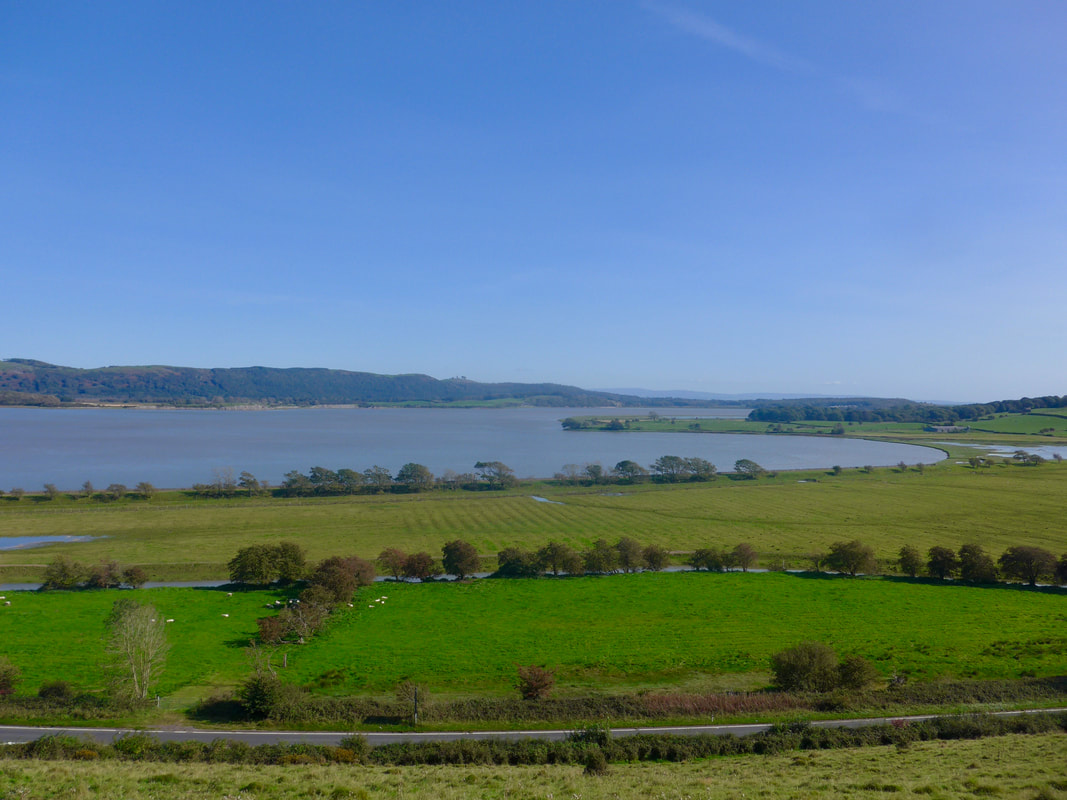
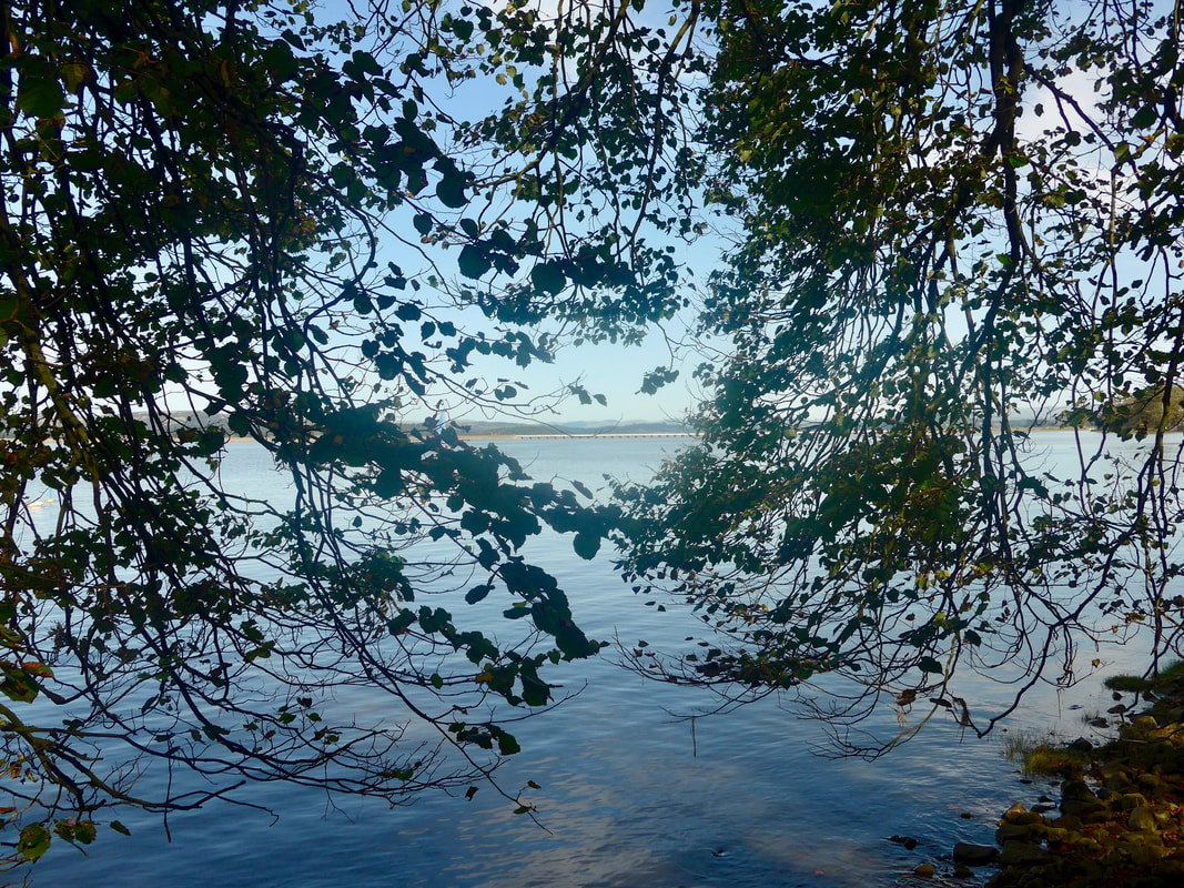
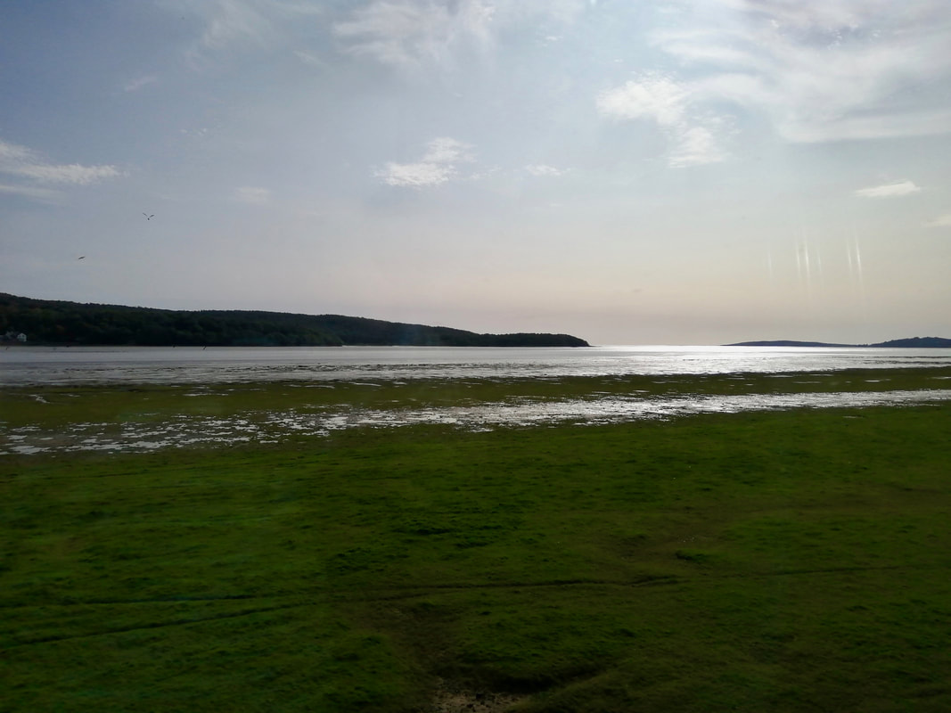
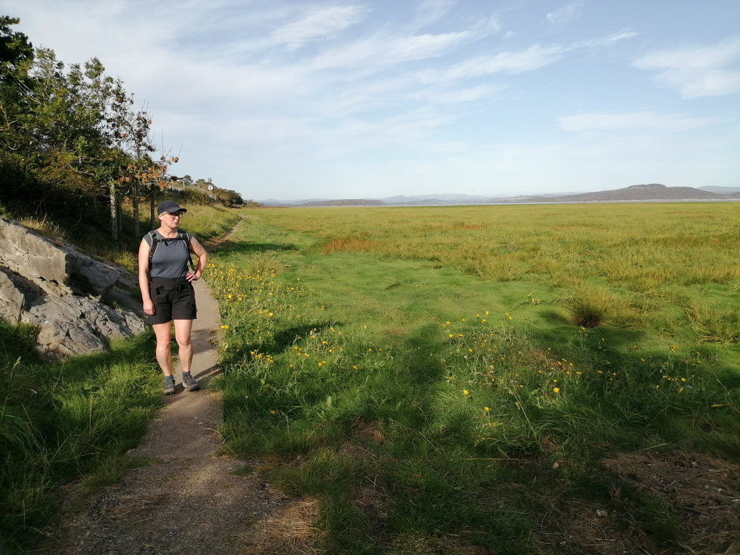
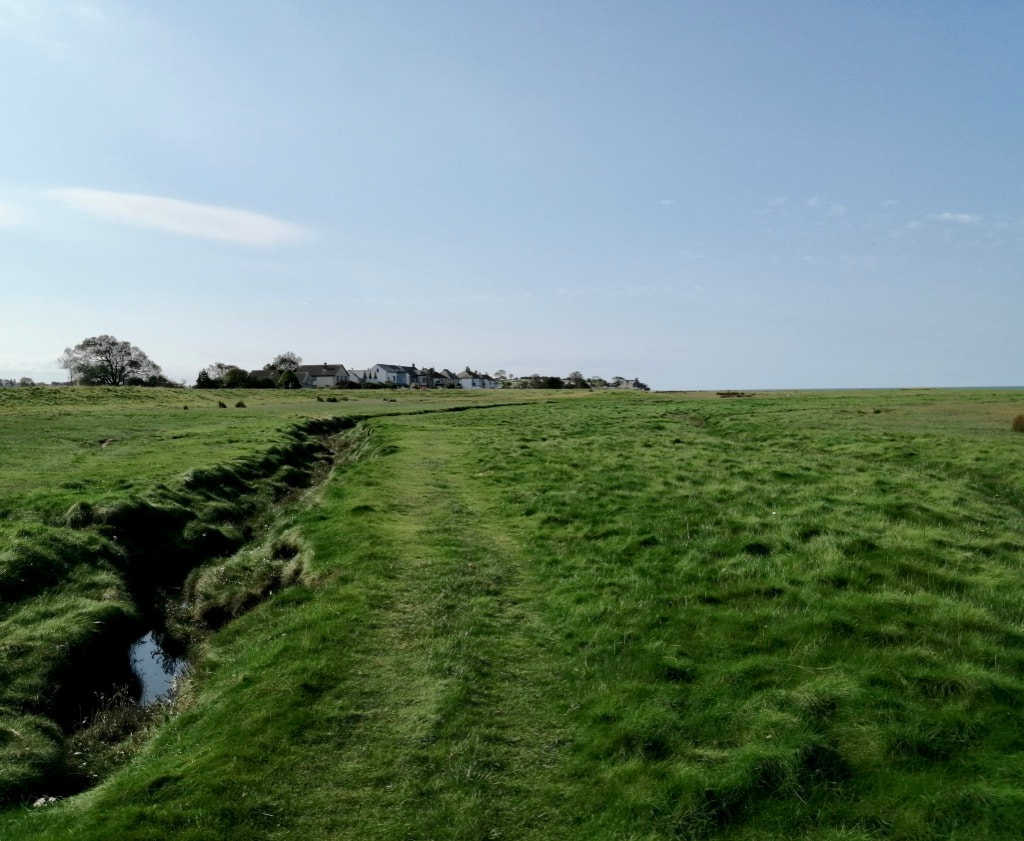
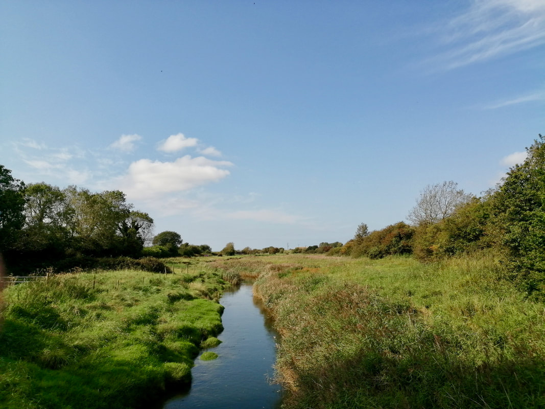
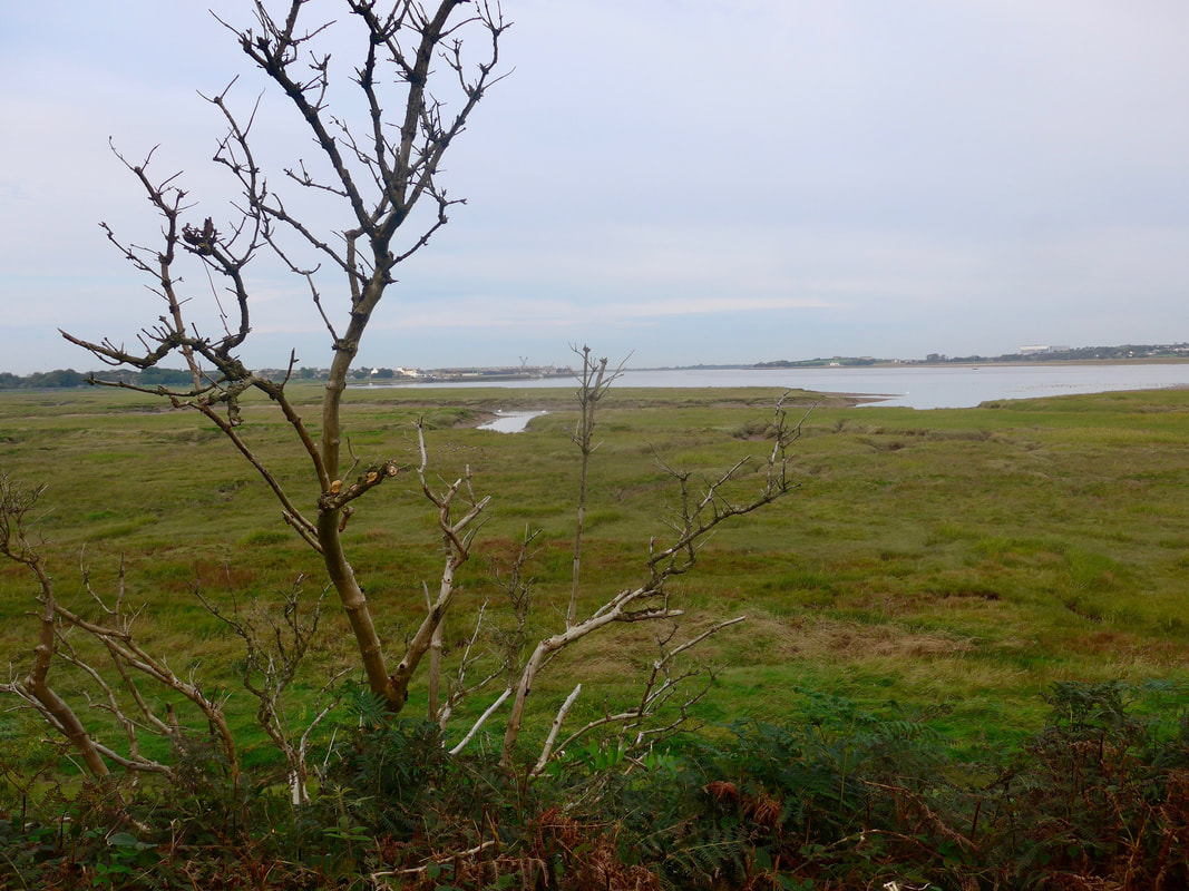
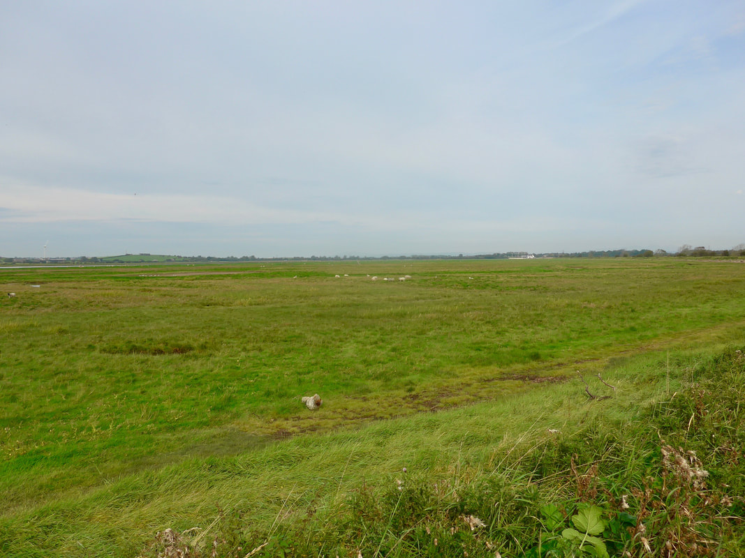
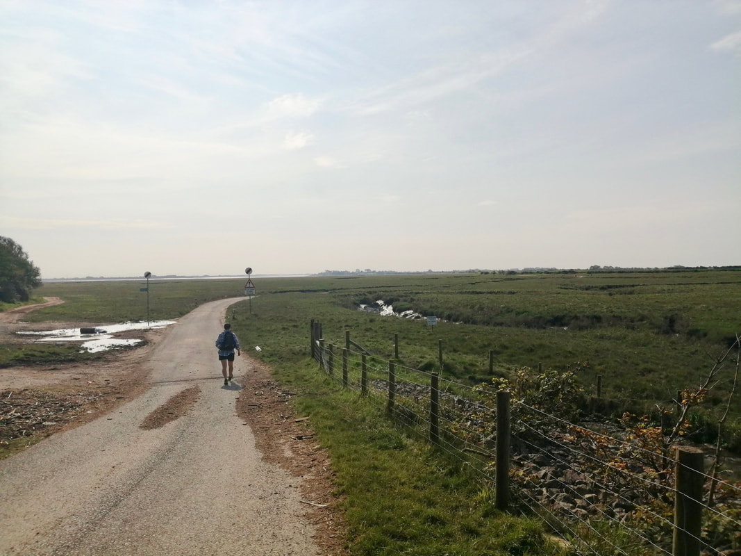
Coming off the bridge we moved on to a pedestrian walkway which crosses a marsh, part of the nature reserve. The views back to Ravenglass from the walkway were quite spectacular with a sharp contrast between our dark environment beneath a huge thundercloud and the white light on the distant horizon over towards Barrow-in-Furness.
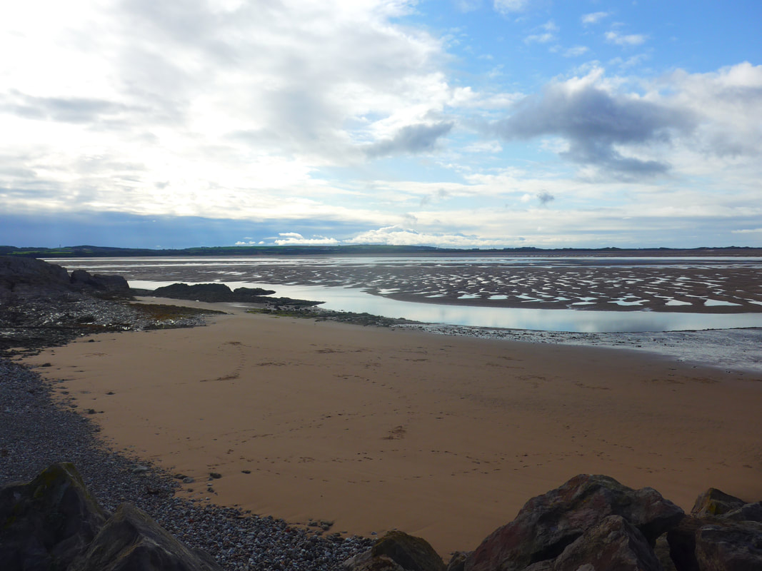
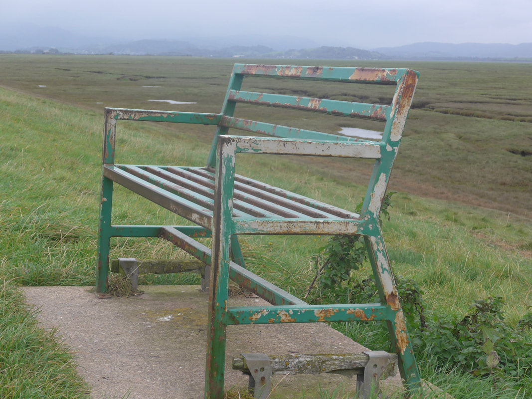
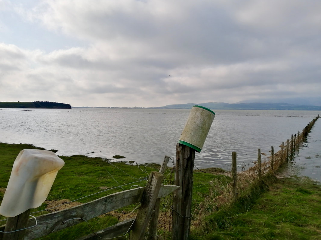
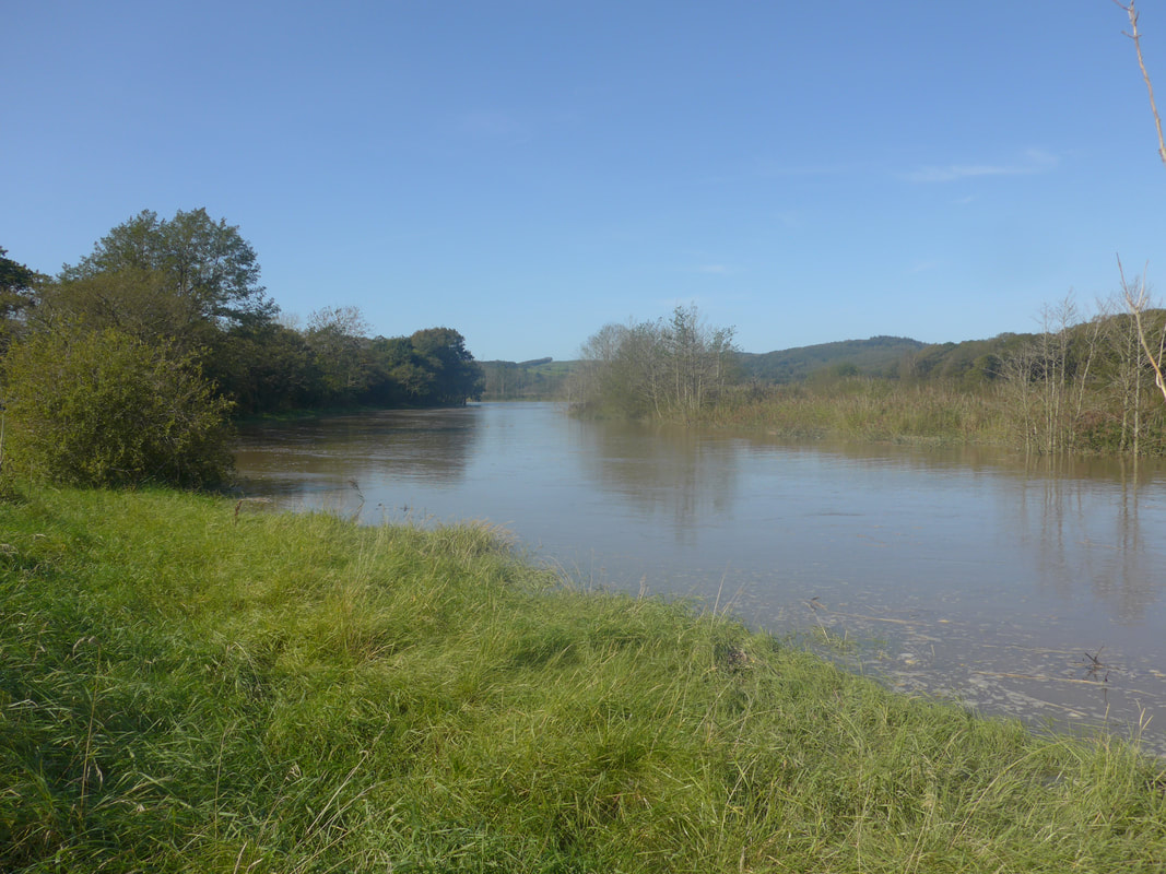
The high water level as we walked convinced us that it was unlikely we would be able to cross the ford on the River Irt later on at Drigg, which we were scheduled to reach just about the high tide mark. If we were unable to wade the River Irt, plan B was to divert just before Carleton Hall to take the road detour via the Holme pedestrian bridge.
The River Irt was once famous for black peals which grew in its fresh water mussels. Sadly, very few of the mussels remain now, poached almost to the edge of extinction. As we walked this section the rain continued to fall, becoming heavier with each mile walked.
Coming off the bridge we moved on to a pedestrian walkway which crosses a marsh, part of the nature reserve. The views back to Ravenglass from the walkway were quite spectacular with a sharp contrast between our dark environment beneath a huge thundercloud and the white light on the distant horizon over towards Barrow-in-Furness.
The high water level as we walked convinced us that it was unlikely we would be able to cross the ford on the River Irt later on at Drigg, which we were scheduled to reach just about the high tide mark. If we were unable to wade the River Irt, plan B was to divert just before Carleton Hall to take the road detour via the Holme pedestrian bridge.
The River Irt was once famous for black peals which grew in its fresh water mussels. Sadly, very few of the mussels remain now, poached almost to the edge of extinction. As we walked this section the rain continued to fall, becoming heavier with each mile walked.
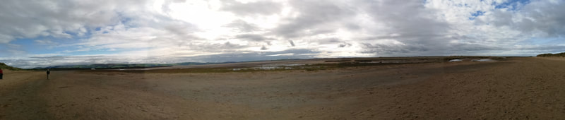
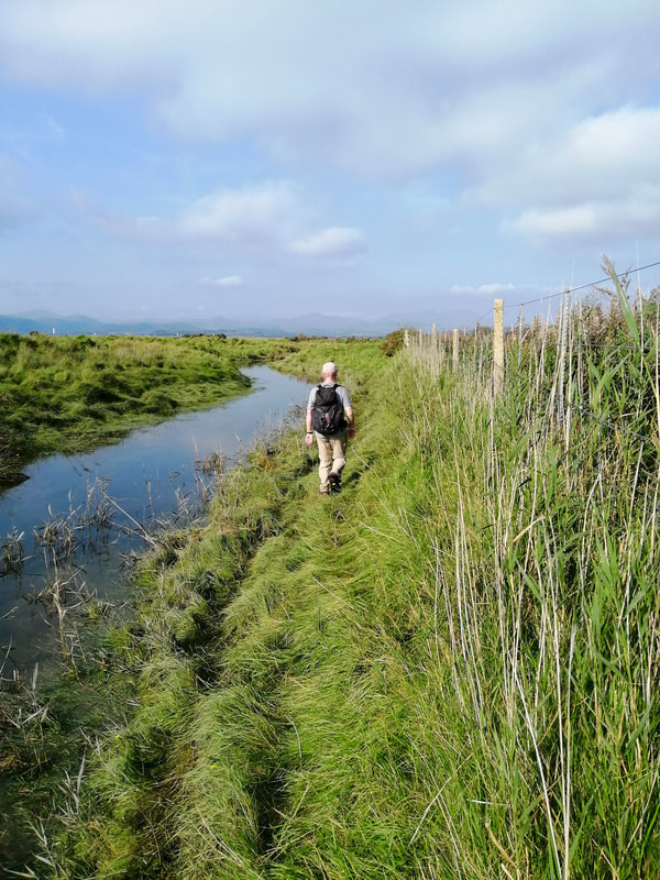
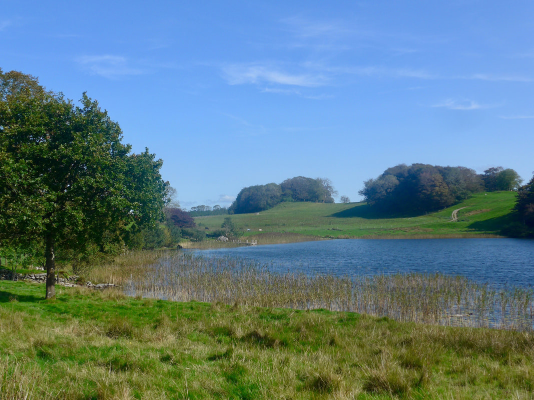
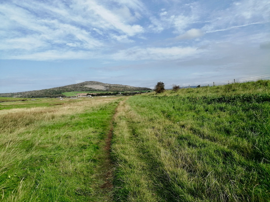
Ravenglass to Holme Bridge


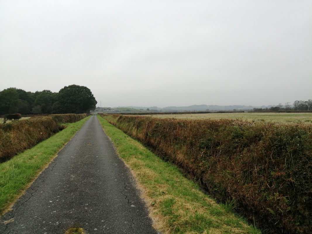
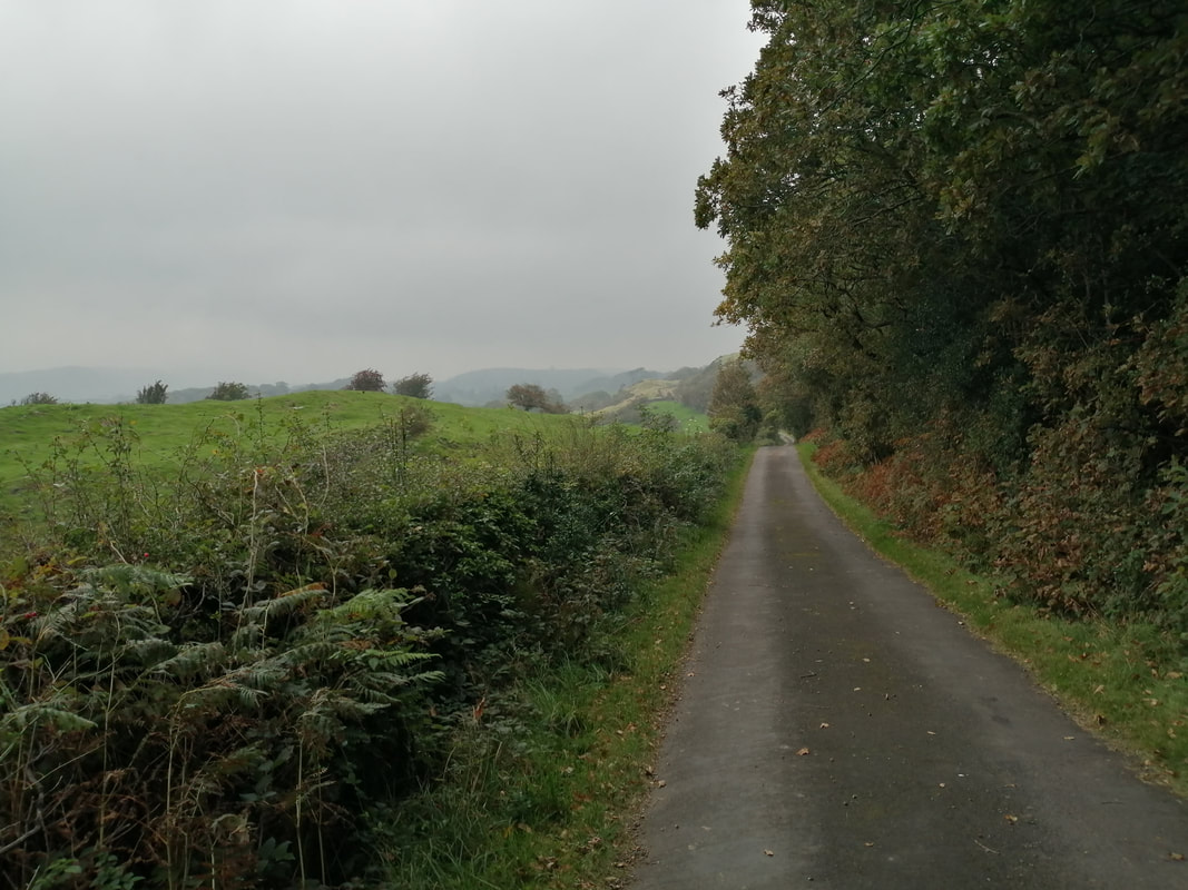
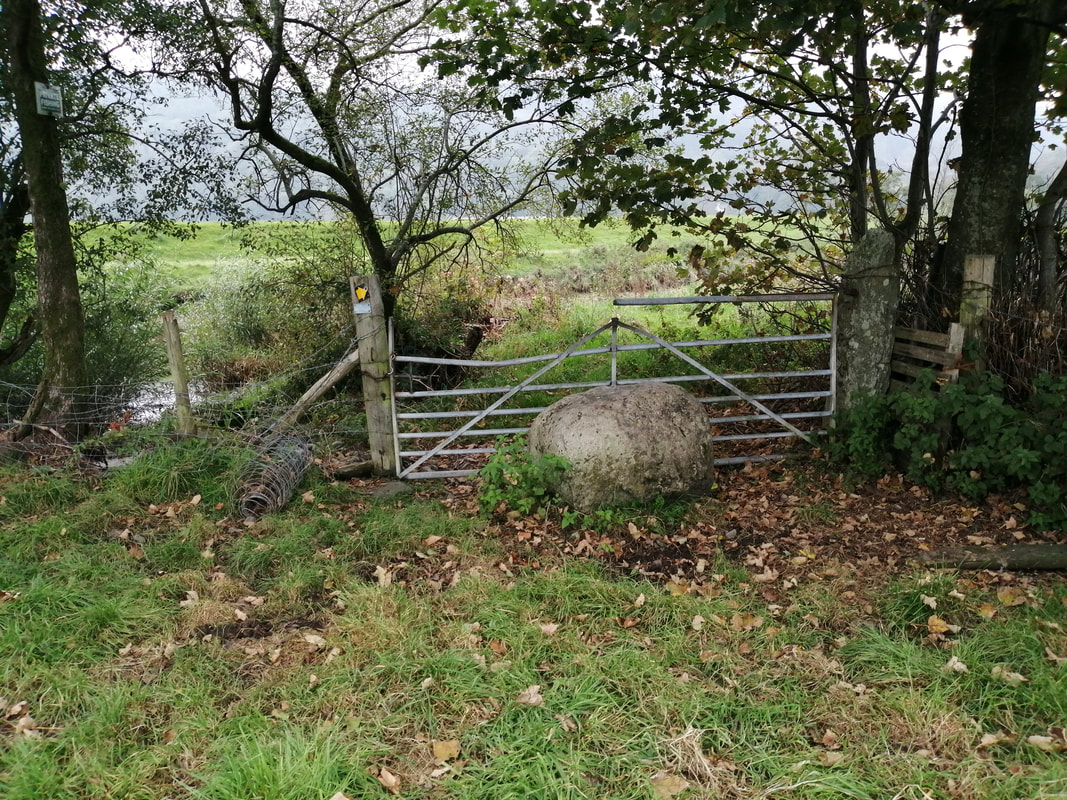
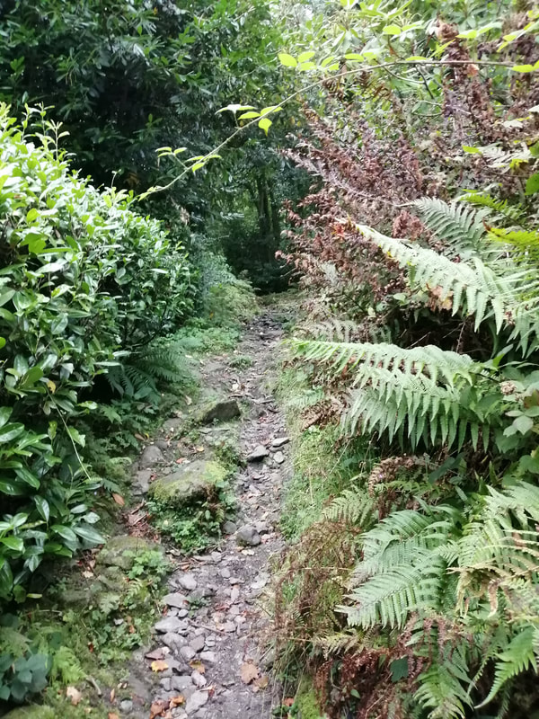
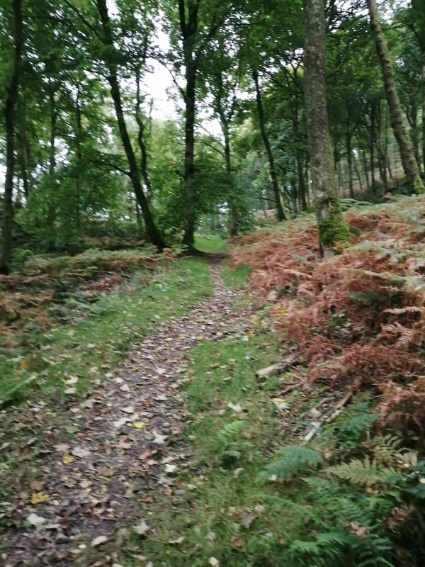
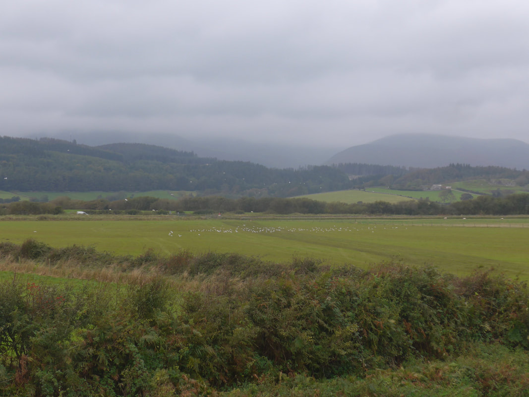
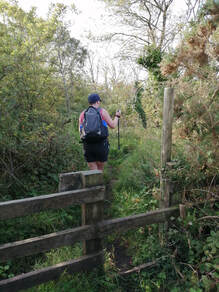
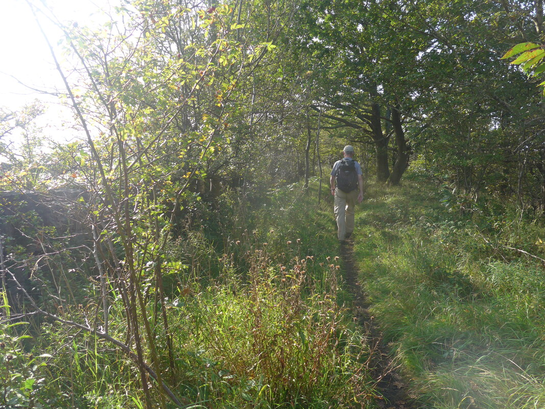
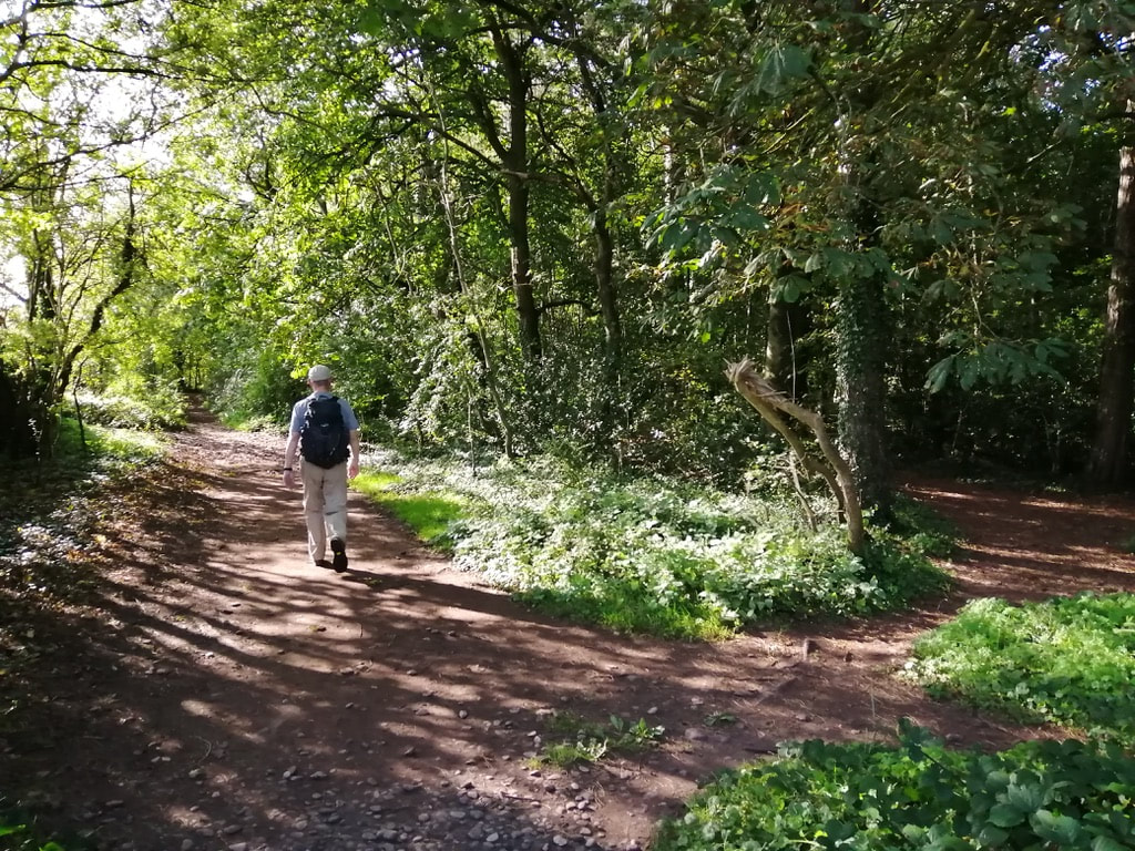
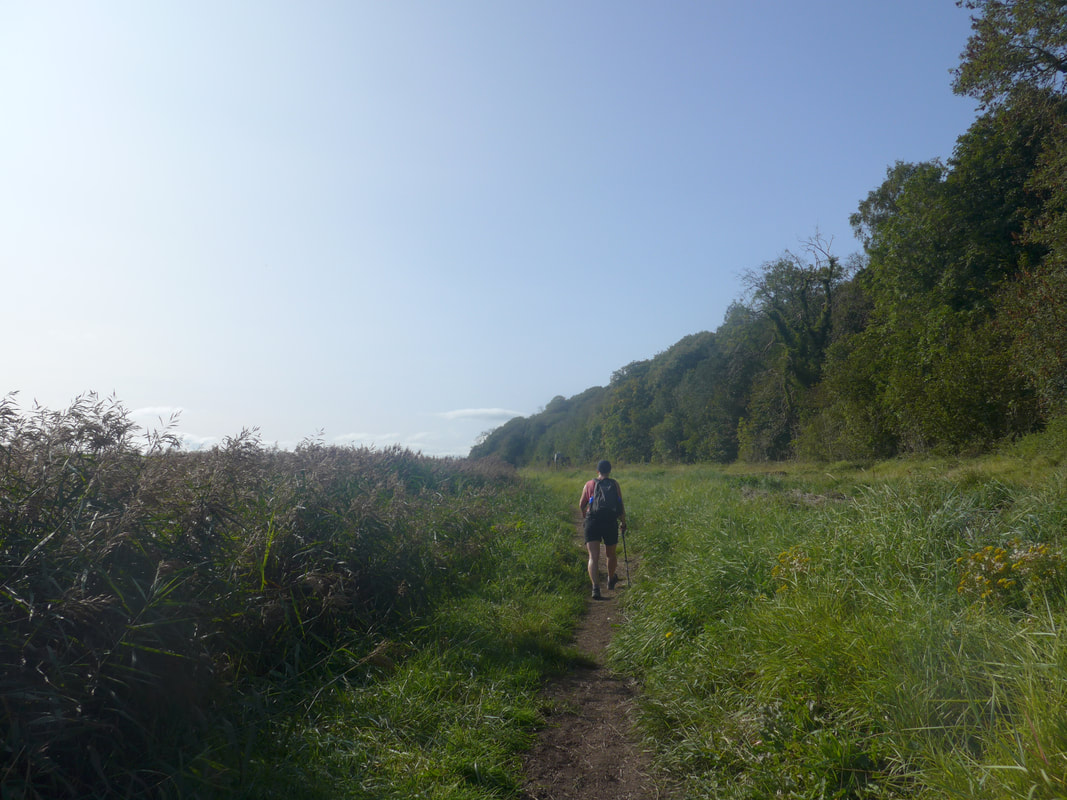
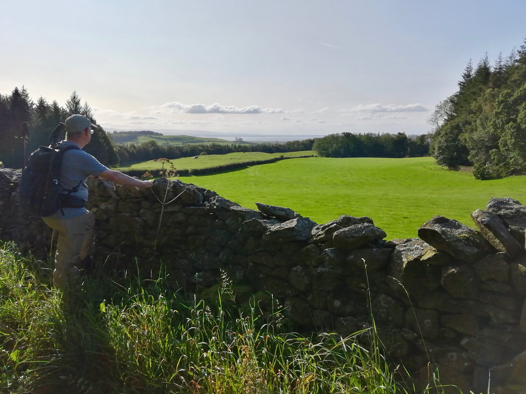
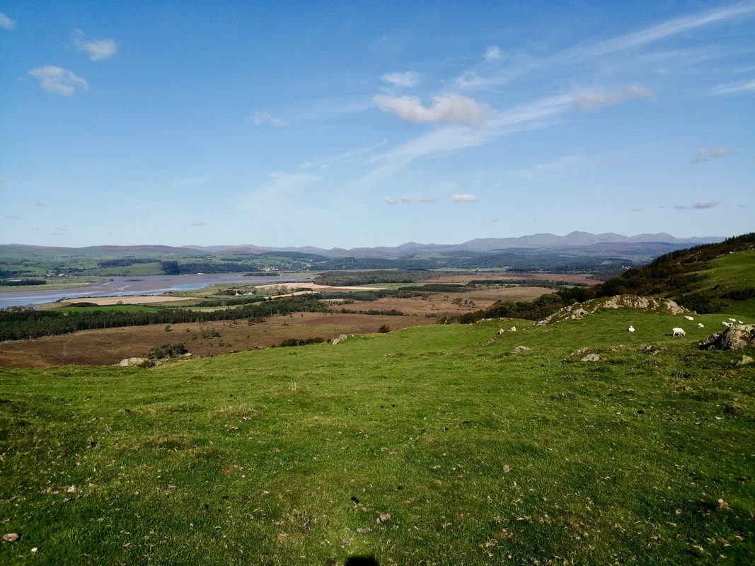
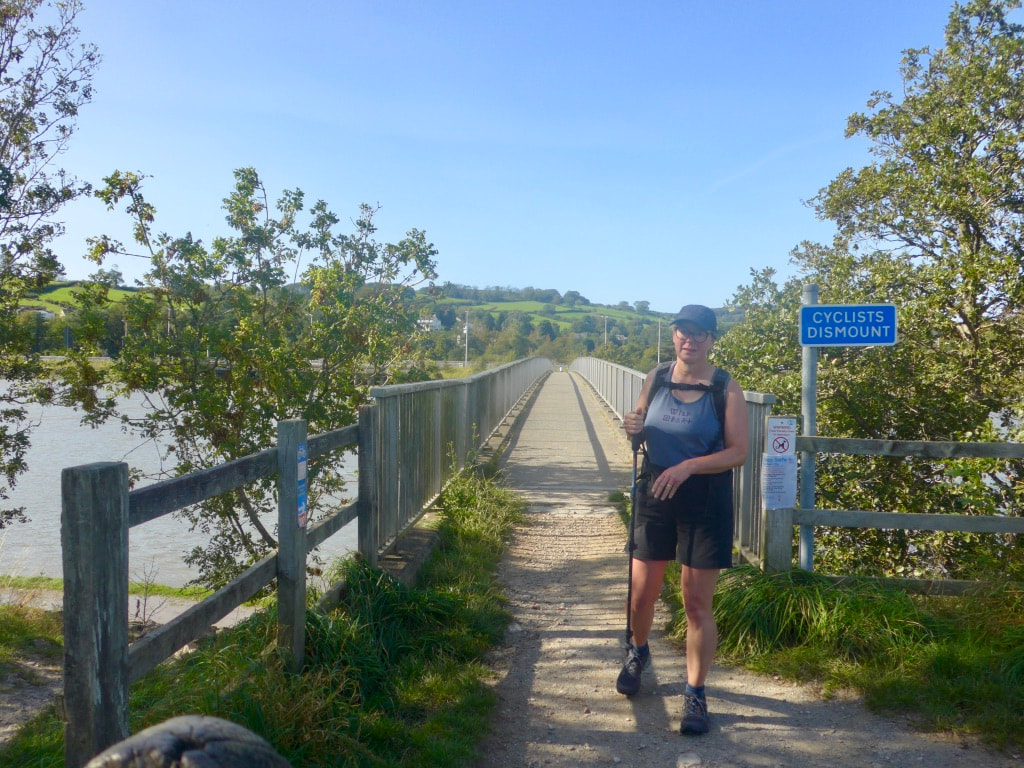
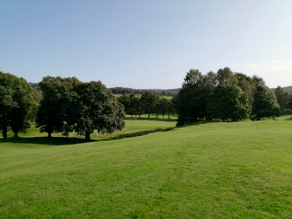
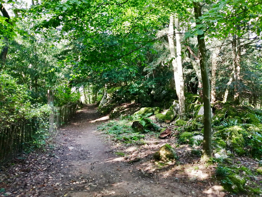
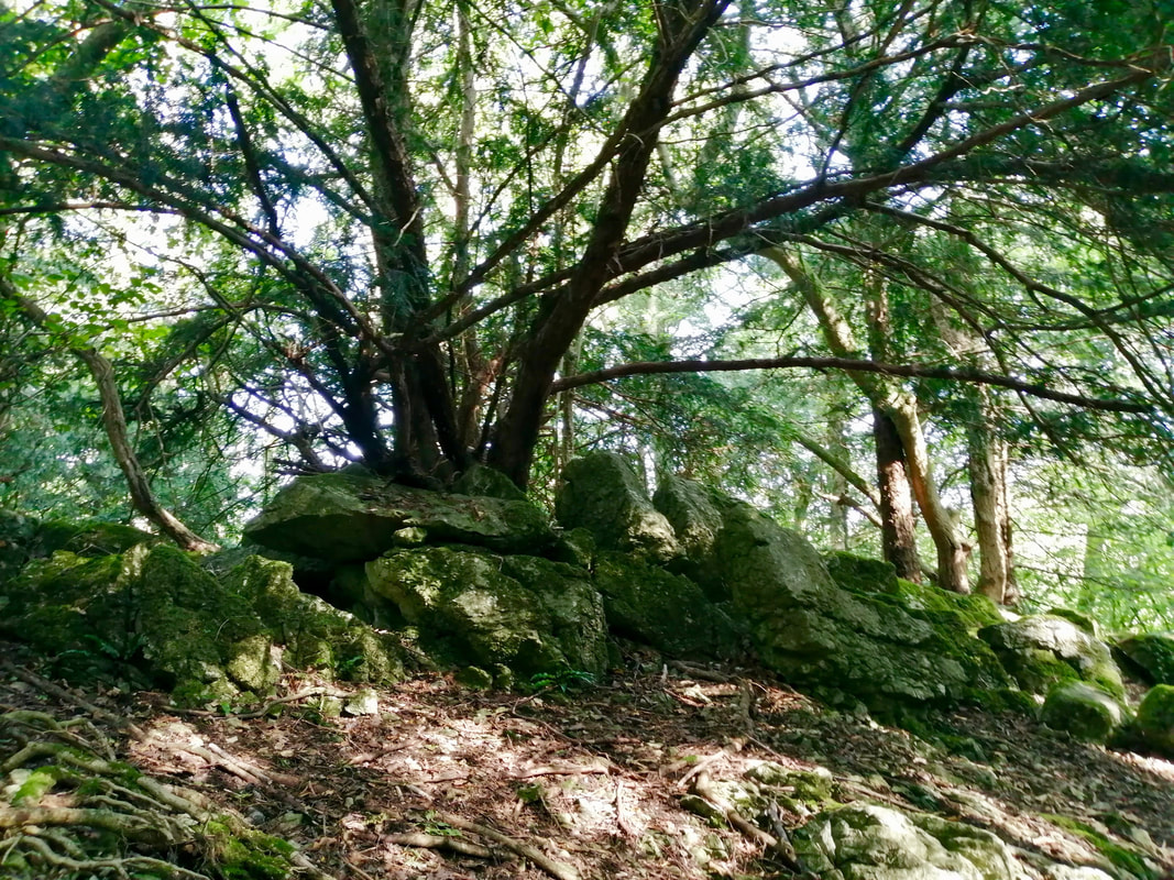
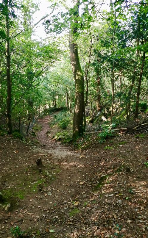
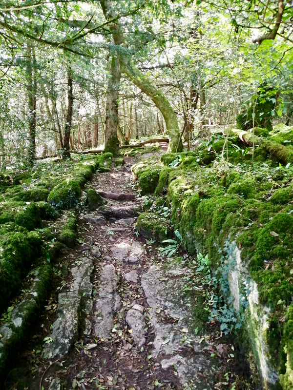
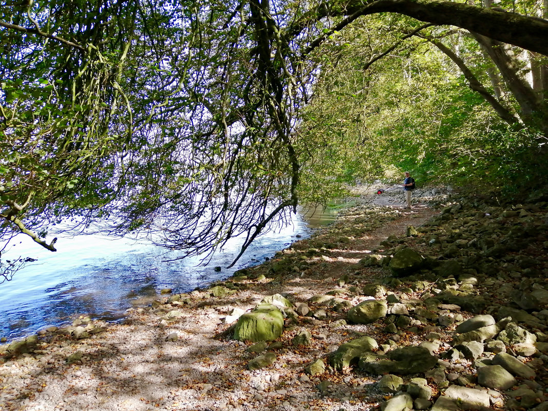
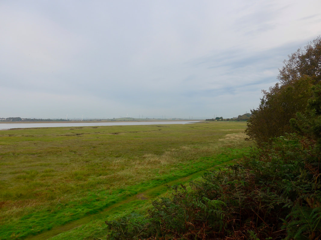
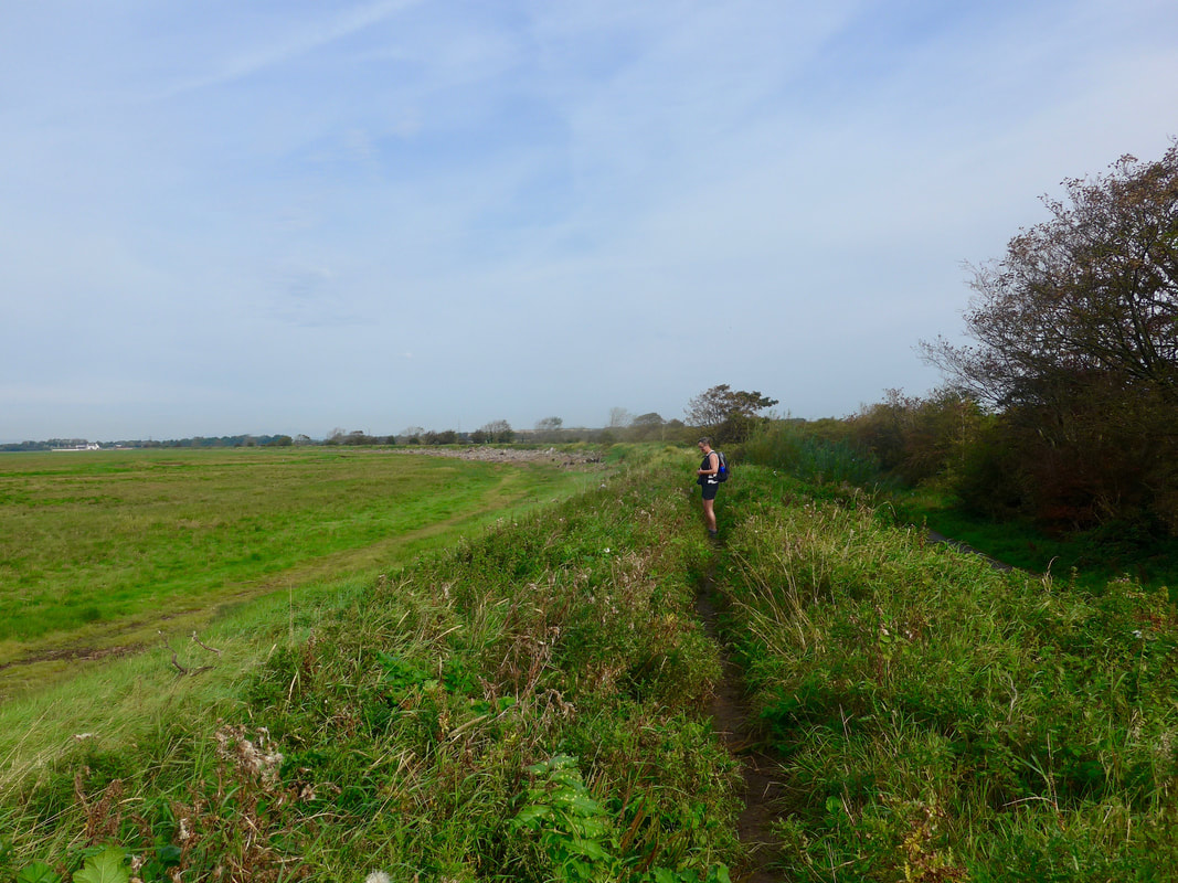
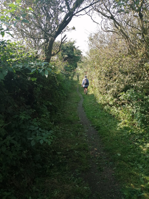
After crossing the marsh the route comes on to a minor road by Lower Saltcoats, the road continuing on up to Carleton Hall. We turned off before the hall to reach the Holme bridge over the Irt. It was a quiet enough road with very little traffic. A track led off the road on to a cross-country section leading to the bridge. Despite the poor weather we enjoyed this part which is a nice woodland walk and the bridge itself and surrounding area arenice. Coming off the bridge the walk continues across arable land to reach a track leading to the B-road that leads in to the village of Drigg.
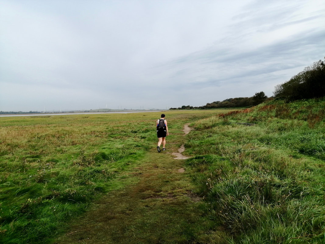
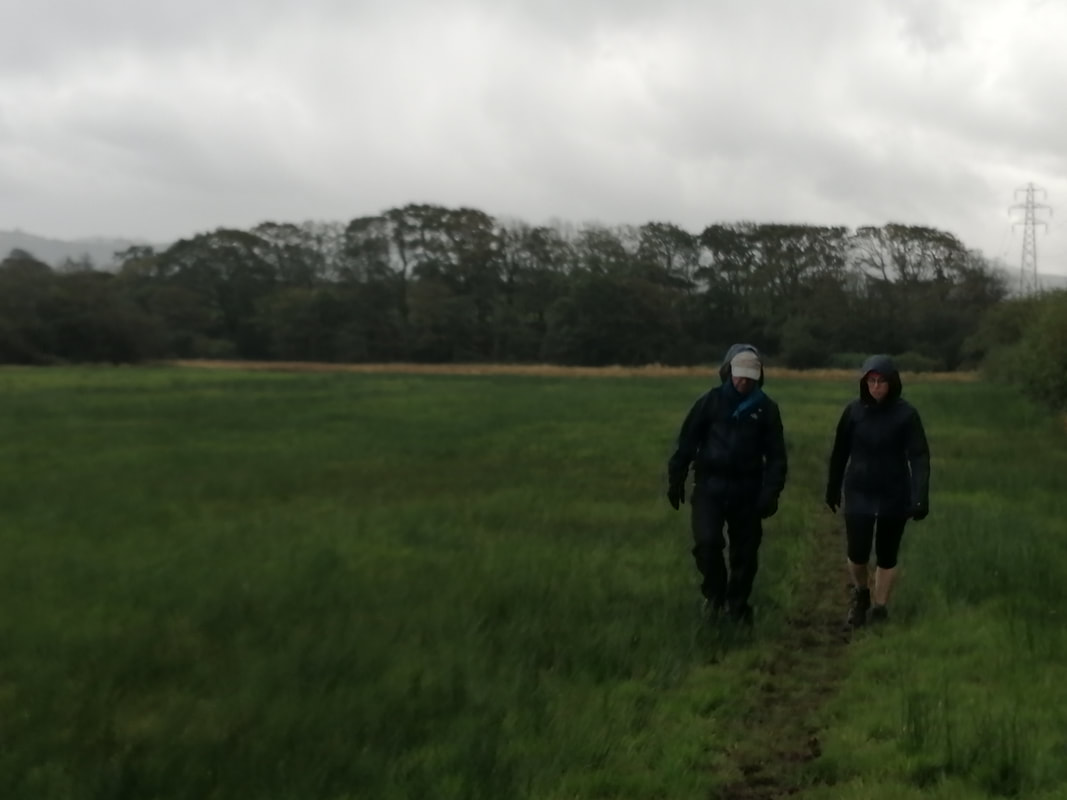 Coming off Holme Bridge
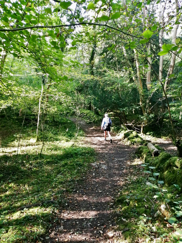
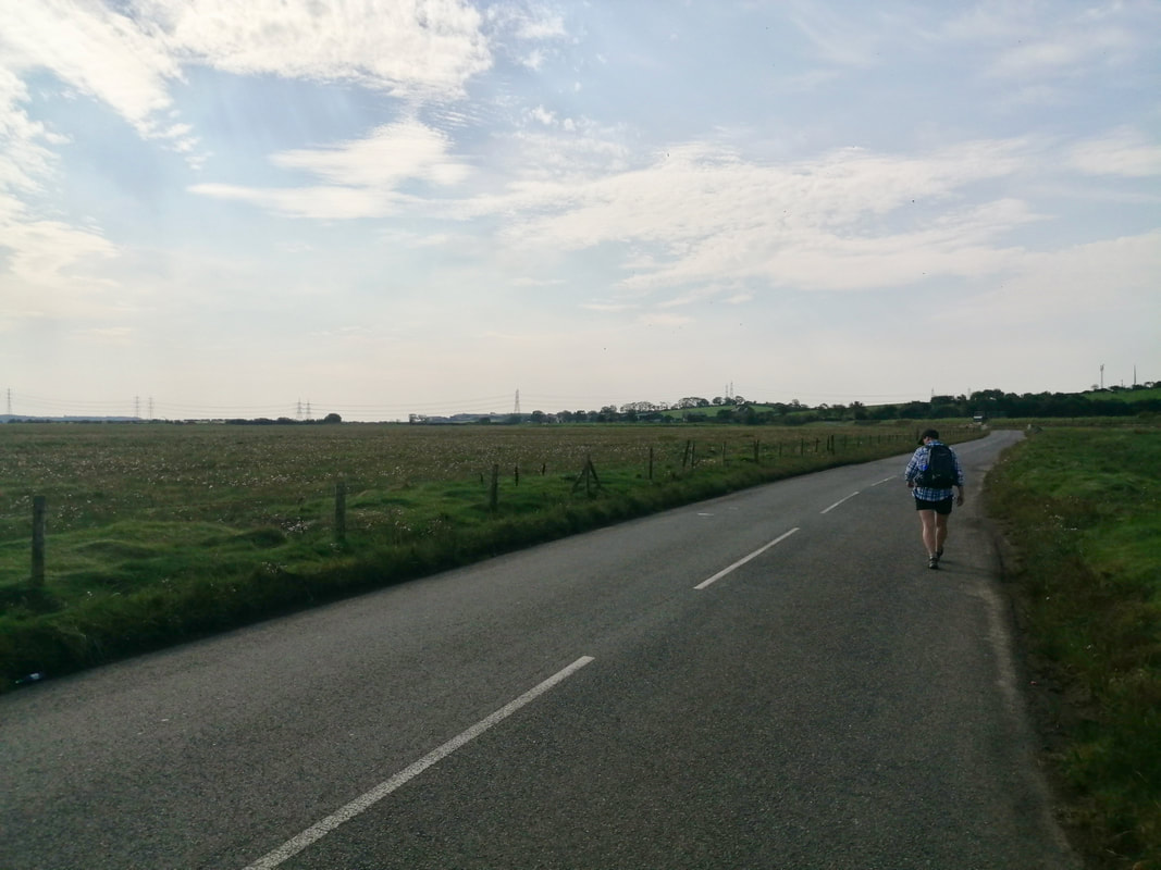
 By now the rain was very heavy and we were all soaked through. The original intention had been to head out to the beach at Drigg and to finish the walk along the coast. However, given the rain and the cold wind we decided to avoid the exposure of the beach and stick to the road for the last couple of miles to Seascale. The camera stayed in the bag for this section as we put the heads down and walked directly into the wind and the rain, offered scant shelter by the hedgerow. The cars speeding by had little consideration for us, splashing up large volumes of water off the road.
If the Gods were with you and the pieces of tide, weather and firing times on the range fell in to place, this would be a very nice walk. Despite the gloom and the heavy rain we did enjoy parts but by the latter end it would be fair to say we were pretty miserable and more than happy to finish.
If the Gods were with you and the pieces of tide, weather and firing times on the range fell in to place, this would be a very nice walk. Despite the gloom and the heavy rain we did enjoy parts but by the latter end it would be fair to say we were pretty miserable and more than happy to finish.


 RSS Feed
