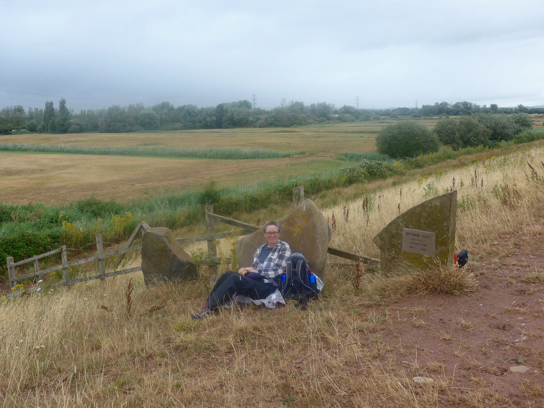
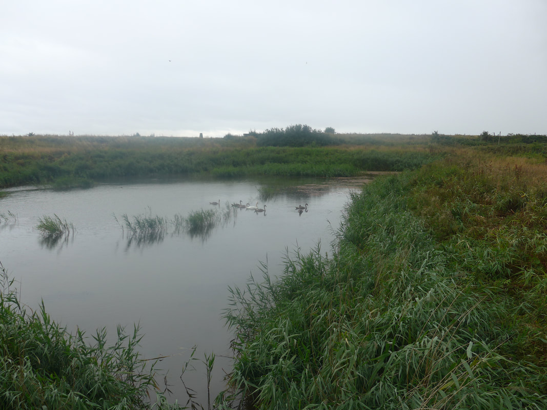
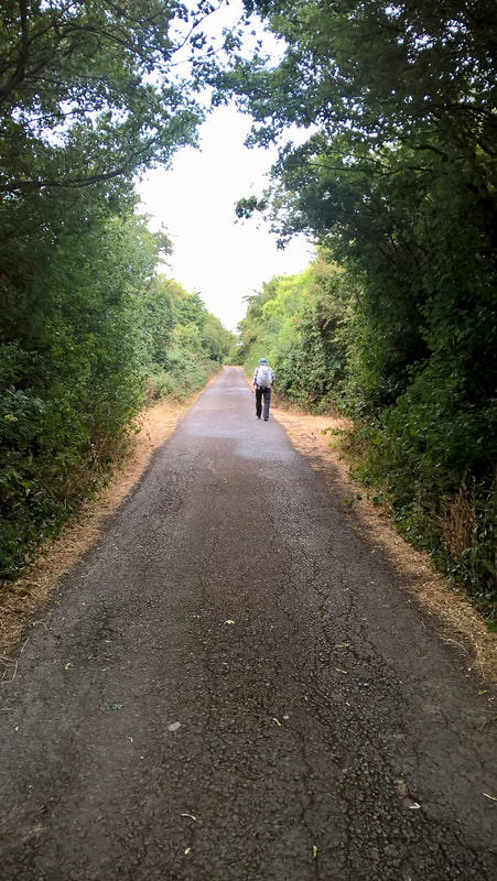
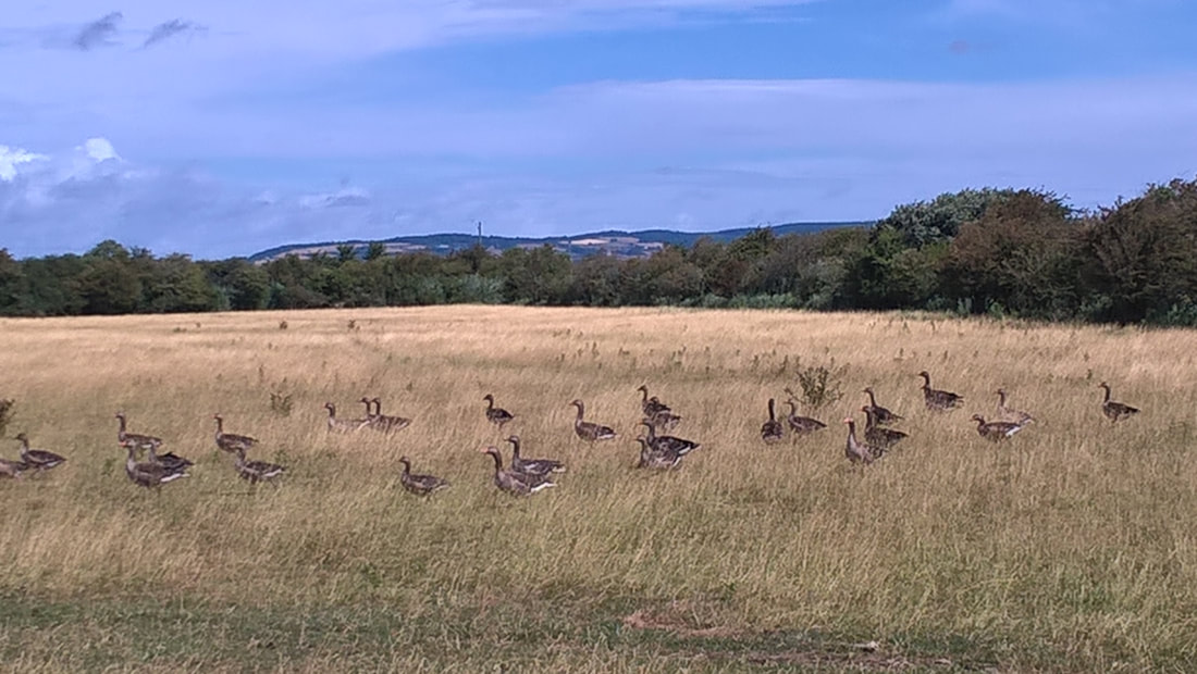
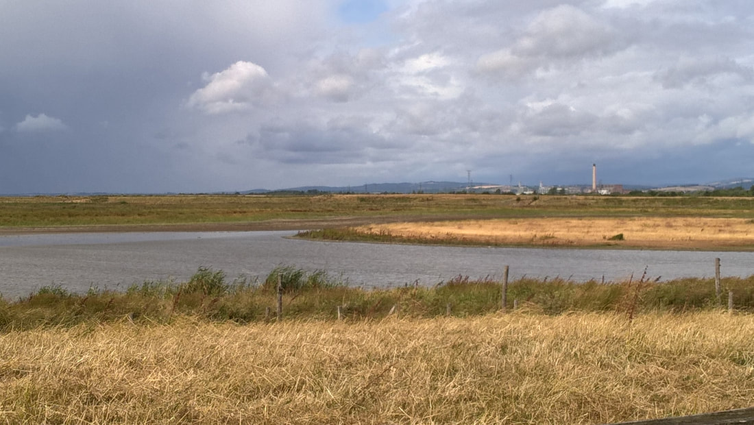
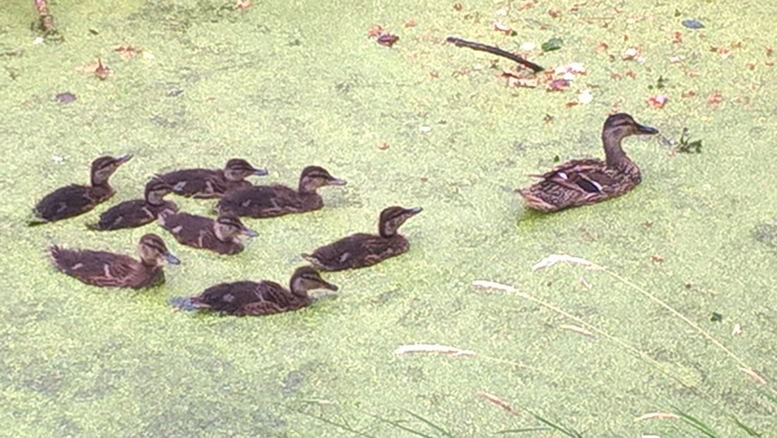
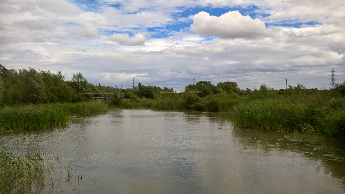
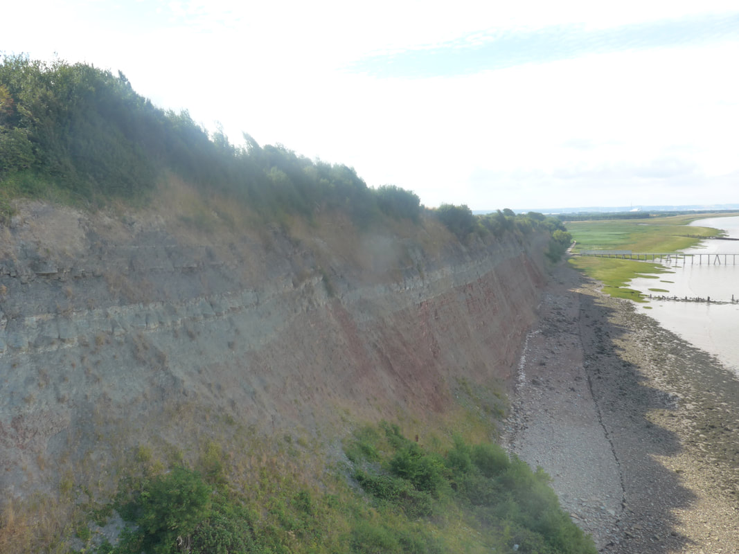
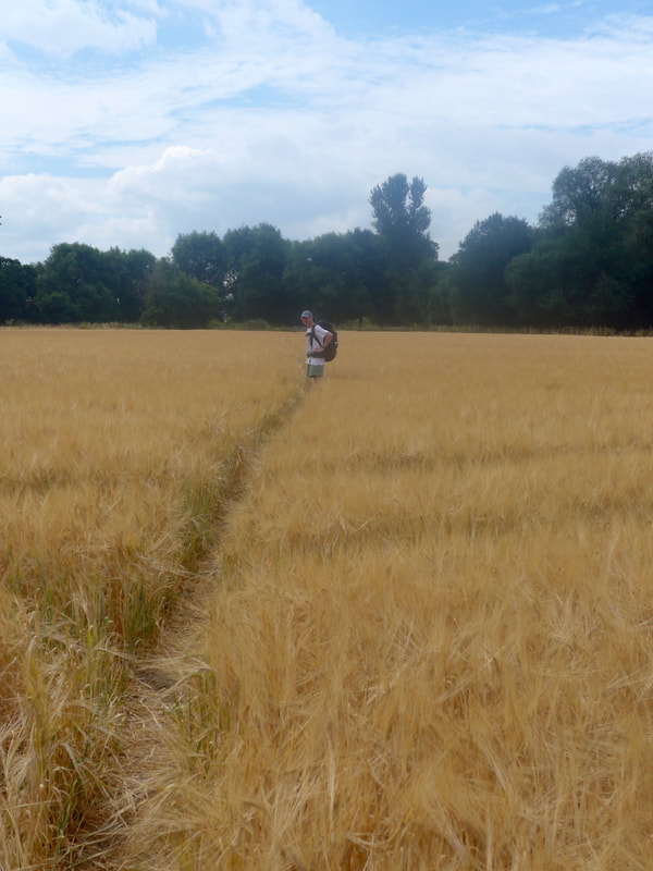
With Joanna Elizabeth, yesterday's walk turned out to be twenty miles, much longer than we expected. In part, it was because we decided to walk right round the Newport Wetlands Nature Reserve, which covers an impressive amount of land. We had a few showers along the way but nothing like the forecast.
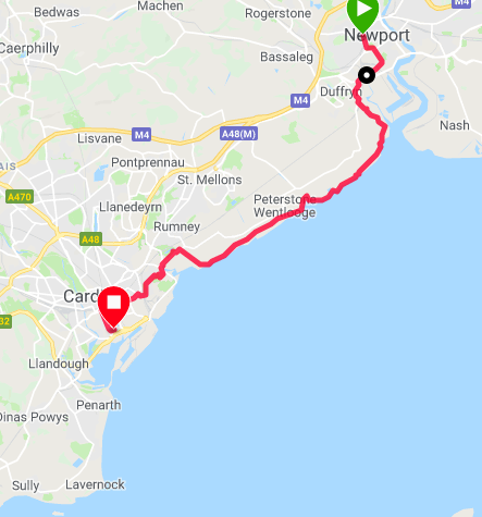
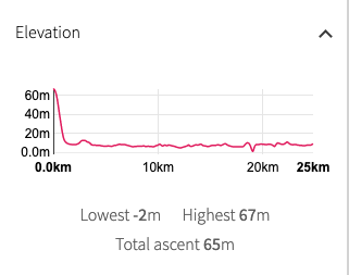
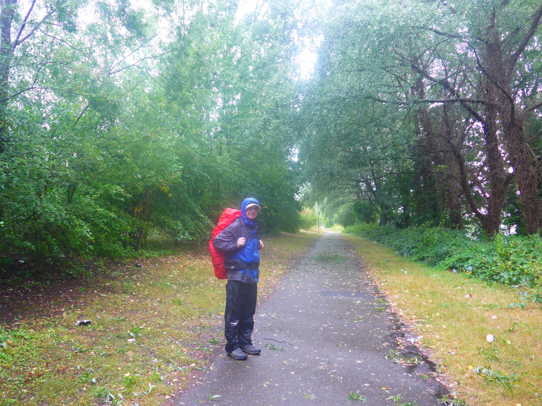
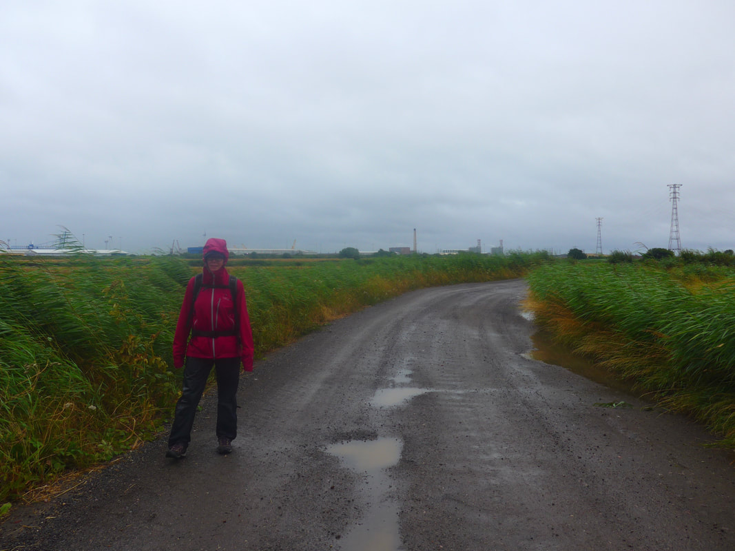
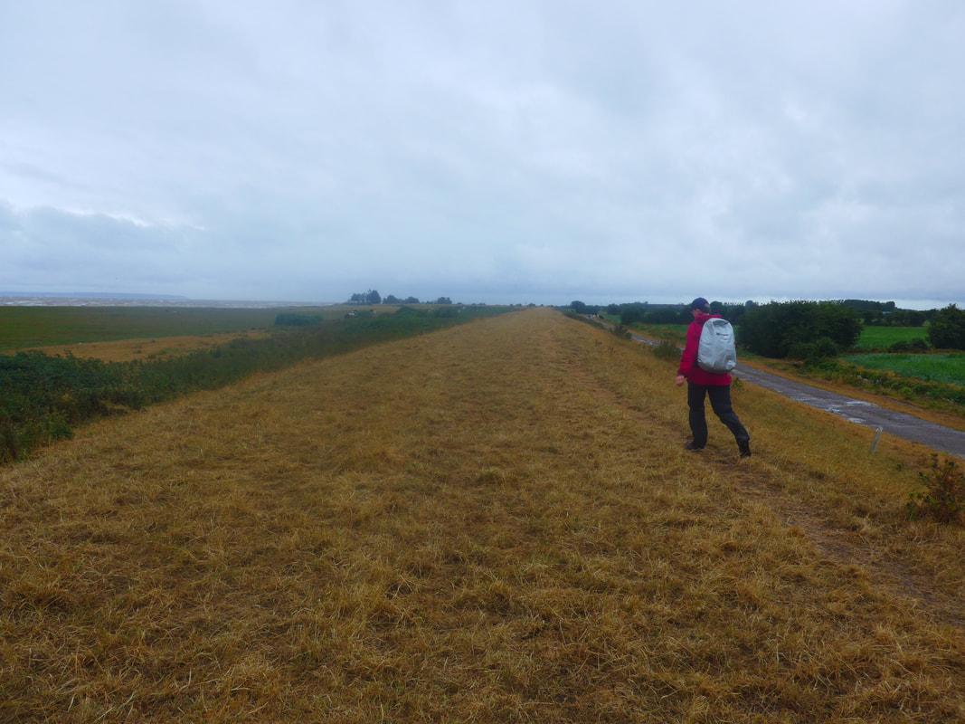
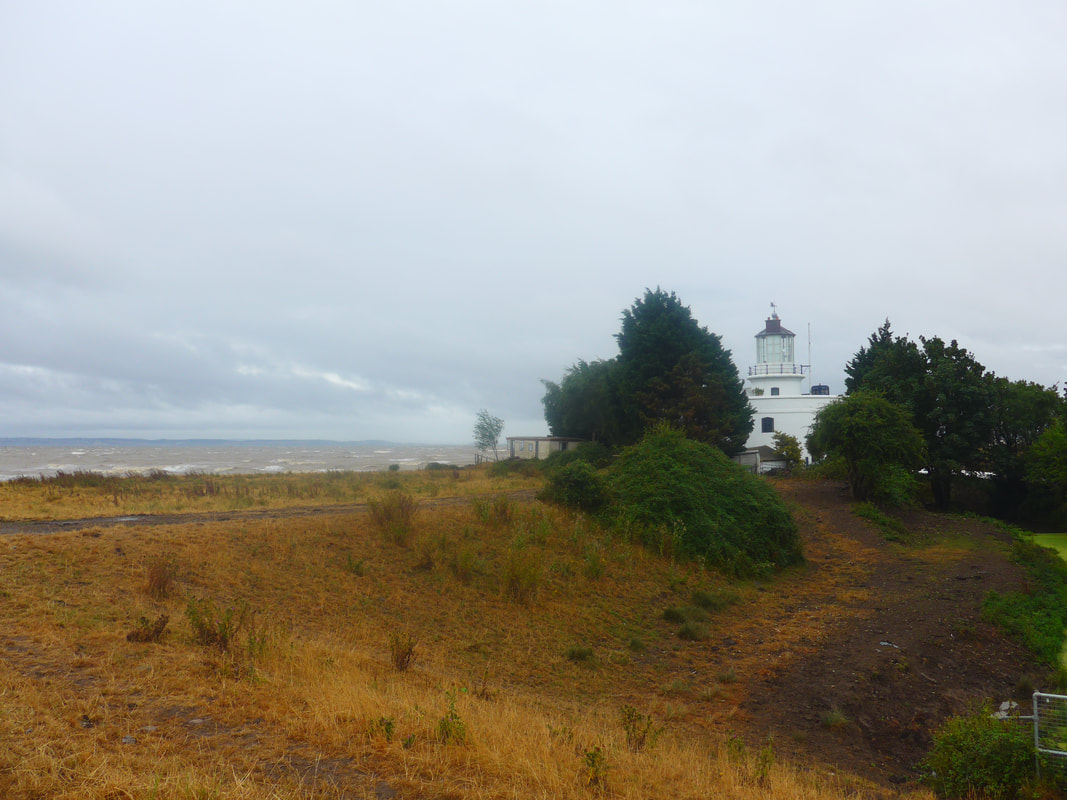
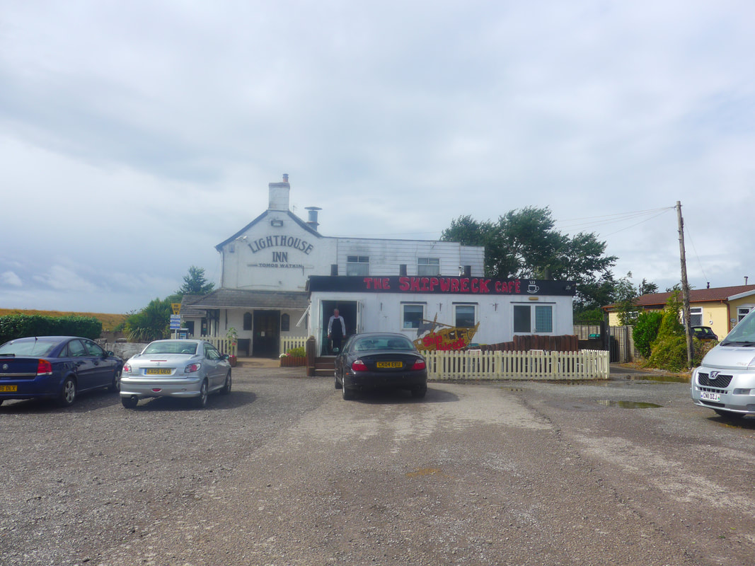
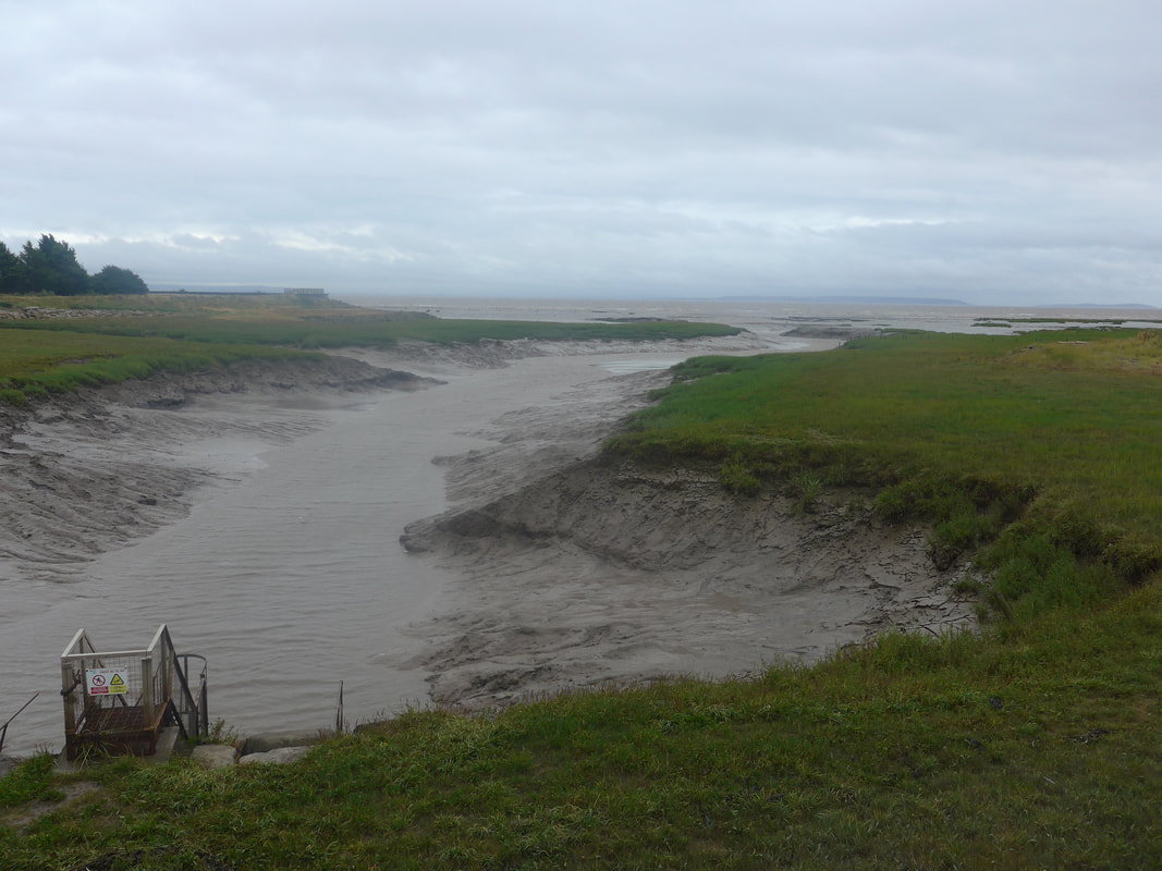
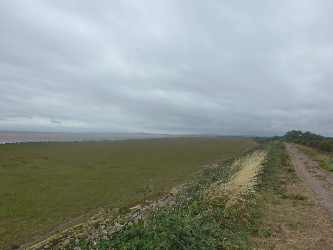
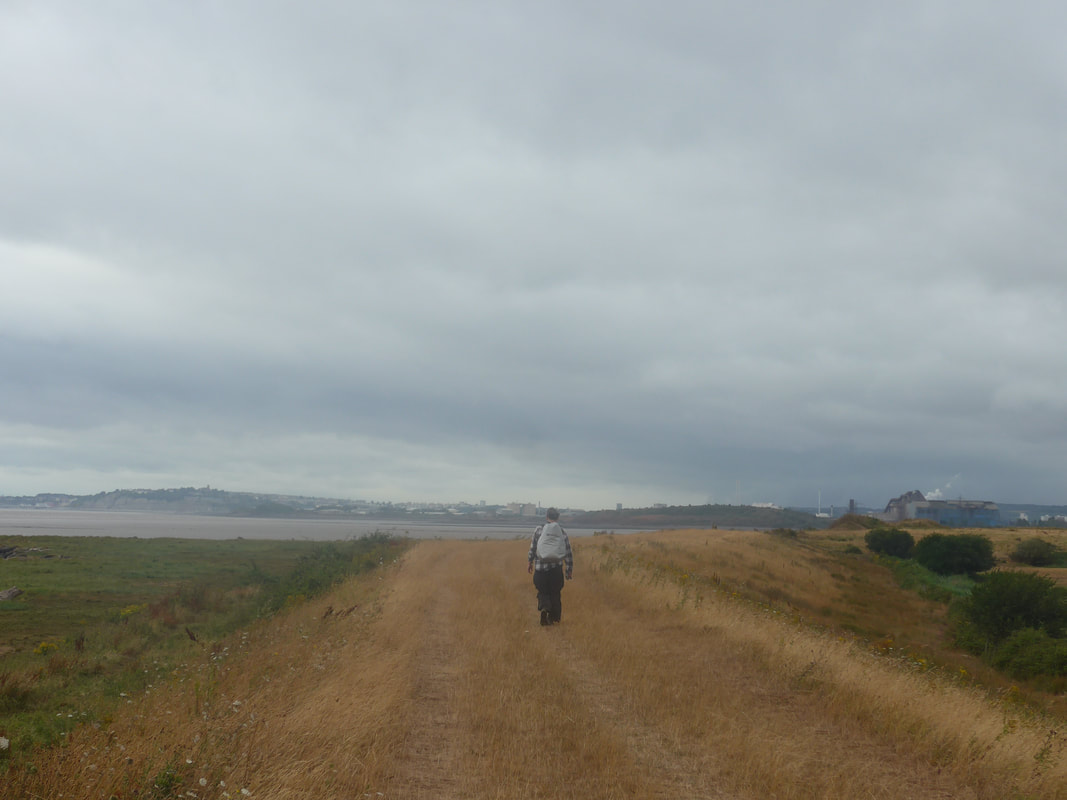
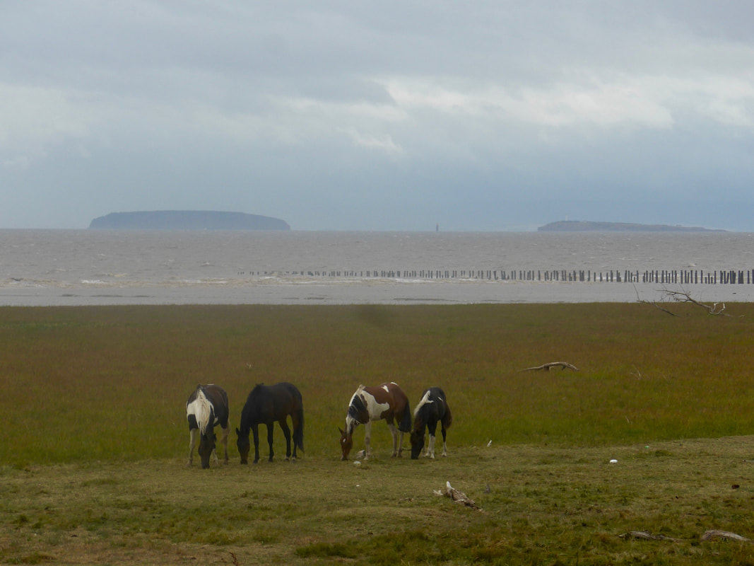
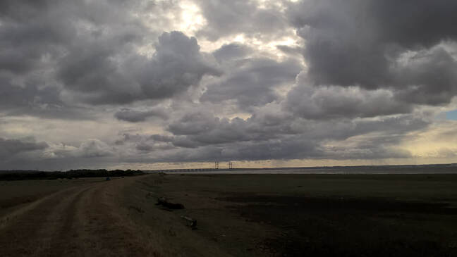
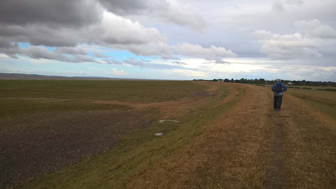
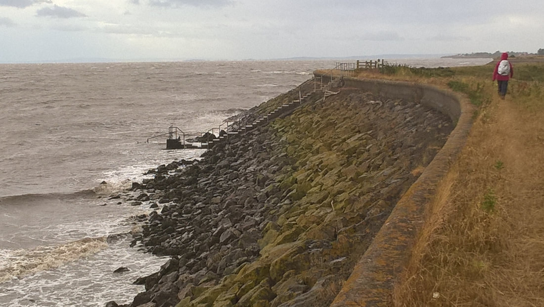
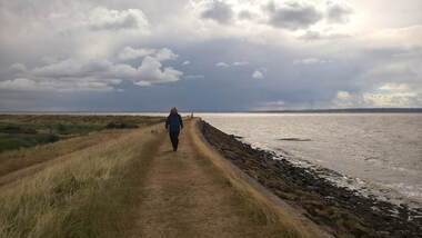
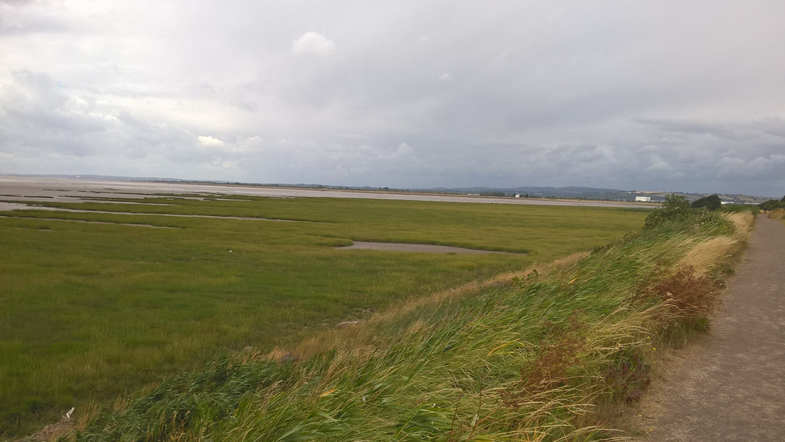
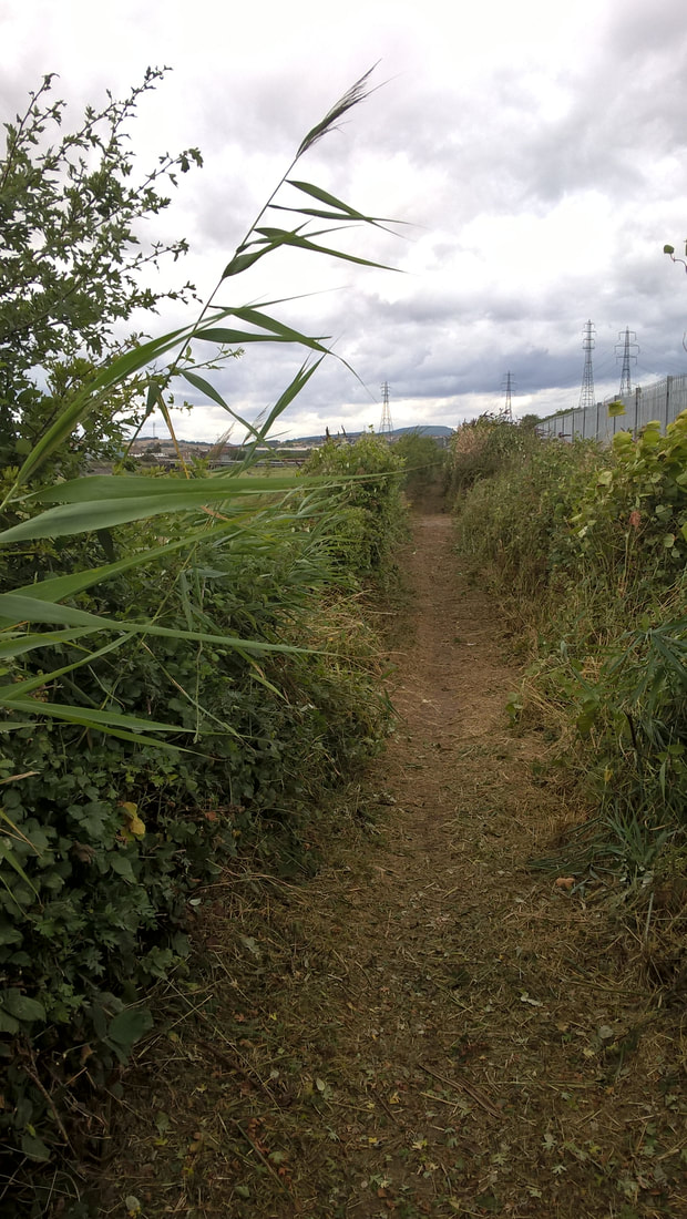
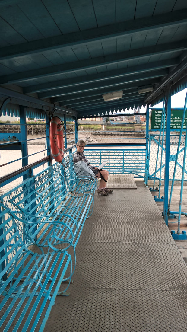
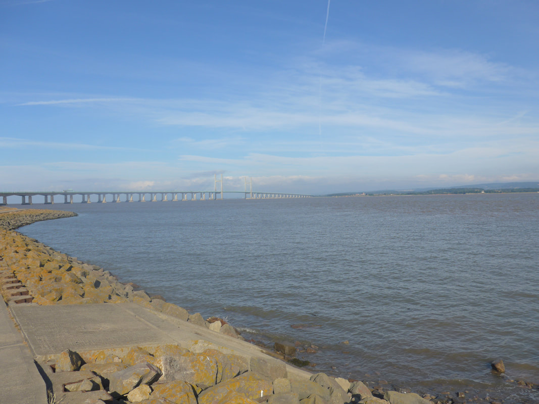
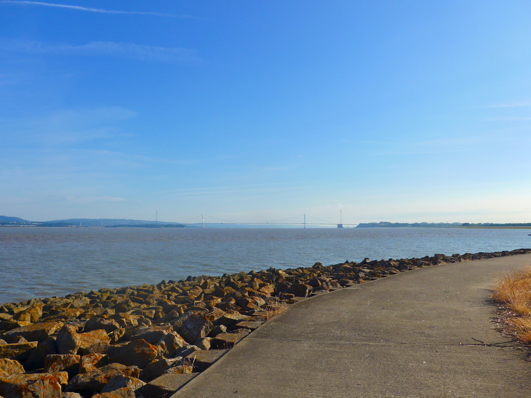
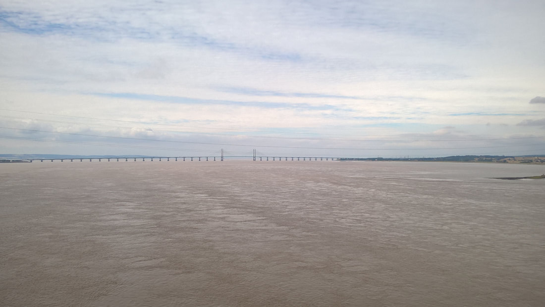
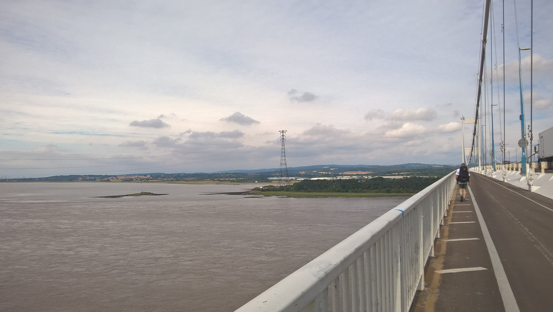
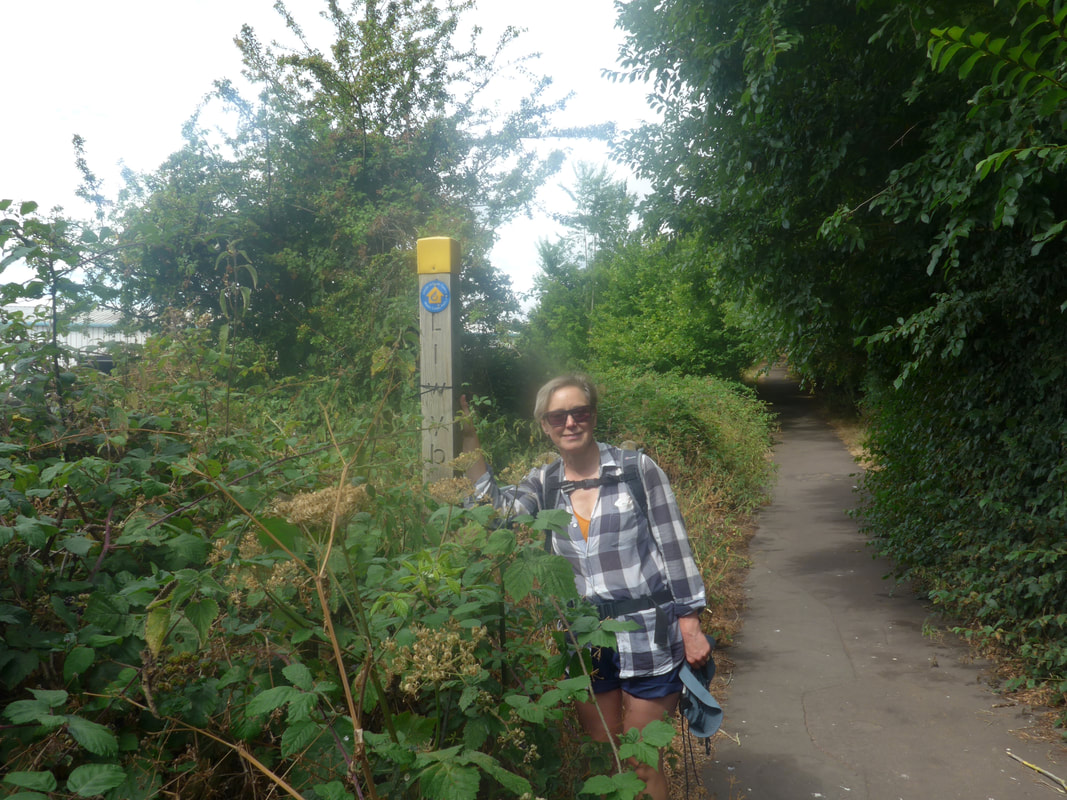
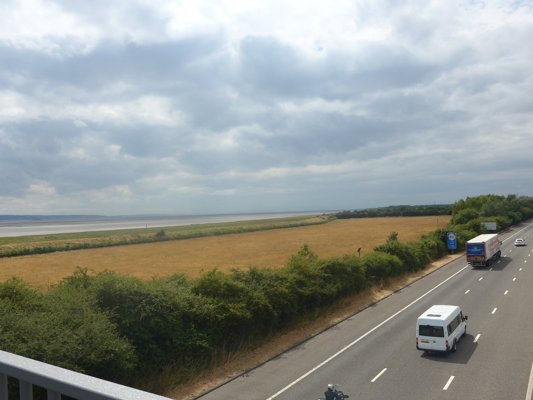
Today's hike will see us drop down to the mouth of the River Usk before following the seawall to Cardiff. We estimate sixteen miles but suspect longer. The weather forecast is poor, with thunderstorms and strong wind. It is already blowy and raining, so waterproofs likely for most of the day. Our route in to Cardiff takes us to where will catch the bus to go to the airport for an 8.00pm flight. There is a good chance we will be wet and bedraggled!
Today's hike will see us drop down to the mouth of the River Usk before following the seawall to Cardiff. We estimate sixteen miles but suspect longer. The weather forecast is poor, with thunderstorms and strong wind. It is already blowy and raining, so waterproofs likely for most of the day. Our route in to Cardiff takes us to where will catch the bus to go to the airport for an 8.00pm flight. There is a good chance we will be wet and bedraggled!


 RSS Feed
