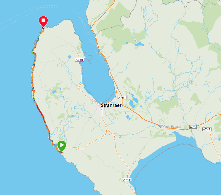
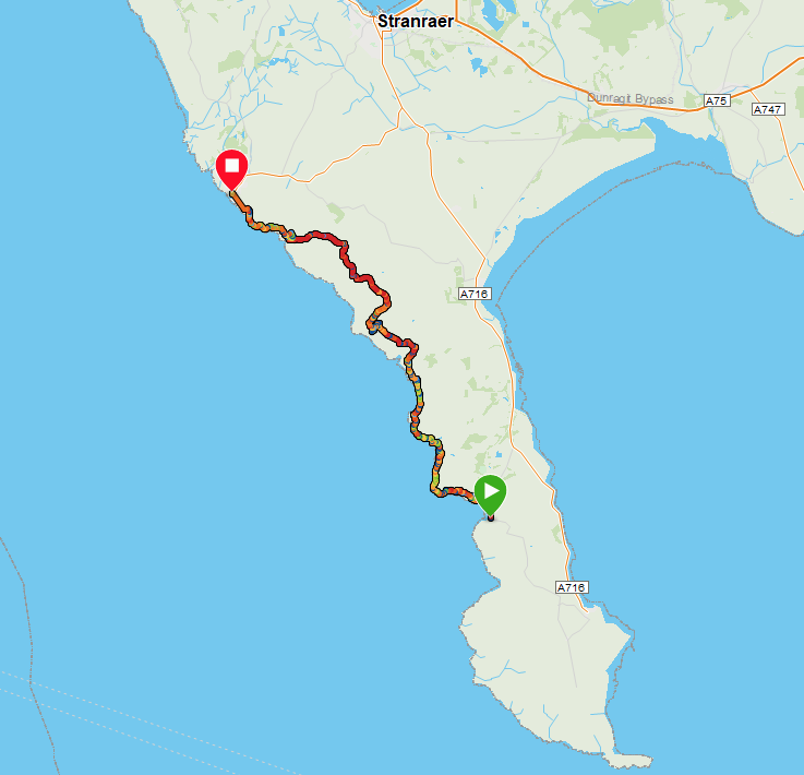
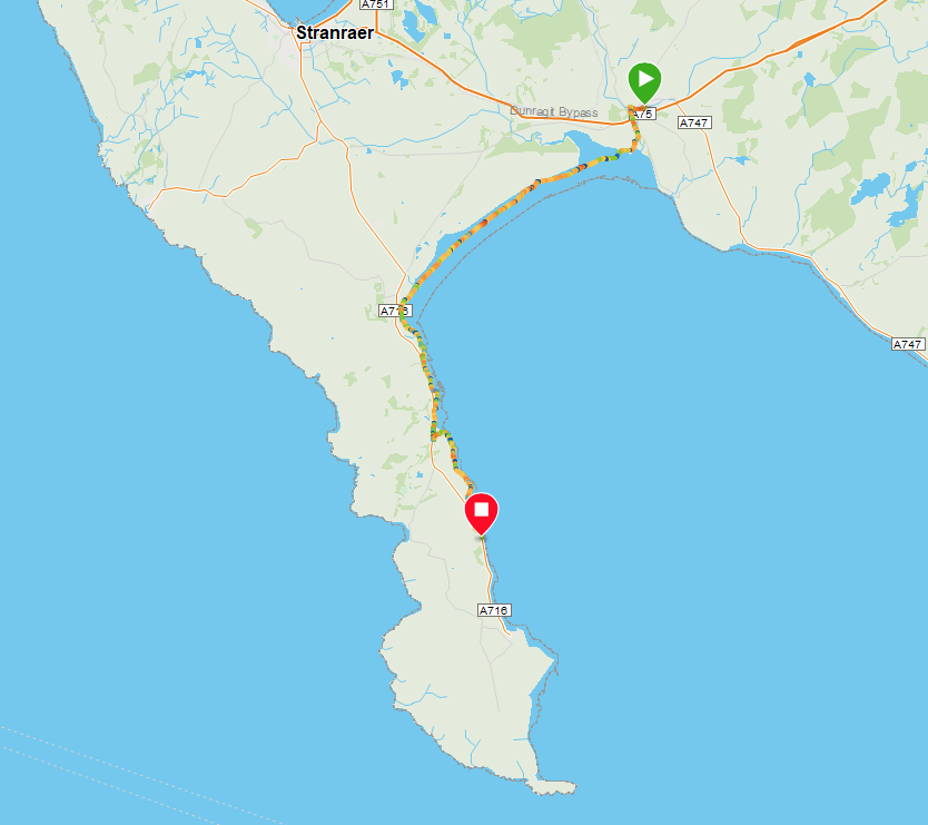
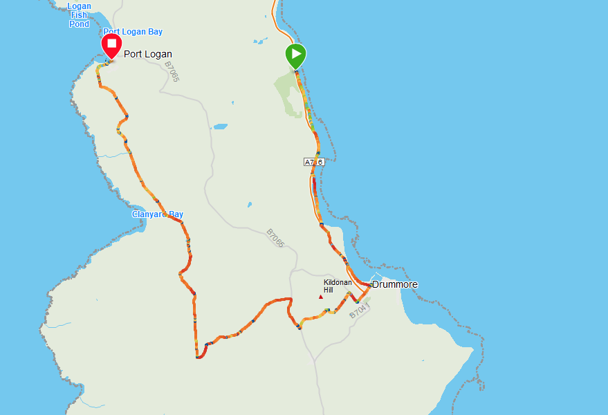
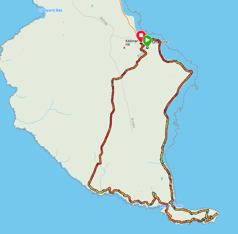
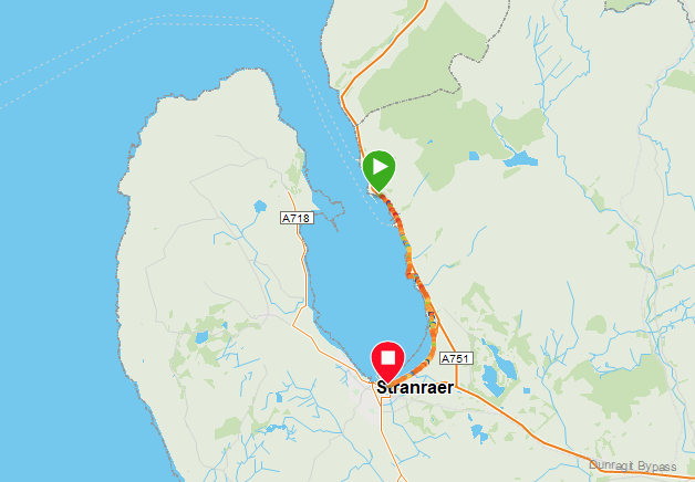
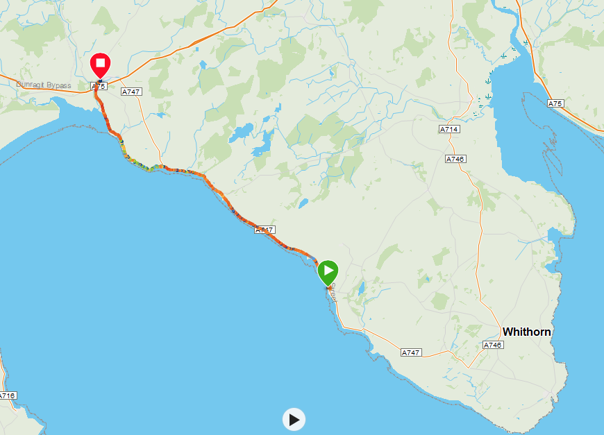
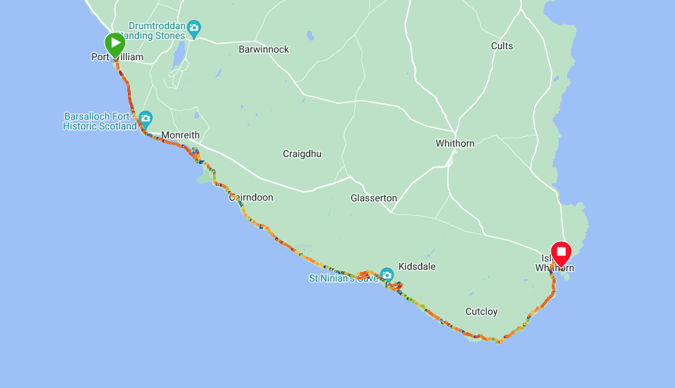
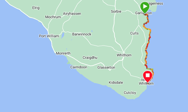
Route Map
Route Markers: Port Mora - Ouchtriemakain Moor - Catebraid Headland - Black Head - Killantringan Bay - Knock Bay - Broadsea Bay - Salt Pans Bay (1 of 3) - Galdenoch Moor - Salt Pan Bay - Laggan Hill - Gennoch Rocks - Barrack Point - Corsewall Point - Corsewall Lighthouse
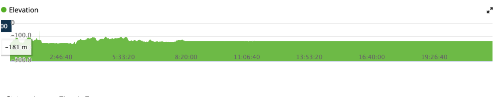
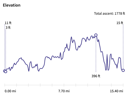
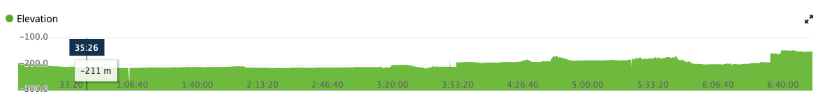
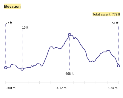
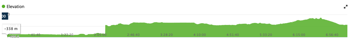
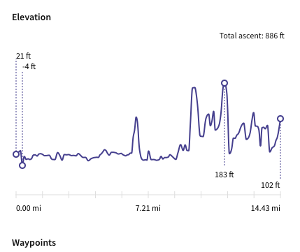
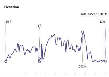
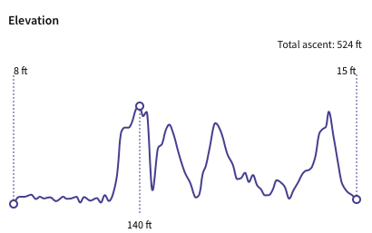
Elevation
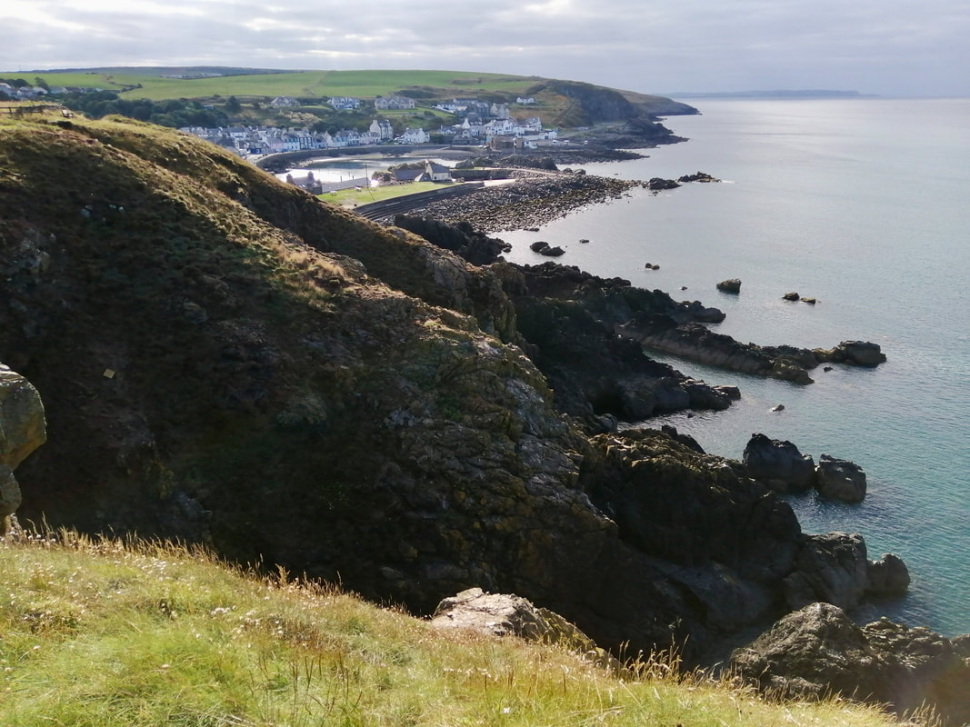
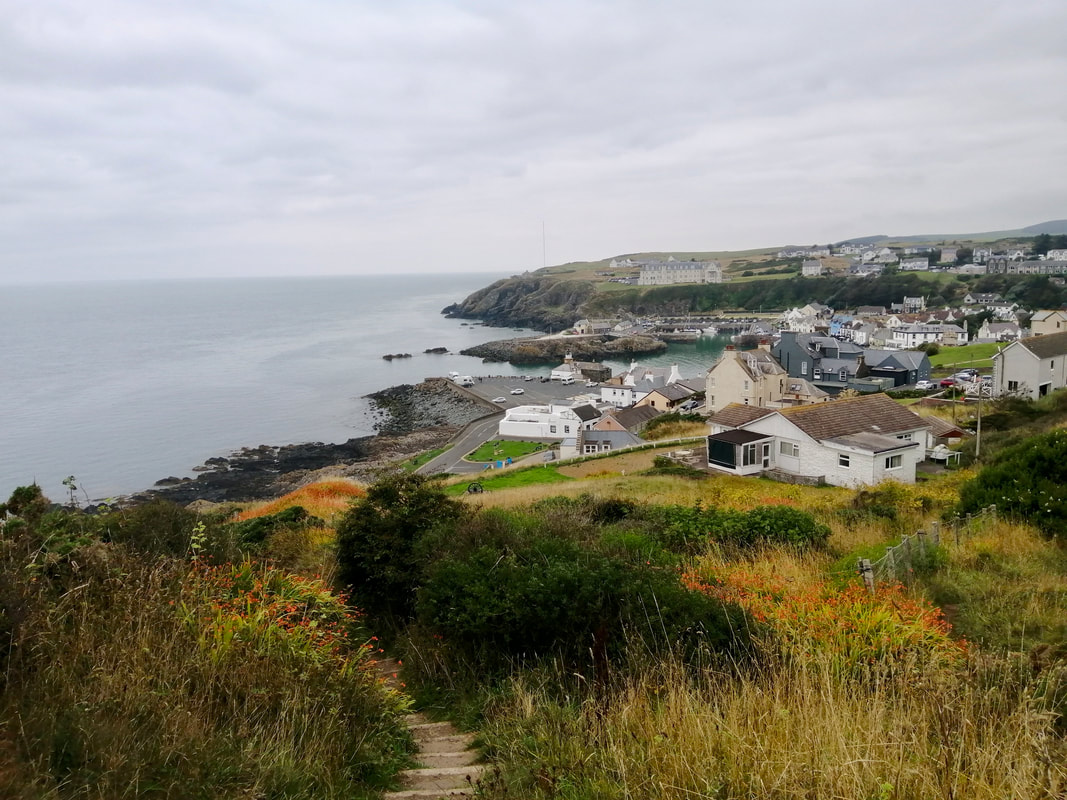
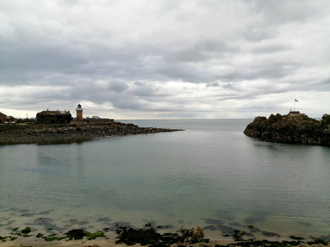
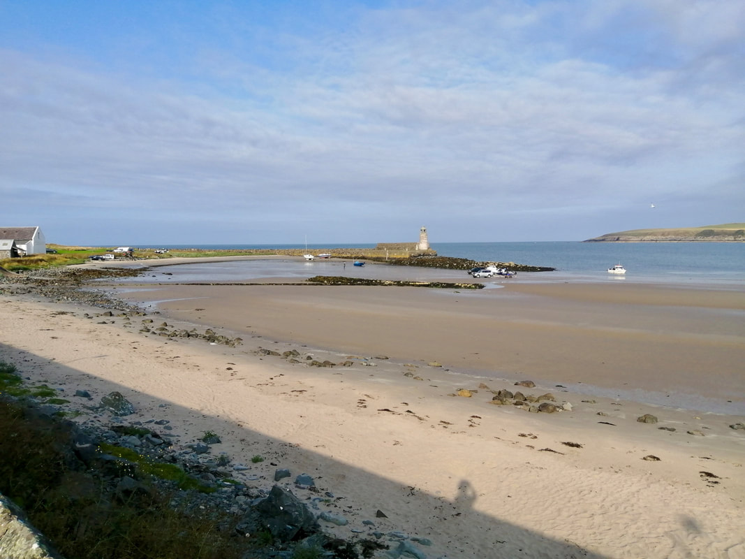
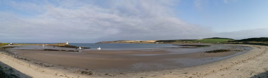
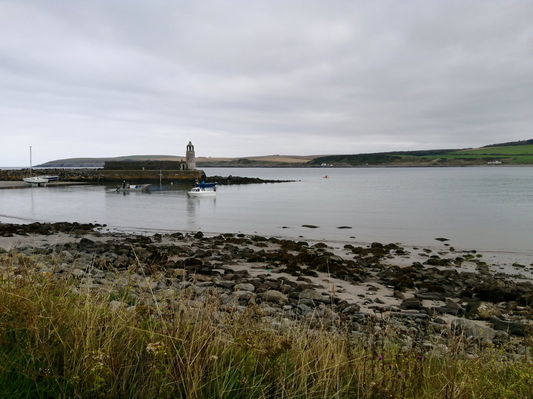
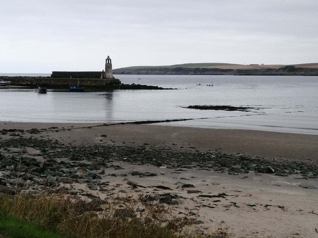
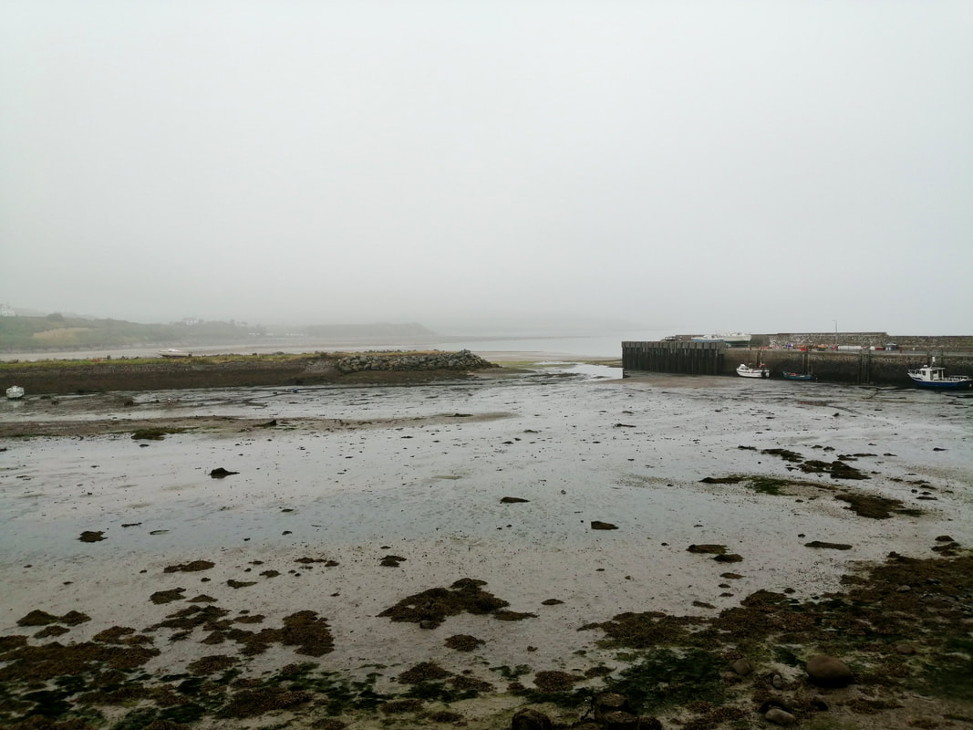
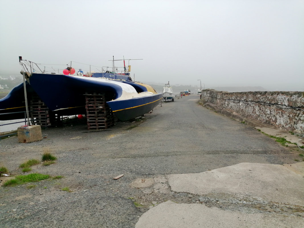
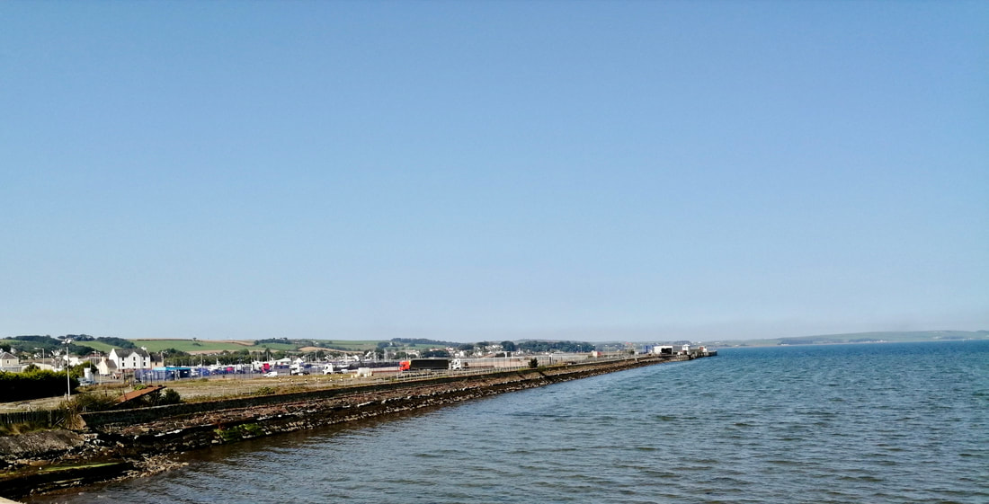
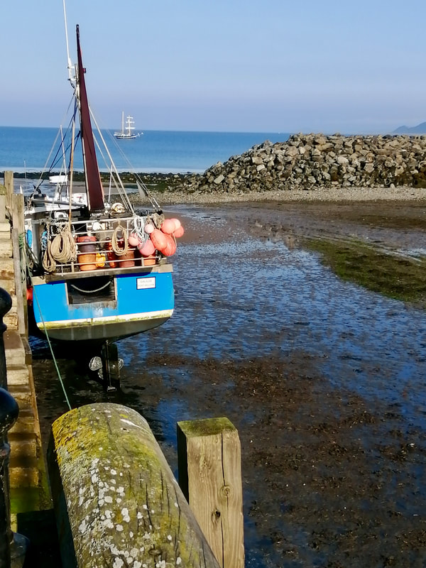
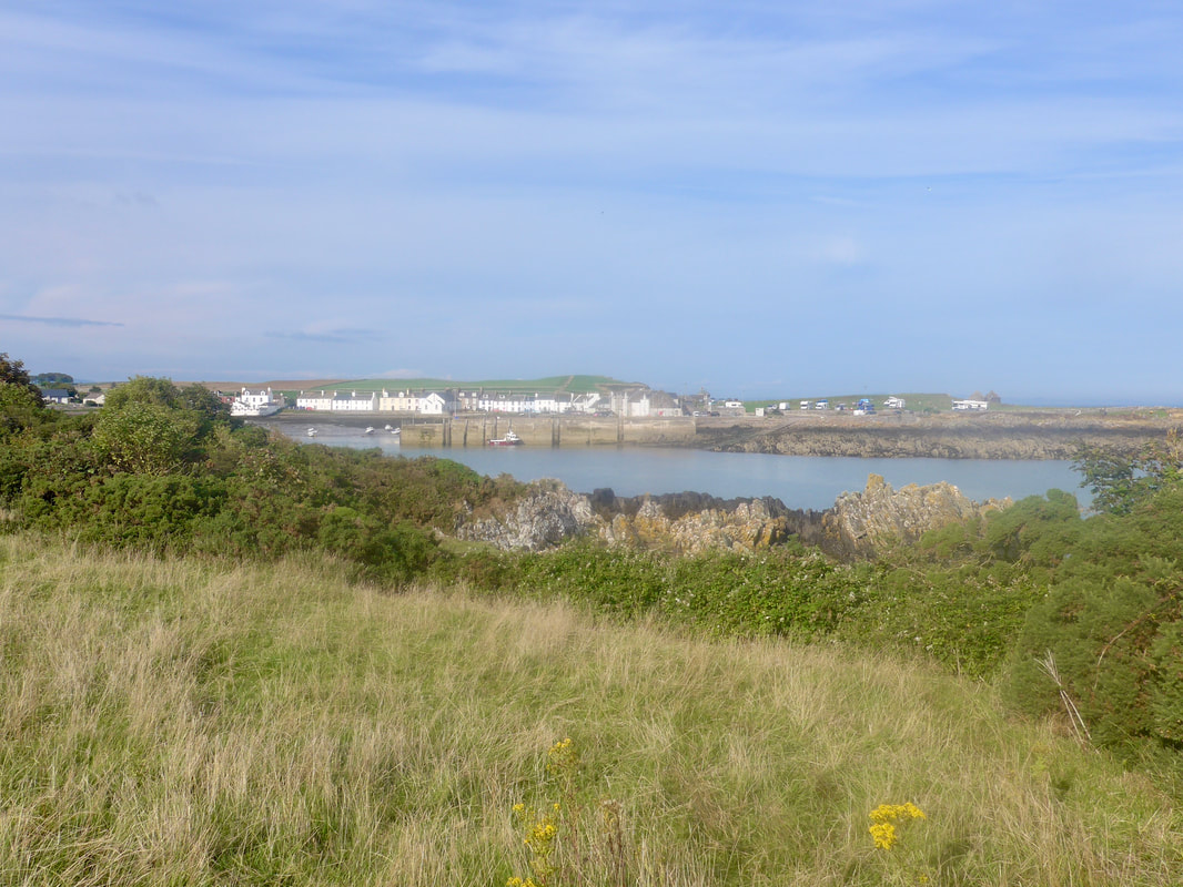
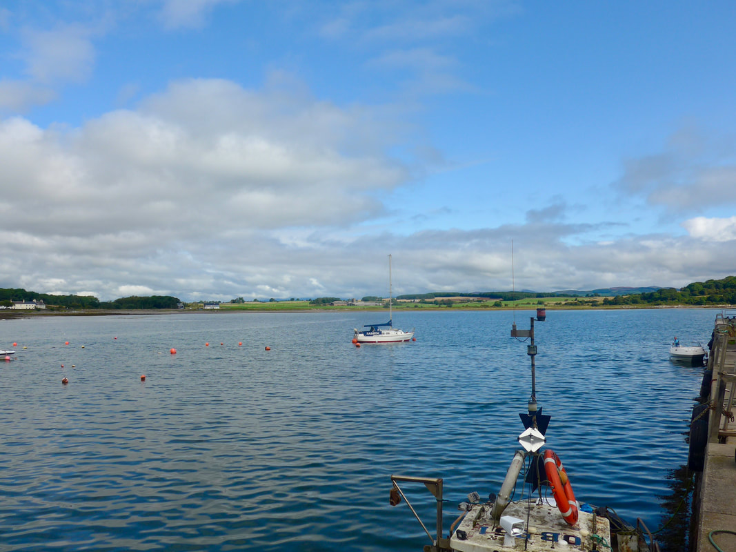
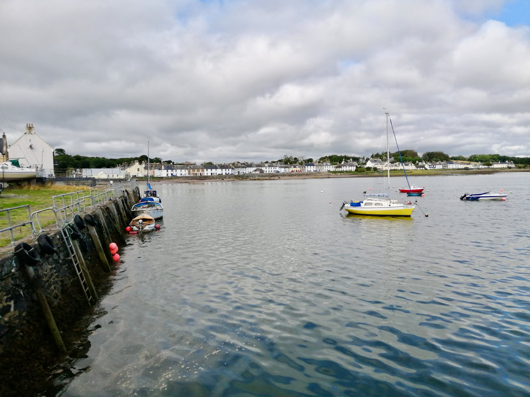
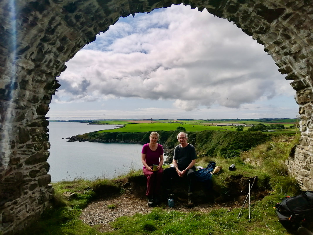
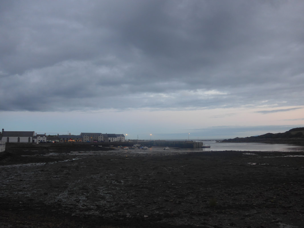
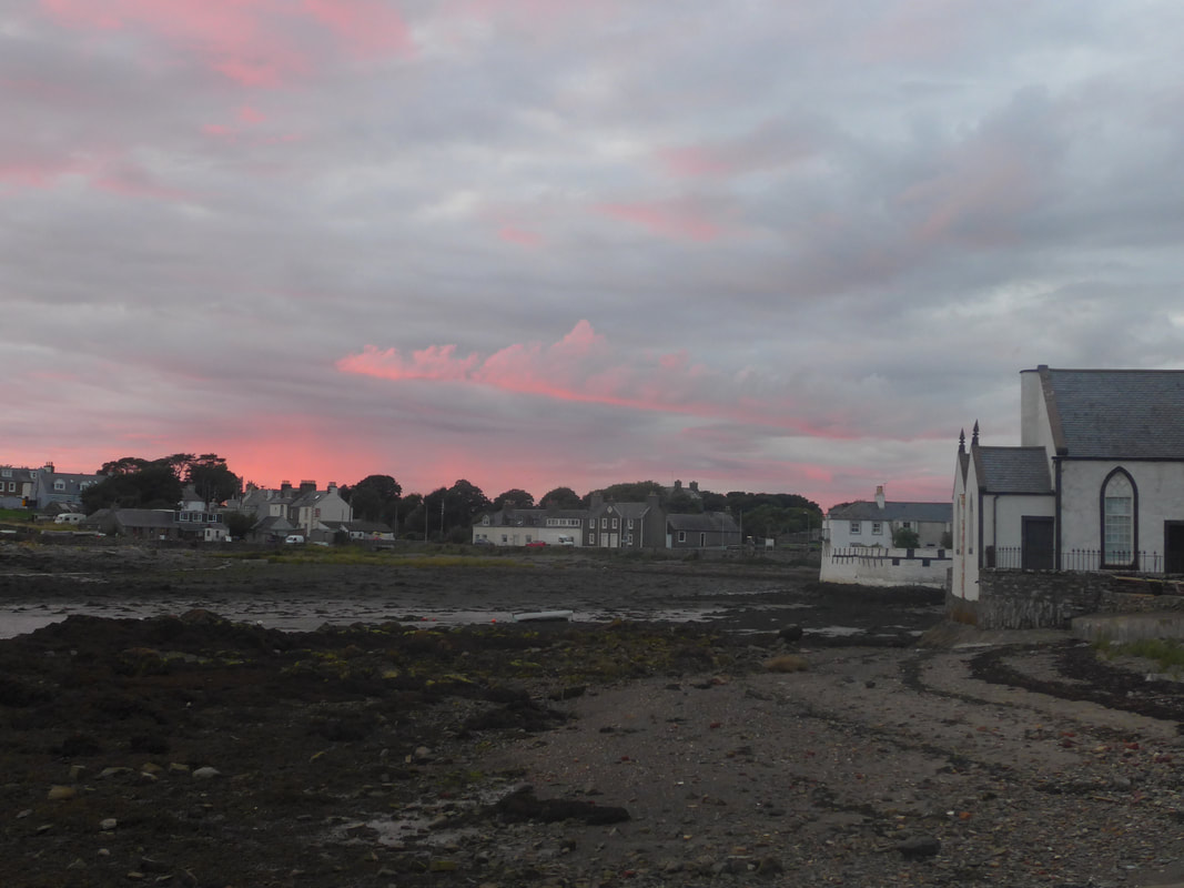
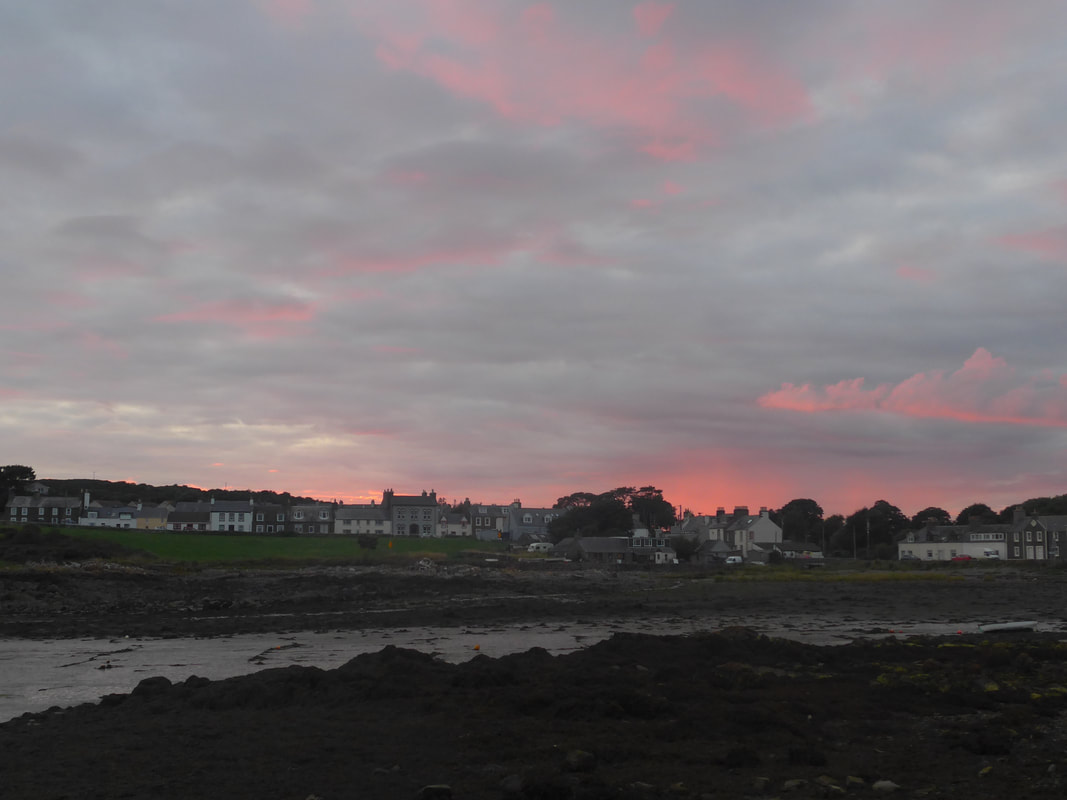
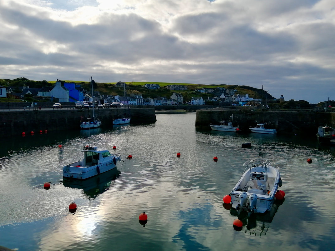 Port Patrick Harbour
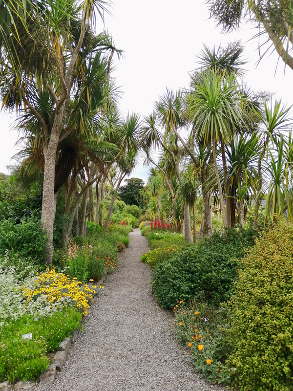
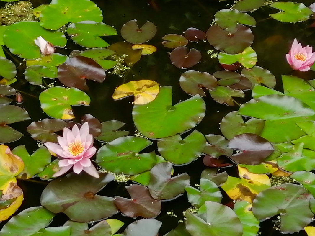
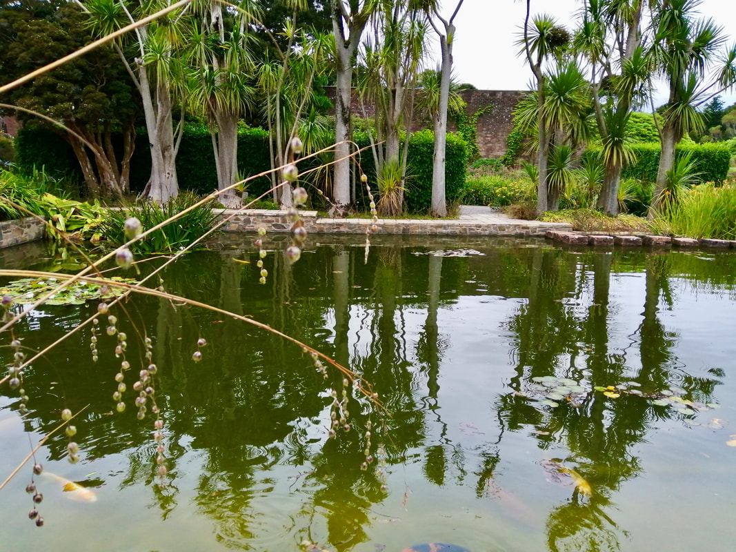
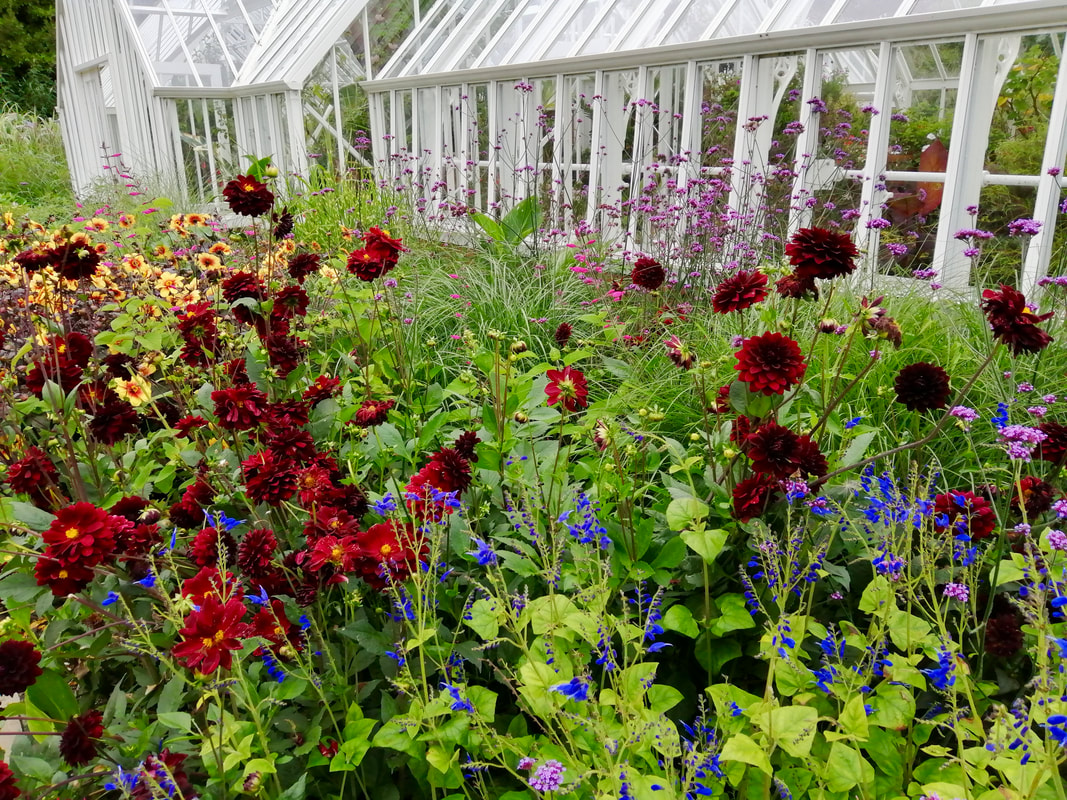
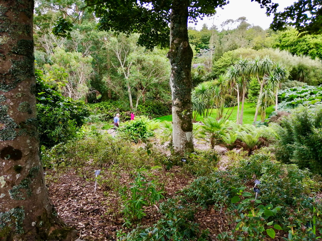
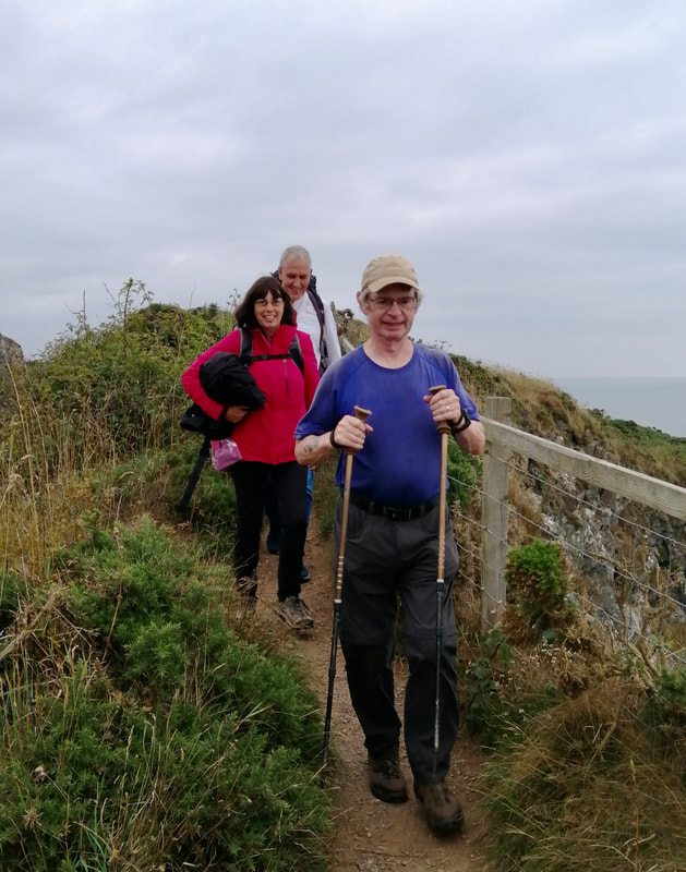
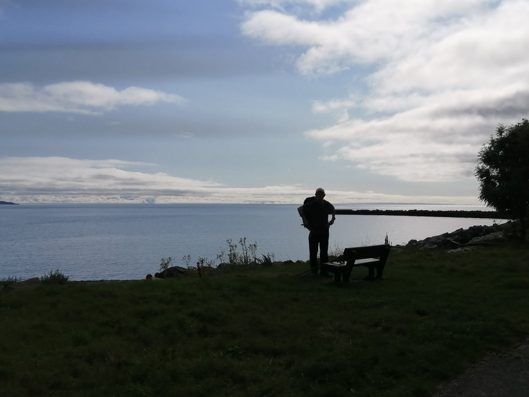
 We enjoyed a nice day off yesterday which we spent with friends visiting Logan House Botanical Garden. Rested and recuperated we were keen to get walking as we had looked forward to this walk for some time.
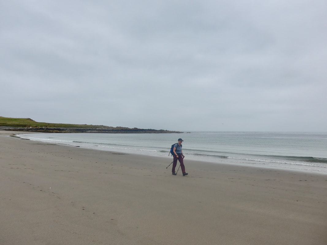
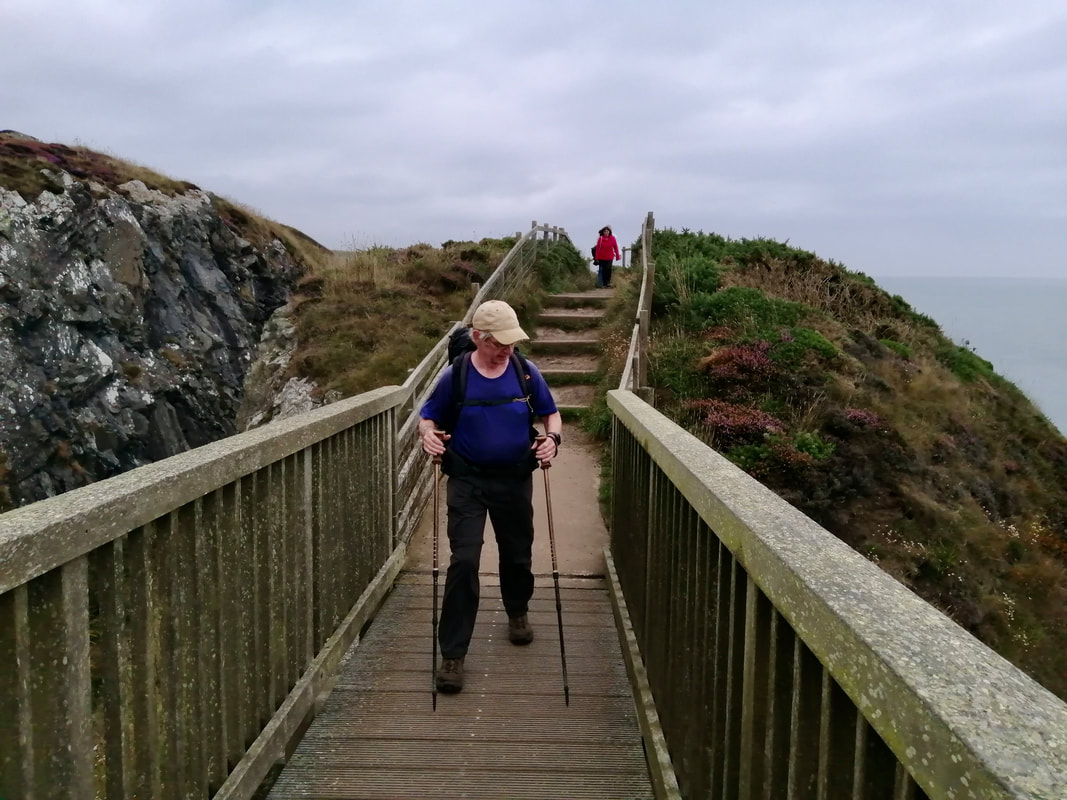
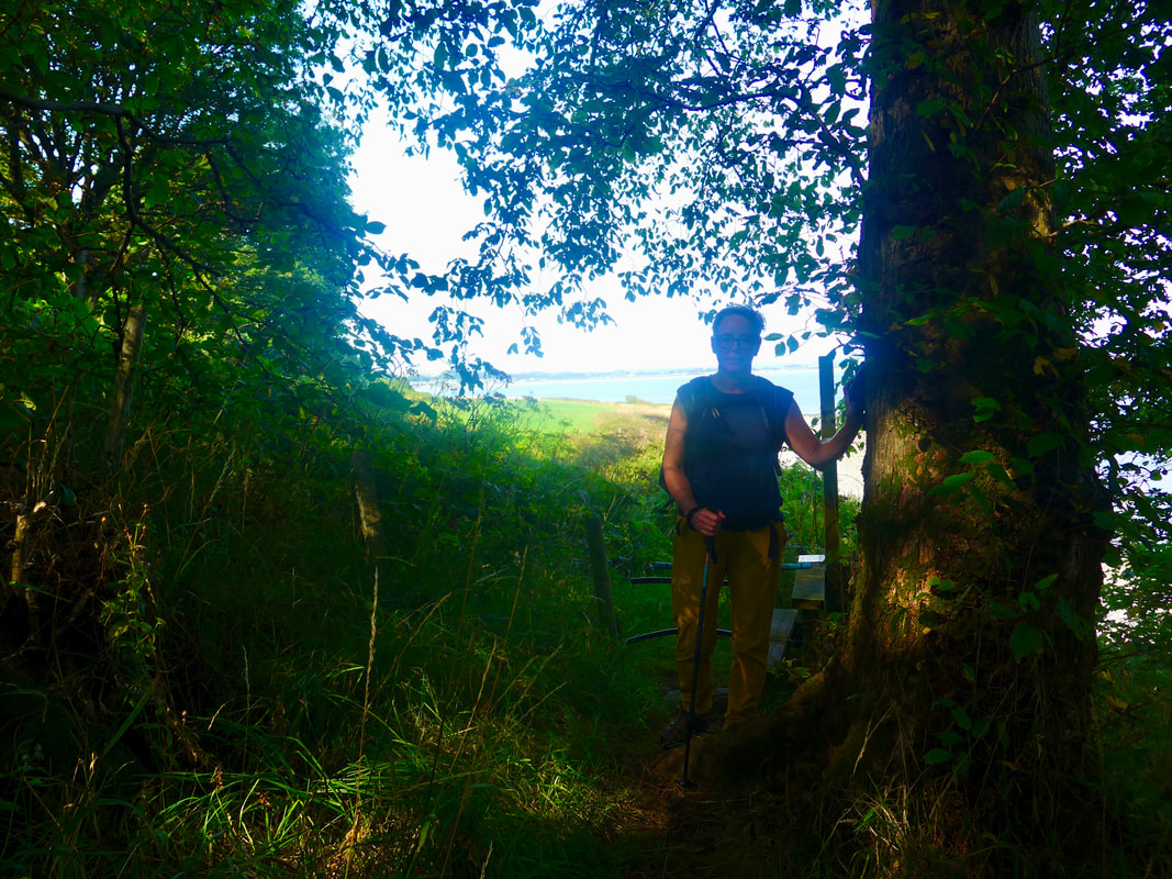
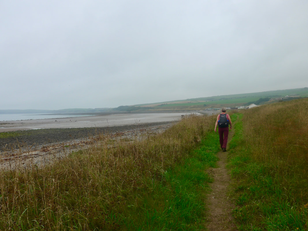
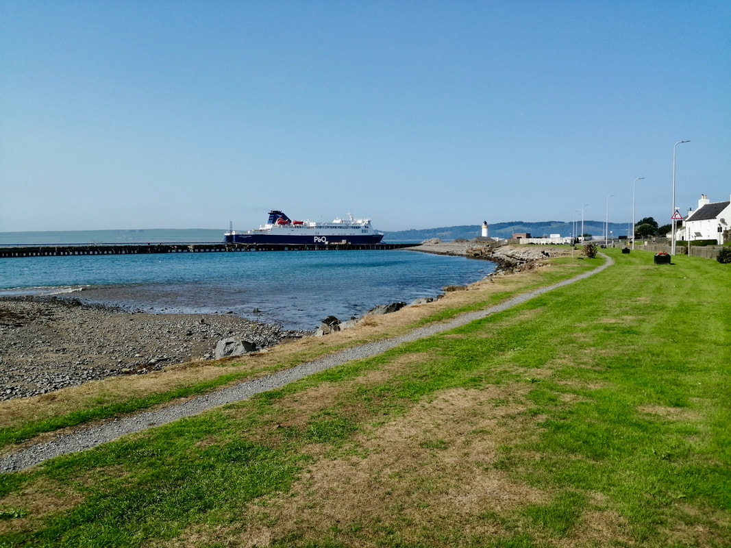
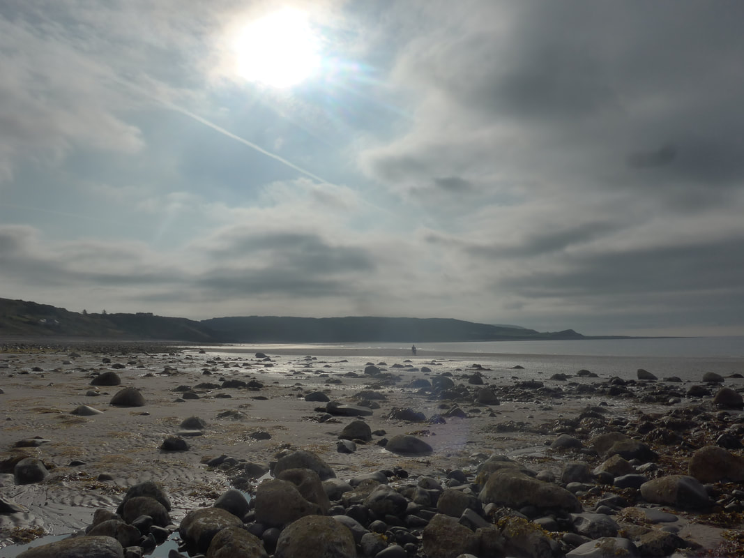
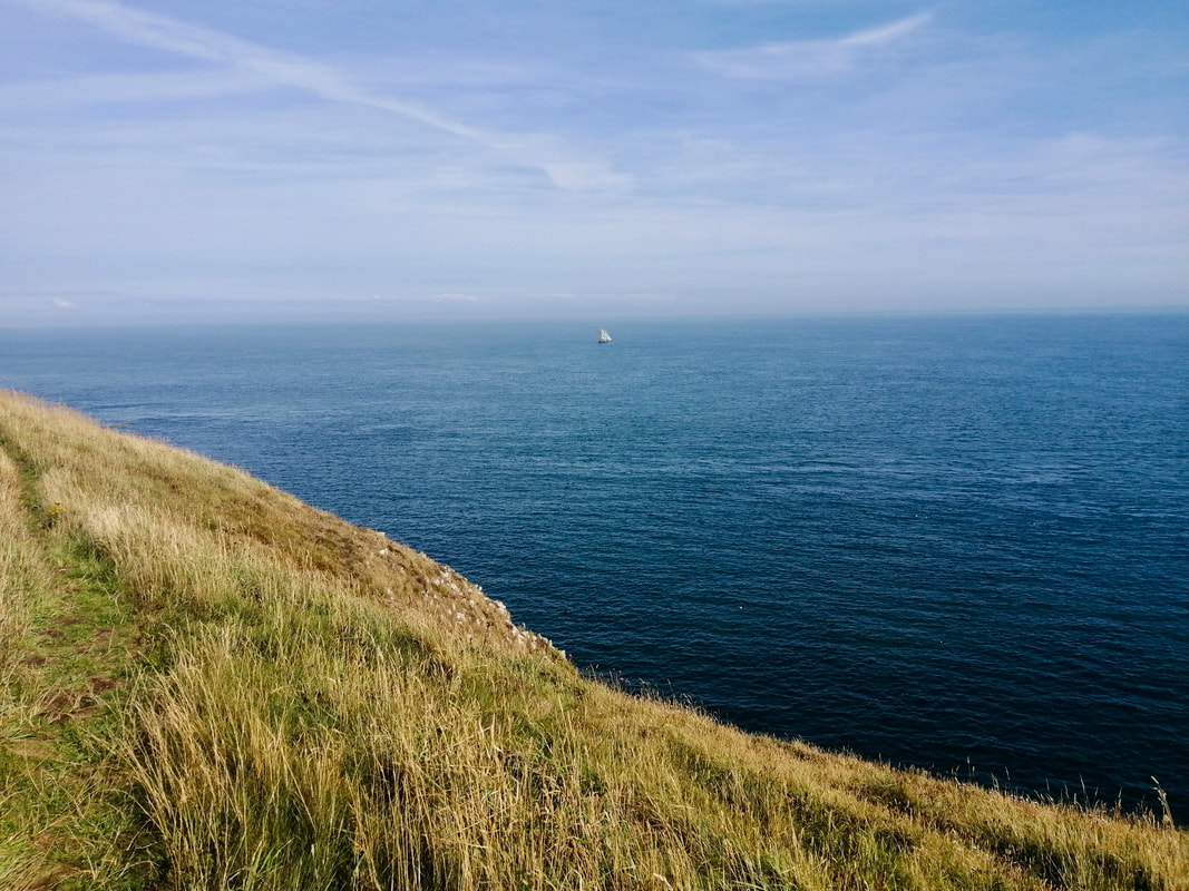
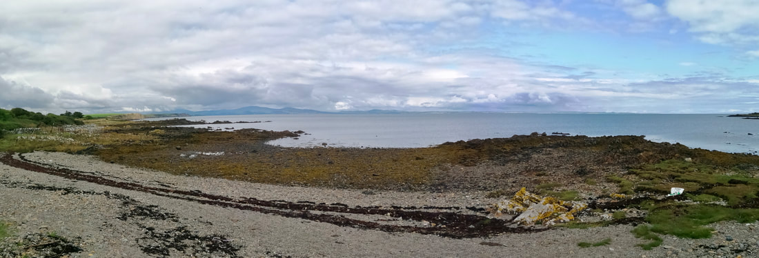
For once the tide was in our favour and the plan was to try and keep to the shore, or as close to it as we could, for most of the day. There is no formal footpath for much of the walk as a whole, but on leaving Portpatrick you are walking on the Southern Upland Way (SUW) until you reach the lighthouse at Black Rock. The SUW is a 214-mile route from Portpatrick to Cockburnspath on the east coast. Onward from the lighthouse it is down to your own endeavour, albeit there are notice boards with maps for the Rhins of Galloway Coastal Path. It is a work in progress.
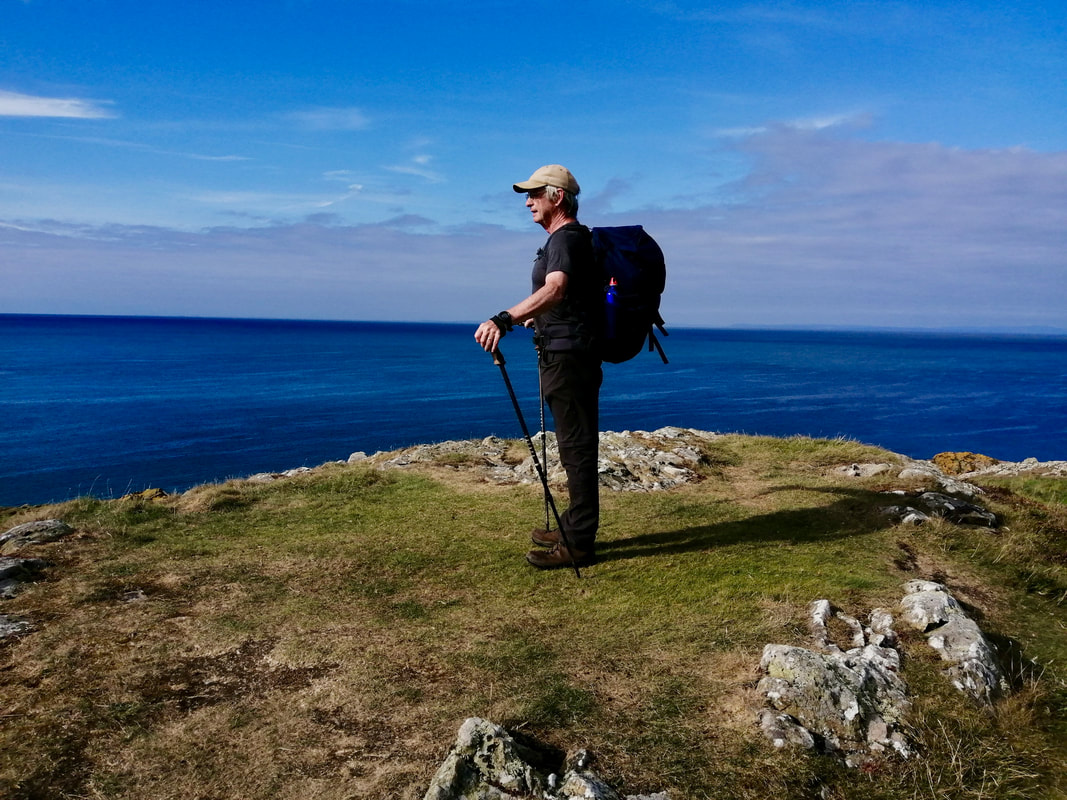
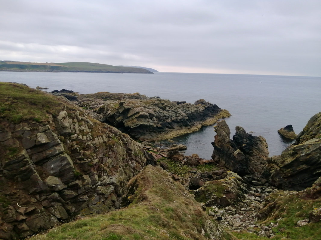
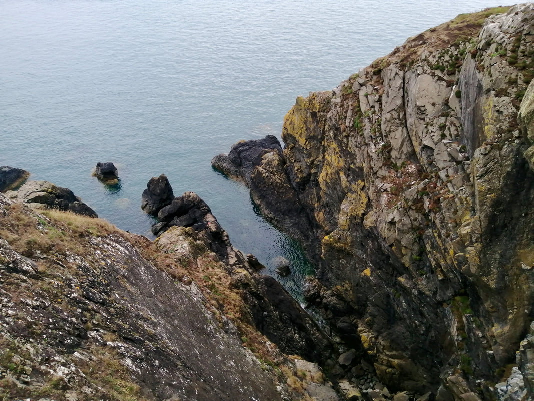
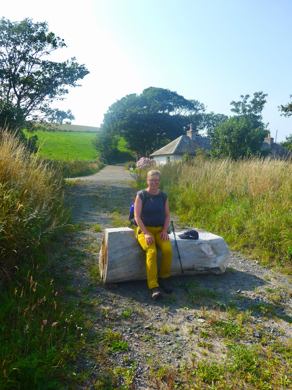
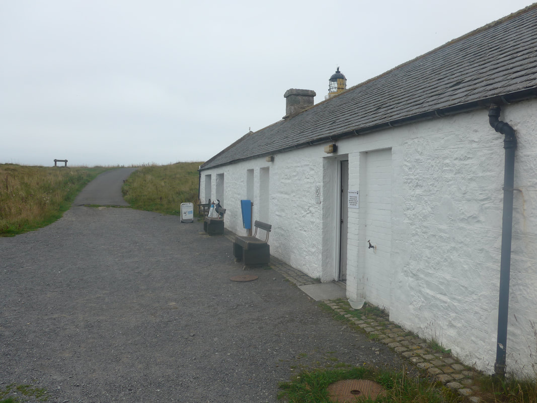
We knew there were sections where the water was never too far away from the rock face and we just hoped that we could either scramble round or over the rocks, alternatively, just move on to the low cliff to go up and over, before returning to the shore. The weather was fine and the distance manageable. Rather than wild camp, we had opted for a bit of luxury with a stay in the Corsewell Lighthouse Hotel.
For once the tide was in our favour and the plan was to try and keep to the shore, or as close to it as we could, for most of the day. There is no formal footpath for much of the walk as a whole, but on leaving Portpatrick you are walking on the Southern Upland Way (SUW) until you reach the lighthouse at Black Rock. The SUW is a 214-mile route from Portpatrick to Cockburnspath on the east coast. Onward from the lighthouse it is down to your own endeavour, albeit there are notice boards with maps for the Rhins of Galloway Coastal Path. It is a work in progress.
We knew there were sections where the water was never too far away from the rock face and we just hoped that we could either scramble round or over the rocks, alternatively, just move on to the low cliff to go up and over, before returning to the shore. The weather was fine and the distance manageable. Rather than wild camp, we had opted for a bit of luxury with a stay in the Corsewell Lighthouse Hotel.
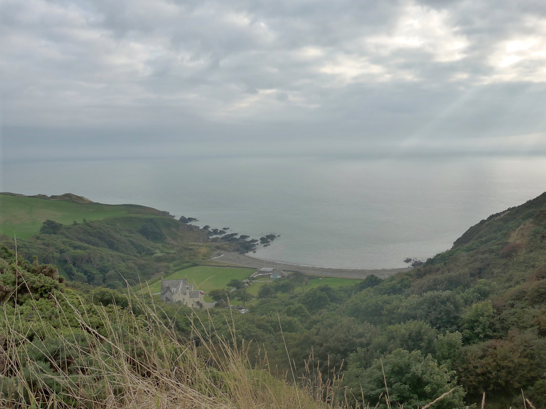
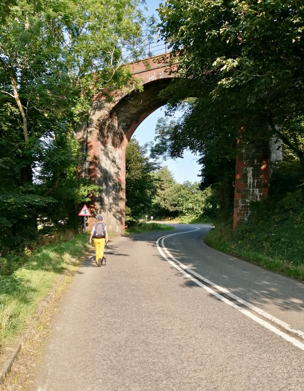
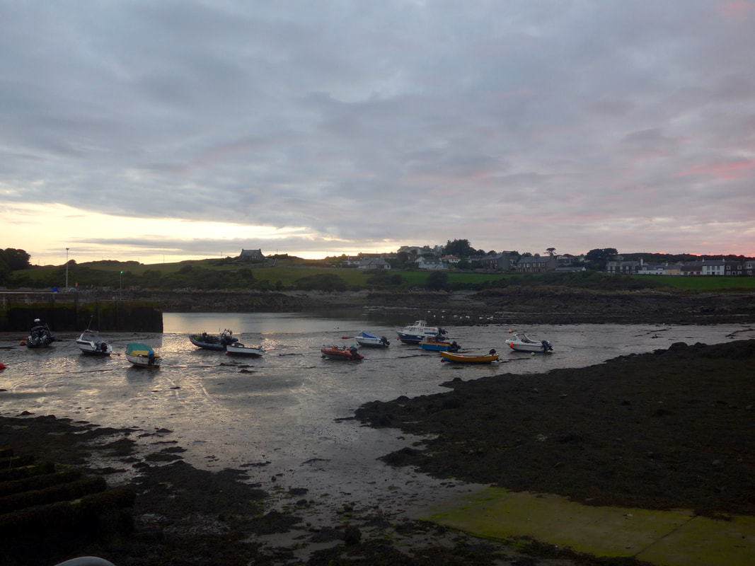
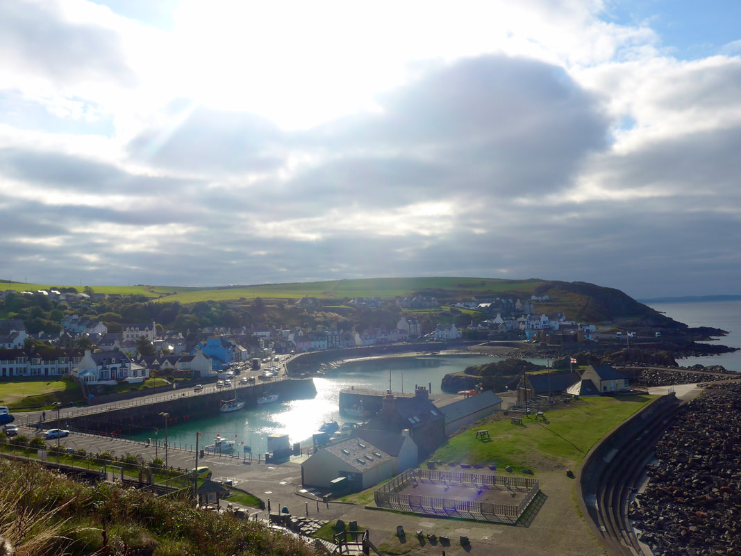 Portpatrick Harbour to East Cliff
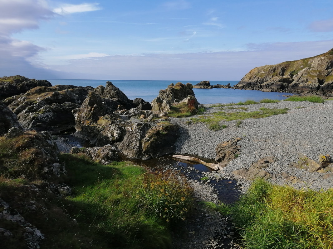
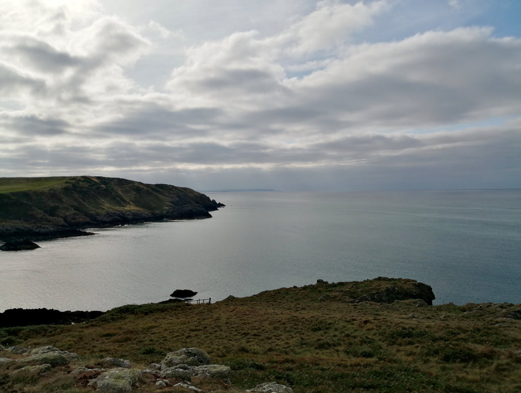
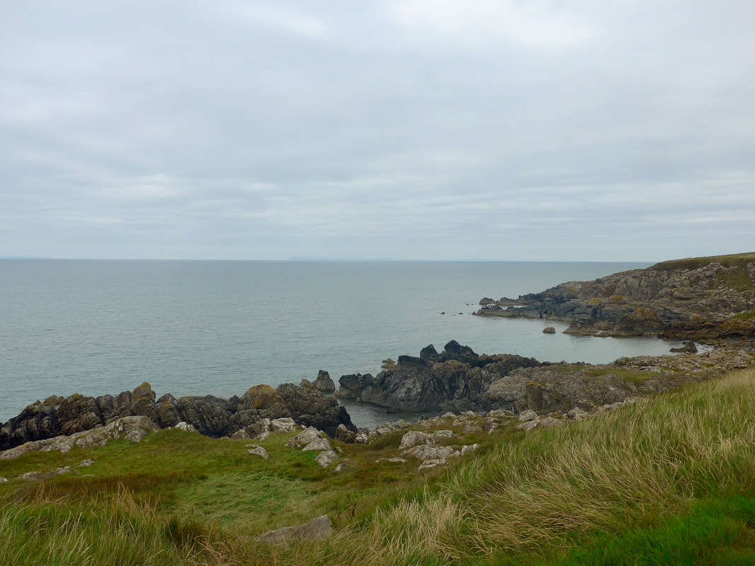
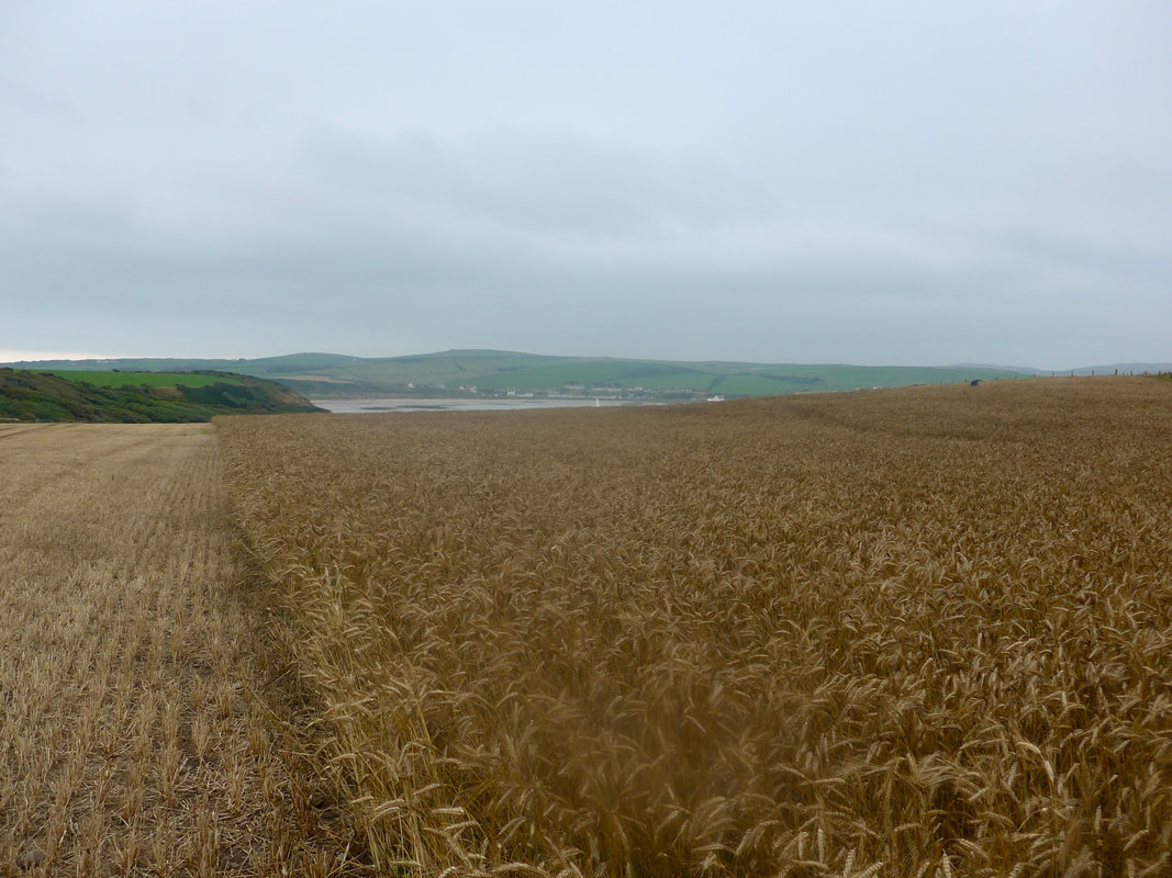
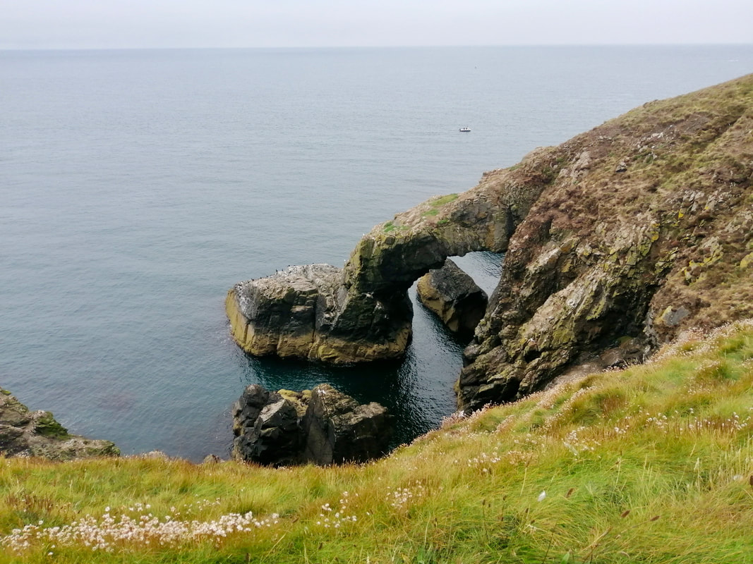
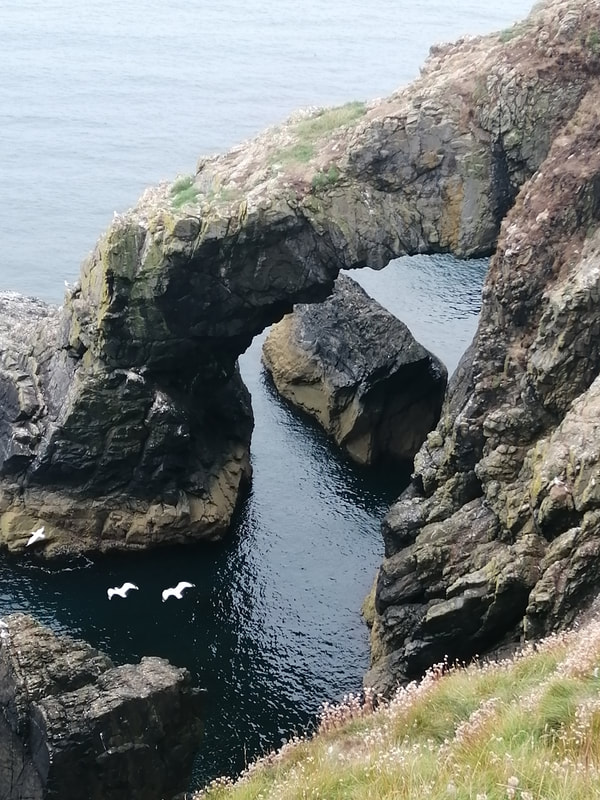
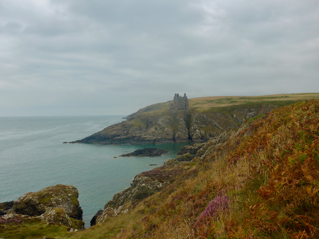
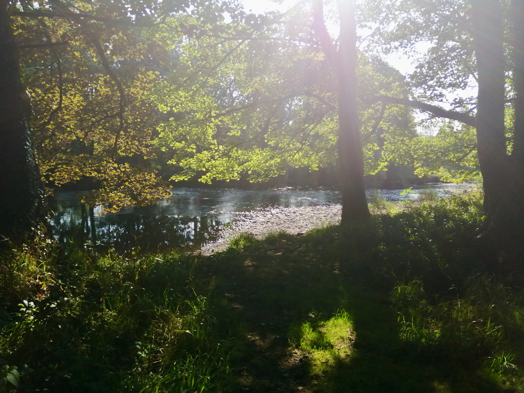
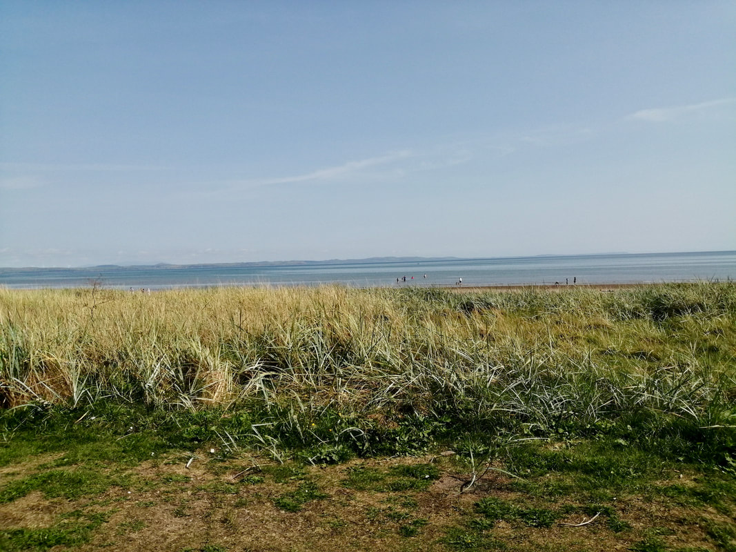
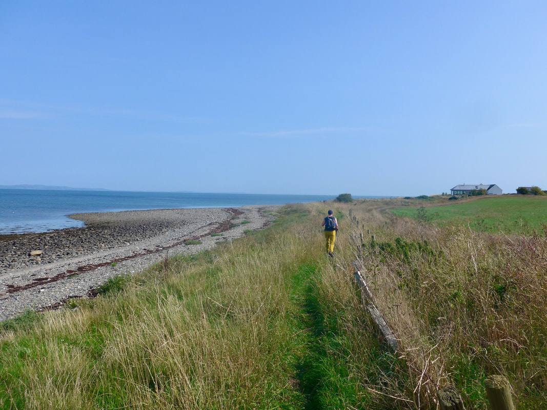
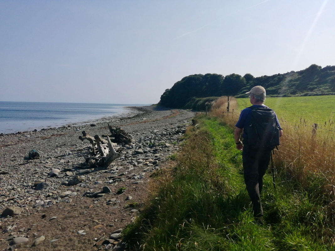
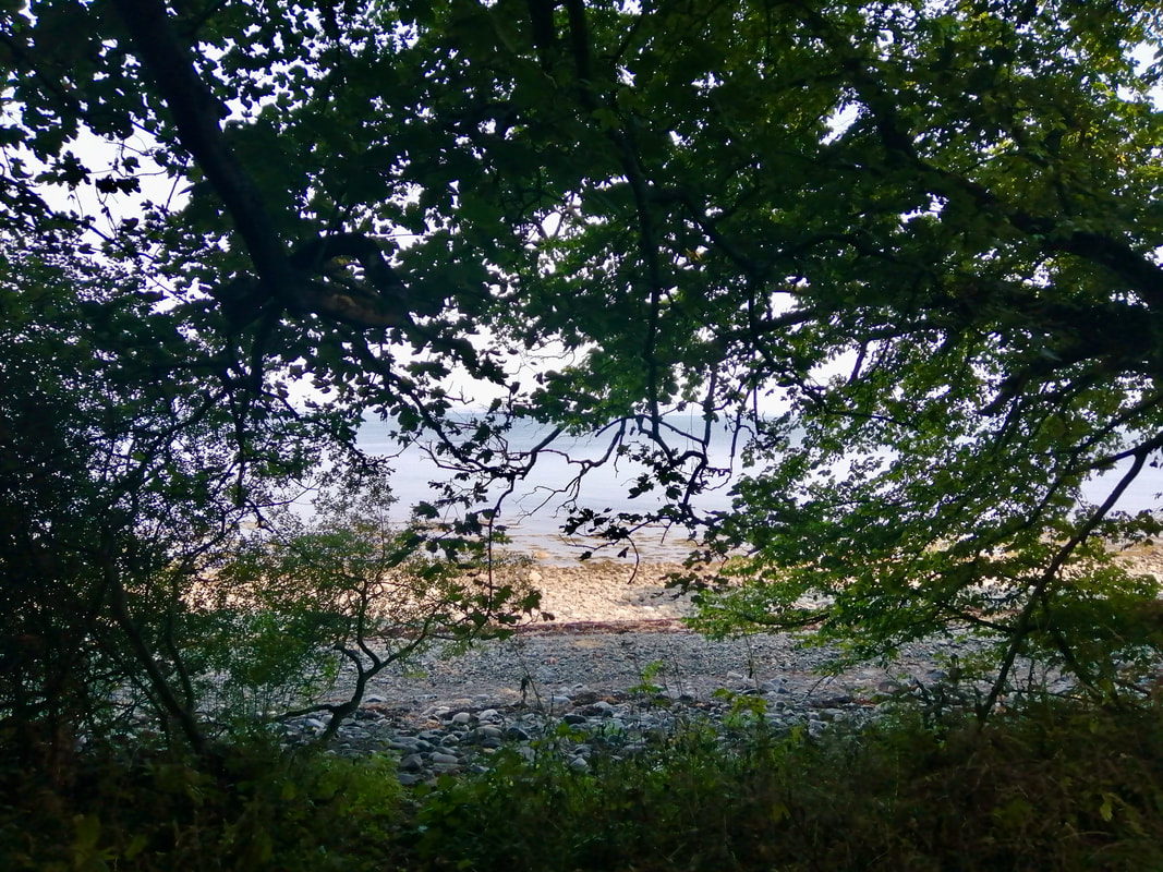
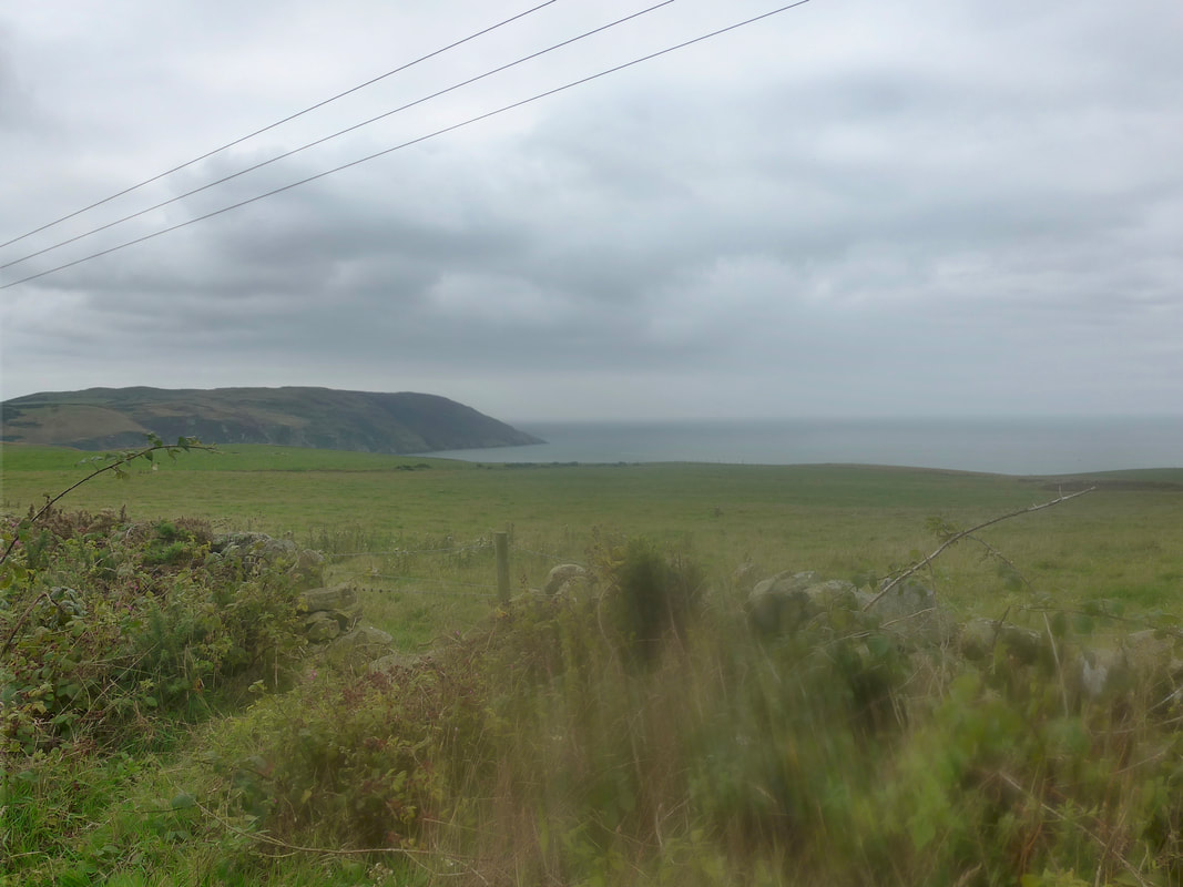
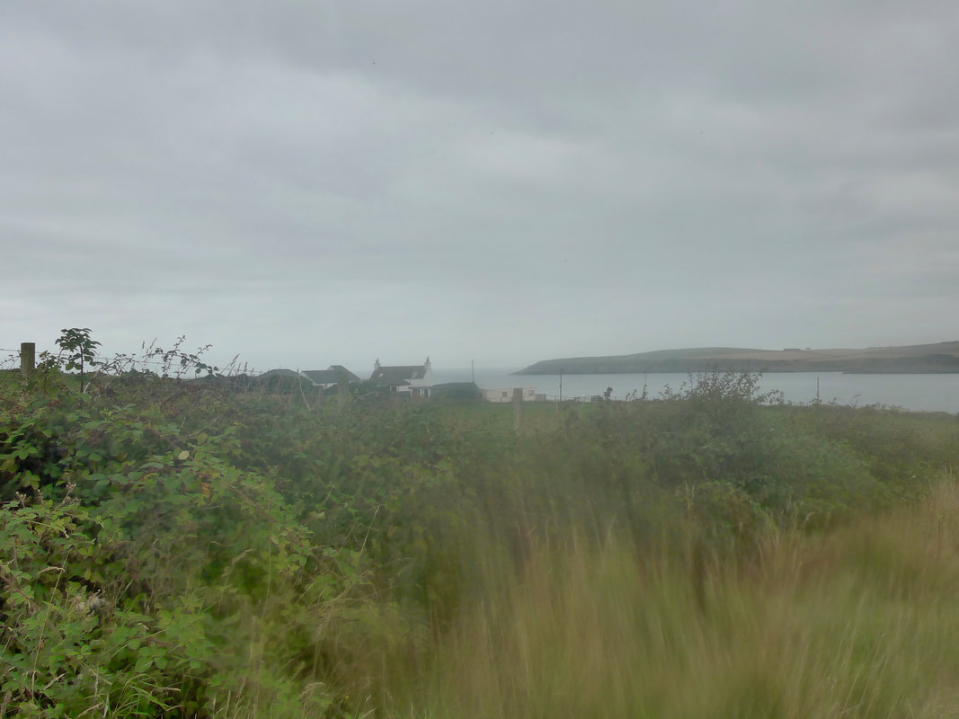
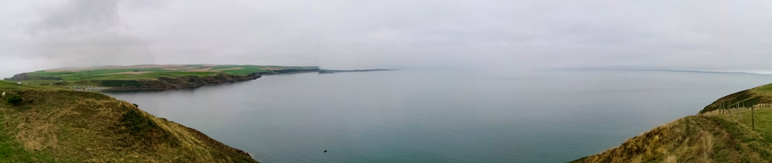
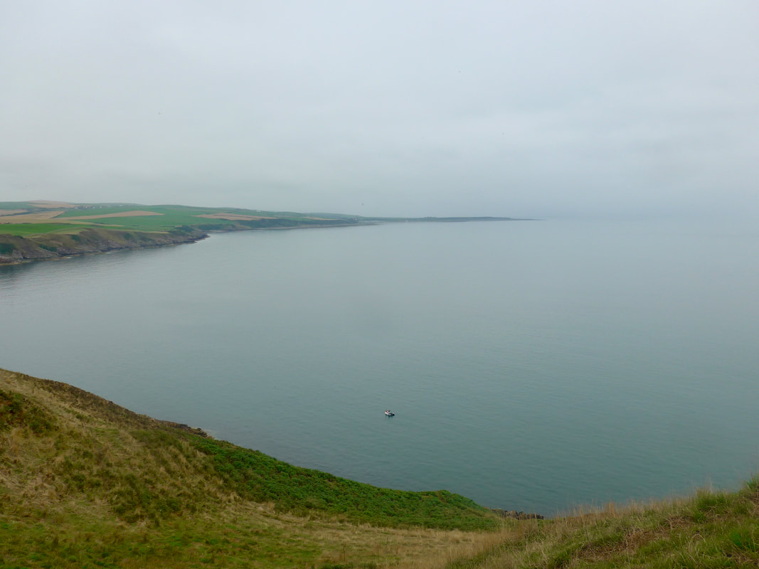
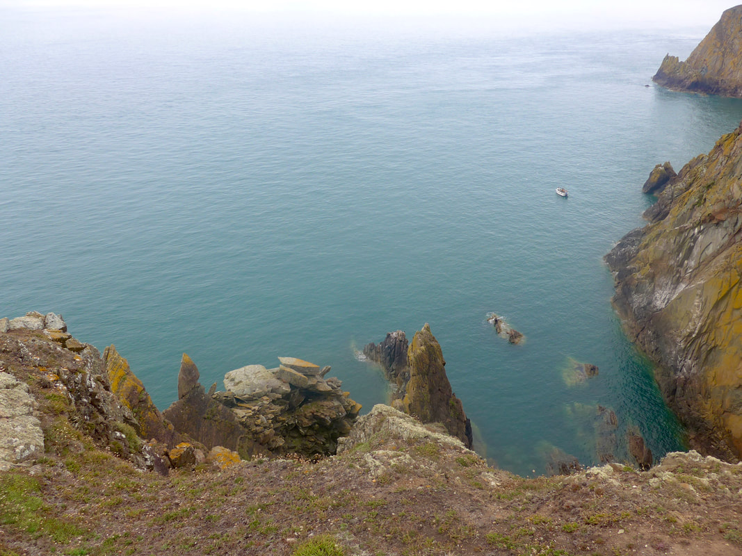
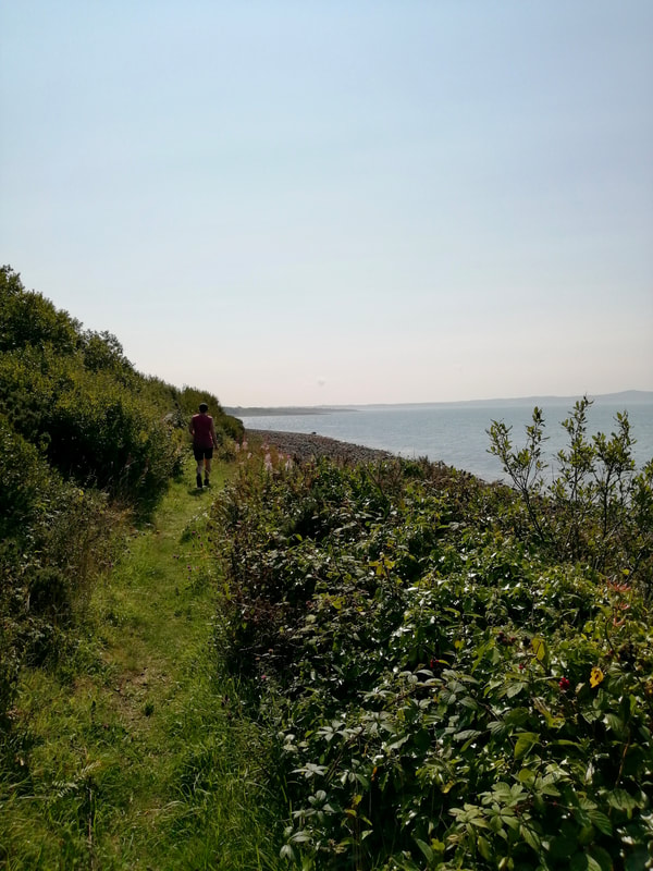
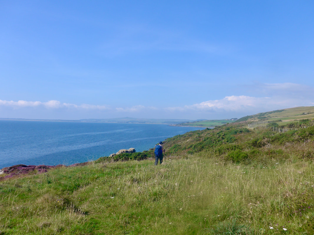
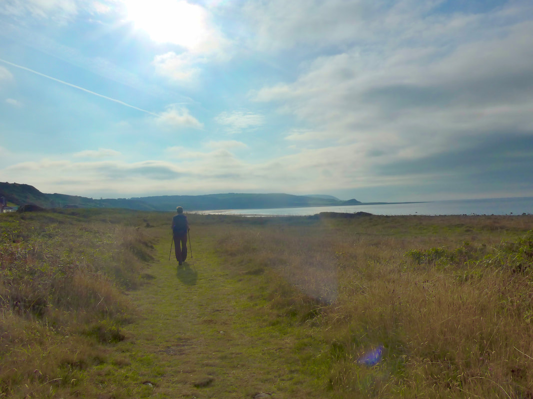
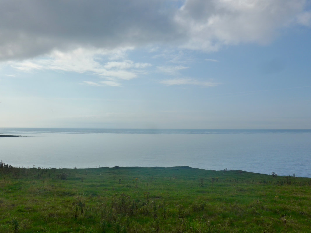
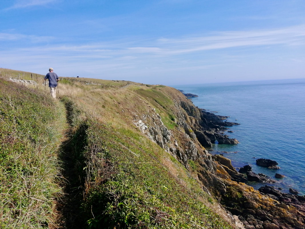
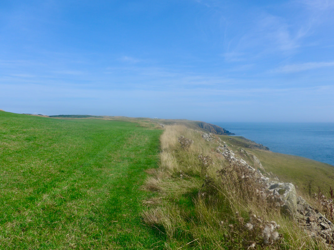
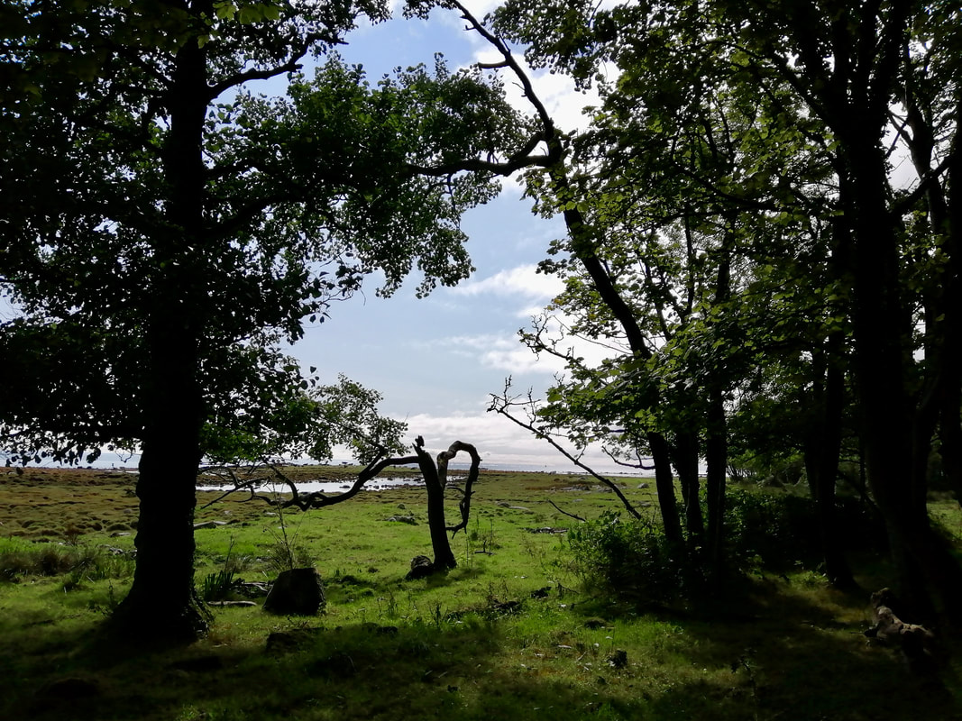
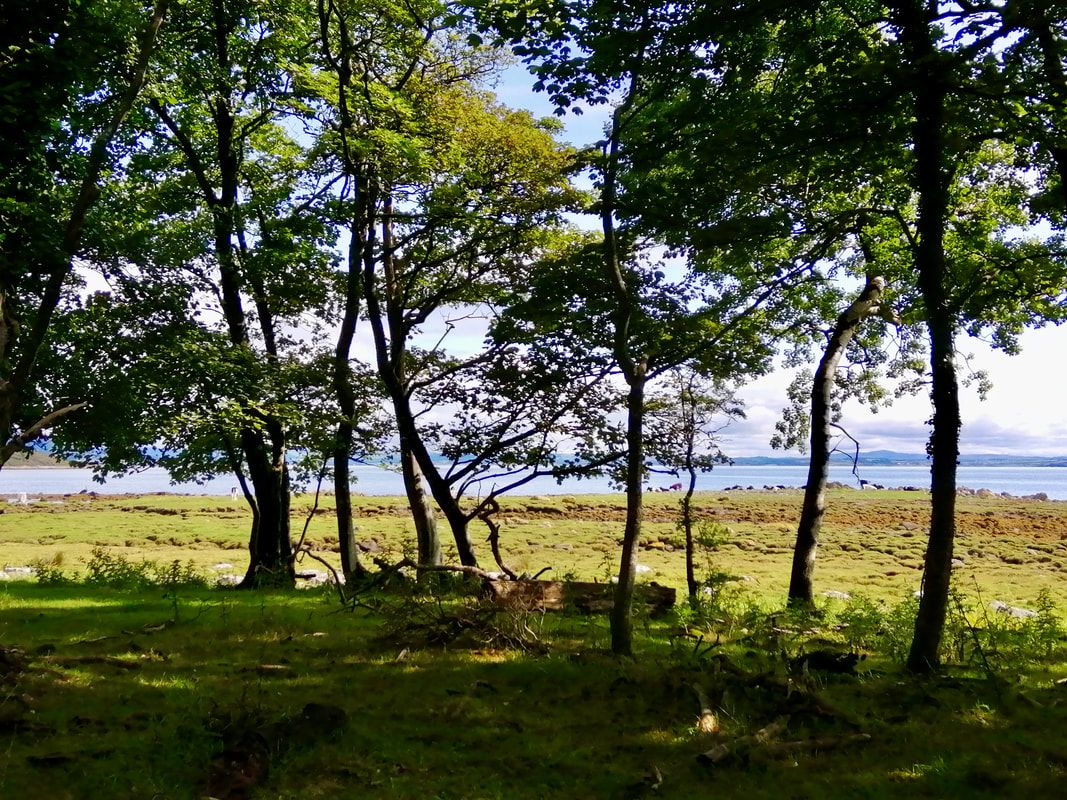
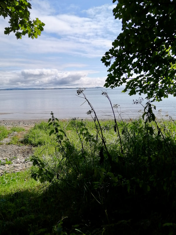
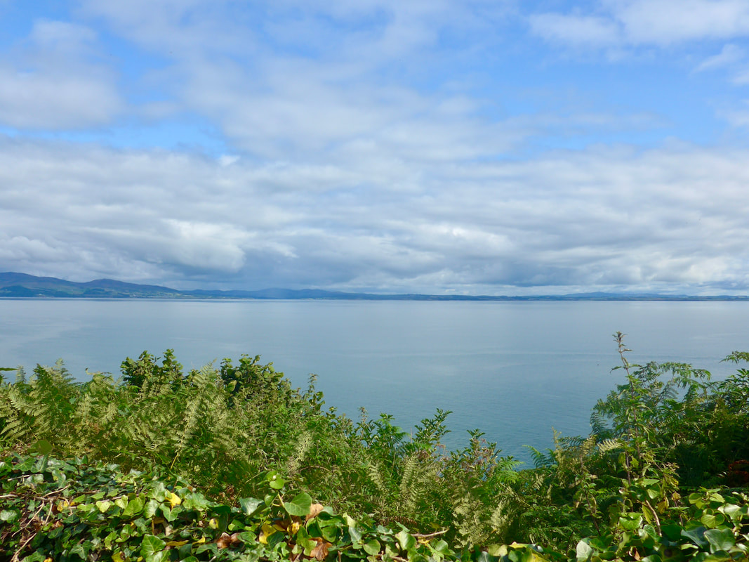
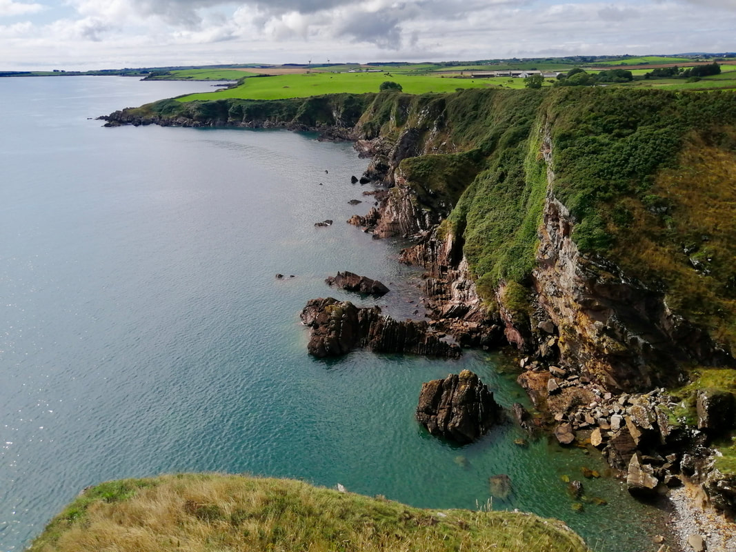
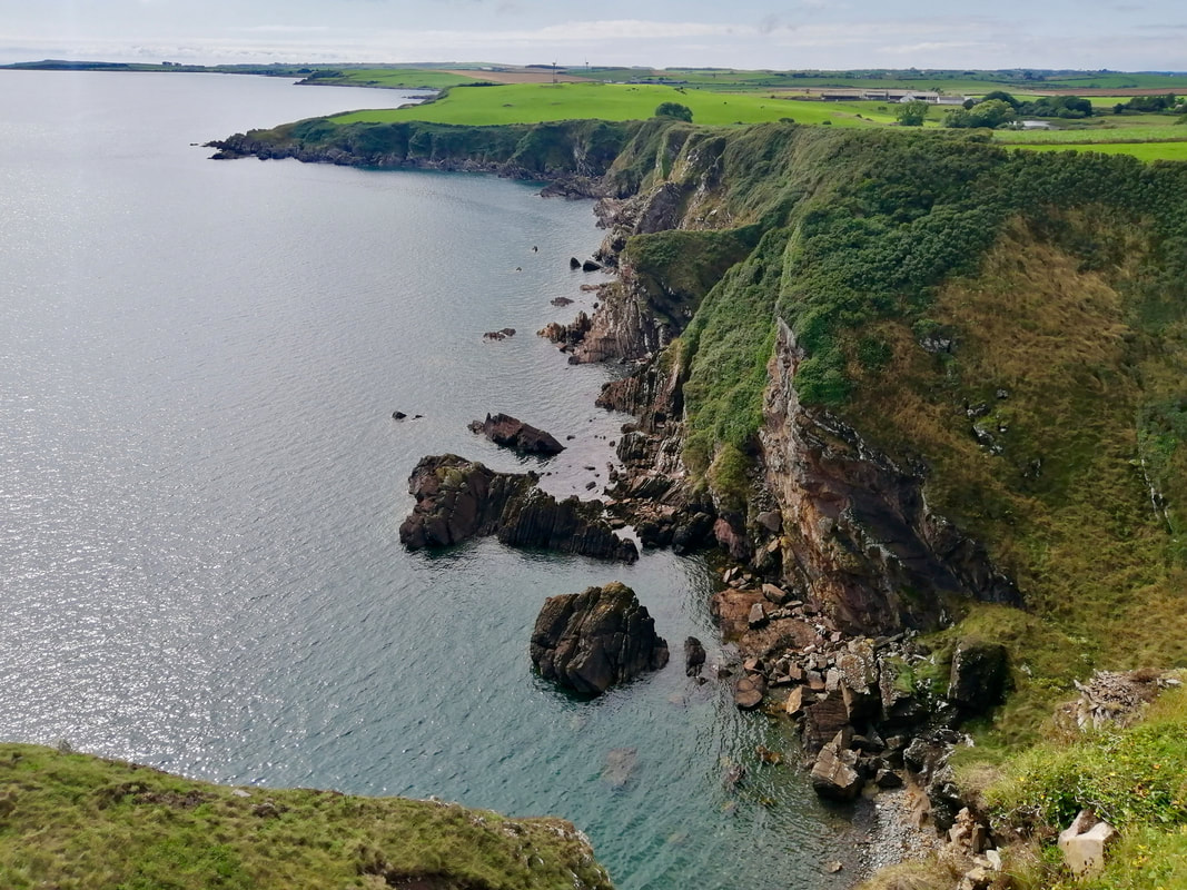
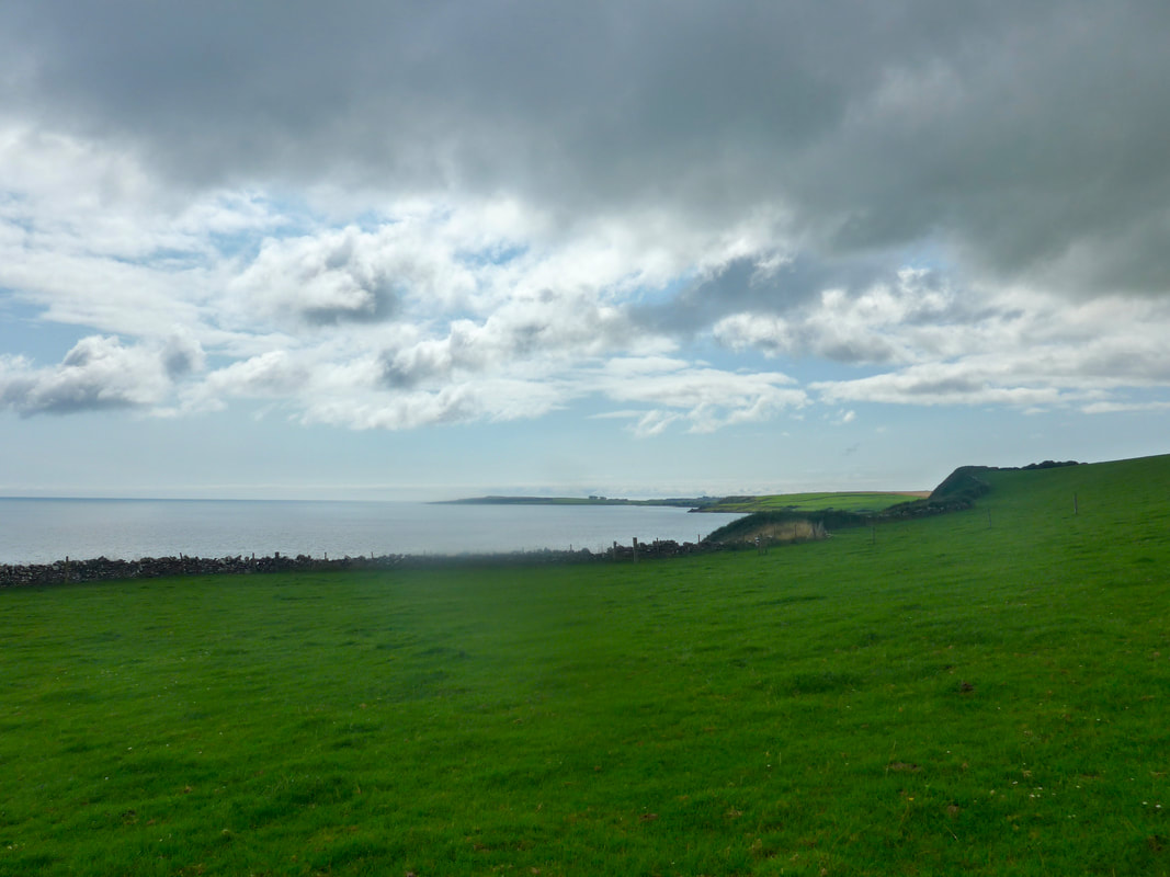
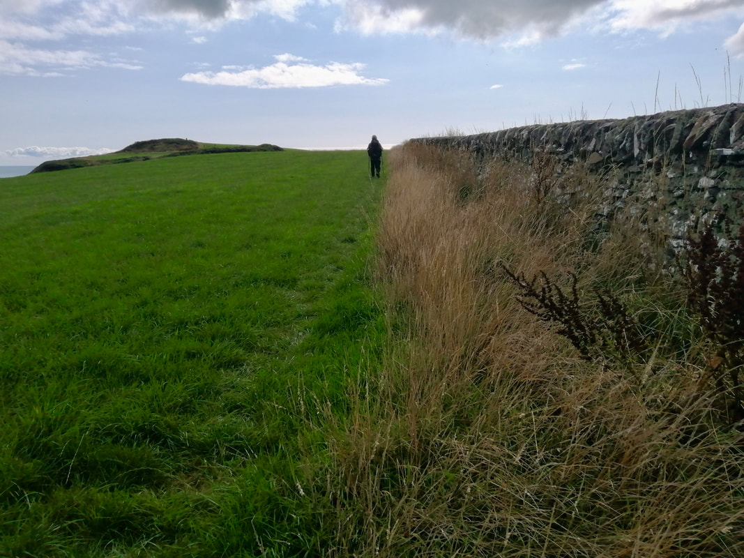
 Leaving Portpatrick it is not possible to stay on the shore. Rather, the route climbs up a fairly low hill on to the edges of the Dunskey golf course. There are fine views from the hilltop over Portpatrick harbour to the East Cliff, out over the North Channel in the direction of Belfast and north west in the direction of Port Mora and the Catebraid headland. There are a number of lovely coves and bays all along this walk with, in some places, beautiful aquamarine waters, as well as a number of interesting rock features.
 Port Mora to Black Isle
 From the golf course the path drops down to two nice, little adjoining 'ports'. There is a low headland that separates Ports Mora and Kale and we used it to cross between the two. The Southern Upland Way goes round the back of the headland, perhaps to allow for a route when it is high tide.
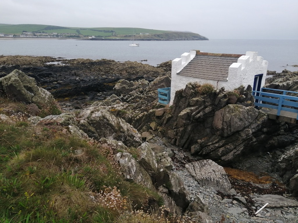
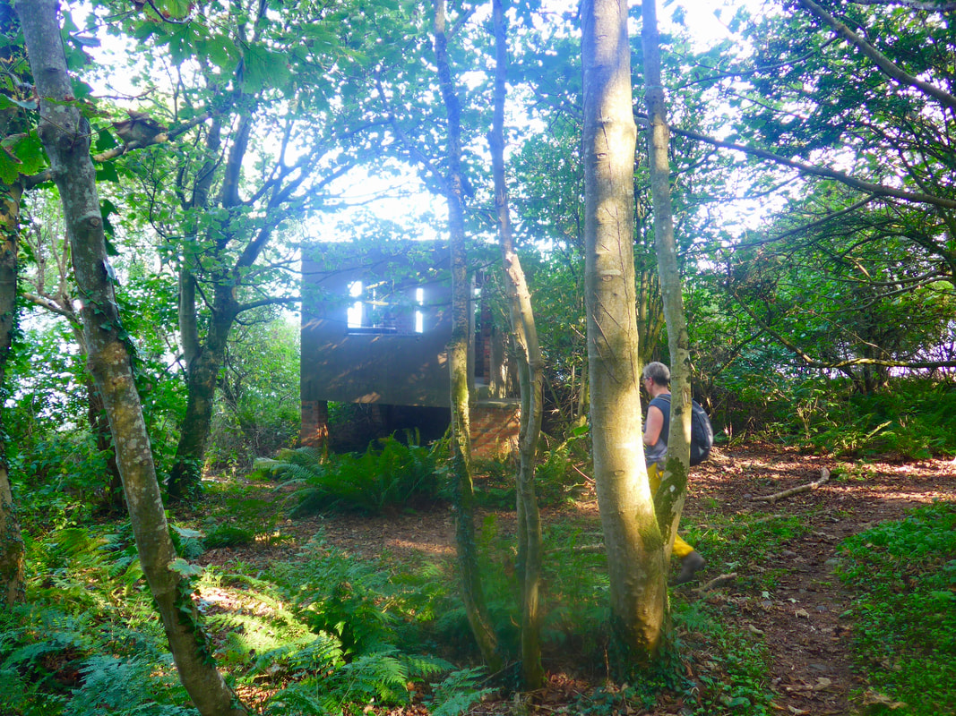
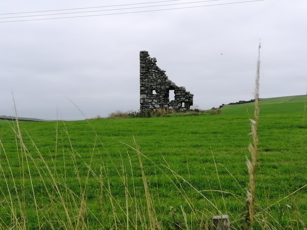
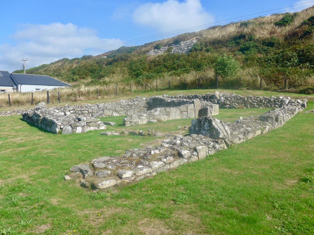
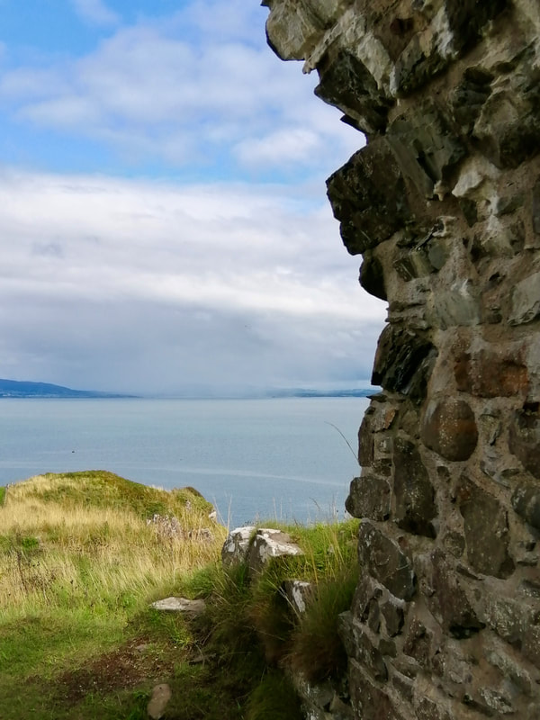
At the back of Port Kale, just where the path over the neck of the headland brings you out, there are two old hexagonal-shaped buildings, known as the cable houses. Built in 1852, they housed the testing apparatus for an electric cable laid between Scotland and Ireland. The cables were superseded by other, later developments and eventually lifted in 1983. The buildings are now part of the Dunskey Estate.
At the back of Port Kale, just where the path over the neck of the headland brings you out, there are two old hexagonal-shaped buildings, known as the cable houses. Built in 1852, they housed the testing apparatus for an electric cable laid between Scotland and Ireland. The cables were superseded by other, later developments and eventually lifted in 1983. The buildings are now part of the Dunskey Estate.
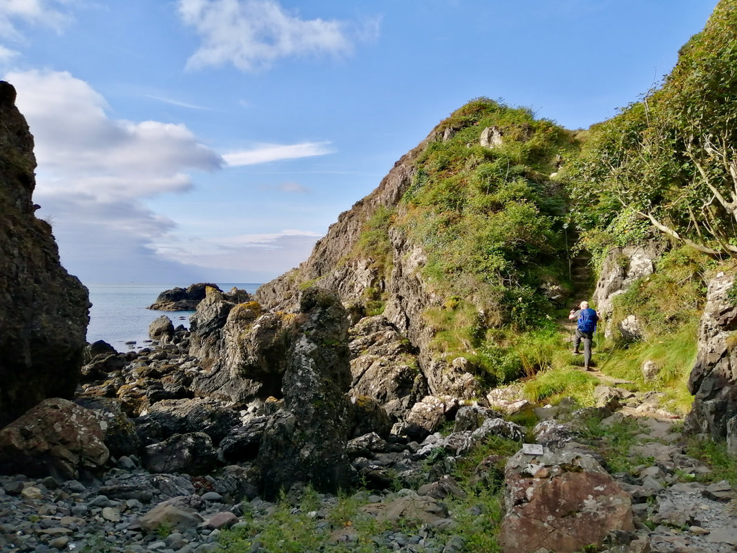
 Over Port Kale
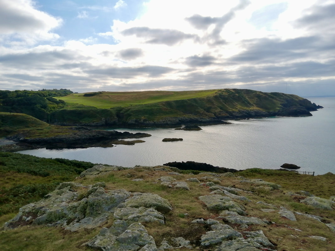
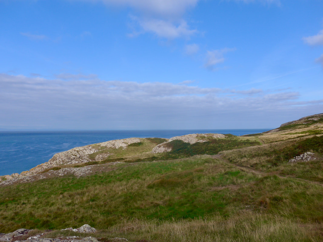
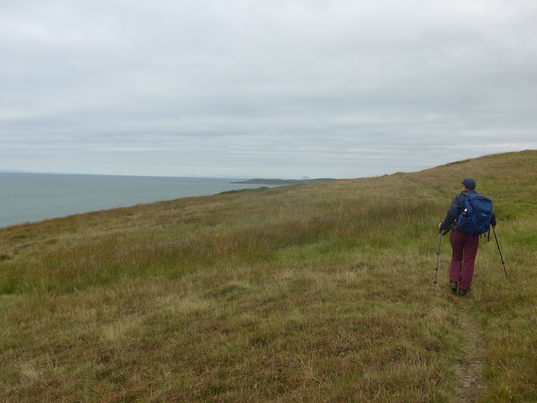
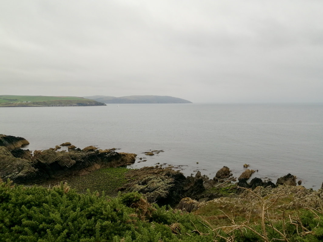
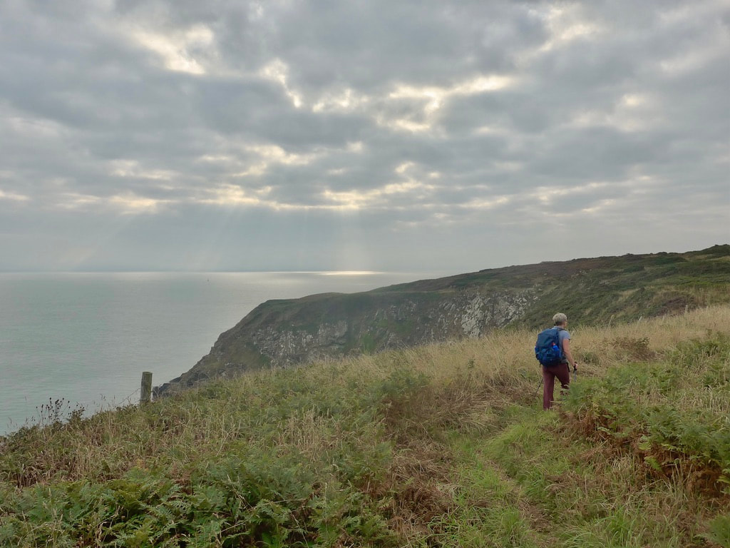
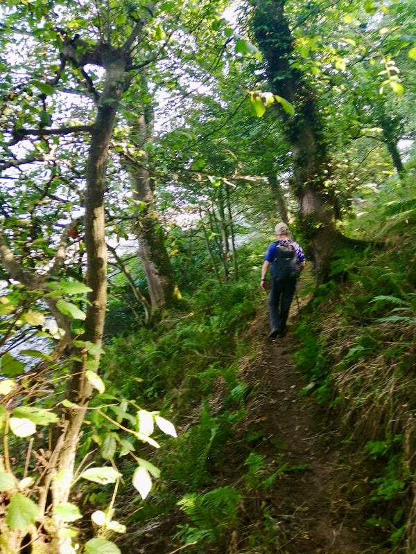
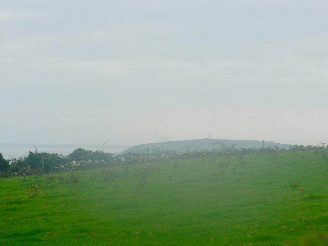
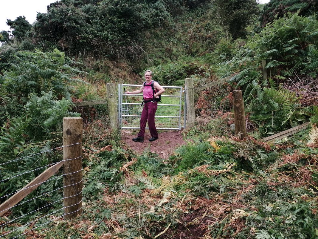
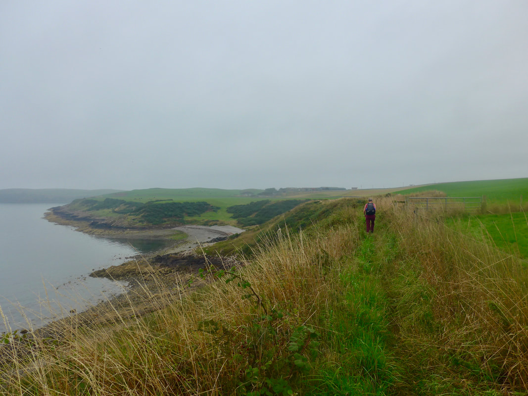
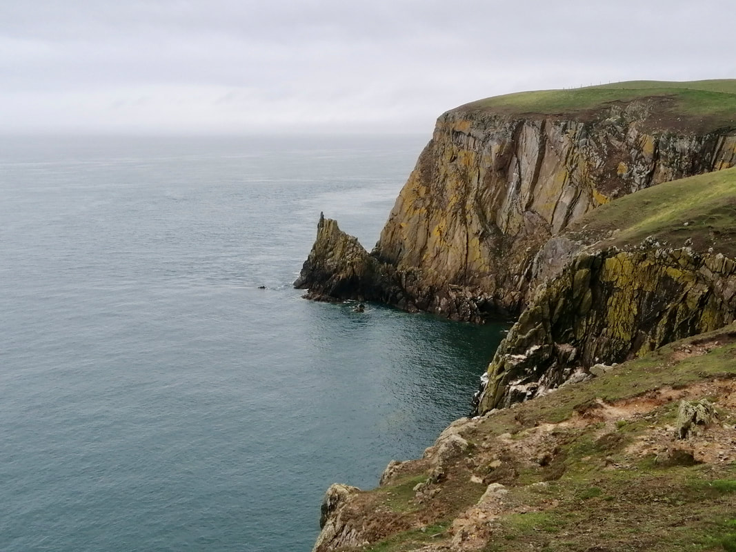
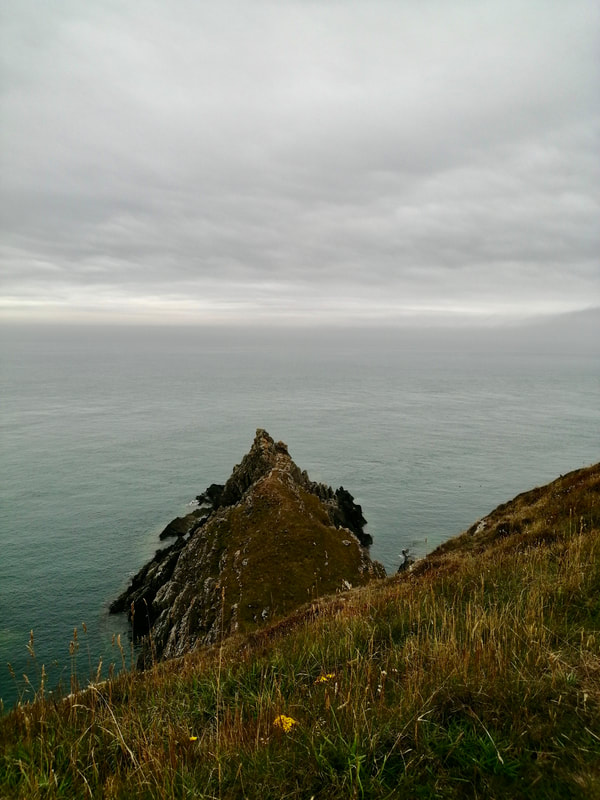
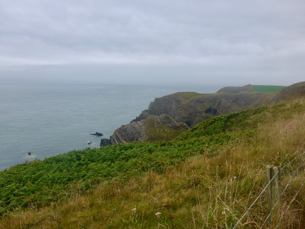
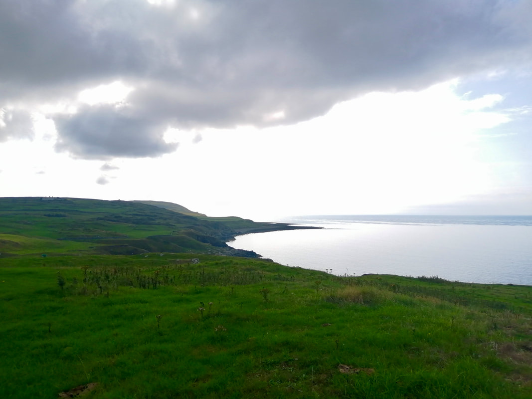
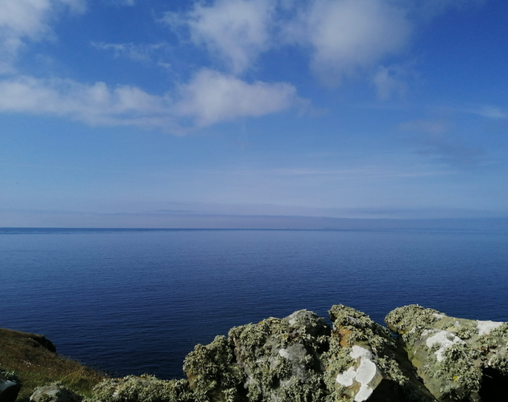
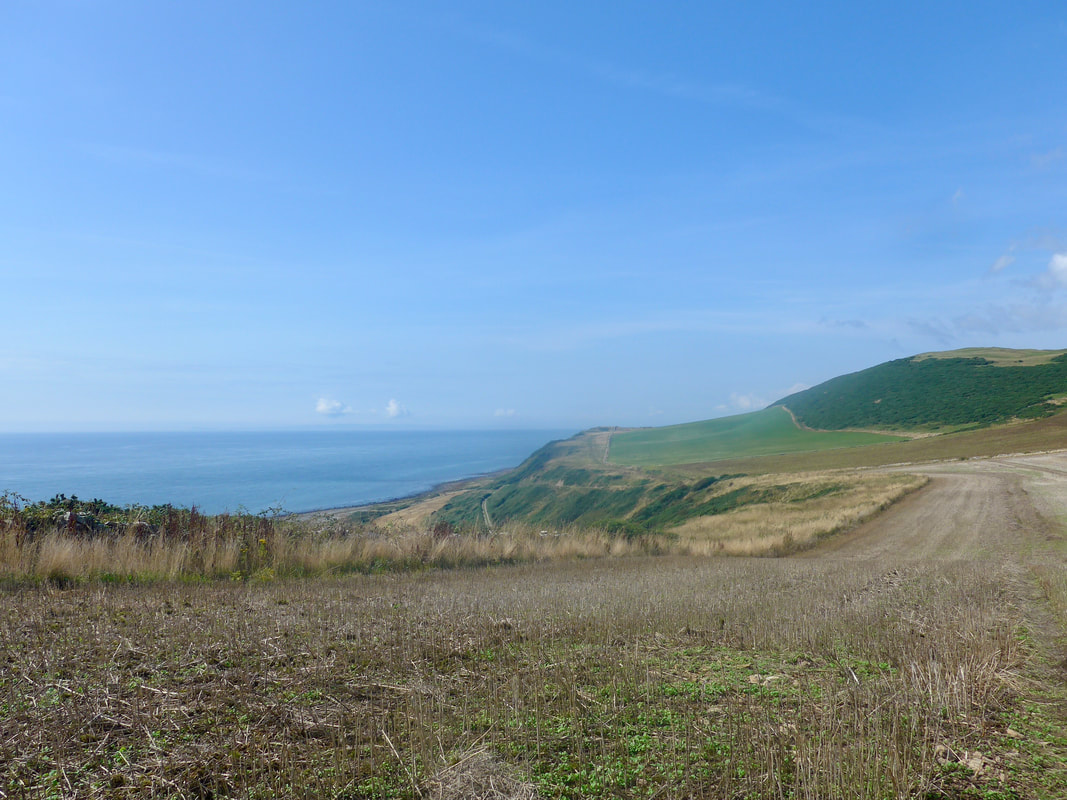
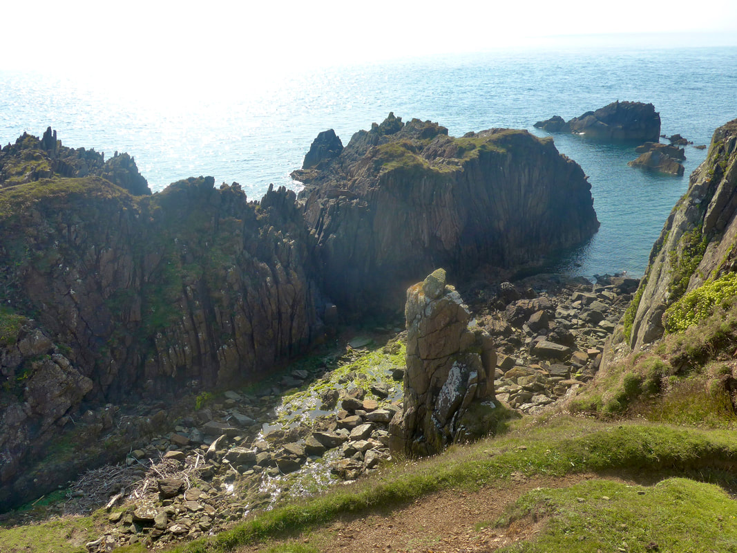
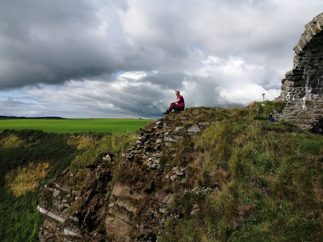
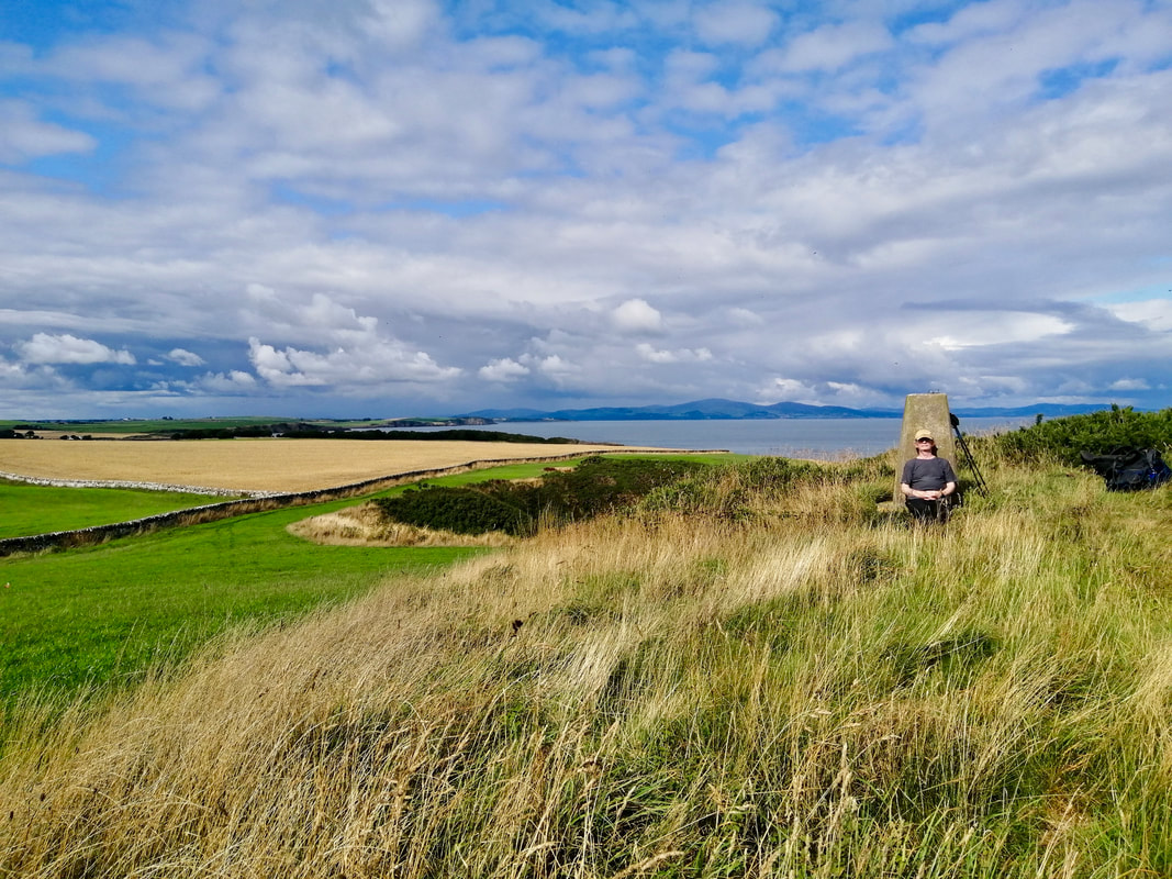
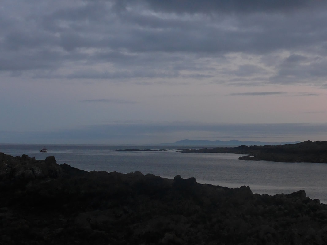
 Leaving Port Kale there is a nice little gully and stairway up towards the botton edge of Dunskey Glen and which leads on to the unusually named Ouchtriemakain Moor. Again, with the added height, there are nice views to be had standing on the headland at Catebraid along the coast and inland. Looking north from the Catebraid headland you can see the bottom ends of the Kintyre Peninsula and the Isle of Arran. Looking straight out to see (that would be West), on a good day you would be looking into the mouth of Belfast Lough, while slightly south-west is looking towards the town of Bangor.
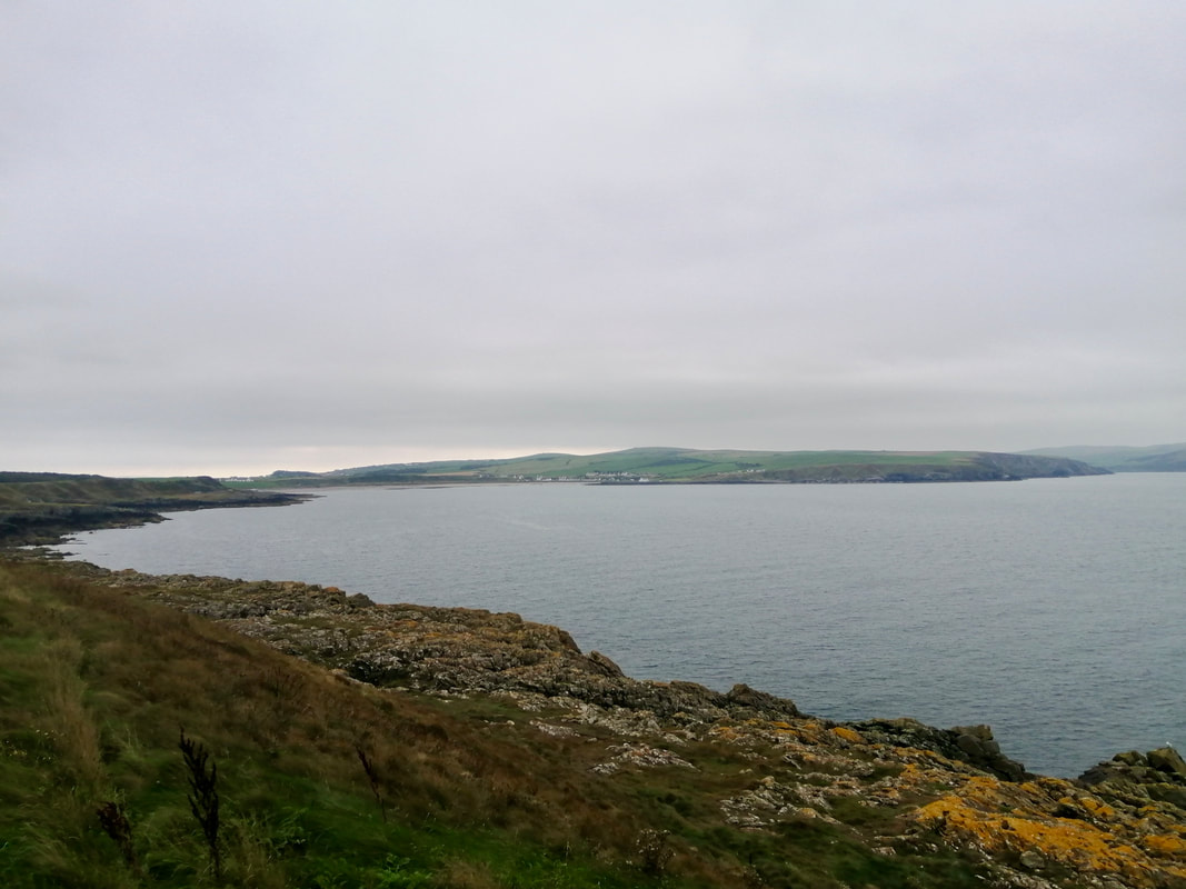
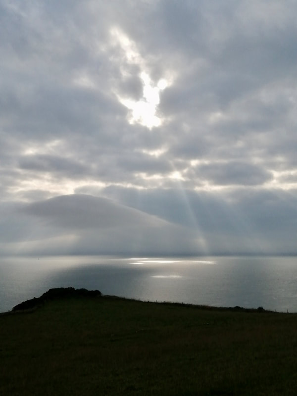
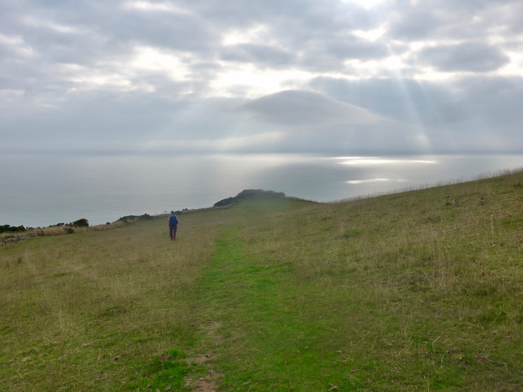
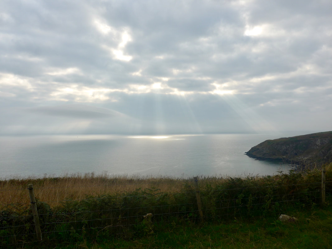
With a few clouds in the sky there were interesting light effects over the waters leading back to the East Cliff on the other side of Portpatrick. At this stage of the walk we were still following the SUW, walking on a fairly clear, good, grassy path. We stayed high from Catebraid before starting to drop down again at Portavaddie, starting the lower approaches to Portamaggie and the Killantringan Lighthouse.
With a few clouds in the sky there were interesting light effects over the waters leading back to the East Cliff on the other side of Portpatrick. At this stage of the walk we were still following the SUW, walking on a fairly clear, good, grassy path. We stayed high from Catebraid before starting to drop down again at Portavaddie, starting the lower approaches to Portamaggie and the Killantringan Lighthouse.
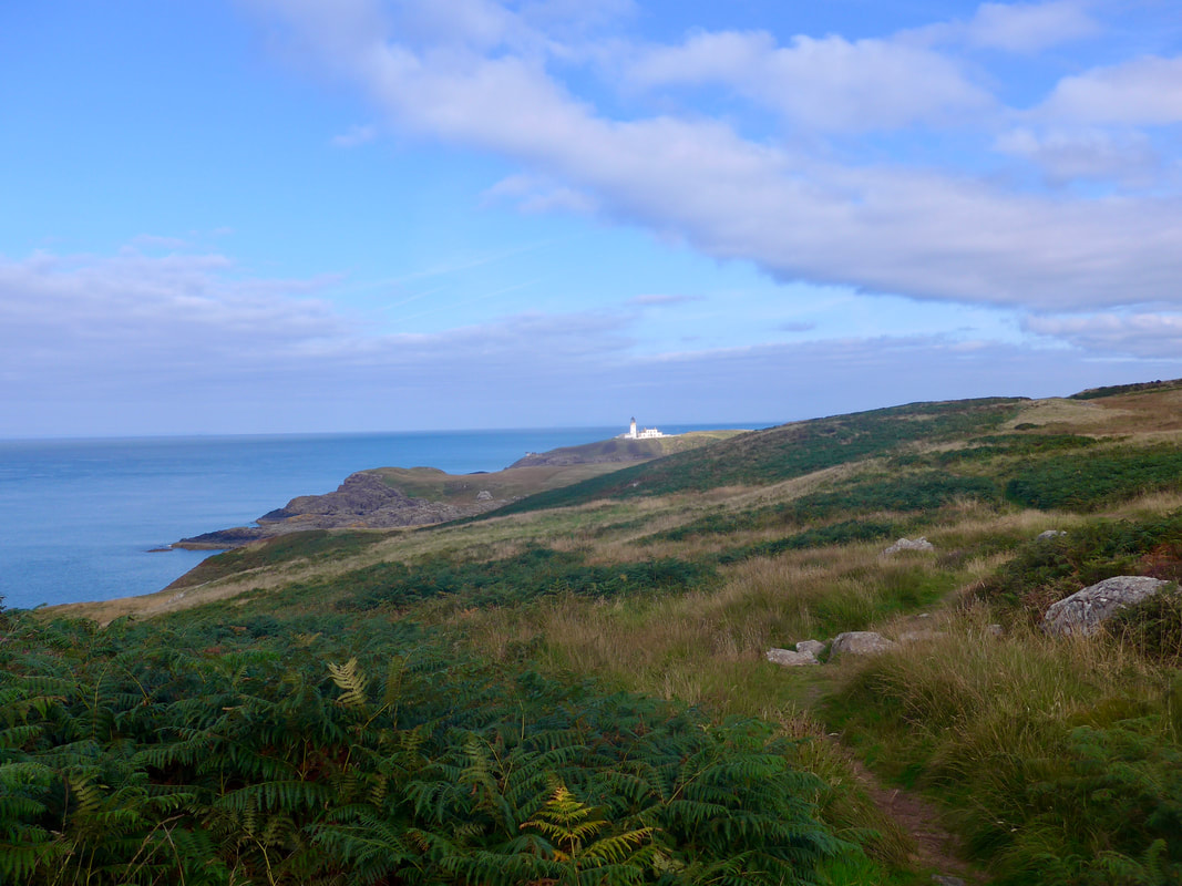 Killantringan Lighthouse
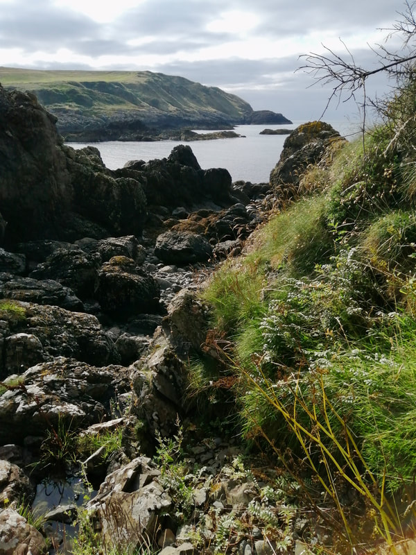
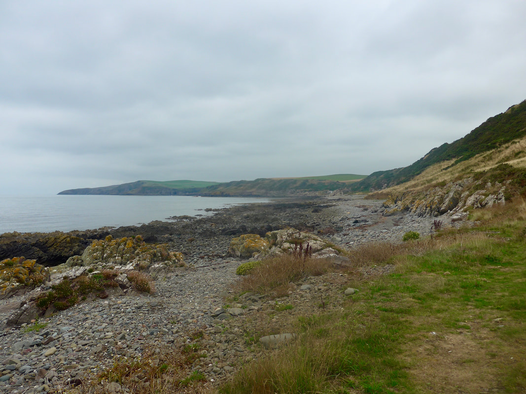
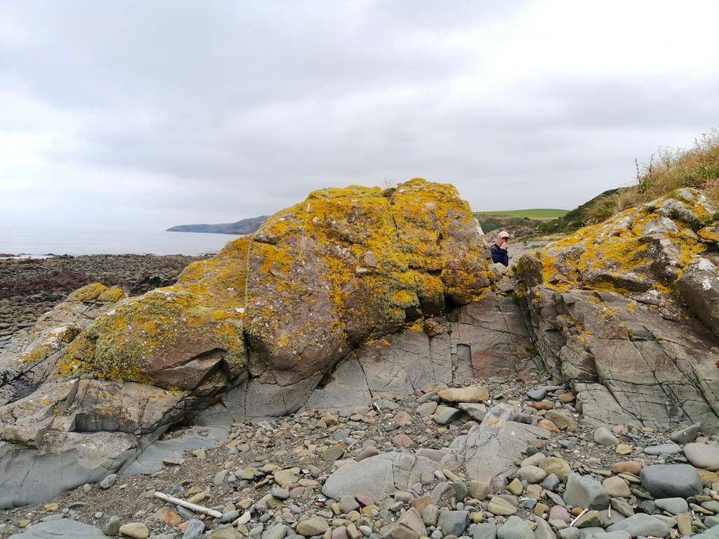
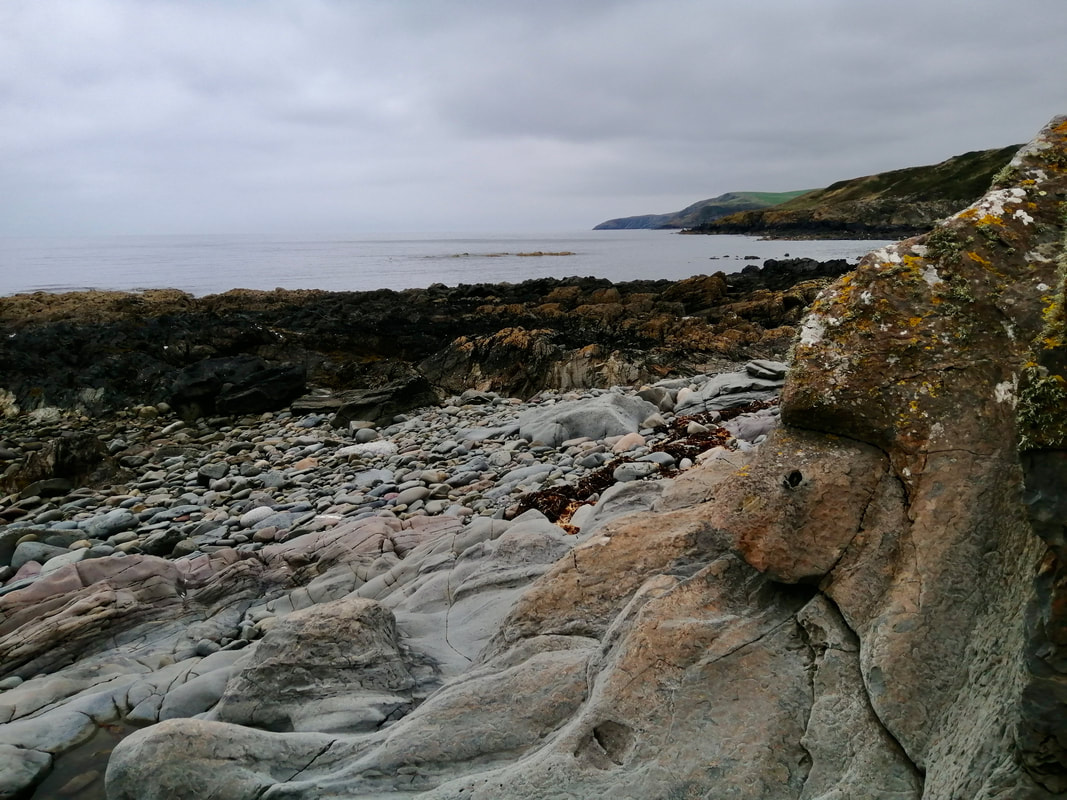
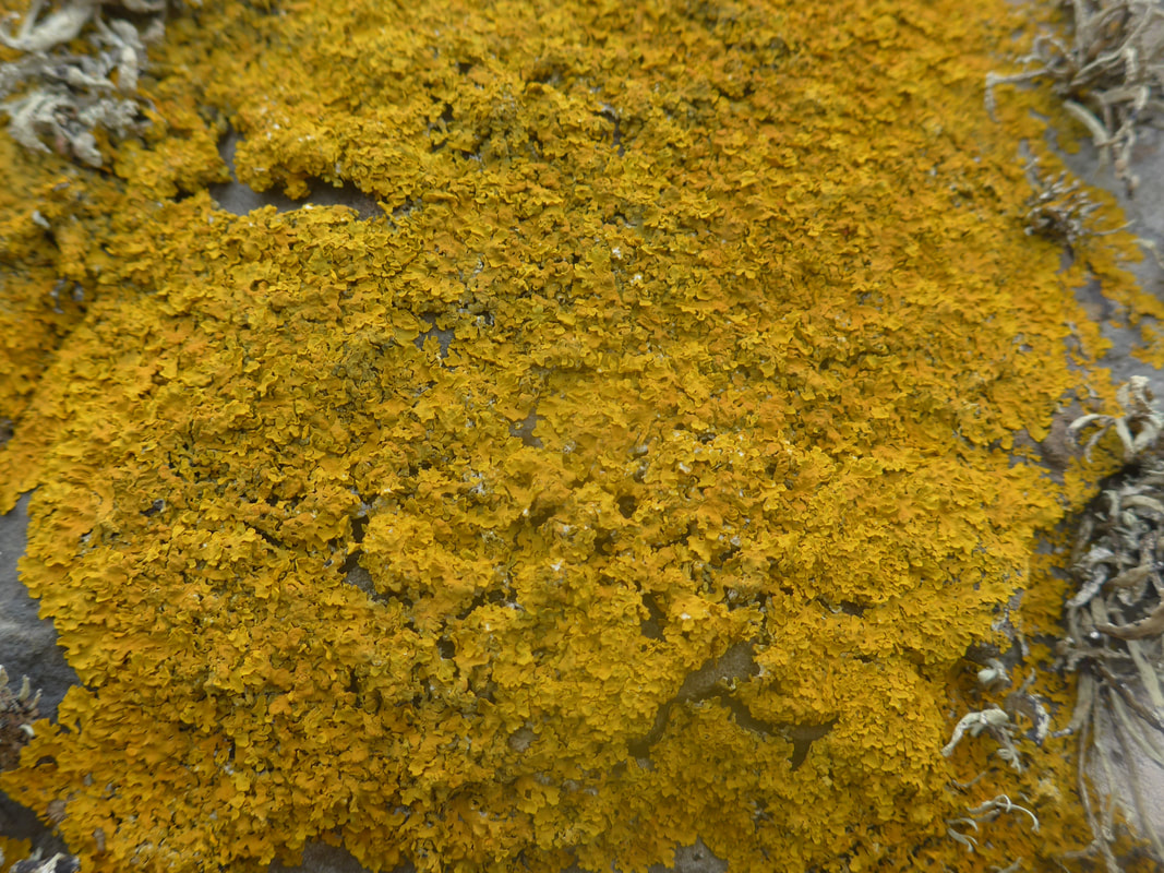
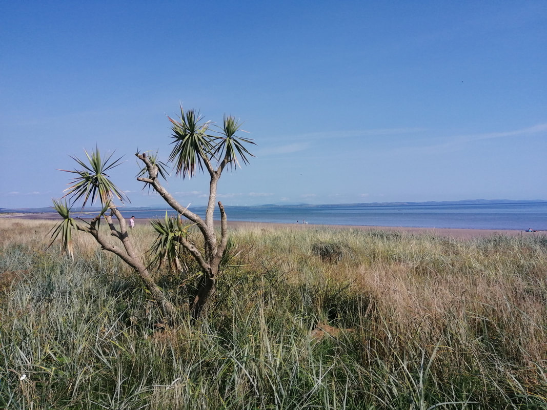
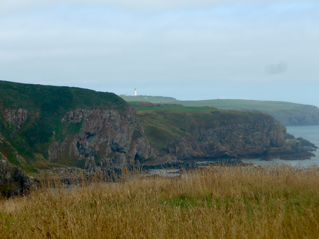
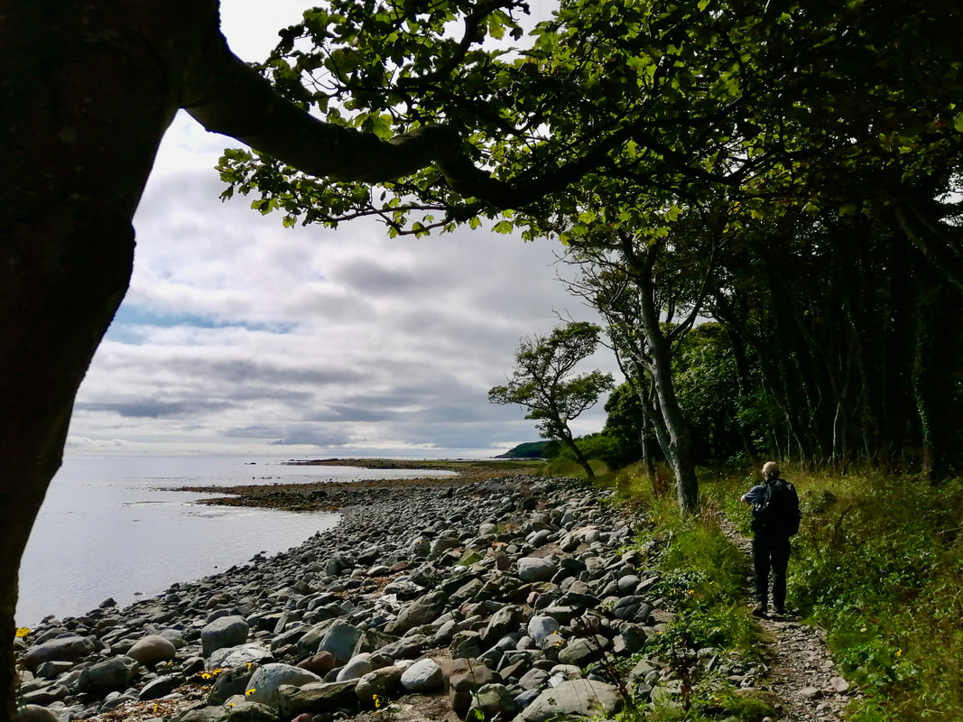
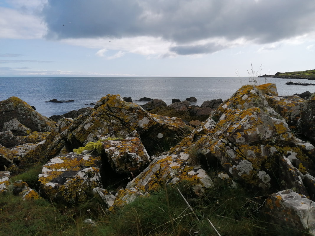
 The Killantringan Lighthouse is visible from a considerable distance away but the walking to it is deceiving as it seems to take forever to reach it. There were some rough patches of walking on this section with stony ground underfoot. There were also some nice colour changes with the red, brown and green of the herbiage contrasting with the white and yellow of the different lichens growing on the rock surfaces.
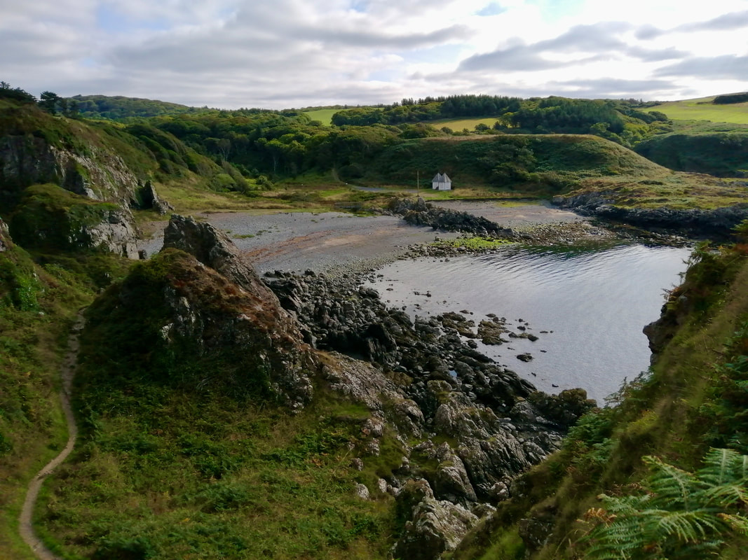
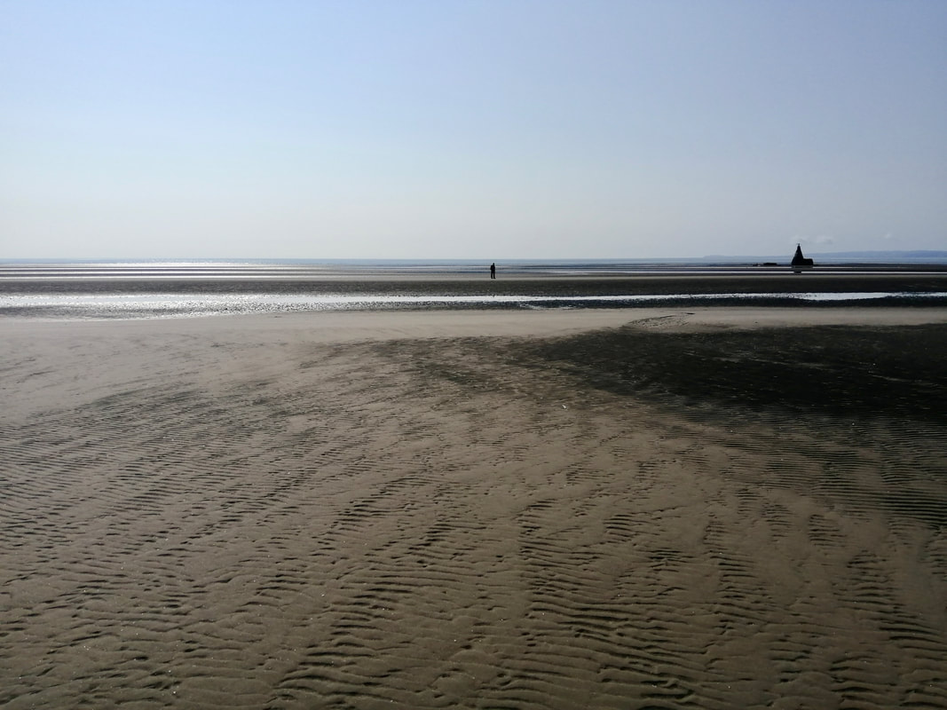
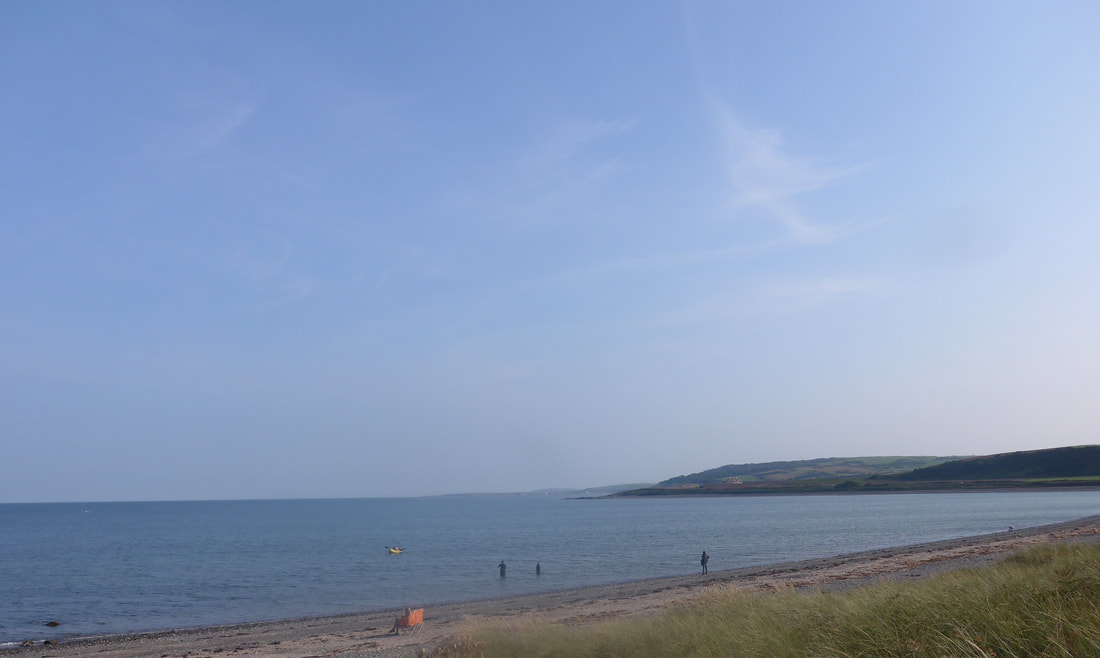
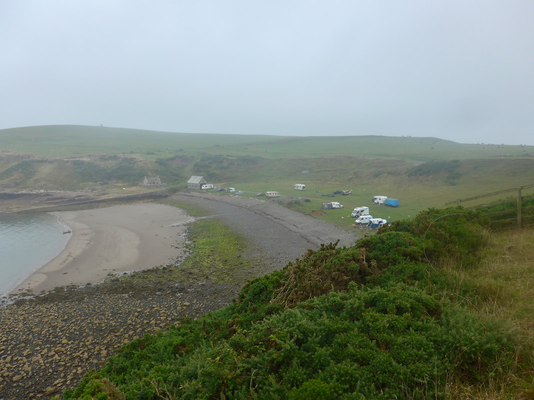
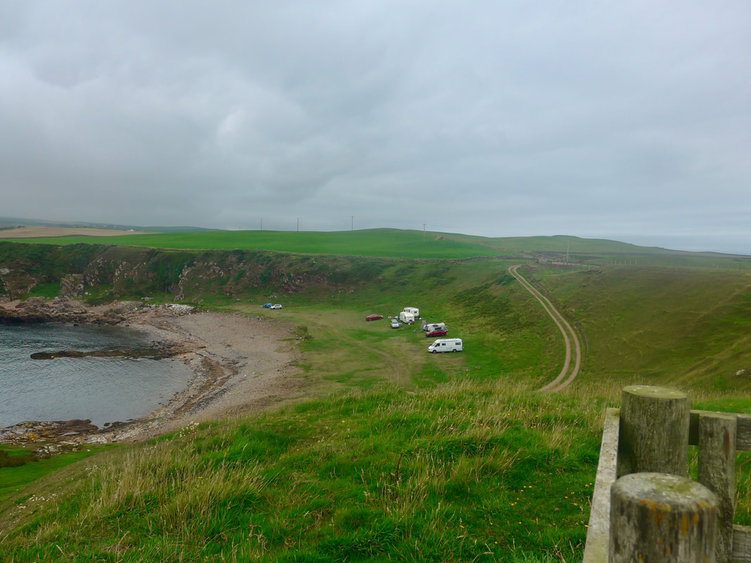
Portamaggie is a nice little bay with a beach grounding of mixed sand and gravel. There is more of the sand to be had when the tide is out. Just off the shoreline you can see the remains of the a small ship (MV Craigantlet), that ran aground in the bay in 1982. The Killantringan Lighthouse, with its distinctive black top and white bottom, sits on a headland just above Portamaggie. Commissioned in 1897, it was designed by David Alan Stevenson. The light was automated in 1988 and the lighthouse itself considered surplus to requirements in 2005. The lighthouse and the surrounding buildings are now owned privately.
Portamaggie is a nice little bay with a beach grounding of mixed sand and gravel. There is more of the sand to be had when the tide is out. Just off the shoreline you can see the remains of the a small ship (MV Craigantlet), that ran aground in the bay in 1982. The Killantringan Lighthouse, with its distinctive black top and white bottom, sits on a headland just above Portamaggie. Commissioned in 1897, it was designed by David Alan Stevenson. The light was automated in 1988 and the lighthouse itself considered surplus to requirements in 2005. The lighthouse and the surrounding buildings are now owned privately.
Portamaggie & Killantringan Lighthouse
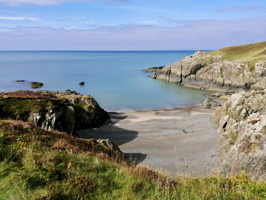
 Killantringan Bay to Knock Bay
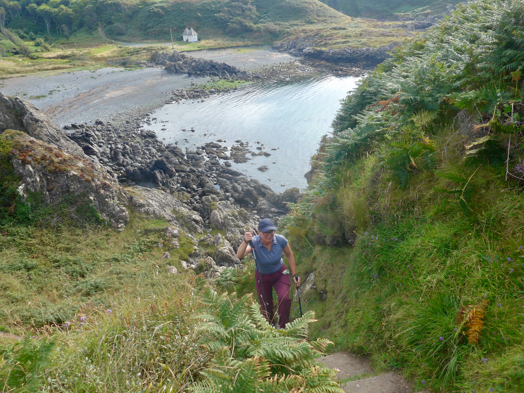
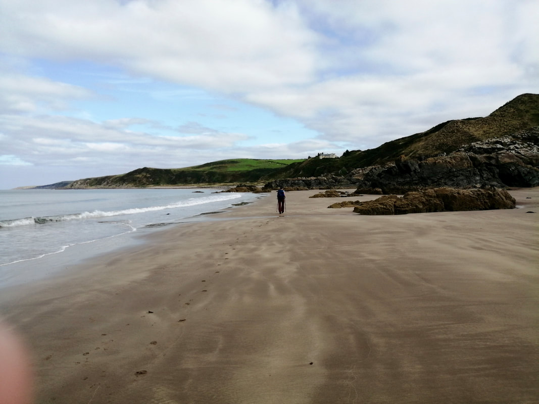
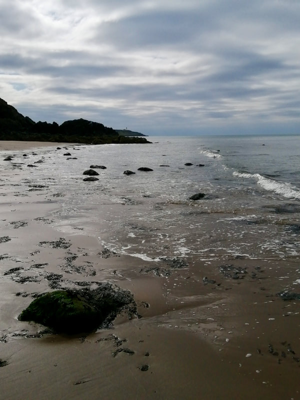
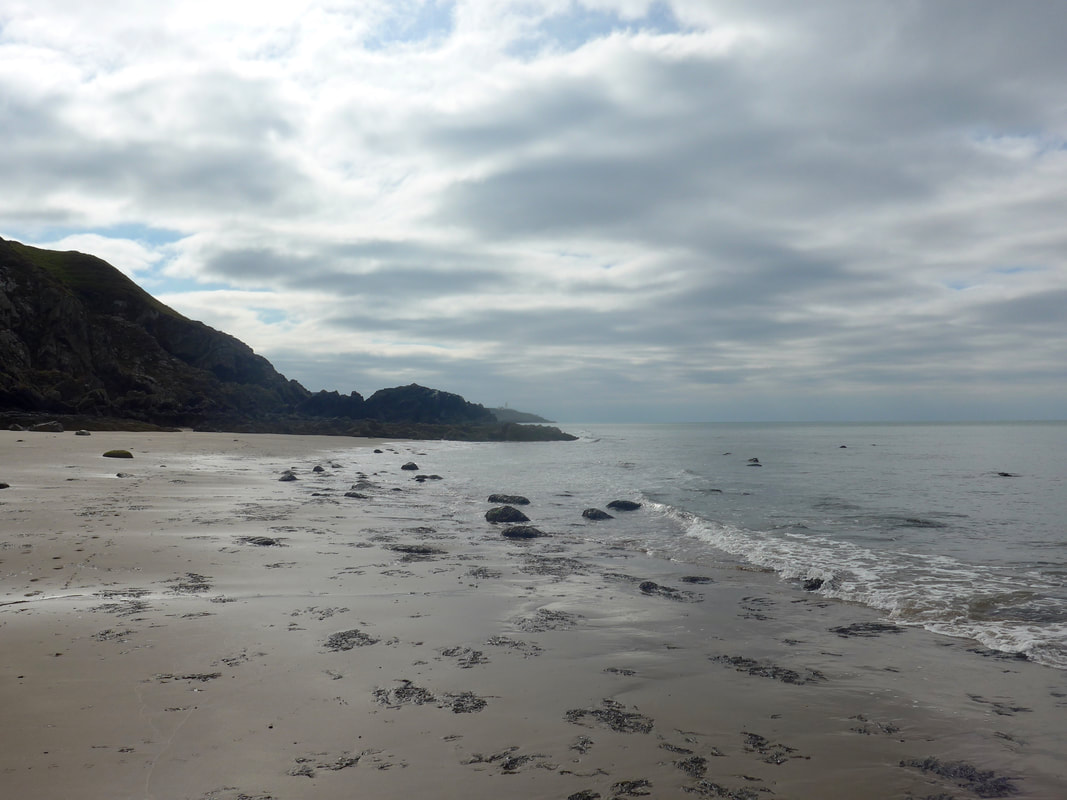
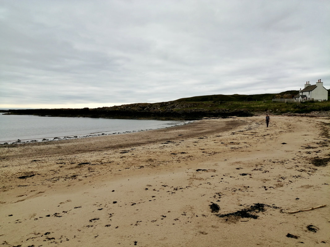
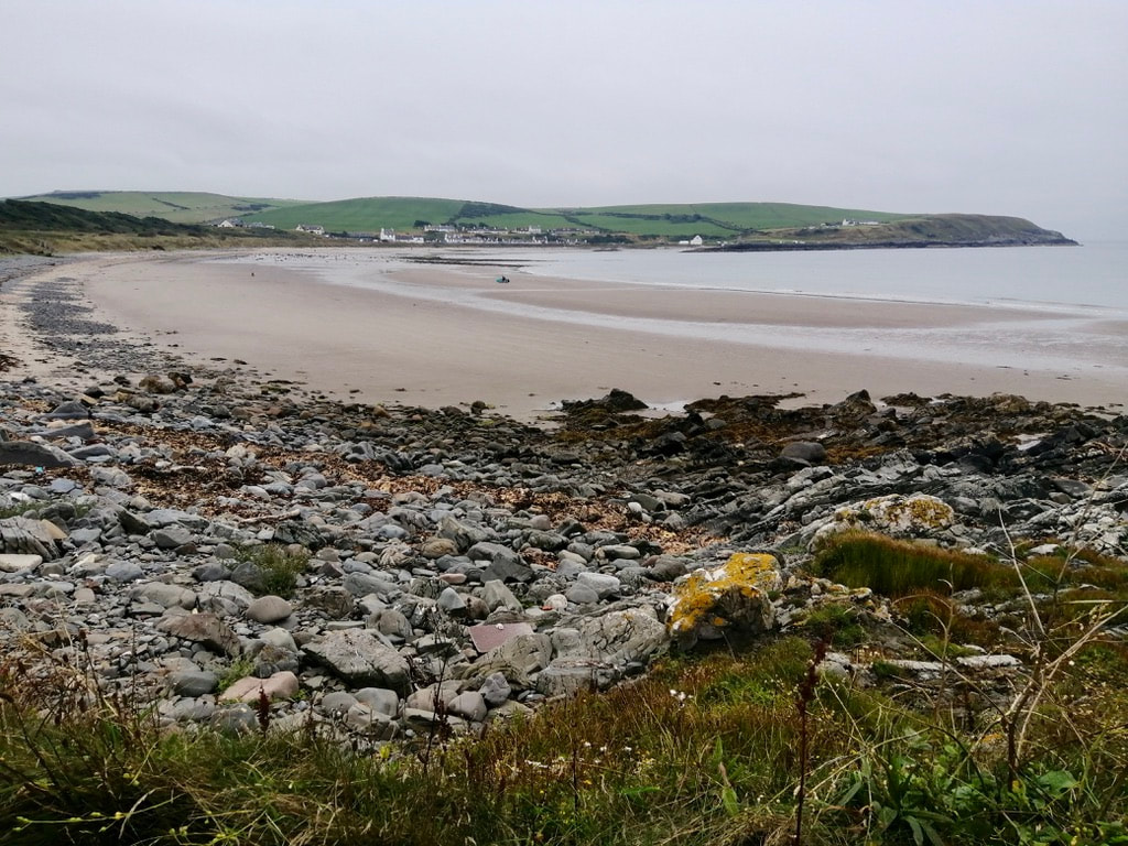
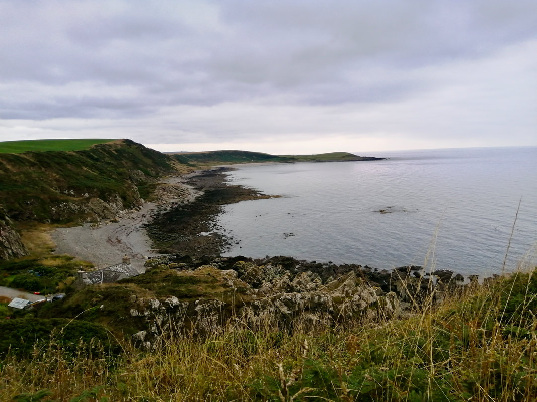
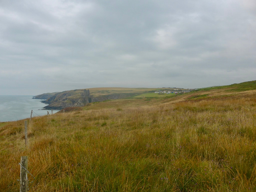
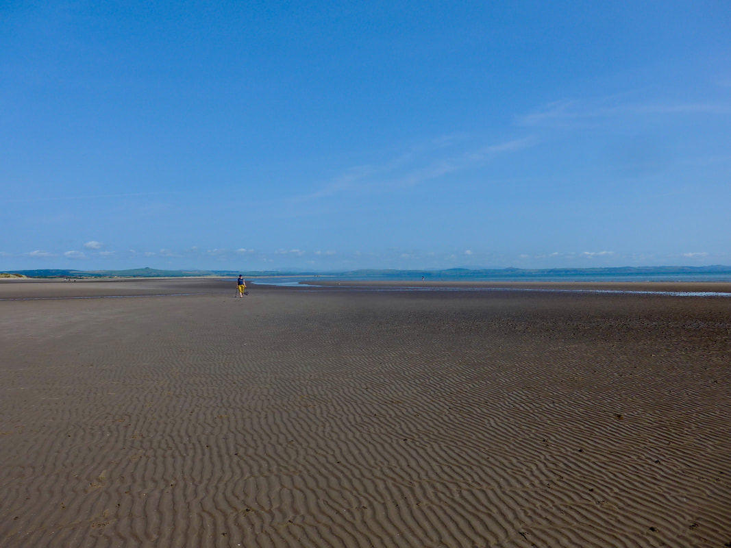
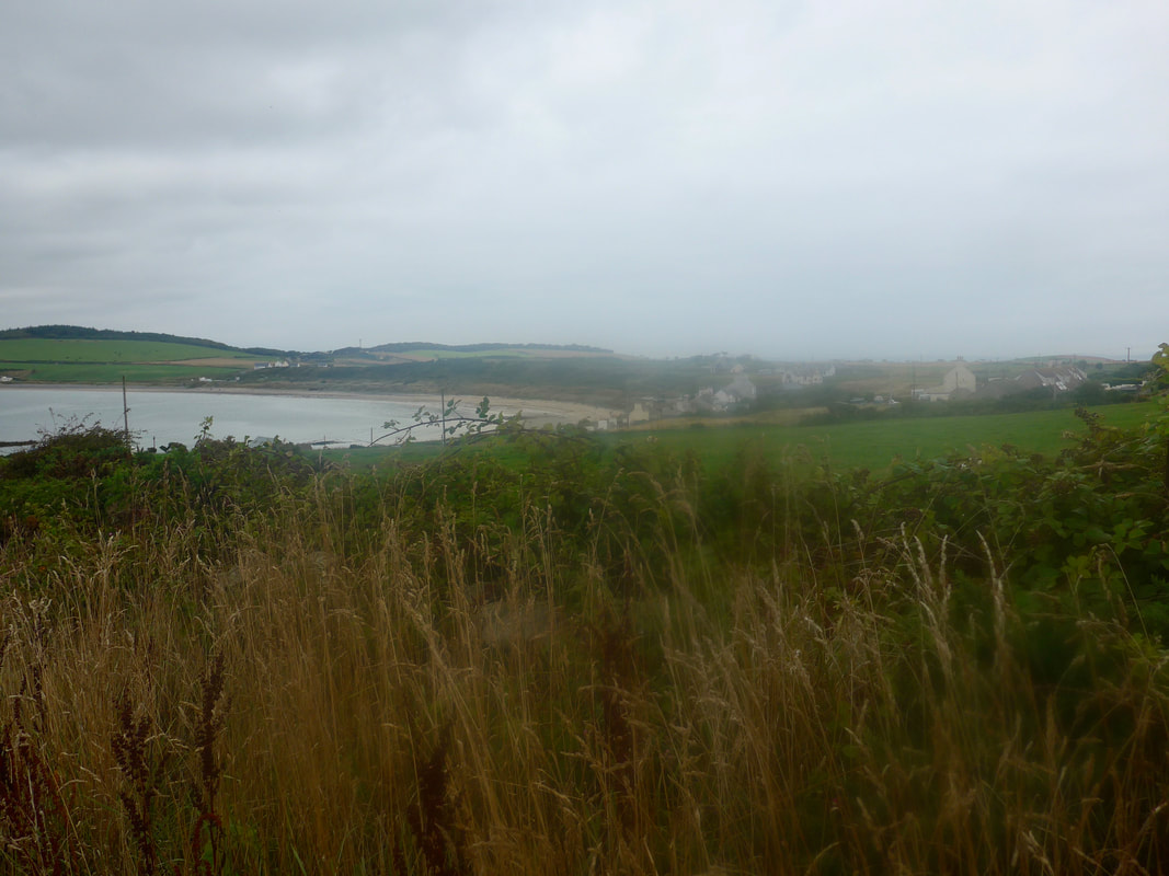
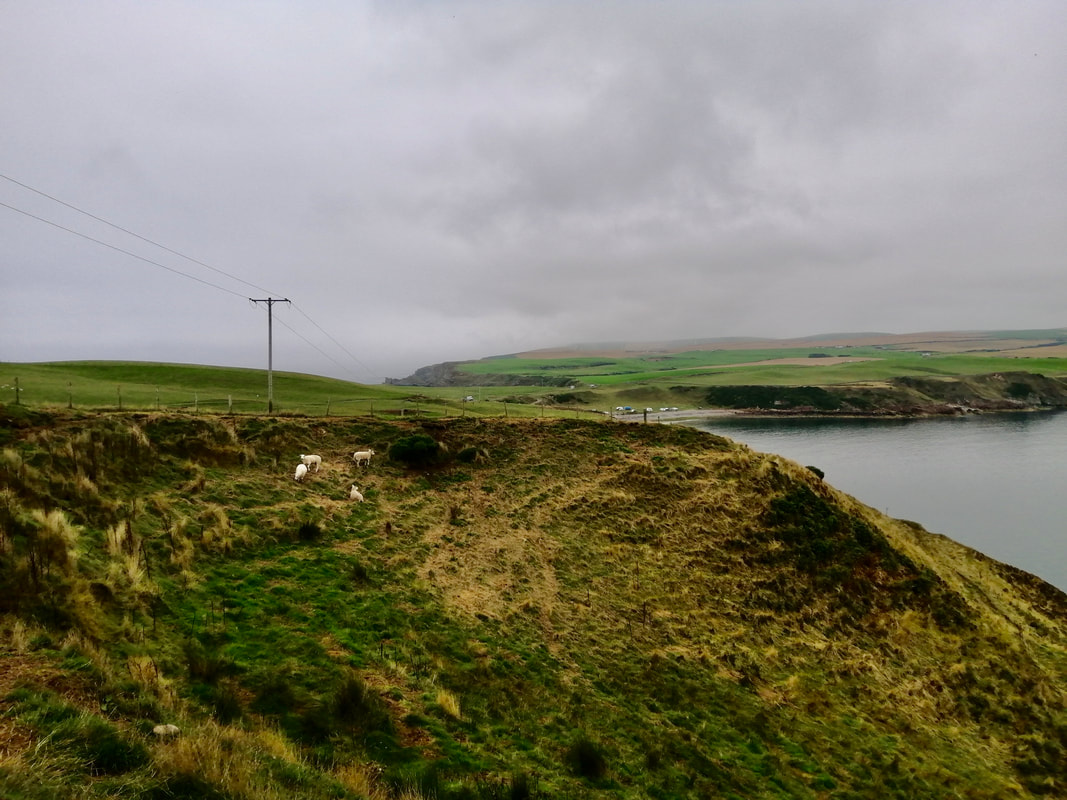
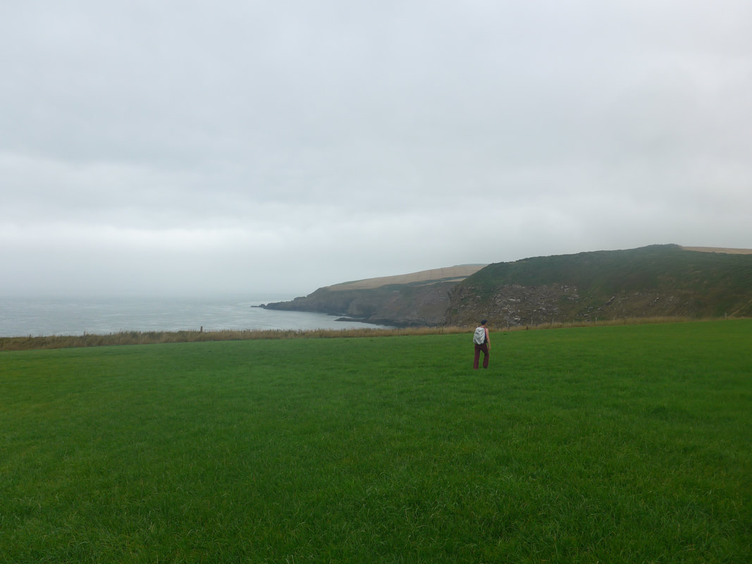
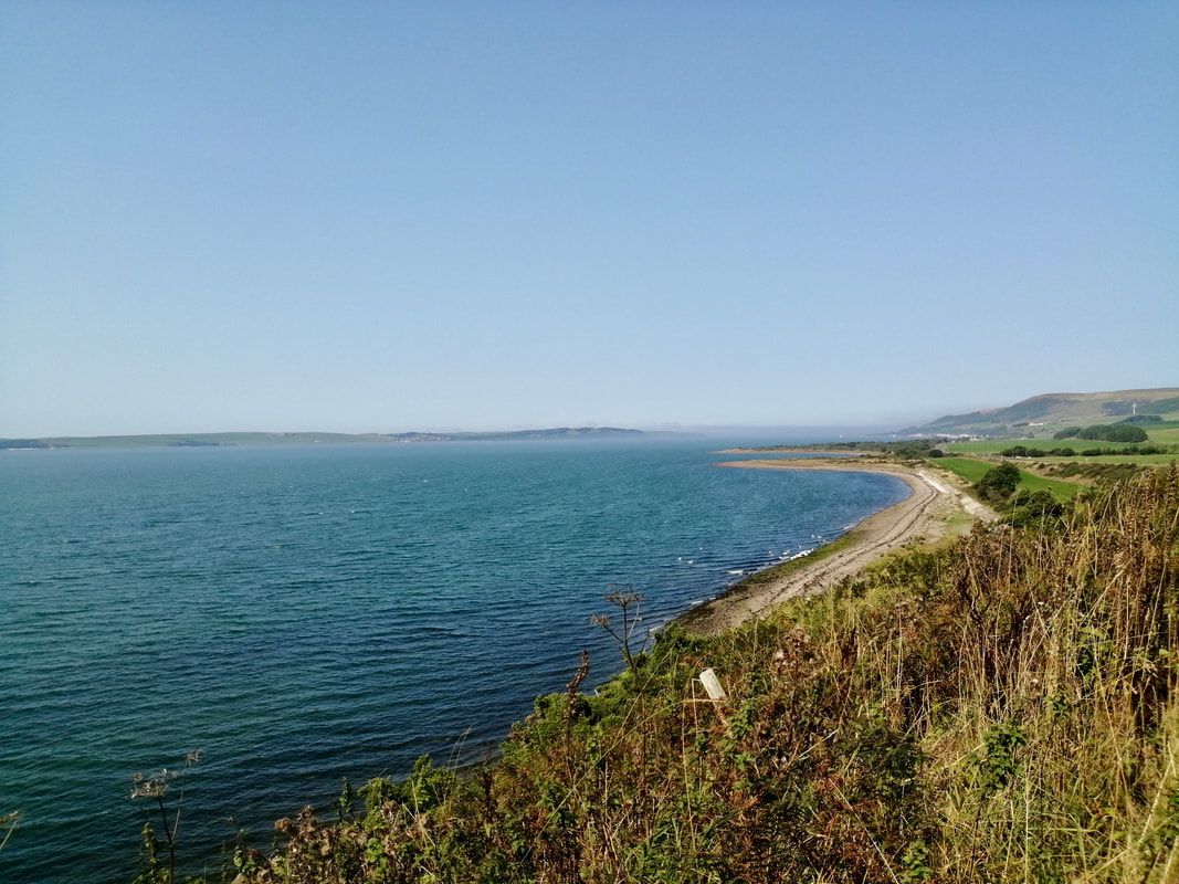
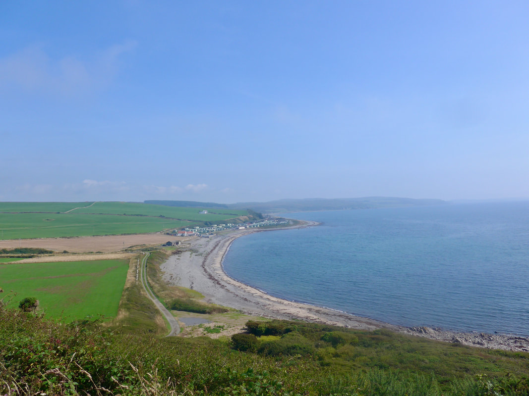
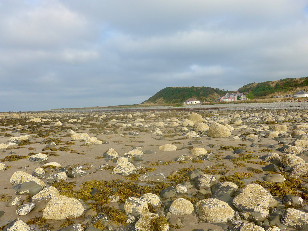
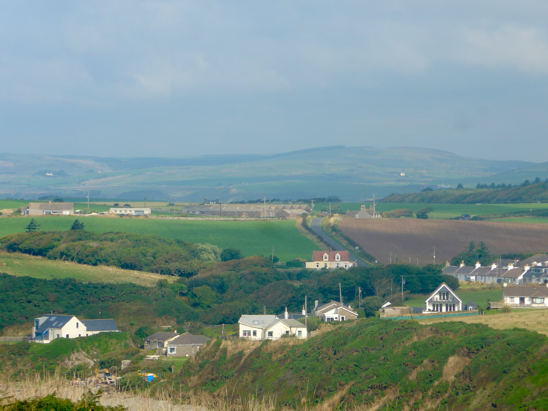
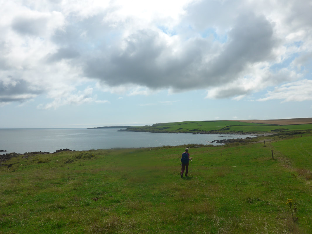
 It is a short walk from the lighthouse to the lovely, sandy Killantringan Bay. To the right of the southern end of the bay there are the scant remains of an as yet undated fortified dun. On the clifftop towards the end of the beach, the white / cream coloured Knock Bay House dominates the skyline. A modern build, it sits in 42-acres of private land with, supposedly, access to a private section of the beach. With the tide out and access to the lower beach, we were not prevented or deterred from walking on. Also on the clifftop but perhaps not so visible, is the Category B Listed Building 'House of Knock'. Built in 1908, in a slightly arts and craft mode, it is thought to have been designed by James Kennedy Hunter. Born in Ayr in 1863, where he later practised his trade for many years, Hunter was a Fellow of the Royal Institute of British Architects.
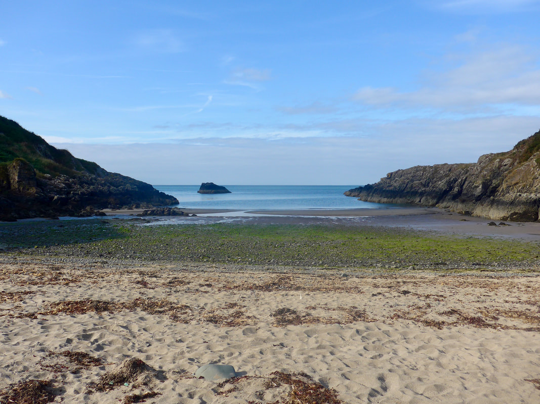
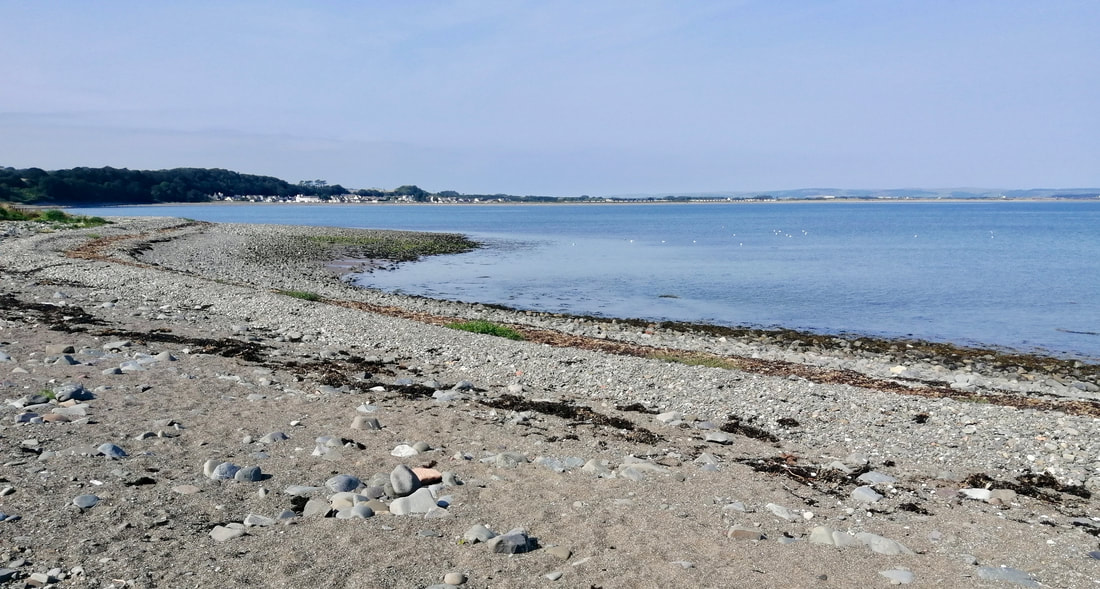
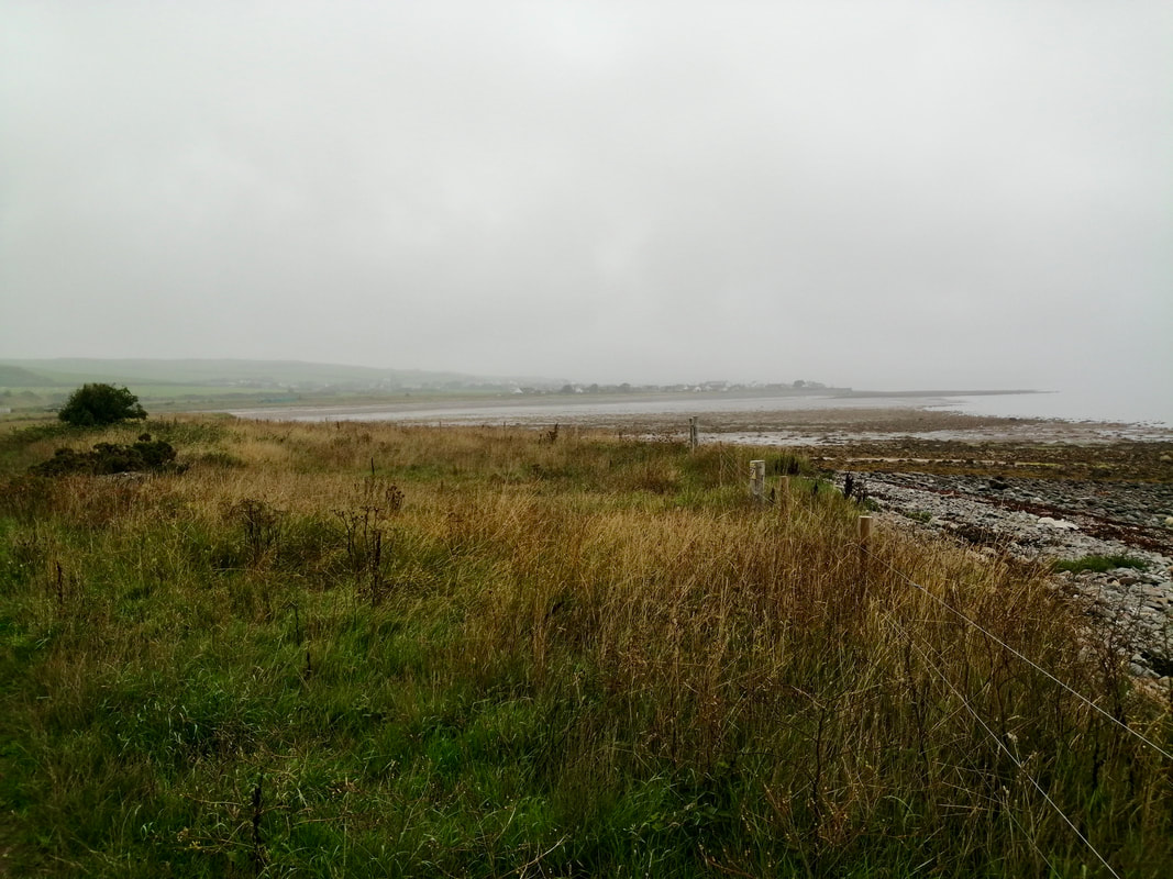
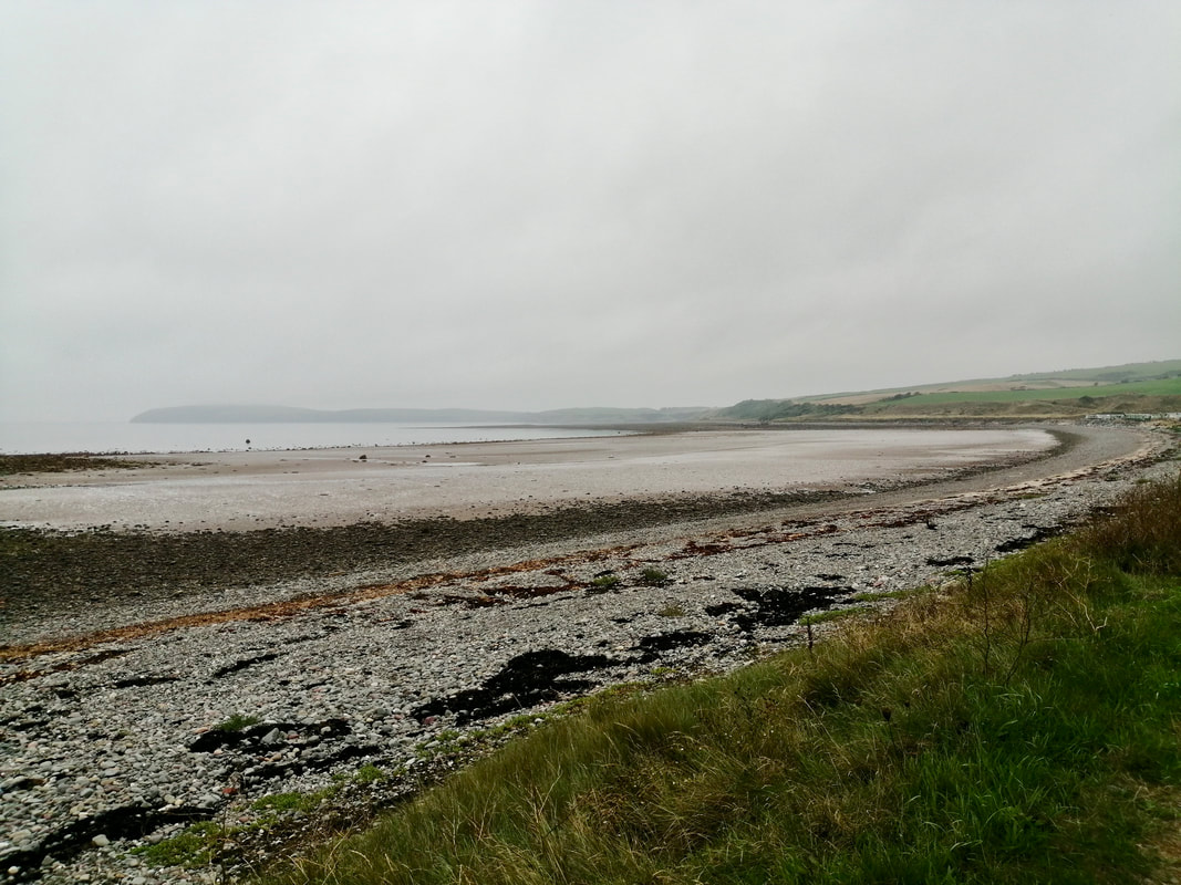
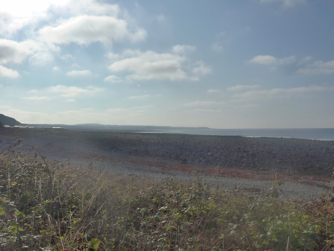
 Broadsea / Larbrax Bay
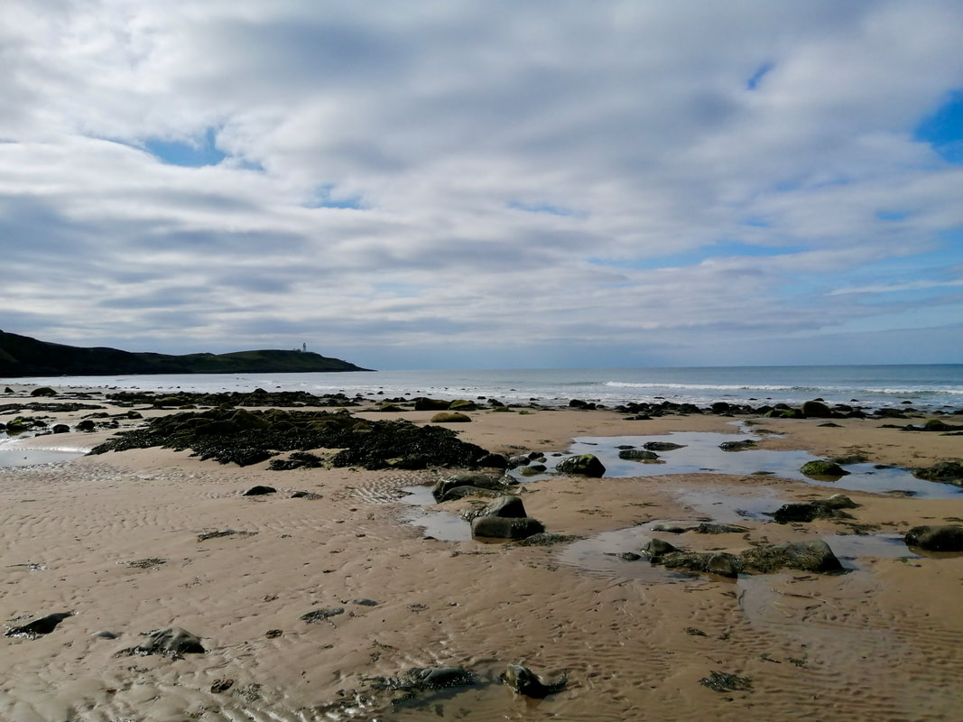
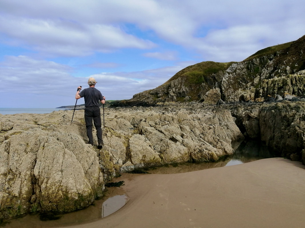
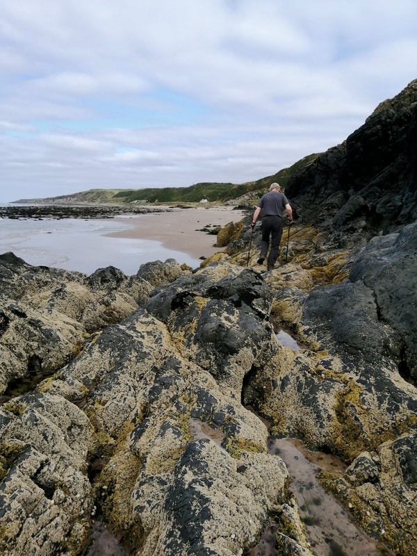
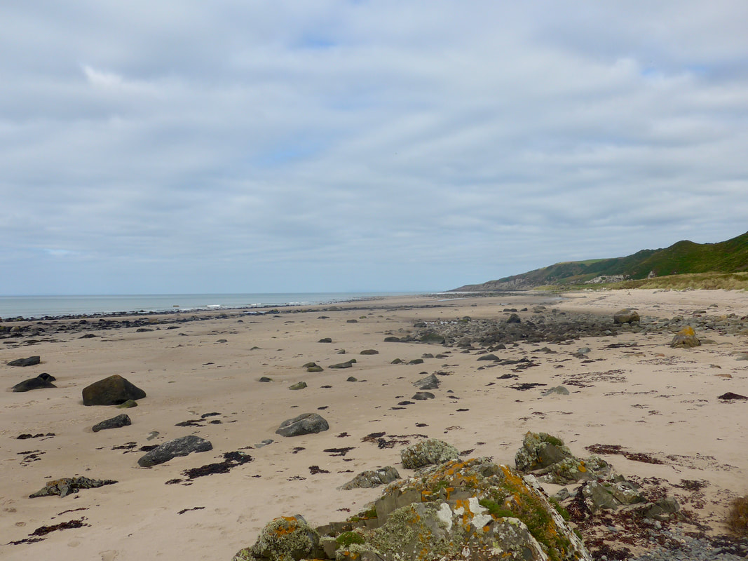
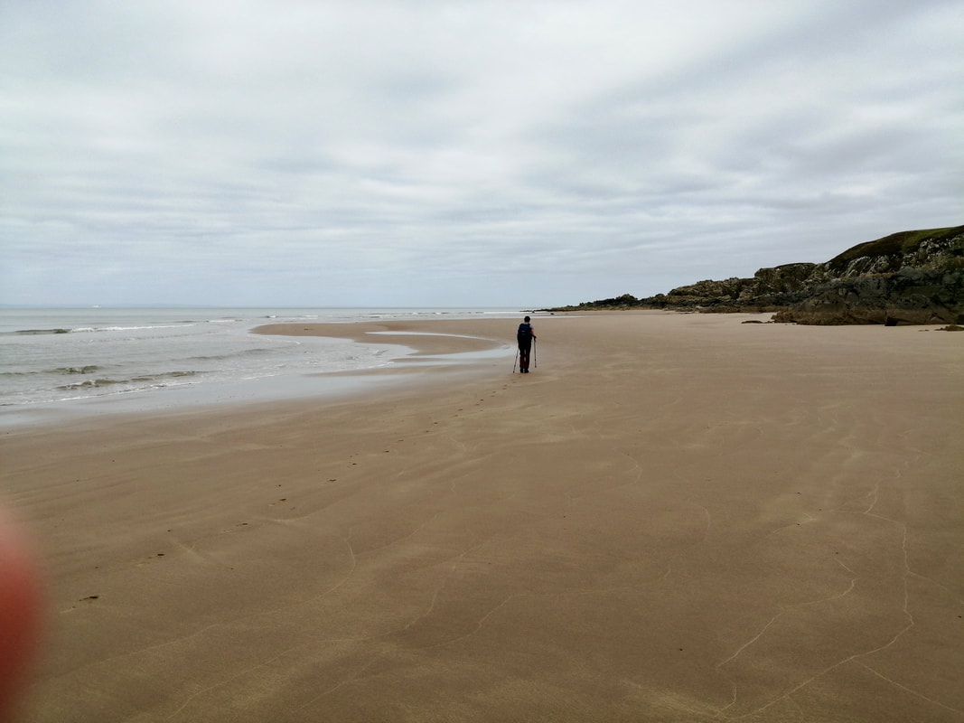
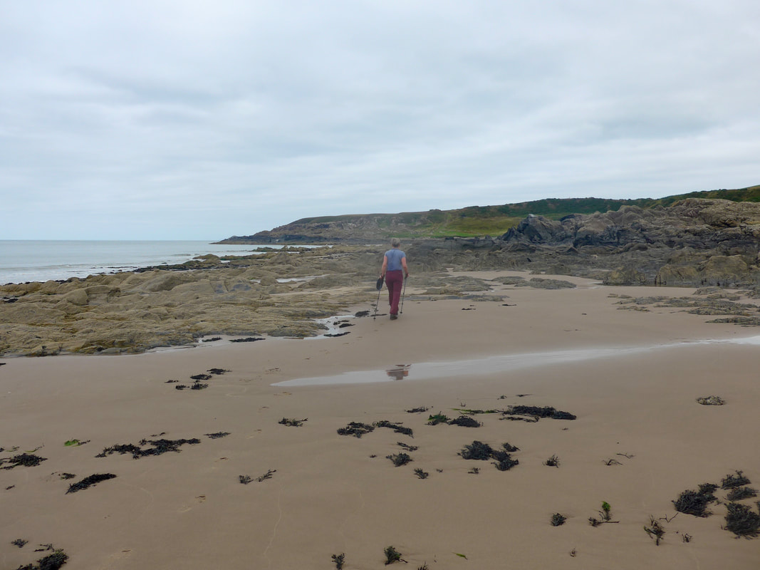
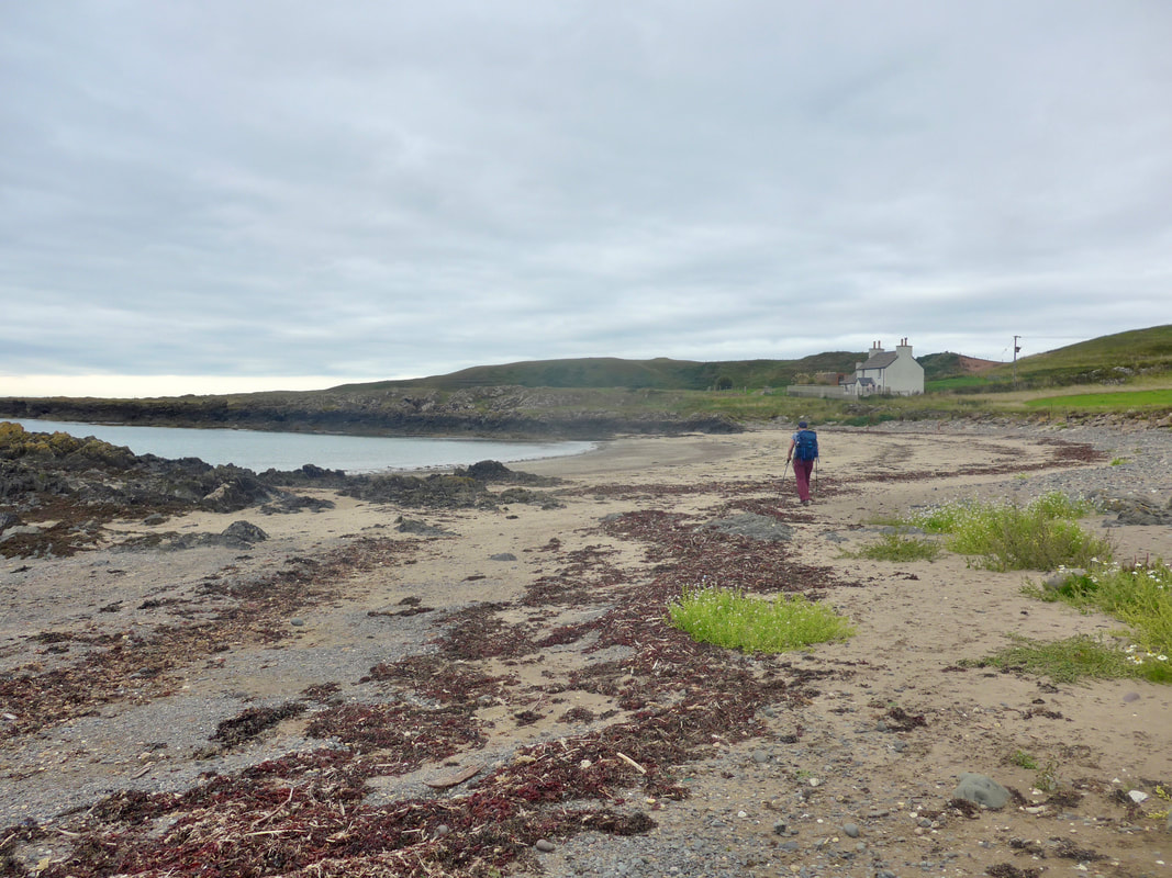
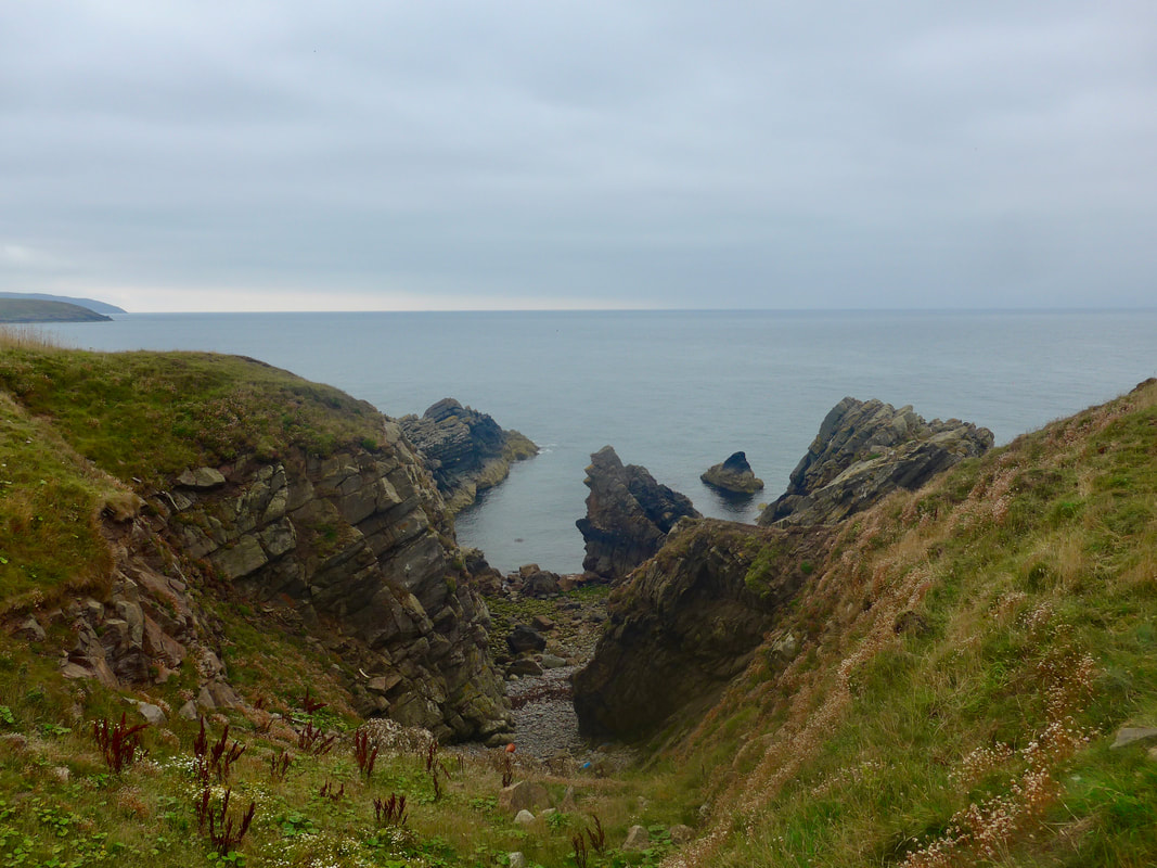
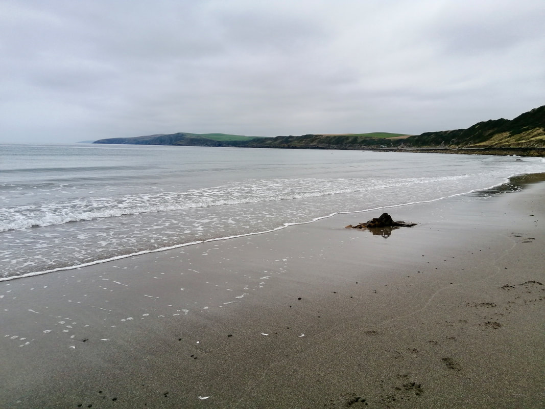
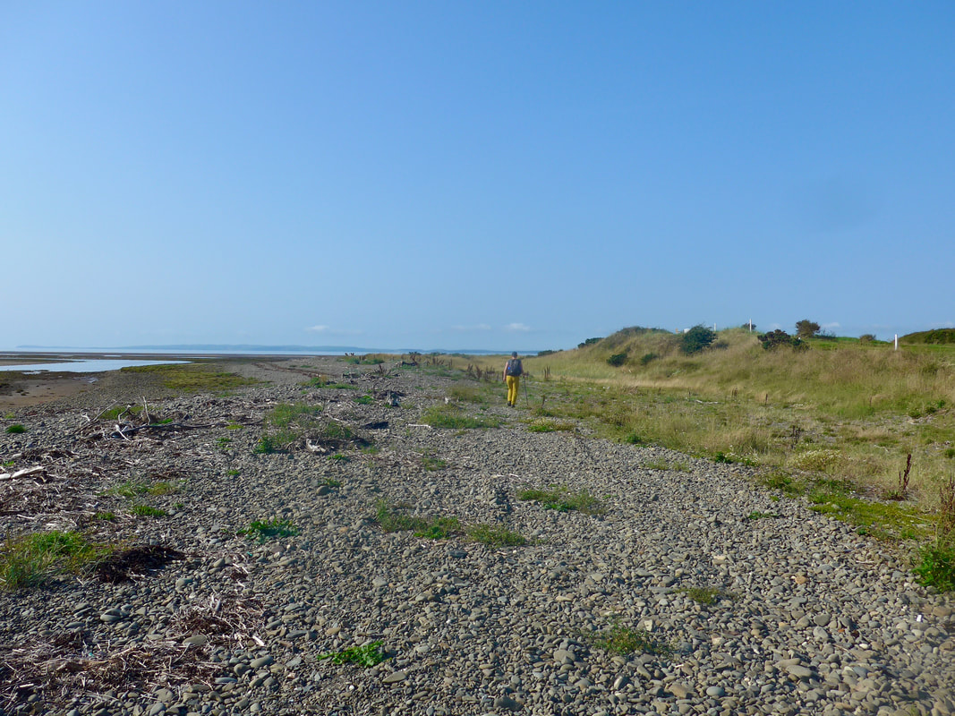
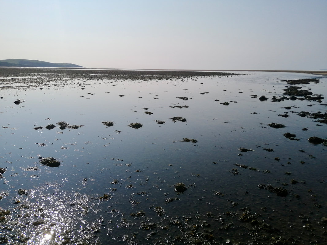
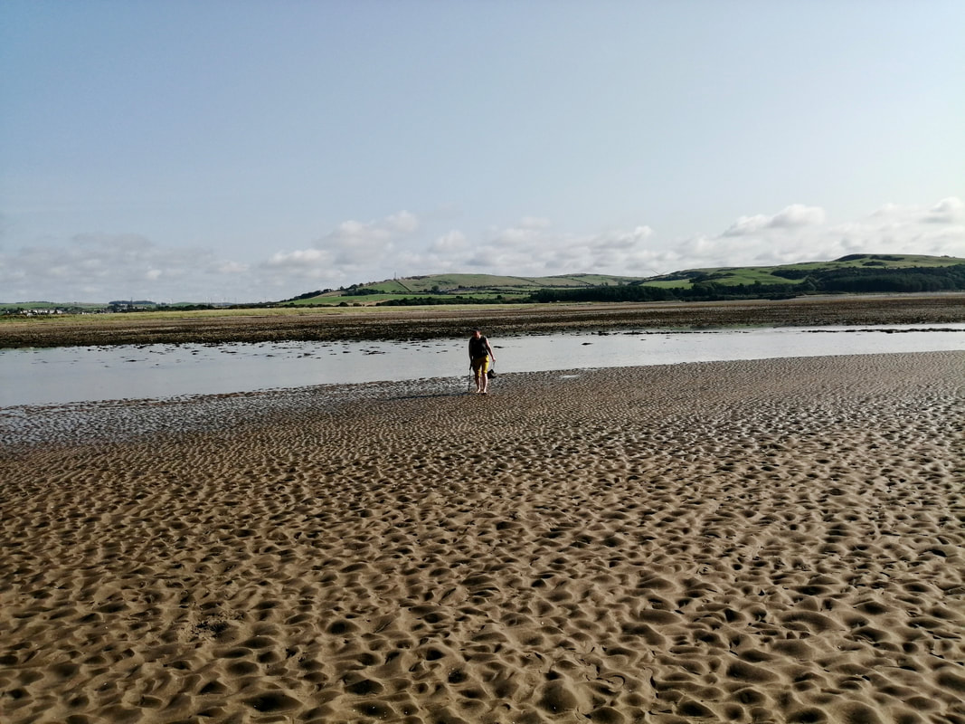
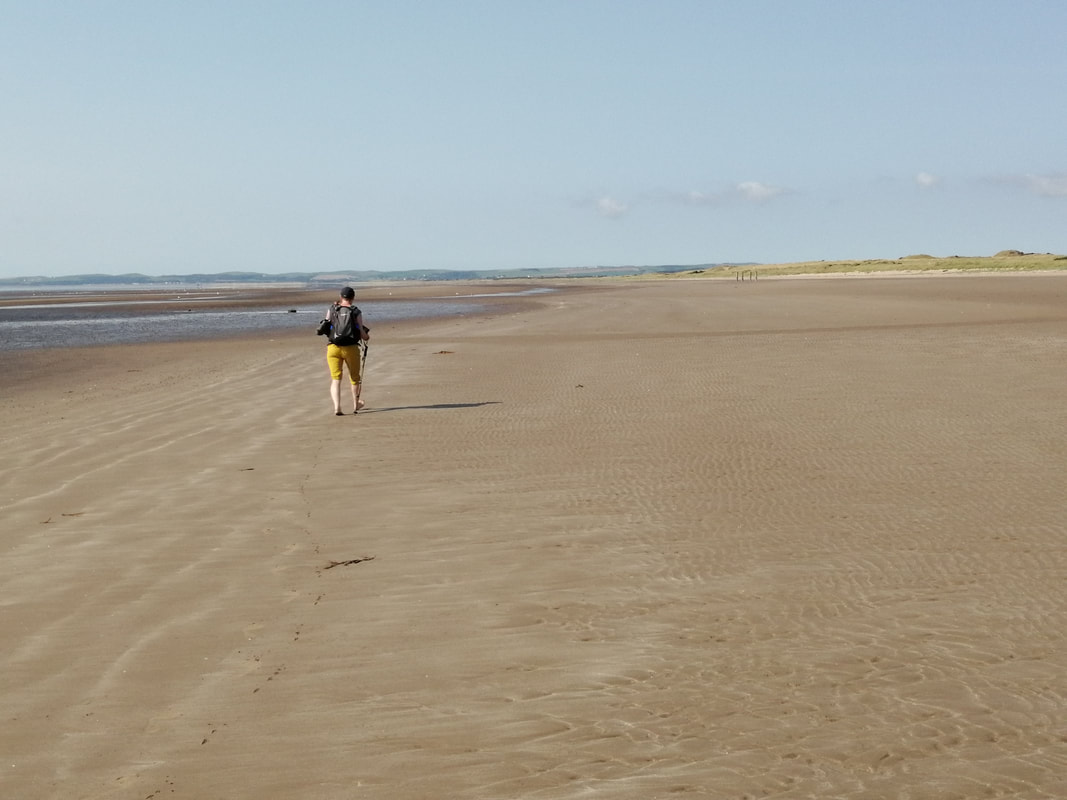
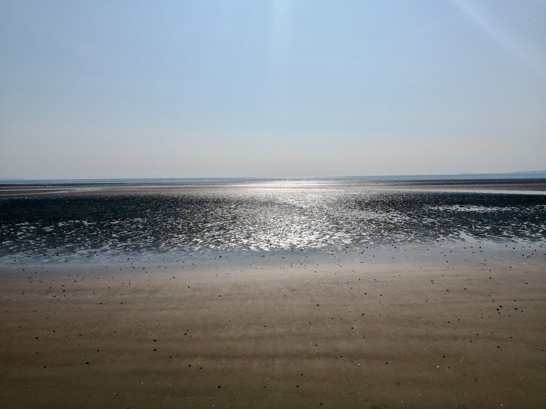
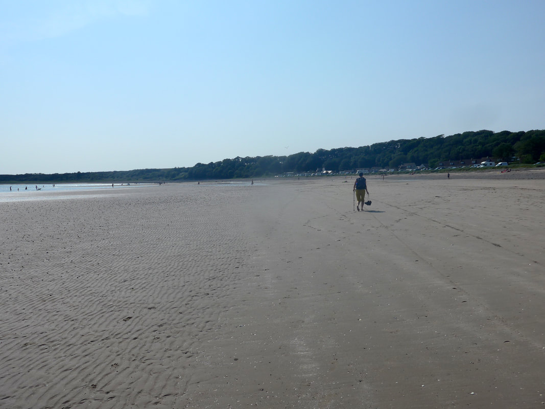
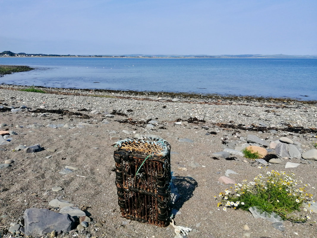
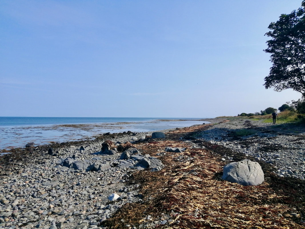
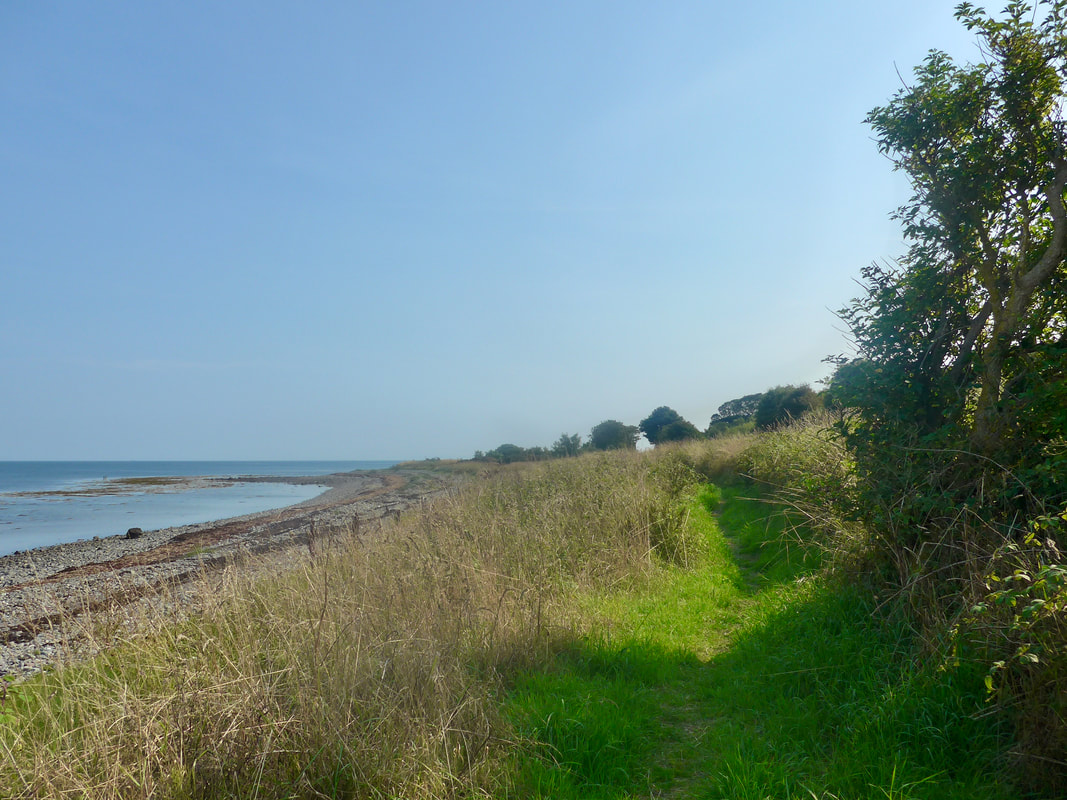
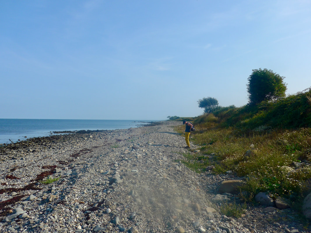
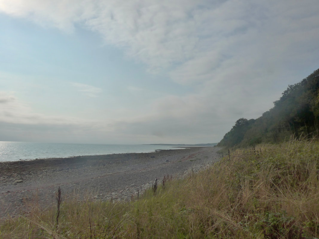
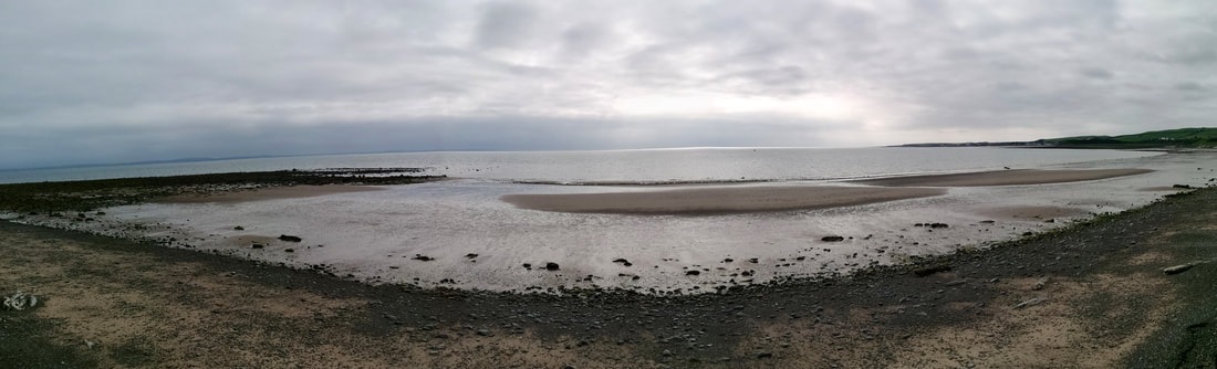
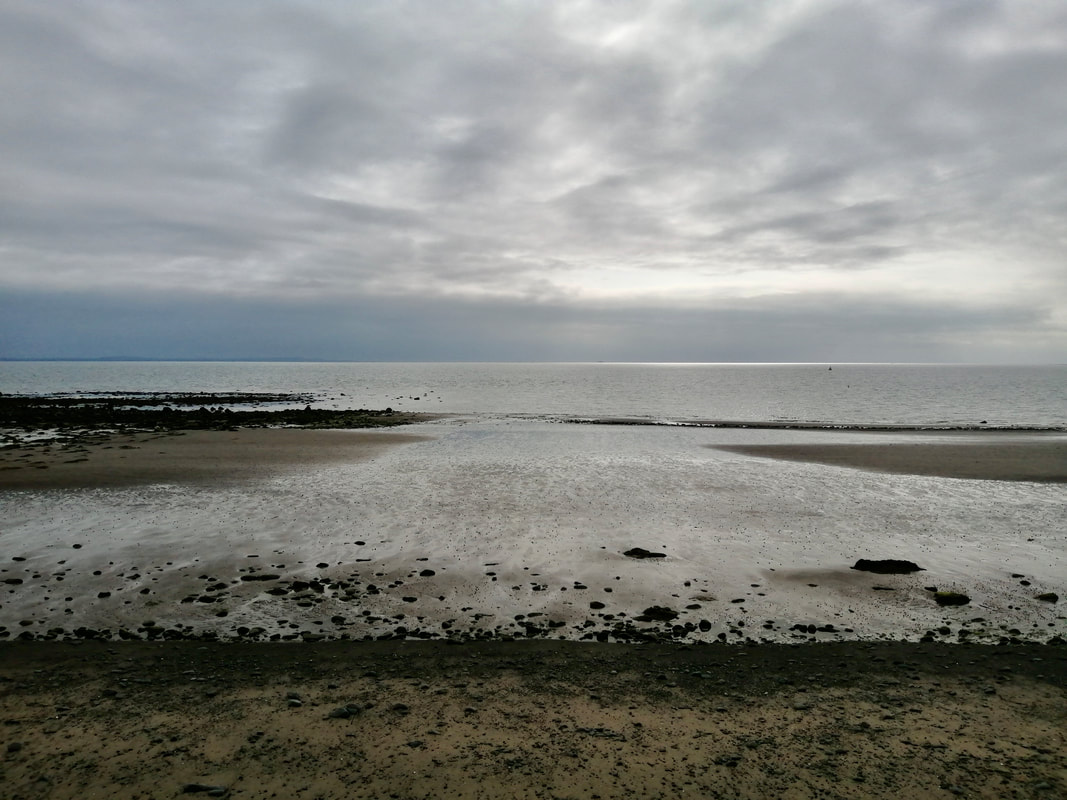
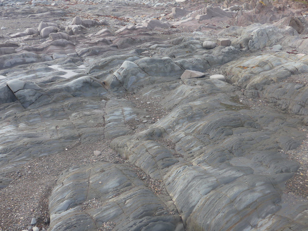
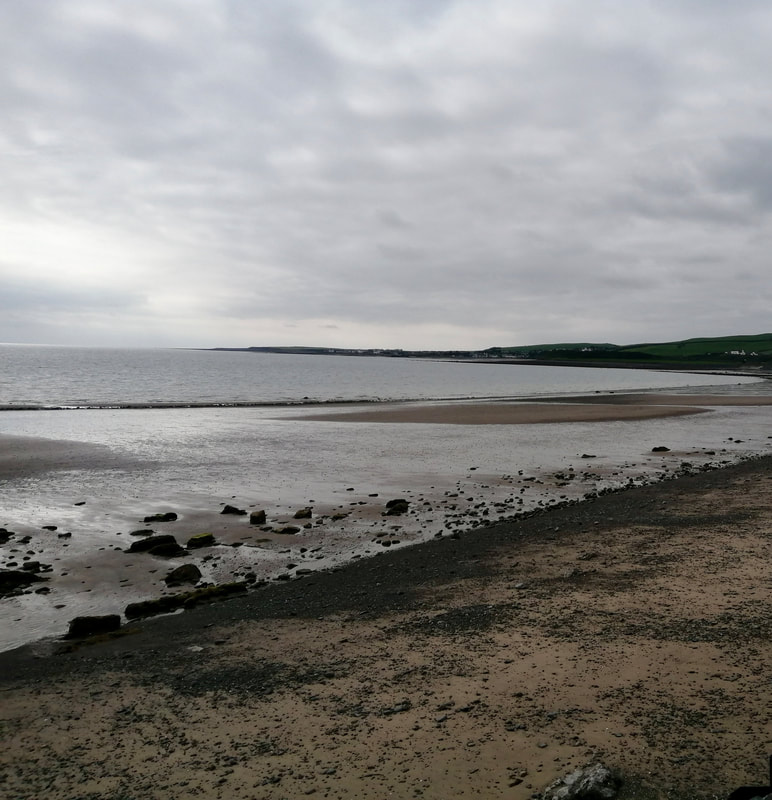
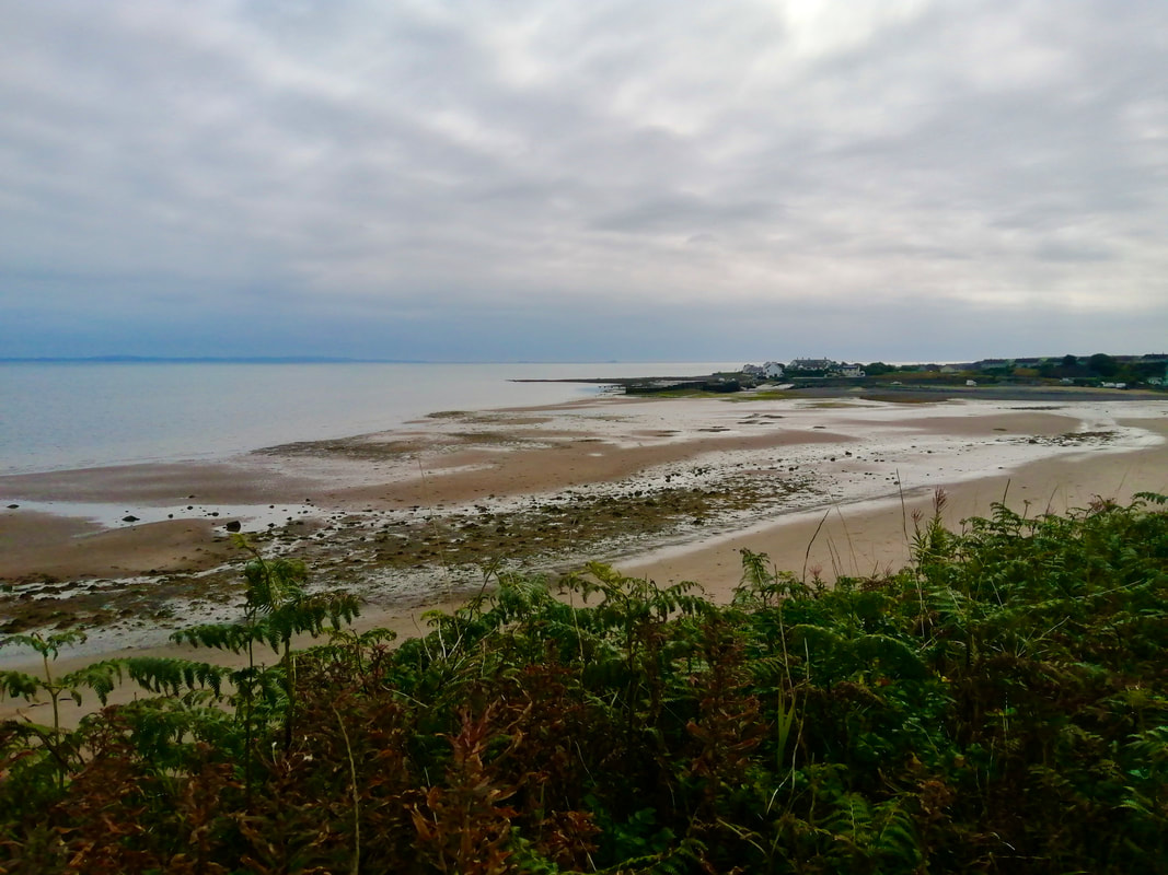
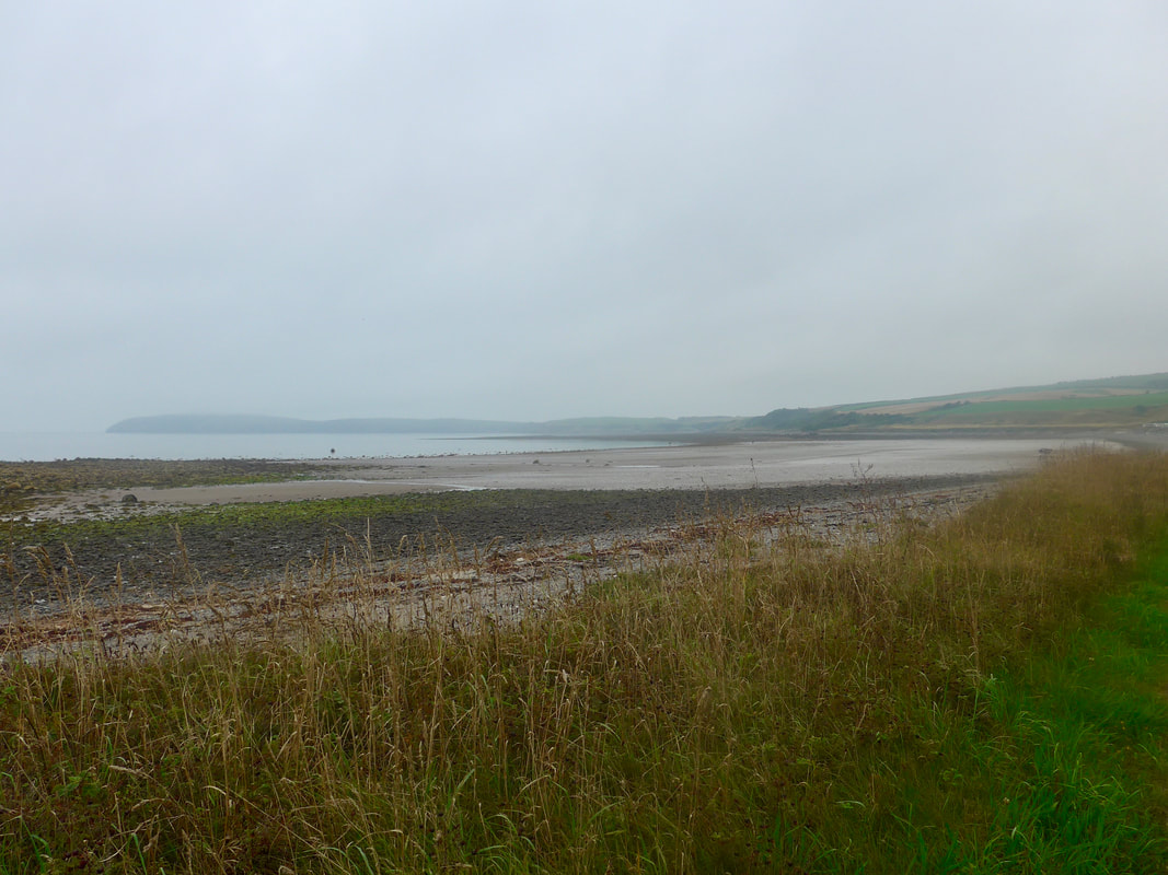
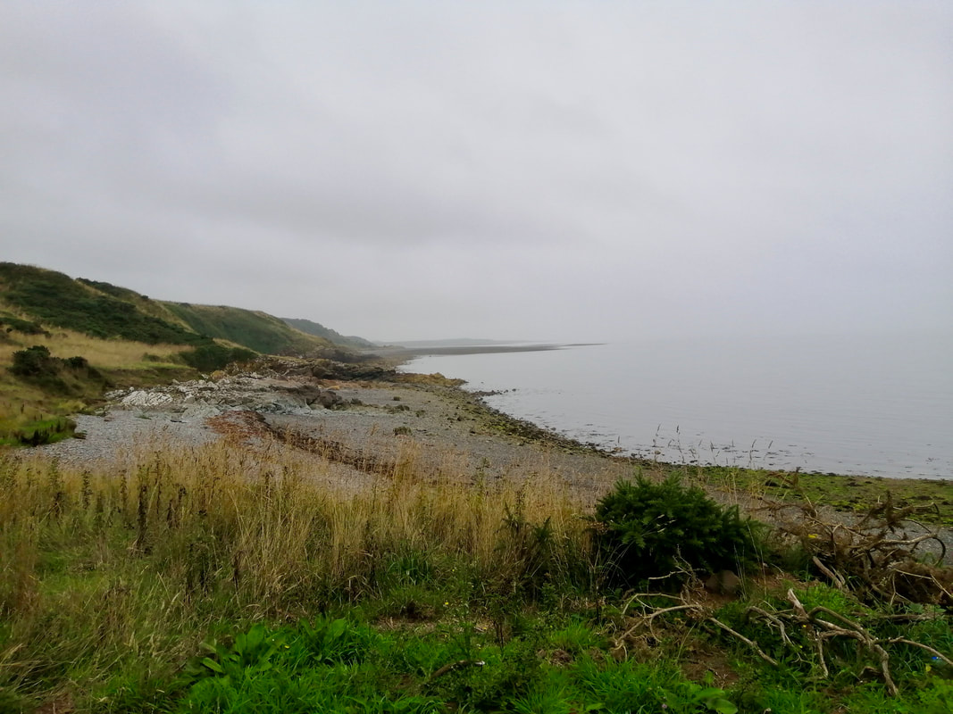
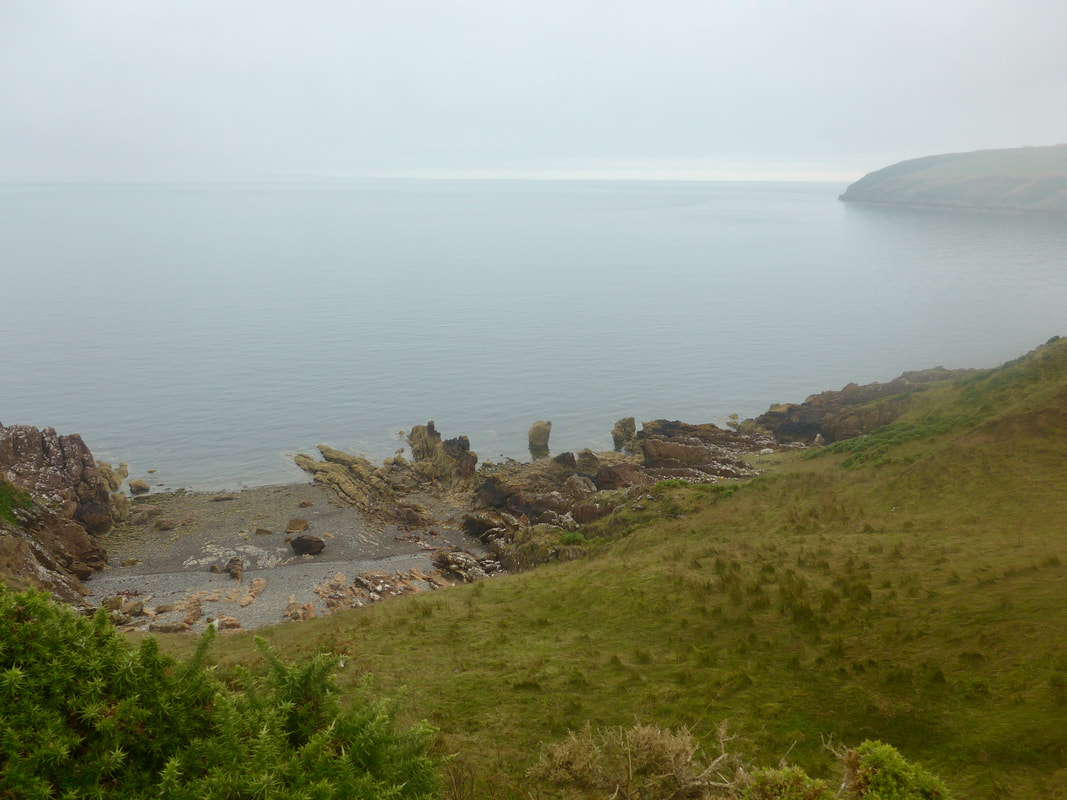
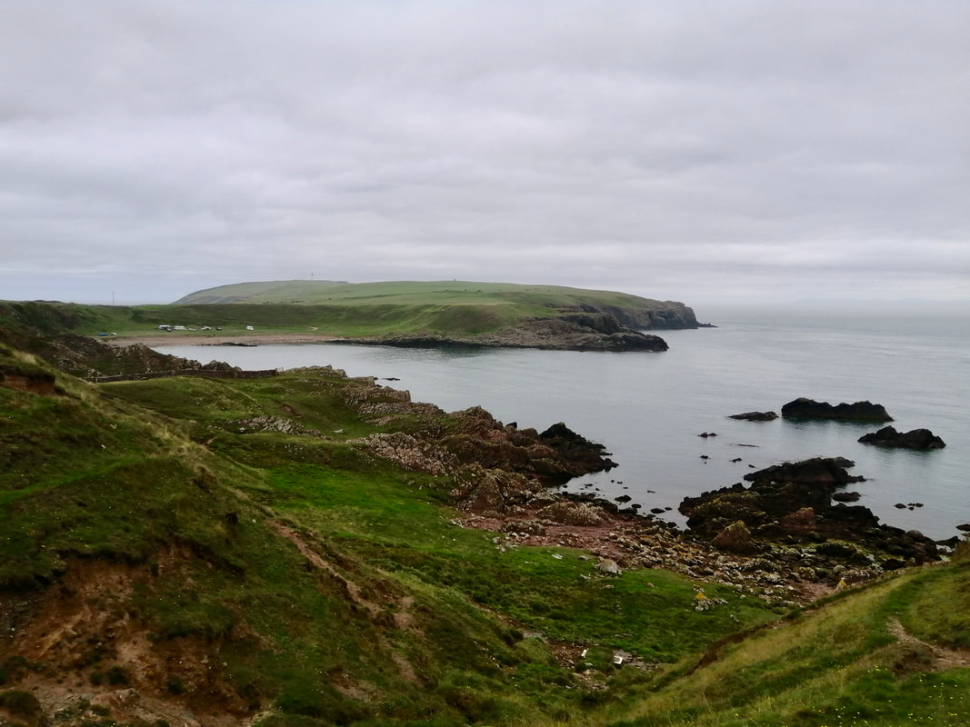
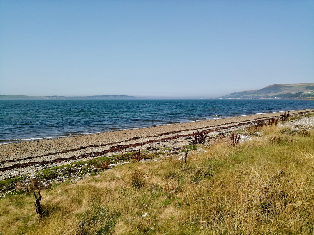
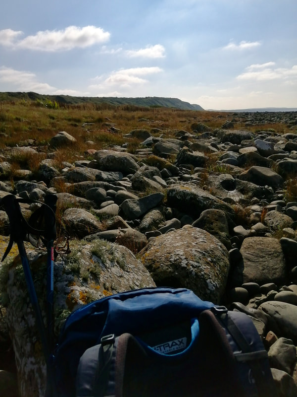
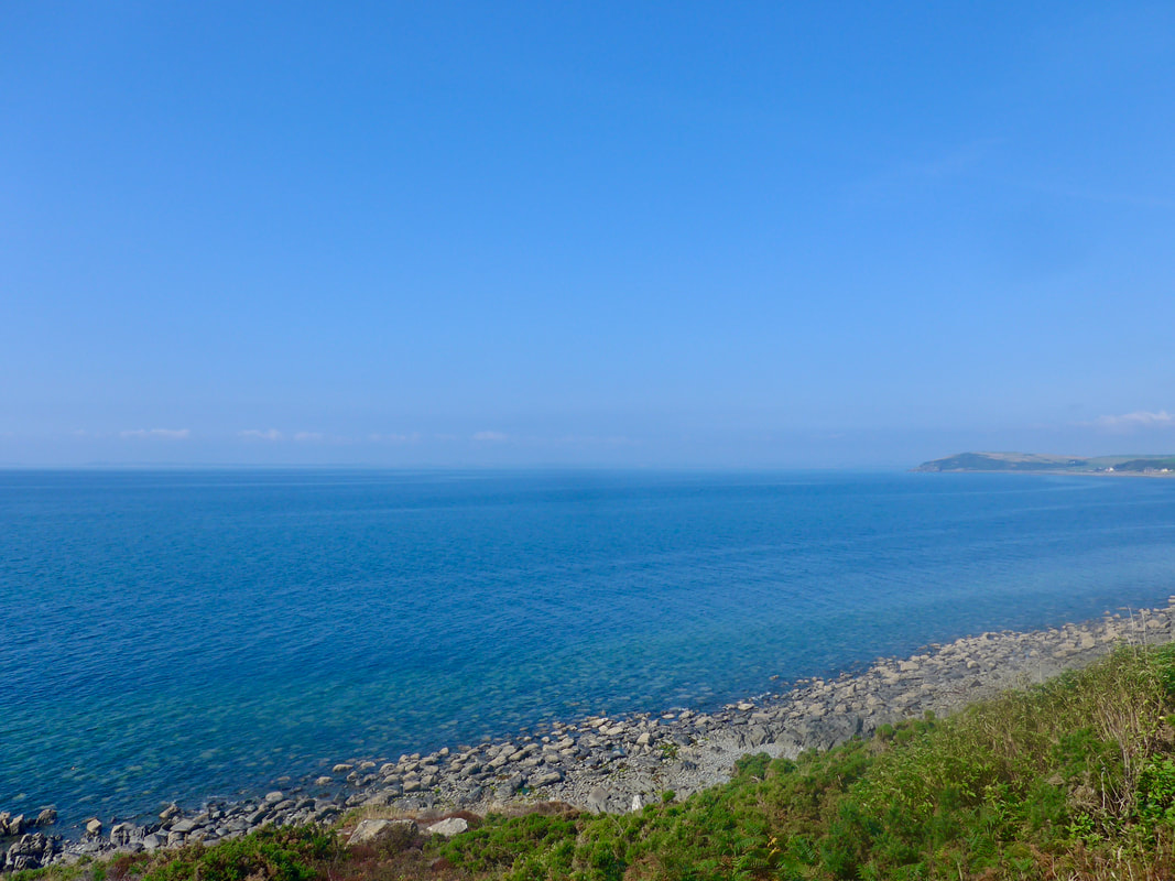
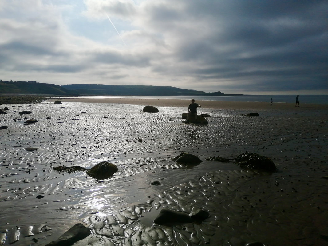
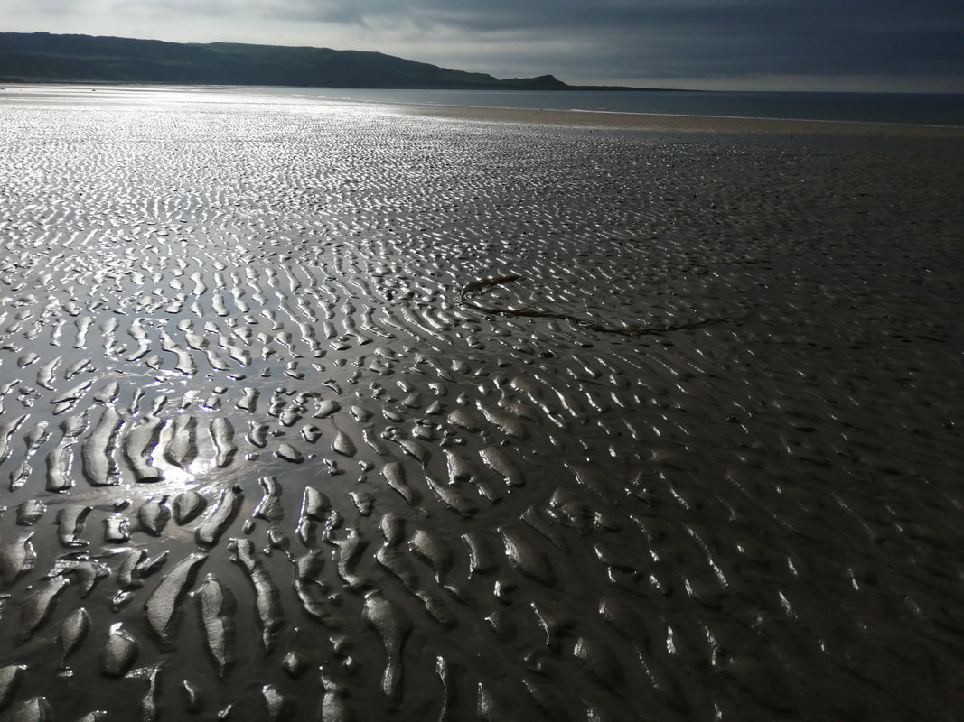
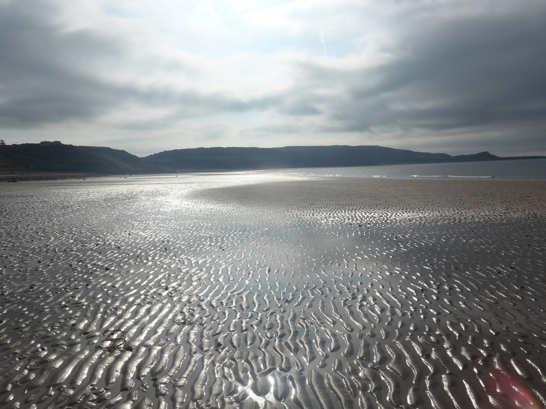
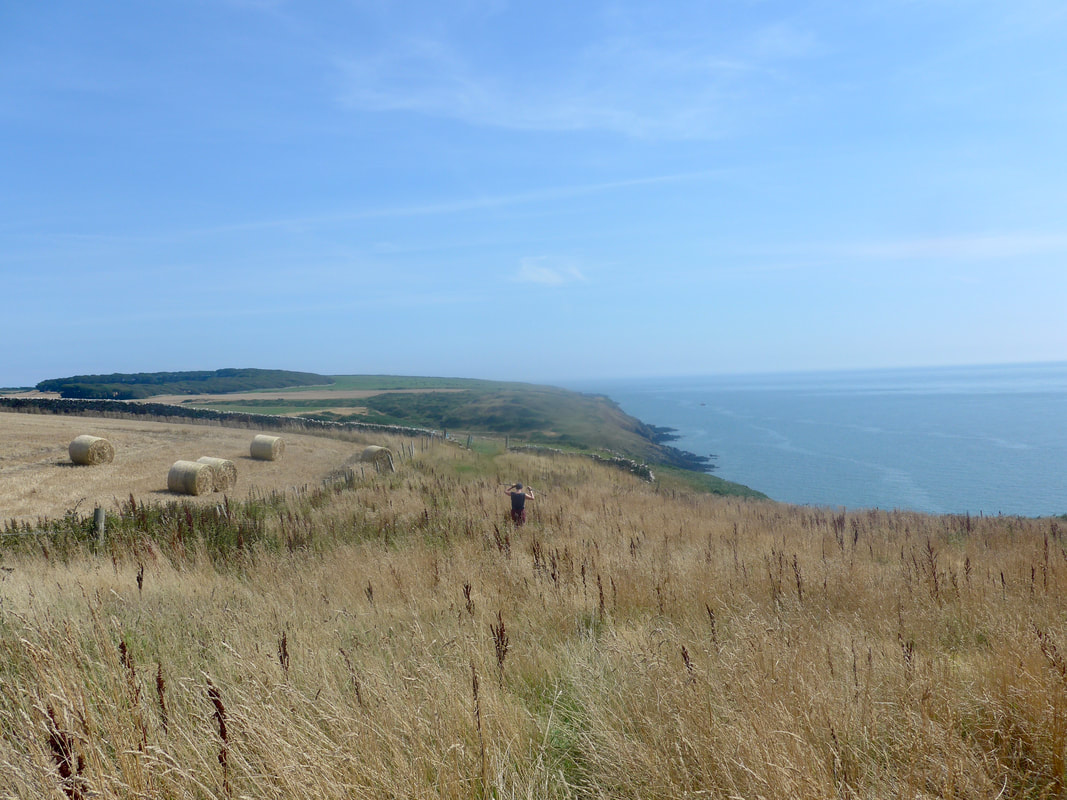
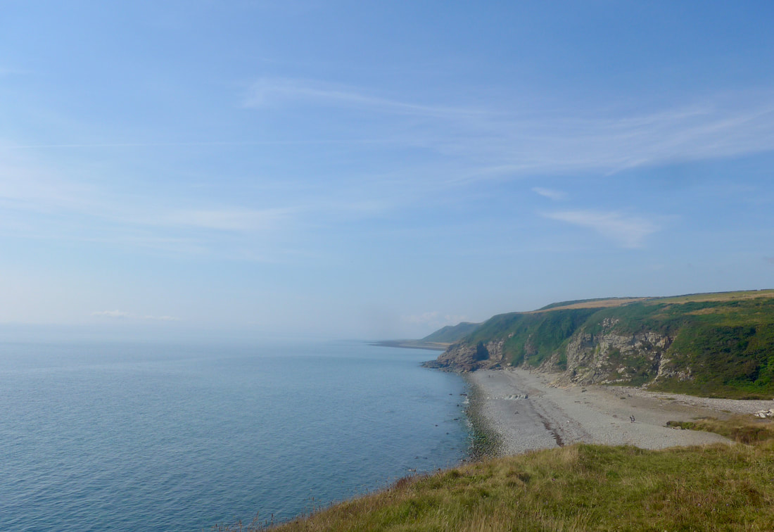
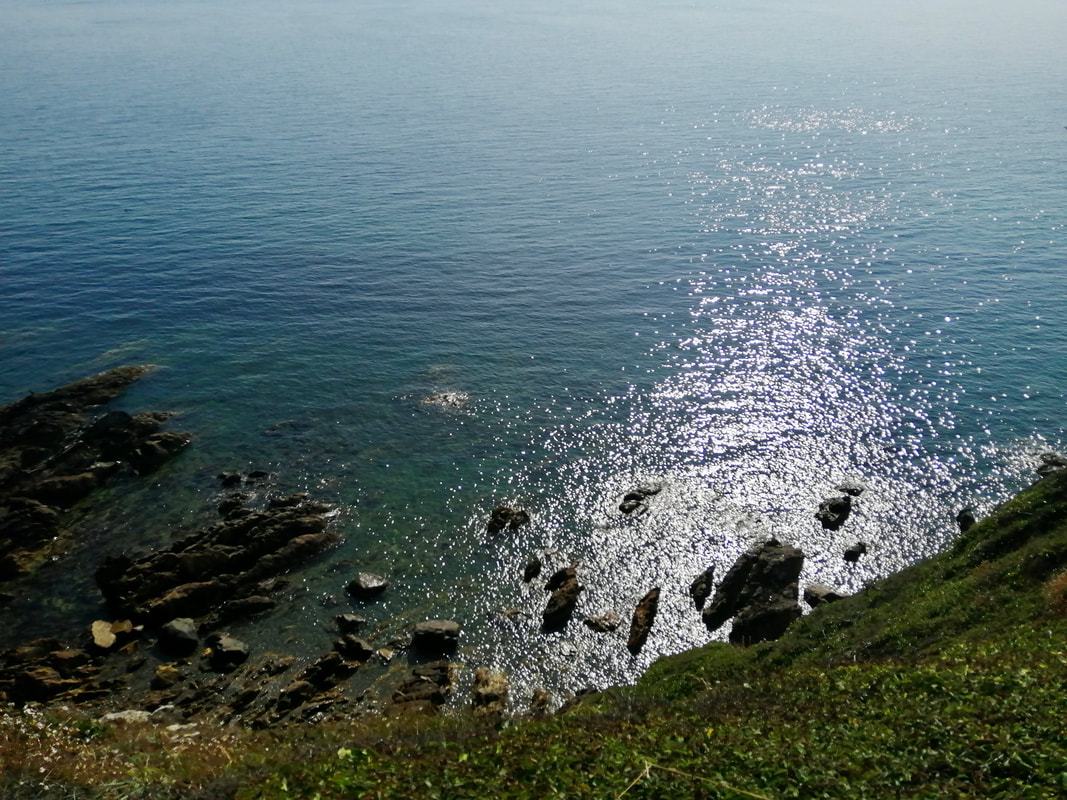
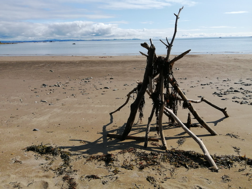
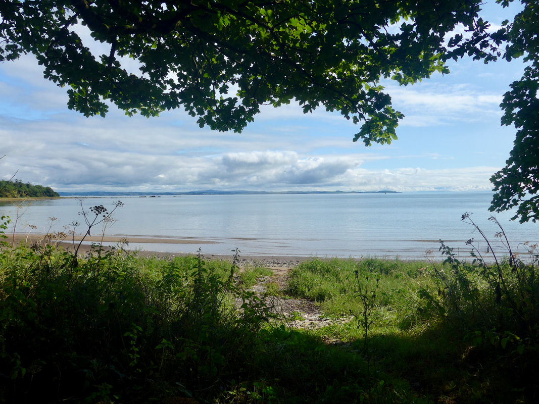
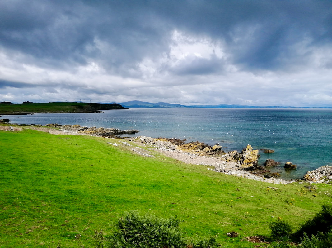
 The beach itself is a delight, full of light and space and a joy to walk on, very firm underfoot. It is easy to see that forward progress could be hampered if the tide were up, as there are numerous rock features scattered on the sand. However, a wee bit of clambering and onward we went. With the tide so low, we walked effortlessly from Killantringan Bay to Knock Bay and on along the lower shore until we reached Salt Pans Bay, where the water was right up to the face of the low cliff and we had to take to the high ground for a short distance. There were numerous occasions when we thought we were stymied, only to find a way through, or up and over the low rocky headlands. On one or two occasions it was more climbing than walking. Nonetheless, it was a fun-filled adventure and, although tiring, it had a great buzz about it.
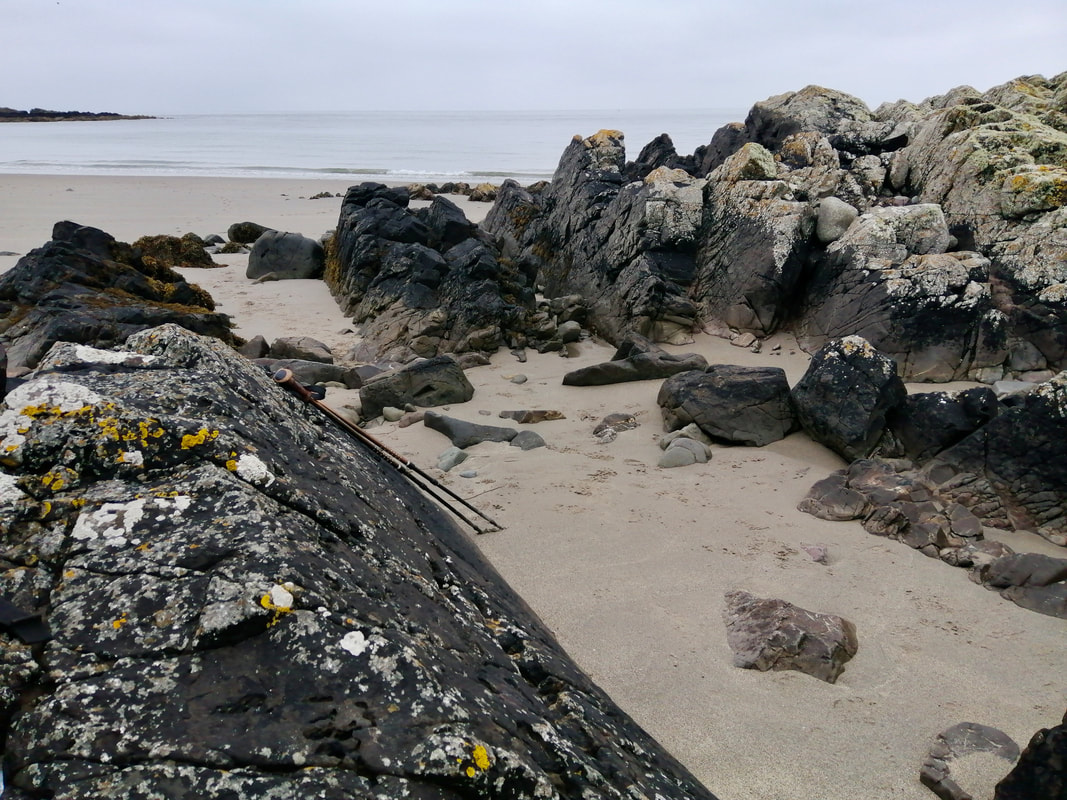
Obstacles
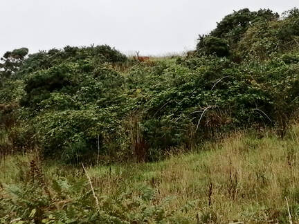
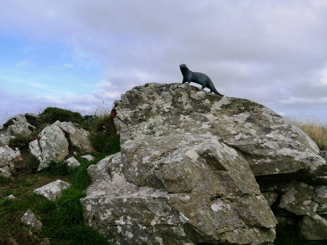
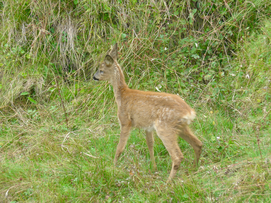 Young Hind
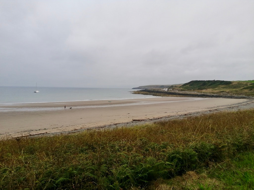
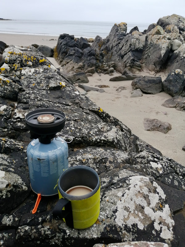
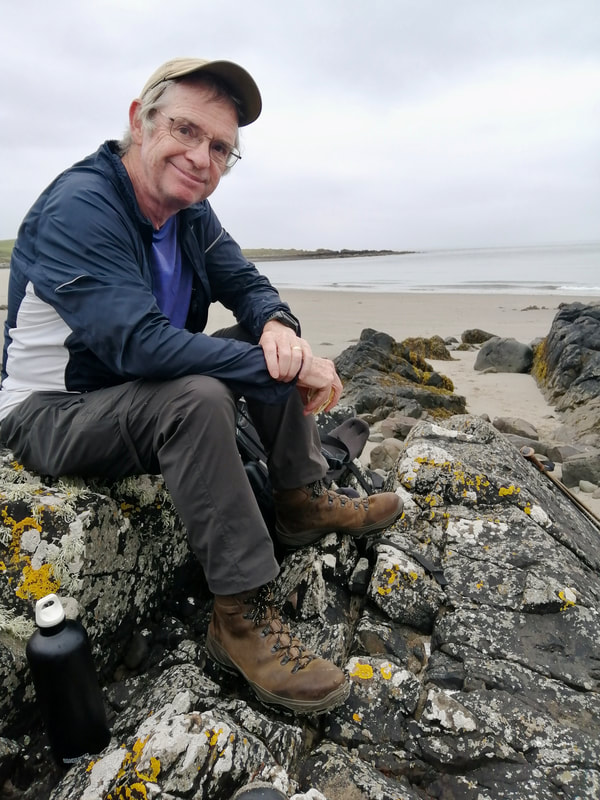
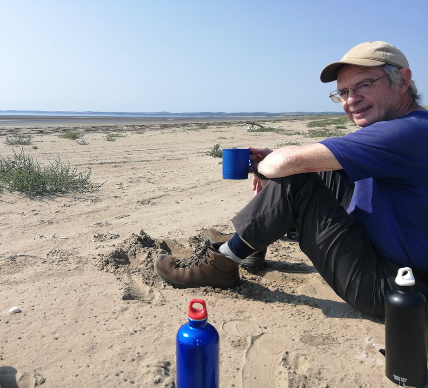
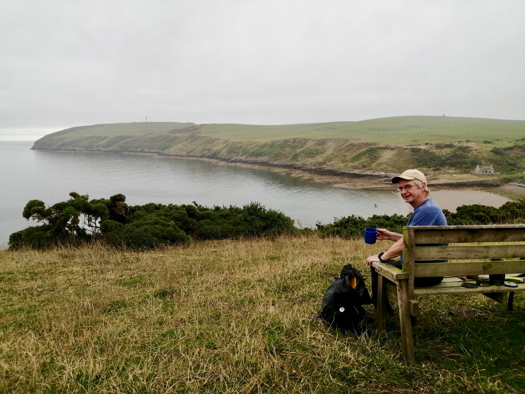
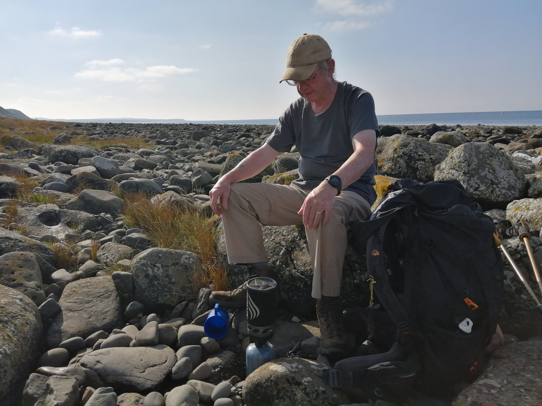
 By the time we reached Broadsea Bay we were starting to feel effects of the rock jumping. At low tide, Broadsea is almost indistinguishable from Larbrax Bay as it is one long sandy beach. Halfway across Broadsea, we stopped for a brew up and a seat on the rocks. Peace! Quiet! Contentment.
After tiffin, we moved on to cross the rocks on to the short stretch between Cranberry Point and Salt Pans Bay. Movement caught our eye in the shrubbery on the hillside and we were dismayed to see a small deer hind that had lost its sight to some eye disease. At first it blundered about in the undergrowth but eventually it found a way out and over the clifftop.
After tiffin, we moved on to cross the rocks on to the short stretch between Cranberry Point and Salt Pans Bay. Movement caught our eye in the shrubbery on the hillside and we were dismayed to see a small deer hind that had lost its sight to some eye disease. At first it blundered about in the undergrowth but eventually it found a way out and over the clifftop.
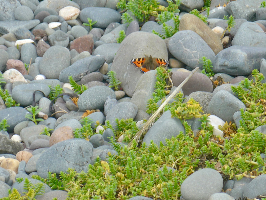
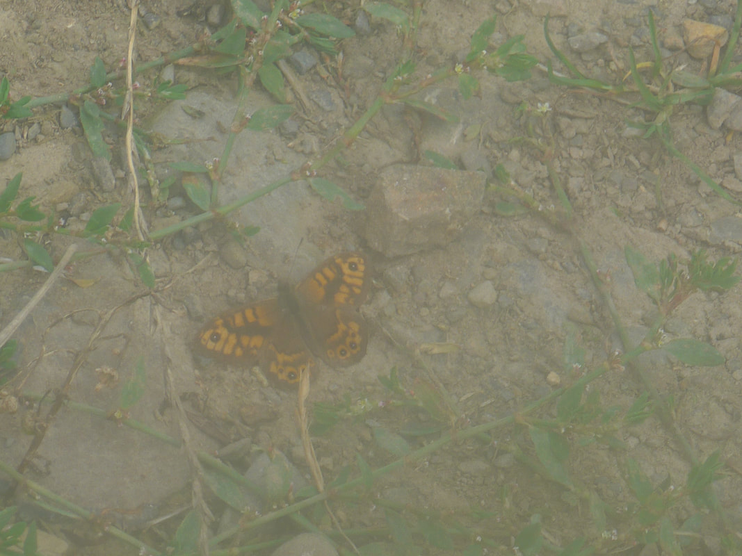
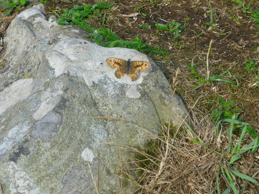
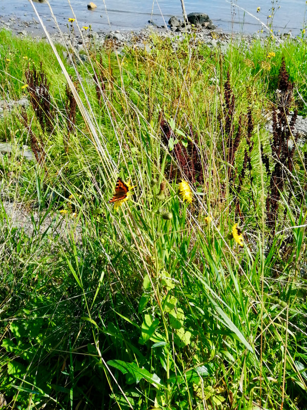
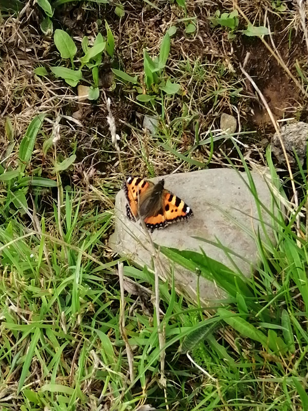
Broadsea & Larbrax Bays, Small Tortoiseshell Butterfly
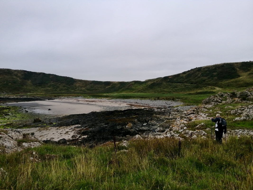
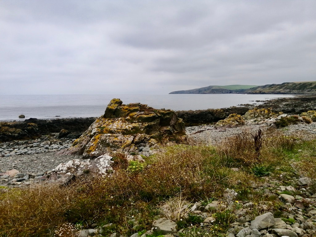
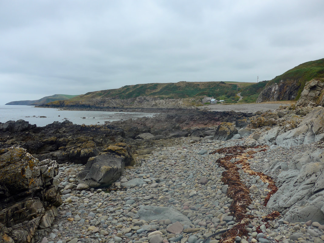
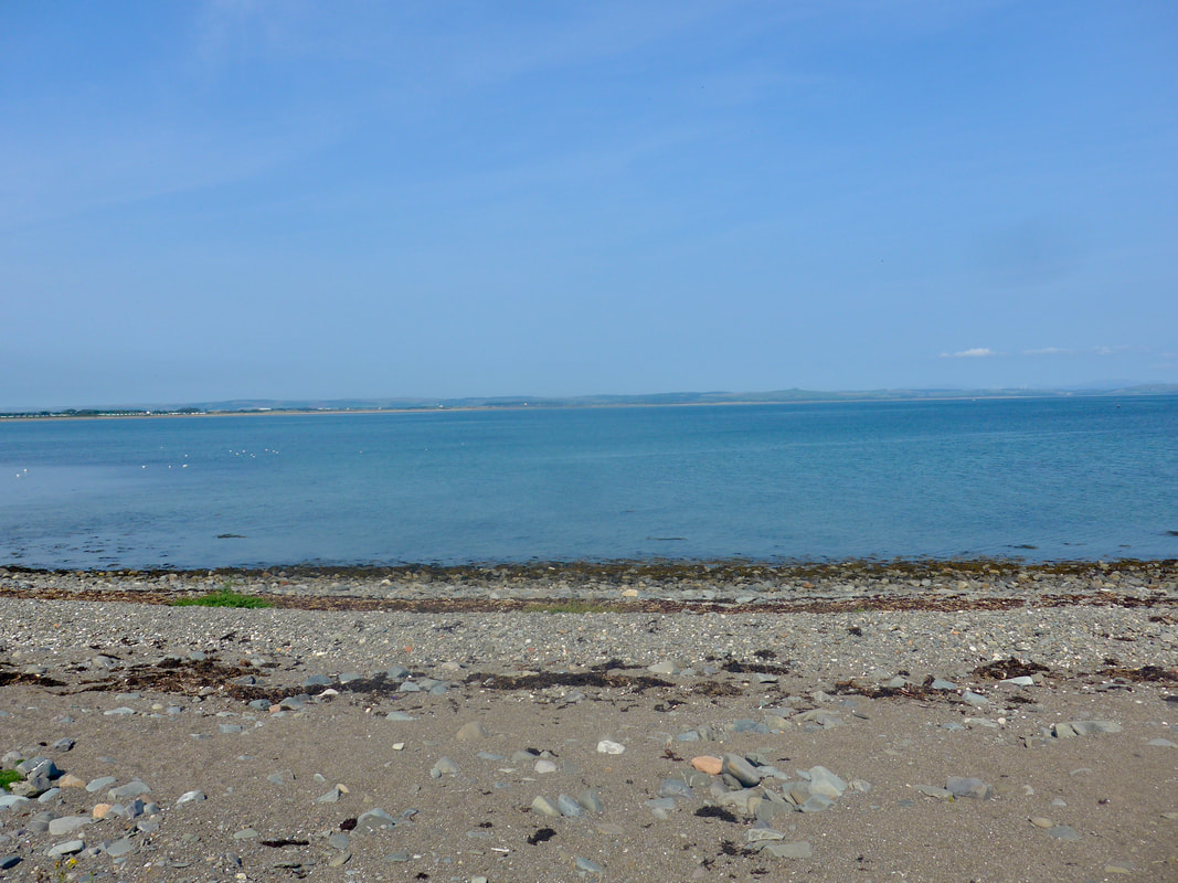
 Salt Pans Bay, Outlines
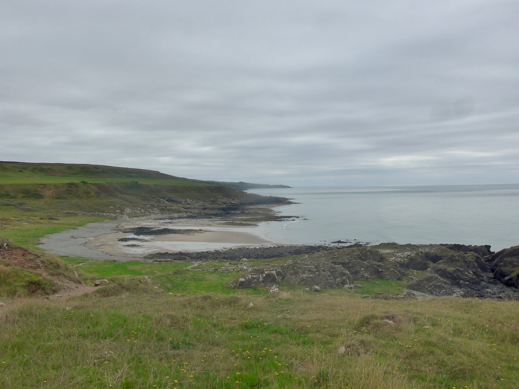
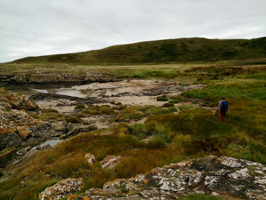
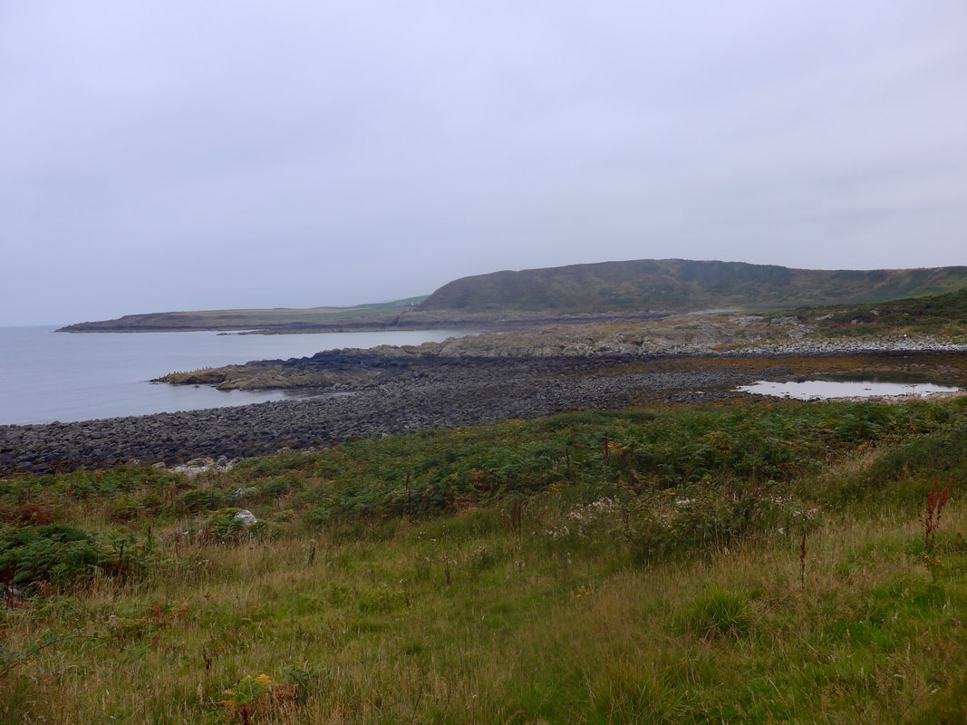
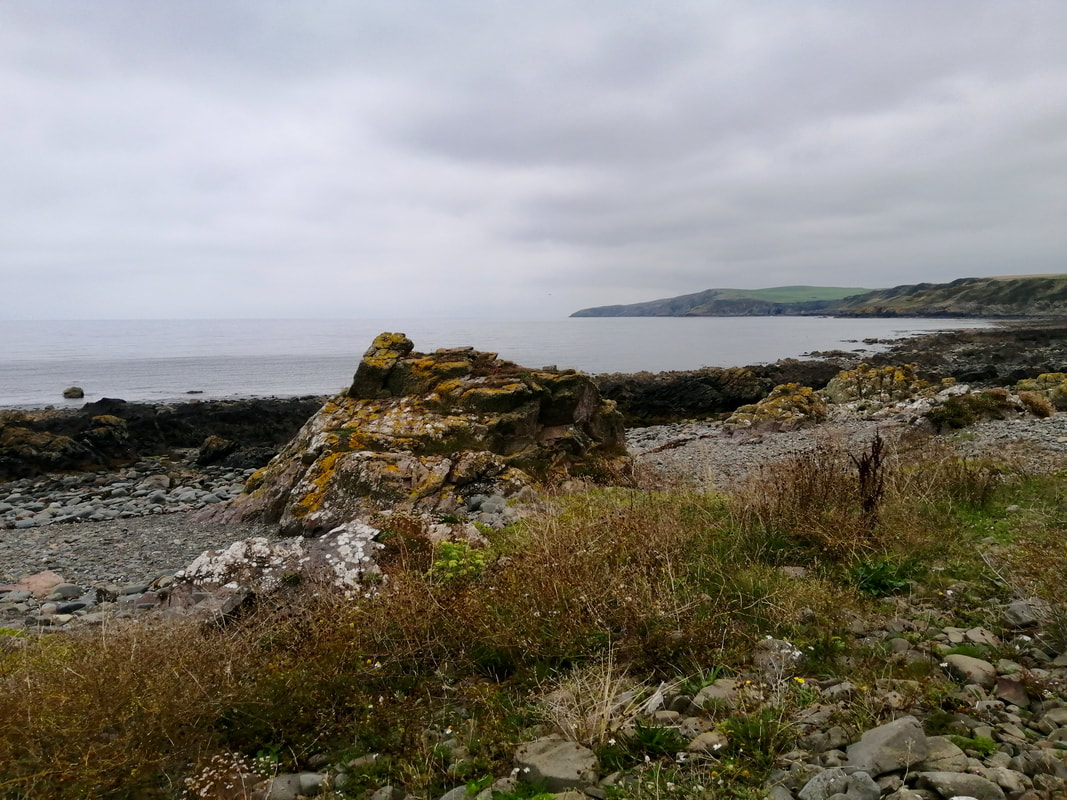
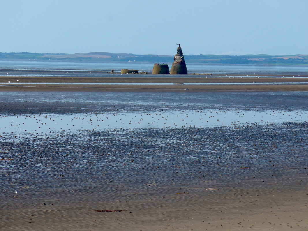
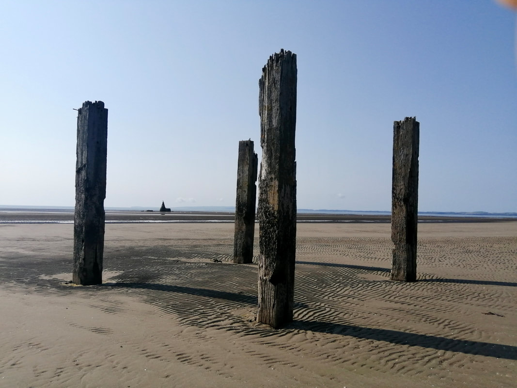
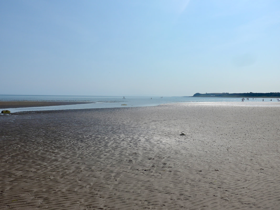
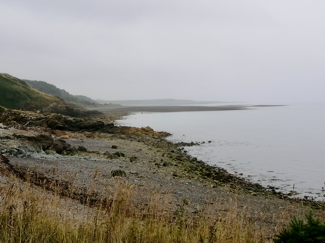
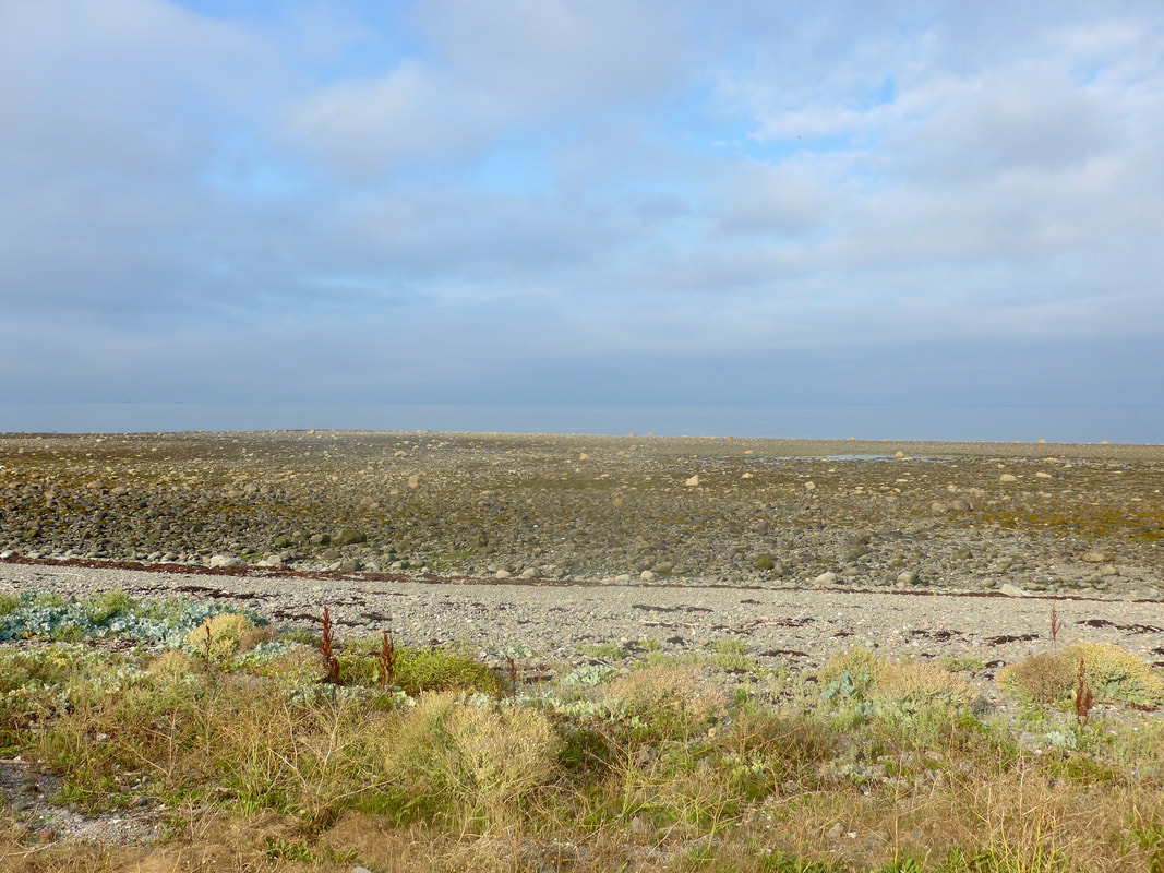
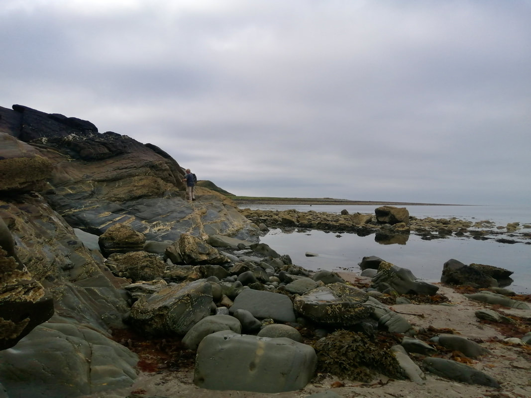
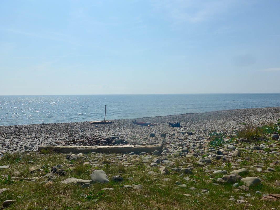
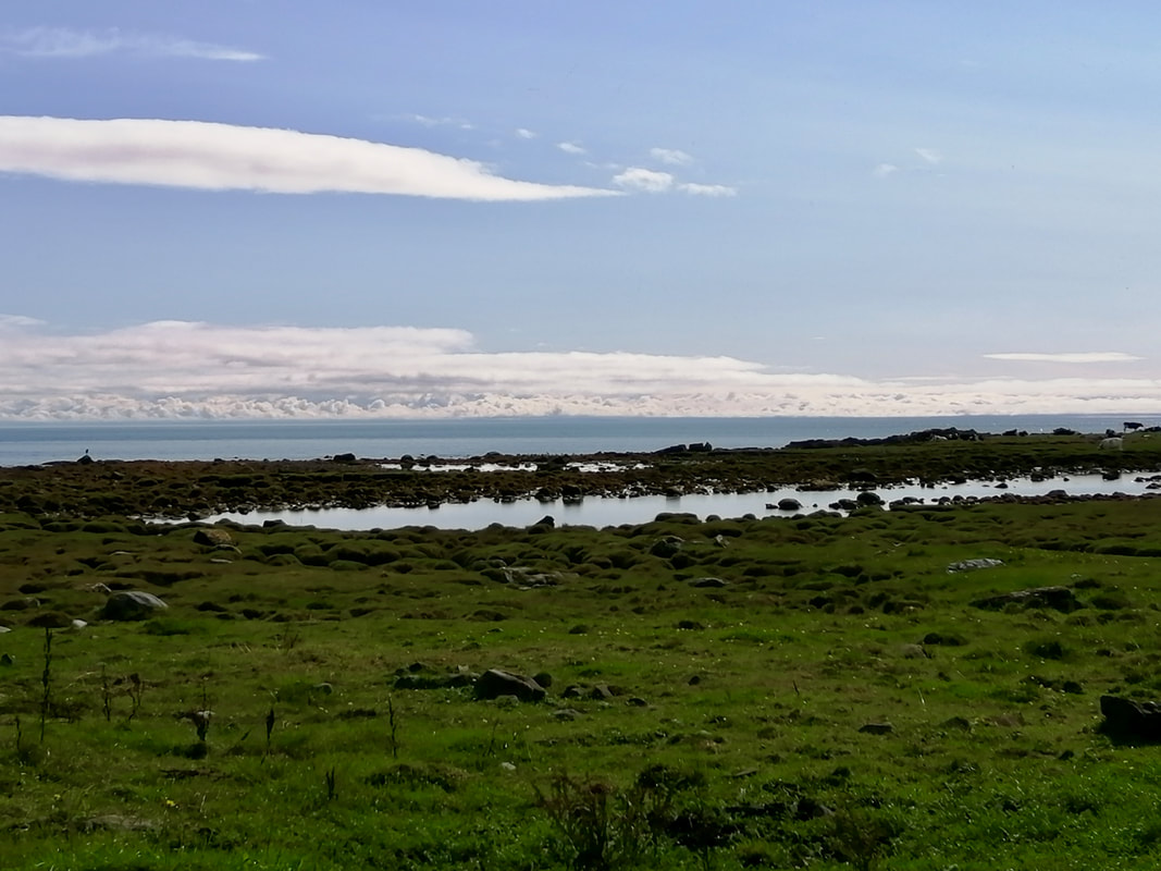
 Moving on to Salt Pans Bay we found the water was right up against the rocks and we needed to take to the high ground again. As the name of the bay suggests, this was once a place of high activity with salt pans and processing buildings on the beach. All that remains now are the outlines of the two buildings, a salt pan and another, possibly related, outbuilding, all barely visible in the overgrown grass.
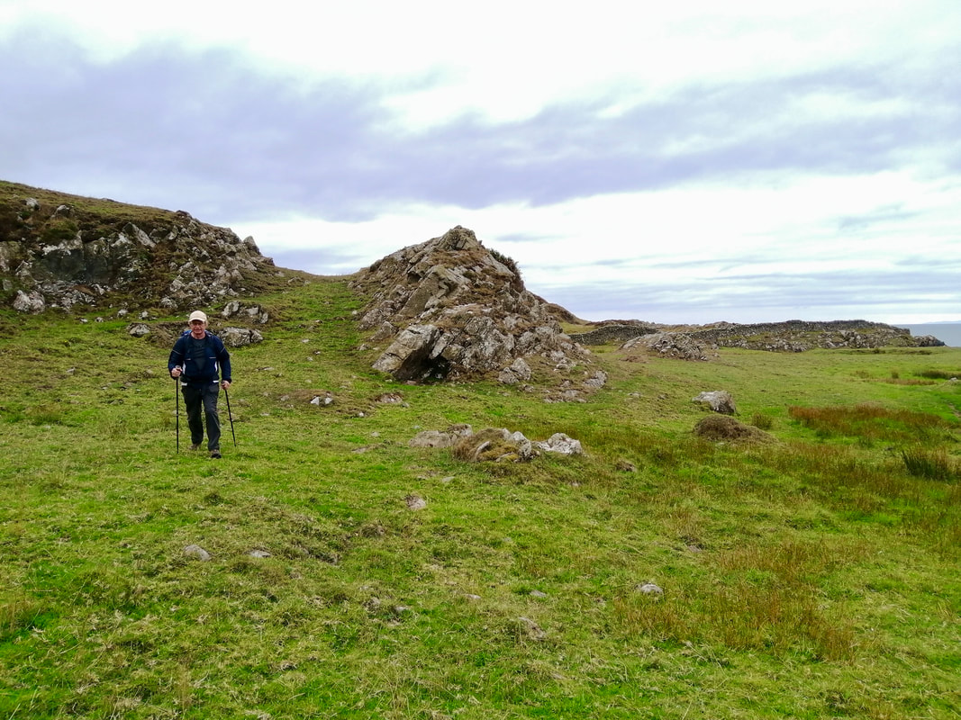
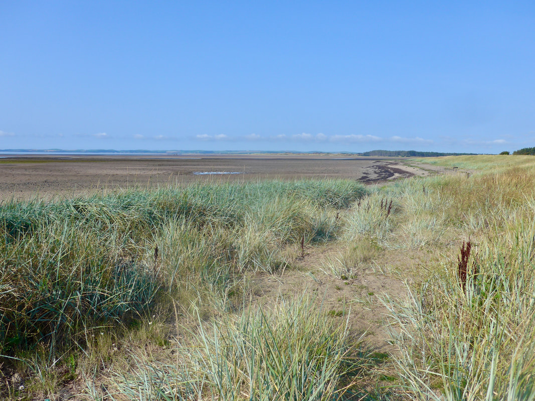
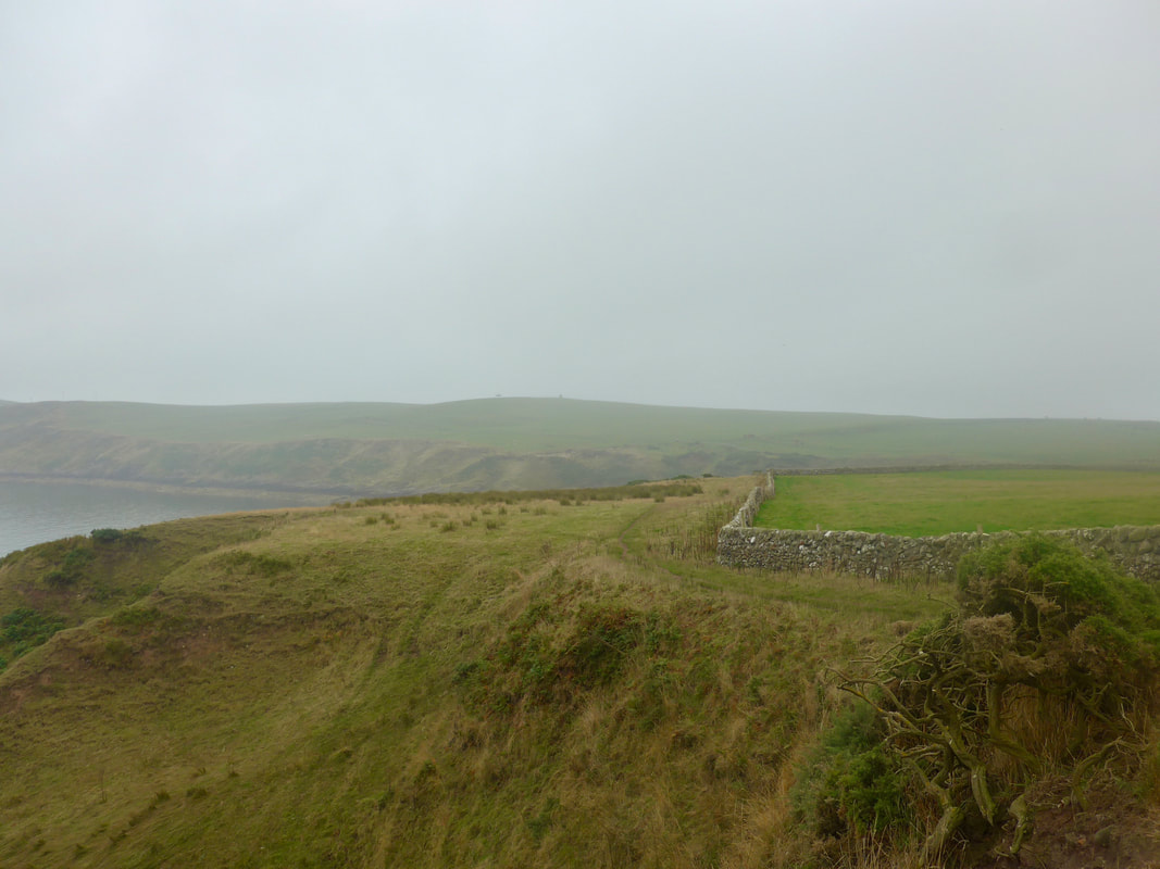
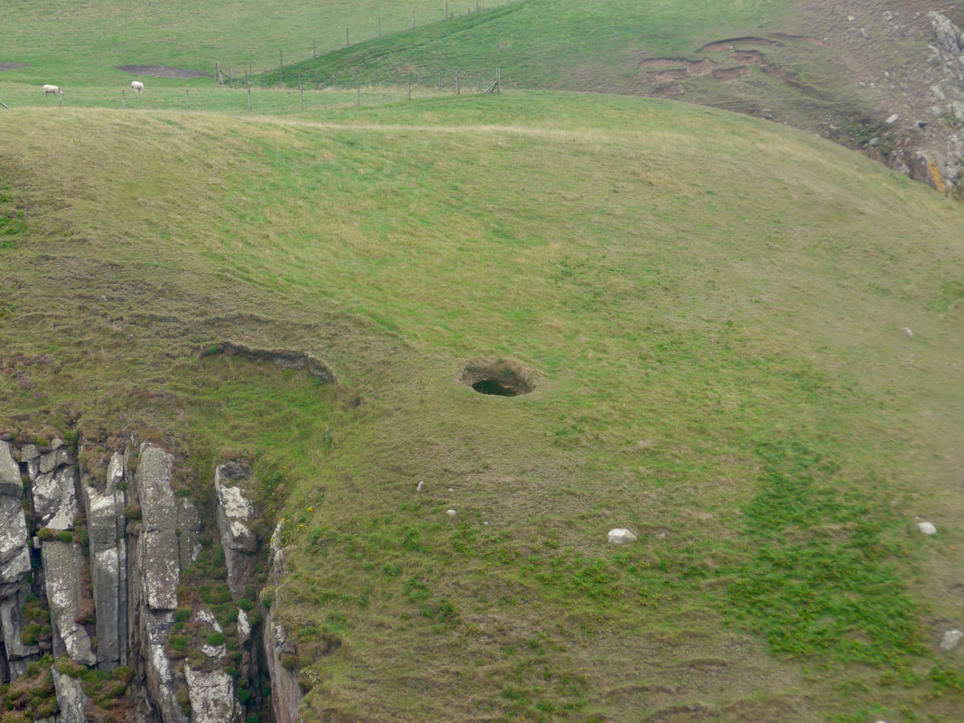
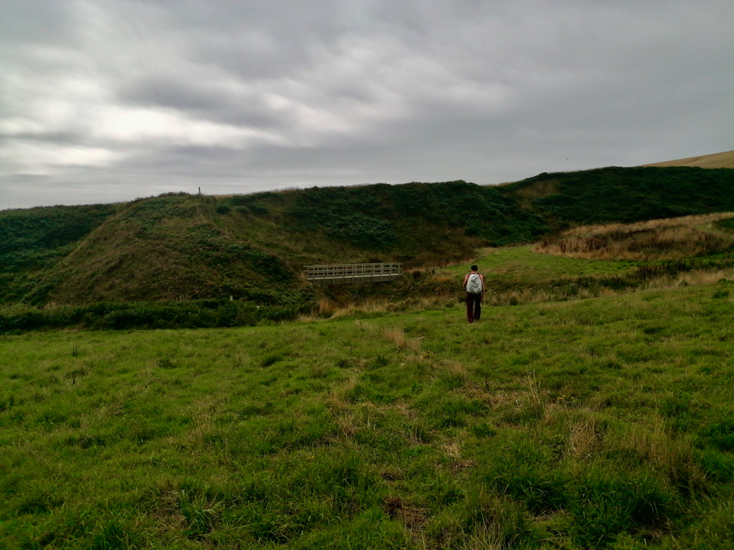
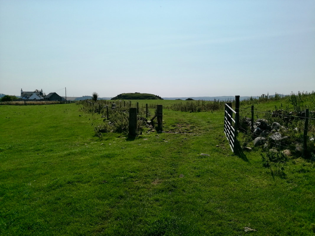
On the north side of the beach, just below the path that takes you up the hill, there are also the scant remains of a prehistoric promontory fort known as Fort Point. At the back of the fort was a path of sorts going up the hillside and once on the low cliff we were soon following the fence line at Drumawhern, on Galdenoch Moor.
On the north side of the beach, just below the path that takes you up the hill, there are also the scant remains of a prehistoric promontory fort known as Fort Point. At the back of the fort was a path of sorts going up the hillside and once on the low cliff we were soon following the fence line at Drumawhern, on Galdenoch Moor.
 Drumawhern, Galdenoch Moor
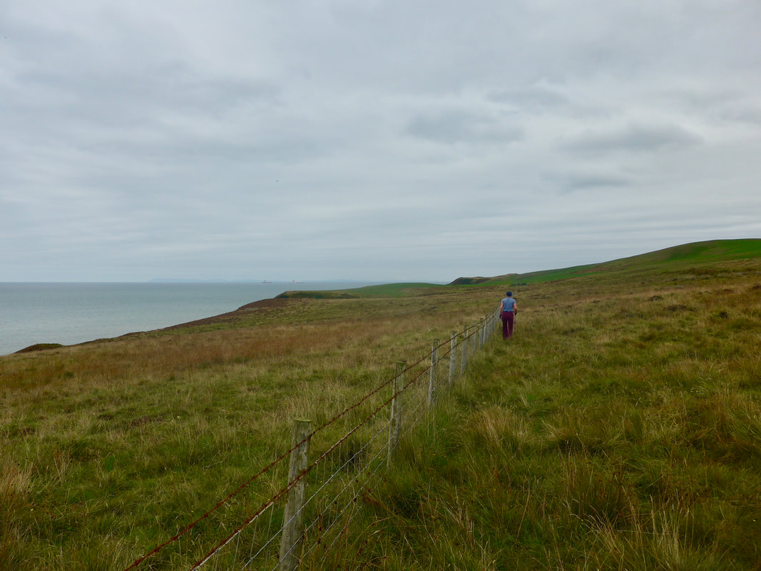
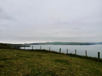
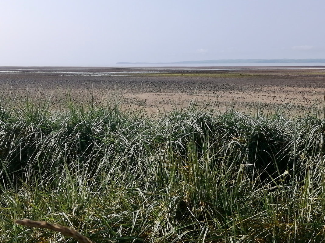
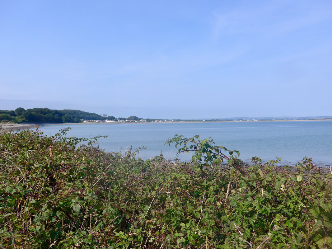
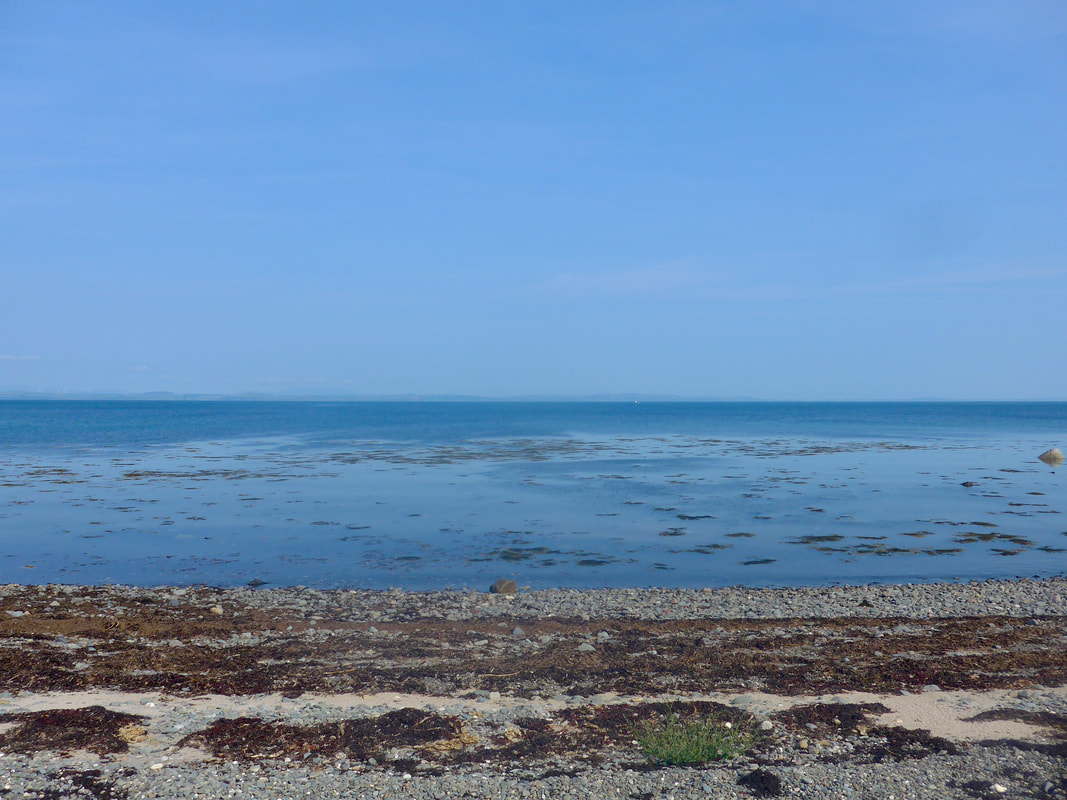
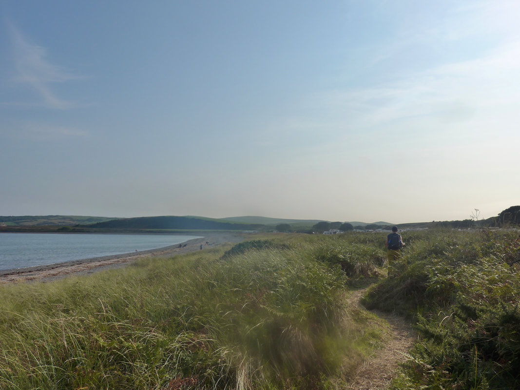
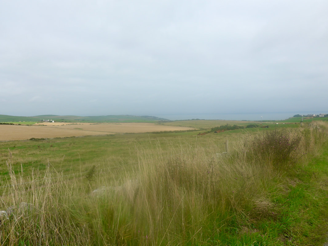
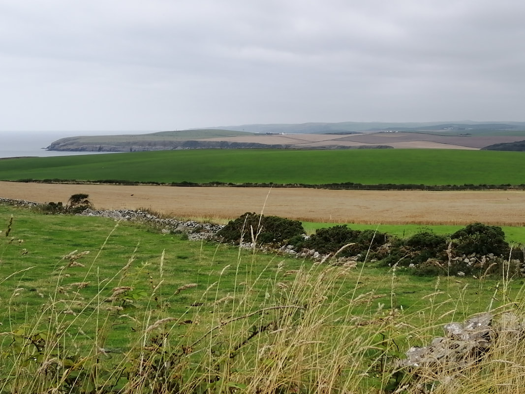
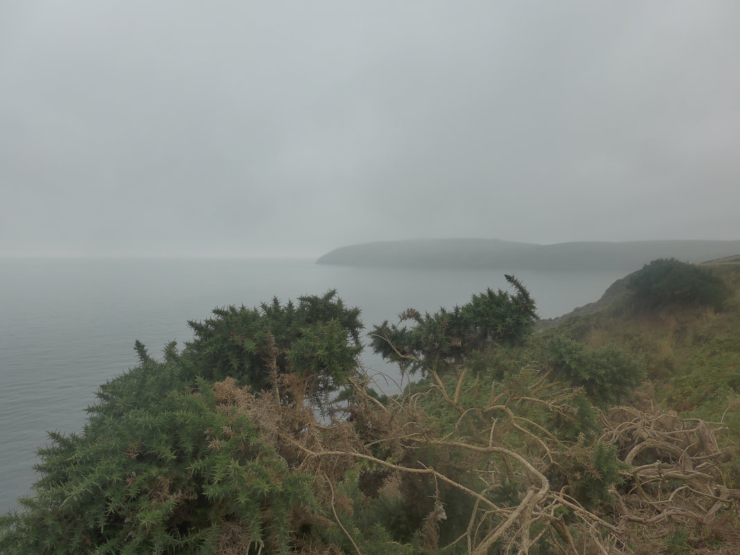
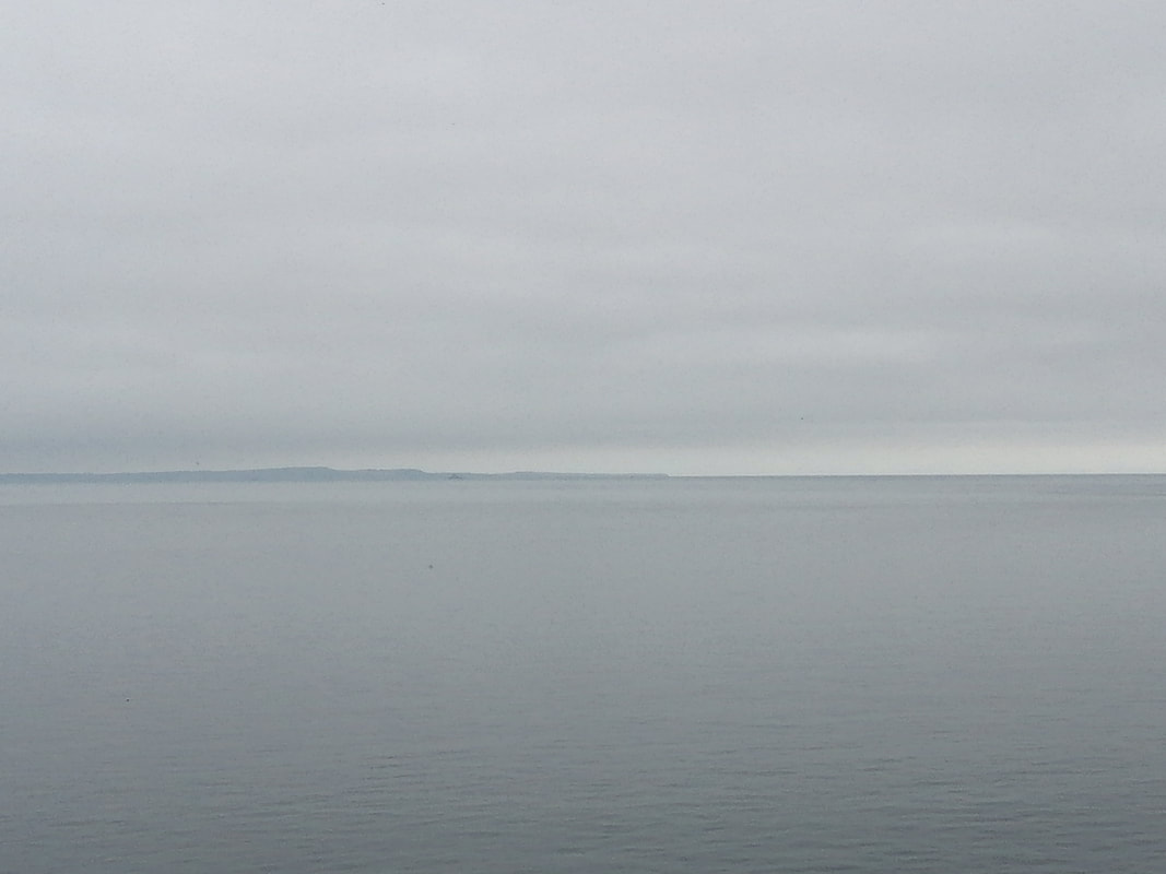
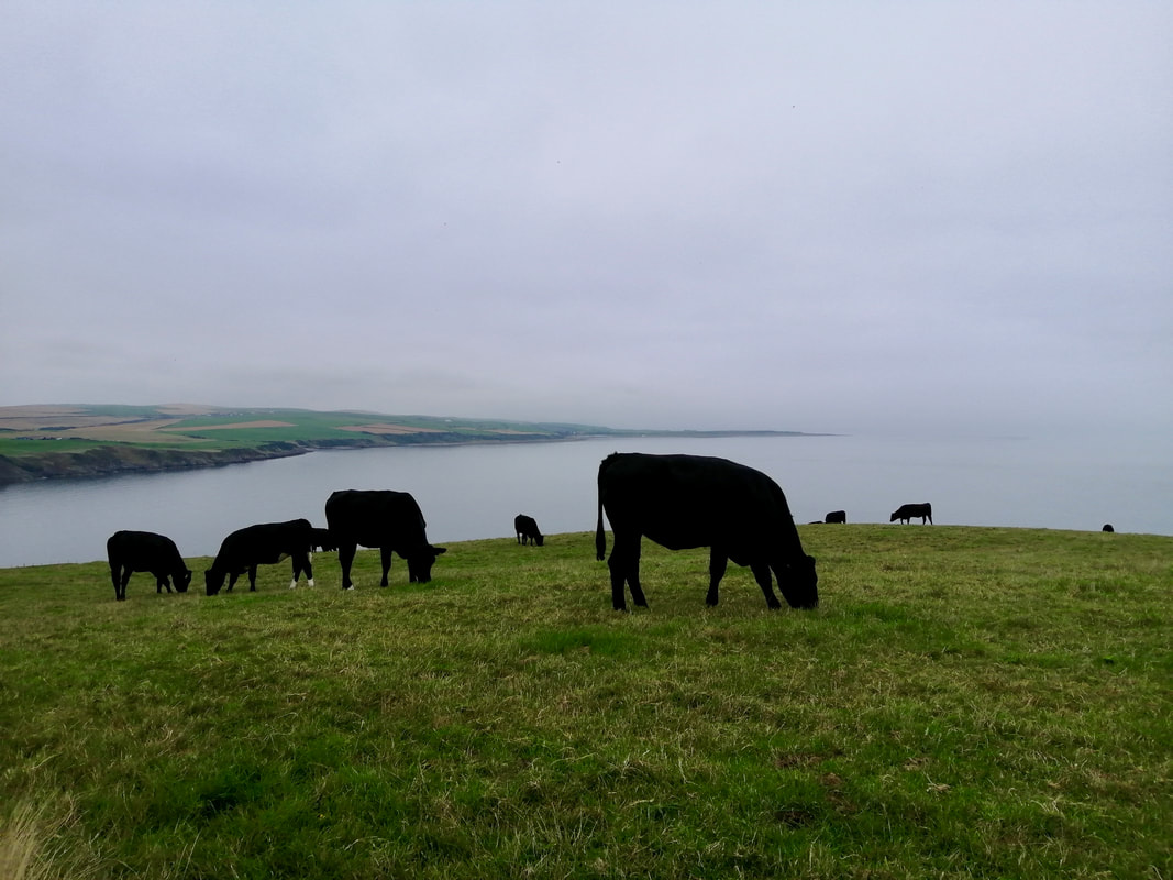
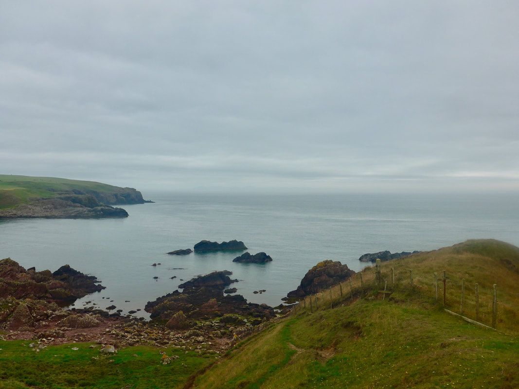
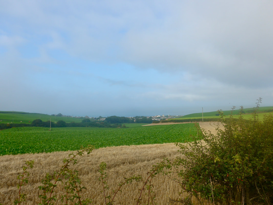
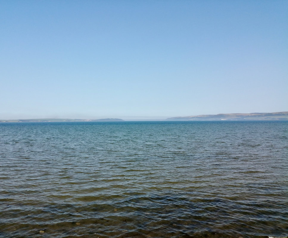
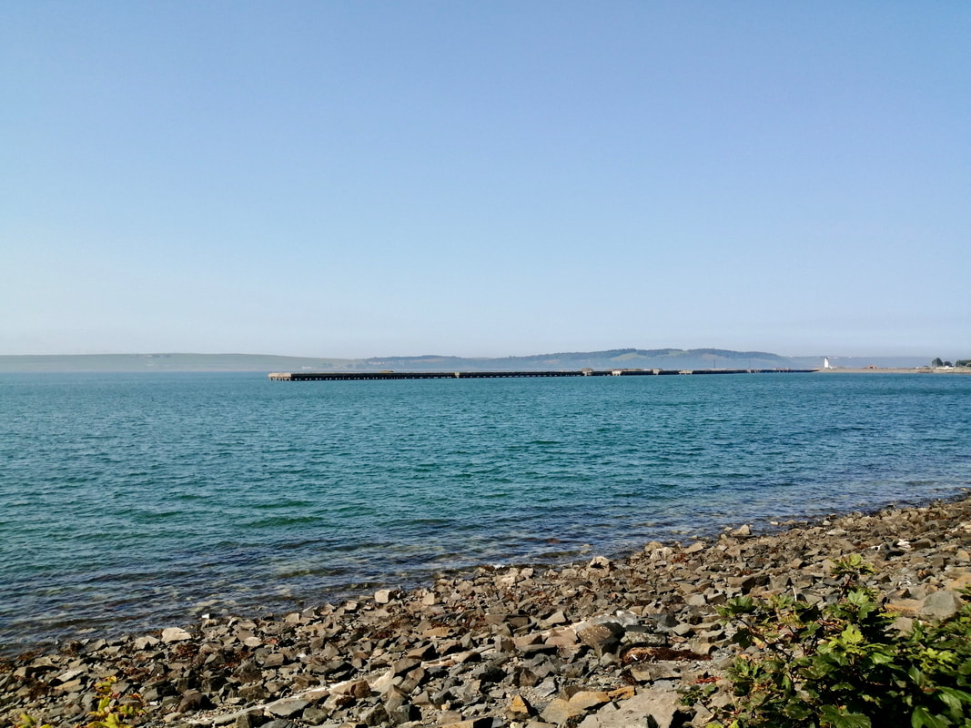
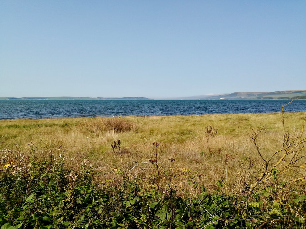
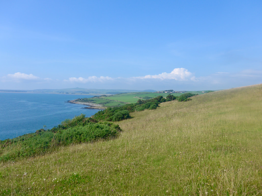
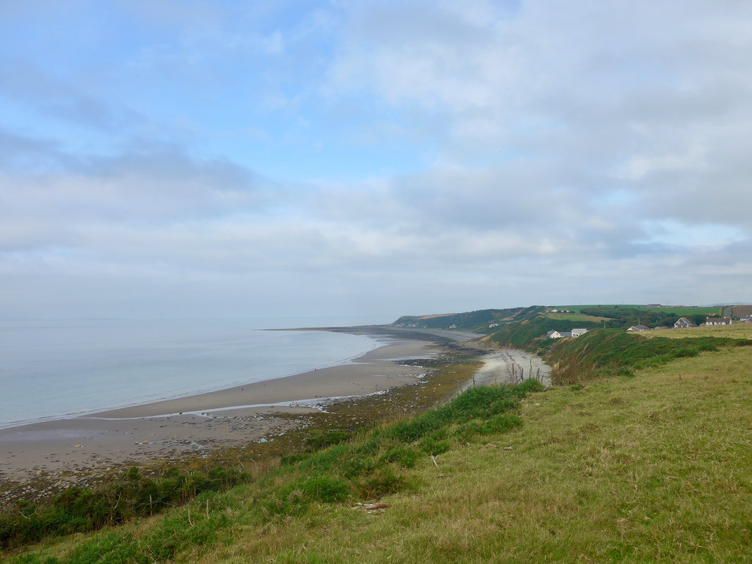
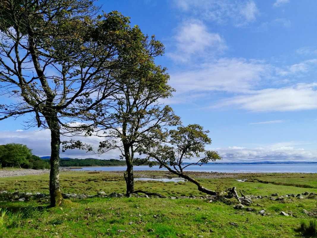
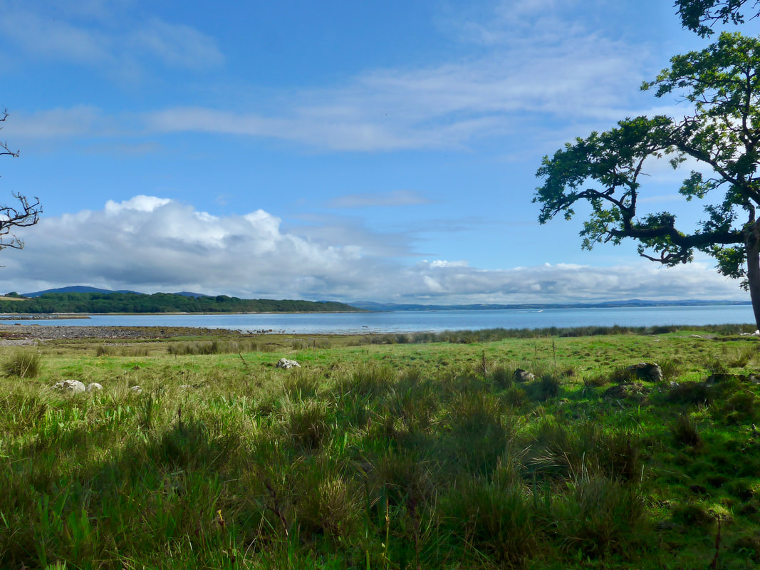
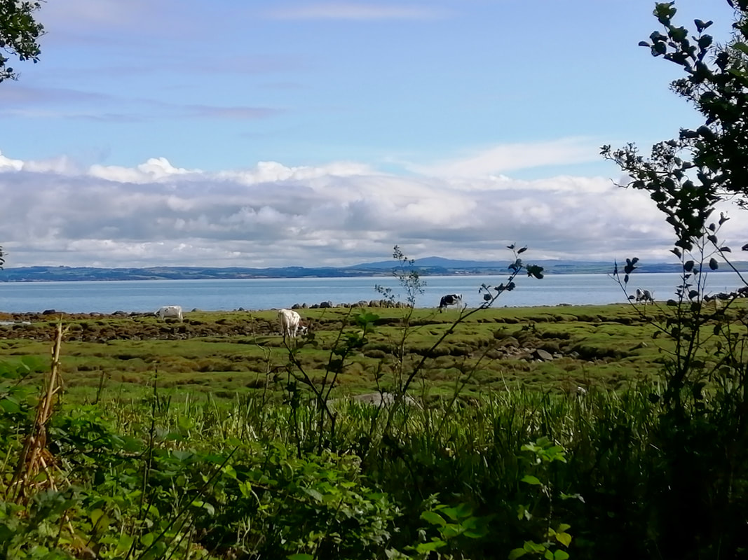
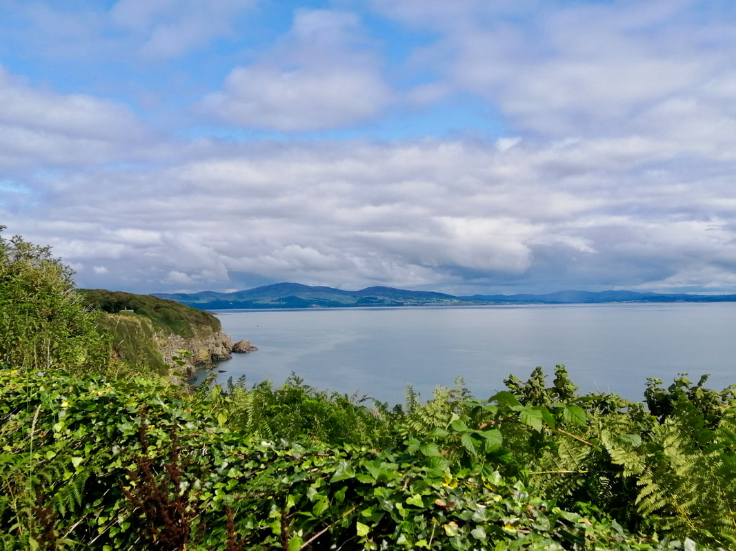
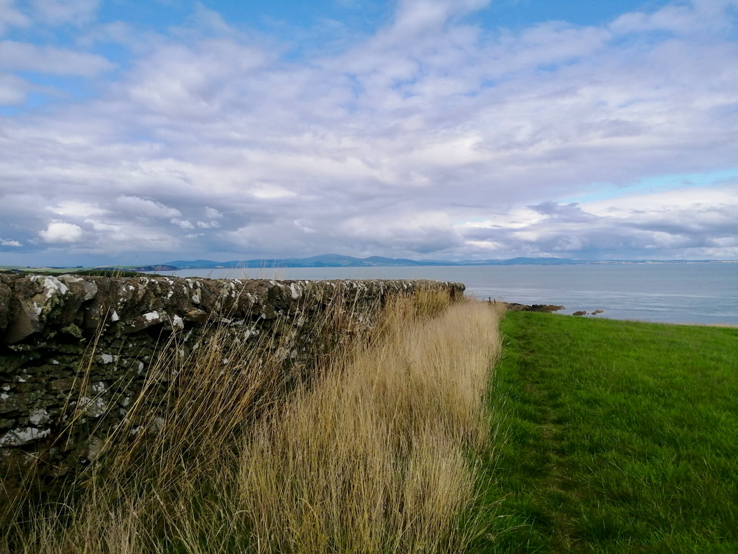
 Walking on Galdenoch we had clear views up to Ailsa Craig, Arran and Kintyre. Looking across the North Channel we could see to the Antrim Hills. We watched as two ferries, one going in each direction, sailing across the Irish Sea from Cairn Ryan, lying on the other side of the Rhins of Galloway, to Larne, on the coast of Northern Ireland.
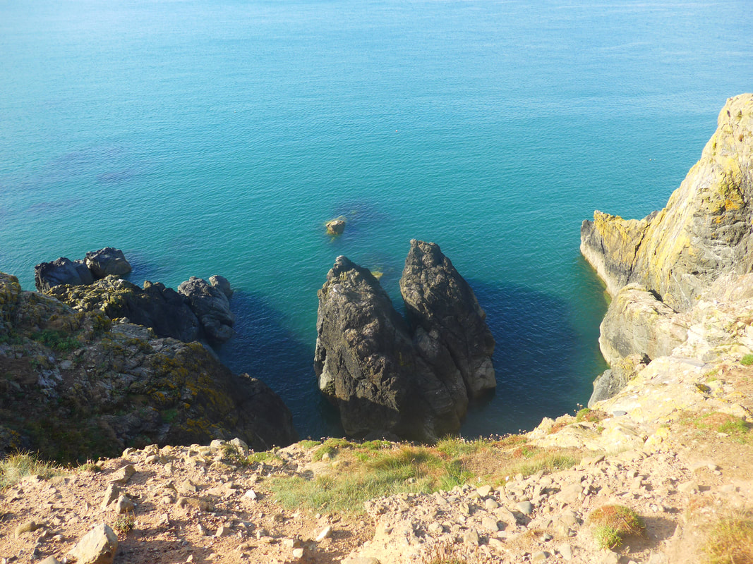
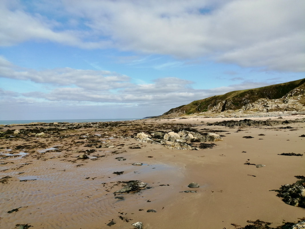
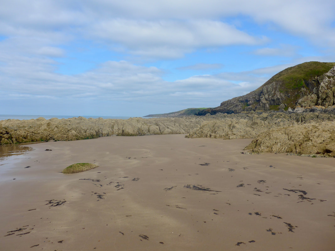
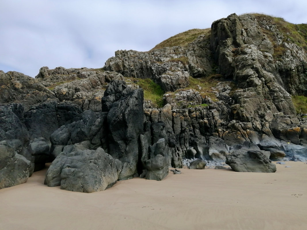
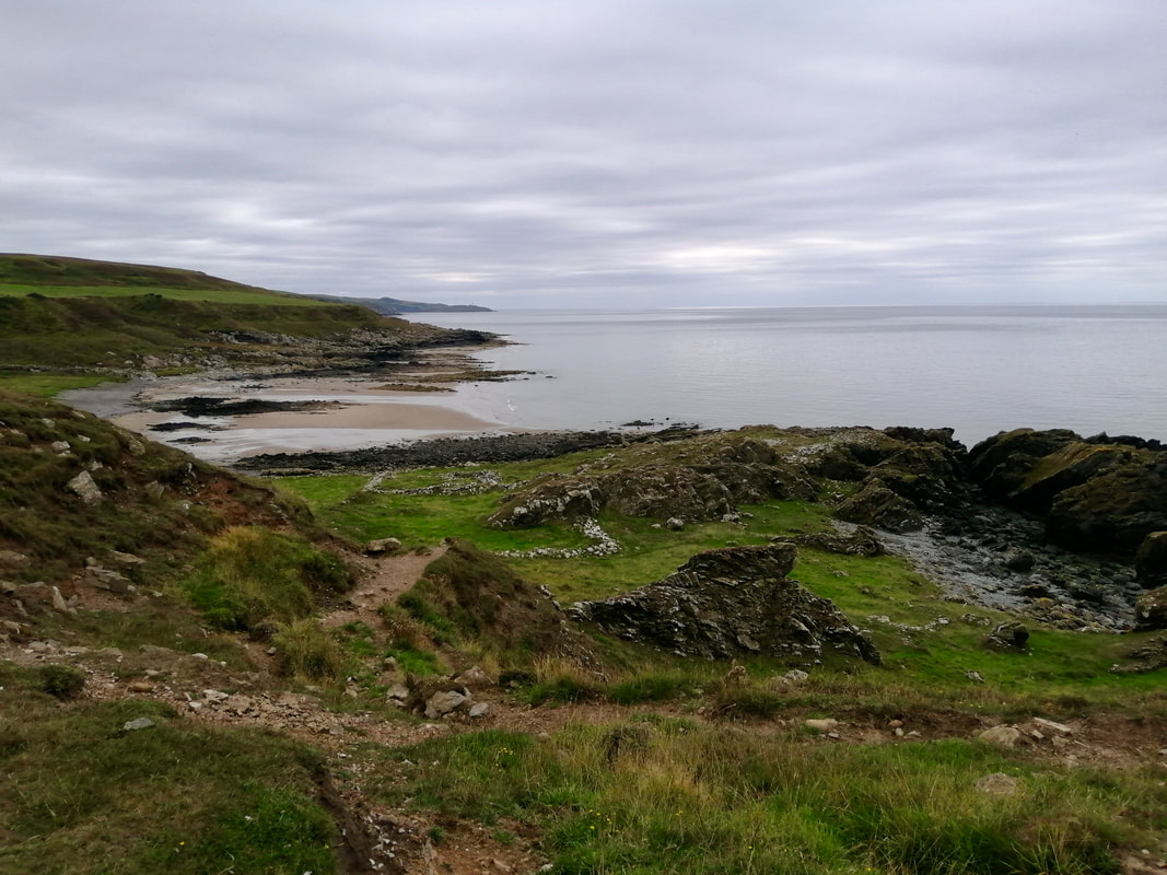
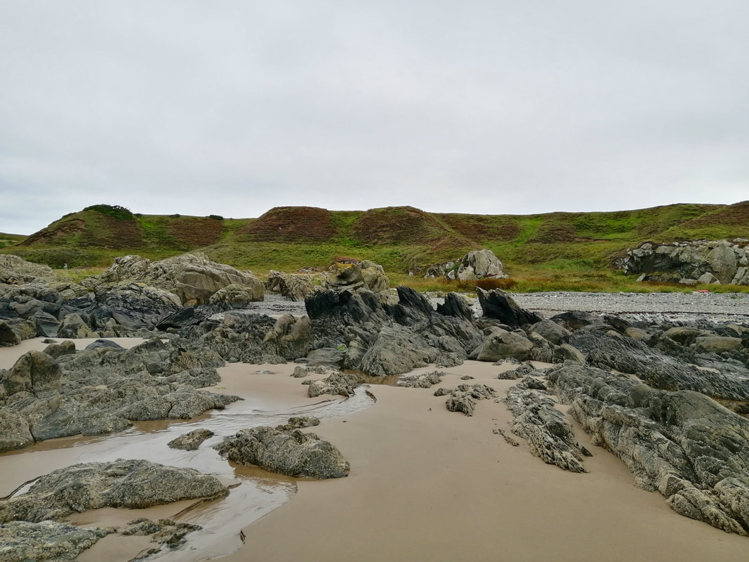
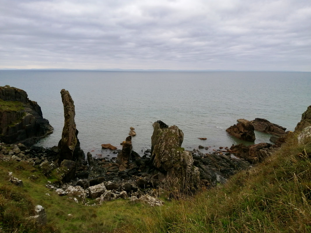
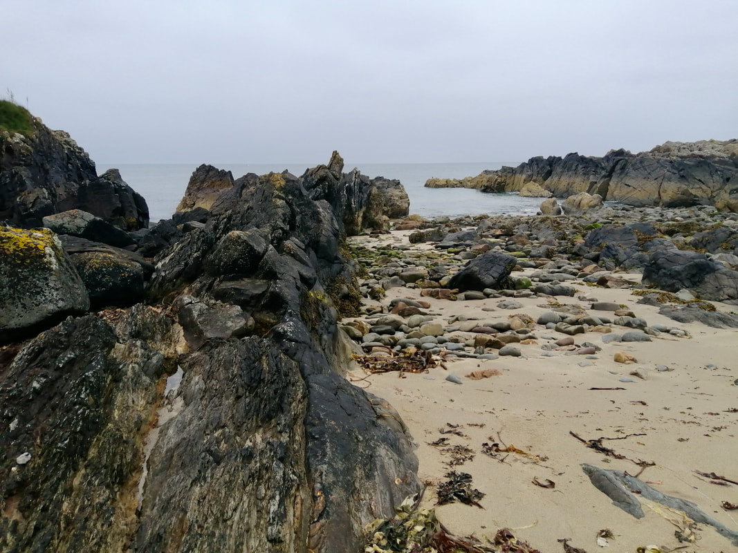
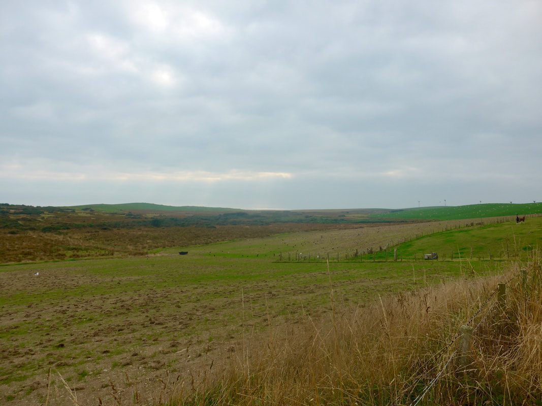
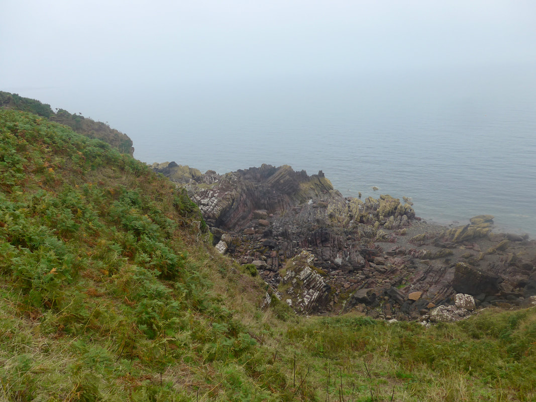
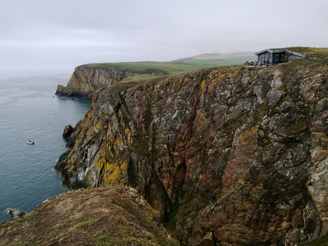
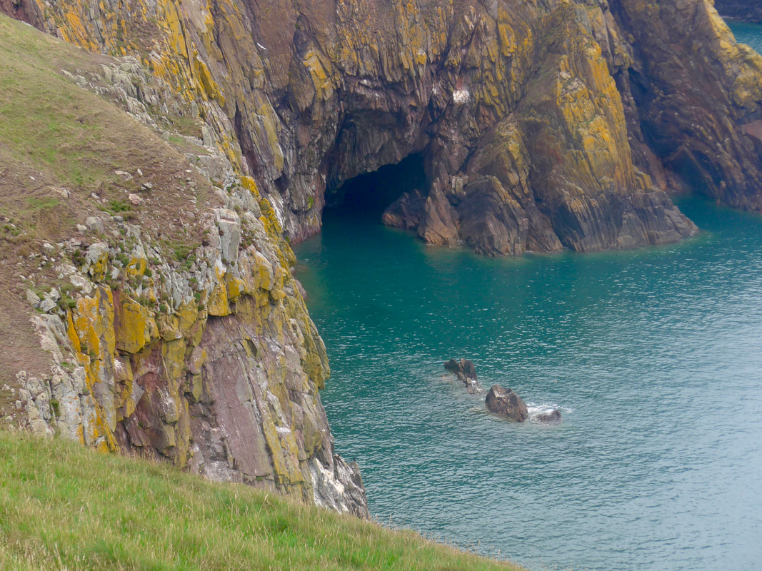
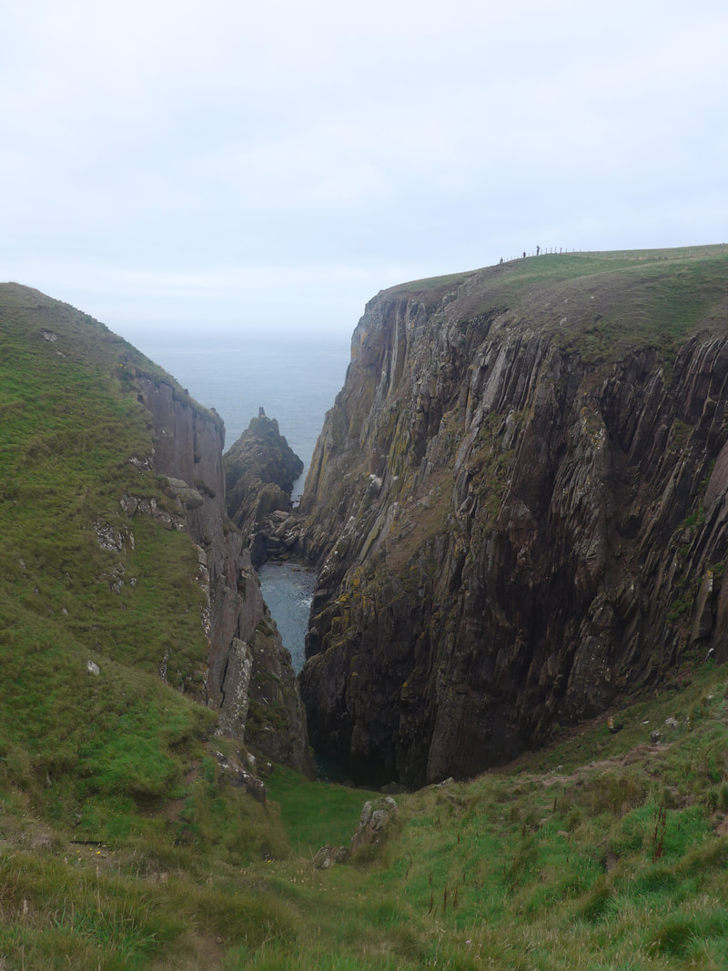
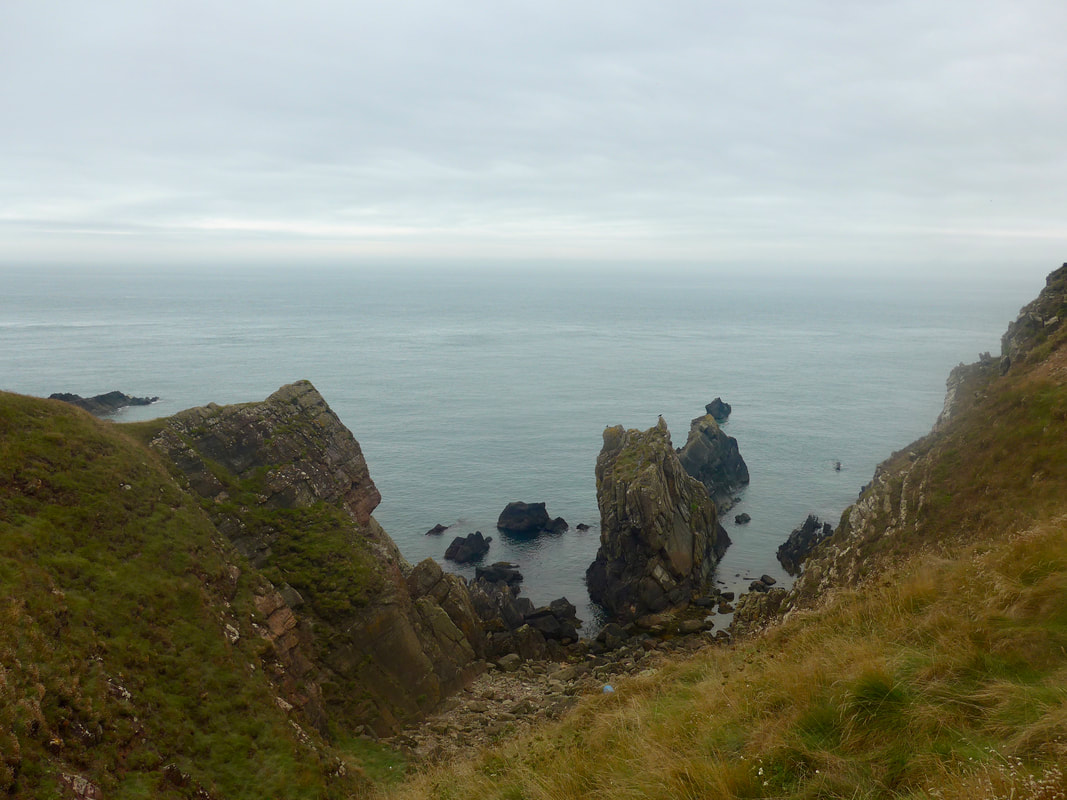
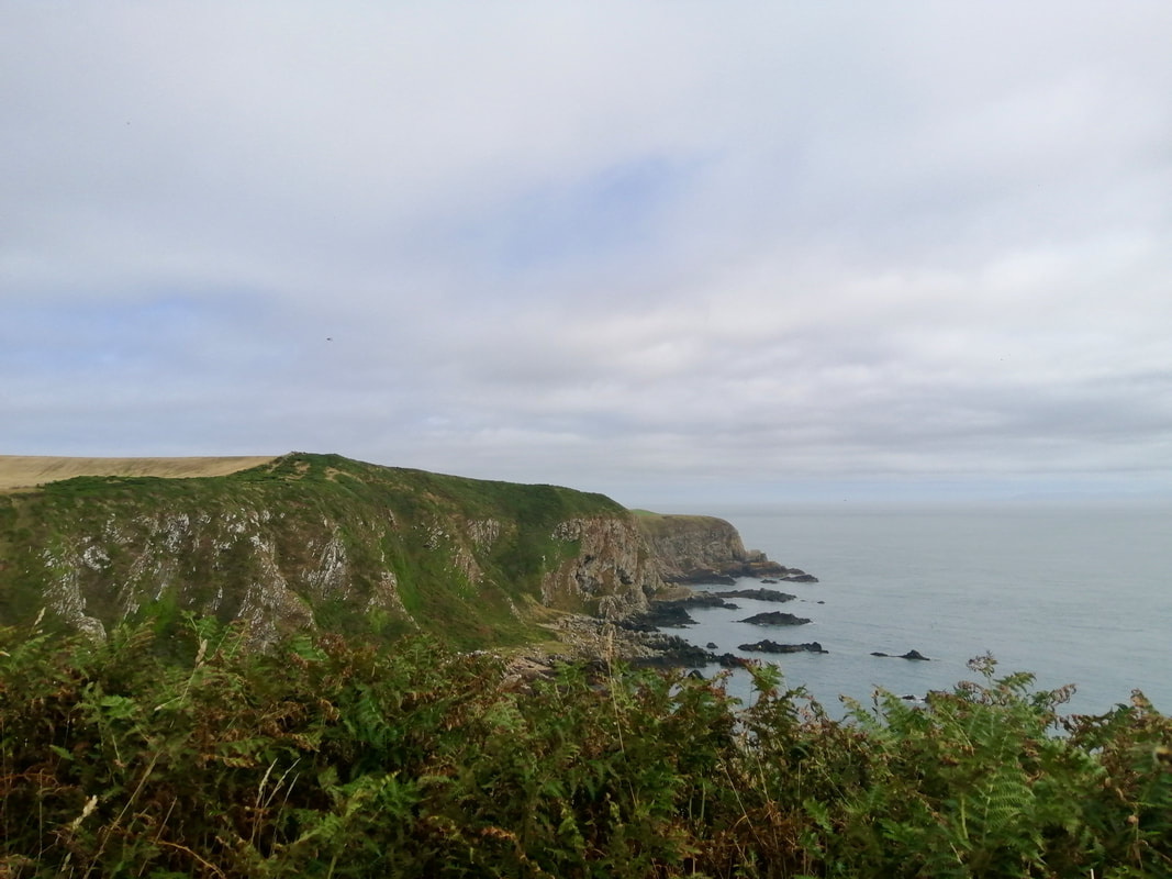
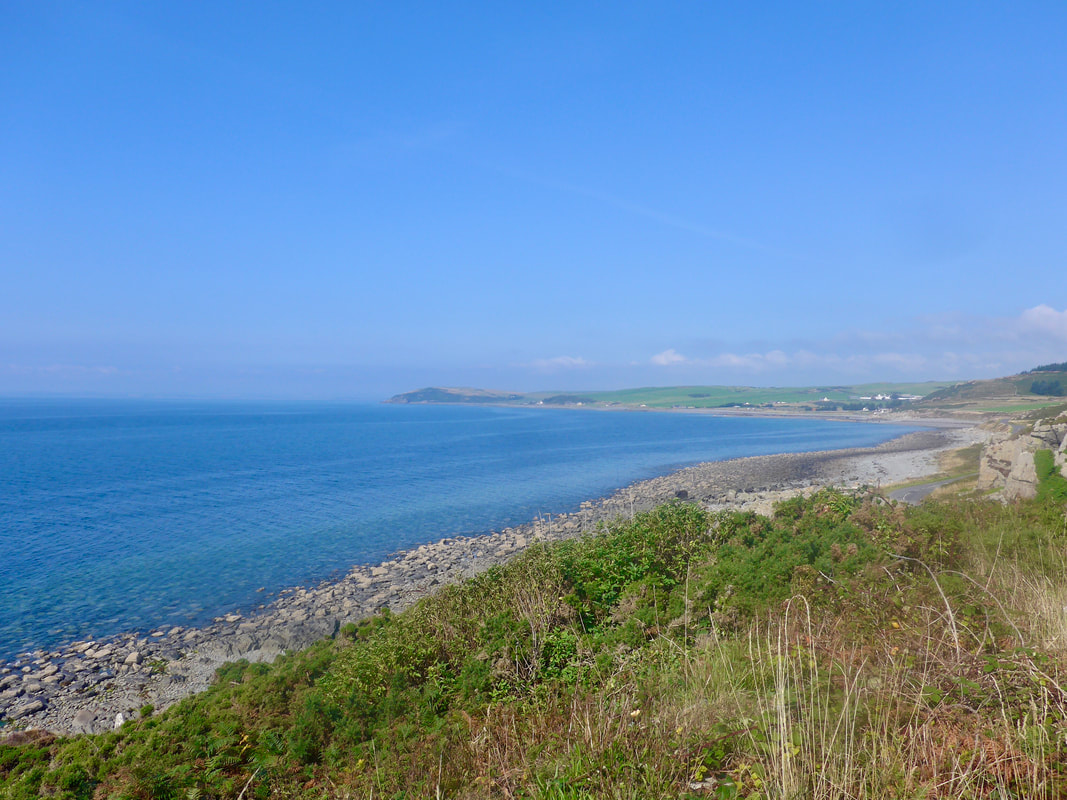
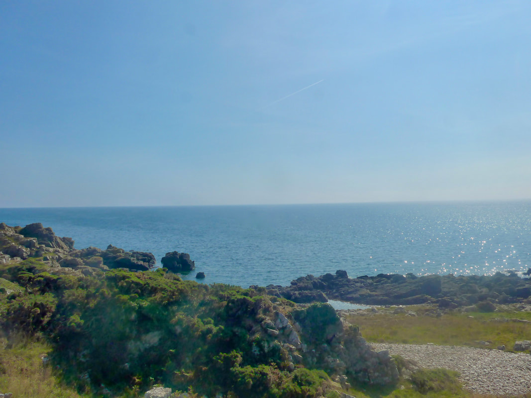
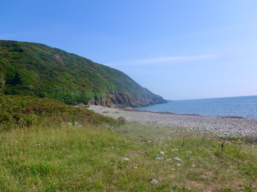
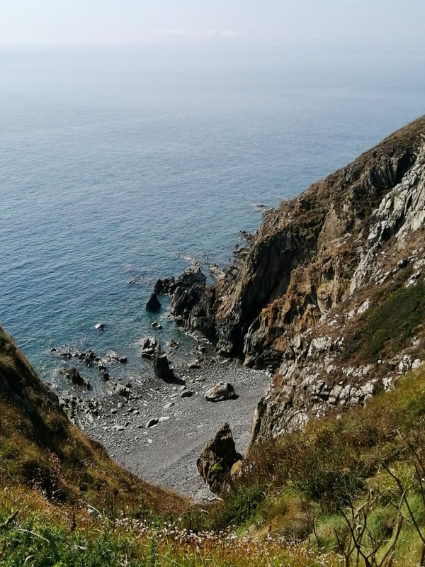
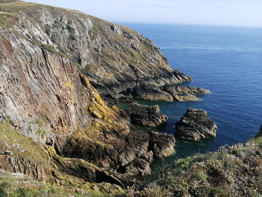
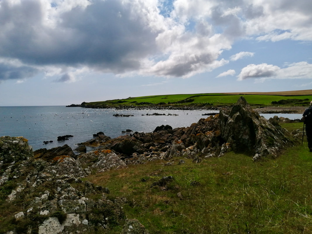
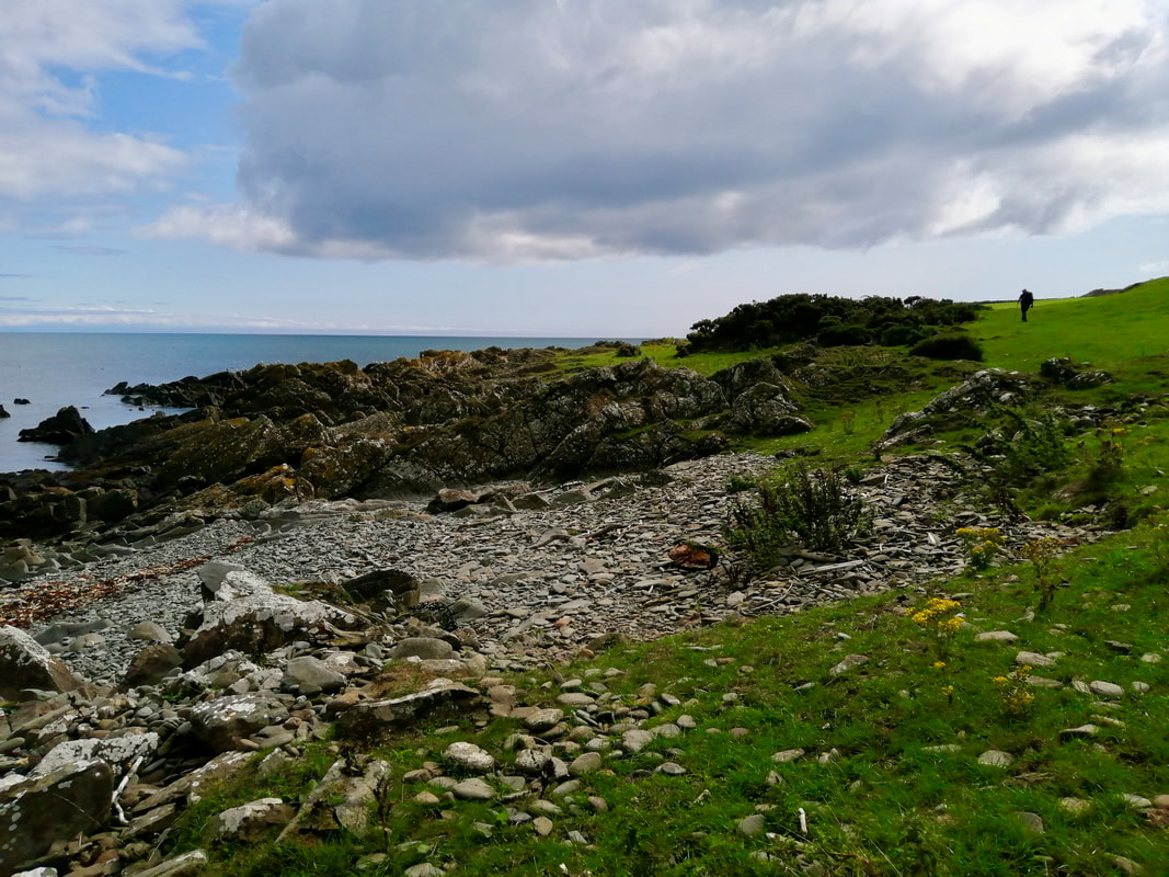
The walking on the moor was slightly tricky with a lot of stones around on the path but still a joy to walk. The route eventually drops down slightly to go along the back of Port Beg and Slouchnawen Bay, both little rocky enclaves with the water close to high tide. There are a number of nice rock features on this section and some good examples of folded rock on the small headlands, as well as fractured rock faces.
The walking on the moor was slightly tricky with a lot of stones around on the path but still a joy to walk. The route eventually drops down slightly to go along the back of Port Beg and Slouchnawen Bay, both little rocky enclaves with the water close to high tide. There are a number of nice rock features on this section and some good examples of folded rock on the small headlands, as well as fractured rock faces.
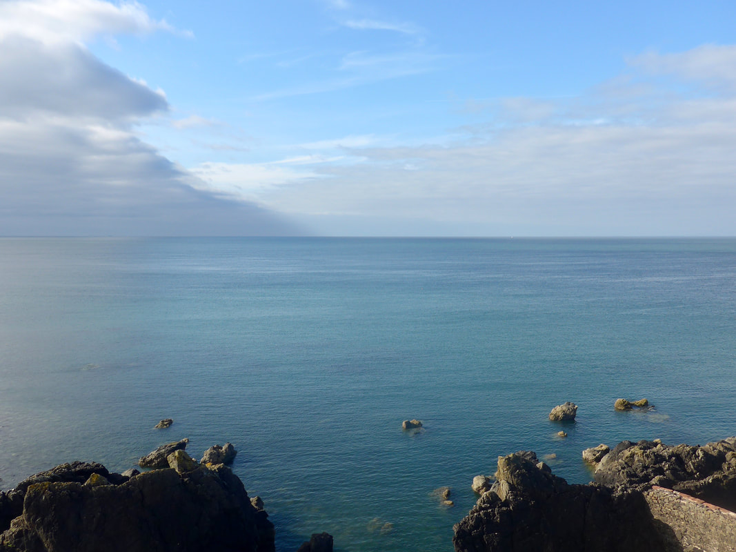
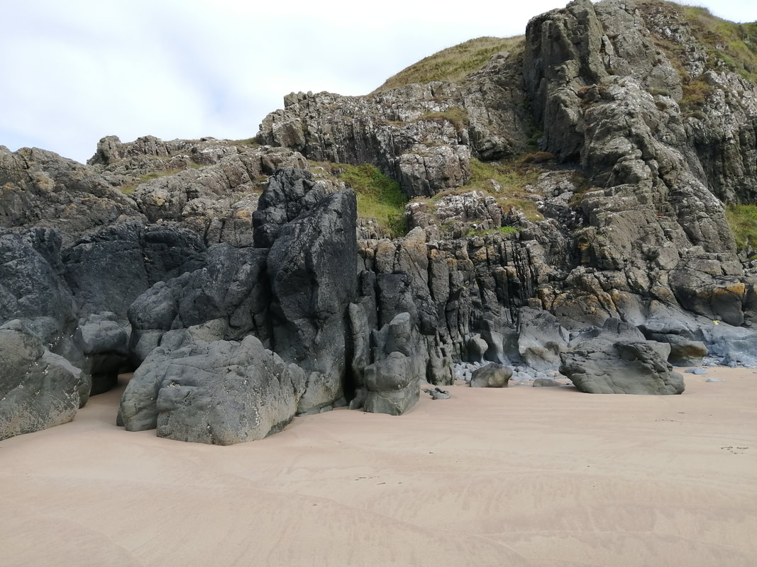
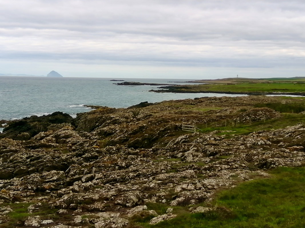
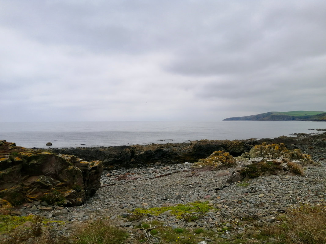
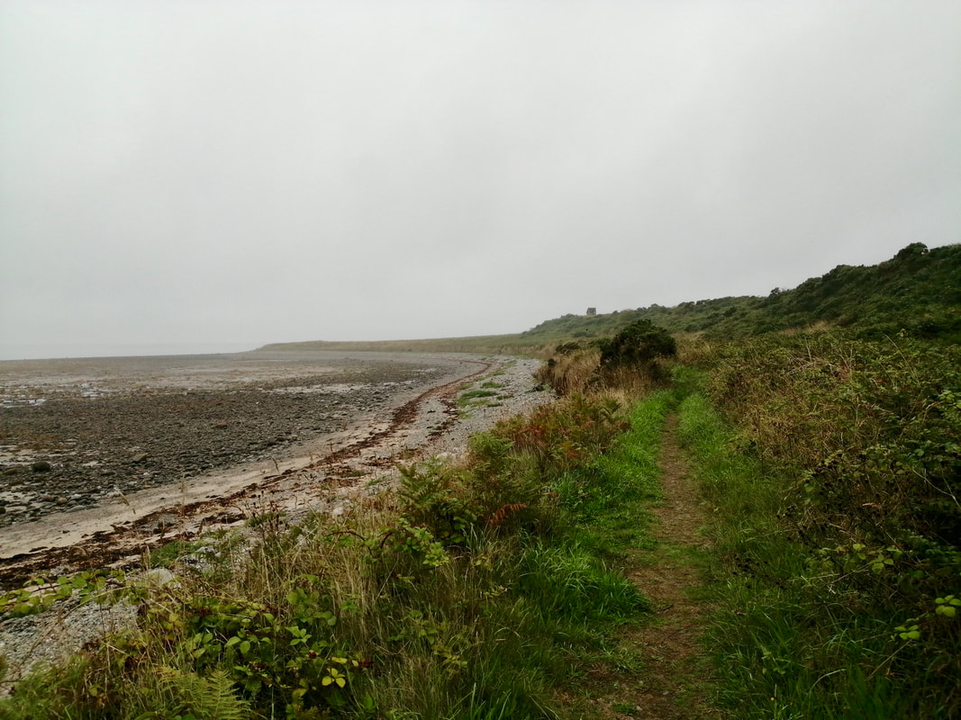
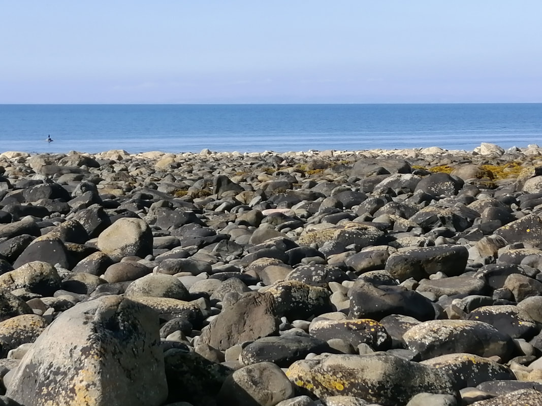
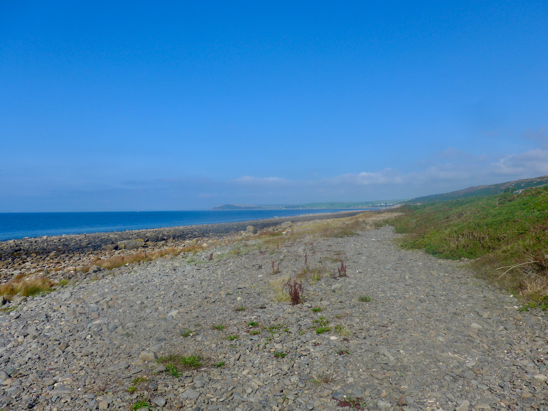
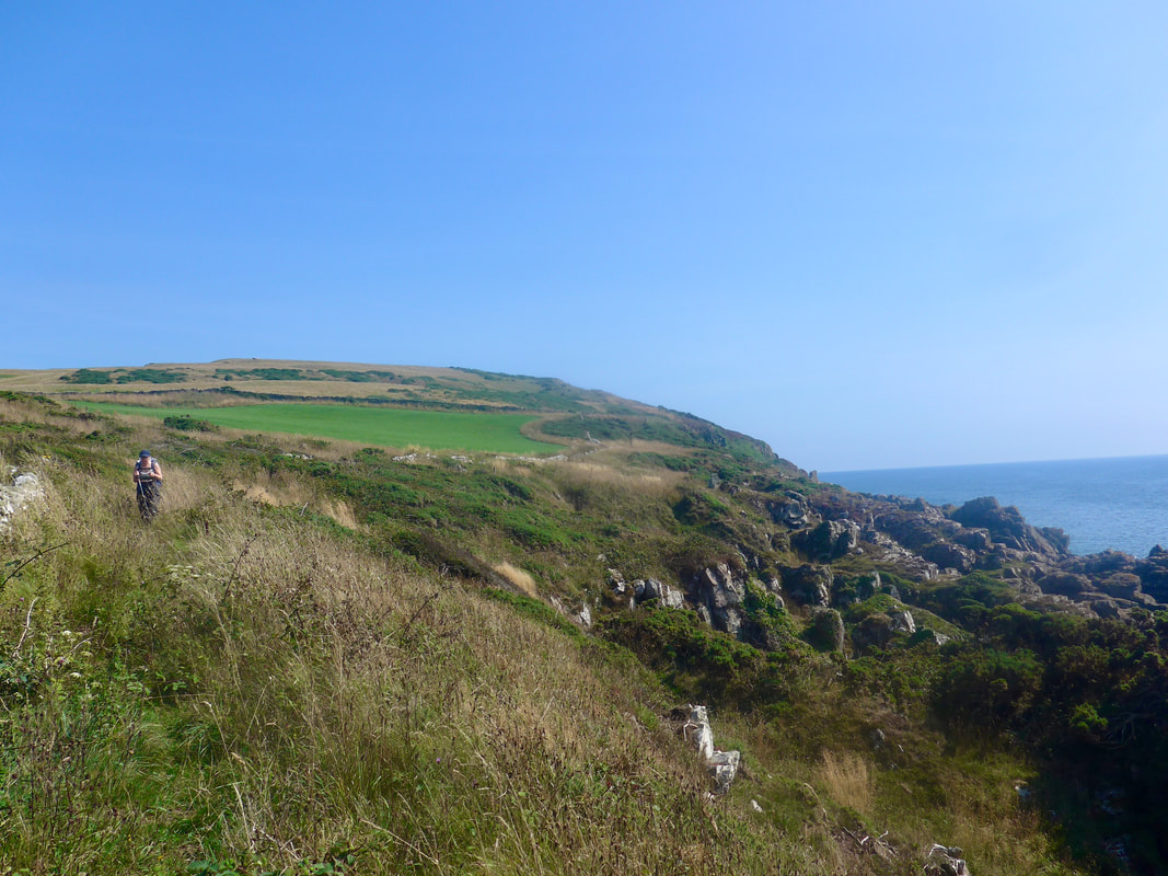
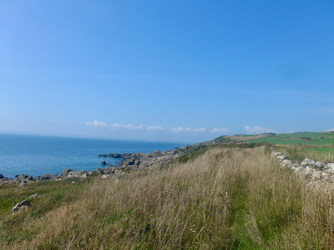
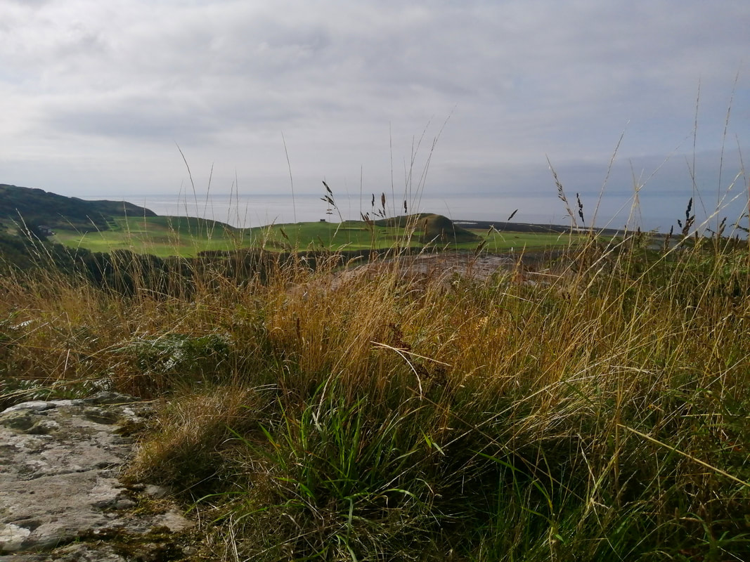
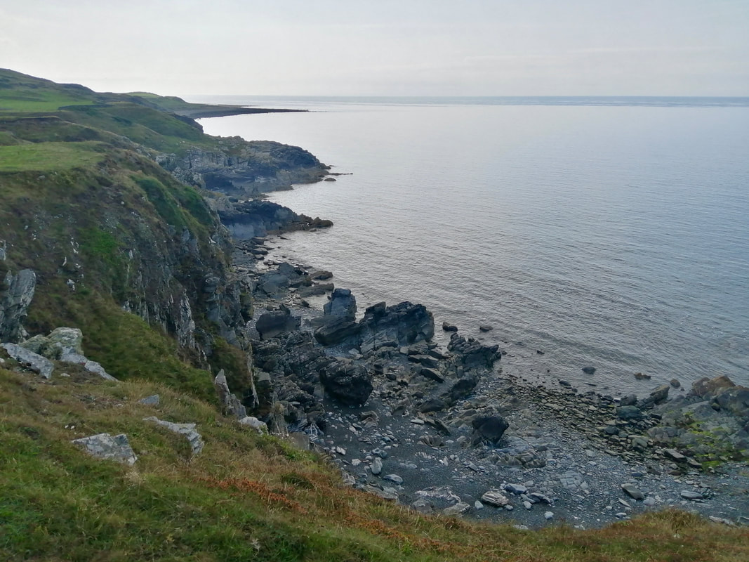
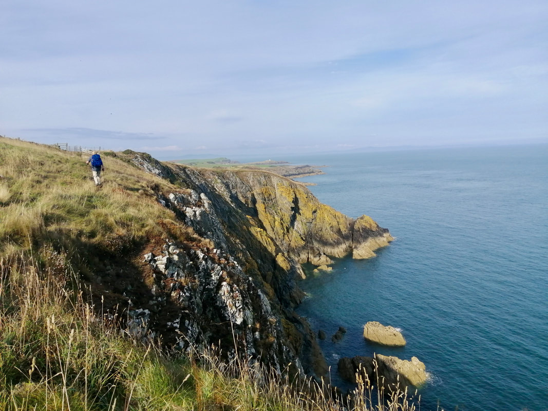
Rocky Shores
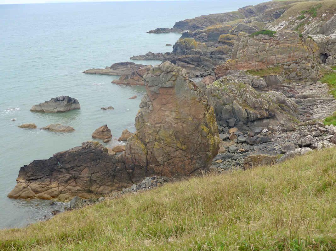
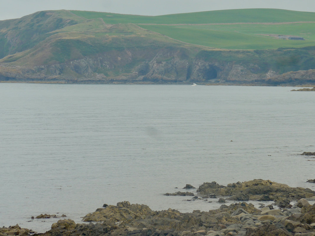
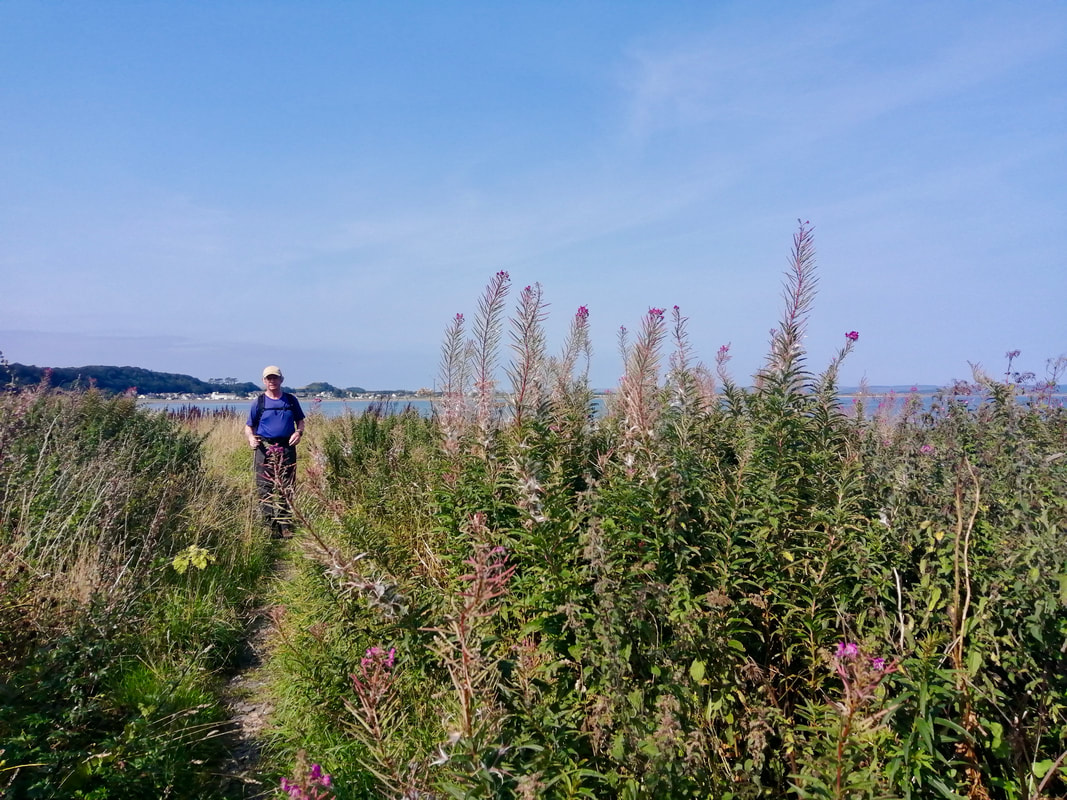
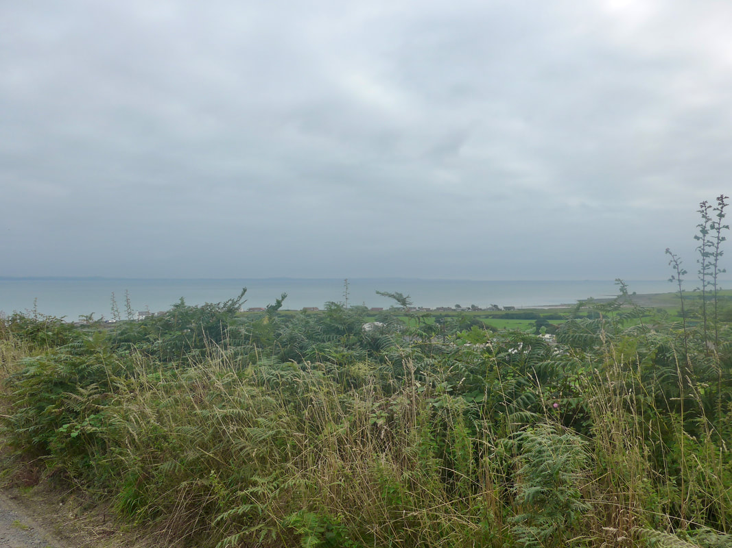
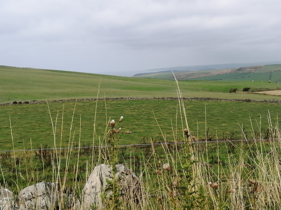
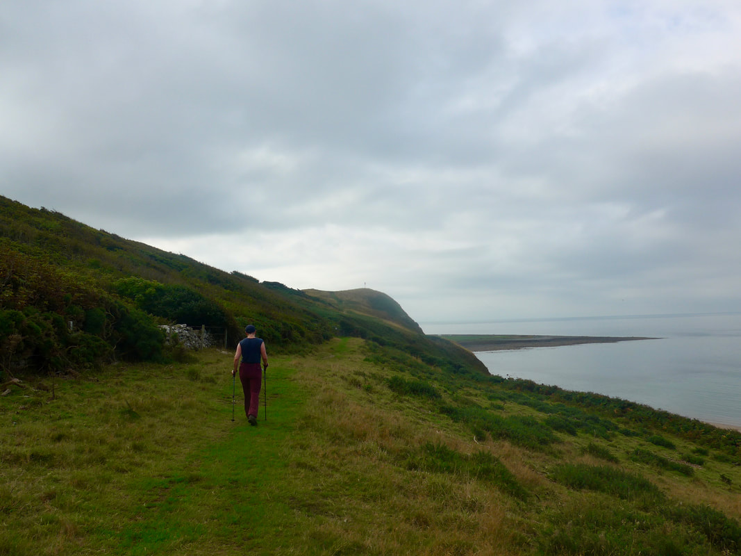
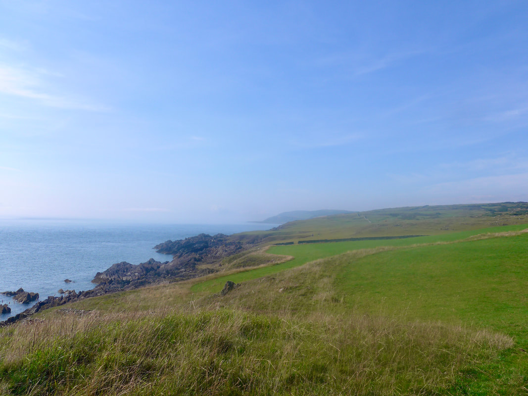
We continued along the coast, as close to the shoreline as we safely could. At times we were walking just to the back of the beach, at others walking slightly higher on the low hills. It was nice seeing a different perspective on Ailsa Craig, the rocky mound occasionally peeking over the hills in front of us.
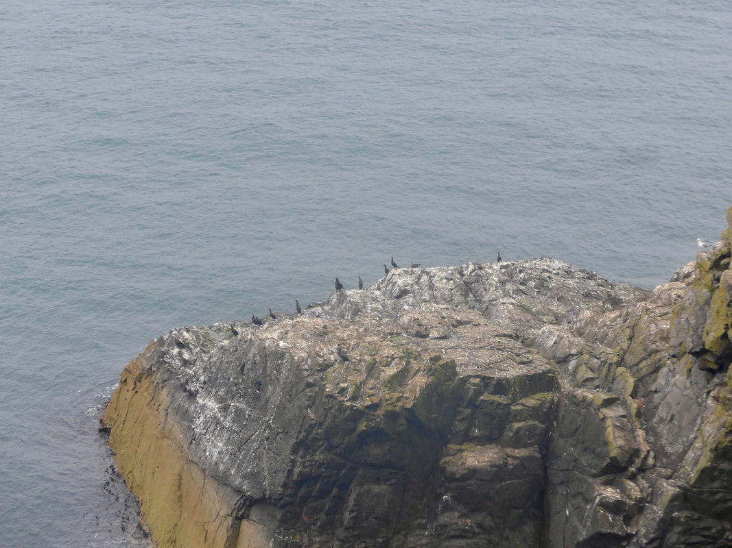
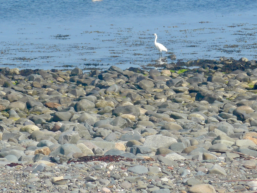
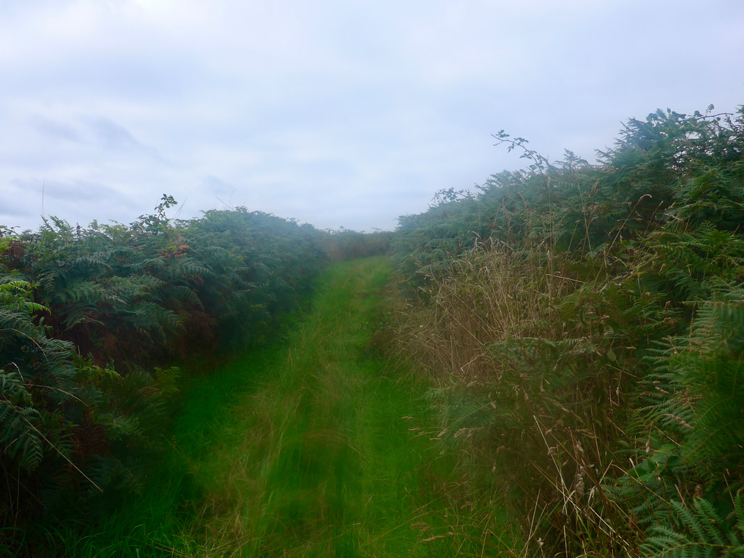
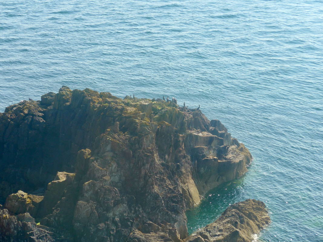
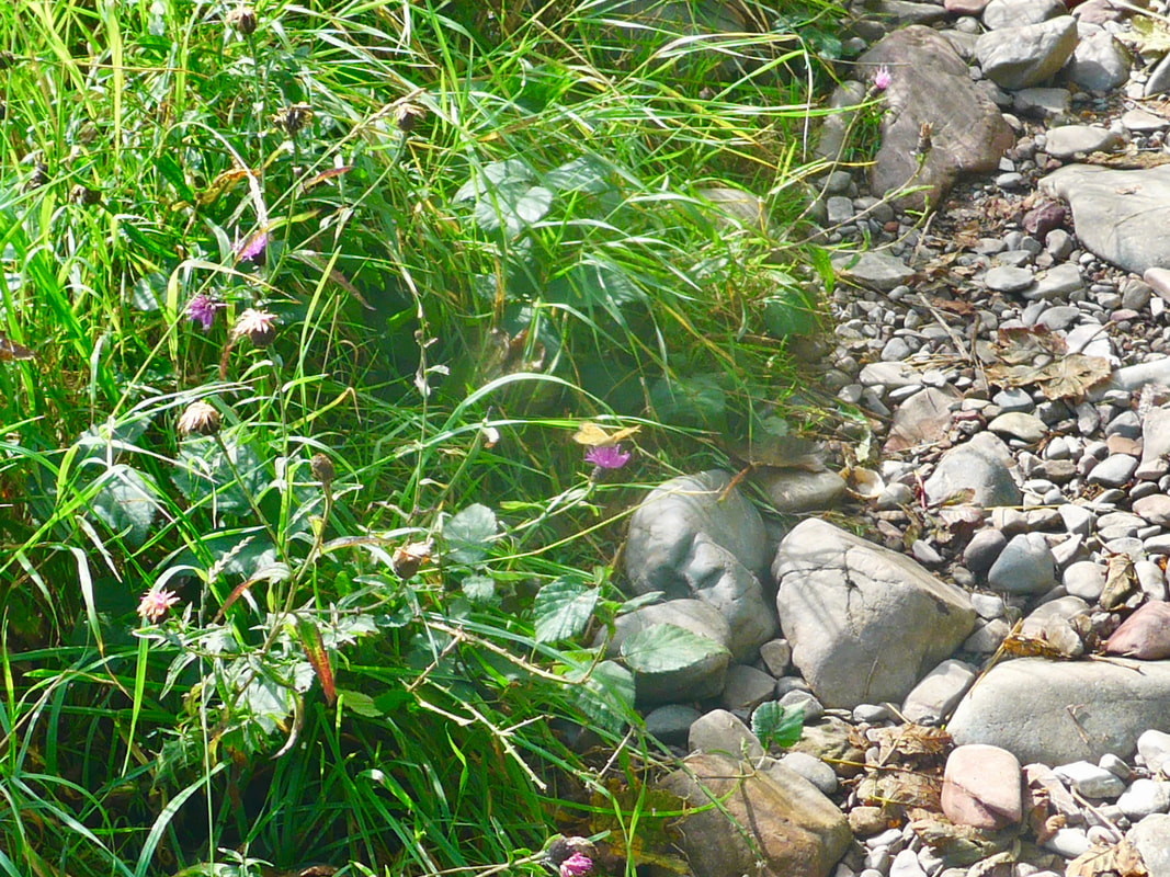
As well as the usual troublemakers of nettle, thistles, brambles, and thick, thick fern, there was a nice smattering of colour about from the last of the summer flowers. Green vegetation was just starting to go over and there was a nice colour palette of reds, browns and gold. Perhaps surprisingly, on this section there was little bird life to be seen. Where we previously we would have thrilled to flocks of various seabirds, there was very little to write home about.
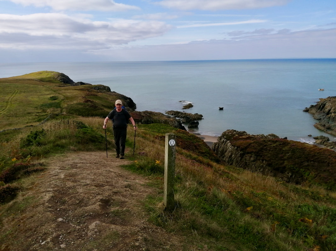
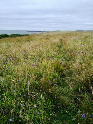
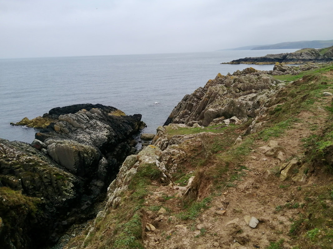
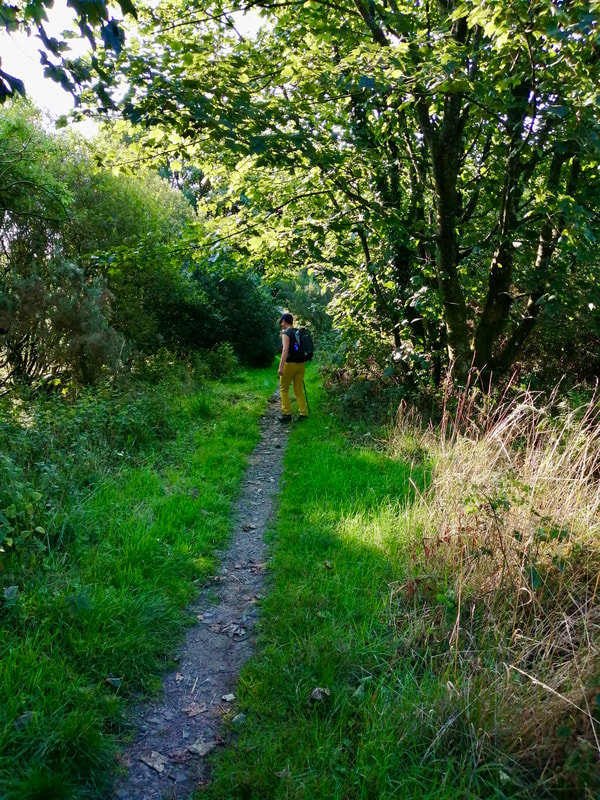
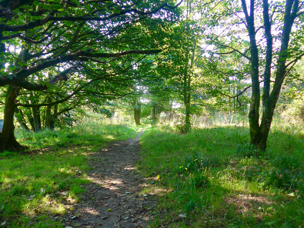
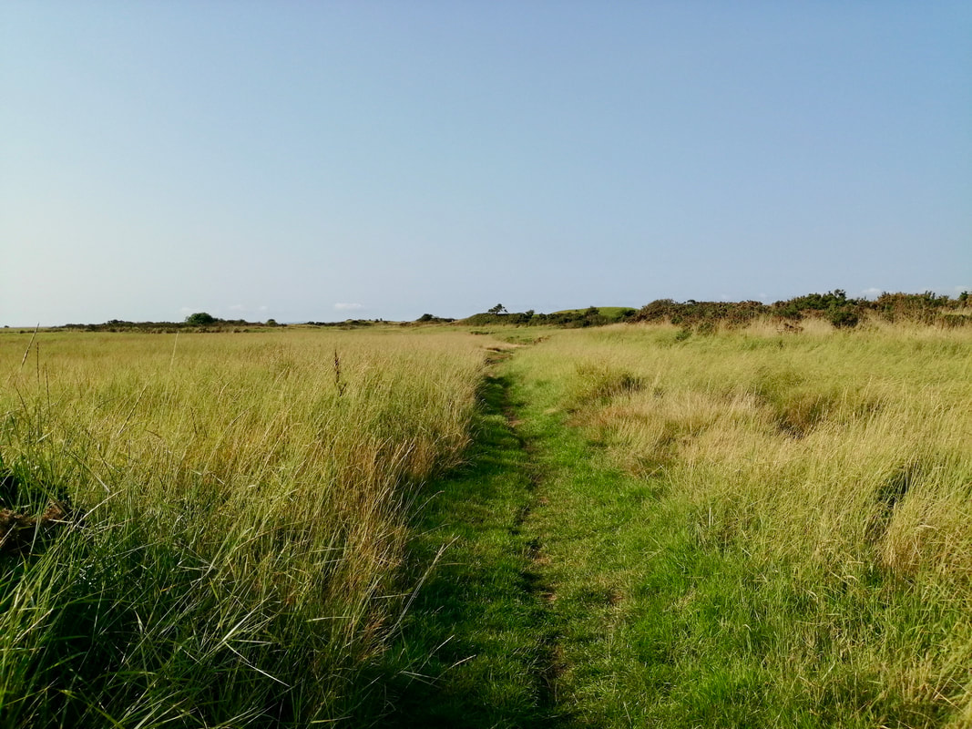
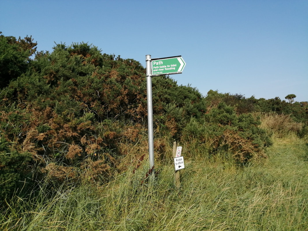
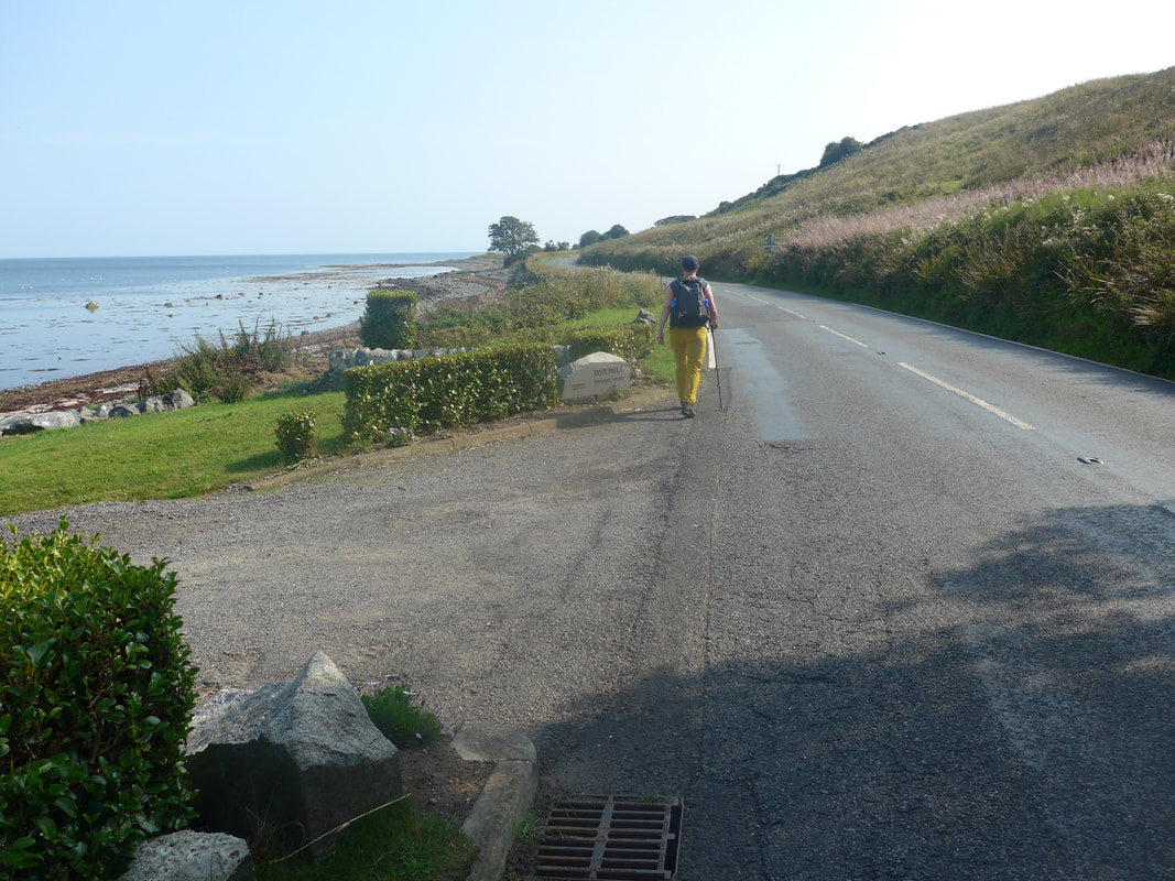
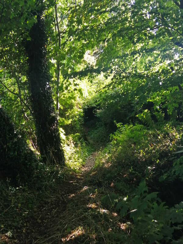
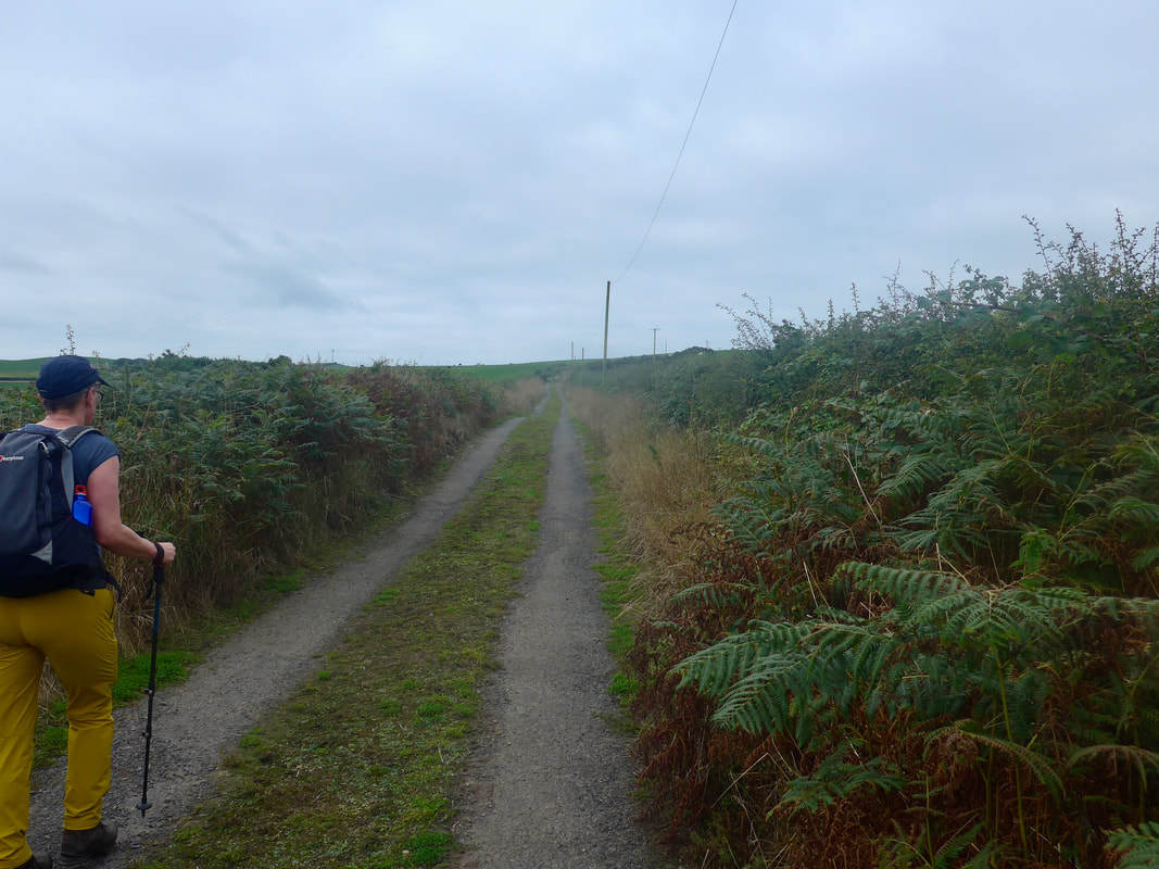
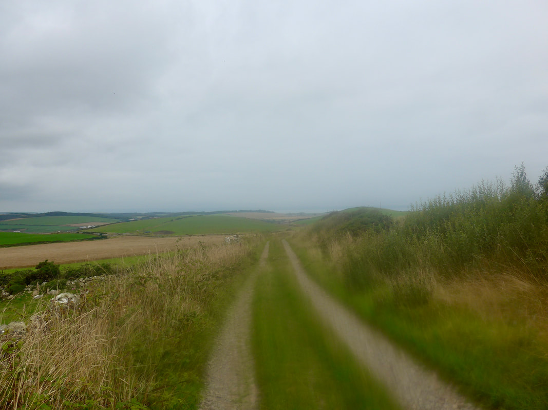
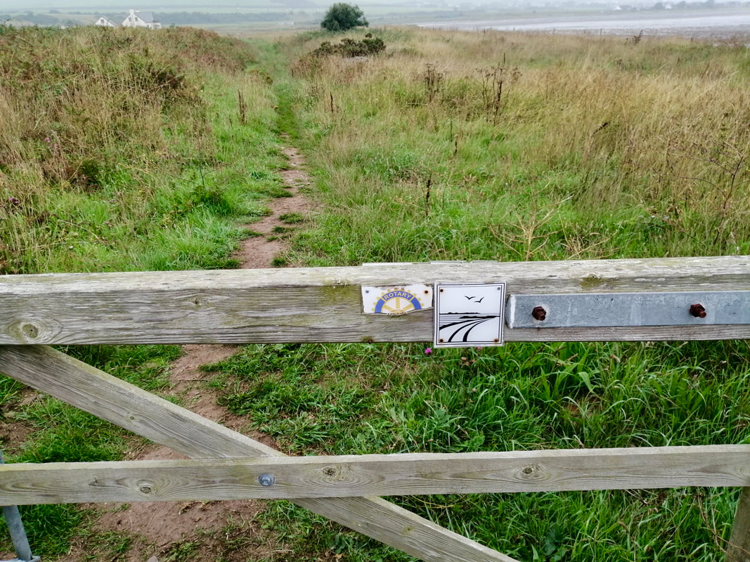
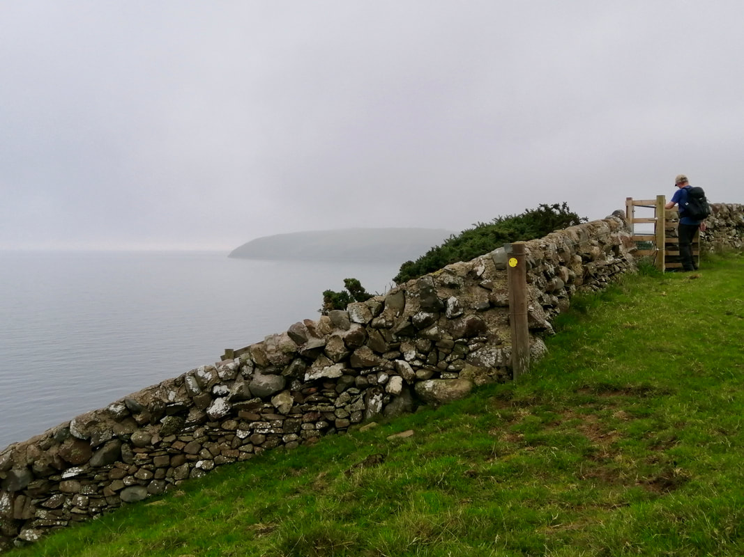
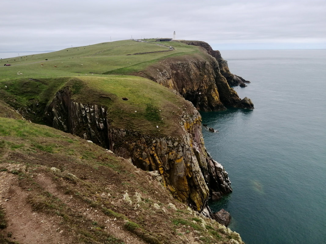
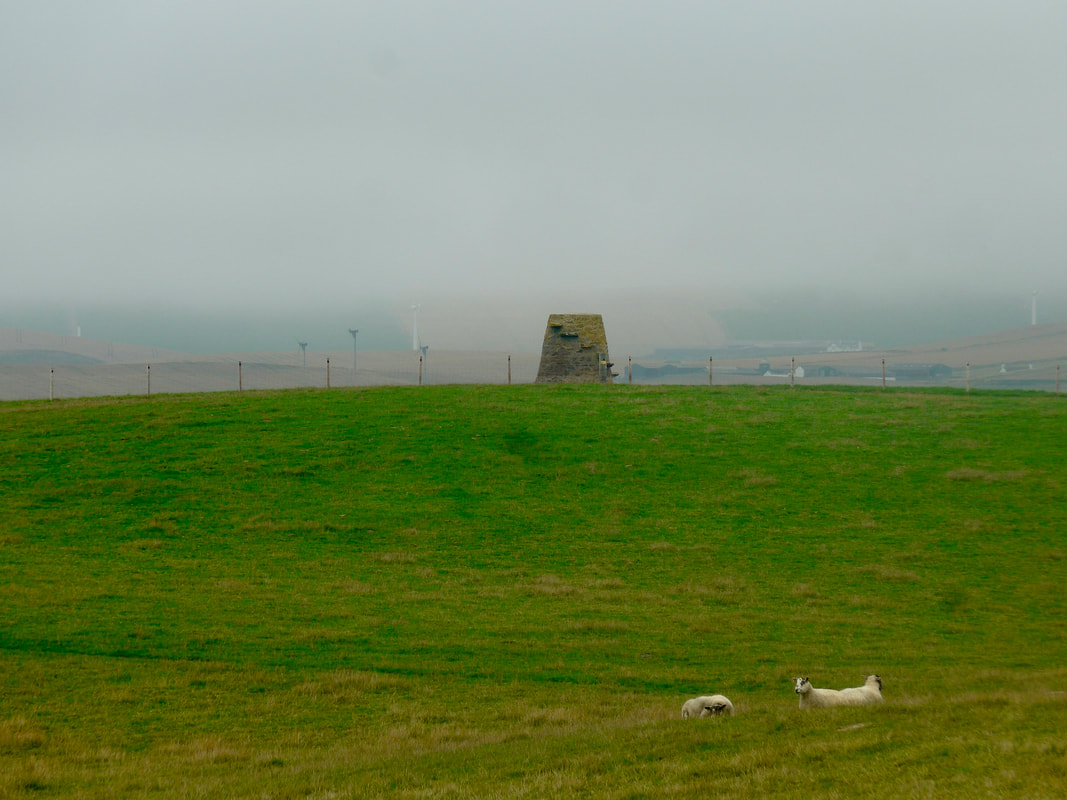
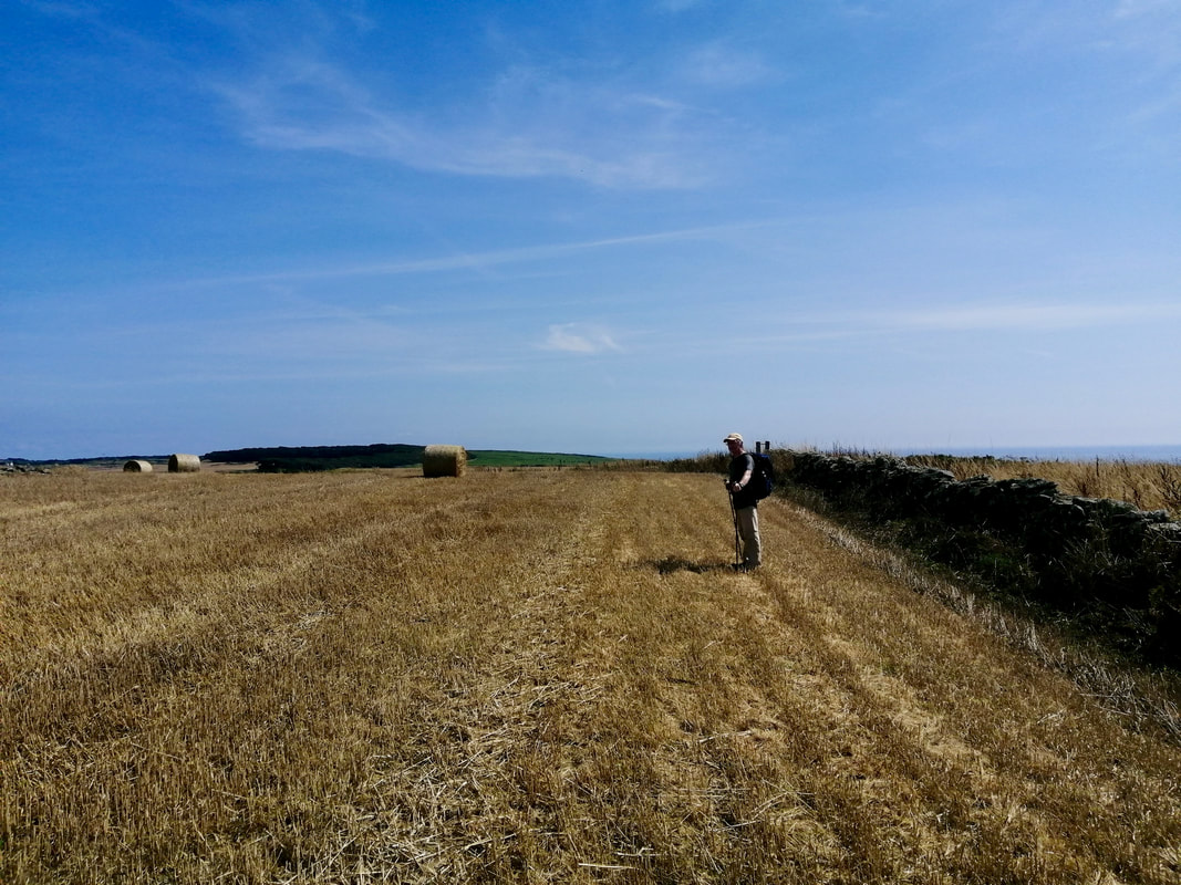
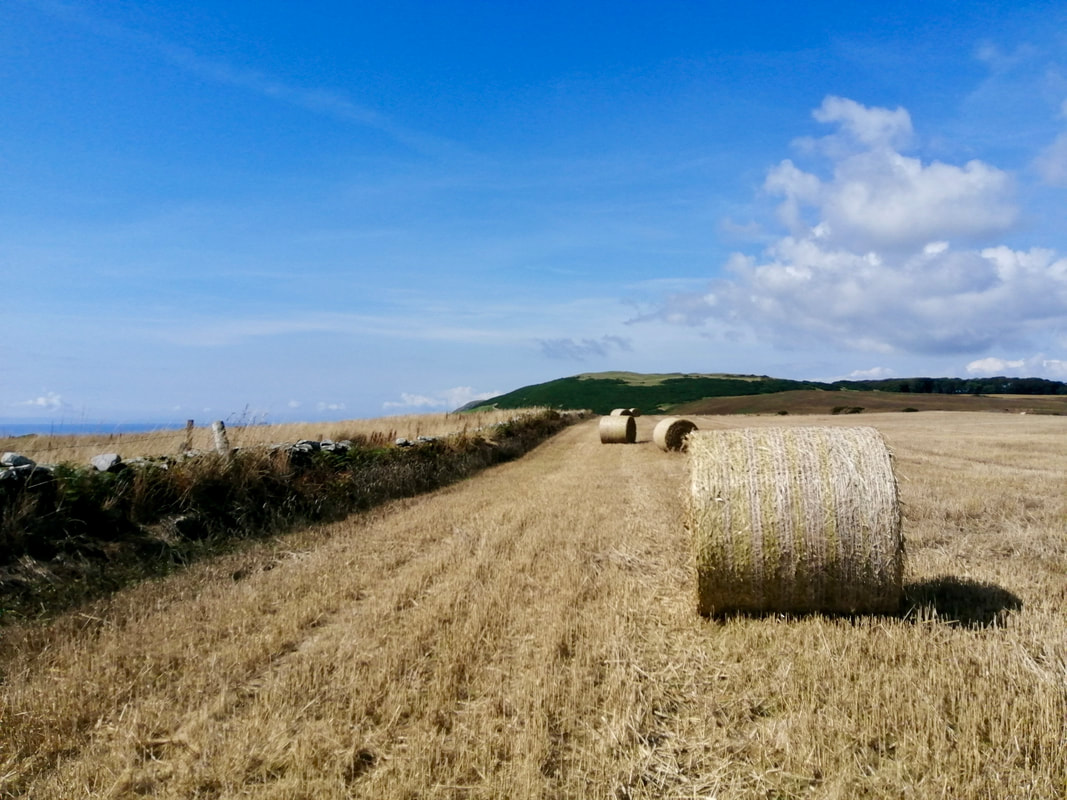
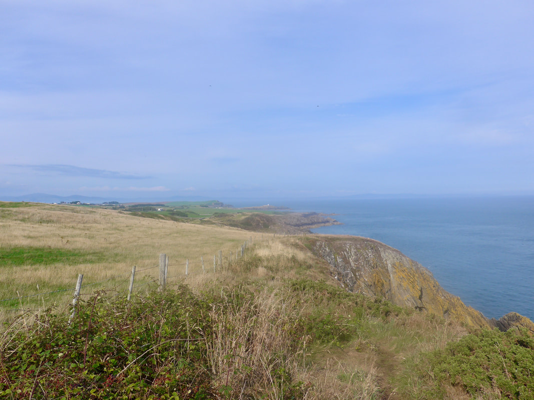
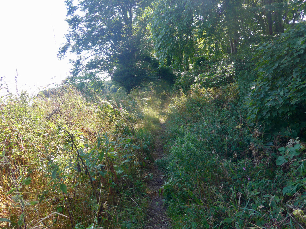
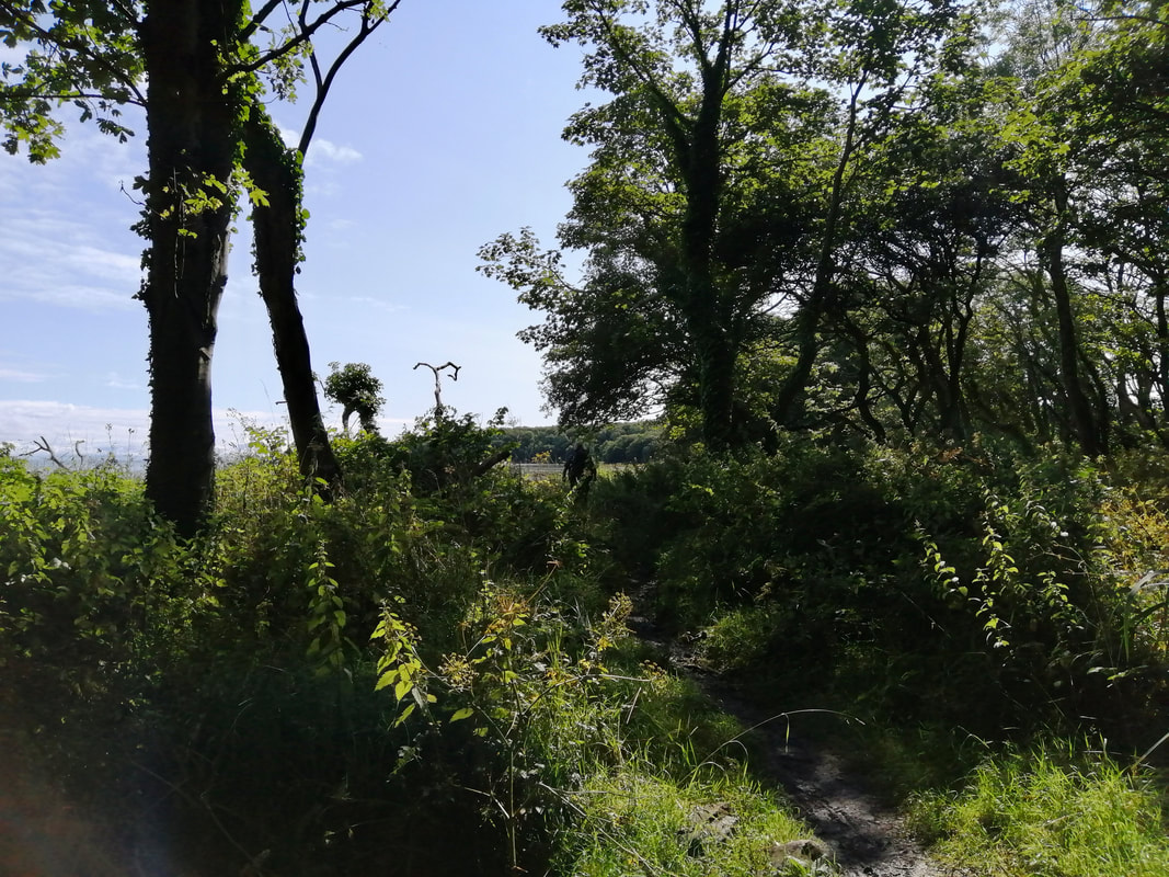
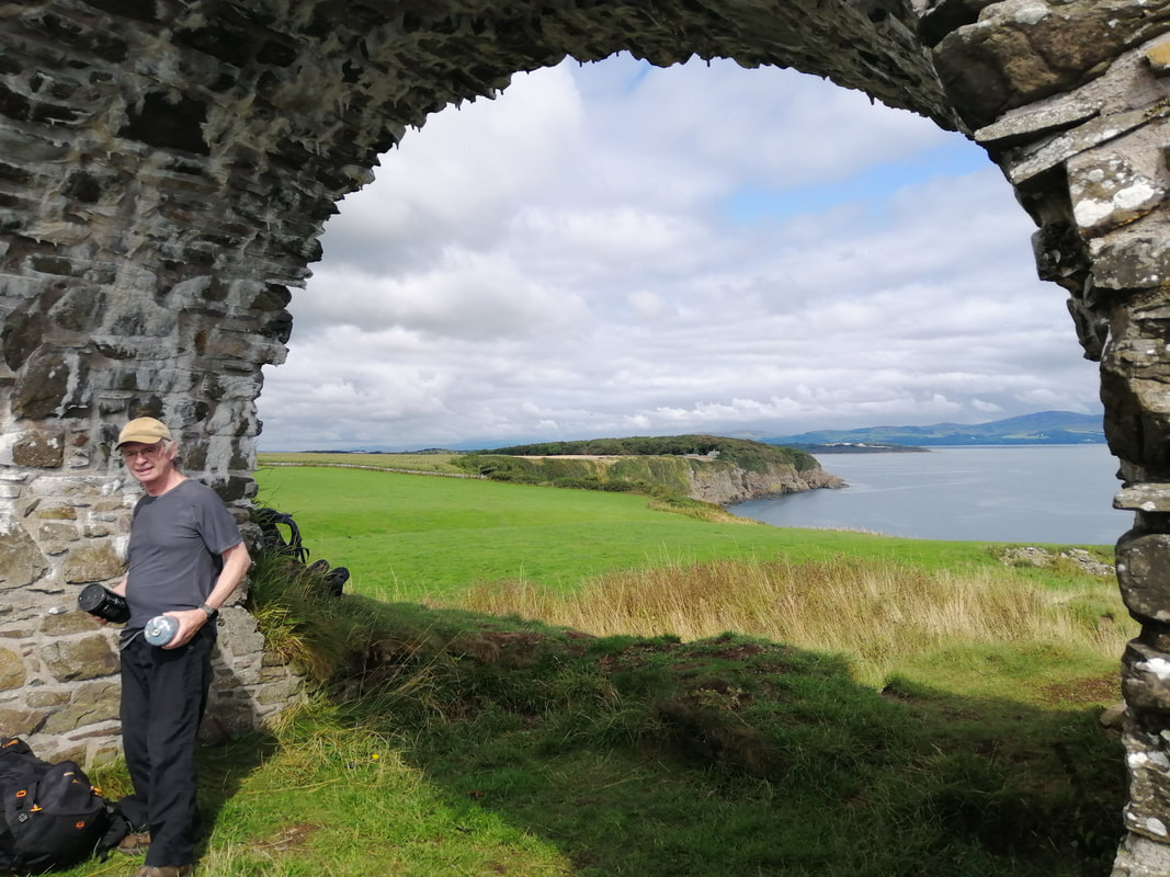
One point of interest as you progress along this section is the sign posts for the Rhins of Galloway Coast Path. After the SUW leaves off at Black Rock, we saw little of any kind of formal route, only the occasional bit of informal, grassy path. At least the occasional map on the route helped you locate yourself more accurately on your own map.
As well as the usual troublemakers of nettle, thistles, brambles, and thick, thick fern, there was a nice smattering of colour about from the last of the summer flowers. Green vegetation was just starting to go over and there was a nice colour palette of reds, browns and gold. Perhaps surprisingly, on this section there was little bird life to be seen. Where we previously we would have thrilled to flocks of various seabirds, there was very little to write home about.
One point of interest as you progress along this section is the sign posts for the Rhins of Galloway Coast Path. After the SUW leaves off at Black Rock, we saw little of any kind of formal route, only the occasional bit of informal, grassy path. At least the occasional map on the route helped you locate yourself more accurately on your own map.
 Dounan Bay
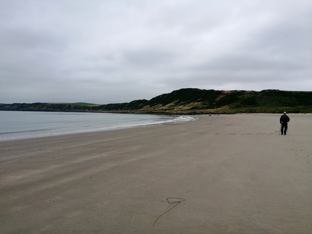
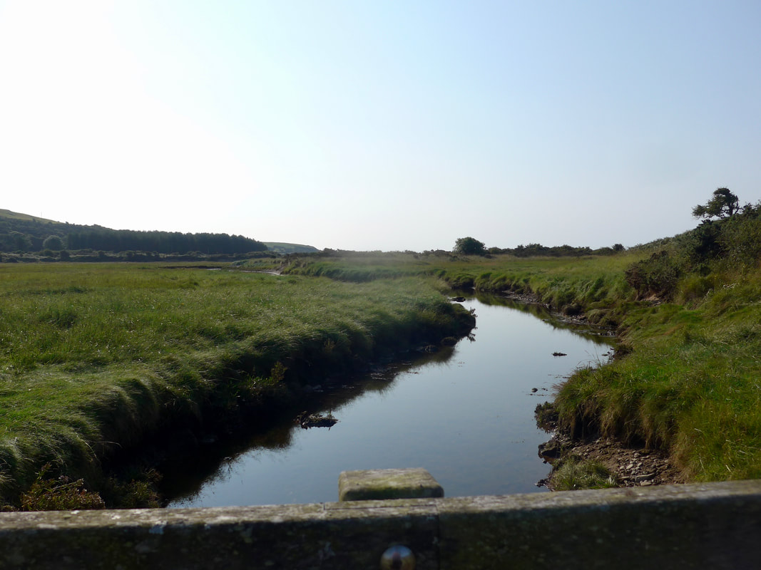
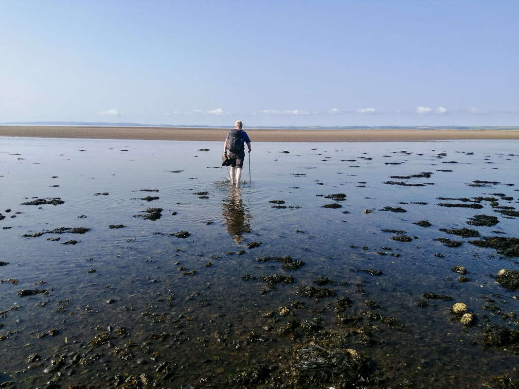
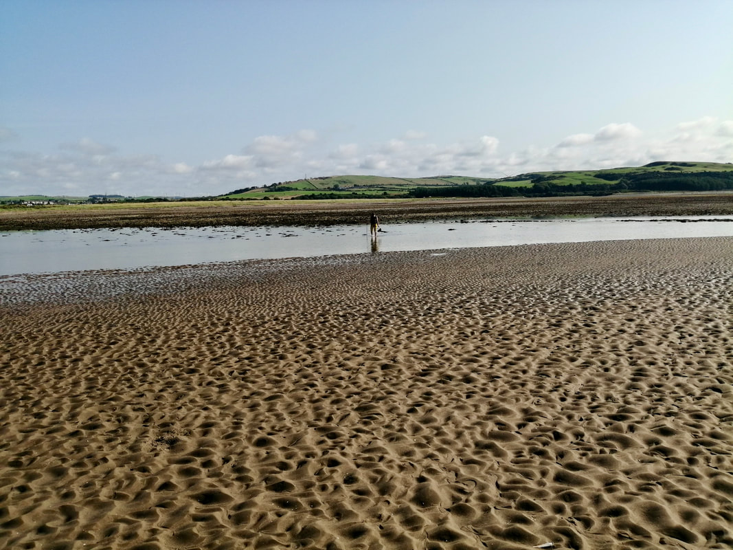
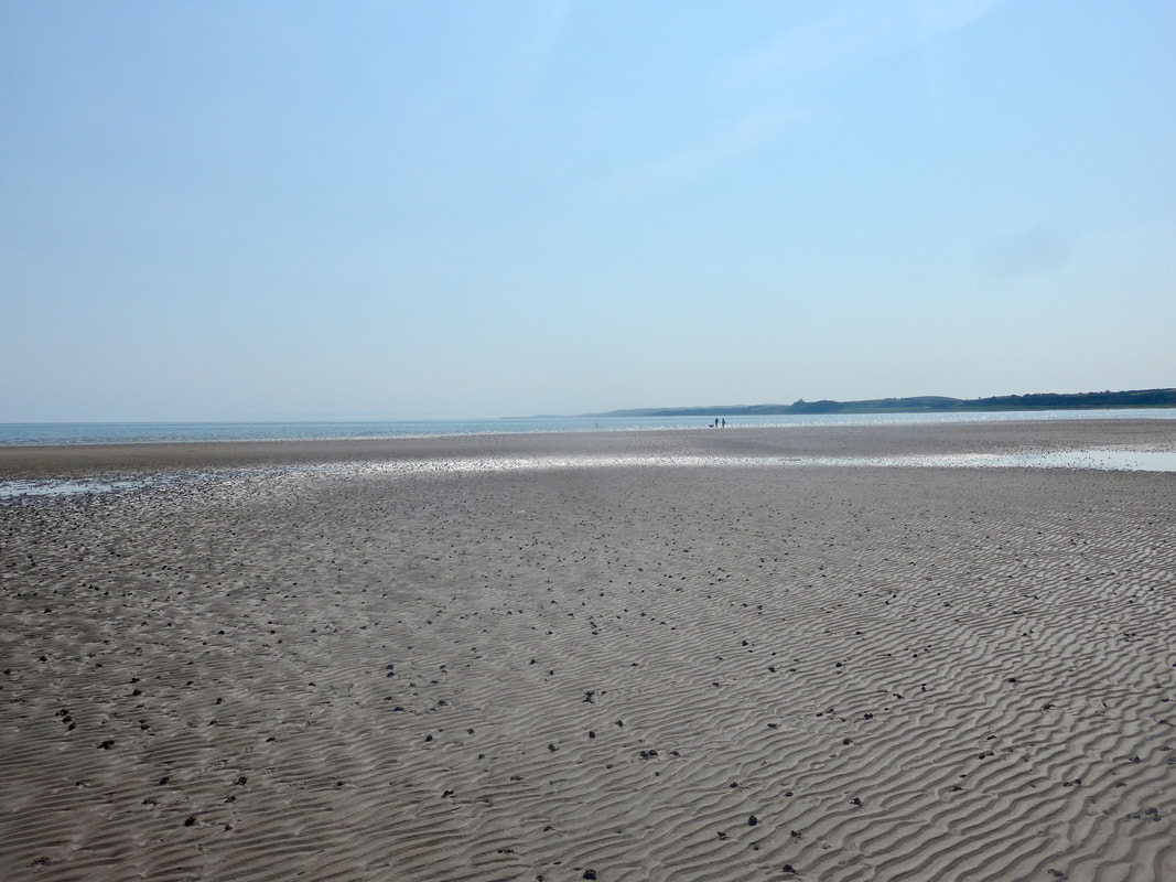
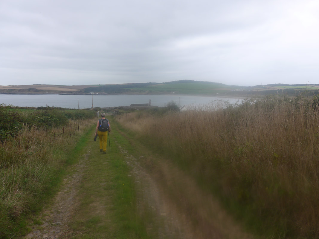
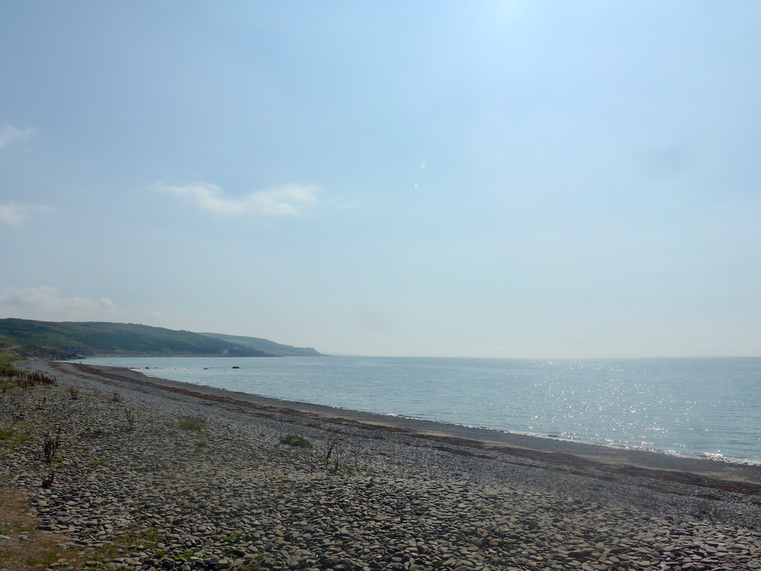
 We passed our third Salt Pan Bay of the day, just before Dounan Bay. The tide was on the turn again, retreating across the rocks, exposing the nice, sandy beach at Dounan. Coming off this bay and on round to about Portnaughan Bay, just to the back of the beach there were a few boggy areas of the type where you are jumping from one bit of dirt to the next, never sure if it is going to take your weight or not.
Crossing over one section of bog we were delighted to see a large dog or boar otter come out of the sea and make its way over the beach towards us. It slipped in and out of different little rock pools, seemingly completely unaware of our presence. We expected it to disappear, sharpish, when it did see us, but to the contrary in made a beeline for Joanna, coming right up to her foot and sniffing her boot. Then it ran away, rapidly crossing the back of the shore to disappear in to the heavy undergrowth. Of course, we were so captivated by the otter, or maybe that should be shocked, we never thought to get out the camera.
Crossing over one section of bog we were delighted to see a large dog or boar otter come out of the sea and make its way over the beach towards us. It slipped in and out of different little rock pools, seemingly completely unaware of our presence. We expected it to disappear, sharpish, when it did see us, but to the contrary in made a beeline for Joanna, coming right up to her foot and sniffing her boot. Then it ran away, rapidly crossing the back of the shore to disappear in to the heavy undergrowth. Of course, we were so captivated by the otter, or maybe that should be shocked, we never thought to get out the camera.
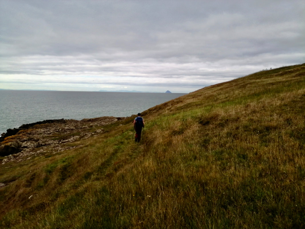
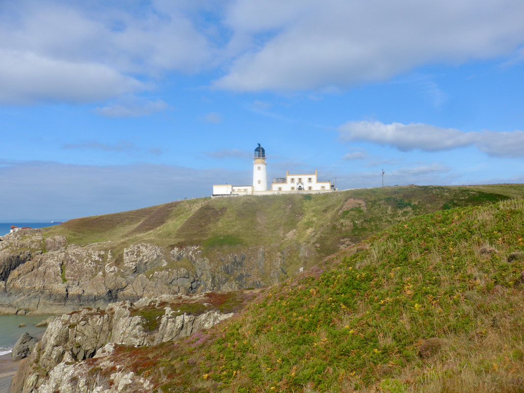
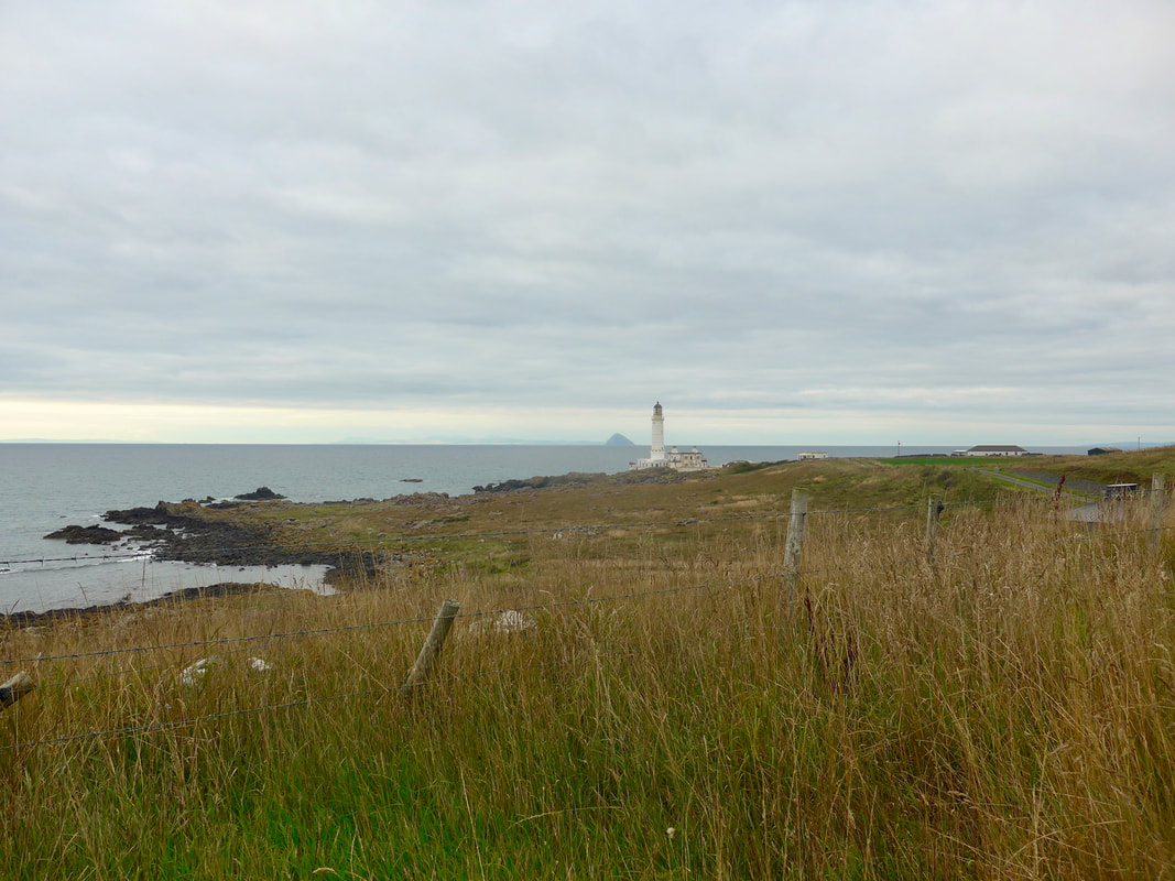
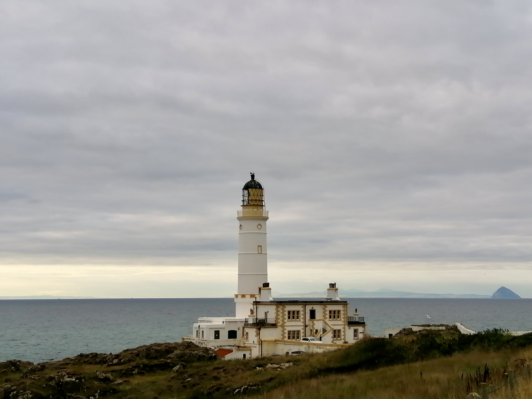
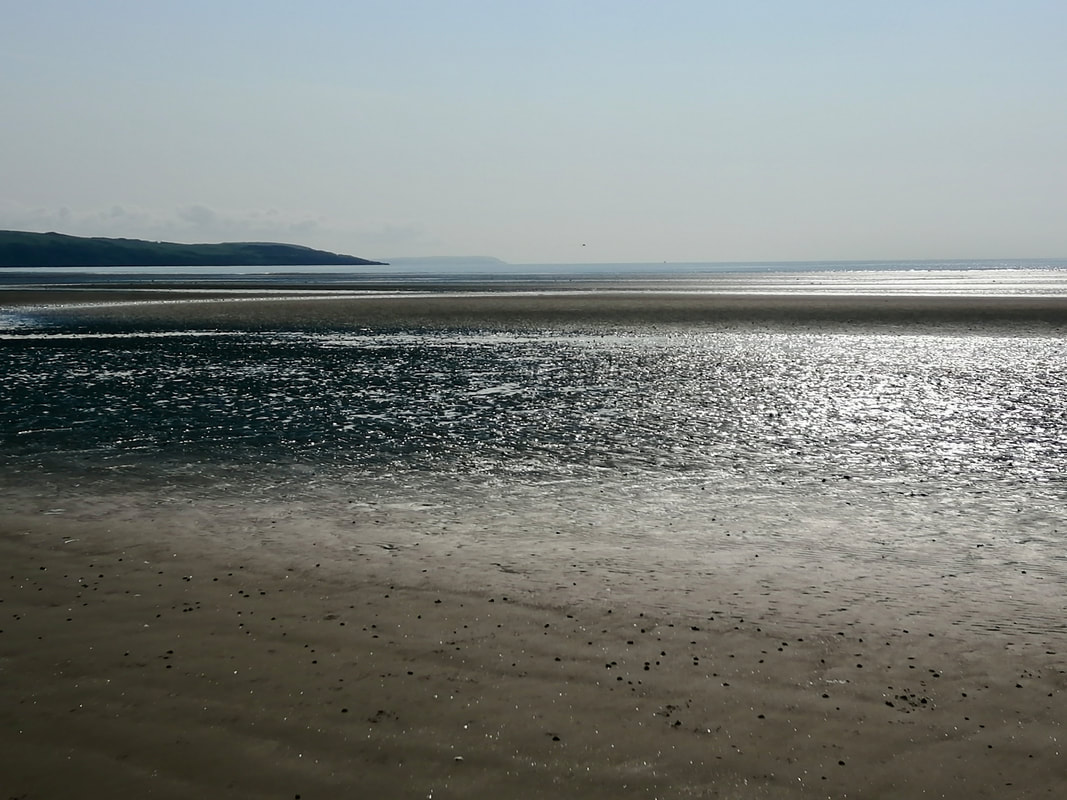
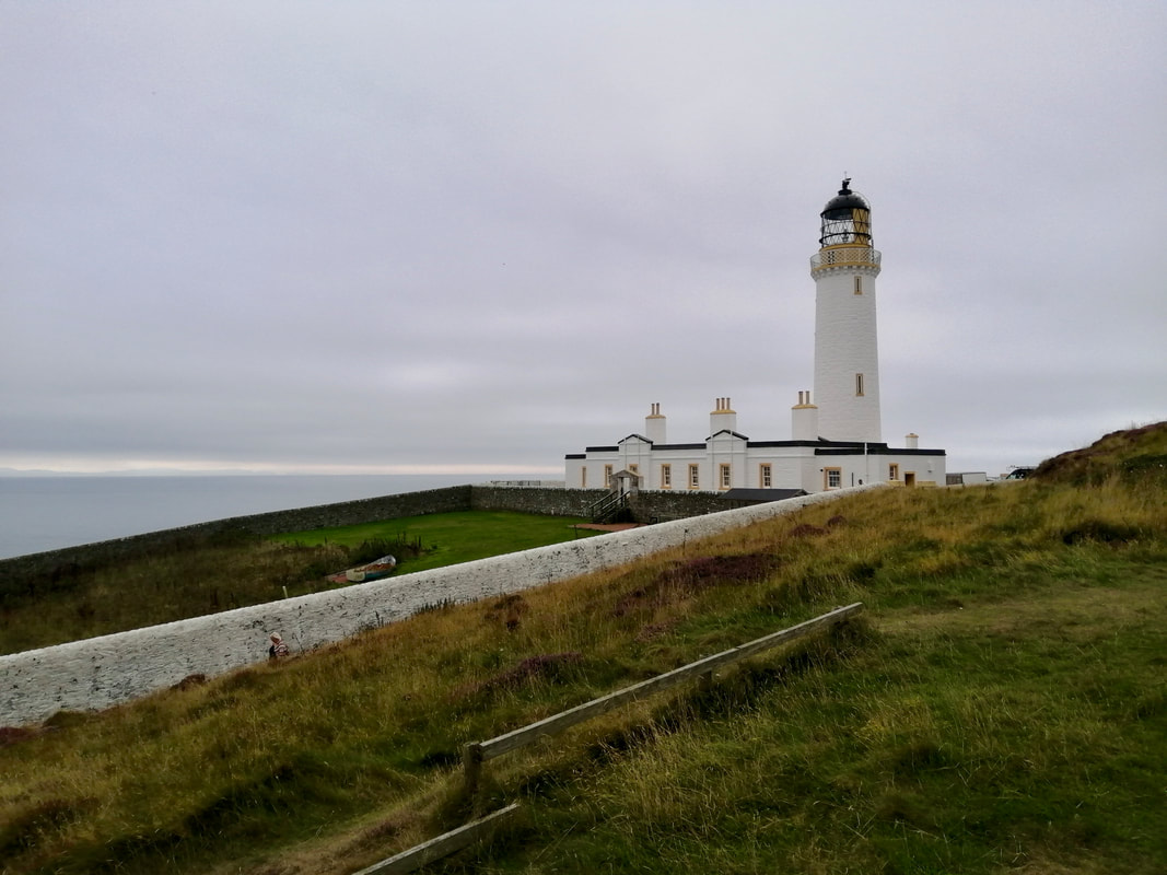
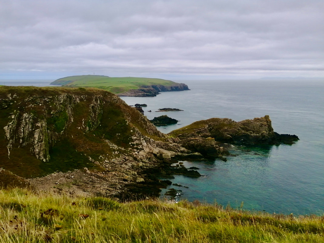
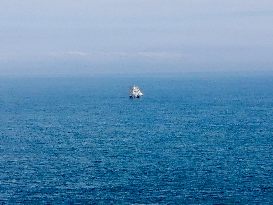
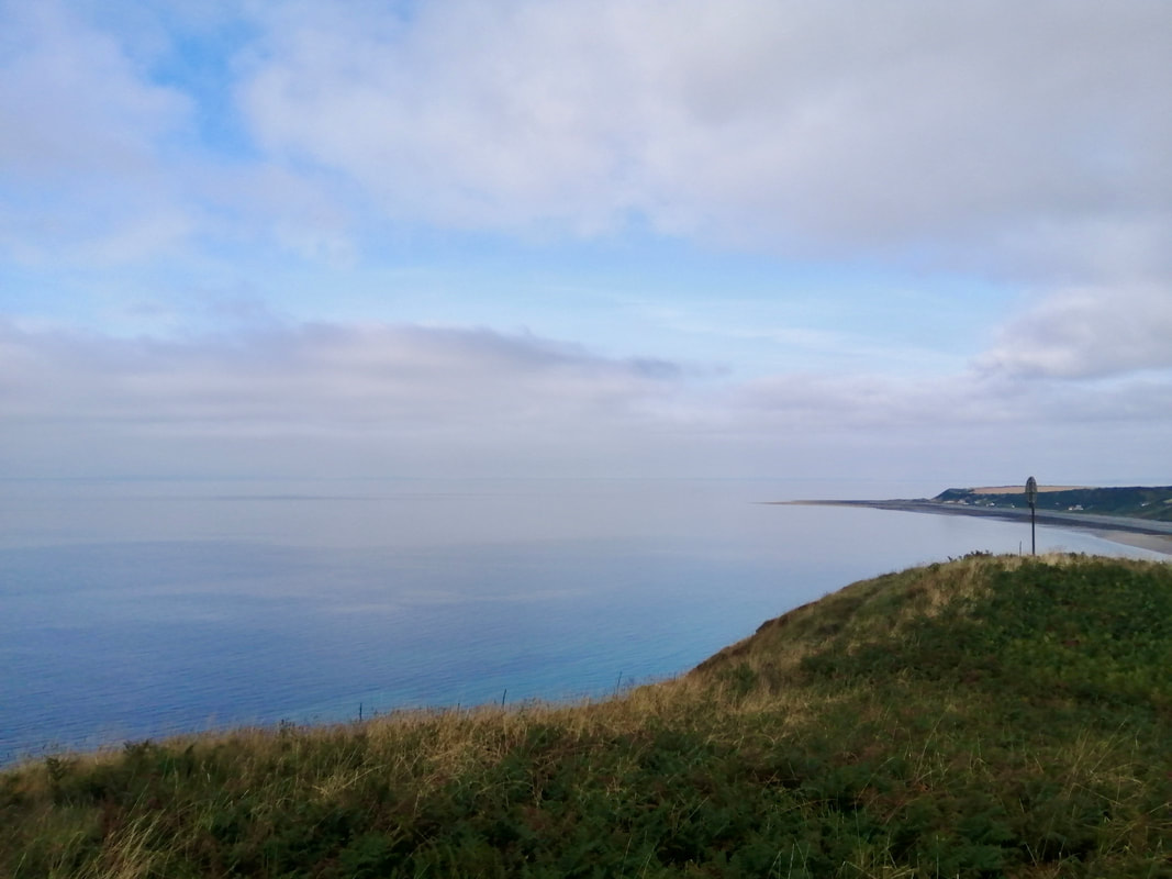
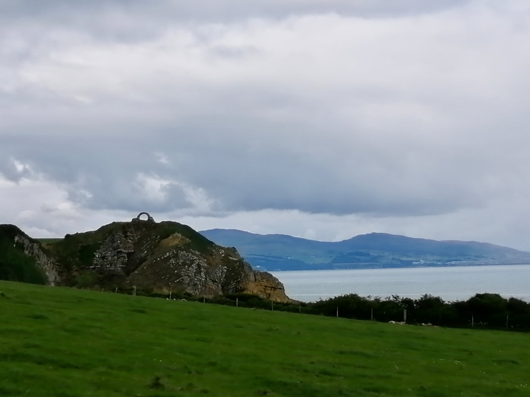
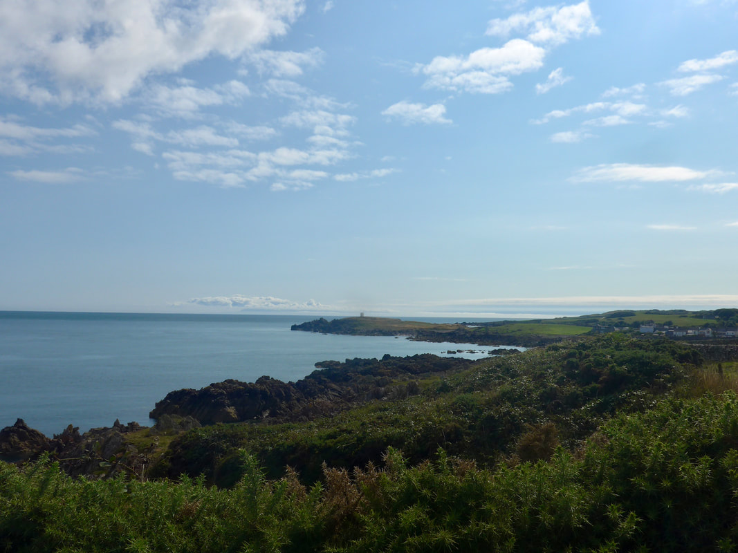
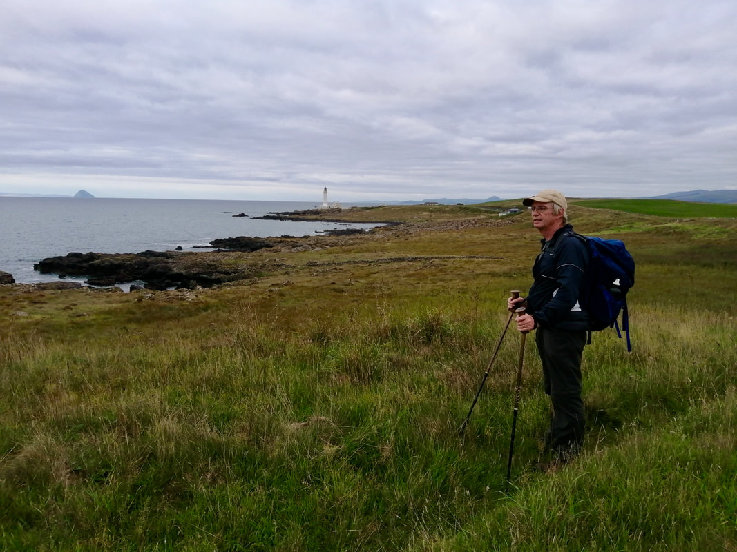 Ailsa Craig & Corsewell Lighthouse
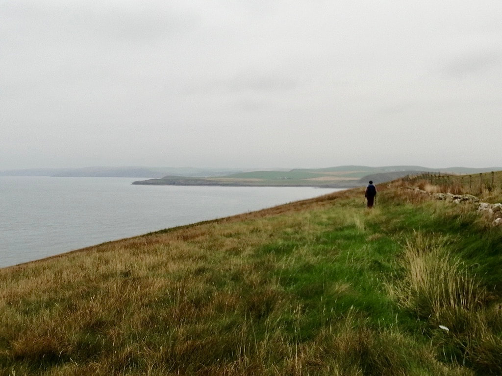
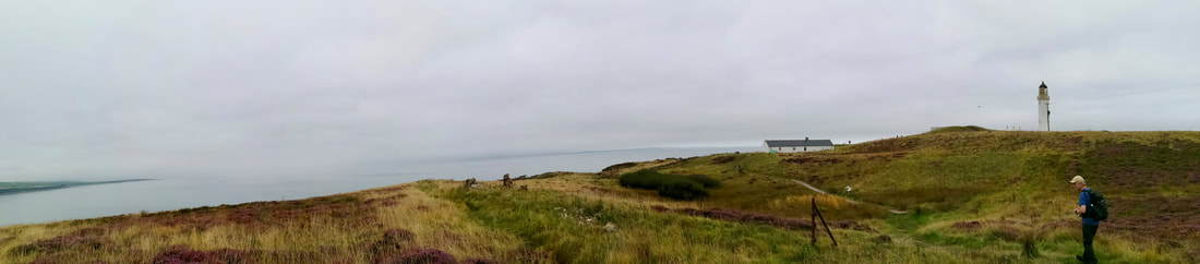
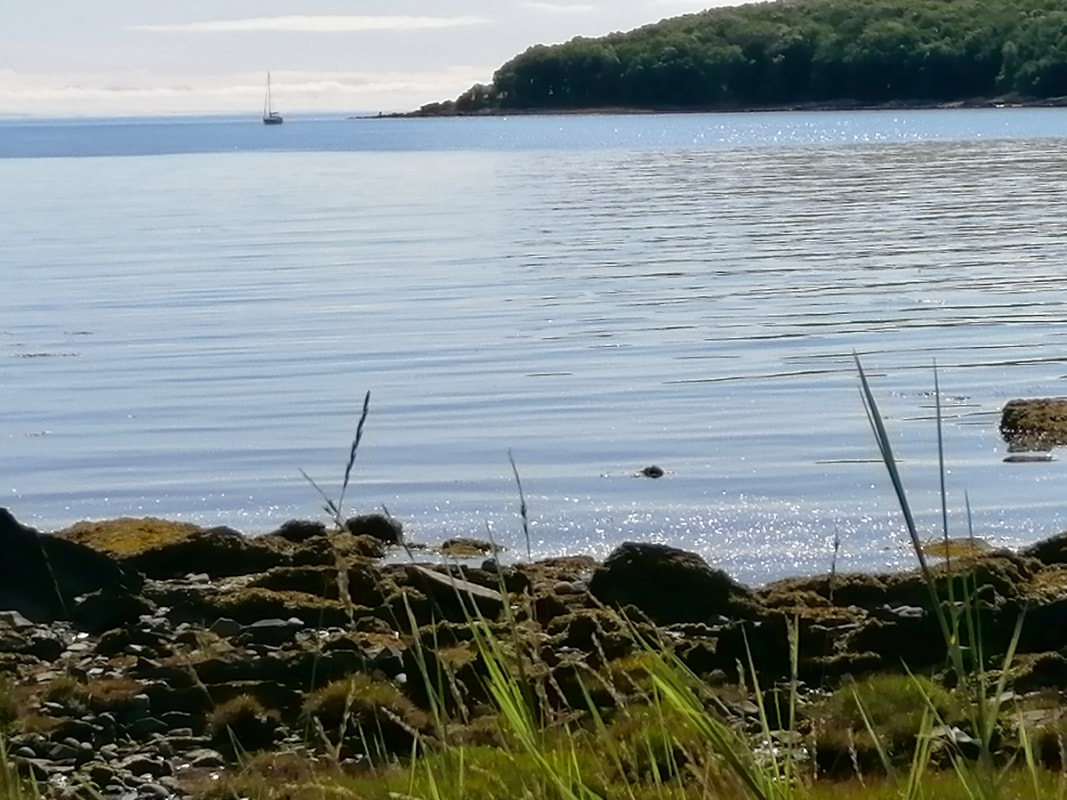
 I'm not sure if it is the psychology of walking that deceives us, or whether it is the topography on the ground, but time after time we are caught out by seeing a landmark like a lighthouse or a house or some such, and we immediately conclude we must be nearly finished. This is, of course, seldom if ever true. It is, perhaps, what gives truth to the notion that the last mile is always the longest.
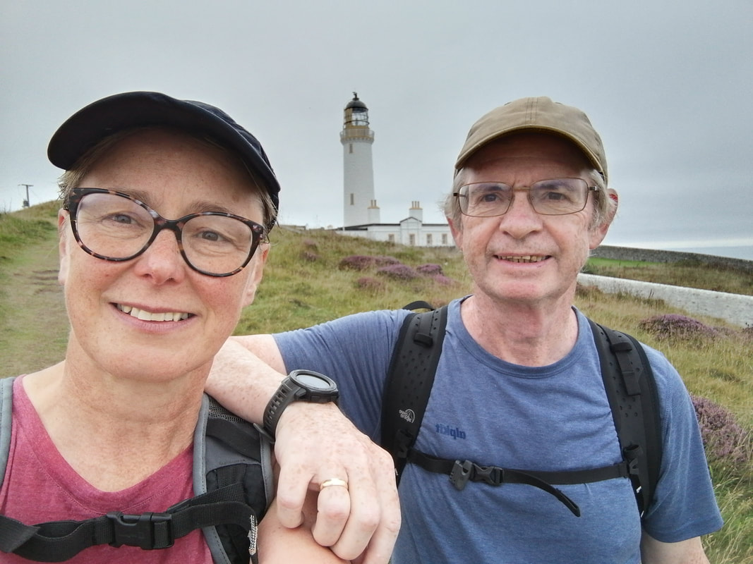
So it was with Corsewell Lighthouse which we could see from some distance away but which, for however long we walked, never seemed to be any closer. Until, of course, when it was and suddenly you realise the walk is finished.
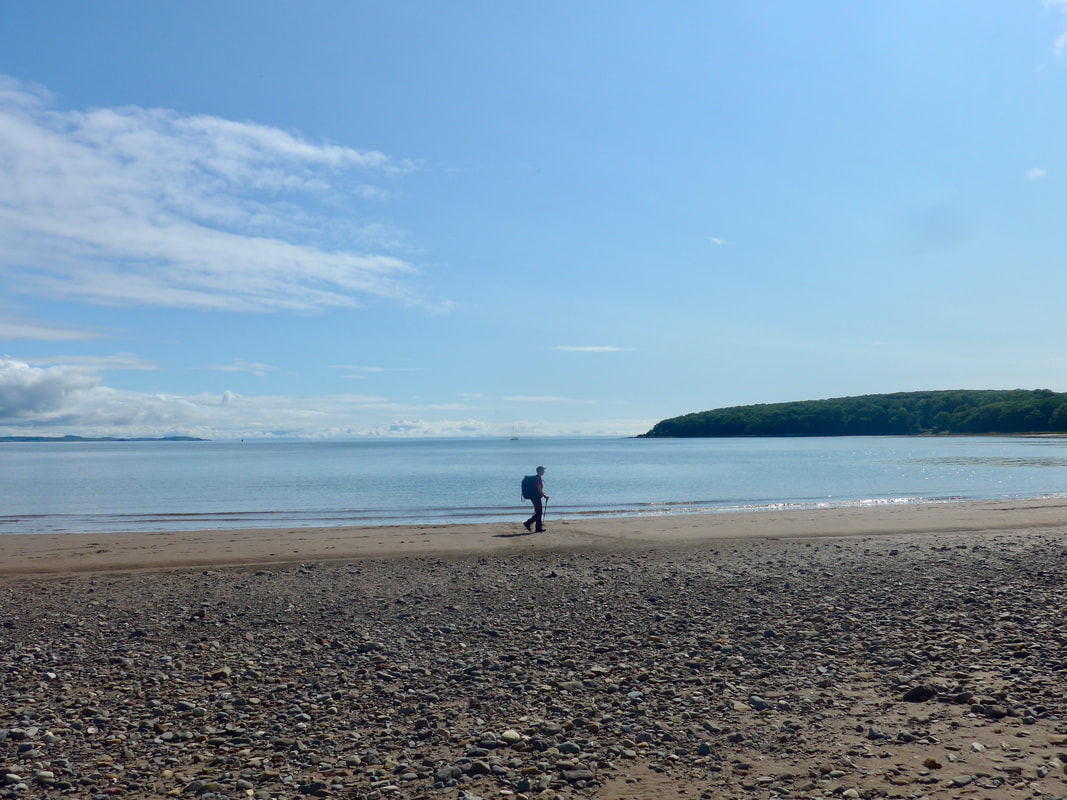
Our day ended just as the gloaming set in and we avoided having to blunder about in the dying light. This a wonderful walk and at roughly fifteen miles, not too arduous over the piece. If the tide is right you can walk a substantial part of it (the majority) on the shore or just to the back of the high water mark. There are rocky sections and the occasional scramble over the rocks to avoid wet feet, but what a joy it is. Highly recommended.
So it was with Corsewell Lighthouse which we could see from some distance away but which, for however long we walked, never seemed to be any closer. Until, of course, when it was and suddenly you realise the walk is finished.
Our day ended just as the gloaming set in and we avoided having to blunder about in the dying light. This a wonderful walk and at roughly fifteen miles, not too arduous over the piece. If the tide is right you can walk a substantial part of it (the majority) on the shore or just to the back of the high water mark. There are rocky sections and the occasional scramble over the rocks to avoid wet feet, but what a joy it is. Highly recommended.
Ailsa Craig & Corsewell Lighthouse


 RSS Feed
