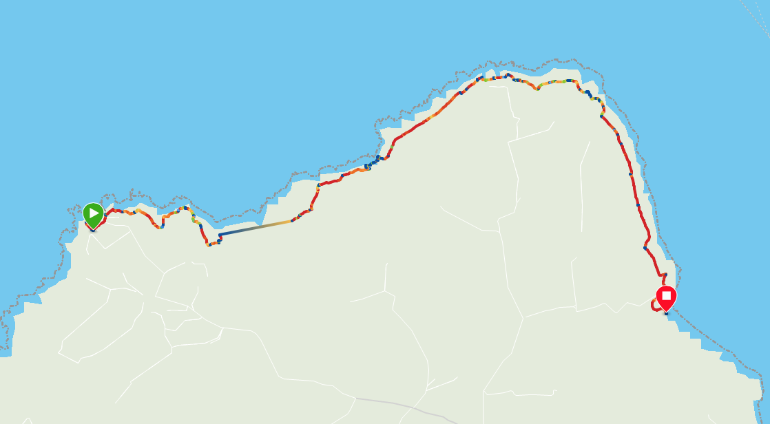
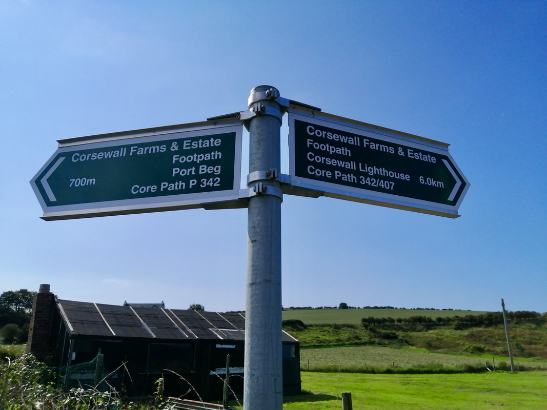
Route Markers: (1) Corsewall Lighthouse - Port Leen - Milleur Point - Lady Bay - (2) Portbeg - Clachan Hill Farm - Smithy Bridge - Kirkcolm - Wig Sands - Marion Port - Salchrie - Soleburn - McCulloch's Point - Stranraer
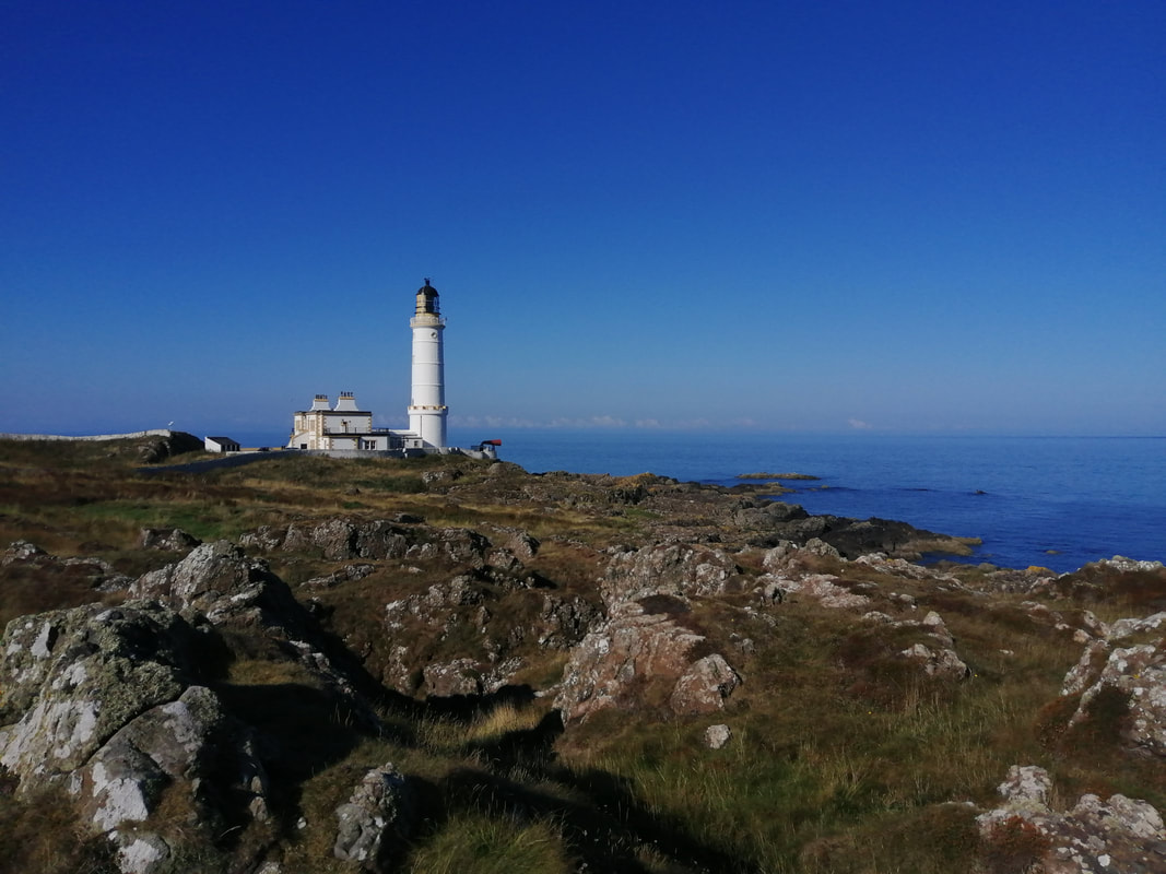
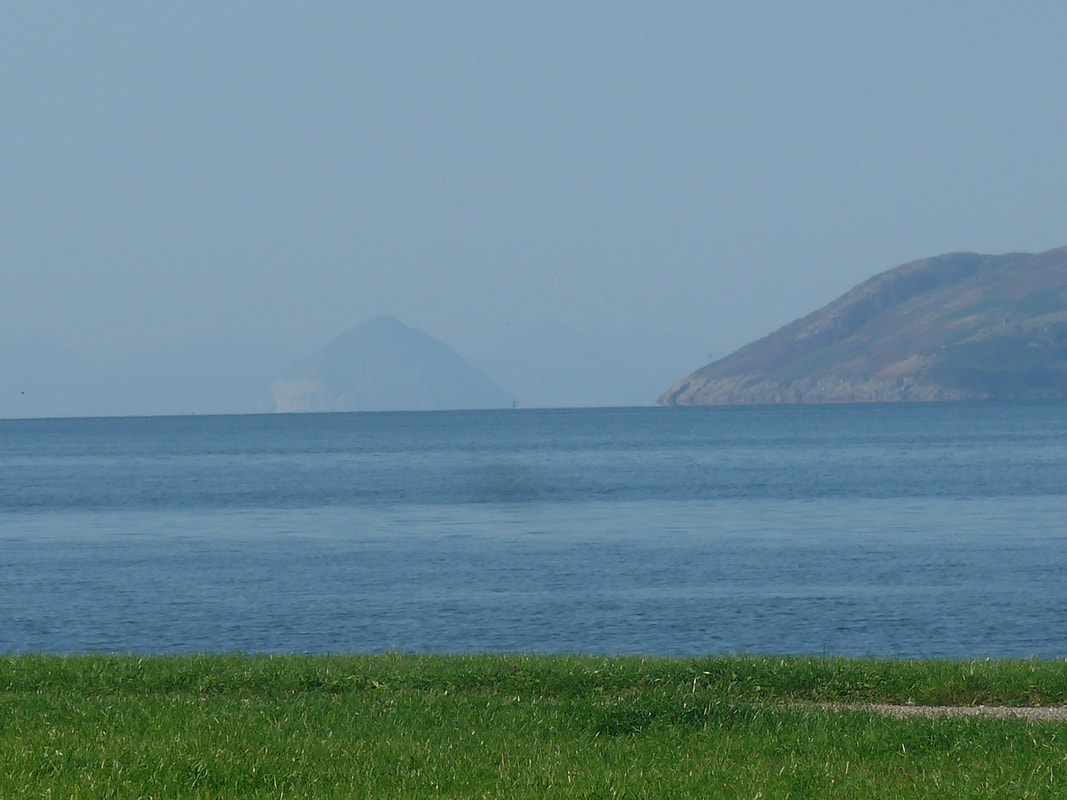
Following an adventurous hike yesterday from Portpatrick to Corsewall, we stopped for the night in the Corsewall Lighthouse Hotel. We were not sure what to expect but were certainly delighted with our delightful six-course 'taster' menu. after dinner we went outside to watch the sun slip away to its rest over the dim outlines of Ailsa Craig, the Isle of Arran and the bottom of the Kintyre Peninsula in Argyll, before enjoying a good night's rest.
The plan today, as yesterday, was to keep as close to the coast as possible. Again, there is no formal path, albeit we were supposedly walking on the Rhins of Galloway Coastal Path. However, as we were to find out in a conversation with a local farmer (Taz) later in the day, not all farmers are signed up to the path going through their land. There is, apparently, a difference of opinion as to who would be liable for damages if walkers are injured, for example, by cattle. A thorny issue that I suspect will not be resolved easily. The weather forecast promised a mixed bag, with the possibility of rain later in the day.
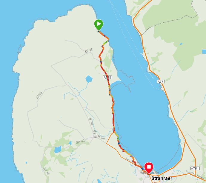
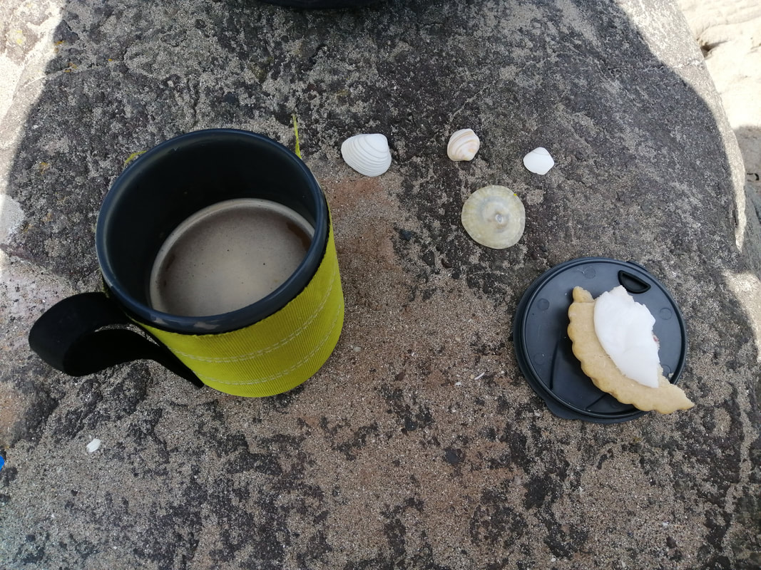
There are two maps above for the reason that my Garmin device closed down the journey when we lingered too long on a coffee break at Lady Bay and I had to start it again when we set off.
There are two maps above for the reason that my Garmin device closed down the journey when we lingered too long on a coffee break at Lady Bay and I had to start it again when we set off.
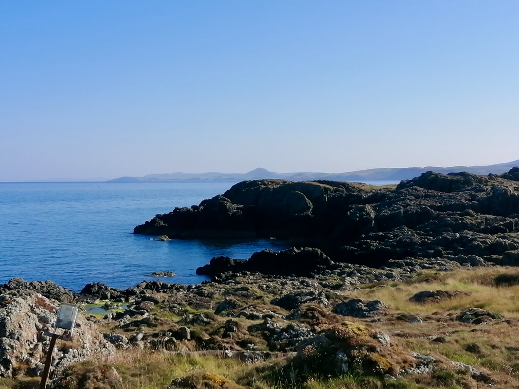
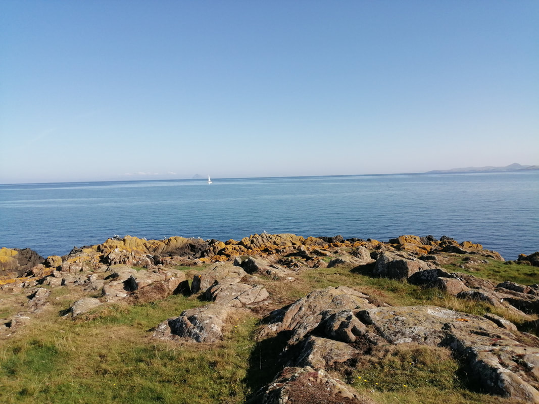
 Ailsa Craig
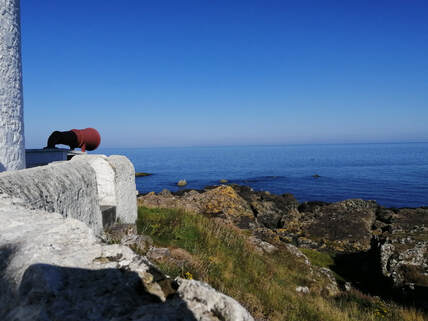
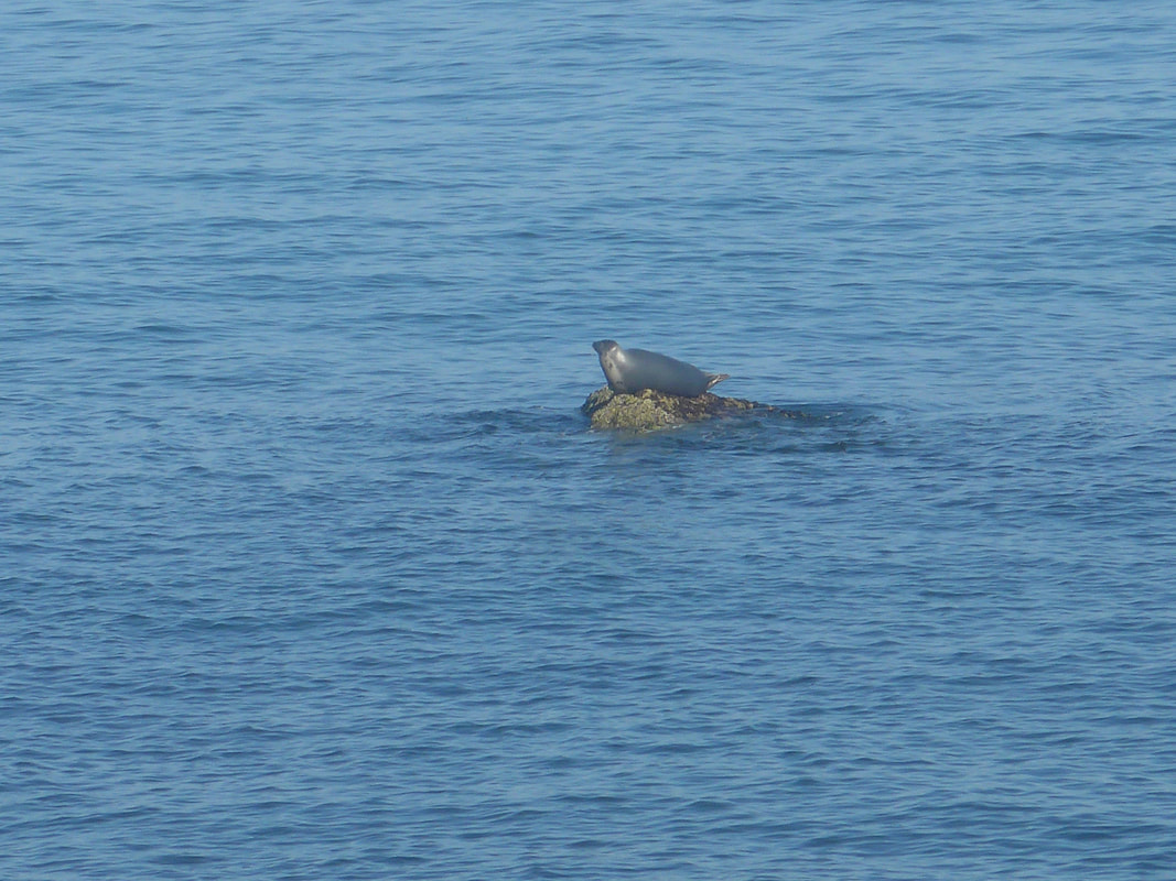
 Leaving the lighthouse after a good breakfast, we stopped to admire the view over the North Channel to Ireland and saw our first seal of the day, one of many. It was floating in the water with just its head resting on a rock. You can just make it out in the photograph above, to the right of the foghorn. As we moved away, it slowly and with some difficulty, drew itself fully out of the water to rest on the top of the rock.
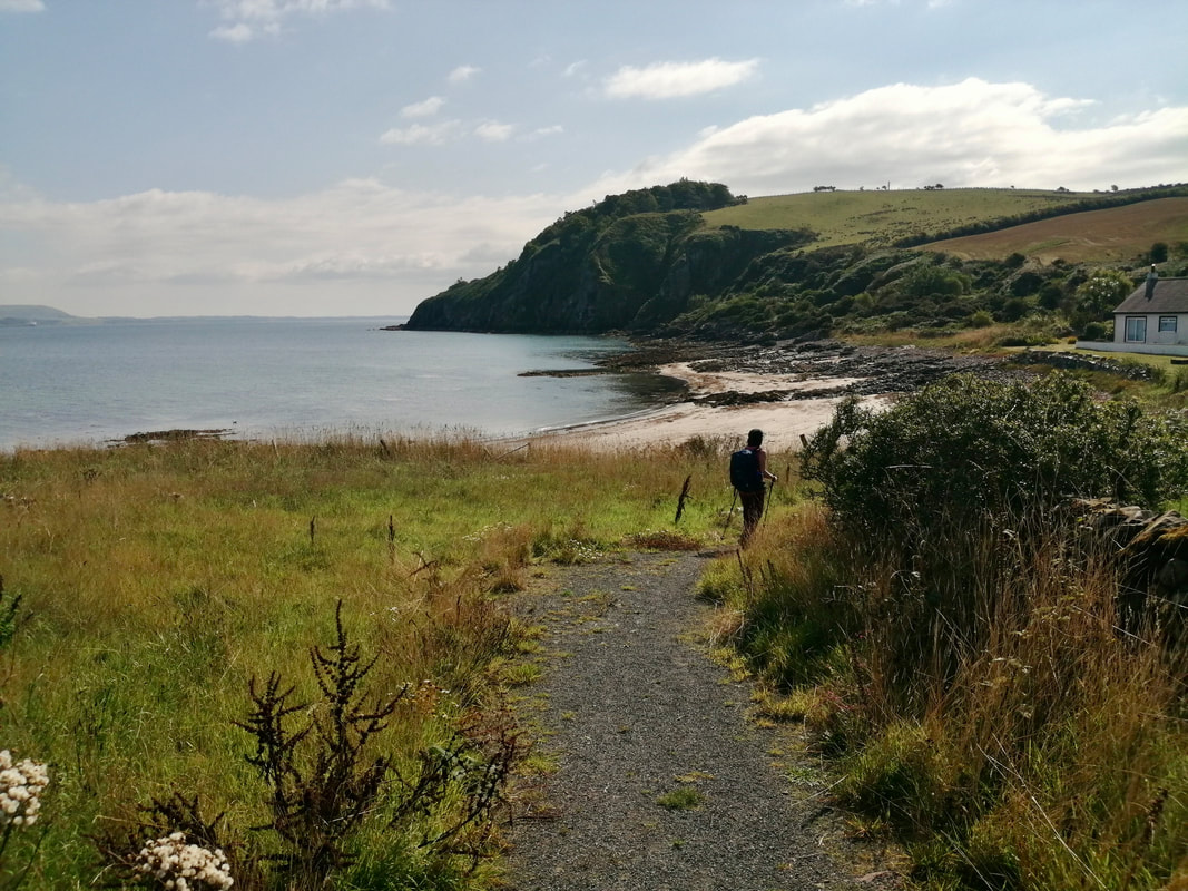
From the foghorn, we set off on the hard path that runs from the lighthouse out towards Port Leen. Avoiding the beach, we took a line to the back of the Port to head out to Milleur Point, at the tip of Loch Ryan. The views the early morning light were gorgeous, the colours bright and vibrant. The Argyll coastline was visible to the north-west, with Ailsa Craig and Arran dominating the foreground. Just before we passed out of close view of the lighthouse the friendly, local seal had made it on to the rock (see below). For almost the whole of this stretch out to Milleur Point, the forlorn cry of seals followed us on the breeze, telling tales of woe about the hard life at sea.
From the foghorn, we set off on the hard path that runs from the lighthouse out towards Port Leen. Avoiding the beach, we took a line to the back of the Port to head out to Milleur Point, at the tip of Loch Ryan. The views the early morning light were gorgeous, the colours bright and vibrant. The Argyll coastline was visible to the north-west, with Ailsa Craig and Arran dominating the foreground. Just before we passed out of close view of the lighthouse the friendly, local seal had made it on to the rock (see below). For almost the whole of this stretch out to Milleur Point, the forlorn cry of seals followed us on the breeze, telling tales of woe about the hard life at sea.
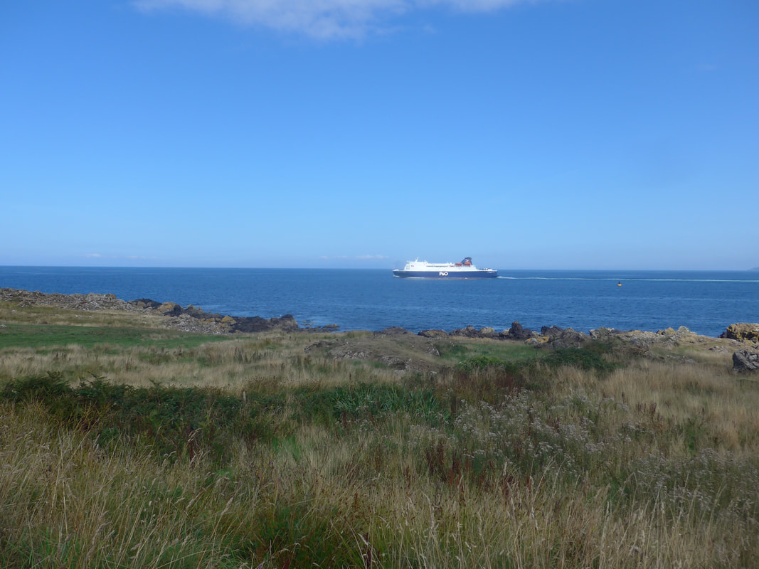
 To the Ayrshire Coast
 The formal footpath from the lighthouse to Port Leen is short but there is a grassy path that continues along back of the rocks for a short time, probably created by the guests from the lighthouse venturing out for a stroll. The grassy path is also short and before long the walking becomes rougher, often on tufted grass, more often clambering over low rocks. It is difficult to keep to the shore at the end of Port Leen and we were forced up the hill to go round what is essentially a large, partial caldera. It was not easy, as we were constantly thwarted from going forward by the thick, impenetrable gorse and its sharp talons. It was not the last time we encountered gorse during the day.
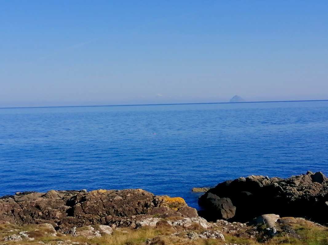
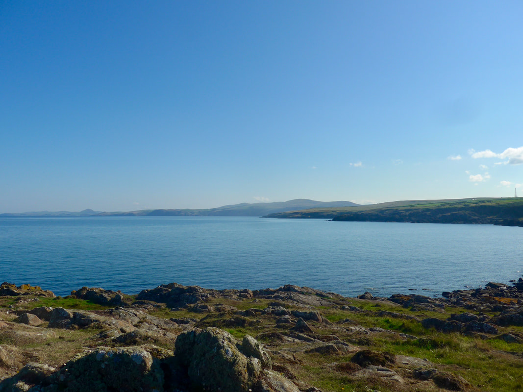
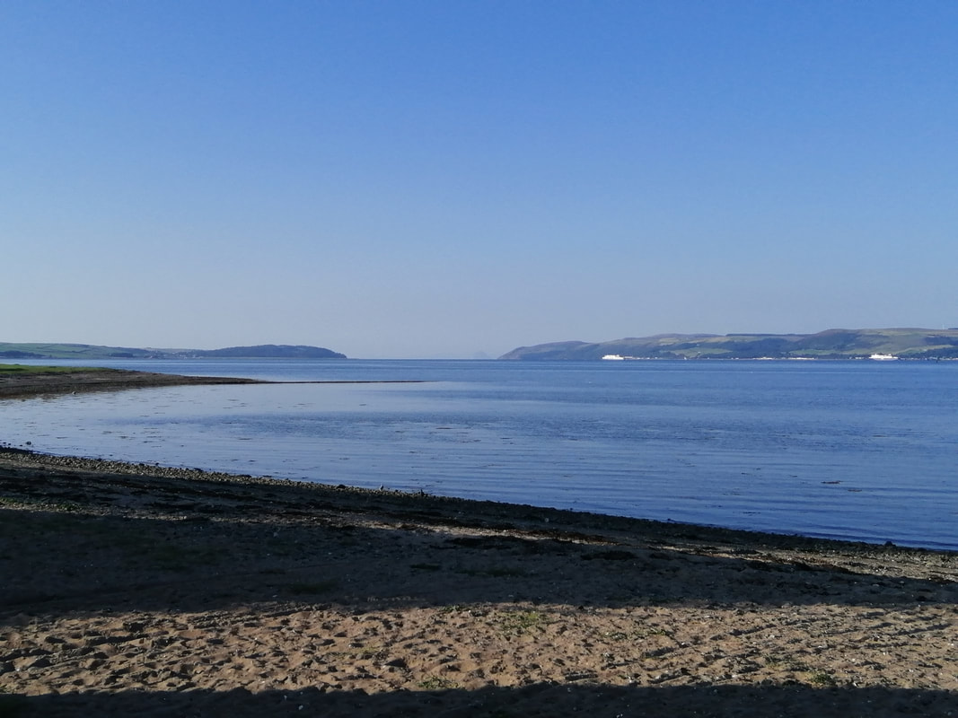
We were blessed by early morning sun that created lovely light conditions. A small, white sailboat, rising and falling on the waves provided food for romantic notions. The perspective forward on this short section is at first perplexing as you see what are the hills above Cairnryan but you are not quite seeing the mouth of the loch running out to sea which would help to locate them. Eventually, the penny drops that you are not still looking at the Rhins of Galloway, but rather the start of the Ayrshire Coastal Path on the other side of Loch Ryan, with the white houses of Ballantrae sitting at the bottom of Mains Hill.
We were blessed by early morning sun that created lovely light conditions. A small, white sailboat, rising and falling on the waves provided food for romantic notions. The perspective forward on this short section is at first perplexing as you see what are the hills above Cairnryan but you are not quite seeing the mouth of the loch running out to sea which would help to locate them. Eventually, the penny drops that you are not still looking at the Rhins of Galloway, but rather the start of the Ayrshire Coastal Path on the other side of Loch Ryan, with the white houses of Ballantrae sitting at the bottom of Mains Hill.
 To Ballantrae
 We continued to hear the haunting song of the seals on the gentle breeze but were prevented from seeing them as a result of our position at the back of the rocks. Occasionally, one would sail by in the sea, but they never stayed on the surface for long.
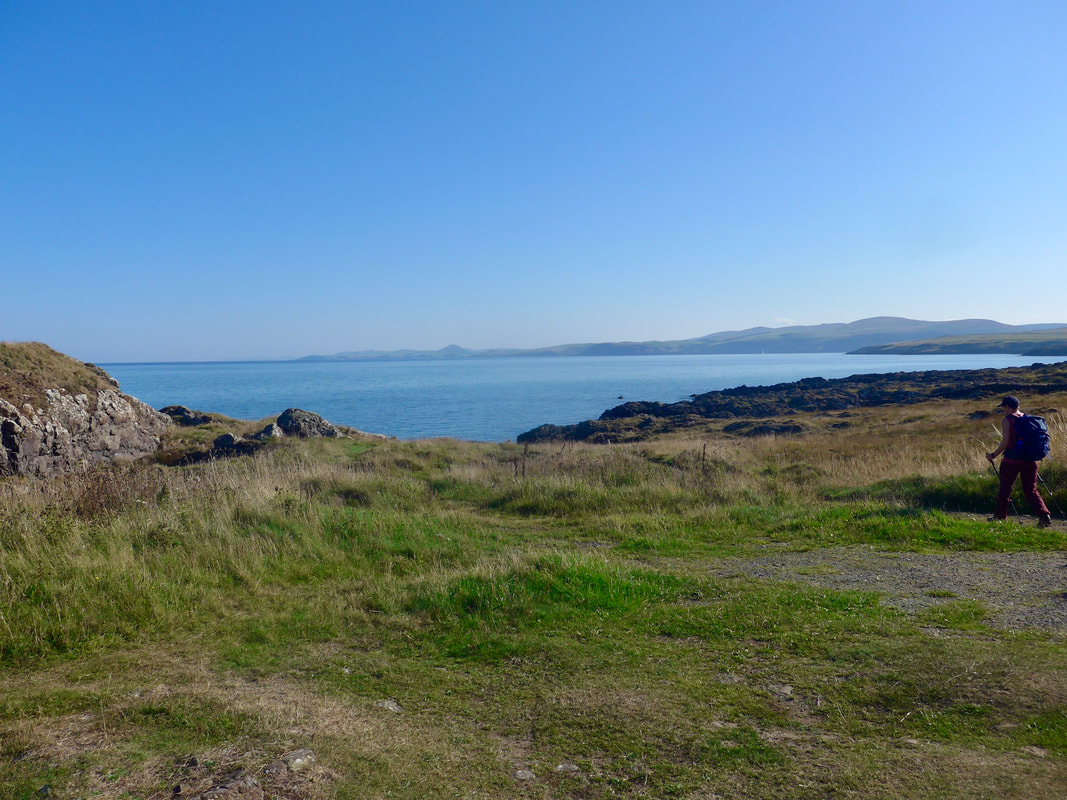
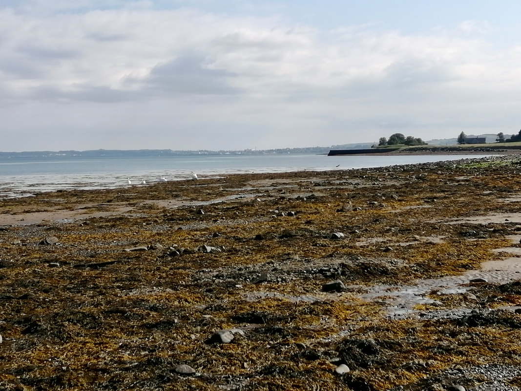
Unlike yesterday, there was some bird life on the rocky shore with Shags and Cormorants roosting on the smaller headlands and, where there was beach to be seen, some of the smaller waders like Ring-necked Plovers were hustling about. Two hours of walking saw us reach Milleur Point at the mouth of Loch Ryan and we stopped to stand and admire the view out over the North Channel as far as the Argyll coast.
Before we reached Milleur Point we bumped into the farmer mentioned earlier, Taz. We were walking along the fence line, I think on Stronach Hill, when we saw a wee vehicle beetling towards us from a farmhouse. Luckily, we were on the seaward side of the fence so felt safe that we were not trespassing. Sheer luck on our part as we were walking on the seaward side because the fields earlier were full of cows. The farmer, with the nickname of Taz, had come to find out what we were about. In our conversation he told us he was carrying broken ribs after one of the cows in the said filed had head butted him when he was inspecting the herd.
As noted earlier, there is disagreement about the right to roam here on account of the matter of damages in the event of injury to walkers. Tax is one of the farmers holding out from signing up to the Rhins of Galloway Coastal Path. As part of our explanation about our coastal walk, we mentioned that friends of ours had farmed some years ago further down the Rhins from where he was. Turned out they were childhood friends and that he had danced at their wedding many years ago. Small world!
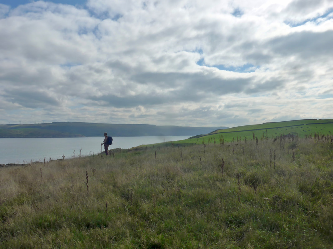
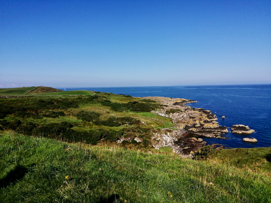
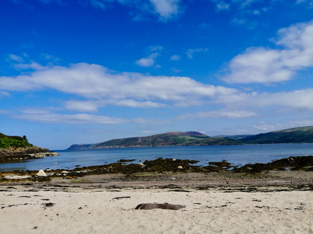
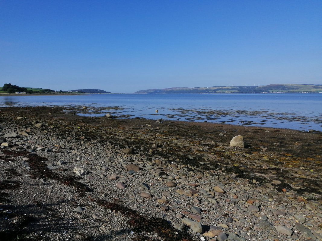
 Loch Ryan
 The sea and sky were bonny blue, while on land the grasslands had a kind of purple hue to them, dying, summer wild flowers, grasses and shrubs slowly sinking back to the earth. Occasionally, there were small stands of gorse in front of us, still with bright yellow blooms on show, that we had to find a way around. There were also numerous fences and dry stanel dykes that we needed to clamber over.
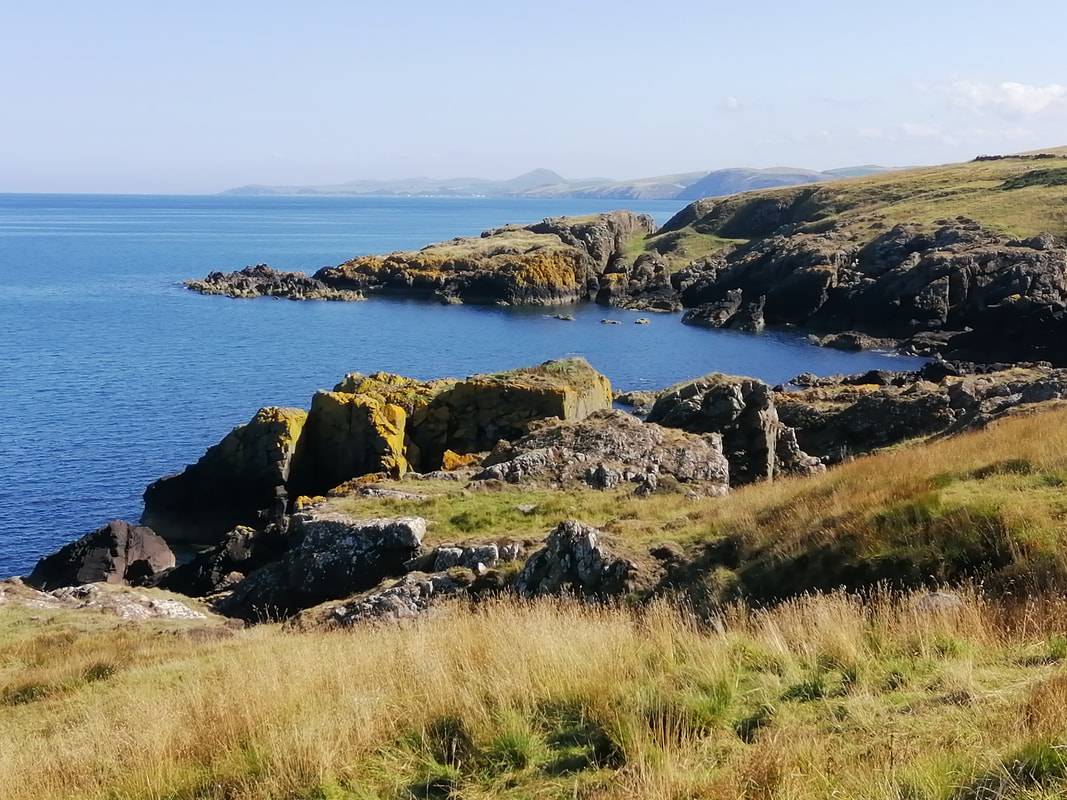
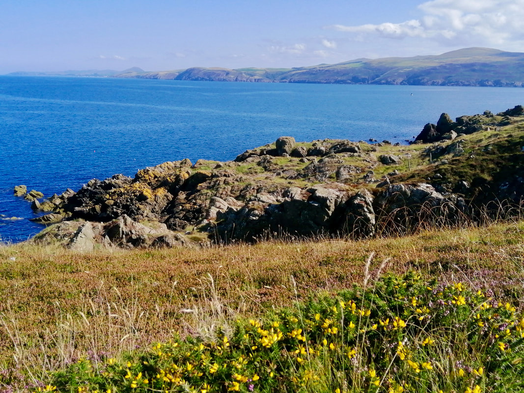
When on the shore, many of the rocks were covered in bright, vivid, yellow verdigris and the air had that tangy, salty taste to it that made you think you were actually eating seaweed, which you could see in abundance at the top of the beaches of the many small coves and bays. Behind us, the lighthouse had slipped back on the horizon, at times lost to sight behind a headland or a low hill feature. Once we turned the corner at Milleur Point it was gone from sight.
When on the shore, many of the rocks were covered in bright, vivid, yellow verdigris and the air had that tangy, salty taste to it that made you think you were actually eating seaweed, which you could see in abundance at the top of the beaches of the many small coves and bays. Behind us, the lighthouse had slipped back on the horizon, at times lost to sight behind a headland or a low hill feature. Once we turned the corner at Milleur Point it was gone from sight.
Loch Ryan
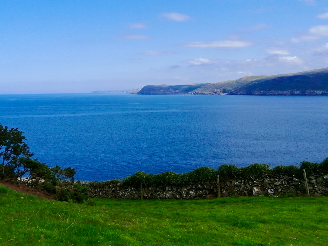
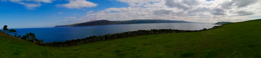
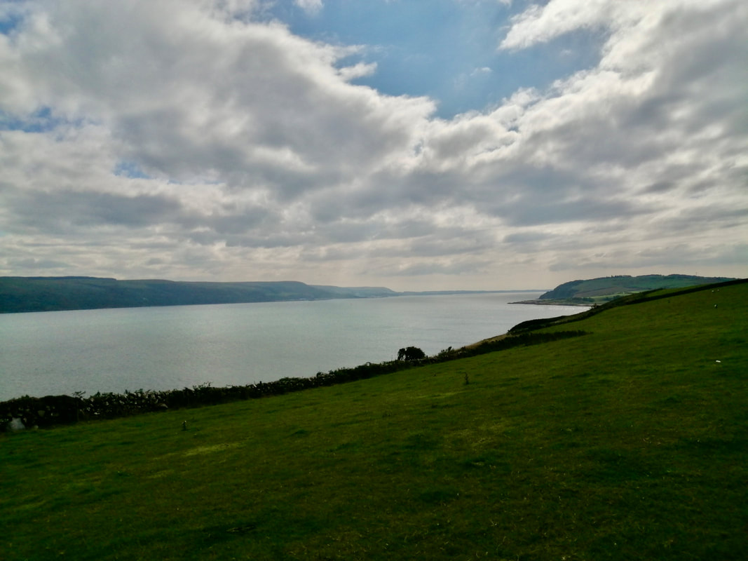
The route remained high coming off Milleur Point and the fences, walls and gorse continued to challenge us. With the thickness of the gorse and the steepness of the hill, we were walking on the 'other side' of the fence (landward). The view up the loch in the midday sun was glorious, as was the view across the loch to the hills above Cairnryan. So far we had been lucky and for the morning's walking had stayed within sight of the coast.
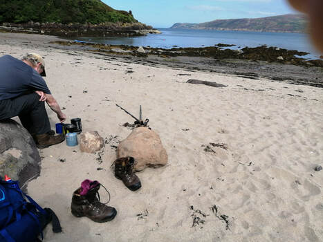
Our luck continued as we moved along the loch side crossing field after field. The route remained high but turned slightly more inland as we approached Broad Port and headed for the small steading of Low Portencalzie. From roughly parallel with Broad Port, the path went downhill to the steading where we took up a track to return us to the shoreline and the delightful Lady Bay. So nice was it here, with a smattering of adults and children on the beach, that we stopped for lunch and lay back on the sand just to enjoy the sunshine.
Our luck continued as we moved along the loch side crossing field after field. The route remained high but turned slightly more inland as we approached Broad Port and headed for the small steading of Low Portencalzie. From roughly parallel with Broad Port, the path went downhill to the steading where we took up a track to return us to the shoreline and the delightful Lady Bay. So nice was it here, with a smattering of adults and children on the beach, that we stopped for lunch and lay back on the sand just to enjoy the sunshine.

Finally taking our leave from Lady Bay, which was long after the Garmin thought we should have left, we were delighted to find a local footpath that ran from Lady Bay to the next sandy beach at Portbeg. Initially it was just beyond the top of the beach, moving ever so slightly inland at Jamieson's Point. Having just had a long stop at Lady Bay we did not linger here, particularly as we could see that there was no way forward on the beach.
Just after Portbeg, the Clachan Heughs headland (almost three hundred feet) juts out over the water. Whether you could go round at low tide I do not know, but there was no way forward for us on an incoming tide. We debated whether or not to try and go over the Heughs and try to find a path through the forest, albeit there is no path uphill, but were deterred by the the herd of cows, thick stands of gorse and what seemed like pretty thick forest on the Heughs. The OS map showed a number of field boundaries as well that would need to be climbed and that also put us off. Tired from yesterday and the rough walking today, we decided to be kind to ourselves, take a route inland and to follow the road as far as Kirkcolm.
Just after Portbeg, the Clachan Heughs headland (almost three hundred feet) juts out over the water. Whether you could go round at low tide I do not know, but there was no way forward for us on an incoming tide. We debated whether or not to try and go over the Heughs and try to find a path through the forest, albeit there is no path uphill, but were deterred by the the herd of cows, thick stands of gorse and what seemed like pretty thick forest on the Heughs. The OS map showed a number of field boundaries as well that would need to be climbed and that also put us off. Tired from yesterday and the rough walking today, we decided to be kind to ourselves, take a route inland and to follow the road as far as Kirkcolm.
 Portbeg & Clachan Heughs
 The road was long and dreary but we cheered ourselves up with the idea that we would have a hot lunch in Kirkcolm. Fat chance! Nothing was open, not even the hotel and there was not a soul to be seen on the streets of the village. We passed on through to take up the shore again at Wig Bay, just beyond Kirkland.
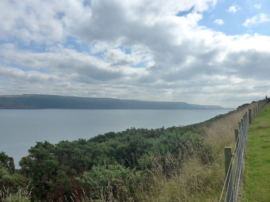
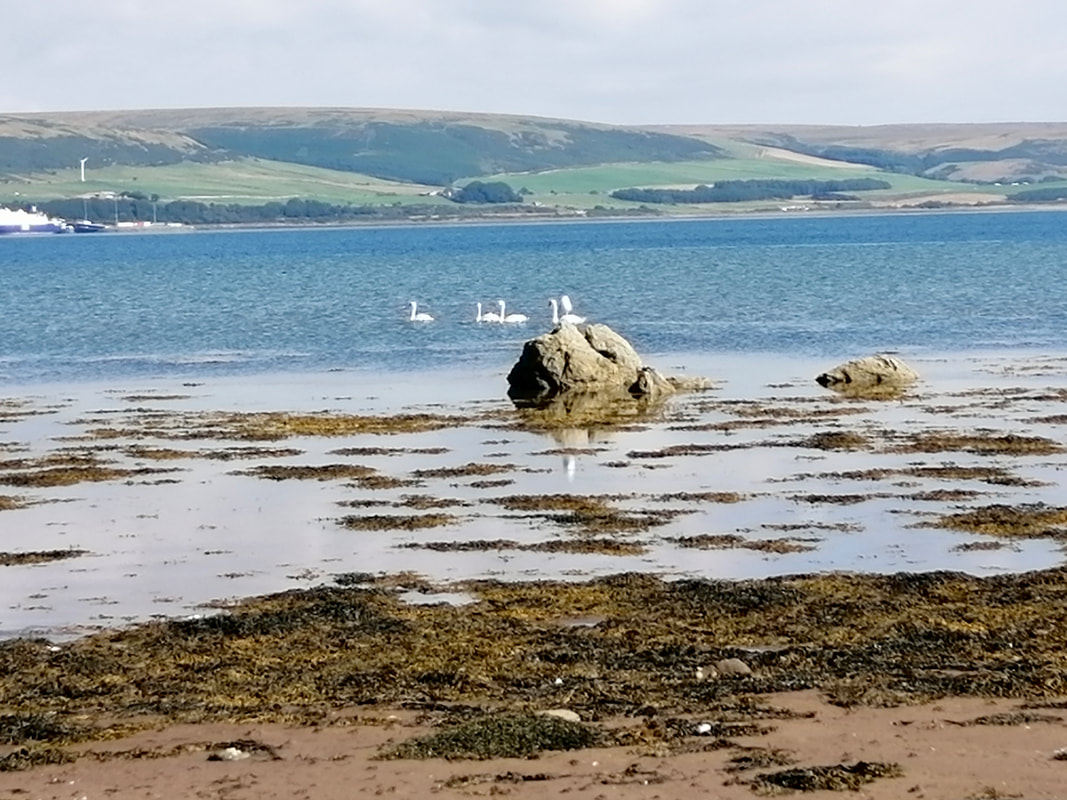
Staying on the shore from Wig Bay to Low Salchrie, the walking was not easy on a rock and gravel beach with lots of slippy seaweed around. We picked our way forward, scanning the ground for the small patches of sand that were easier to walk on. The views on the loch were nice, made nicer by a flotilla of swans moving sedately across the waters.
Staying on the shore from Wig Bay to Low Salchrie, the walking was not easy on a rock and gravel beach with lots of slippy seaweed around. We picked our way forward, scanning the ground for the small patches of sand that were easier to walk on. The views on the loch were nice, made nicer by a flotilla of swans moving sedately across the waters.
 Across Marion Port to Stranraer
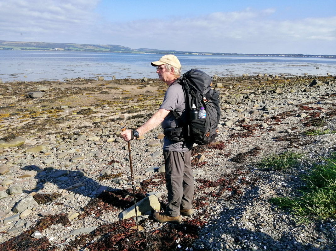
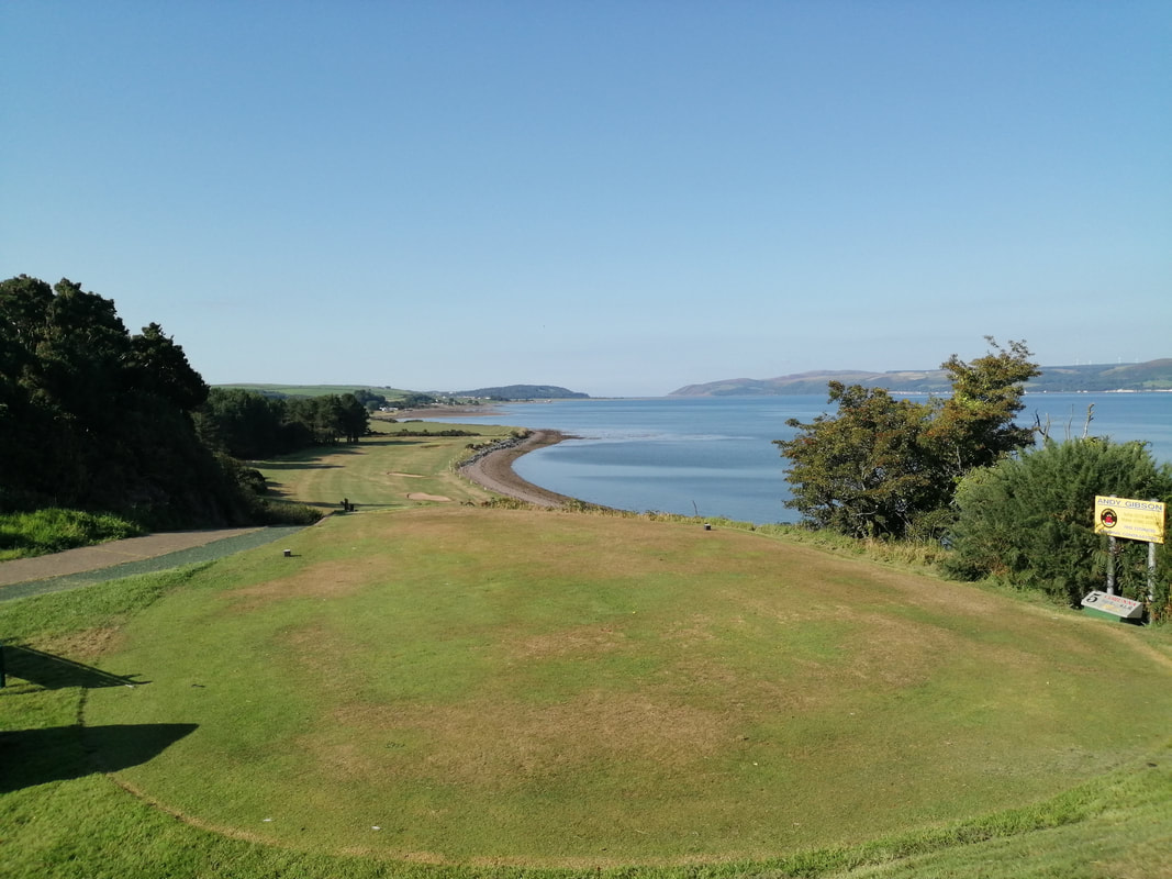
 Back on the road again at St Mary's Croft for a very short distance, tired and weary from the rough walking on the hillside earlier in the day, the last couple of miles were a trachle. We left the road again at Soleburn to move back on to the gravel beach until Hillhead of Craichmore, where we walked on the edge of the Stranraer Golf Course. Exiting the nice grass walking on the golf course (albeit we got slightly lost trying to exit the place), we were back on the beach until we reached the outer suburbs of Stranraer at McCulloch's Point. From there we made our way through the houses and on to the main A718 for the last stretch in to the town of Stranraer.
In all honesty, we were struggling at this point to put one foot in front of the other. It was not so much an arduous day's walking, rather an accumulation over a number of weeks. Dog weary, we stopped for a last time on a bench in Agnew Park for half an hour before coming up with the energy for the last mile. The sight of our car in the car park at Stranraer Harbour near brought tears to my eyes!
In all honesty, we were struggling at this point to put one foot in front of the other. It was not so much an arduous day's walking, rather an accumulation over a number of weeks. Dog weary, we stopped for a last time on a bench in Agnew Park for half an hour before coming up with the energy for the last mile. The sight of our car in the car park at Stranraer Harbour near brought tears to my eyes!
 RSS Feed
