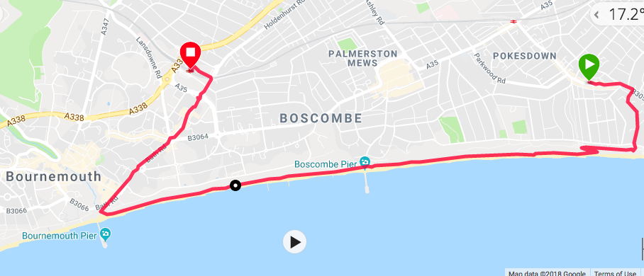
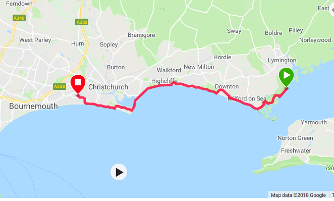
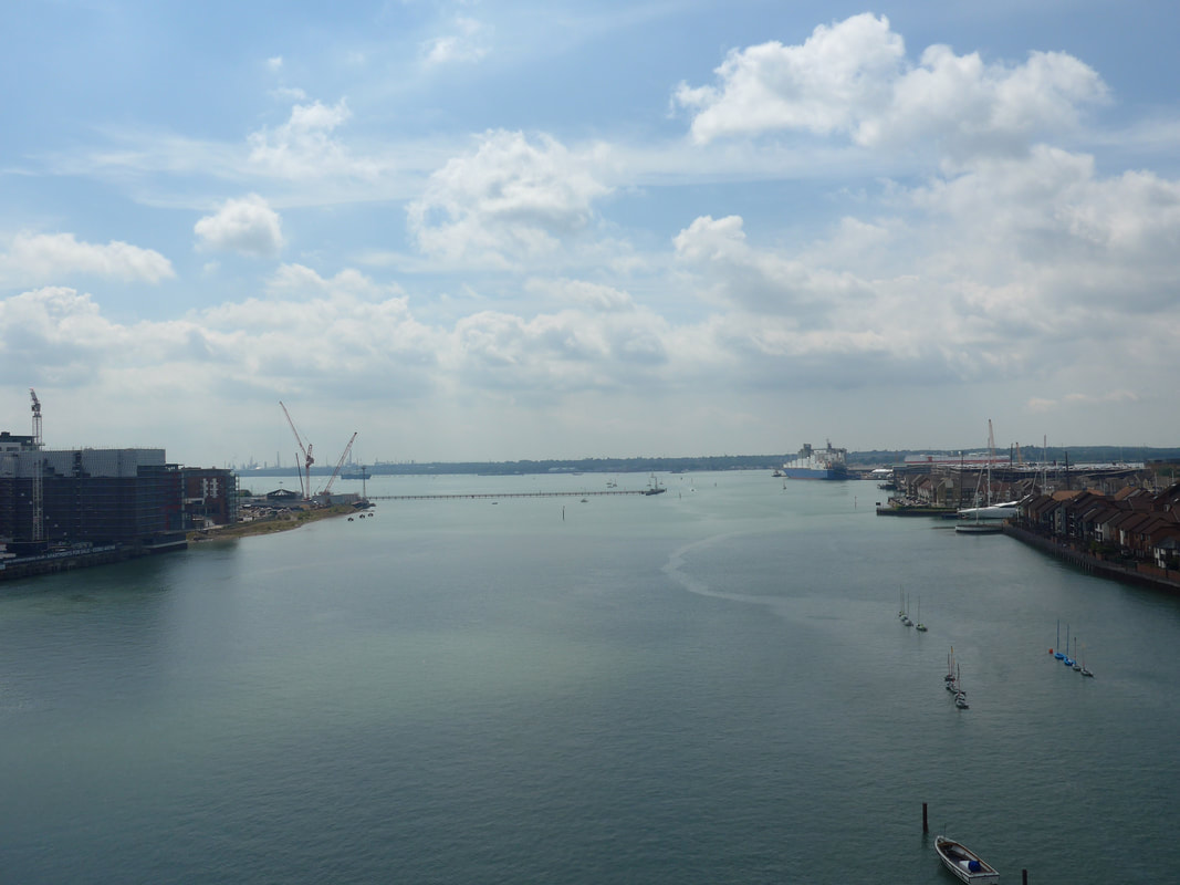
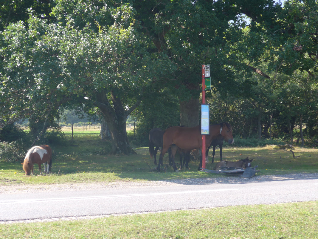
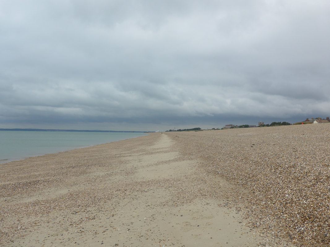
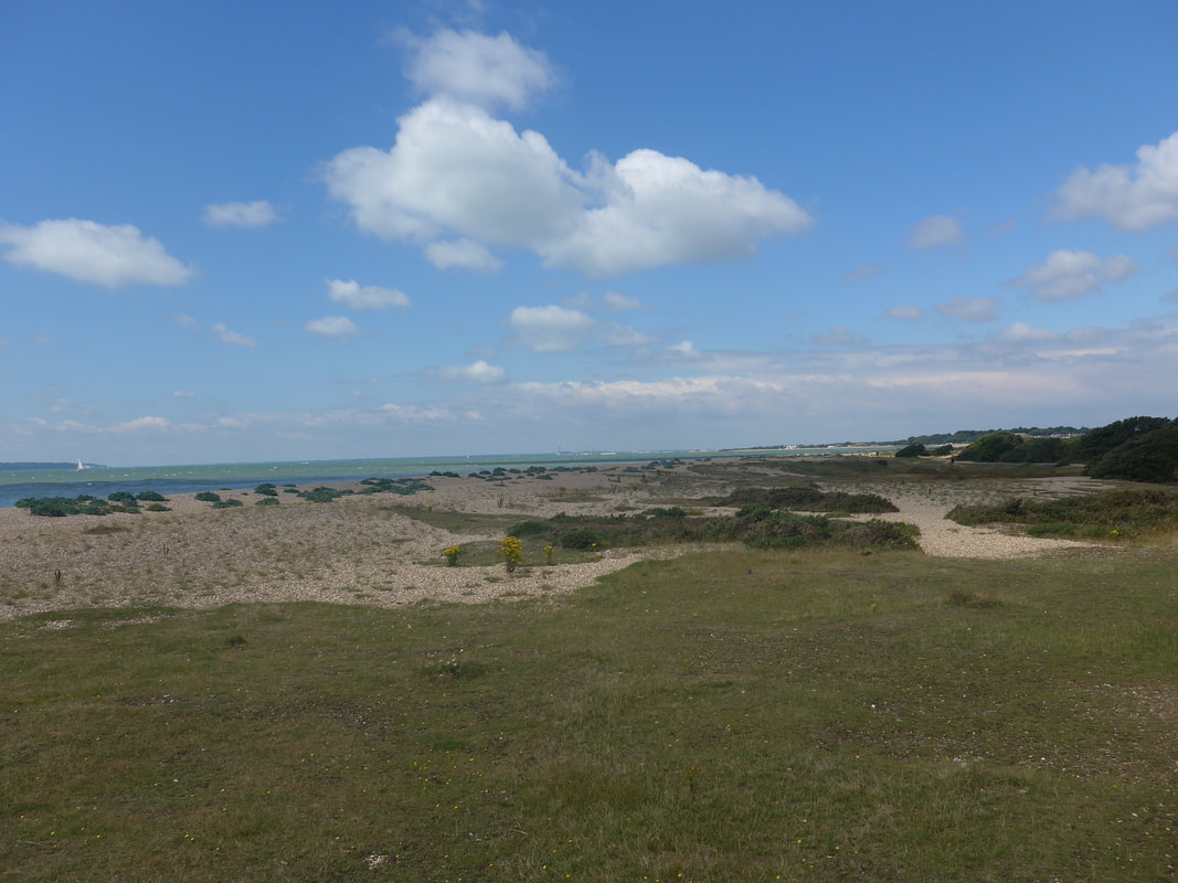
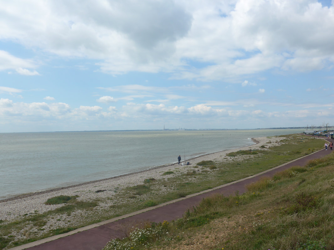
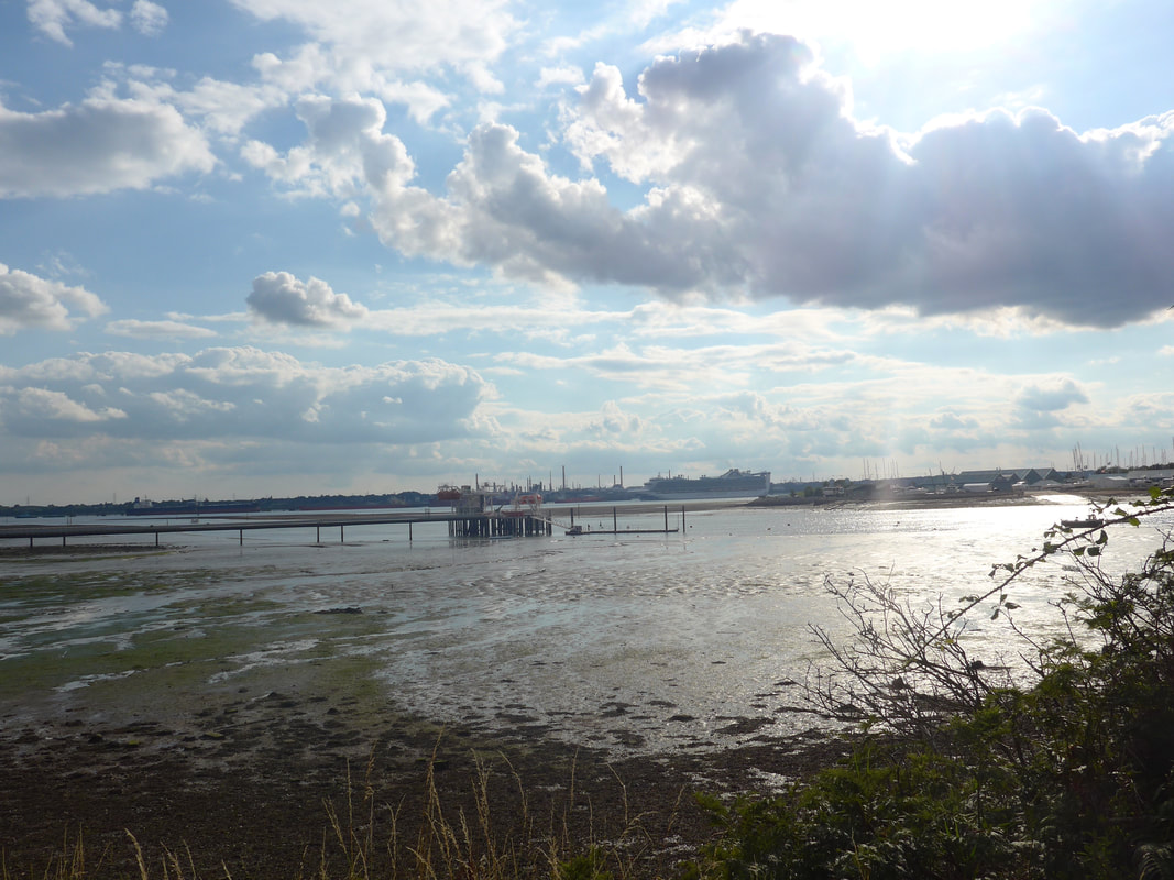
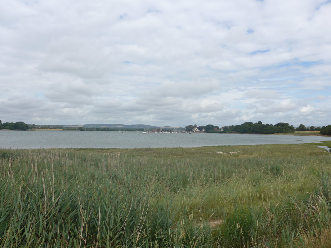
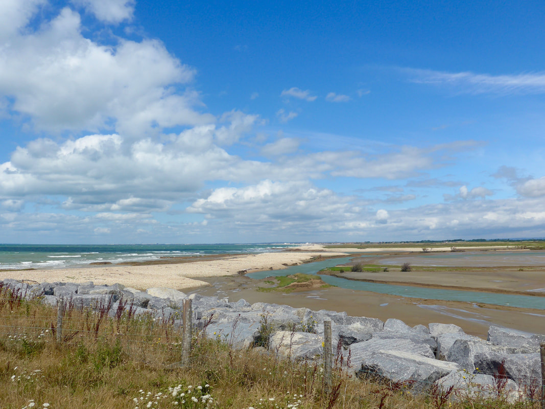
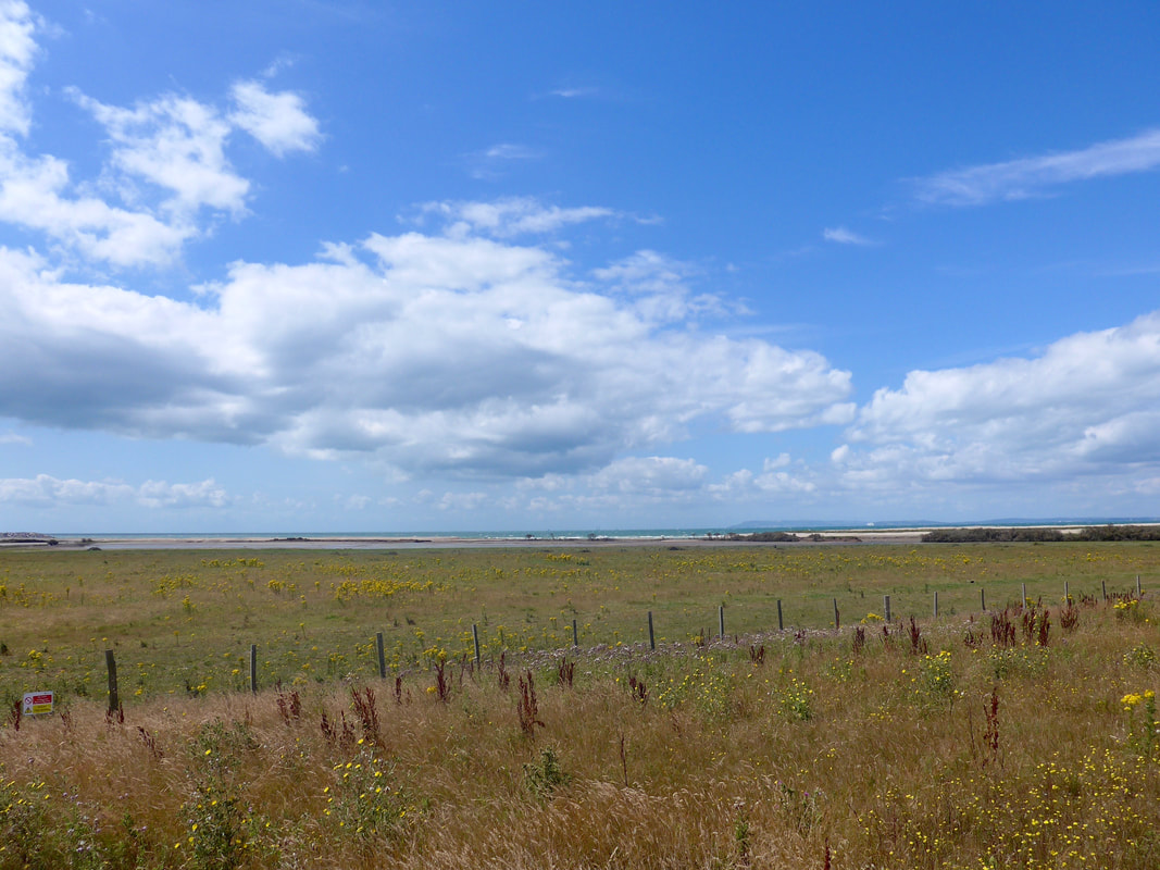
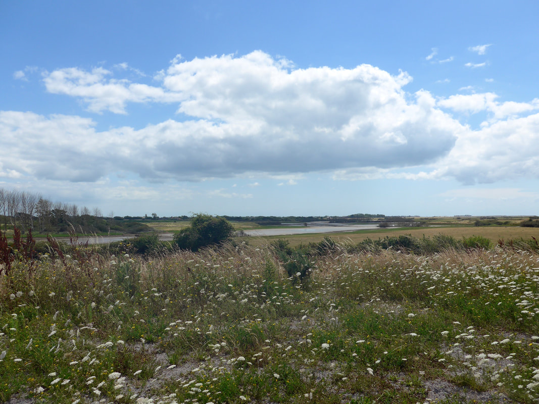
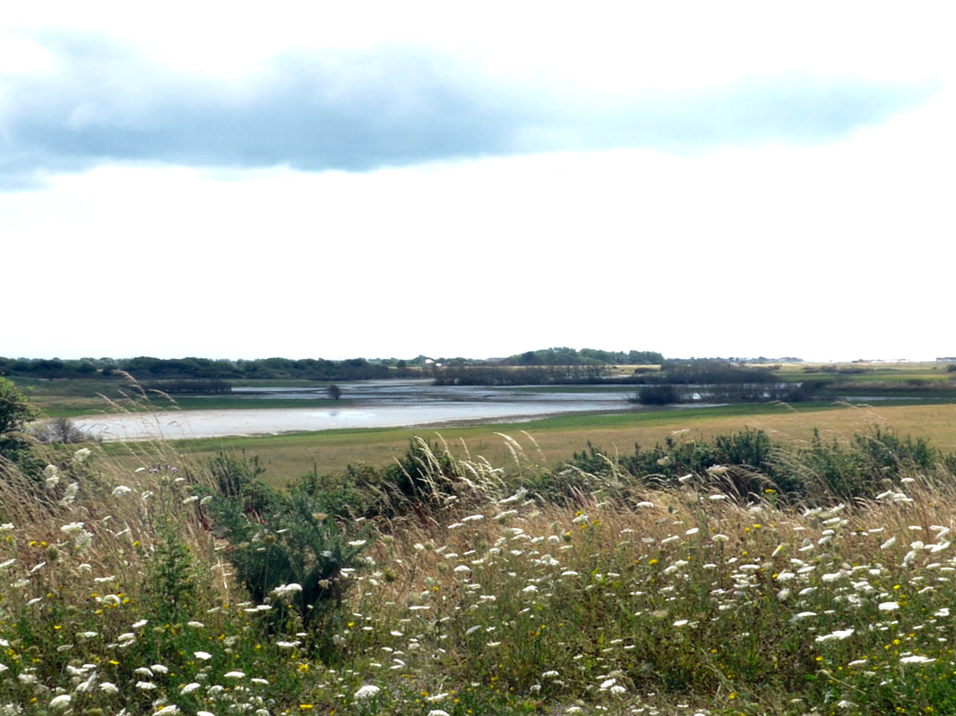
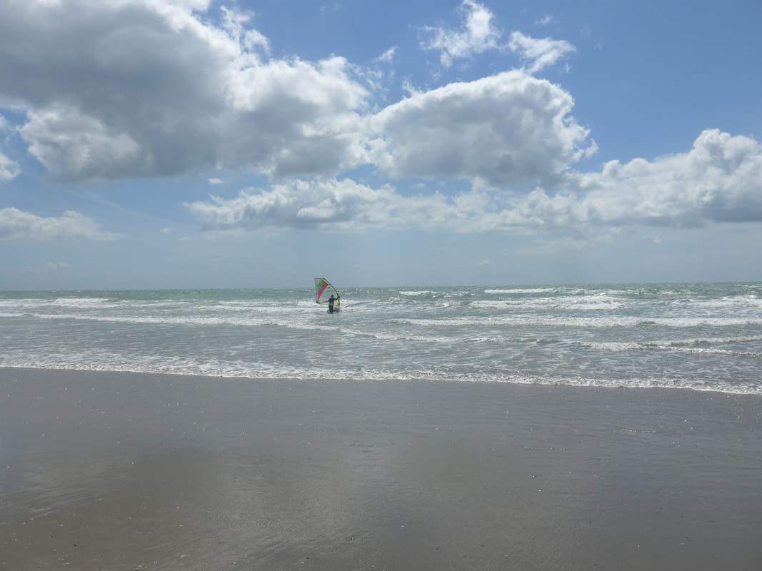
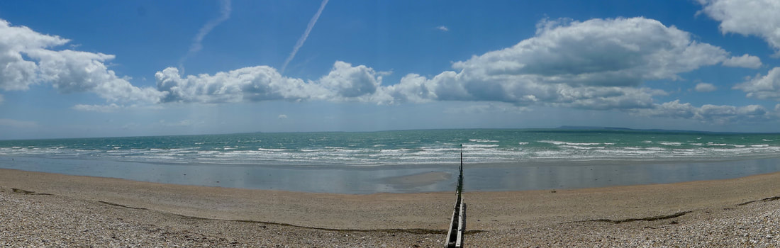
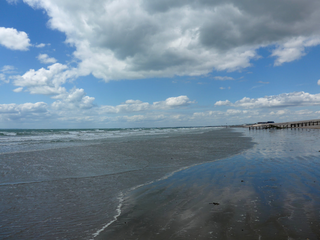
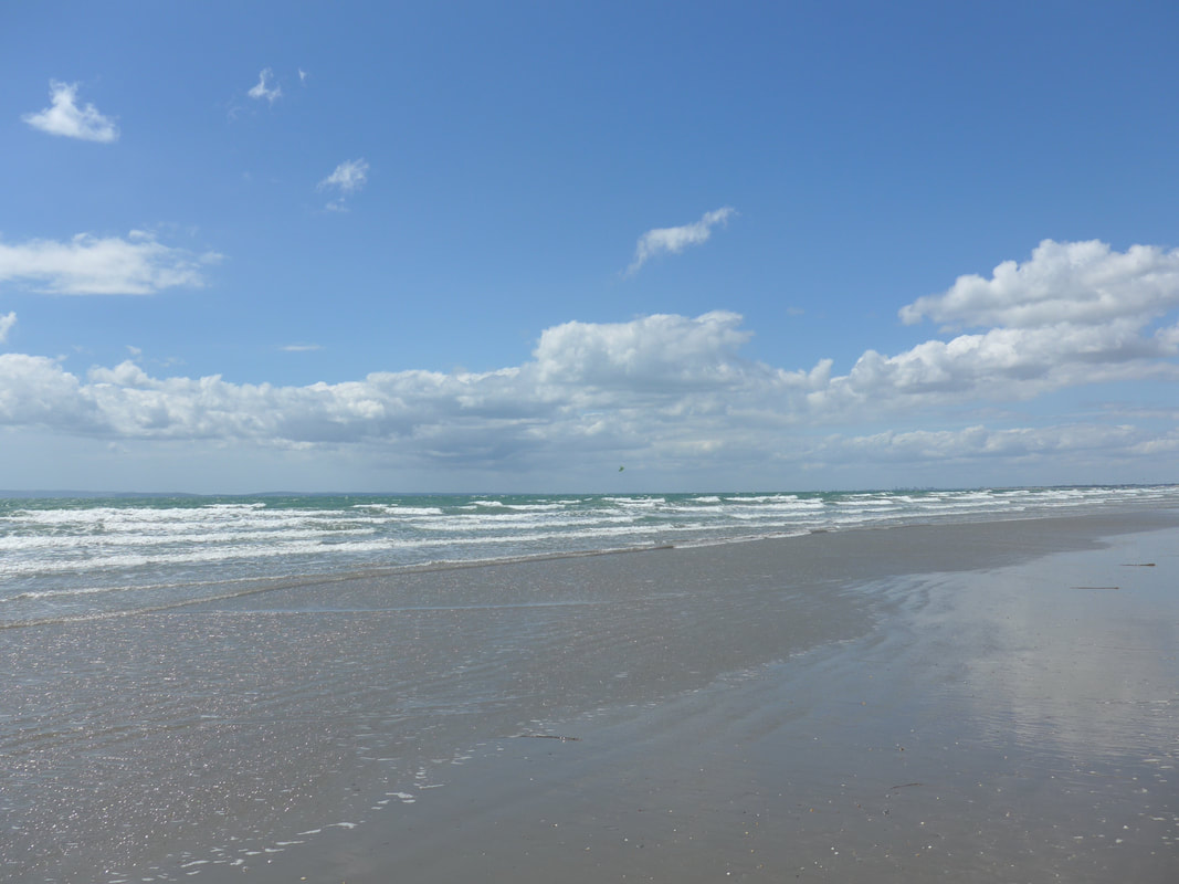
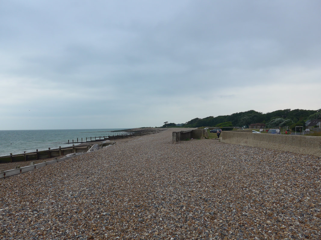
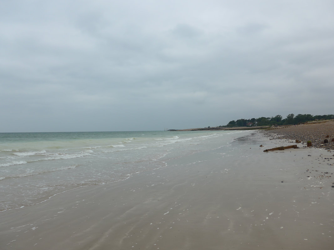
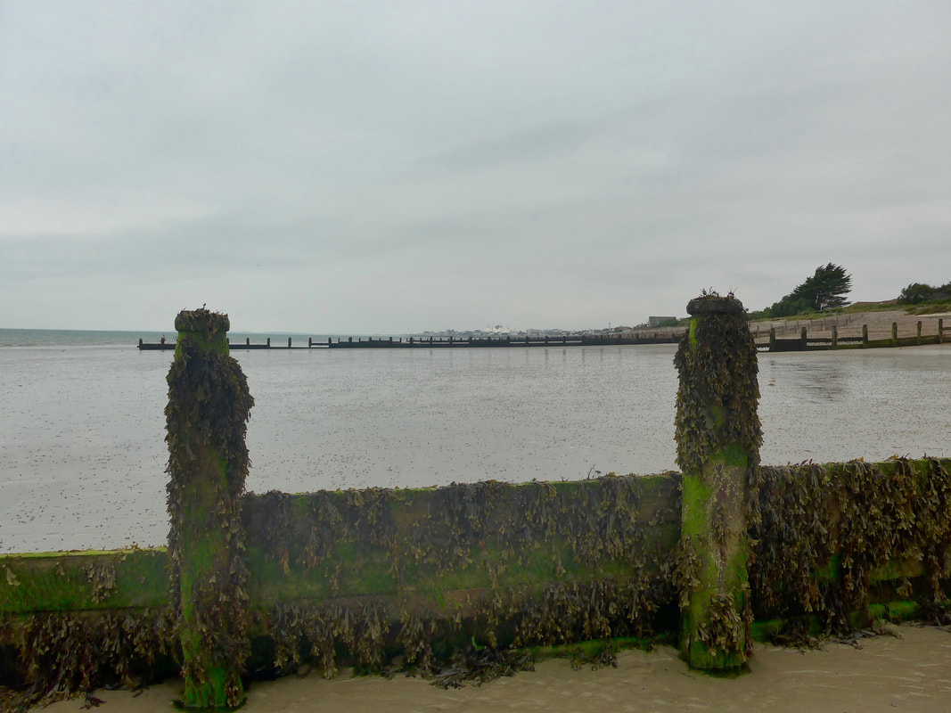
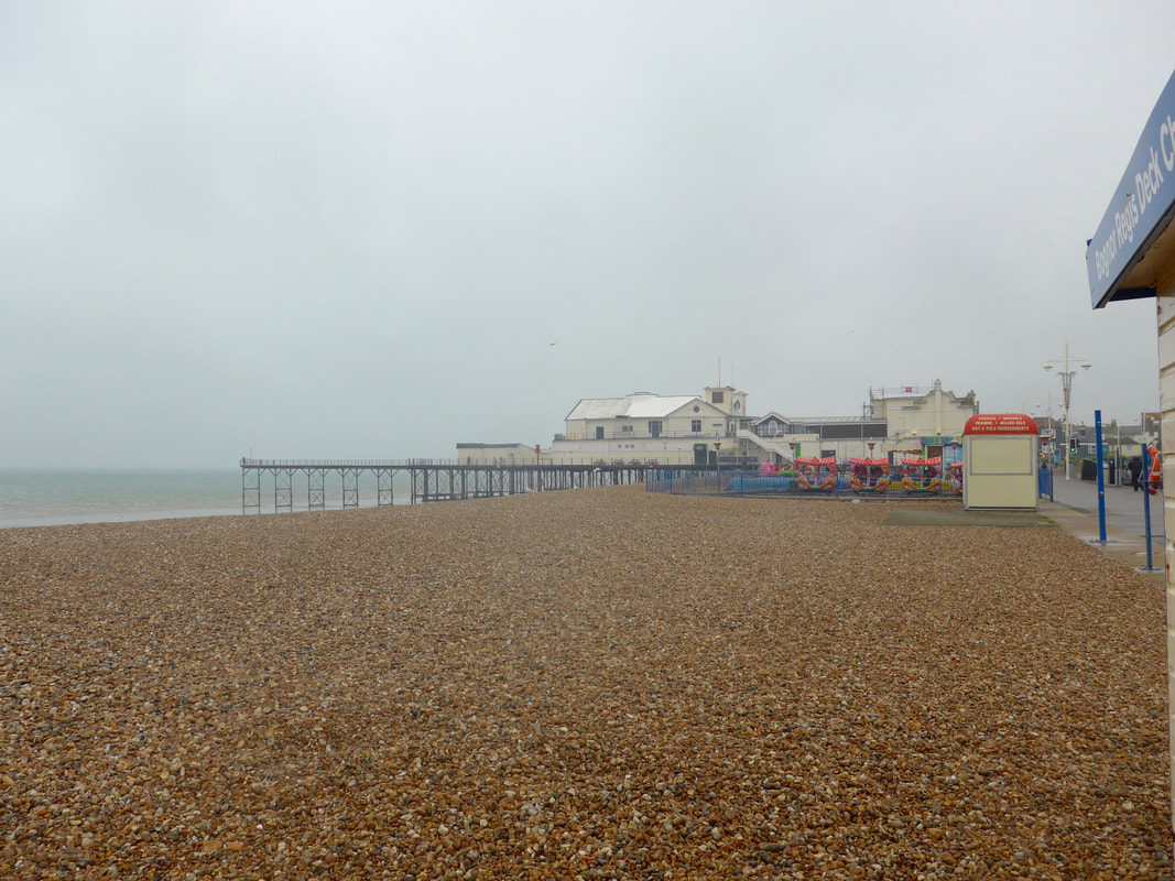
There really is not much to write about this very short walk along the promenade to Bournemouth. I left my accommodation about 9.30am, my departure timed to give me enought time to complete the walk as far as the pier, have a bite to eat, than walk up in to the town to the railway station to start my journey home. It was very uneventful. So uneventful that neither the camera nor the phone camera made it out of the bag, all my equipment packed away for travelling. I walked the whole way below the low cliff, partly on the pedestrian footpath and partly by the water's edge. From leaving Pokesdown to the ralway station was just less than two hours and that included having a bite to eat before catching the train. From Bournemouth I travelled by train back along the south coast to Brighton where I stayed the night with friends, before going by train to London on the Saturday morning and from there by train back home. I remember that I was very tired, not so much from the days walk, or the other walks of this adventure but rather all the miles I had walked this year catching up with me. I knew I was only at home for about a week before I would be back on the trail and I was already questioning the wisdom of that decision. Butpromises are promises and my partner was looking forward to starting in on the South West Coast Path and I have never been a party pooper!
0 Comments
With an expectation that I would walk in the region of nineteen miles today, I wanted to have an early start. Unfortunately, having given in my Garmin GPS device to the office for recharging, I had to sit about until it opened at 09.00. On the plus side it meant I was able to take my time having breakfast (porridge, energy biscuits and coffee, Hannah Kay) and packing up the equipment. It was a fair start to the day weather-wise, with a bit of sunshine and a middlin breeze blowing that helped to dry the groundsheet before packing it away. Such a contrast to yesterday, which had turned out to be a day from hell. Following a mainly coastal route (if I can avoid diversions), I looked forward to a nice day's walking by the sea. Fellow coastal walker, John Coombe, has advised me of two possible obstacles / diversions and I will look out for them but think positively. The journey today goes through Keyhaven, Milford-on-sea, Barton-on-sea and to beyond Christchurch via Hengistbury Head and from there to the suburb of Pokesdown, where I will overnight. The mileage is estimated at nineteen with diversions or less if shortcuts work out. This is the penultimate walk of the adventure with the last walk tomorrow a tiddler of about four to six miles into Bournemouth. With the equipment packed away and the Garmin on my wrist, I was finally able to set off for the mile walk back to the coast. From the campsite, I was on a small, quiet road for a short distance with arable fields on both sides. Just below Pennington House I went back on the track I had followed yesterday and made my way back to where I had left the seawall yesterday. I arrived back on the seawall just beside the Keyhaven and Pennington Marshes Nature Reserve, operated by Hampshire & Isle of Wight Wildlife Trust. The area contains a number of different habitats including mudflats, salt marshes, shingle banks, coastal grazing marshes, and saline lagoons. It is home to a range of bird species as well as rare plants and vertebrates. In addition to the area of shoreline, the reserve contains a number of saline laggoons and pools just inside the seawall and where the level of water is controlled by sluices. Standing on the seawall, looking across the saltmarsh, I enjoyed lovely views up and down the Solent and across to the Isle of Wight, the mast of numerous small sailing craft piercing the sky. Standing on the seawall in the early light and in the quiet of the morning, it struck me that visiting the seaside as a child was a much more hedonistic experience than this one; more about doing, impacting on the environment and maybe less aware of the environment itself. Standing on the coast this morning as an adult, it is much more a sensory experience; an immersing, standing still and a taking in; less movement and more silent appreciation. Hearing the sound of the wind, the sea and the cry of the gull; the smell and feel of the breeze as it moved across the saltmarsh and brushed my arms, the sun on my face; the aroma of seaweed and the tangy salt air. There is a catch in your throat as the wind catches the detritus left behind by the tide, or turn slightly and the scent of spring flowers in a vegetated area of shingle hugs you. All this and the early morning light, bright like a diamond on the surface of the Solent and you forget yesterday, being wet, tired or hungry. Apart from a single dog walker and a family in the distance on the shingle beach, the walk along the seawall to Keyhaven was a solitary affair. Even the dog walker was wrapped up in the solitude of the morning, passing close by me without making eye contact. Once upon a time this would have been a busy shoreline with people bustling about engaged in the art of making salt. On the landward side of my walk there was a plethora of small pools and rills running right down to the turn for Keyhaven. From the early years of the 11th C until the middle years of the 19th C, there was a line of salthouses along this five-mile section of coast as far the Hurst Spit. This was in the day before mineral salts were produced in abundance and in hundreds of seaside locations around the coast of Great Britain huge saltpans dominated the coastal regions. Salt water was allowed to reduce in shallow pools in the summer sun before being piped to large salt pans where it was further reduced on brisk fires to finally produce salt that would be shovelled out and stored in baskets. The air quality must have been pretty poor as a consequence with both the fires required to reduce the water and the brine in the air as it reduced polluting the area. Walking along by Pennington Marshes I had great views across the Solent to Yarmouth and and Sconce Point on the Isle of Wight and I could clearly see the sweep of Hurst Spit as it stretched and reached out from the mainland trying to poke Wight in the eye. Here Hurst Spit and Sconce essentially create the mouth of the Solent. Hurst Castle was just visible at the end of the Spit as an amorphous grey shapewith no great detail visible. While there is a path out to the castle and back along the shingle spit, I have a 'thing' about walking out or up only to repeat the walk back by the same path, so I declined the opportunity to visit the castle. With the possibility of already walking nineteen miles today, I saw no advantage to walking an additional three miles. Built in 1544, Hurst Castle is another of the many castles built by Henry VIII to defend his kingdom, primarily from French invasion and I have seen many of them firsthand as I have rounded the south coast. The castle was also used to house Charles I before his trial and subsequent execution and also played a role in Napoleonic and subsequent wars, including Worl War II. It is now in the ownership of English Heritage. Less than a mile at its tip from the coast of the Isle of Wight, the views from the top of the castle are said to be stunning. But that was for another day. From Pennington Marshes to Keyhaven Marshes and then turn right to go round a small inlet, approaching the small village of Keyhaven. From the seawall I could see across the inlet and admired all the small craft anchored there in the pretty little harbour. It added to the soundscape of the day with the break of the waves against the hulls, the creak of the mooring ropes and the rattle of metalled sail stays striking upright masts. There was little in the village of Keyhaven to hold me; too early for lunch and too late for a second breakfast. So I just kept going, back on to the Solent Way, out towards the start of the Hurst Spit where I turned right heading towards the town of Milford-on-Sea. From here on in I had glorious views around Christchurch Bay. From my vantage point approaching New Lane, just below Milford-on-Sea, I had a good view over the town with the church tower in the far distance. Sticking rigidly to the promenade in the town I could see that it was very busy, lots of people and with the very large car parks just off the beach filled to overflowing and with cars waiting out on the main road to get in. Half way along I stopped at a beachside cafe where I had a quick snack lunch and tea before moving on fairly swiftly. When you have enjoyed walks of great solitude and introspection in the peace and quiet of the countryside, the last thing you want or need is the nation at play on the beaches. The noise and smells, the jostling crowds can make it feel like you are being assaulted and I am seldom tempted to linger in the towns and villages on my travels. Leaving Milford-on-Sea behind, I climbed to the top of the low Hordle Cliffs where I expected to meet the first hurdle of the day, a diversion on the path because of a landslip. For some time the route along the clifftop has been closed off, with only a difficult and potentially dangerous route on the busy B3058 road going out the town the alternative. The official advice is that there is no alternative route but as I do not use transport the road was the only other option for me. I had been hoping that whatever the problem was that had closed the path, it would be resolved by the time I arrived but no such luck. As I came to the top of the hill there were still barriers across the path and just beyond I could see a group of workmen who advised me the route was still closed. Nothing for it but to set off on the road and see how I would fare. It was fine at first, with a good footpath on the right-hand side of the road. But once this run out it became a dangerous game of dodgems with the cars speeding round corners, and there werea lot of corners, with no thought that there might be pedestrians on the road. Despite my trying to be safe about it; taking up a position on the left for right hand corners and vice-versa, it was just too dangerous to continue and at the first opportunity, just after Hordle Farm, I left the road and started to try and make my way back to the cliff again. Whatever the problem on the cliff, it could not be as dangerous as walking on that road. Once back on the cliff, I was surprised to see dog walkers coming from the Barton-on-Sea direction without a care in the world. On speaking to a couple of them they advised me that local people just ignored the closure notices and kept walking the cliff. I followed their example. Walking with the sea on my left and, for a large part of this section, Barton-on-Sea Golf Club on my right, I enjoyed a slow meander in the bright sunshine with just a slight breeze blowing in from the sea. From the Hordle Cliffs to Hoburne Holiday Park on Barton Cliff where the next potential hurdle lay, was a distance of about four kilometres and I enjoyed meandering along, enjoying the view from on high. Fellow walker John Combe had advised me that rather than take the official route at this junction which goes round the holiday park, I should just walk straight on through the camp, thereby avoiding another lengthy detour. On my coastal walk so far I have been warned off a couple of sites by security guards so was a little apprehensive. However, tagging on to an older couple in the grounds of the park, I was able to walk through the place unmolested to exit on to the beach just below the cliffs. Any guards we passed the couple just nodded to them or passed the time of day and I just did the same. From the beach below the caravan park I was able to pick up the route again and continue the walk round Christchurch Bay in warm sunshine. As I walked the bay I began to feel the exertions of the last few days, particularly in the heat of the afternoon and I began to wilt. It is a well known fact that I am not good in heat and quickly become tired. The last part of my journey round Christchurch Bay was completed in a bit of a dwam and I was not really as present as I could have been. High Cliff and Friar's Cliff passed me by without any great awareness on my part. Passing along the front of Christchurch with its large holiday park and thronging crowds was enough to make me pick up the pace to get away from them, but I was paying little attention to my surroundings. Arriving just after 3.00pm at Mudeford where I was to catch a ferry for a five minute crossing to Hengistbury Head, I just missed one ferry and had to wait for the next. Sitting on the pier, I found a shady nook in which to hide from the sun and from which I could enjoy the views across Christchurch Harbour. The ferry journey was over before I even had time to take the rucksack off, dropping off directly on to the sands of Mudeford Spit. From the sands, I passed the colourful beach huts that line the shore here and made my way down the spit to enter the Hengistbury Head Nature Reserve, which eventually leads out on to the mainland. At the top of Hengistbury Head the path splits in to; the inside edge going down Christchurch Harbour, the outside on the coast, overlooking Bournemouth Bay. Having walked on the coast for most of the day, I decided to take the inside route which passed through the nature reserve and where I enjoyed some lovely views overland and through to the harbour. Once beyond the nature reserve, rather than walk on the road that leads in to the outskirts of Bournemough, I cut across a green space to go back on the coast again. There was some kind of event on and I was able to purchase coffee and cake at a stall and to sit in the shade while I gathered the energy for the last few miles through the built up area. From the edge of the nature reserve to my accommodation for the night at Pokesdown was about two miles and I walked most of it on the promendae just above the beach, before turning in to the town itself and walkin up to the district of Pokesdown. It had been a long day, but not as long as I expected with a few miles saved by avoiding the full length of the first detour and not taking the second detour at all. I was relieved to find that the Airbnb I was staying in was of a really good quality with a large-sized double room and equally large bed. After showering and then spending some time working my way through the various coffees and biscuits on offer, I succumbed to the temptations of the sleep fairies and enjoyed an early evening nap. Later, I went out to buy fish and chips, which I ate in the kitchen of the establishment with lashings of tea and where I enjoyed conversation with a young French girl who was over on an English language course. Later, lying in bed, I had some time to review my walks over the last ten days or so and to feel some sense of achievement that I had completed these walks so soon after my long Essex adventure. There is life in the old dog yet!
At 19.10 precisely last night my barbecued meal was delivered to my tent. Such joy! After a day walking in blistering heat, it was nice to be able to rest in the tent when I arrived rather than set about preparing a meal. Fortunately, the camp managers here operate a wee barbecue service that I was quite happy to take advantage of and damn the cost. Rain was forecast for about 7.00am, so I set the internal alarm for six to try and have the tent and equipment packed up before it came. What with delaying over the coffee and speaking to other early morning campers, I was just caught out by it and with a long day ahead had no time to wait for the tent to dry properly. Consequence is that it will still be damp tonight when I pitch. Hopefully, it will not be raining by then and I can dry it off properly before bedding down for the night. As I was leaving the camp, the manager and his wife invited me in to the office for a cup of coffee, an offer I accepted to be polite but it delayed me at least another half hour and by then the rain had set in. The rain was so heavy it was not a day to have the camera out, so I'm sorry that, apart from one photograph early on, there is no pictorial record of today's walk. You may remember that yesterday I was forced to go inland to go round rivers, docks and the industrial area to the south of Hythe. The route today continues about a mile inland to avoid a new set of water features, mainly small rivers, lakes and ponds to the west of the Beaulieu River, before I am pushed in even further later in the day to cross the Lymington River. It will only be for a short period in the afternoon that I am actually walking on the coast before I turn inland again to my next campsite at Lower Pennington. After yesterday's torture of walking up the main road to reach the campsite, I was pleased to find out that there was a field path that would take me back in to the village, where I could then take up a path going down the Beaulieu River. With persistent rain I was relieved to find out that for this stretch I would have some cover from the trees of the Keeping and Burnt Oak Copses. Walking through the trees I was still subject to the rain, but at least the trees and shrubs protected me from the strong wind that had been driving the rain as I walked down the fields from the campsite. Exiting from the Burnt Oak Copse, I crossed Keeping Marsh to enter the village of Buckler's Hard, which was a unique ship building village in the 18th C. Here, three ships (including the ship Agamemnon) were built for Nelson's fleet and they subsequently fought in the Battle of Trafalgar. Leaving Buckler's Hard behind, a difficult, very wet and blowy walk lay in front of me as I set off on a long cross-country section on a series of back roads. It was a difficult section with the wind blowing directly in to my face and body, driving the rain through my clothes so that, even with a full set of good waterproofs, I was soon soaked through to the bone. At one point, I actually stopped and sat at the side of the road to pour the water out of my boots and to wring out my socks. Almost seven miles in length, this section seemed to go on forever and by the end I was desperate to have a break from the wind and the cold. Unfortunately, there were no villages or even hamlets on the route, so I had no option but to continue walking until I reached a golf course at Walhampton which had a small cafe. The lady working in the shop was very kind and allowed me to hang up some of my clothes for the hour I was in there and kept me well supplied with tea and toasted sandwiches. Leaving the golf course, in the rain, I had a short section running parallel to and gpoing up the Lymington River, before crossing at a bridge in the town centre. The river was packed with small boats and other sailing craft and the town centre was very busy. Having just eaten, I had no reason to stop and no inclination to, given the vrowds, so carried on through following the river back down for a stretch. Down through the town, round the marina and soon I was on the coast and the seawall for the first time in nearly two days. Walking on the seawall for a couple of miles, the bad weather continued and there was still a cold wind driving the rain. I was literally dripping and squelching with every step. By now I was feeling very sorry for myself and cursing everybody I could think of who had ever encouraged me to take up this adventure. Just after the Salterns, I swung round a little headland before starting to move inland to my campsite at Lower Pennington. Fortunately, it was a well equipped campsite with showers, loos and a laundry section, where I was able to dry off my clothes. I pitched at the back of the site where I could get some shelter from the prevailing wind and headed for the showers, where I spent a considerable time under the hot water trying to warm up. The camp office recharged my Garmin device and while my clothes dried I recharged my phone in the laundry room, both devices I use in one way or another for navigation.
Dried off and with some semblance of sanity returned, I cooked up a meal in the porch of the tent that I enjoyed sitting in the tent and looking out at the rain. After clearing up, I spent the remainder of the night wrapped up in my sleeping bag, still trying to get warm and trying hard not to think of what the weather will be like tomorrow. Amazing what a nights' sleep does for you! Despite the fact I had walked twenty miles yesterday and there was no breakfast in my accommodation, I was feeling good and ready for walking. Today's walk saw me cross the River Hamble by ferry to make my way up Southampton Water to turn in to the River Itchen. After crossing the River Itchen by bridge, I cross Southampton Water by ferry from Town Quay to Hythe. There is no coastal route on the Hythe / Fawley side of the water as it is a very busy port with industrial areas north and south, as well as the huge oil refinery at Fawley. If I was to walk down inland, I would be forced back up by the Dark Water, down and back up again later by the Beaulieu River. So instead, when I crossed Southhampton Water, I cut inland from Hythe, up to just below Dibden Purlieu and then down to the village of Beaulieu where I had booked into the Embers campsite. The long distance path, The Solent Way, continues on the other bank but, for no apparent reason, it swings very wide of the town of Hythe, only to come back in again to intersect with the main road out of the town at its junction with the by-pass just below Dibden Purlieu. If I cannot walk the coastal route, I might as well walk as the crow flies. My intention, therefore, was to walk straight up through the town to the large roundabout on the Hythe By-pass and cross over from there to the B3054 for a walk through the edges of the New Forest to Beaulieu. Estimated at sixteen miles, I suspected that on the ground it might be a tad longer but was happy to be proved wrong. The day started well with a quiet, sun light morning. Walking through the town of Warsash all was quiet with nary a person to be seen. The ferry quay on the River Hamble is just a short walk from the edge of the town. Arriving early, I had a wait of about half an hour before the service started and it was at least fifteen minutes before I saw the first person of the day. The ferry was a surprise, very small and painted a very lurid shade of pink. But for all that, it was efficient enough and we crossed the short section of water in good order. On the quay at Hamble-le-Rice, I stopped for breakfast at the Beach Hut Cafe where I partook of a huge bacon and egg bap and had a sandwich made up for lunch. The walk from Hamble-le-Rice, down the River Hamble back down on to Southhampton Water is about two kilometres but I extended it a little bit by taking the path that runs down the side of Hamble Common. It was down in bright sun with very few clouds in a blue sky. From my position on the bank, I had great views up and down the river and spent some time just watching the ships come and go, including the huge oil tanker, tied up at the jetty by an oil terminla. The Common is a nature reserve and a Scheduled Ancient Monument, containing the location of an Iron Age settlement and a castle, St Andrews, built for Henry VIII in 1543. Little remains of either of the monuments apart from the ditch and bank of the Iron Age settlement and the foundations of the castle. Across the ages the site has performed defensive duties and, as well as the castle, there are the remains of a 19th C gun battery and during World War II, there was a gun battery placed here and there is still a Bofors gun of the type used, still on the Point. From the Point I stuck rigidly to the coast, including squeezing along the front of the oil terminal. It was a very nice section of the walk with lots of interest both on the water and on the land. Just before the village of Netley, I passed by what is now called Royal Victoria Country Park. In my army days it was known as Royal Victoria Hospital and it functioned as the main psychiatric hospital for the army and the navy, with D Block (Victoria House) and E Block (Albert House) providing the accommodation. In its heyday, it was a stunning location, with the most wonderful extensive park and gardens. Only the hospital chapel remains, now performing duties as a heritage centre. Some of the other building are used by the police for training purposes and the officers mess is now private accommodation. Continuing on through the village of Netley, I stopped to purchases supplies at a local shop. As I moved through the village I passed the remains of the old Netley Abbey, nestling on the banks of the river. Founded in 1238, the abbey is perhaps the best surviving example of a Cistercian monastery in the UK. Like many of the lesser monasteries in England, the abbey fell victim to Henry VIII's purge in 16th C, when it was at first suppressed and later turned in to a private mansion. It remained in use as a mansion until 1704, after which it slowly fell in to disrepair. In later years it was to play a role in the development of the 'Romantic' movement with various artists, authors and poets finding inspiration in its Gothic ruins. Just after the abbey, I dropped back down on to Southhampton Water for a short walk along its length before turning right on to the River Itchen, which I crossed on, you guessed it, the Itchen Bridge. The views from the top of the bridge back down to Southampton Water were lovely, all blues and steely-grey. Once over the bridge I followed a cycle route to the Town Quay, where I caught the ferry over the River Test to Hythe. This was a more modern ferry and had none of the character of the wee pink ferry on the Hamble. Embarking on the other side on to Hythe Pier, I had a choice of taking the small train or walking. As there was no justification for taking the train, I walked and for days afterwards regretted that I had not taken the chance to ride on the train. Sometimes, principles just get in the way! Hythe Pier was officially opened in 1881and at 2,100 feet long, it was one of the longest piers in Great Britain. Sixteen feet wide, the pier has a pedestrian lane and a cycle lane on one side and a small gauge railway on the other. Initially, small trucks carried luggage to the pier end but a hand-propelled railway was installed in 1909, subsequently replaced with an electrified version in 1922. the train usually runs with an engine, three passenger and one luggage car. The pier, ferry and train service have all experienced financial difficulties over the years and been threatened with closure oon more than one occasion.The pier, railway and ferry service are currently operated by Blue Funnel Ferries of Southampton. Hythe Pier & Railway From Hythe I had a long urban walk up through the town to intersect with the by-pass just below Dibden Purlieu. Crossing at the roundabout here, I move from the urban to the rural. I would like to say the scenery improved but it didn't really, as I continued to walk beside a very busy road. It was hard to believe that I was walking on the edges of the famous New Forest. It was a long,hard slog in very warm conditions. The monotony of the walk was only broken by the occasional appearance of some of the wild ponies that populate the New Forest. They would turn up in the oddest places; grazing freely on the roundabout, on the grass verge at the side of the road, even waiting for buses! I wasn't quite sure where the exact location of my campsite was in Beaulieu, but remained hopeful that local people would be able to direct me. It was a forlorn hope as nobody I asked had ever heard of it. In my efforts to find it, I wandered out to the far side of the town, passing as I did some really nice vintage sports cars. I stopped just where the buildings of the town ended and turn back into the town to try again at the other end. Eventually, using my phone, I found a farm shop with the same name as the campsite and decided to walk up there to see if it was the right place. This entailed walking up the very busy and very blocked B3054, which was choc-a-block with vehicles nose to tail and no pavement! It seemed the sun had brought everyone to Beaulieau for the day. Eventually, I found the farm shop, relieved to find out the campsite was located in fields at the back of the shop, but not visible from the road or marked on the map. Speaking to the manager of the site he informed me there was a shortcut coming up from the town and when he described it, I realised that had I gone a couple of hundred yards further beyond where the vintage cars were, things would have been a lot easier. Too late, too late! Refreshed after a day off, including a nice Sunday lunch with my son Jamie and his girlfriend Faye, brother Gerald and all his family, I was ready for the second part of this adventure. Today's route moved along the southern coast of Portsea Island, heading for Old Portsmouth where I had a ferry to catch to take me over to Gosport. Walking initially by the waters of the The Solent, after Gosport I turned to head up roughly north-west on to Southhampton Water which lies at the junction between the River Test and the Solent. On the Solent Way, the route went through Lee-on-the-Solent and Stubbington before turning north again to start up the River Hamble where I stopped for the night at Warsash. There was light cloud cover but fortunately no rain forecast for the day. As I was passing through various villages I had no need to carry food (apart from snacks) and only limited water, so the pack is slightly lighter. Physically, I was feeling really good after a rest and had no aches or pains. If only, says the Vagabond, I could be sure of feeling that way at the end of every day. My first task was to try and remedy some of Saturday's disaster when the ferry from Hayling Island was off and I needed to take an alternative route. So leaving my accommodation I walked back towards Langstone Harbour to where Ferry Road comes in to Portsmouth, picking up the route I would have taken had the ferry operated. At the time I didn't appreciate the extral mileage it would add to the day and the consequence was a slightly long day made longer. Despite the cloud cover, I had great views across the Solent to the Isle of Wight. At that time I didn't apprceciate that the isle would come to dominate my southern horizon for some days to come. With the tide out I was able to walk at the water's edge, just below the level of the shingle where I could find firm sand. At the top end of the beach there was vegetated shingle with a variety of sea vegetable, flowers and grasses growing. There are a considerable number of 'forts' along this stretch of the coast, the first of which lay to my left as I hit the beach. An artillery fortification, Fort Cumberland was built to protect the entrance to Langstone Harbour, preventing a landing to the rear of the Royal Dockyard, Portsmouth. The earliest known defensive structure on the site is thought to date to 1714, but the first substantial structure was the Duke of Cumberland's fort, commenced in 1747. The fort went through various re-builds over the years before finally being taken in to the care of English Heritage in 1975. It currently houses various elements of English Heritage's archaeological services. It was an interesting walk along the beach overlooking Spithead, which is very busy sea route and I spent a fair amount of time just ship watching as a range of vessels passed up and down the sealanes. To my right at the top of the beach I passed the next two forts, called the Eastney Forts (East) and (West). Built on either side ofthe barracks located at Eastney, building work commenced in 1861 and completed 1863. The East Fort continued to be used militarily until 1989 and the West Fort was released from military servce in 1993 when the marine barracks was put on the market. Latterly, part of the battery had been incorporated in to the garden of the Commanding Officer, Royal Marines. To the west of the West Fort was another defensive structure, Lumps Fort, a Victorian addition to the defences of Portsea but where there has been such a structure since 1545. This site was bought by the local authority in 1936 and subsequently developed in to a model village and a rose garden. From just below Lumps Fort I could see the white structures of the South Parade Pier in the near distance and on the horizon the coastline at Gosport. Once I had cleared the pier, I had great views out and over the Solent to the Isle of Wight, with the tall, grey tower of Spitbank Fort in between. One of three Solent forts, Horse Sand & No Man's Land the other two, Spitbank is one of the Palmerston Forts that dot the south coast, commissioned following the publication of a Royal Commission Report in 1859. The fort was taken out of service in 1962. Sold in 1982, it is now part of a hotel company marketing as Solent Forts and offering luxury breaks. Continuing on up the west side of Portsea Island, enjoying the views across the Solent and the busy river traffic, I headed for Gunwharf Quay; towered over by the Emirates Spinnaker Tower, to catch the ferry across the narrows of Portsmouth Harbour to Gosport. The views on the crossing were fantastic and the crossing not a little scary with the sheer volume of traffic that goes up and down the waterway. At five hundred and sixty feet, the Spinnaker Tower dominates the area around Portsmouth Harbour. Originally commissioned to celebrate the Millenium and concieved as the Portsmouth Millenium Tower, delays meant work did not commence until 2001 and completed in 2005. Representing a sail, the tower has three observation decks enabling a 360 degree view over Portsmouth and the surrounding area. Portsmouth to Haslar Crossing From the ferry terminal I followed the roads down to and across the Haslar Bridge, with Haslar Marina on my left and Haslar Lake on my right. Just below the marina is the location of the Royal Navy Submarine Base Museum, where the history of submarines is followed from the time of Alexander the Great to the present day. Included in the exhibits is 'HMS Alliance', the last of the Amphion Class still in existence and you can also see 'Holland', the very first submarine commissioned by the Royal Navy. Still following the Solent Way, the route dropped down to the coast at Gilliker Point, passing by Fort Gilkicker. The first fort on this site, was commissioned as a adjunct to the existing Fort Monkton (slightly east of the current fort) and was to come in to service in 1871. Designed to protect the anchorage of Spithead, it was considered as not fit for purpose and the current fort was built at the tip of Gilkicker Point. The fort is currently underging conversion in to residential apartments. From the fort I made my way down to the coast to walk along the side of the Gosport and Stokes Golf Club. For a mile or two I was walking on a pebble beach where there were no compacted areas with the result that I was slipping and sliding most of the way. Most people will be aware that walking long distances on pebble is not recommended. At the first opportunity I moved up and on to the road to walk just slightly above the beach. I would have needed to move up anyway as it was just my luck that there was an amphibious exercise taking place on the Browndown military training area that day. A long road walk followed as I skirted the training area to walk through the beach front at Lee-on-Solent. Walking along the beach at Lee, my perspective on the Isle of Wight kept changing, as did the seascape with various ships heaving in to and out of sight. The cloud cover also was constantly changiing and with it the effects of the light on the water. Underfoot, it changes from vegetated gravel, to pebble to sand and, eventually, back to road as the tide moved in and I was pushed ever further up the beach. In quick succession I walked through Lee and then Stubbington, where I was pushed inland to cross over a river. Passing the Titchfield Haven National Nature Reserve I stopped at the visitor Centre for coffee and two slices of delicious heavy fruit cake. The Solent Just after Stubbington I had great views across the Solent to Cowes on the Isle of Wight on the left and, to Calshot on the mainland on the right, on the other side of the river and through the gap between them to a distant horizon bathed in silver light. The light was fantastic, giving everything a kind of steely-blue veneer. From my position on the coast, I passed on my right the location of one of the oldest man-made waterways in Great Britain, the Titchfield Canal. In the early 1600's, Titchfield was a port connected to the Solent by the River Meon and its estuary at Hillhead, but now part of a modern nature reserve. For some reason the estuary was closed off with the building of a seawall at the estuary, leaving Titchfield isolated from the sea. At the same time what is called the Titchfield Canal was built. There is some dispute as to whether or not it was ever intended to carry sea-going vessels or was in fact to enable the flooding the local meadows. The canal is now part of the nature reserve and provides a range of habitats for bird, mammal and insect life. From Titchfield I stayed on the beach, enjoying the sea and landscapes that presented themselves. There are low lying cliffs (Chilliing and Brownwich) of sand and gravel along the route from Hillhead up towards Newtown that can be subject to erosion in stormy conditions. In the picture shown here, the protection offered to the bottom of the cliff by the vegetation is obvious, whereas above, the development of overhangs can be seen which present a risk to anyone standing close to the edge at the top of the cliff. Both locations are reported to be good places for viewing / collecting fossils. From the bottom of the cliffs there were clear views across the Solent to the Fawley oil refinery. the location of the refinery, on the edges of the New Forest National Park was a little bit of a surprise, as you would not expect such strange bed fellows. By the time I had reached the end of the cliff section I was tiring after nearly twenty miles and keen to see the day ended. After passing through Hook Park, I turned north to start a short walk up the River Hamble, as far as the pier at the far side of the 'Hook with Warsash Nature Reserve'. I had a long walk up the main street of Warsash to the Locks Heath area to access my accommodation. The miles I had added on at the beginning of the day's walking were certainly telling on me by the end such that after showering I made do with snacks for my evening meal, rather than venture out again to go back to the town. Some days it all works out. Others, you try to forget them as soon as you are finished. But there is the odd one or two that lay down an indelible memory that comes back to haunt you in the dark of night. This was one such walk; a walk that promised so much and which should have been filled with sweet recollection. Above, the map on the left is the route that I should have and tried to follow. The map on the right is part of the actual journey that I had after my plans liquidised in the rain. However, not all was bad because an Angel appeared who saved the day. More anon! To be fair, the morning started out well; it just didn't last long. There was one almighty thunderstorm during the night that battered and pummelled the tent. When the rain moved on in the early dawn, the outer tent was soaked through and my departure was delayed while I tried to dry it out. Fortunately, me and everything else that was inside the tent were still dry. The route today was to initially include a short cross-country section, walking parallel to the road, until I reached the top of Hayling Island. Rather than walk round the whole island, which would have been a lot longer than I had time for, I intended to go down the western edge to the bottom of Langstone Harbour where I was to catch the pedestrian ferry over to Portsea, just above Fort Cumberland and from there in to Portsmouth. However, the plans of mice & men aye gan Agly! Leading up to my departure from the campsite there had been a couple of hours of weak sunshine and I managed to dry the tent. I had literally just crossed the road to start out on the footpath when the rain started. At first, it was short light showers that didn't even merit taking out the waterproofs. Walking through a wooded area, or on the edge of arable land shielded on my right by the wood, I was pretty well protected and able to enjoy the surroundings. Along the way, as I crossed a road, I passed some very old, pretty and substantial thatched cottages. Although I had views across the landscape, there was little light beneath a grey and overcast sky, which resulted in a dismal outlook. Nonetheless, it felt good to be walking and I was still in that happy state of mind where I looked forward to whatever the day held for me. The enthusiasm had wained somewhat just after I had reached Emsworth Harbour which is where the storm clouds really started to gather and the weather deteriorated further. At the harbour itself there was just enough light for me to enjoy the scenery, the views across the water of the two millponds that front the village and to delight in a couple of swans and their cygnets swimming serenely on the waters, ducks & duckling curled up on a slipway, mother moorhen fussing over her chicks and, to top it all, a beautiful single, black swan amidst a flock of white. A native of south east and south west Australia, the black swan is the state bird of Western Australia. Walking below the village of Emsworth, I was on the Wayfarer's Walk, heading for Conigar Point. The Wayfarer's Walk is 71-miles long and links the coastal mudflats at Emsworth with the highest downs land of Southern England at Inkpen Beacon in West Berkshire. At the far side of this stretch of open land there was another lovely little ancient church known as the Church of St Thomas a Becket. Dating back to Saxon times and said to have been endowed by King Edgar some time between 959 and 975AD. The church is thought to have been originally known as the Church of Our Lady (Warblington). The name was changed in 1796 to reflect the fact that Emsworth's Fair Day was held on the feast day of St Thomas. Whatever the name, it is a fine little church with many interesting features including some nice stained glass windows. No! No Angel yet! By the time I was leaving the church it was teeming down. With a walk of about a kilometre or more to reach the causeway which links the mainland and Hayling Island I knew I would be soaked. Knowing that I would not find any services going down the island, I decided to take refuge in a local restaurant (the Ship Inn) just before the causeway. It appeared that half of England had been taken with the same idea as the place was heaving. I was fortunate the a couple were just leaving from a wee nook underneath the stairs as I was standing there looking around. Quick as a flash I dumped the rucksack on a seat and took up the other one, much to the chagrin of another couple who were eyeing it up and spent the rest of my time there casting malign glances in my direction. The rain looked settled in, so I did just the same, removing the waterproofs and making myself comfortable, hoping to see off the rain. Over an hour and a half and one fine lunch later, there had been no change and the rain continued to pelt it down and it didn't look like it would stop any time soon. With quite a walk still in front of me I had no option but to pull on the waterproofs and venture out. Once you are wet, you cannot get any wetter. The camera stayed away for most of the next part of the journey, the rain just too heavy to have it out. To reach the island I needed to cross the causeway, which by now was quite flooded. Walking on the narrow pavement on the right-hand side of it I was soon soaked through, not so much from the rain; although that contributed, but by the inconsiderate drivers who made no effort to slow down as they passed me by. This was despite a number of them watching the cars in front of them soak me as well. Huge waves of water were thrown up as they passed at speed and, hemmed in by the edge of the causeway, I had nowhere to go. By the time I had crossed the causeway and was able to take station off the road, the rain could not make me any wetter. Curiously, I felt lighter with this insight and in a determined frame of mind set off to walk the length of the island. Following a route that stayed rigidly on the west coast of the island, I was on what is called 'The Billy Trail' (I kid you not!). The trail starts at Havant and goes down to the bottom of the island to West Town, following the bed of the old Hayling to Havant railway line. I made my way down to the southern coast of the island to West Town and from there turned west to head for the ferry terminal. Despite the rain, I managed a couple of photographs here but it was against my better judgement. The last thing I had done before leaving the camp site in the morning had been to use the camp wi-fi to check out ferry times and knew I was in good time to catch it before service finished for the day. Unfortunately, when I arrived at the terminal everything was closed up. Inquiring at the harbour master's yard I was informed that the ferry had been removed from service the week before for urgent maintenance. There was absolutely no indication of this on the ferry website and nothing at the ferry terminal to indicate this. So, there I was at the end of an island having walked for hours in the rain and no ferry. Faced with a walk back up the island to Havant and then a long walk down Portsea Island, a walk of some twenty kilometres on top of the fifteen or sixteen I had already walked, the state I was in I knew it was beyond me. With reluctance, I made the decision that I would need to take some kind of local transport to get me to Portsmouth. By now the harbour staff had gone home. Standing at the ferry terminal on a dreich Saturday night with no idea what local services were available, I wondered how on earth I was going to do this. And that was when the Angel appeared. The first thing I had done when I knew the ferry was off was to contact the young lady who was to be my Airbnb hostess over the next couple of days, to explain that I would be late getting in but that I had no idea when that would be or how I would get there. Within minutes of being informed of my predicament, my mobile phone started to buzz with information on the various options in front of me. Not only the options in terms of mode of transport but detailed timetables and information of the links between them. It would have been easy to have writtenback saying 'ok', but Looloo is not made like that. I don't know how it would have turned out without the information, but it made it so much easier for me. From the ferry terminal I had a walk of about fifteen minutes back to the edge of West Town where I stopped at the first bus stanchion I came to. I had a wait of about five minutes and a bus turned up that took me directly to Havant Station. (I'm sure Looloo arranged it thus), At the railway station I again only waited about five or ten minutes before I was settled on a train that took me to the station just below the Posrtsmouth football park, from where I had a walk of about fifteen minutes to my accommodation where I received a warm welcome from Looloo Mitzi and her wondeful dogs. What had appeared to be a disaster just a couple of hours ago ended with a hot shower, a meal and an early night. I had a day off in front of me and a lunch date with my son and various other family members to look forward to the next day. Bad day! What bad day? The weather was dry and settled overnight, which made packing up this morning slightly easier. Quick breakfast of porridge and energy biscuits and I was soon making my way back to the coast to join the Lipchis Way, just opposite East Head. A number of people on the campsite advised me that my walk today would be special as I walk inland to beging my journey around the extensive Chichester Harbour. It is a winding way, moving through arable farmland and forest with very special views across the various waterways, isles and inlets of the harbour. This is an area with a long settlement history by the Romans and Saxons, with neaby Chichester a major Roman town. The weather was good with an almost cloudless blue sky and as the morning moved on it started to heat up quite nicely. Once I reached the coast and started to walk on the slightly more remote pathways, I enjoyed stunning views across the water. Initially I was looking over to the sand dunes of East Head and as I started inland I was looking across to Thorney Island and the tip of Hayling Island, with the South Downs behind in the distance. Numerous water channels run off north from the mouth of Chichester Harbour (Chichester, Bosham, Thorney, Emsworth and Langtone Channels, all interlinked), with a number of 'isles' or promontories hanging off the mainland like a set of teeth, including from east to west, Bosham, Chidham, Thorney Island, Hayling Island and Portsea Island The first two are attached to the mainland; the third is split in two east to west by the water feature known as the Great Deep, thereby creating Thorney Island and, the fourth, Hayling, is connected to the mainland by a causeway that carries the main A3023 which links the island with the town of Havant. To the west side of Hayling there is the expansive Langstone Harbour which on its other side butts up on to Portsea Island on which the city of Portsmouth is located. East Head & Chichester Harbour Progressing along the coastal path, just before the jetty at Rookswood there is a small shingle spit known as the Elle Nore. With East Head to the south of it, Ella Nore is protected by its ands banks and this has enabled the shingle bank to build up here. In the care of the National Trust, there is a bird hide overlooking the Ella Nore which offers wonderful bird watching opportunities as thousands of birds come in to feed on the salt marsh when the tide is out. The walking at this point, on the way to West Itchenor, is quiet and shady on the edge of a lovely wood. There are numerous viewing point through the trees and hedgerow that offer tantalising glimpses across Chichester Harbour to the islands beyond. Passing through Rockswood and on up to West Itchenor the land opened up and with the tide at high I had lovely views across the water. Just before Itchenor I passed Chaldock Marsh, part of Itchenor Park Farm that was returned to salt marsh in 1999. Since then it has developed as a major destination for birdwatchers with species such as Curlew, Redshank, Little Egret and even Kingfisher seen here regularly. There is a summer ferry service at West Itchenor that runs over to Bosham but I bypassed it to continue to walk up the Chichester Channel towards the marina and Chichester Canal at Salterns. I continued to see odd little plants in the hedgerow, with bright red or orange berries. Just beyond Itchenor the route passed inland for a short distance to go round some private land, only to return to the coast at Westlands. On the detour across arabe land I was rewarded with grass verges filled with wild flowers, with red poppies dotted around the fields. in the fields. From Westlands the route runs in to the marina at Salterns where I stopped for lunch at the hotel and which I enjoyed sitting in the sunshine, watching all the activitiry around the marina. As well as having access to the Chichester Channel, there is also the Chichester Canal at Salterns. Originally known as the Portsmouth and Arundel Canal and was part of an ambitious plan to link London and Portsmouth by inland waterways. Before the scheme was complete, however, it was already overtaken by progress withother methods of transportation and it was never a successful or popular route. In recent years a voluntary body has undertaken some restoration work but at the present time, the length of canal at Salterns remains primarily disused, only playing host to a number of houseboats and a fine showing of water lillies. After lunch I crossed the bridge at Salterns over the canal, parting company from the New Lipchis Way (a 39-mile walk from Chichester Harbour to Liphook) which continued to follow the line of the canal. The route I followed was on trackes that ran slightly inland from the Chichester Channel but close enough that I continued to enjoy views both across the water and over the arable land I was walking through. Primarily grasslands, there was an interesting variety of butterfly on show which I chased fruitlessly trying to get good photographs. When I reached the road to Dell Quay, I turned left to walk in to the village and pass by the small harbour area. Just after the Quay, I went inland again for a short distance to visit the beautiful little 12th Century Church of St Mary the Virgin. Although in essence a simple little church, inside it has a sense of soaring grandeur with its high, wooden-beamed roof. To sit in the quiet and cool interior is to experience a lovely sense of spirituality and to know peace . Walking to Dell Quay Church of St Mary the Virgin From Apuldram I continued up the channel, skirting below the village of Fishbourne before turning to walk back down a short length of the other side of the channel. Just below the village, I passed through Fishbourne Meadows, which were once part of the Roman Harbour that was linked to Fishbourne Roman Palace, built about 1C AD. I had no intention of walking round the whole isle but instead was looking for a public footpath that would take me 'across' the isle to come in to the village of Bosham from the east. More luck than judgement, I landed on the path with no problem and was able to set off cross-country in good spirts. I had continued to enjoy good views and while passing below Fishbourne met with a couple of groups of people who were interested in my journey and wanted to stop and talk. The views across the waters, the walk through the reed beds and the birdlife on the water continued to keep me engaged. By Fishbourne Although I was making good time, in the heat of the day I was beginning to tire and with a few miles still to do I decided to stop again in Bosham for coffee and carrot cake. From Bosham to my campsite for the night was about another five or six kilometres and after refreshment I had new vigour. Before leaving the village, however, there was another little church that I wanted to visit, Holy Trinity Church, that has stood here since Saxon times and which is featured in the Bayeux Tapestry. Local legend has it that King Cnut's daughter was buried in the church after she drowned nearby. As well as the main body of the church, there is an interesting little crypt chapel that had a history as a charnel house, or place where they kept the remains or boned of the deceased. Like the church at Apuldram there is a lovely spirituality about the place that just encourages you to sit quietly awhile and ponder the less materialistic aspects of life. I fairly yomped the last section of the walk from Bosham to Southbourne, keen now to finish the day. There was a last short section of countryside before I emerged on to the main A259 road. It was only as I cam on to the road I realised that I had not seen a vehicle of any kind since West Wittering in the early morning. There followed a walk of about three kilometres along the main road, above and parralel to Chidham, before I arrived at my destination. There was one last little surprise for me when I passed an apple tree, growing at the side of the main road and laden with fruit. I received a lovely reception from the staff at the Chichester Camping and Caravaning Club who were very interested in my round Britain walk and I spent some time with them discussing different aspects of the adventure. I had arrived at 4.15pm but it was well after five before I was able to pitch up and get settled for the night. I had enjoy good weather all day but by the time the tent was up the skies had filled and raiin was imminent. Some times it works out, soometimes not! After enjoying an unexpected night in a bed after I failed to find a reasonable pitch for wild camping, I was also quietly pleased that I had been indoors during some fairly rough weather over night. Having had to walk a couple of miles further yesterday than planned, today's walk would be commensurately shorter which meant I could linger awhile. My hostess provided me with a nice breakfast which i ate in the company of her charming daughters who were thrilled to have a stranger in the house to play with. It was a short walk downhill from the house on to Selsey Bill and back on to the coastal path. It was a short walk downhill from the house on to Selsey Bill and back on to the coastal path. When I arrived at the seafront the tide was full and the seas were still choppy from the overnight storm. With thick clouds overhead I had the sneaking suspicion that the waterproofs would not be spending the day in the bag. The early part of the route was a problem-free walk along the promenade following the line of Bracklesham Bay and out to the West Sands Holiday Park that sits just below Warner's Farm. Walking along the bay I had my first views of the Isle of Wight in the far distance and as I walked I pondered on my son going about his daily work on the island. So close, yet so far! The Wight was to continue to dominate my horizon for many days to come. As I approached the holiday park I was taken by the large windmill that sits just to the east of the caravans. A wind-powered cornmill, thought to have been built circa 1871. Cutting through the park I was able to access the seawall just where the Broad Rife discharges in to the sea. It is the Rife and related water features that drive you inland away from the coast at this point in order to go round them. The seawall was a riot of colour, dominated by the long grasses with many shades of green and brown and with banks of wild flowers adding colour and interest. The sky had lightened as I walked and there were hopeful patches of blue with cotton wool clouds moving slowly in the wind. The views across the bay and across the intertidal zone in the direction of the Medmerry Nature Reserve were nothing short of lovely. There was a wonderful marriage of light on the water contrasted with and reflecting the colour and shade of the grasses, bracken and wild flowers. Ducks floating serenely, Little Egrets staring intently at the mudflats, sky larks singing high in the sky made it a day to remember. I was able to follow the seawall for about three kilometres until I reached Great Ham Farm where I had a bit of road walking to do. A further two kilometres on the road took me just past Oakhurst Farm where I was able to go back on the seawall and to stay there until I was back on the coast again, exiting just below another holiday camp. This one I did not see much of as it was behind various natureal features, but I heard them as I passed by. I continued to have very nice views across the water and the farming land with the abundance of wild flowers continuing. Medmerry Nature Reserve Back on the coast again the skies and the seas were big. Despite the presence of some heavy cloud in parts of the sky. There were wonderful blue sections that in the bright sunshine dominated the grey. There was a strong breeze blowing and as I walked along the beach I watched a man enjoy the waves on a sail board. The waves were fairly choppy and I marvelled at the arm and leg strength he would need to control the board. I was walking again on Bracklesham Bay, passing along the front of the villages of Bracklesham and East Wittering, heading for my campsite at West Wittering. Although I could access the campsite early, with an eye on tomorrow, I had decided to walk round the point at East Head and to come to the campsite from the west. This would make it easier for me tomorrow to take up the route and also save me a mile or two. From exiting on to the beach to the campsite was about nine kilometres but in the lovely conditions it passed in a flash. Bracklesham Bay Having rounded East Head I walked the short distance in to West Wittering where I took the opportunity to purchase supplies. this meant that I could make my evening meal at the campsite and would not have to leave again that day . After pitching up, making and eating my dinner, I kept myself to myself and continued to enjoy the quiet solitude that had been my companion for most of the day and had built up in to a nice sense of quiet contentment. The opportunity to be alone with oneself is one of the luxuries I have come to treasure on my walks, particularly given the madcap, hustle and bustle of modern life. You would think that on long-distance walks you would have plenty of opportunity to be alone but sometimes it can be very busy. When you are walking with a large rucksack on your back it is like an open invitation to people to stop and ask you what you are doing. While we generally love having the conversations some days, particularly on long beach walks or on popular coastal routes, you can be stopped every hundred yards and after the third or the fourth or the ninth such conversation you just want to get back to making miles, walking quietly and being with your thoughts. When Joanna and I walk together it can be in relaxed and pleasant silence for hours and miles on end. There is no pressure to speak, to fill the space, to send out yet more words to float uselessly on the ether. What do we think about? The meaning of life! One of our more important philosophical insights after thousands of miles together is that it is possible to fall out when you share a two-man tent, but you cannot stay that way for long! There you are the meaning of life. And with that or some other meaningful insight to the front of my mind, it was off to bed to dream of the day and of those still to come. Although it had been fairly fine weather when I arrived last night the sky had looked troublesome and I chose to pitch in the lee of the shrubbery, despite the flying insects that were inhabiting the shade. It proved to be a good choice as stormy weather moved in over night. When I looked out the tent this morning at the other campers who had been in open areas, they were all fairly bedraggled. I was grateful for the protection the hedgerow had provided. Before breakfasting, I packed up my gear so that I could lay the tent out to dry before having to put it away. Afterwards, I enjoyed sitting in the early morning sunshine eating porridge and drinking coffee, enjoying the birdsong . With a long day in front of me, further stormy weather forecast and a route I was not too sure about, particularly the section around Pagham Harbour, I set off at a brisk pace, keen to start making inroads to the miles. Retracing my steps of yesterday, I headed back down to the town of Littlehampton, cutting over just beside the Lifeboat Station to access a small footbridge just up the river from it. For a number of years the lifeboats in Littlehampton were named Blue Peter 1, paid for andprovided by the viewers of the programme. Over the footbridge I made my way down the riverbank, initially on an overgrown path, to emerge on to the beach at the river mouth. The walking on the beach was difficult at first on a layer of peebles, but as I progressed and as the tide retreated, I was able to find firm sand by the water's edge.
Walking either on the beach or on a path just behind it when I tired of pebble walking, I was soon hitting the outskirts of Elmer, Middleton-On-Sea and Felpham before moving through to the seaside resort of Bognor Regis. Bognor started its development as a seaside resort as early as the late 18th Century. Still home to the second of Billy Butlins' holiday centres, originally called Butlins Recreation Shelter which included a zoo, this is still an old-fashioned holiday resort town, despite all the tarting up. The Butlins holiday centre had gone through numerous 'makeovers' and now includes three hotels. It currently plays host for up to 1.5 million bed nights per year. Over the years many famous acts have played here including some of my favourites from the 60's and 70's including Fats Domino, the Hollies and the Four Tops. Despite the holiday centre and the many other seaside attractions, it was not enough to delay me for one iota. I much prefer the solitude of the seawall to the mayhem of the seaside. Leaving Bognor Regis behind, it was nice to get back to the quiet murmurrings of the water's edge. Walking below the dormitories of of Aldwick and Rose Green, I chose to avoid the people and distractions and instead to seek again the water's edge; the company of seagulls to that of people and the song of the waves to the bedlam of the airwaves. Keeping to the beach for a couple of miles, I eventually had to move inland to begin my journey round Pagham Harbour. The area is a natural harbour or inlet that consists of areas of salt marsh, mudflats and numerous lagoons. There is an extensive shingle spit across the mouth of the delta, formed by the different ridges of pebbles, deposited over time by the relentless tides. At the back of the spit lies the Pagham Harbour Local Nature Reserve, an important wetland for wildlife with black-tailed Godwits and Little White Egrets in residence. At one time an important harbour for the local area, it has lang-syne silted up and it is many years since any ship of size sailed its inner waters on a high tide. Covering some 1500 acres, the reserve has various habitats including salt marsh and mudflats, farmland, copses, lagoons, reed beds and shingle beaches. To access the path around the harbour I needed to go through the holiday centre that lies on its eastern edge. While there I took the opportunity to have lunch in their cafe and use the toilet facilities. While I could see the security guards looking me over, they must have decided I was a harmless auld mannie and they left me to my lunch in peace. The peace continued when I was back on the trail on a very enjoyable walk on the seawall round the extensive lands of the harbour. With wildflowers everywhere you looked, birds, deer, brown hares, herons, damsel, dragon and butterflies, you just did not know where to put your attention because wherever you looked, it meant you missed something elsewhere. The weather brightened in the mid-afternoon and I was now walking in warm sunshine. Larks singing above me, bees buzzing among the wild flowers, water voles 'plopping' in to the water, hidden by the overgrown verges, it was a lovely interlude in beautiful sourroundings. I was able to stay close to the edges of Pagham Harbour, passing below Halsey's Farm and exiting on to the road just below the farm. Still lost in the revery of the harbour, I wanted to avoid too much contact with people so cut off the road on to another footpath that took me along the northern edge of the harbour to come out by the visitor centre. Again, I avoided contact and continued along the road for a short way before cutting down left again at Ferry House to start down the eastern side of the reserve. The beautiful views continued and with great light and big skies enabling me to see for miles across country. The landscape extravaganza continued all the way down the west side until just before Church Norton where it started to close down a bit with shrubbery and trees. The area around Church Norton is interesting, containing both the location of an 11th Century Norman Castle and the site of St Wilfred's 7th Century monastery and, later the site of a Saxon cathedral. St Wilfred's chapel is included in the chancel of the old parish church of Selsey, seen in the photograph and now cared for by the Churches Conservation Trust The parish church is itself thought to be close to the site of the first cathedral, which was eventually replaced with a new build at Chichester. At the time of the Norman Castle, Selsey with its monastery, church and Pagham Harbour ( much more accessible to ships at that time) would have been an important strategic port on this coastline. My plan had been to try and find a wild camping pitch between Ferry House and Church Norton. Unfortunately, there was nothing that would offer me a comfortable night with either too much water around or the edges of arable crops coming right up to the edge of the pathways. With further thunder storms forecast for night, I wanted to be somewhere where I would have a bot of protection but it was not to be on this section. I considered setting up in the Church Norton graveyard but thought that would be disrespectful. In the end, I walked all the way in to Selsey and ended the day sitting on a bench, mobile phone in hand, trying to find accommodation for the night as the sun sunk slowly in the western sky. Eventually, I found an airbnb location at the top end of the town that would take me at short notice and made my way through the streets to the house. After eighteen miles I was eager for the day to end and after a quick trip out for a fish supper, which I ate sitting on a public bench in the town, I finally went back to my accommodation and bed. It had been my intention to go home after our Kent / Sussex expedition, have a week off and then return to start a new adventure. Tiredness won the day, however, and I was easily talked in to spending two weeks recovering. Back on the trail, I was looking forward to making further progress along the South Coast on a solo adventure that would see me walk from Portslade-by-Sea, just outside Brighton to finish up in the town of Bournemouth after eleven days of walking. To make it easy on myself I had travelled down yesterday and spent the night with friends in Portslade making it easier for me to pick up exactly where the last walk finished. Sadly, John's wife, Jan, passed away just over a week ago and as I write I remember her vitality, kindness and compassion for all living creatures. The route today is very straightforward and unremarkable, sticking rigidly to the coast and passing through a number of very built up areas that lie on the edge of the Brighton aura. As I look back on it, the day was fairly forgettable, apart from some very nice beaches and beautiful skies. To reach Bournmouth, I would have to put in some fairly long days, with the result that I do not have any time to go off the beaten track and do the tourist thing. The route was passing through the dormitory towns of Shoreham-by-Sea, Lancing, Worthing, Ferring, East Preston and Rustington on my way to Littlehampton, where I was booked in to a local campsite. Leaving Portslade, I was accompanied by Jon and Jan who were to walk the first five or six miles with me. Given that both of them are still runners in their early seventies, I was worried about keeping up with them. The early route was along the edges of the main A259, as we could not see the sense in going on to the strip of land that borders Southwick Canal only to have to come off it again a mile or so up the road. The River Adur runs in to Shoreham Harbour just to the east of the canal and which is one wing of the Shoreham Harbour complex. The other, Southwick Ship Canal, is 1.75 miles in length and lying along the line of the shore and is the second 'wing' of the harbour with the exit to the waters of the English Channel between them. The first ships sailed in the canal in 1855, following development work to move the mouth of the River Adur further east, freeing up the old riverbed to be used as a canal. Prior to this work, the harbour area would silt up as the tides moves tons of shingle up the beach. Our route meant we walked the length of the harbour on the landward side from where I could see huge quantities of freight piled up on the canalside of the harbour. After a couple of miles of pavement pounding beside a very busy road, it was a relief to eventually cross over the 'drawbridge' and walk through the houses to access the Shoreham and Lancing beaches. We were walking in bright sunshine with clear blues skies with small cottonwool ball clouds, but with a nice breeze coming off the water. The temperature was forecast to be in the middle eighties. After a further mile or so along the pedestrian walkway that borders the Widewater Lagoon Nature Reserve, Jon and Jan reluctantly took their leave of me to return to their home in Portslade, just ever so envious of the journey I had in front of me. The plan was that I would return to spend another night with them at the end of my adventure. I was able to stay on the seafront virtually until the end of the day. As most people know, I hate walking for any great length on shingle beach and as long as the tide is in that is what you have on this stretch of coastline. I spent the remainder of the morning trying to search out areas where there was either firm sand; a thiner level of shingle, or a path where people walked the shingle regularly and it had settled down to a firmer footing. People often laugh when I tell them about my shenanigans trying to avoid shingle, but you should try walking walking on it for ten miles! There were some areas of vegetated shingle with huge sea kale specimens growing with steely blues leaves and bright yellow flowers. The weather remained very good throughout the day, indeed I needed to stop a couple of times in the afternoon to apply suncream because the sun had become so fierce. I could see along the coast for miles, with picture postcard blue skies stretching out endlessly. Eventually the tide was out far enough that I could settle down beside the water's edge and just put in the miles, stopping a couple of times just to sit on the beach and to cool my feet in the cold waters. Apart from when I was passing through one of the settlements, there was nothing to break what became the monotony of the beach; there are only so many photogrpahs you can take! It was a long, hard slog in almost perfect summer weather, perhaps a tad too hot for carrying a heavy rucksack. I was relieved to reach Littlehampton and to go in to a local cafe for dinner and from where I could escape the heat of the day. Even at nearly six o' clock it was still uncomfortably warm. I had a walk up through the town to my campsite and promptly set up the tent for the night. The campsite was quiet and, apart from the owners, I never spoke to another person there, everyone keeping to their own little space. After seventeen miles I was pretty pooped anyway and after a shower and a quick snack and cup of coffee, I bedded down early, hopeful of a bright start the next day, which was to be equally as long as this one. |
Archives
March 2022
Categories
|