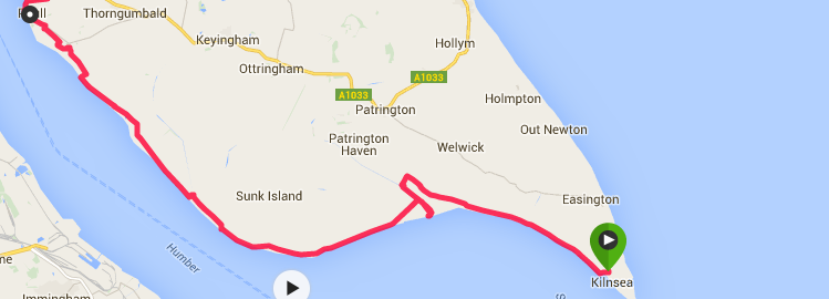
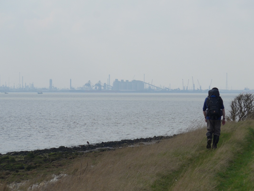
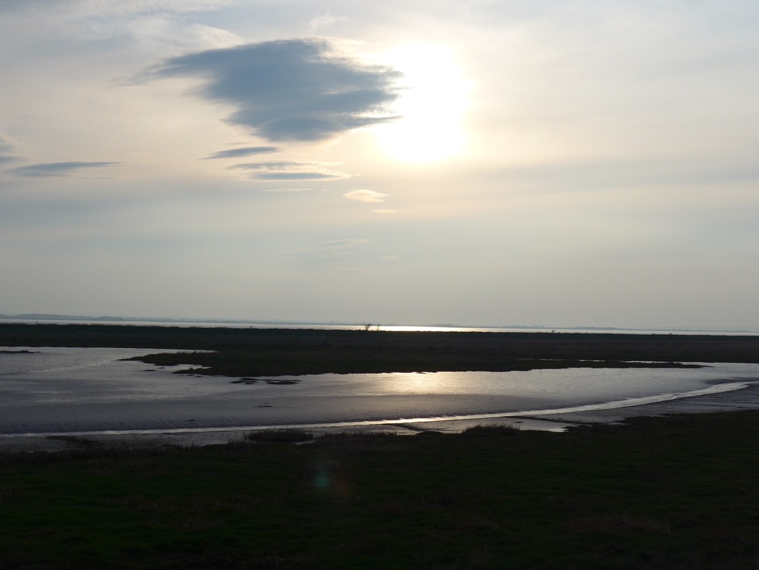
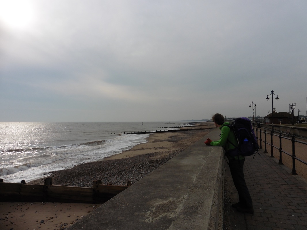
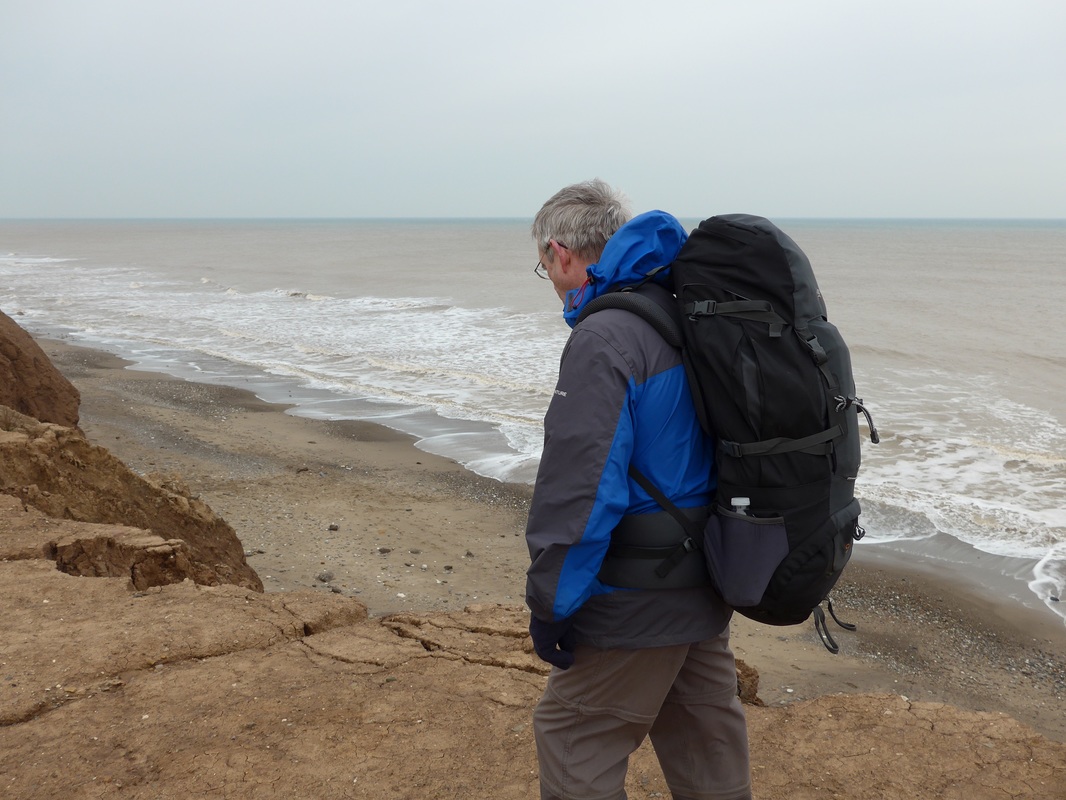
 Maiden at Sunset
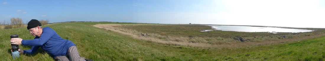
 We enjoyed a nice anniversary celebration dinner at the Crown and Anchor in Kilnsea last night and then watched the sun set over the eastern reaches of the Humber Estuary. After a good night’s sleep, we were down early for breakfast knowing we had a long day in front of us. This has been one of the best B&B’s (Westmere Farm, Kilnsea) we have stayed in from the lovely, homemade rock cakes and tea on our arrival, to lovely bedrooms and facilities, the free packed lunch and all the helpful advice we received from the owners regarding the local area and our proposed route.
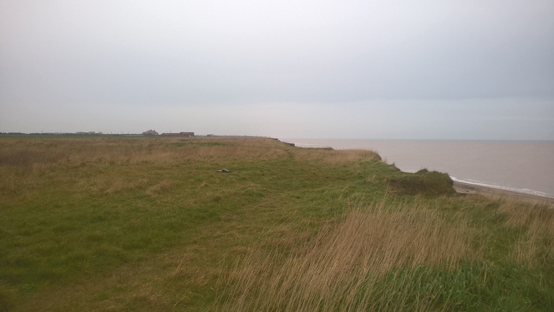
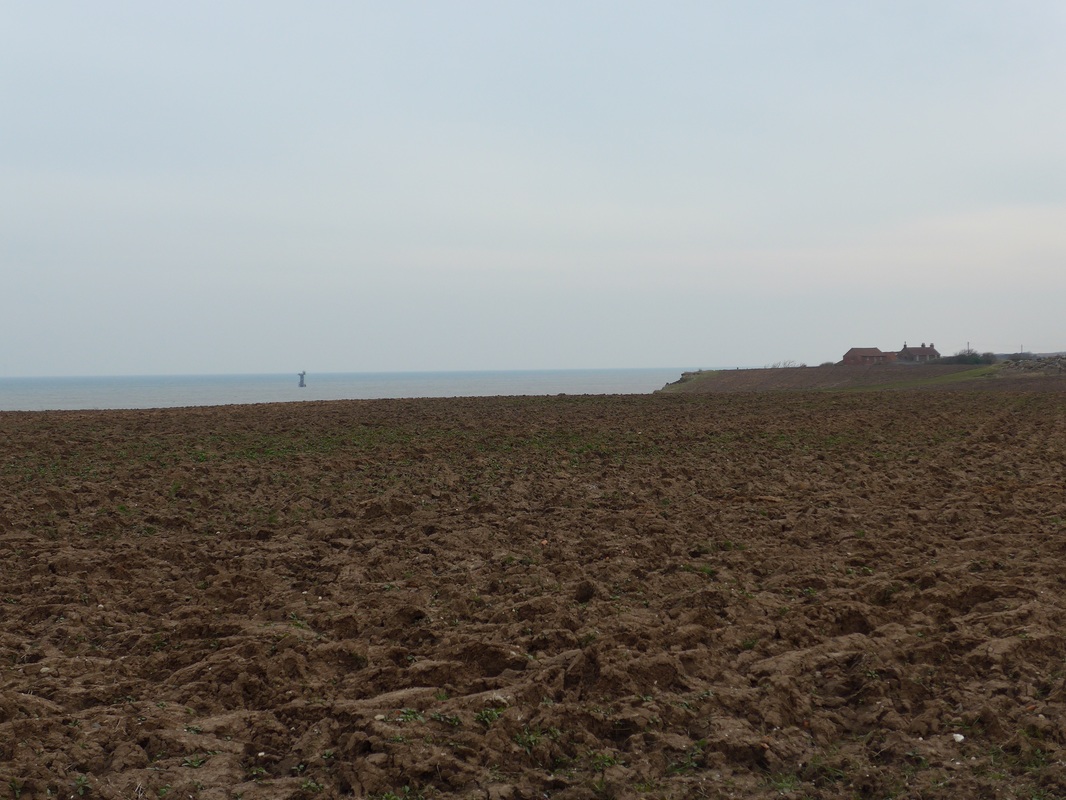
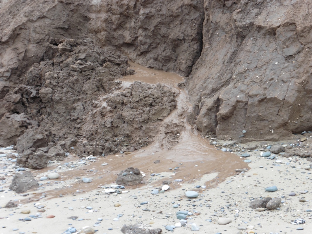
 Kilnsea Clays
 There was lively conversation at the breakfast table with other guests on the question of whether or not a walk round the coast needed to be a continuous endeavour, i.e., going in one direction and each section following on from the previous? Interesting that there was a bit of a male / female split of opinion with the males in the continuous camp and the ladies thinking it would be okay to do it as a series of unconnected sections. What do you think?
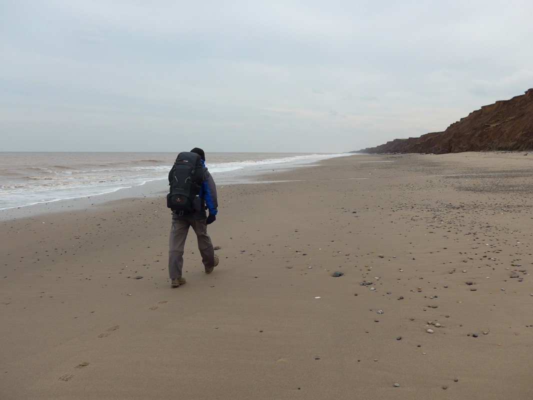
 Soak Dike
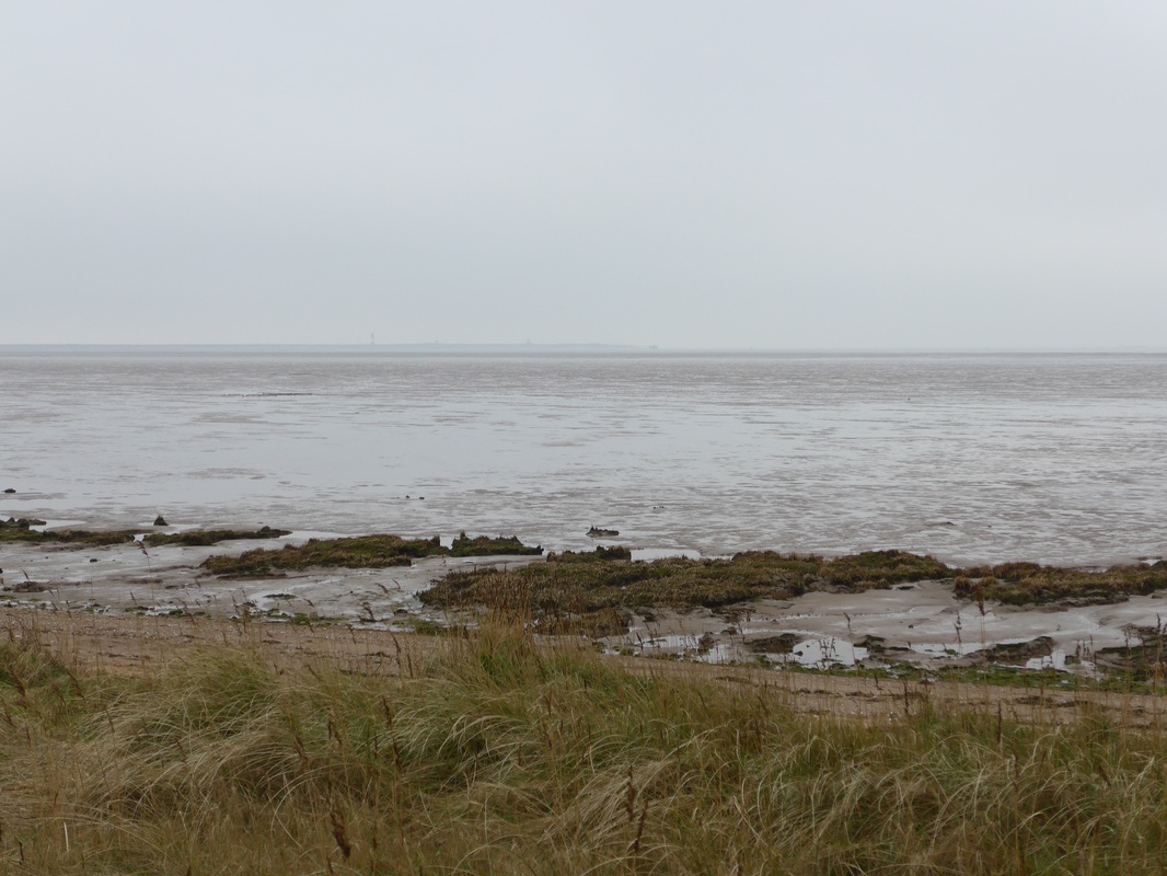
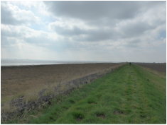
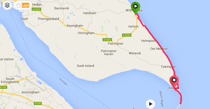
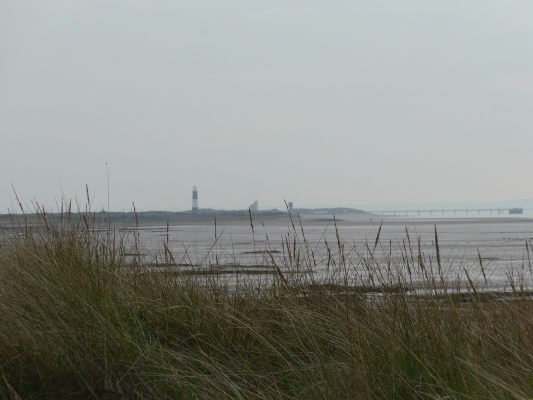
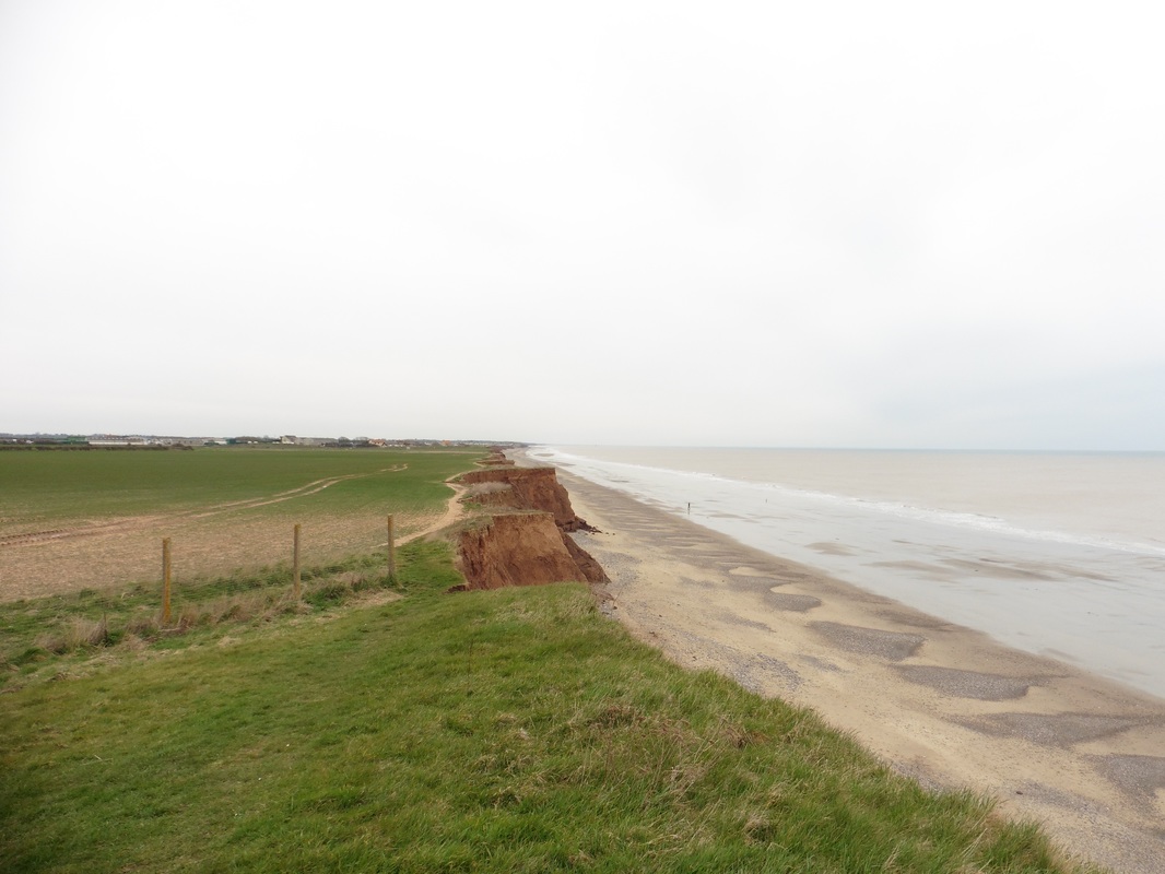
 After break fast we were quickly packed up and on the road for the long walk up the river to our next destination at Paull Holme Farm. Until we reach the south coast, the nature of the landscape changes drastically. Gone are the walks up and down the soaring, limestone cliffs of North Yorkshire and the slightly less-grand boulder clay cliffs of Holderness. Instead we have endless, flat miles of dike walking. The route up and down the other side of the Humber Estuary, through Lincolnshire, Norfolk, Suffolk and Essex will all be fairly flat and the sea will be some distance off the shore beyond marshes, clay flats and sand banks.

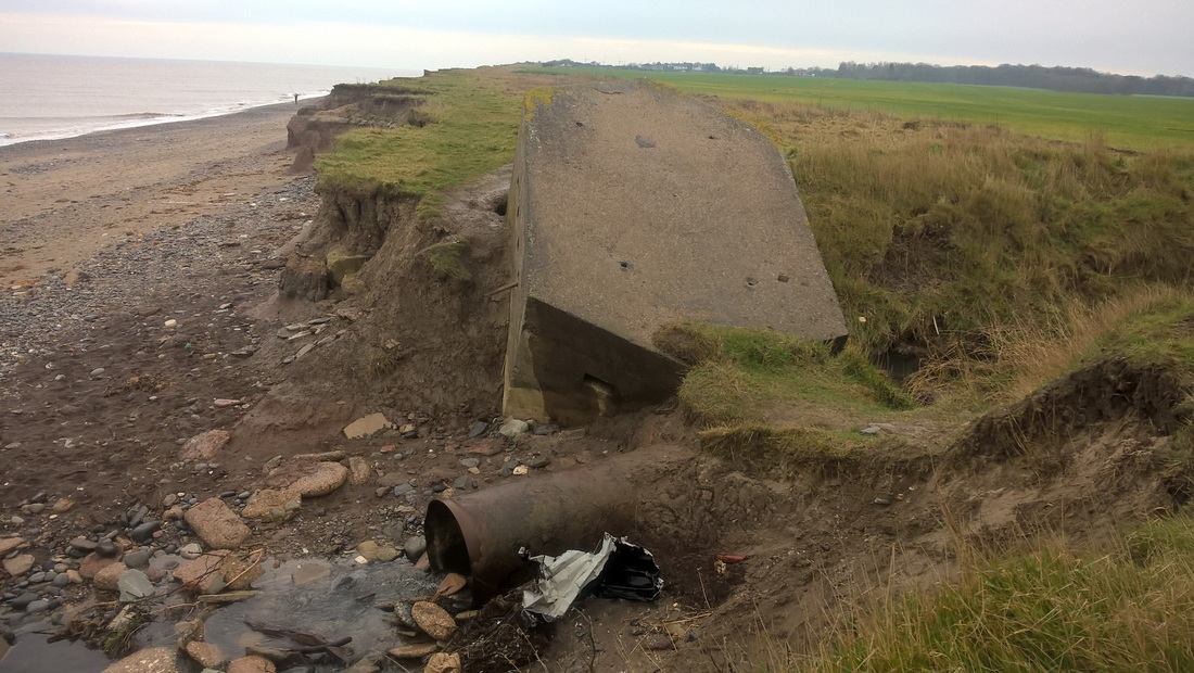
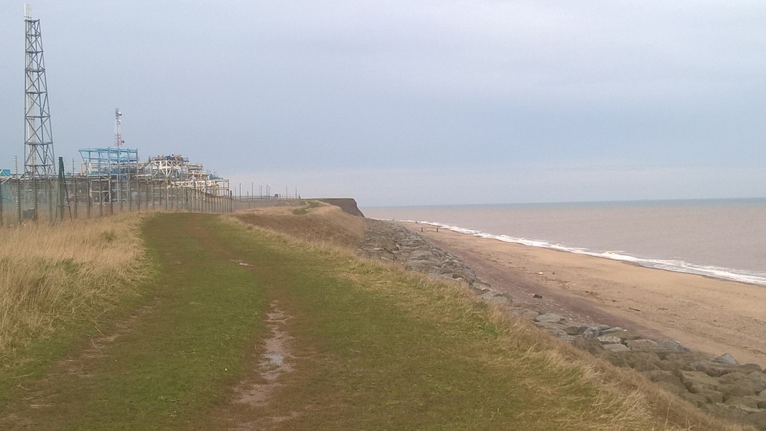
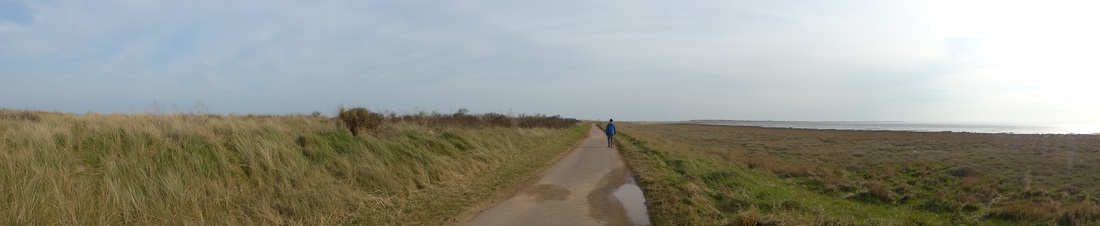
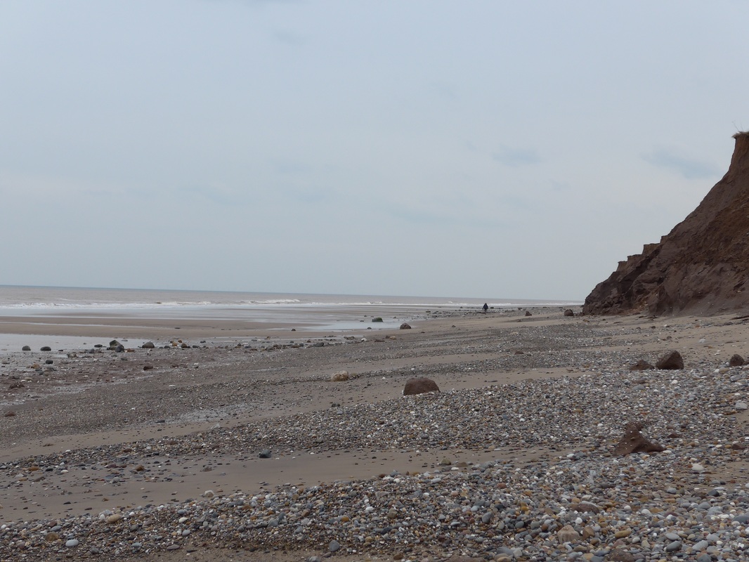
Kilnsea Dyke & Clay Flat
Leaving the B&B, we had a very short walk down the road before striking off to our right across a right of way to take up the route along the edge of the Humber. The Humber is described in sources as either an estuary or a river. It starts life inland just by Faxfleet Ness where the Rivers Ouse and Trent discharge and come together for the last part of their journey to the sea. In this sense the Humber is the estuary of the two rivers running out to the sea with the East Riding of Yorkshire on the north bank and Lincolnshire on the south.
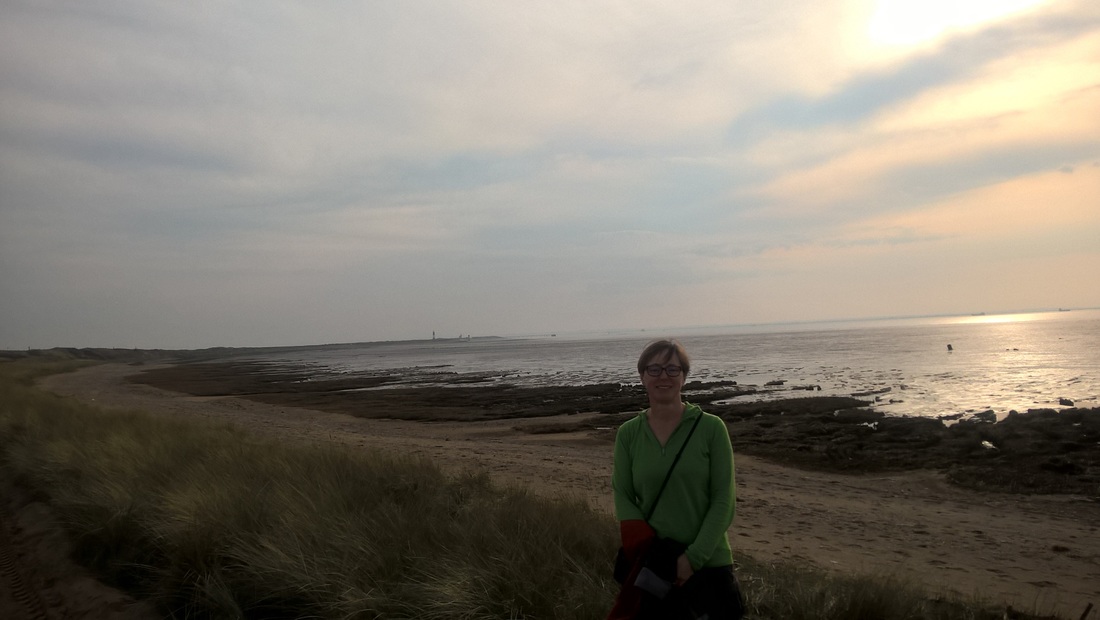
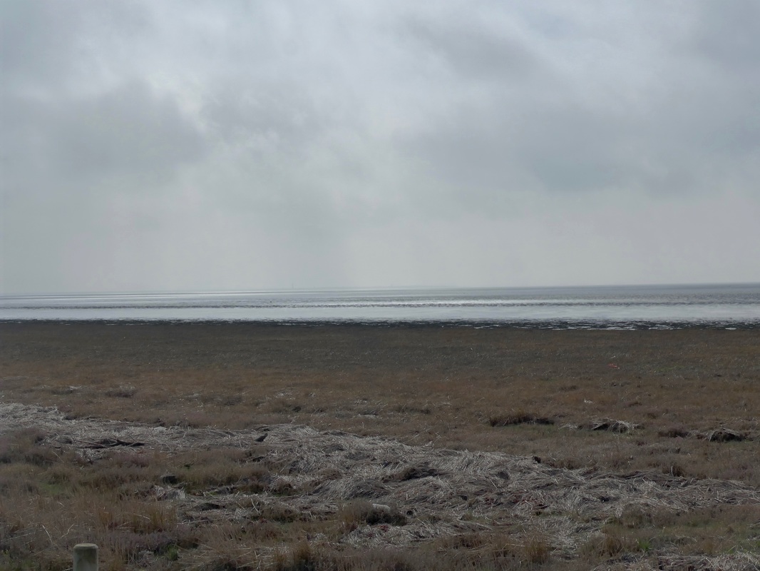
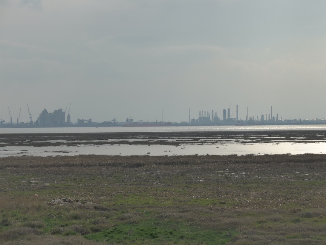
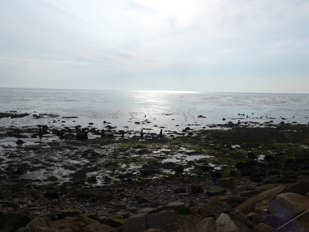
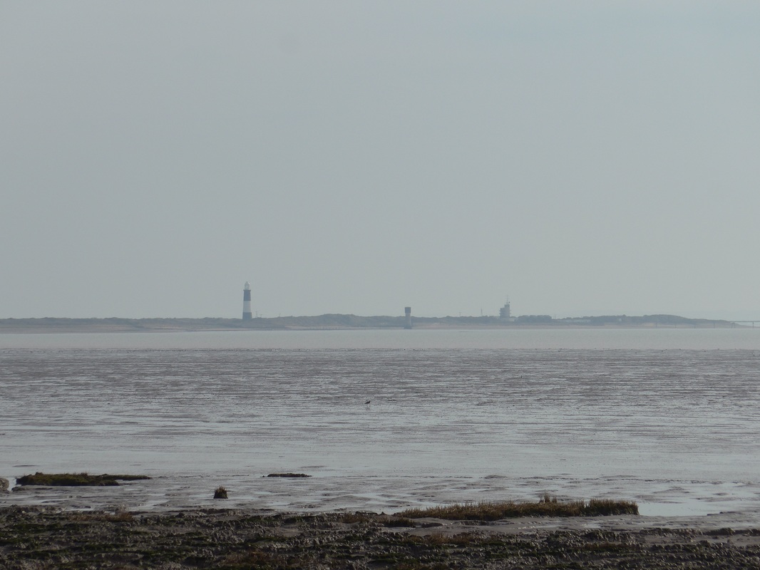
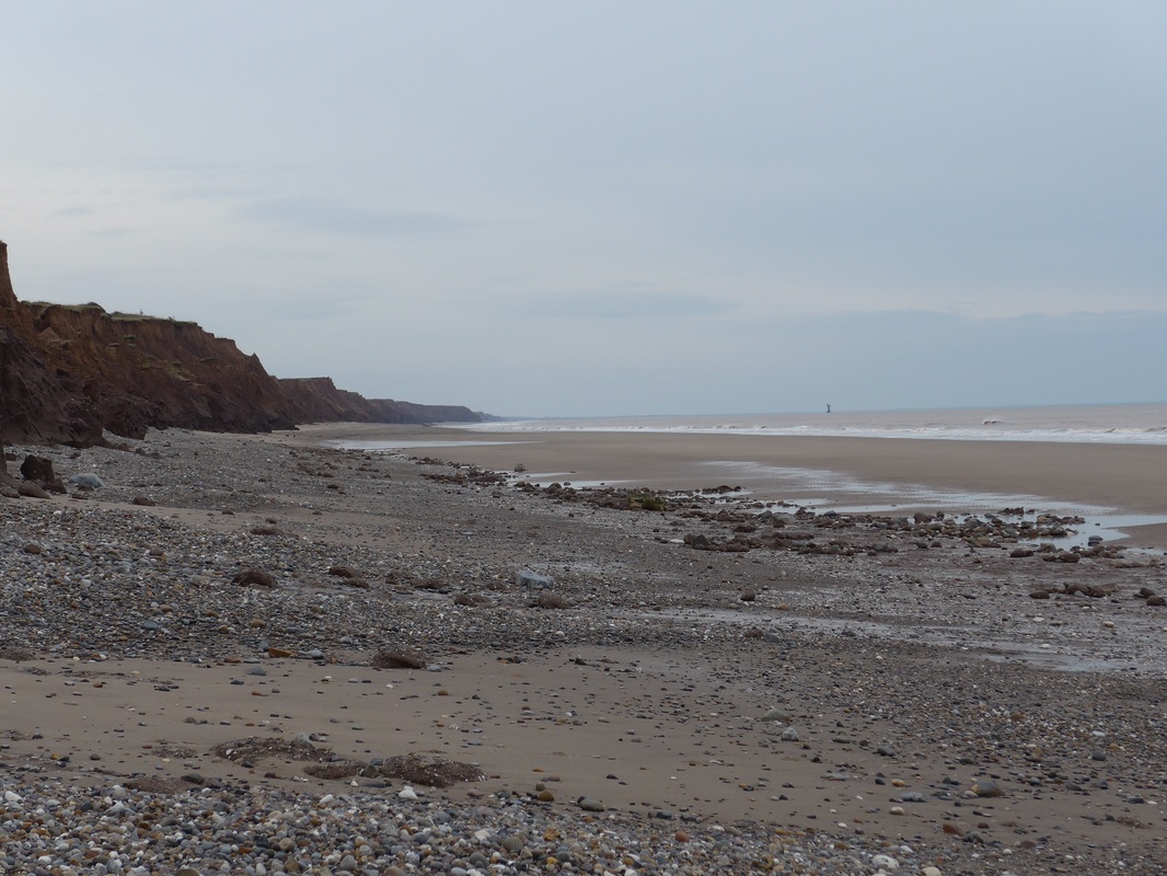
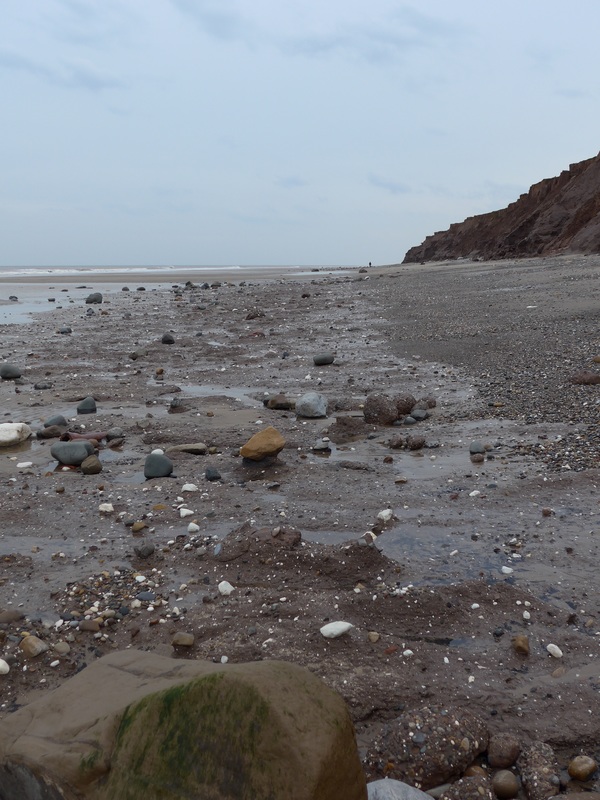
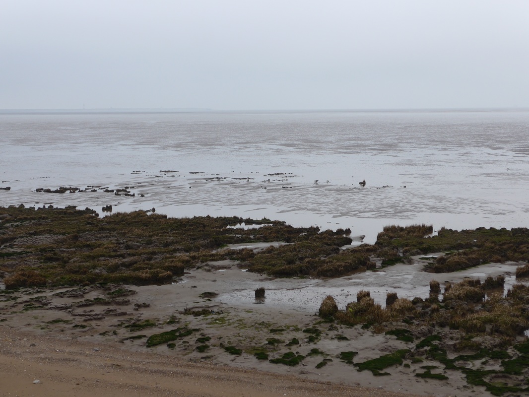 Foreshore & Flats
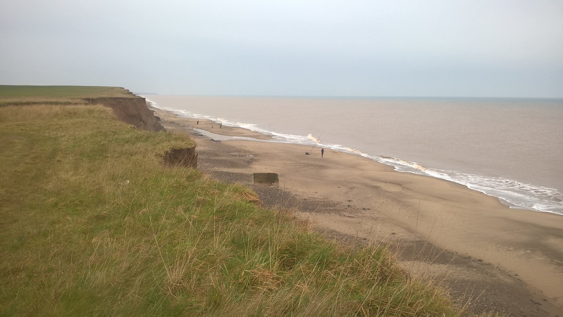
 When the tide is out, large clay flats are exposed at Kilnsea, Easington and Skeffington. On these sections the main river channel is only visible in the distance. In the early morning light the expanse of grey clay and mist give an eerie feel to the riverbank. Ships are only glimpsed at this time of the morning ghost-like as they pass up the river. The Humber is one of the busiest shipping channels in the United Kingdom, capable of handling over 40,000 ship movements per year.
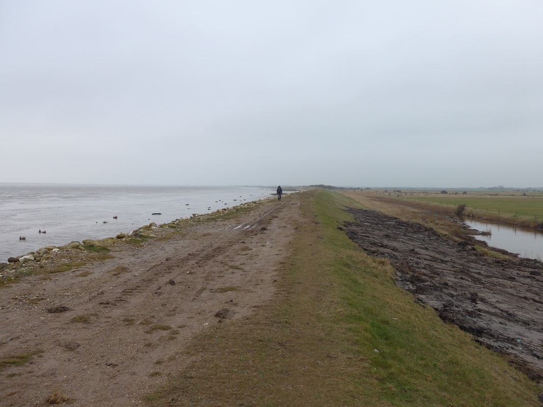
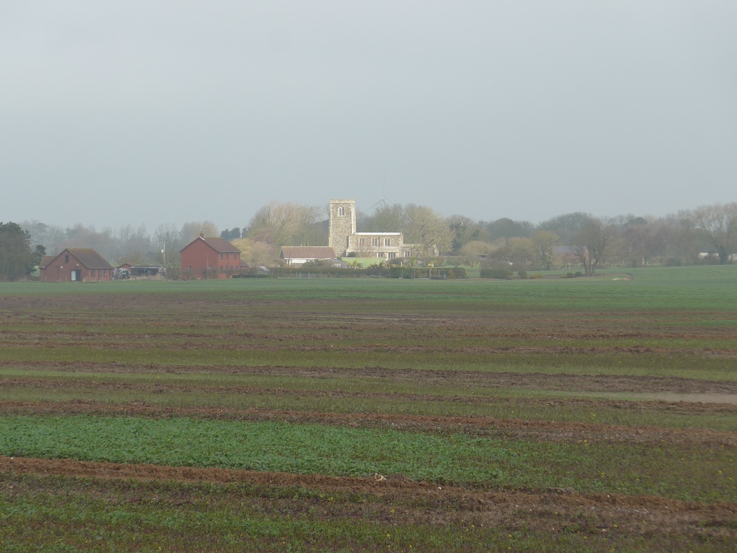
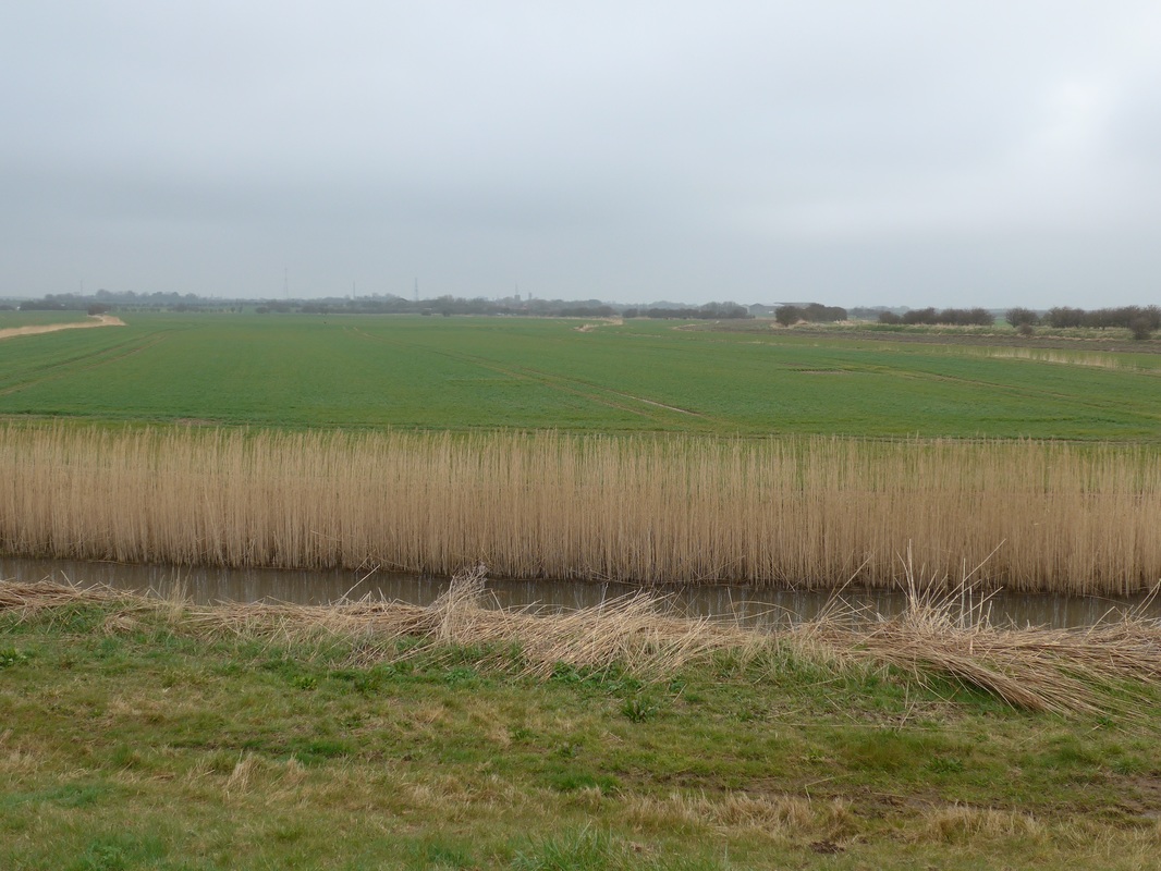
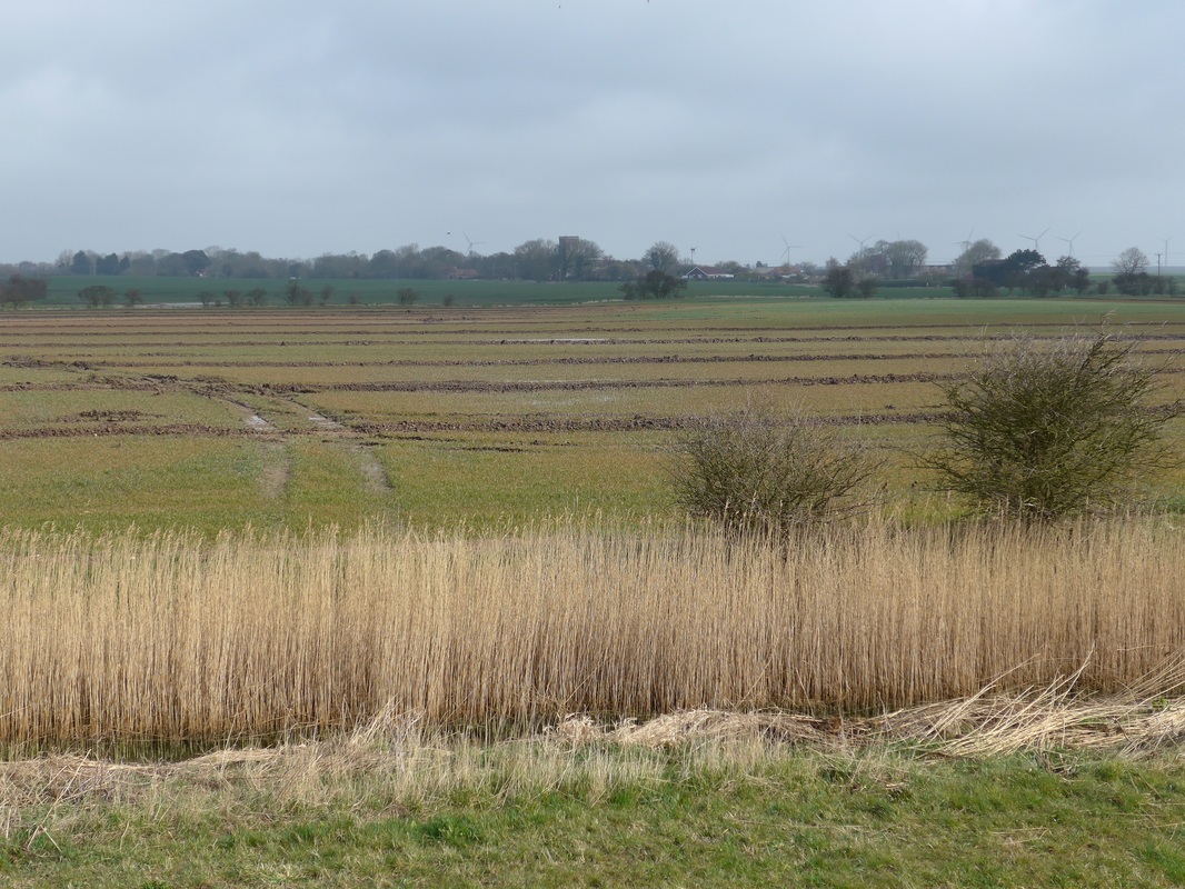
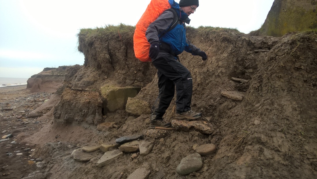
This is our first experience of walking on dikes and it is certainly easier, physically, than some of the hillier coasts we have walked on, at Eyemouth, for example. The clay beds to our left dominate the river view when the tide is out, while inland the standout features were beautiful, corn-coloured reed beds against a backdrop of verdant green arable crops. In the near distance, the square Norman tower of the 15thC St Helen's in Skeffling is stark against the trees and the steely grey sky. The original St Helen's church was located elsewhere in the village with the current building, started in 1466 and consecrated in 1470. It has been subject to restoration work recently and the link providing an internal view gives an idea of what a little gem of a church it is.
Much of the agricultural land at this end of the estuary on the north bank was reclaimed from the river in the 18th and 19th centuries and shelters behind protective dikes or banks. As we passed areas where there was hedgerow the quantity and quality of birdsong was a delight, albeit we saw very little of the abundant bird life said to populate the area. Perhaps too early in the year?
 Monochrome Foreshore
 The weather remained grey and overcast for much of the morning, with an occasional break in the cloud cover that promised better weather to come. The contrast between the almost monochrome forshore and the vibrant colours of the arable land provided an interesting landscape.
There was little navigation to be done at this point, as all you did was to follow the green dike road. The villages and hamlets at this end of the estuary are a mile or two in from the shore. Occasionally we could see the odd rooftop but nothing of any size after Skeffling until we moved inland later to negotiate our way around a water hazard.
There was little navigation to be done at this point, as all you did was to follow the green dike road. The villages and hamlets at this end of the estuary are a mile or two in from the shore. Occasionally we could see the odd rooftop but nothing of any size after Skeffling until we moved inland later to negotiate our way around a water hazard.
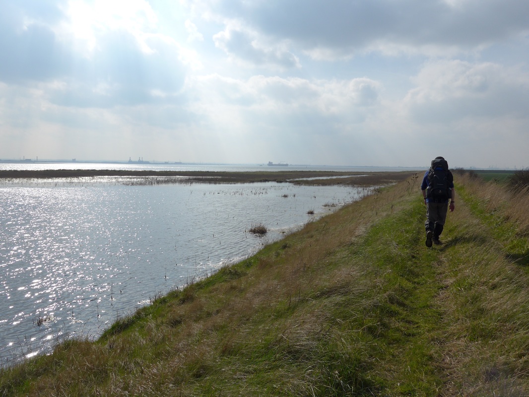
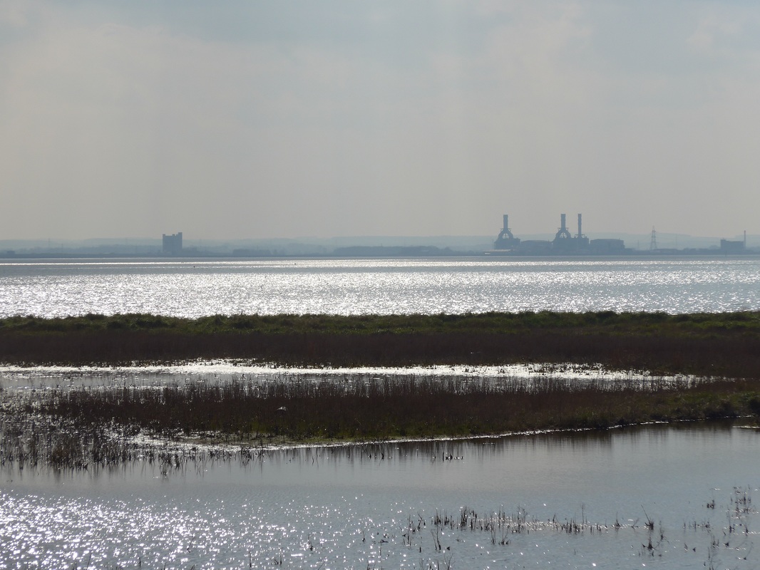
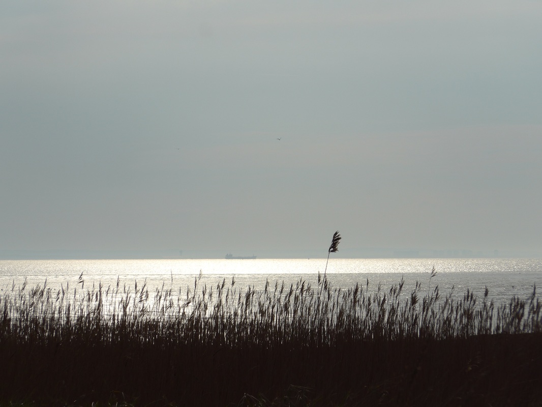
As noted earlier, the Humber Estuary is very busy with shipping and we spent a lot of the morning watching the coming and goings of the little pilot ships as they darted to and fro guiding larger freight vessels and occasionally ferries and liners in to one or other of the ports that line the river. Over a hundred vessels a day go up and down the estuary.
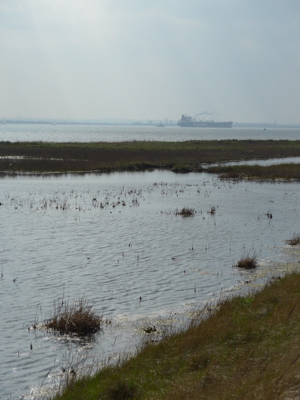 Turning Ship
 From our starting point at Kilnsea / Spurn Head where we were opposite Cleethorpes at the mouth of the estuary, in the course of the morning as we moved upriver we passed by the docks on the other shore of Grimsby, Immingham, New Holland and North and South Killinghome Haven. Further upriver the ports of Hull and Barton upon Humber are hidden by the bends in the river. It was fascinating watching these Leviathans of the sea turn in mid-river on a sixpence to enter one or other of the ports and the volume of shipping traffic was surprising.
Despite the level of shipping using the estuary, both banks are a haven for a huge diversity of wildlife and the potential for conflict between competing demands is never far away. Urban and rural; industrial and agricultural; human and animal requirements of land use come together on this coast and often have competing priorities. The range of organisations involved in the strategic planning effort is vast and ensuring everyone has their say must be a monumental task.
Despite the level of shipping using the estuary, both banks are a haven for a huge diversity of wildlife and the potential for conflict between competing demands is never far away. Urban and rural; industrial and agricultural; human and animal requirements of land use come together on this coast and often have competing priorities. The range of organisations involved in the strategic planning effort is vast and ensuring everyone has their say must be a monumental task.
Considerable efforts are made to keep the sea at bay here with the risk of flooding to the high quality agricultural lands behind the flood dikes on both banks very high. Any contamination of the land by seawater results in reduced crop returns for the farmers, as well as damage to the villages and settlements. In December 2013 a tidal surge went over the top of the defences and some of the land was inundated and contaminated by salt water, while further up the coast the city of Hull was flooded. The 2013 surge was the highest on record in the Humber Estuary and it led to the flooding of approximately 1,100 properties and 7,000ha of agricultural land on both banks. Subsequently (October 2015), the government turned down a £1.28 billion flood defence scheme as ‘not good value for money’, while arguing they were already undertaking other works to the value of £86M.
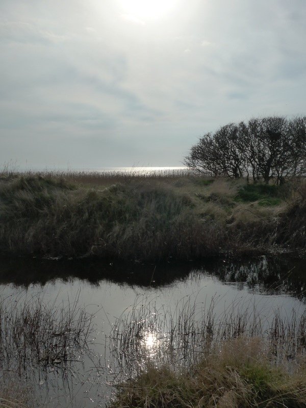
As we walk we can see to our right and left different water and land features that harbour the vast range of wildlife for which the area is known. From mudflats, saltmarshes, reed beds, and hedgerows, from standing water pools to the many large and small ‘drains’ that cross the landward area like the outlines of a large jigsaw puzzle. These latter water features drain the water from an area of land equivalent to one fifth of England and discharge it in to the Humber Estuary.

The unique land and waterscapes created on the Humber by the tidal action contain many rare or threatened mammals, fish, invertebrates and plants and it is no surprise to know that it is an area protected by both national and international conservation legislation. The mammals include water voles, grey and common seals. A bird assemblage including a range of ducks, geese, seabirds, songbirds, harriers (marsh and hen) and other rarities including bittern, whimbrel, avocet, short-eared owl and kingfisher. There are communities of toads, frogs, newts and lizards. The fish include the internationally threatened lamprey (but doing well on the Humber), as well as Atlantic salmon, sea trout and smelt. In the sand and clay flats there are a range of invertebrates and worms.
 Winestead Drain
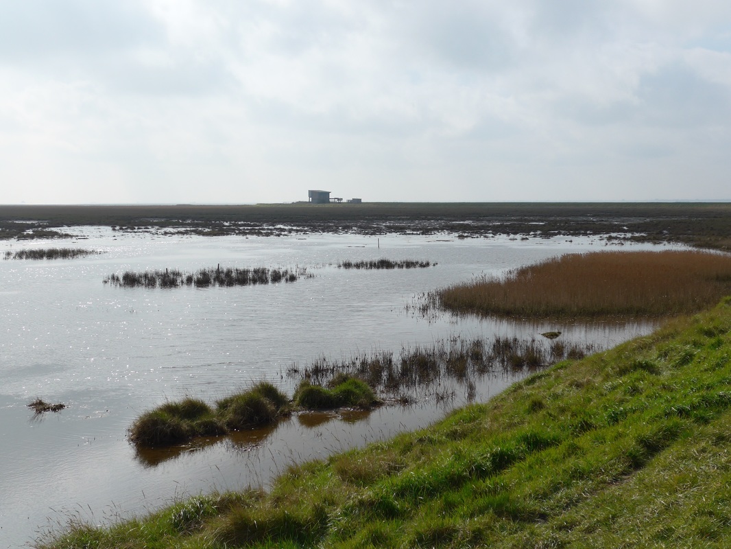
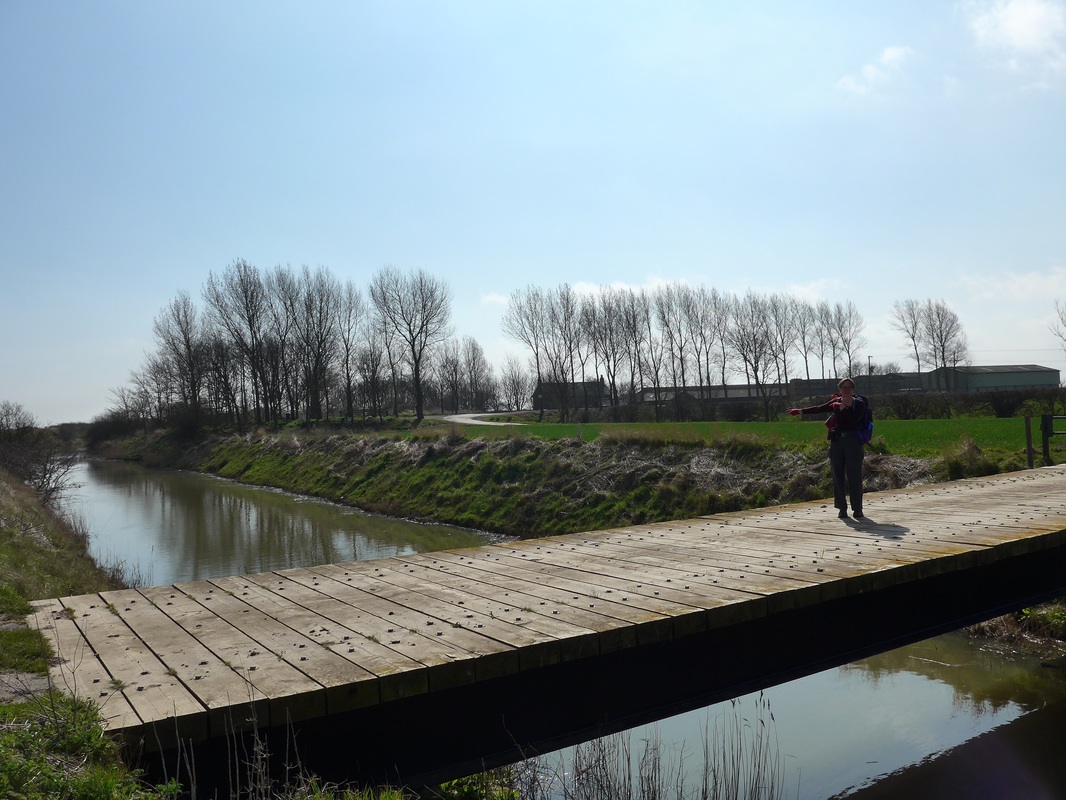
 Our route was fairly straightforward until we reached the outflow of the Winestead Drain at the Patrington Chanel, where we knew we needed to cut inland to find a bridge over this fairly long (6.64km) water feature. It was a slightly confusing set up because the dyke continues to follow the coastline to a where we could see a building apparently straddling the water feature (Centre above). Fortunately, we were able to save ourselves a walk by confirming with two locals walking their dog that there was no through route along the dyke and we turned inland to find an alternative route.
We followed a couple of paths over open countryside, climbed over a stile or two, went through a couple of gates and after what seemed a long walk up a country lane convinced ourselves we were completely lost. We stood around for about ten minutes trying to understand where we had gone wrong. Looking at the map; comparing it with the country in front of us; searching for identifying features that would confirm where we thought we should be on the ground. We were not short of defining features as we could see the village of Patrington with the tall spire of St Patrick’s Church to the front of us and Patrington Haven slightly to the left. At the end of the ten minutes we were still convinced we had it right and yet we had not found the path.
One of the recurring difficulties we have with map reading is in transferring the distance to be walked from the map to the distance we have actually walked on the ground. We were sure we had walked too far inland and must have missed the turnoff. Eventually, before turning back, I decided to walk another couple of hundred yards up the road and there behind some hedgerow was the path we were looking for. A frustrating experience, not for the first time, and one that we seem destined to repeat. You wonder sometimes why we are allowed out on our own!
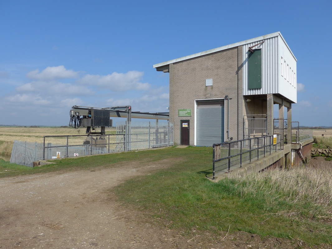 Winestead Outstrays Pump House
 Once we had found our way to Outstray Farm and crossed over the bridge, it was a fairly straightforward walk back down towards the shore. We had another bit of confusion when we followed the path right down to the shore edge before we realized that the dyke was actually some distance behind us. However, we were not too concerned because it gave us the opportunity to get a closer look at the building that we had seen earlier down on the shore, which turned out to be the Winestead Outstrays Pump House. Sure enough it straddled the watercourse but the barbed wire, spiky iron fence and CCTV would have made it difficult to use it as a route across the drain.
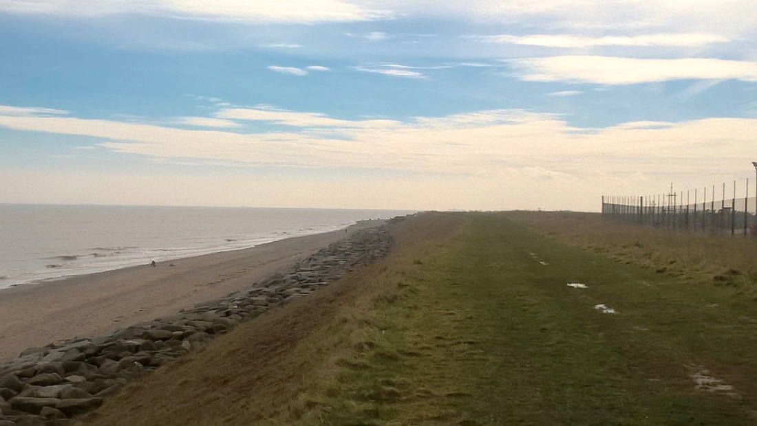
After walking back to the dyke we decided to stop for a brew up and a bit of lunch. By now the sun had come out and we enjoyed a wee half hour lying on the embankment before setting off again on the straight and narrow dike. While we could see the port facilities at Immingham, North & South Killinghome Haven and Grimsby on the opposite bank, those of Kingston upon Hull on the same side as us and Barton Upon Humber on the other bank were still hidden by the contours of the land and the large bends in the estuary. Throughout the length of the walk the play of light on water produced a lovely silver effect across its surface and continued to present the ships hidden behind a steely-blue veil.
From the Outstray Pump House the route was really straightforward and all we had to do was follow the dike. We had estimated the walk initially at between 17 and 18 miles but could see that it was likely to be slightly longer.
On this stretch we passed the commemorative plaque to flood defensive work undertaken in 1983-85 at Sunk Island to raise the level of the outer bank by 3.3 metres above the mean high water mark. Sunk Island started off as a sandbank in the Humber Estuary in the open sea and is now a small community about one mile north from the estuary. With accumulations of material over the years the sand bank gradually raised and following the building of a bank to the front of it began to be used as agricultural land. In 2011 the parish had a population of about 211.
On this stretch we passed the commemorative plaque to flood defensive work undertaken in 1983-85 at Sunk Island to raise the level of the outer bank by 3.3 metres above the mean high water mark. Sunk Island started off as a sandbank in the Humber Estuary in the open sea and is now a small community about one mile north from the estuary. With accumulations of material over the years the sand bank gradually raised and following the building of a bank to the front of it began to be used as agricultural land. In 2011 the parish had a population of about 211.
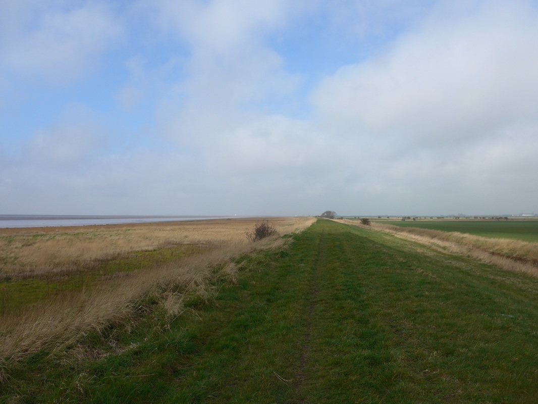
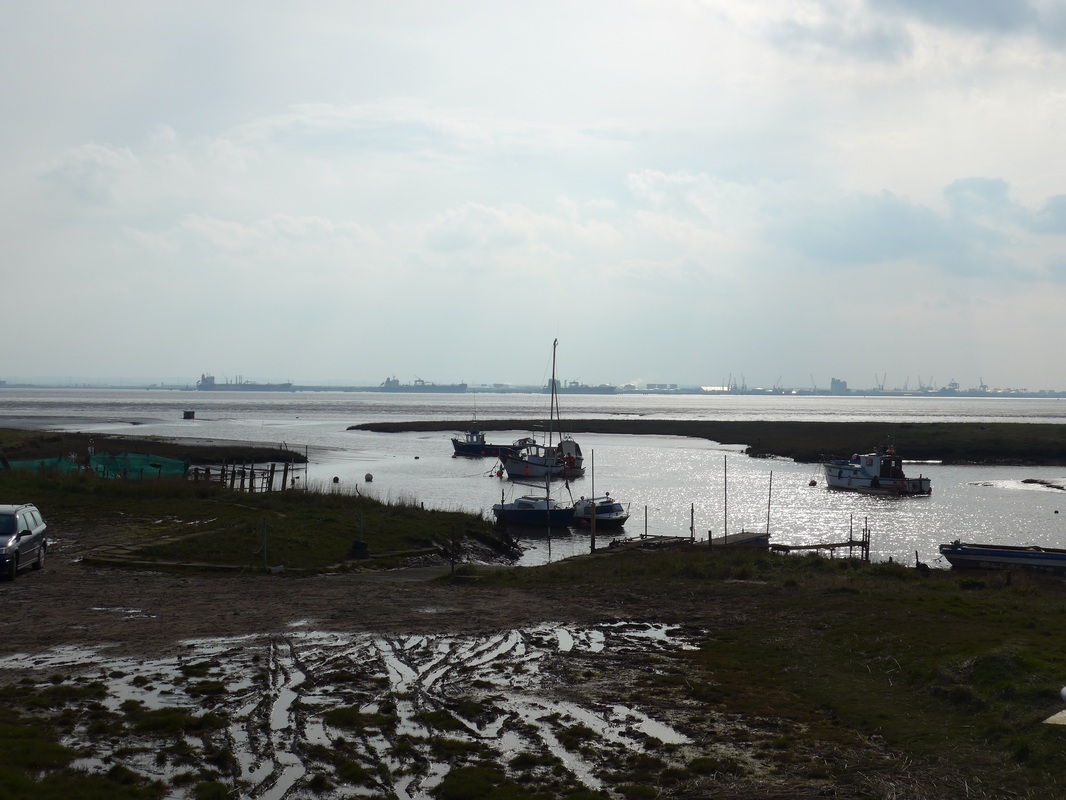
Views from West Bank
As we made our way round Hawkin’s Point we hoped to see some sight of our destination but were disappointed when all we saw was the dike disappearing in to the distance. Later on at Stone Creek, we had to move a little bit inland again to cross over this water feature. We stopped for a few minutes enjoying the tranquil setting with the small sailing boats bobbing on the river, the creak of a yardarm and the rattle of a cleat. Opposite the port of Immingham, Stone Creek is the location for a small yachting club. The village of Stone Creek is actually about another two miles inland and there is little at the creek, apart from the yachting Club and a telephone.
As we passed over the bridge we met a group of birdwatchers and passed the time of day with them. They were not at all surprised that we were trying to walk the coast of Britain, observing that they had met a number of other people in recent years undertaking the same journey.
As we passed over the bridge we met a group of birdwatchers and passed the time of day with them. They were not at all surprised that we were trying to walk the coast of Britain, observing that they had met a number of other people in recent years undertaking the same journey.
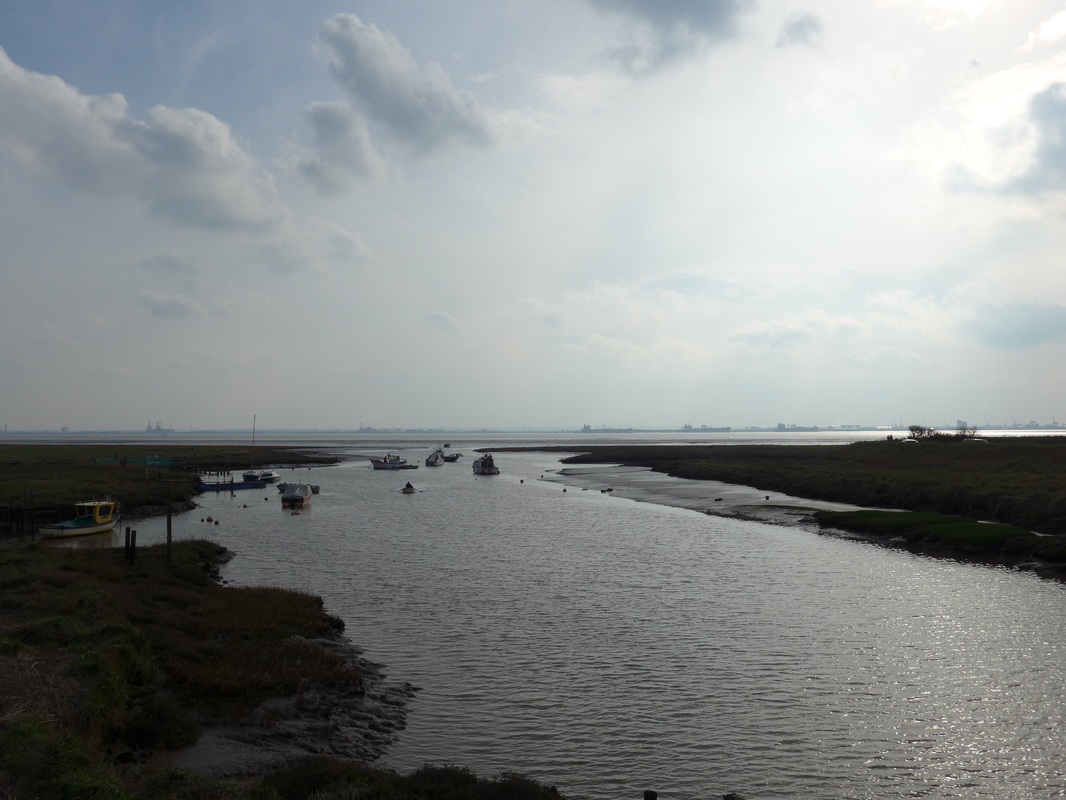
Images of Stone Creek
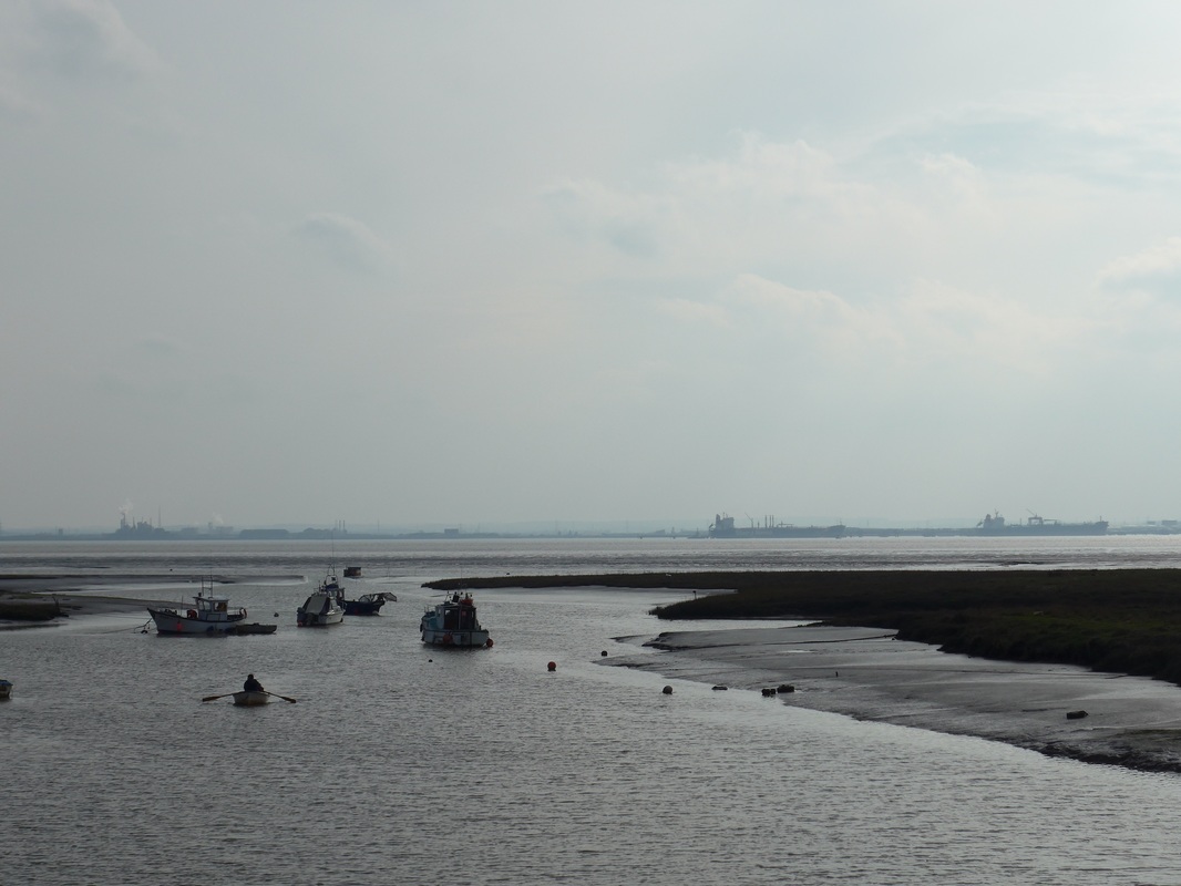
 To North Killinghome Haven
 By now we were walking in the gloamin and the heat of the day was dissapating. The coat, hat and gloves were back on as the atmosphere cooled and dampened. Once back on the dike from after our detour at Stone Creek, we could see the twin lighthouses beside Paull Home Battery. Buildings were visible in the low land behind the dike and for every building we saw in the distance a wee prayer goes up that ‘surely’ this one is our accommodation. After a few disappointments we eventually identify Paull Home Farm and slowly trudge through the fading light in a dwam thinking of tea, hot food, shower and bed.
 Sunset at Paull Home
 We were dismayed to find out that after walking twenty miles, if we wanted to eat, we would need to walk another couple of miles in to the village to the local pub and back out again. Taking pity on us the owners offered to take us in their car but we would need to walk back out under our own steam. After a shower and a wee cup of tea the world did not seem such a bad place after all. And after a meal the stroll back out again did not seem so daunting.
As we walked back we reviewed the walking we had done over the last eight or nine days and felt a quiet satisfaction that we were able to finish it off with a twenty-miler and not feel too wrecked. Homeward bound tomorrow to plan the next stage of our little adventure.
As we walked back we reviewed the walking we had done over the last eight or nine days and felt a quiet satisfaction that we were able to finish it off with a twenty-miler and not feel too wrecked. Homeward bound tomorrow to plan the next stage of our little adventure.


 RSS Feed
