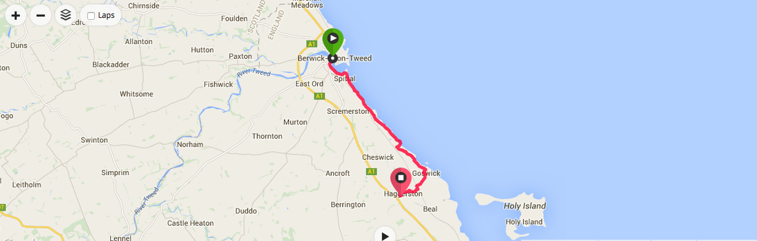
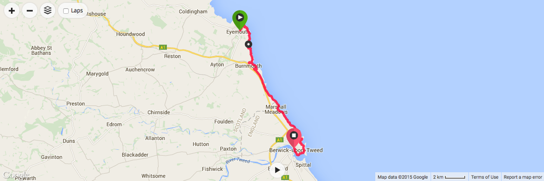
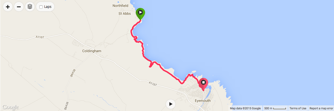
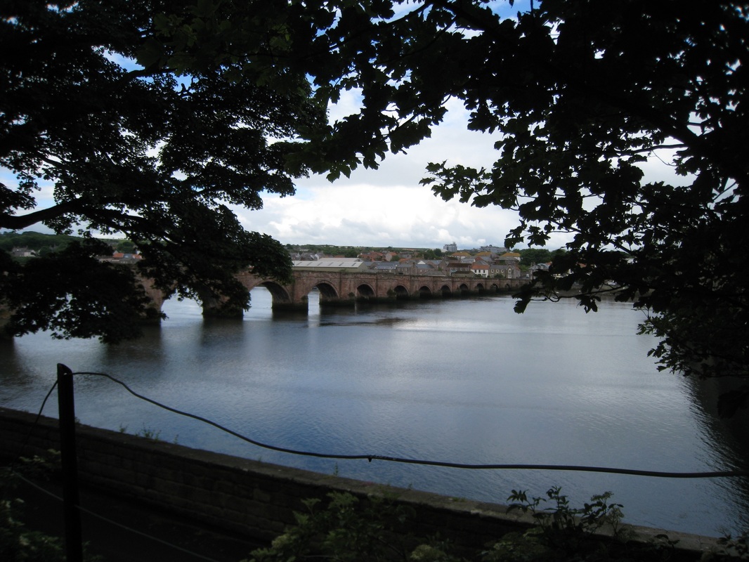
We ended up having to go back on to the Berwickshire Coastal Path that runs behind the dunes to get to where we wanted to be. Eventually, we followed a long and weary road out to and through Haggerston Castle and reached the holiday camp just as the heavens opened and the rain teemed down. Despite the fact it was a relatively short walk today we were both now tired and just a teensy bit grumpy and ready for home. It was a wait of over an hour for a bus, so we opted for a taxi and wet, weary and with sore feet we headed back to our car at Berwick upon Tweed.
On our stopover in Berwick upon Tweed we enjoyed a nice Italian meal, despite the best efforts of the headwaiter in the establishment to spoil our enjoyment by shouting across the dining room at his staff. Our accommodation was reasonable but as it was in the coombes of a house it was very warm in the late evening sunshine. No breakfast in the accommodation, so we bought from a little deli across the way and ate on the hoof. 
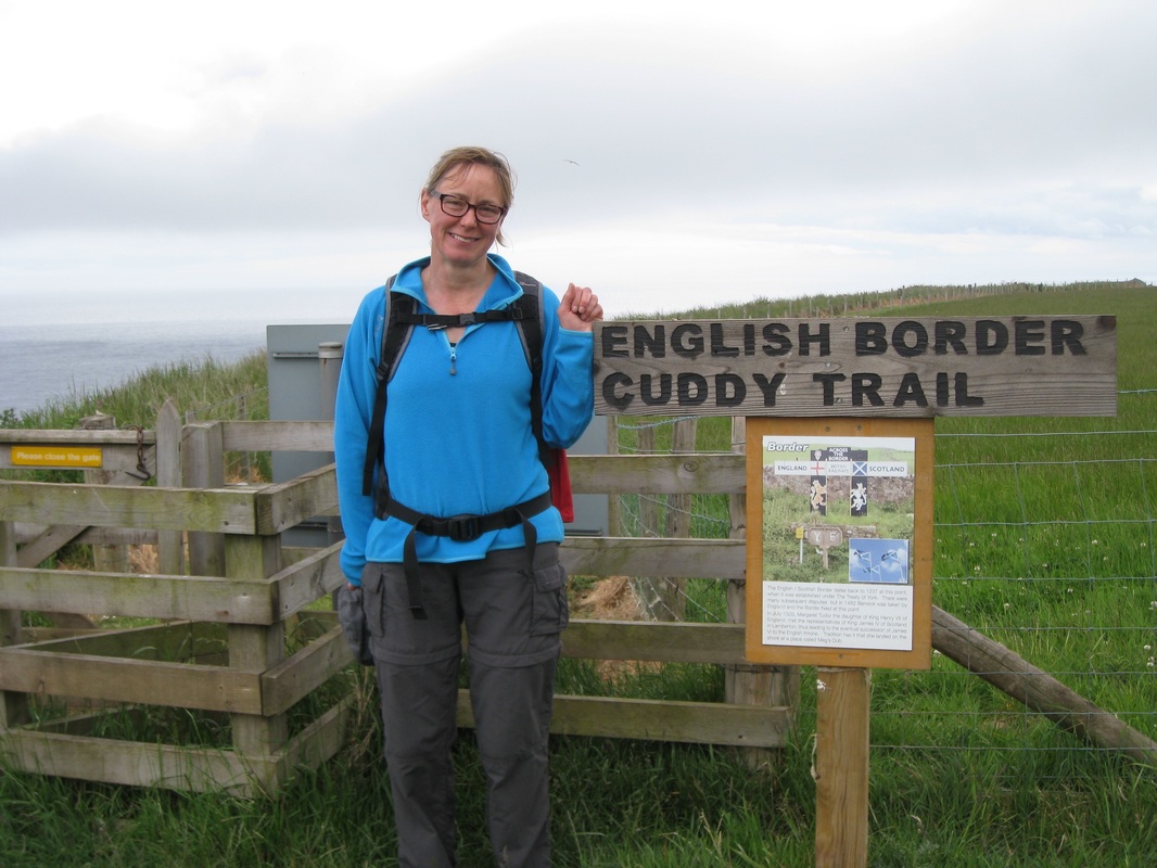
From our accommodation in the middle of town, we made our way back down to the bridges across the river. Berwick upon Tweed sits on the north bank of the river with Tweedmouth on the south. Berwick is a little bit of an anomaly in that it is the last town in England going north, but it sits on the north bank of the River Tweed which is generally taken to be the physical border between England and Scotland. The local football team, Berwick Rangers, play in one of the Scottish football leagues and, the local accent to my ears was distinctly Scottish. English or Scottish? Go figure!
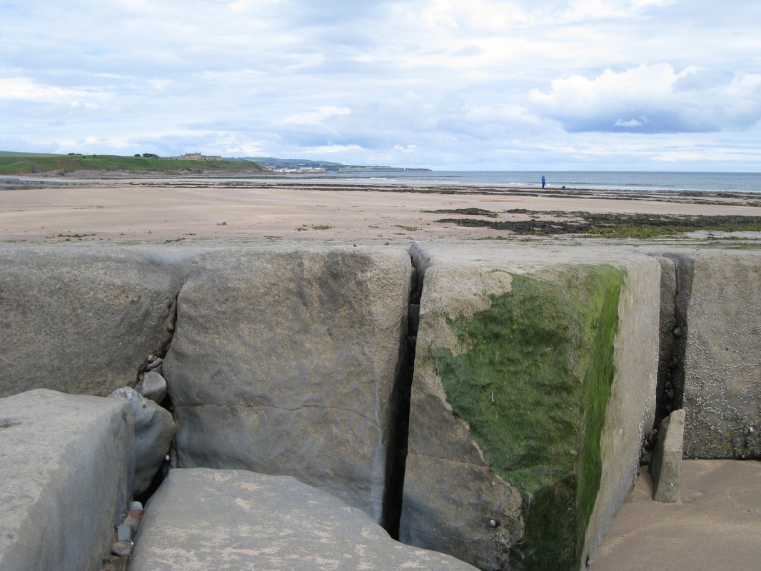
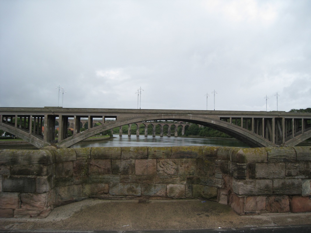
 
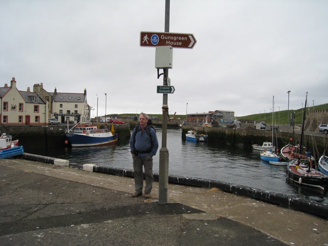
Down by the river there are three bridge crossings in very close proximity to each other. The Old Bridge, from which this photograph was taken was built between 1611 -1624. It consists of 15 beautiful arches that from the shore seem to move effortlessly across the water (See first photograph). Earlier bridges would most likely have been wood which was more easily destroyed by the weather or in one of the many wars fought here, particularly during the Scottish Wars of Independence. The wee nook in the foreground of the picture enables pedestrians to duck in out of the way of the cars. The next bridge up is Royal Tweed Bridge with long, low, elegant spans and which is now the main road traffic bridge for the town (traffic now only goes south on the Old Bridge). Beyond the road bridge is the Royal Border Bridge, a railway viaduct with equally impressive, but much higher arches than the old road bridge.
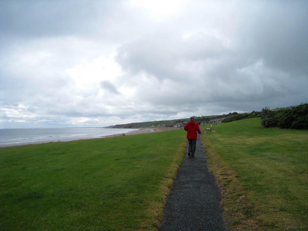
 
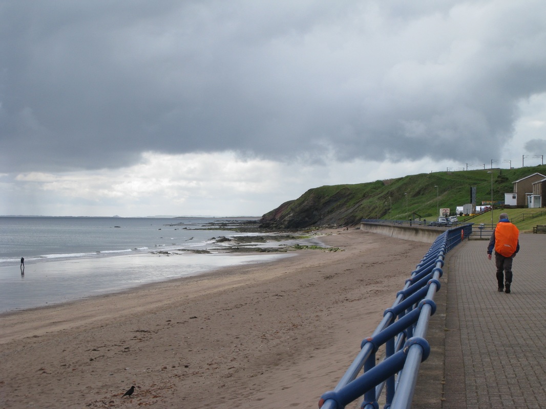
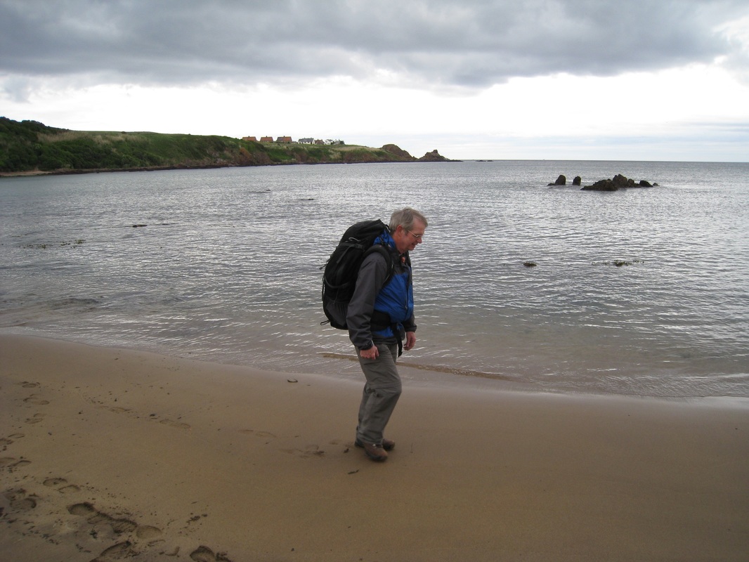
We crossed the Old Bridge at low tide, taking the time to admire the view from the bridge. The weather was just a wee bit dismal; a fine smirm-like rain falling every so gently on our heads and shoulders. While we took the precaution of donning wet gear, it never developed in to anything like ‘real rain’ until the very end of the walk. Across the bridge, we dropped down to our left on to an asphalt path that runs along the river’s edge through the dockside and up to the sandy beach at Spittal.
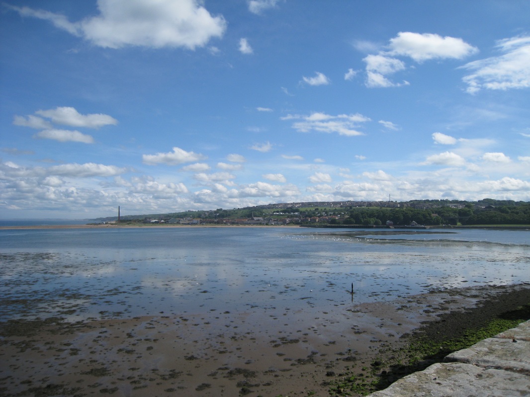
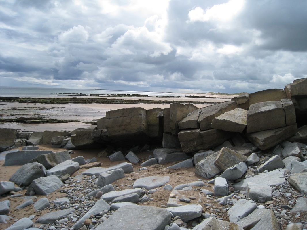
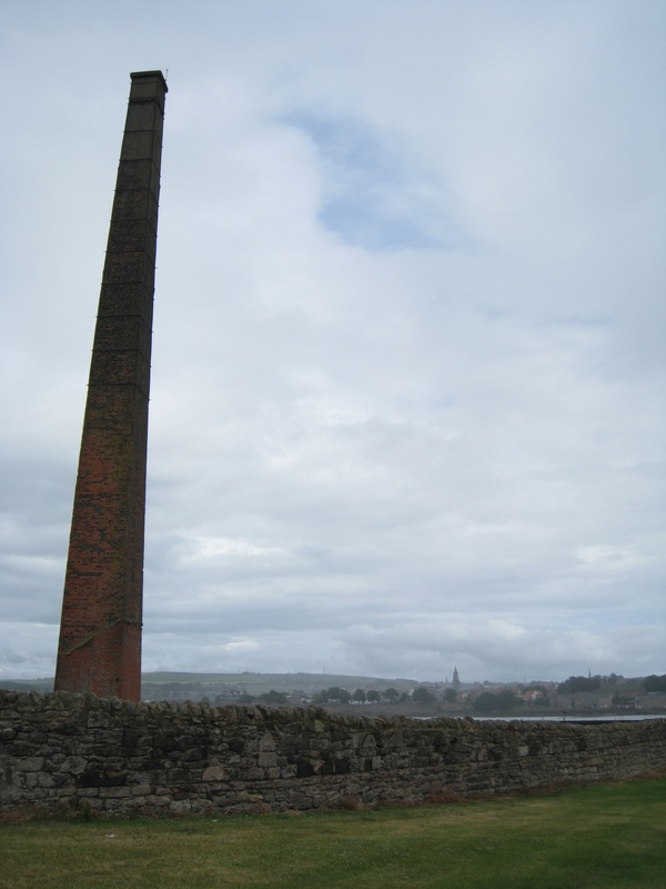
 
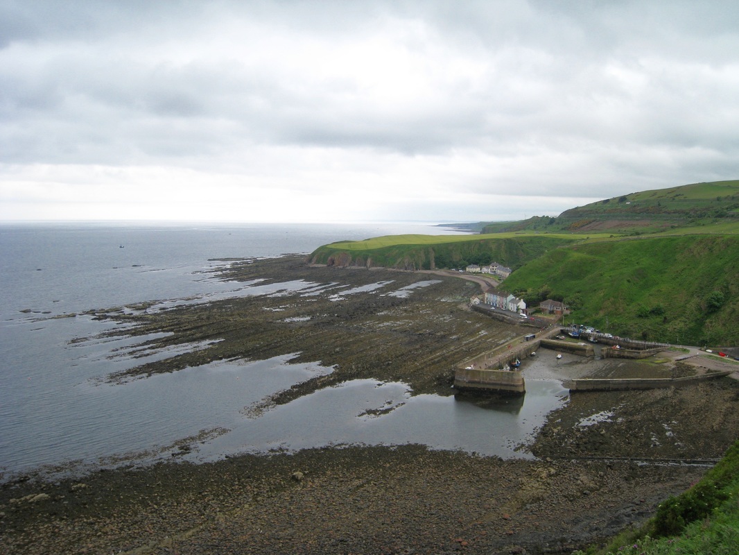
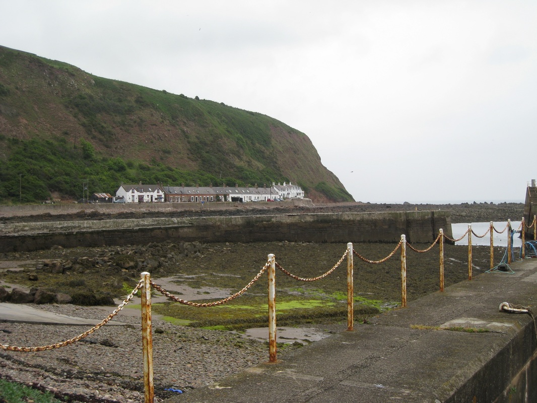
Spittal is a wonderful example of how you can look at an area now and think it fairly inconsequential, but literally scratch the surface and you can find hundreds of years of history underground. In recent times, activity in the area has been industrial but not too long ago the area would have been a hive of activity with fisherman’s cottages and smoke houses lining the shore. In even earlier times, it is thought that there may have been a leprosy hospital on the site. In times of plague the gates of the town would be closed and anyone ill or requiring isolation would be expected to stay on the south side of the river. The only reminder of busier and perhaps more prosperous and productive times on the site is a single, sad, now cold and forlorn factory chimney at Sandstell Point. 
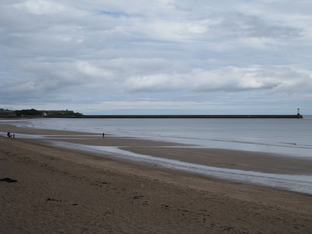
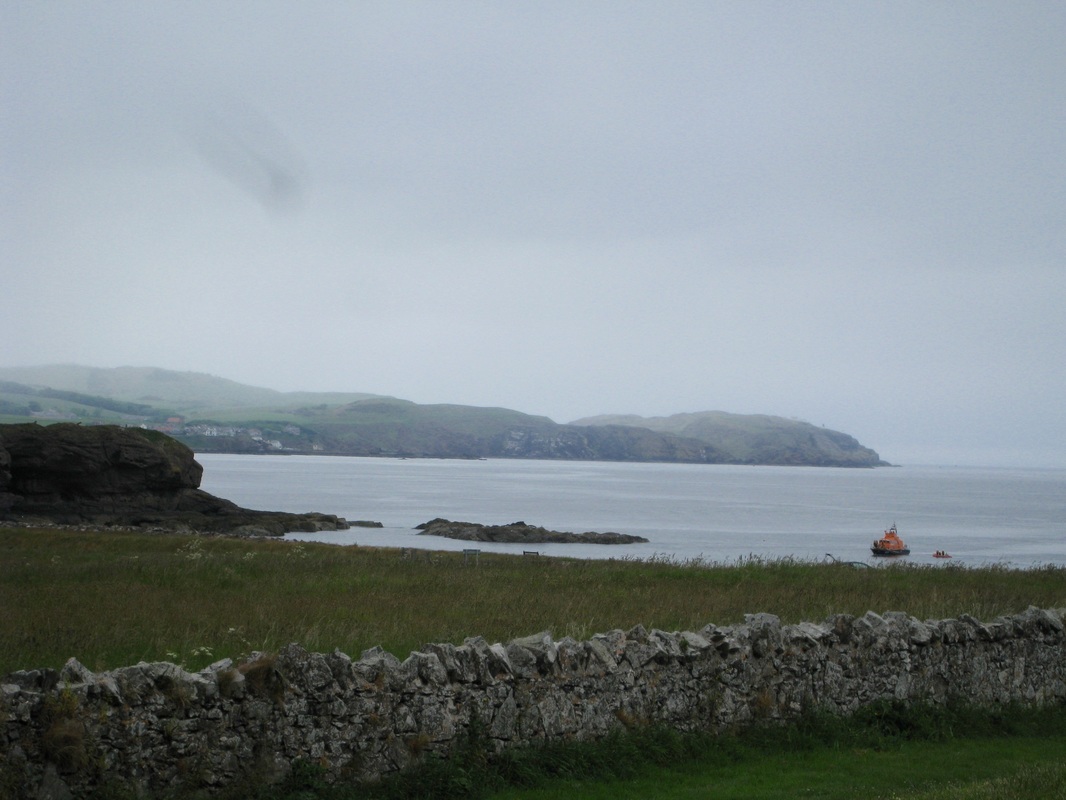
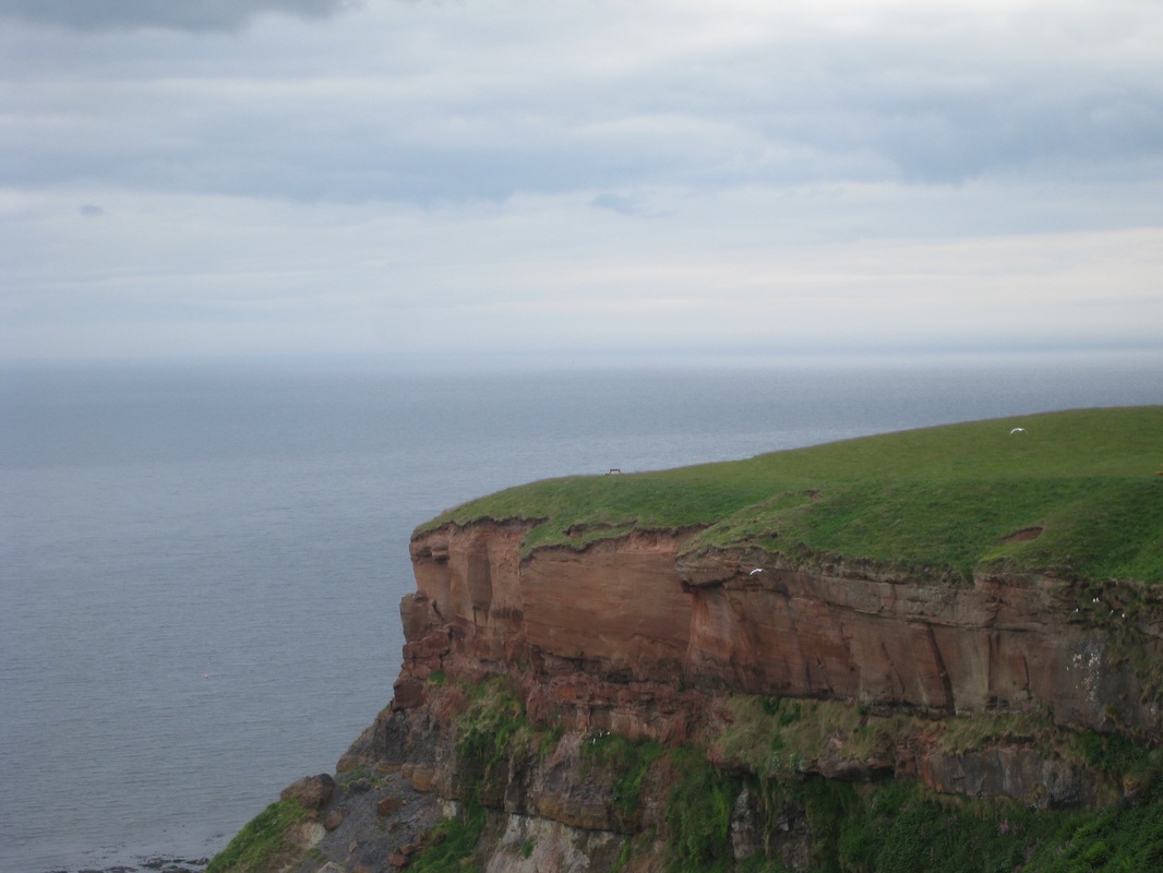
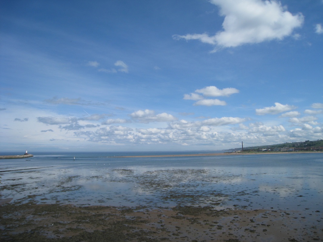
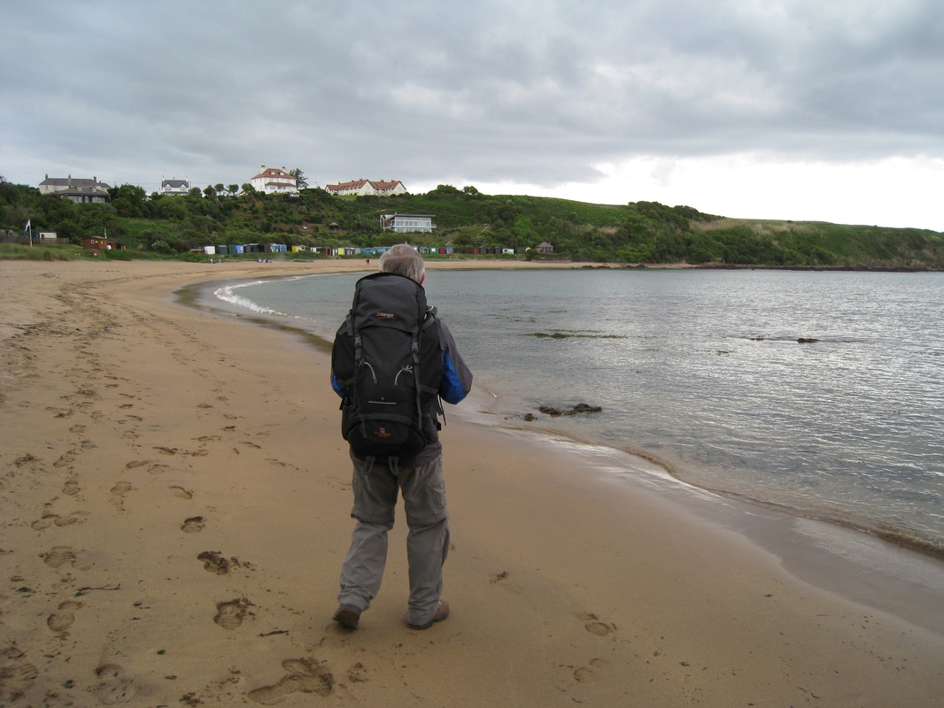
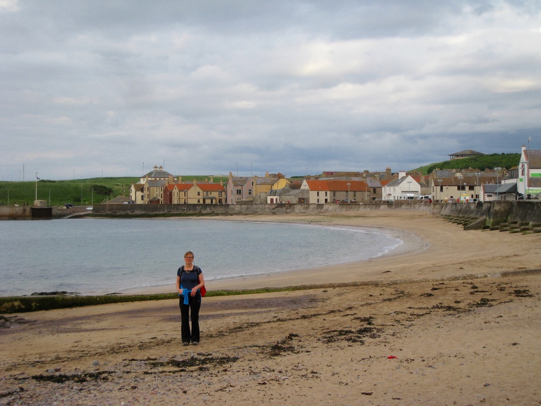
At the end of the asphalt path we dropped down on to the beach to walk along the water’s edge. The sky above had become grey and angry looking and we expected a downpour at any minute. At the end of the beach, by Bear’s Head, we moved back up again on to what was now a promenade for the last wee bit before moving in to more open countryside. Looking back we had fine views of the town on the hillside and the lovely line of the long pier running out to the lighthouse. 
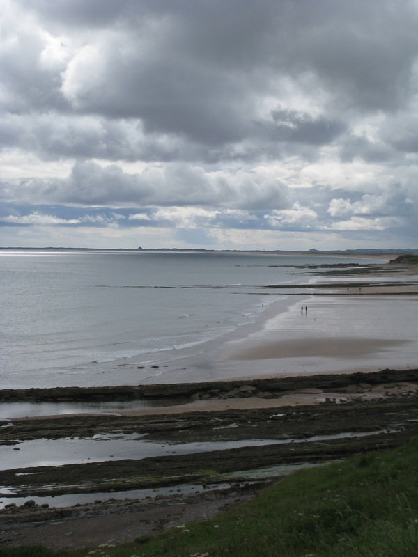
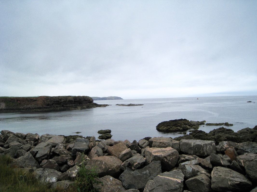
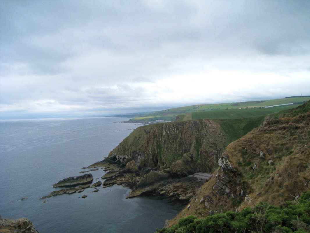
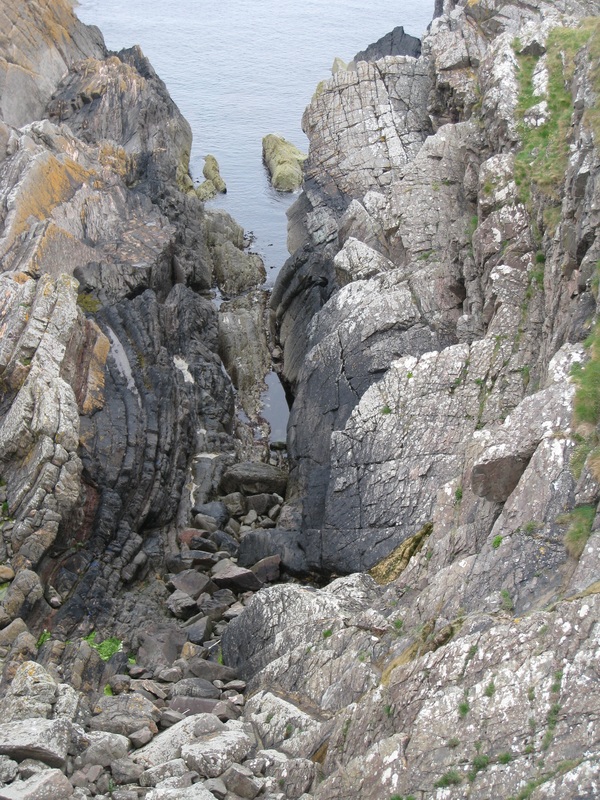
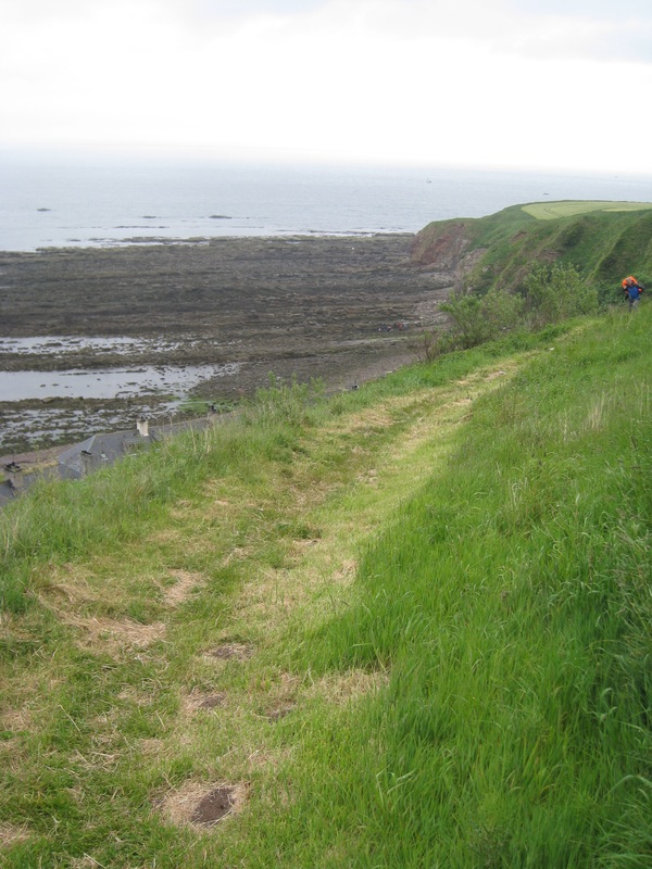
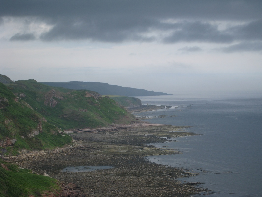
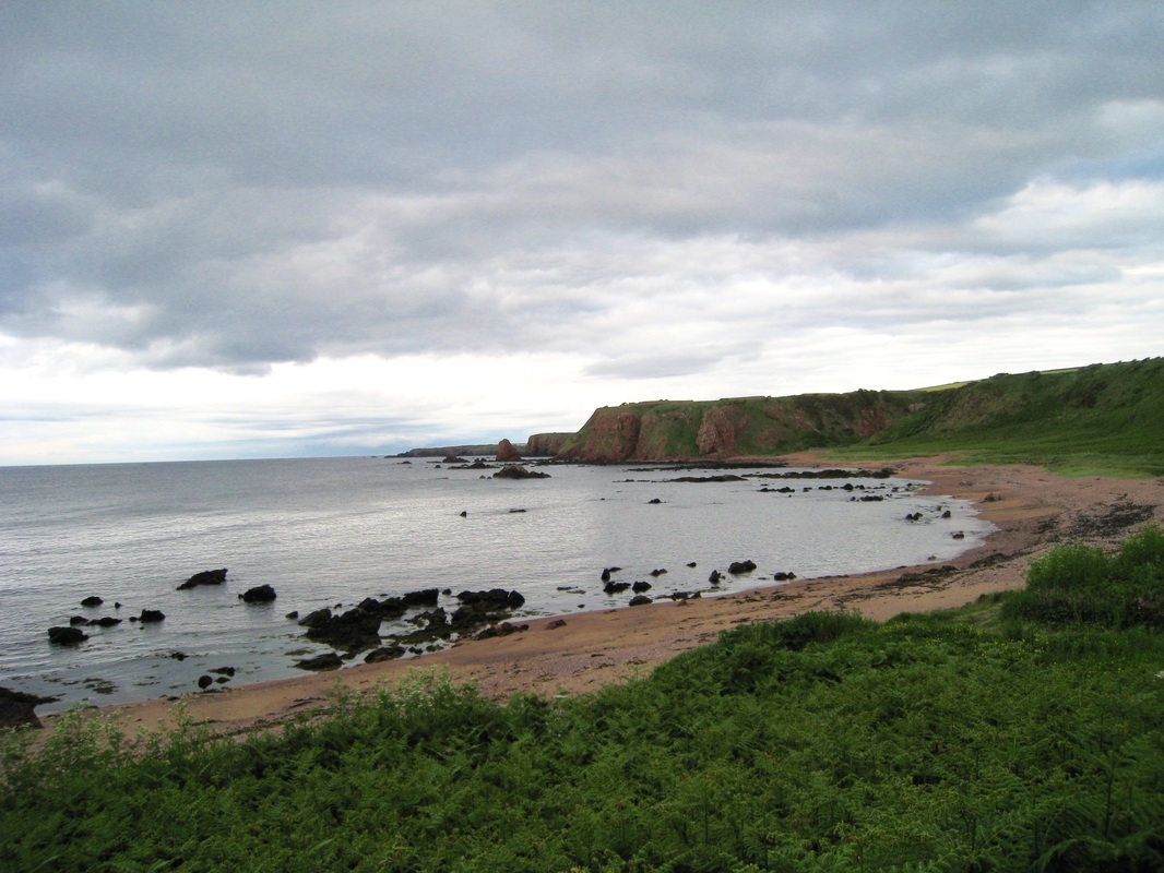
The route here moves up on to low-level cliffs for the walk, sandwiched between the cliff edge and the railway line on our right, round Redshin Cove to Cocklawburn Beach. The constantly changing light, created by rapidly moving cloud formations, presented us with peculiar light and shade perspectives that it was difficult to capture on our basic digital cameras. Where is the SLR Olympus with black and white film when you need it? Lying in the bottom of the wardrobe, of course! 
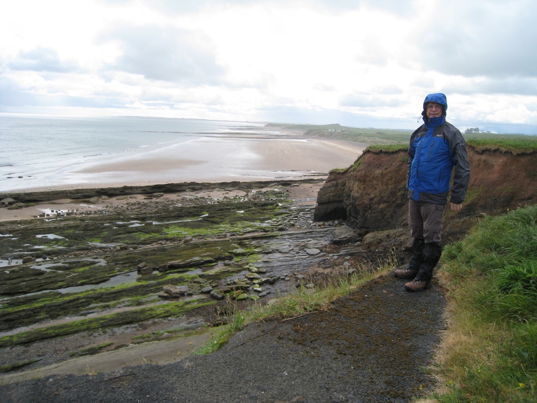
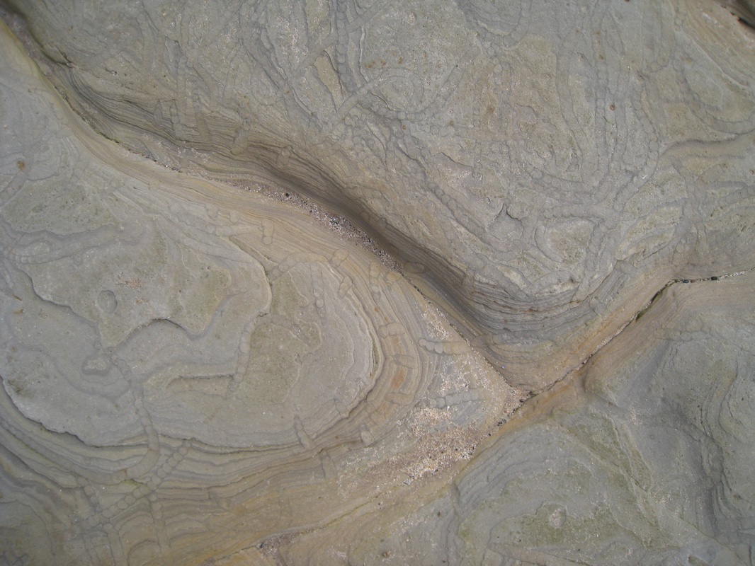
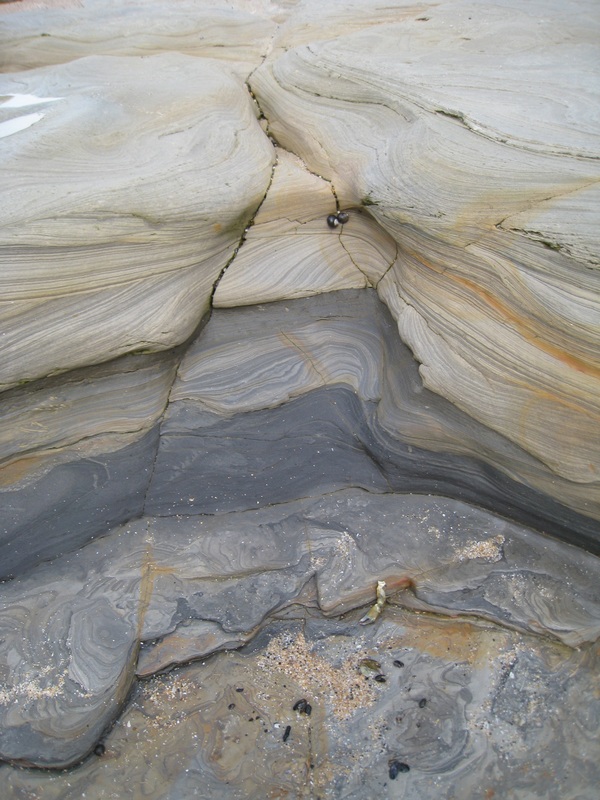
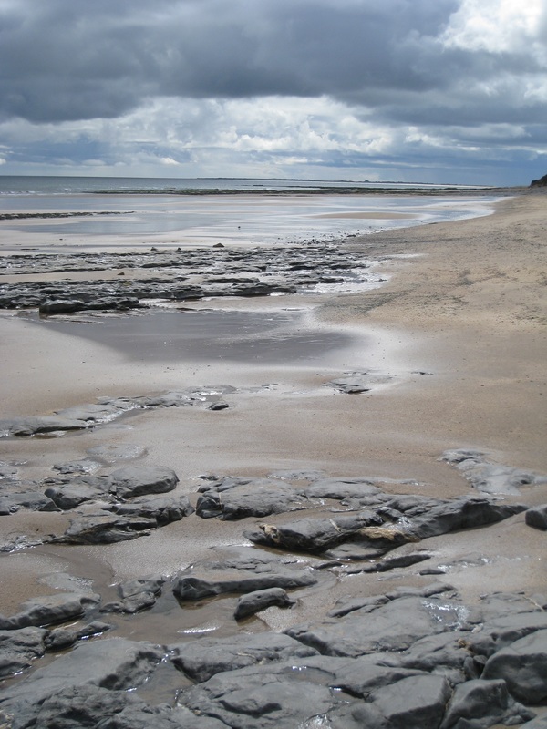
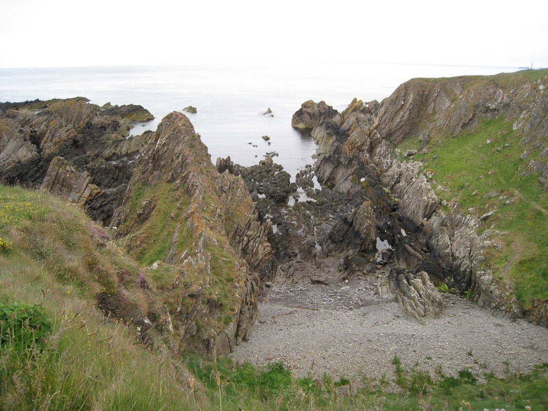
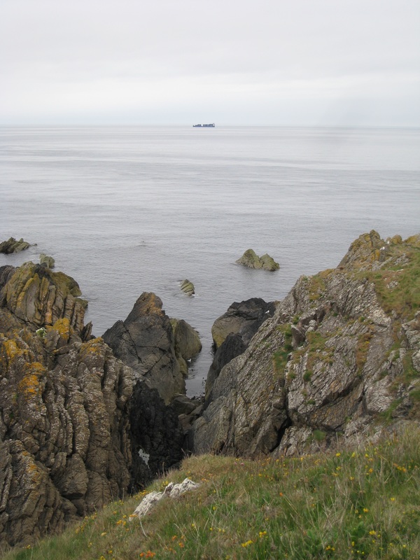
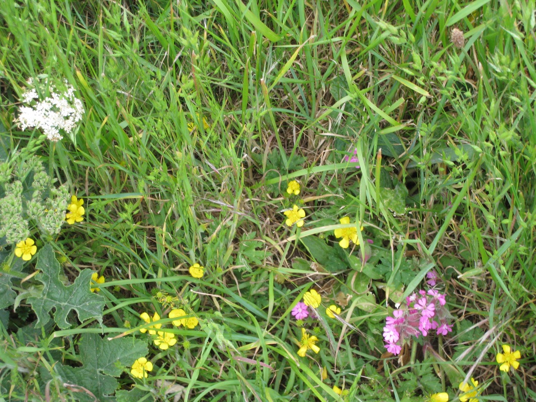
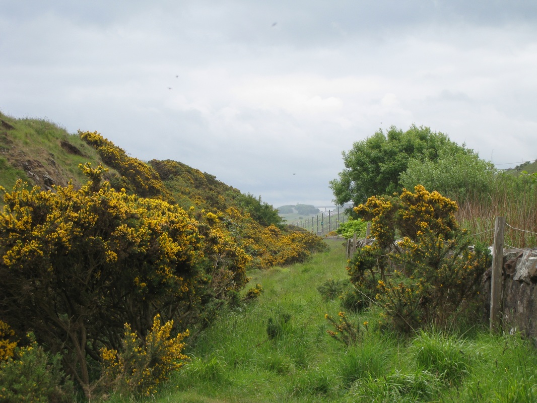
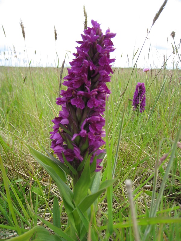
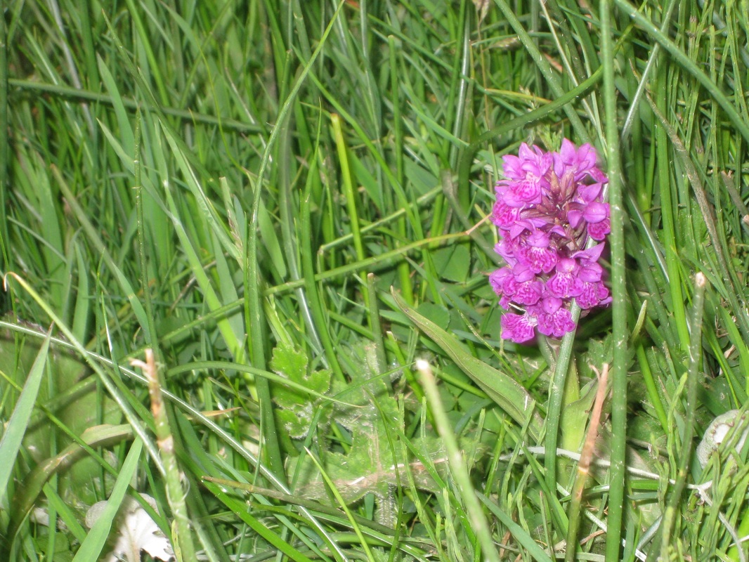
Just before Cocklawburn Beach, we moved on to a tarmac road that would take us down to the beach. We moved off that on to a secondary road that we hoped would be a short cut to the sands but it just suddenly ended, poking out over the beach with a considerable wee drop for the unwary. You would not want to be hammering down here on your bicycle at night! Not for the first time on our adventures, we went into reverse and back up the road to follow our initial route down to the sands. It was nice to see here the wild version of cranesbill growing in big unruly patches. The rock plates on the beach were a lovely mixture of colours and whirls and we found some where you could clearly see the fossilised remains of what we presume to be seaweed. 
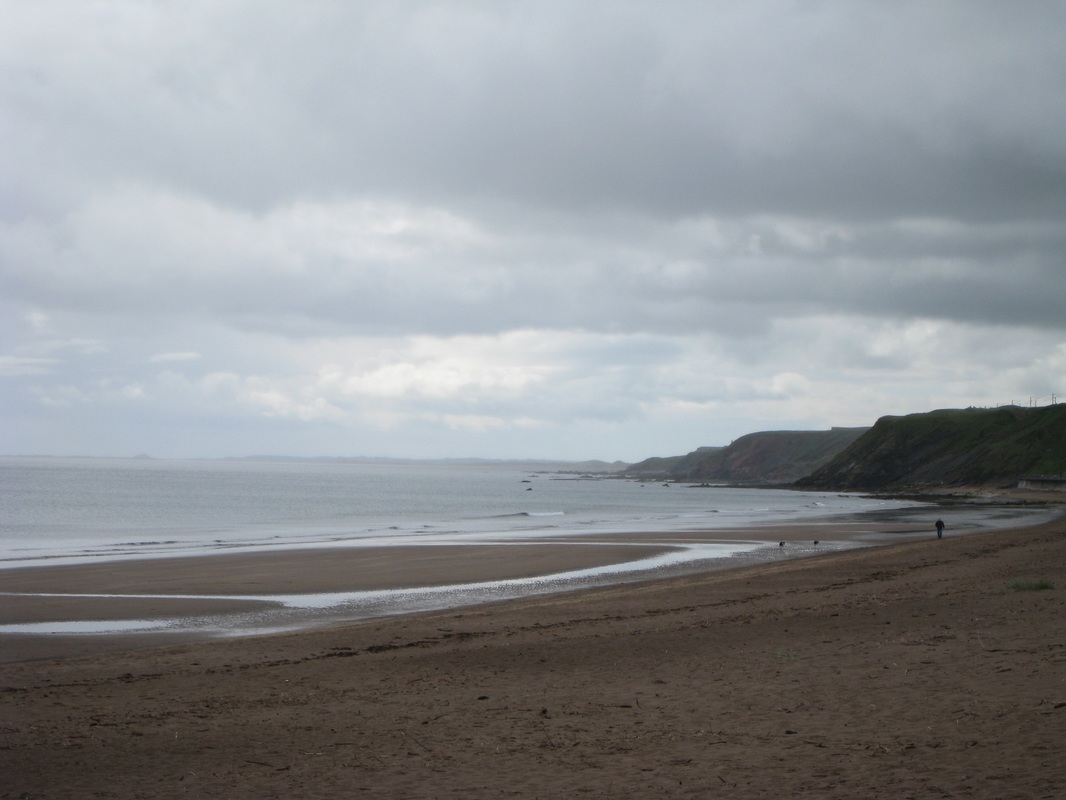
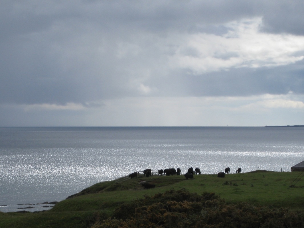
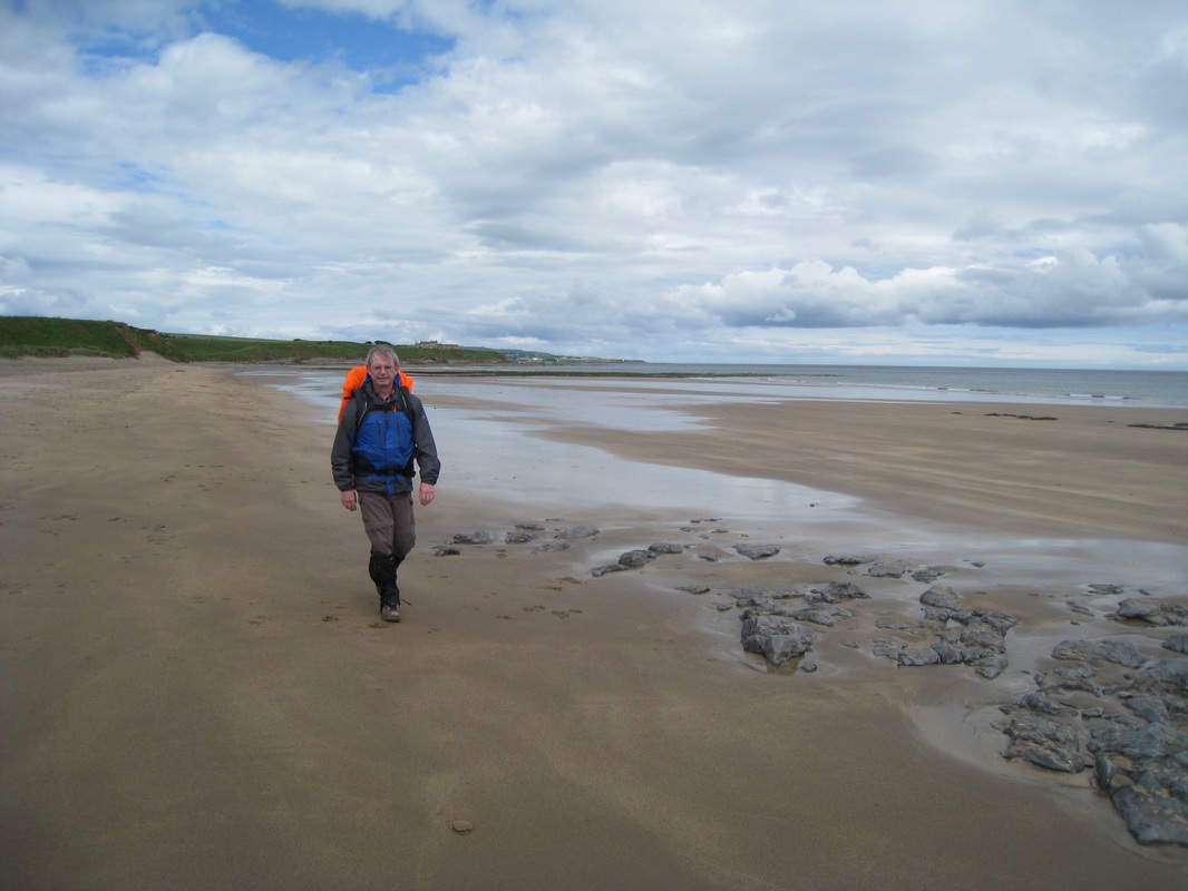
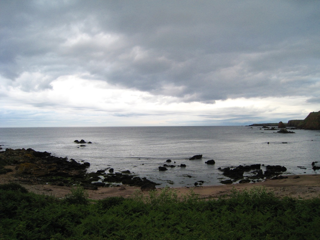
As we round the cove, the horizon to the south of us opens up and we have our first glimpse of the Holy Isle, lying low in the water and wearing a fine grey cloak of mist. Even from a distance of three or four miles we can see the constant stream of traffic, buses, cars and cycles moving slowly up the causeway as pilgrims come to bear witness. From our position on the headland we can look along the length of Cocklawburn Beach to Cheswick Sands and Goswick Sands beyond. 
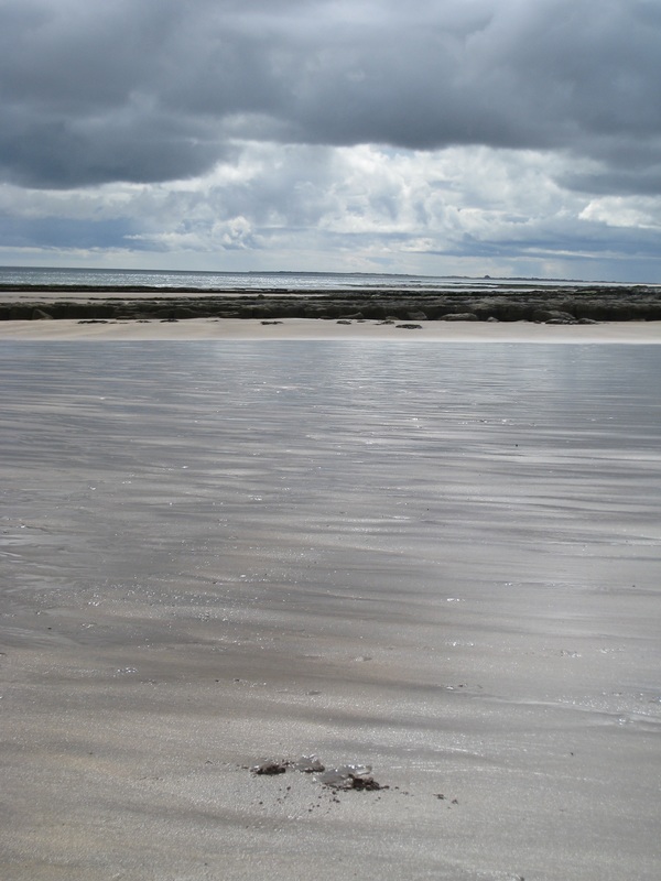
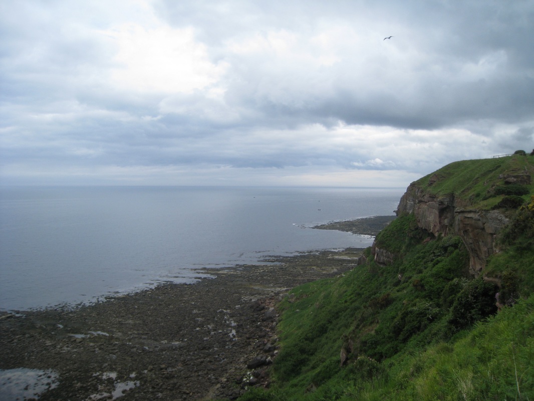
The play of thick, angry clouds; constant changes in the intensity and direction of light and the glint of it on the moving water created a brilliant black and white kaleidoscope for us at the end of a day that had been fairly dreich weather-wise. It lit up the beach as we walked along it and took the mind off feet now weary after three days of walking. With a long drive home it was always planned that this would be a short day’s walking and we were to stop short of the causeway and cut up to Haggerston Castle to catch a bus back to Berwick. When you are walking a beach, you cannot see beyond the dunes and there are no signposts indicating where you are in relation to the settlements that lie further back from the coast, it is difficult to know when to leave the beach. Following a conversation with a local man on the beach, we went through one of the breaks in the dunes, believing we were heading for Goswick. Unfortunately, we had left far too early and were still only in the vicinity of Cheswick. We ended up having to go back on to the Berwickshire Coastal Path that runs behind the dunes to get to where we wanted to be. Eventually, we followed a long and weary road out to and through Haggerston Castle and reached the holiday camp just as the heavens opened and the rain teemed down. Despite the fact it was a relatively short walk today we were both now tired and just a teensy bit grumpy and ready for home. It was a wait of over an hour for a bus, so we opted for a taxi and wet, weary and with sore feet we headed back to our car at Berwick upon Tweed.
0 Comments
Following a fish tea last night, we retired to one of the best B & B’s we have stayed in; The Anchorage in Eyemouth. Janice and her husband Vernon could not do enough for us, even going so far as to make sure we had up to date weather reports for the next couple of days. While it was to be cloudy and overcast it looked like we might avoid rain. Renewed by a good night’s sleep and, fortified with one of Janice’s lovely fresh fruit breakfasts, we were early on the road and heading for the harbour to pick up where we had left off the night before. As well as having a long fishing history, the town of Eyemouth and the surrounding coast have an historical reputation for smuggling. The sandstone cliffs with their many caves and inlets lent themselves to this nefarious trade and there is no greater monument to the success of the trade than the intruiging Gunsgreen House down by the harbour. This beautifully proportioned house; said to have been designed with the smuggling trade in mind, contains many secret stashes and hideaways where the content of the illicit trade could be hidden from customs officers. Initially commissioned and owned by John Nisbet, merchantman and smuggler, it is today both a museum and holiday accommodation. Another little gem that I came across in the town, unfortunately when I did not have my camera with me, is the aptly named Church Watch Tower. This listed building, built almost entirely from old and fallen down gravestones, was manned to deter body snatchers from nearby Edinburgh (think here William Burke & William Hare) operating in the local graveyard, acquiring cadavers for dissection. Crossing the harbour and passing by Gunsgreen House we diverted from the Berwickshire Coastal Path for a short time to climb up on to the walkway that runs from above the point at Nestends along the inside (landward) edge of the local golf course. From Nestends we could see across the harbour to the site of the old fort (built 1547) on the promontory and, beyond to the cliffs we had walked last night by Coldingham. Half way along the walkway we re-joined the Berwickshire path to walk along the seaward side of the golf course and followed the cliffs almost all the way to Berwick upon Tweed. In places, the cliffs on this section will be over three hundred feet high with views north and south pretty and at times outright majestic. For the most part, the cliffs that we have walked on this adventure have been sandstone. It lends itself more easily to erosion than other rocks and this has resulted in some of the numerous rock features, caves, spindles, stacks, etc., that we have seen. The coastline from Eyemouth south to Berwick is littered with such features, albeit not all necessarily sandstone. There is, for example, some sections that are chalk / limestone plate that offer very specific habitats for flora and fauna. Part of the difficulty in completing the mileage we set each day is that we spend so much time admiring the scenery and taking photographs and we don’t realise how much it eats in to our day. It’s never enough to have a quick look, some of us like to sit and idly contemplate it before completing any serious mileage. On the section between Eyemouth and Burnmouth Bay, there are any number of rock formations to grab your attention. The sculpting of the rock testifies to the savagery of the sea that has cut them. Their natural beauty is undeniable; but the latent strength and intensity of the sea in its never-ending battle with rock is also captivating, overwhelming and at times can be frightening. Much as when one looks at the night sky and ponders the insignificance of man, so too does contemplation of the power and cruelty of the sea on the physical and human environment encourage you to conclude how puny we are in the face of it. The coastline is constantly changing. Like footsteps in the sand, all evidence of our having been here will be gone by the morrow, if not in the hour. As we sleep, so the sea fashions the shores of our life anew! We enjoy a leisurely stroll along the cliff top on a clear grassy path. While the sky behind is mottled and grey, to the front there are elements of light that offers promise. The dull, hazy sun glints on the remaining dewdrops on the late spring flowers. Our soundscape is the crash of the waves, the insistent buzz of the bees and, occasionally, a still silence. Approaching the old village of Burnmouth, we are forced inland by the large gully that runs into Burnmouth Hill and right up to the edge of the railway line. As we exit, we find a fine stand of pretty, old fashioned, Scots thistles. From here and on down the steep hill road in to the village, wild and cultivated flowers grow in abundance in the verges. There are myriad beautiful scents in the air. As we step through them they are like the individual notes of a spring sonnet. In the background, the hum of the hover fly’s wings fills in the spaces between the rustles of the denizens of the long grass. Where to look? Where to stop and spend precious time having a ‘Wordsworth’ moment? Or to enjoy the short contemplation of Nature that Coleridge (Frost at Midnight) called the ‘Great Universal Teacher’. Burnmouth is the first village in Scotland of any substance that you come to when you cross the border on the East coast. It lies just off the A1 and the main East-coast rail line runs along the side of the hill. As a village, it appears insubstantial, partly because it is small, but also because it is spread out below, above and on the side of hill. The communities below the top of the hill are split in to Lower Burnmouth, Partanhall, Cowdrait & Ross. The community on top of the hill is known as Upper Burnmouth. With the tide out, the harbour (Lower Burnmouth) appears bereft, abandoned by the fishing fleets of old. On the harbour wall is another of the Jill Watson, bronze memorial plaques to the victims of the 1881 East Coast fishing disaster. The loss of live for each coastal community following this disaster was Eyemouth 129; Burnmouth 24; Newhaven 17; Cove 11; Fisherrow 7 and Coldingham Shore 3. Following the disaster, a sum of over £50,000 was raised for the families and survivors, over £4.5 million in today's (2015) money After a quick toilet stop we left the village via a steep, stepped path accessed behind the houses at the south end of the village (Cowdrait). Rising steeply and ziz-zagging up the path, we are soon back on to the cliff top and heading for the border with England and beyond that Berwick upon Tweed. Towards the top of the brae we pass the last of the four communities of Burnmouth, Ross, now reduced to five or six houses. Our time on the cliff edge is short as our route cuts inland behind a dyke-like system running along the edge of the main coast railway, probably made up of the waste from the rail construction. Occasional breaks in the dyke system allow us to scan the skyline in search of the peregrine falcons that are known to nest here. Estimated to reach 180 miles per hour as it swoops on its prey, a blow from the peregrine breaks the neck of its victim, usually grouse or pigeon’s, in one strike. We had no luck in trying to see one! On a break in the hill to our left, by Lamberton Beach, we see clearly the ruins of what is known as the Smugglers Bothy. Built about 1760 by another infamous East Coast smuggler, one John Robertson of the parish, in later life it was used as a salmon fishery building. Robertson used to smuggle tea using the bothy as a stop over point before moving the goods onward via a nearby inn on the North Road. Robertson is reported to have become quite wealthy and he eventually took over the mortgage of Gunsgreen House in Eyemouth (mentioned earlier), which then became the focus for his smuggling. At various points along the foot of the dyke we noted a number of small mounds that we learned were the anthills of the yellow meadow ant. The actual nest is underground and the function of the dome-like structure is to manage the temperature in the nest. Also to be found along this route, particularly at the beginning of the dyke at Catcairn Bushes, is the relatively rare, small blue butterfly, which prefers kidney vetch (small yellow flower) as its main habitat. The habitat here on top of the cliff is chalk / lime grasslands that a number of the wildflowers love. There is an interesting relationship between the yellow ants and the small blue butterfly in that the ants, attracted by a secretion, bury the larvae of the butterfly, thereby protecting it from birds, etc. Just after passing Maryfield, the cliffs widen by the side of Marshall Meadows Bay. As we approach the area from the north we see two or three wonderfully situated picnic tables on the headland and cannot resist stopping here for lunch. Wildly isolated and serene, the views to north and south were stunning and if there are better situated tables in Scotland tell me where they are? Following lunch we walked round the headland to admire the views south before heading back up to Berwickshire path again, back along the side of the railway line. We knew we were very close to the border at this point and within ten or fifteen minutes we were doing our tourist act and posing by the border posts. The border post is also marked on the railway line but the Scotland side of the sign has broken off and not yet been replaced. Shortly after Marshall Meadows Bay we moved closer to the cliff top again where were rewarded with great views in to the caves at the Needle’s Eye. On the grasslands above the caves there numerous early purple orchids that were a contrast to the common pink orchid we are more used to seeing in the uplands when we are hillwalking. At the edge of the path here we passed long swathes of white and yellow ‘marguerites’ swaying gently in the breeze. Here and there, poppies of various hues of red and orange bobbed merrily at the field margins. On the steep slopes, bright patches of thrift, or sea pink marched lemming-like over the cliff edge at Brotherston's Hole. Shortly after the Needle’s Eye, the path follows along the edge of the Magdalene Fields golf course, which is in two parts, the other part being in the town. There are numerous cave systems underneath the cliffs by the golf course and, if you look carefully at the photographs of Brotherston’s Hole and the sea pinks, you will see bare patches of brown earth, evidence of recent soil erosion. Both together may lead you to think they might not have a golf course for much longer. It is a short walk from Brotherston’s Hole, round the holiday camp and down on to the ramparts of the seaward side of the town. A walk along here reminds you that this was a heavily fortified town at one time and was under siege on numerous occasions in Middle and later ages. To make it easier for ourselves tomorrow, we followed the rampart round the town passed Meadow Haven, on to the banks of the Tweed, up to the bridge crossings where we called it a day and headed off to find our accommodation for the night. At three to four miles, depending on starting and ending points, St Abbs to Eyemouth is, in my opinion, one of the prettiest walks on the East Coast of Scotland. For us it was unfinished business, after we had to abandon our last walk when I acquired serious foot blisters on the soles of my feet. For Joanna in particular it had been galling to leave the field when the Scottish / English border was only about twenty miles away. This stage and the next from Eyemouth to Berwick upon Tweed would finally see us on English soil. To get to the start line for tonight's short walk, we left Kirriemuir at midday Friday and drove to Berwick upon Tweed where we parked the car on a street that lay on the bus route to St Abbs. The local bus service took about forty-five minutes and that did not seem particularly long. At St Abbs we quickly made our way to the point where we had finished the last walk and headed along the high street towards the cliffs and back on to the Berwickshire Coastal Path. The path offers two choices: take the route going inland to visit the village of Coldingham or stick to the cliff route over St Abbs Haven, which was the route we took along a surfaced path. From the cliffs there are clear views over to the rock formation known as the Ebb Carrs. The location is popular with divers as there are a couple of wrecks on the sea floor accessible for investigation. The wrecks include the ‘Vigilant’, an Eyemouth trawler that ploughed into the rocks on 30th September 1976 and, the ‘Alfred Earlandson’, a steamship that ran aground in fog on 2nd October 1907 with the loss of all hands. It is a short hop, skip and a jump along the cliffs from St Abbs, formerly known as Coldingham Shore, to Coldingham Bay and beach, which is popular with surfers. The village of Coldingham lies nearby, back off the shore. We were walking in the early evening and at the start of the walk the late sunshine added a golden hue to the land and seascape that we took time to stop and admire. Dropping down to the beach at Coldingham via steep steps, we enjoyed a leisurely walk along the edge of the sea, taking time to admire the fine set of beach huts sitting on the shore. The glass house seen just above the huts and built on the site of a previous beach hut, has been controversial locally, seen as being out of character with the local area. It is currently on the market for a wee £1.25 million. Take a wee look at the link and see how the other live. Look out the penny jar if you would like a wee pied-a-terre with sea views! At the end of Coldingham Bay we stayed close to the water line approaching Linkim Shore. The bay here is where large sailing ships, when we had them, waited for wind and tide to take them safely into Eyemouth Harbour, just around the headland. A sand and pebble beach, there are interesting rock pools here that would engage children (and adults) for hours. All along the St Abbs to Eyemouth coastline there are beautiful red sandstone cliffs and on the shore numerous sea stacks. While not as dramatic or as high as the cliffs approaching St Abbs from the north, they have a quietly stated grandeur of their own. At the end of the shore we moved back up again to the low cliff-top for the final mile in to Eyemouth. The grassy path offered good views back towards Coldingham Bay. Hidden among the grass verges we found wild orchids growing. I don't know what is about orchids but whenever you find them it feels as if you have found something very special. As we crossed the Linkip Shore, the sea stack and headland at Linkim Kip were dramatic against the southeastern skyline. Up and over the cliff just above the point known as 'Hairy Ness' and we were soon dropping down on to the beach at Eyemouth where we felt able to allow ourselves to think of the fish supper and mushie peas awaiting us in the town. |
Archives
March 2022
Categories
|