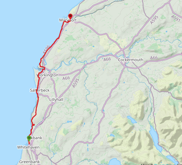
Route Map
 St Bees Railway Station
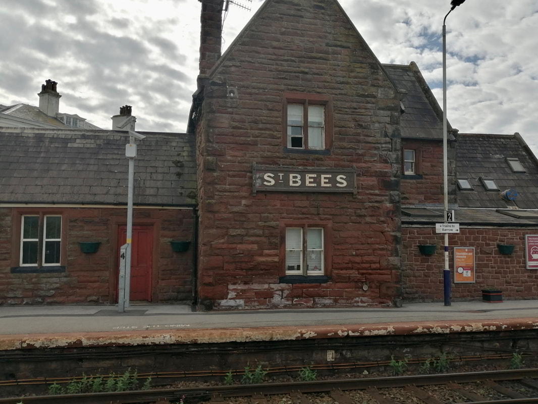
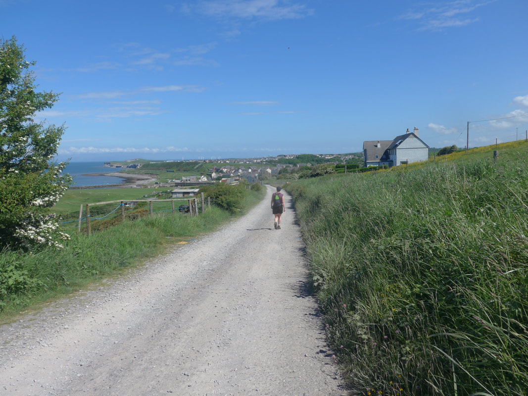
 Day two of our adventure started with a short train journey from St Bees to the start of our walk at Whitehaven. The walk, part of the England Coast Path (ECP) network, is mainly completed at low level, often following the line of the railway line. However, just after the village of Parton and again just after Lowca, there are climbs up on to the moor and through the windmill fields, reaching a height of over two hundred and sixty feet.
The weather forecast was fair and we looked forward to some nice views from the hilltop. As we were able to use the railway for our return journey, we were again able to walk with just day packs consisting of waterproofs, lunch and snacks. There is a small supermarket next to the railway station at Whitehaven where you can purchase food and drink.
The weather forecast was fair and we looked forward to some nice views from the hilltop. As we were able to use the railway for our return journey, we were again able to walk with just day packs consisting of waterproofs, lunch and snacks. There is a small supermarket next to the railway station at Whitehaven where you can purchase food and drink.
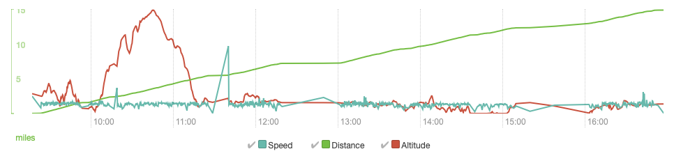
Speed, distance, altitude
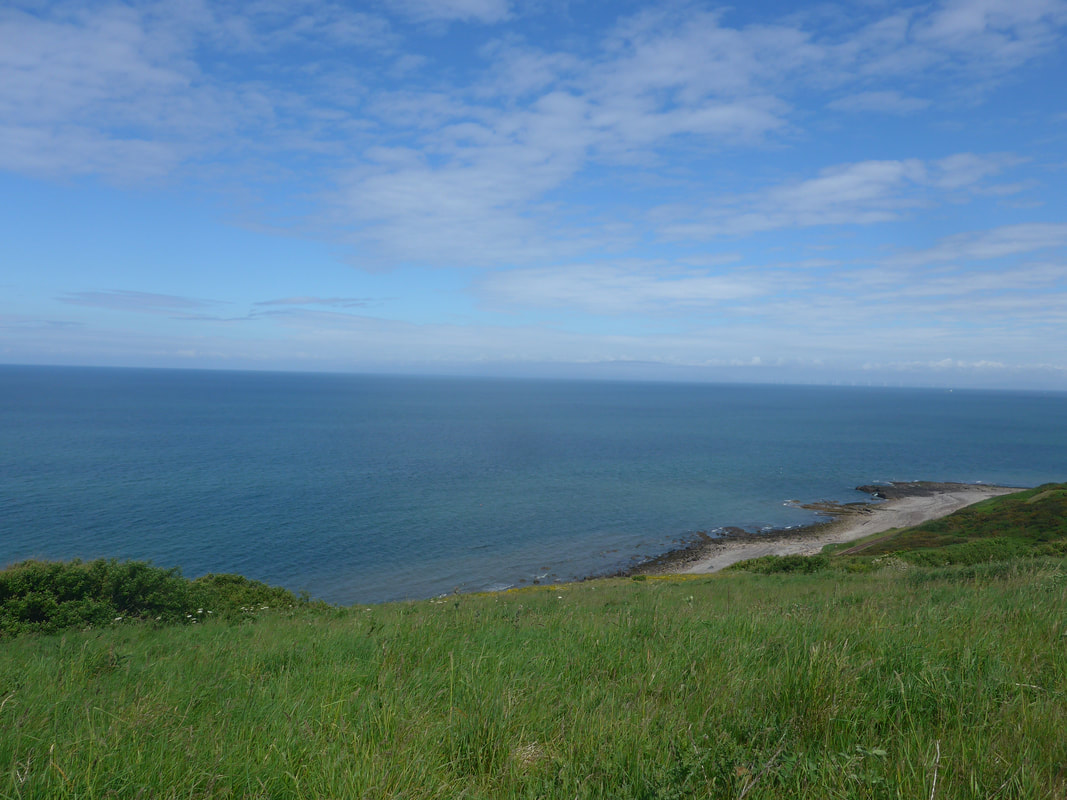
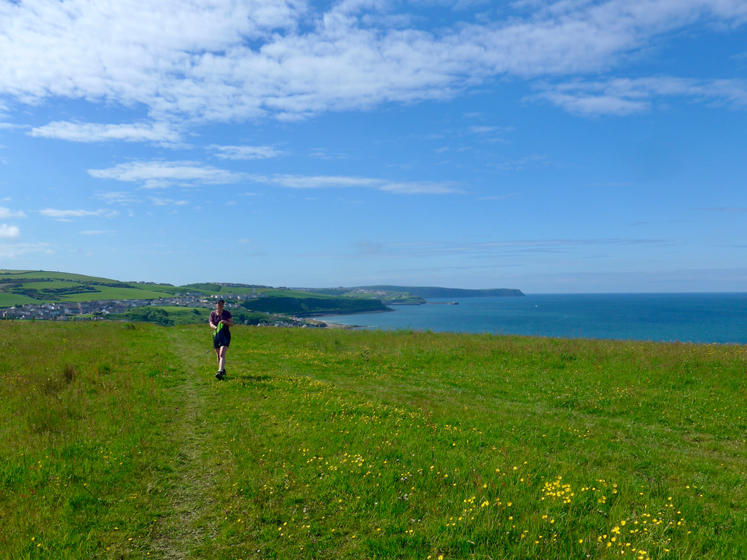
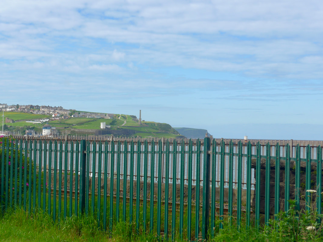 The Beacon & North Head
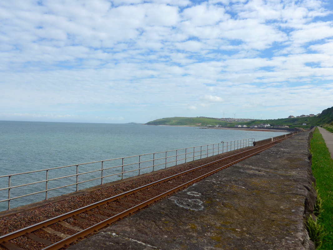
 The early part of the route follows a path on the landward side of the railway line. Once clear of the town there nice views (albeit over a fence) back to Whitehaven, looking over to the Beacon and beyond to North Head at the beginning of Saltom Bay.
The tide was high with the water lapping up against the foundations of the railway. It reminded me of the railway line at Dawlish and they experience some of the same environmental problems. The walk on the landward side continues until Parton where the route crosses under the railway line via a subway and you can scramble down on to the pebble beach across the rock sea defences. At Parton Bay there is a sandy beach (if the tide is out). Above the bay there was a Roman fort, built when Parton was a port town. After crossing the beach there is a footbridge to cross the water feature Lowca Beck, before re-crossing the railway line to start the first climb of the day, following a footpath on to the hill above Lowca Point.
The tide was high with the water lapping up against the foundations of the railway. It reminded me of the railway line at Dawlish and they experience some of the same environmental problems. The walk on the landward side continues until Parton where the route crosses under the railway line via a subway and you can scramble down on to the pebble beach across the rock sea defences. At Parton Bay there is a sandy beach (if the tide is out). Above the bay there was a Roman fort, built when Parton was a port town. After crossing the beach there is a footbridge to cross the water feature Lowca Beck, before re-crossing the railway line to start the first climb of the day, following a footpath on to the hill above Lowca Point.
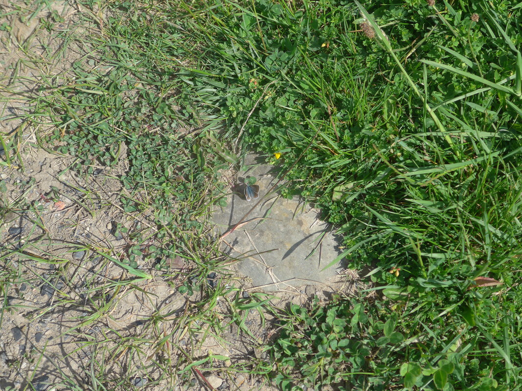
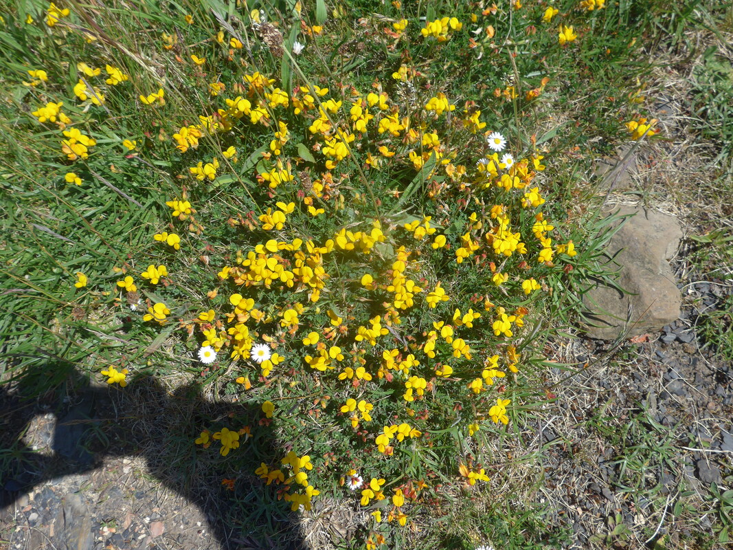
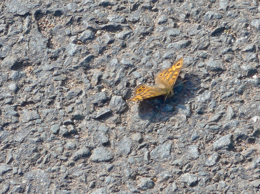 Wall Butterfly
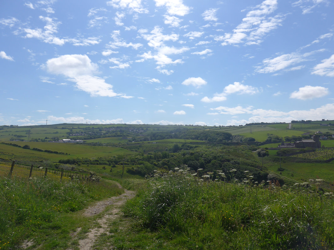
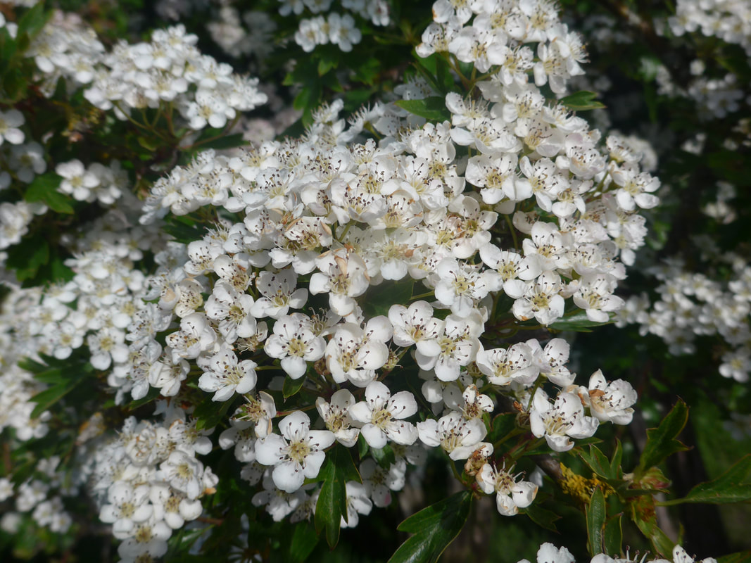
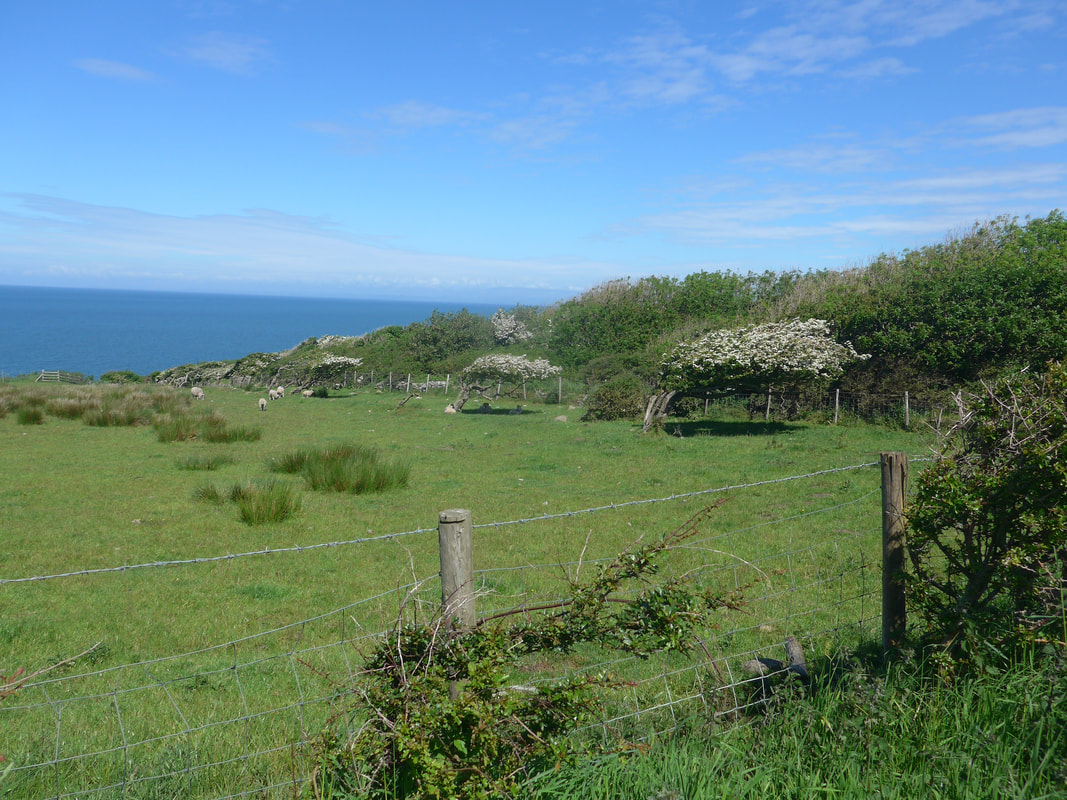
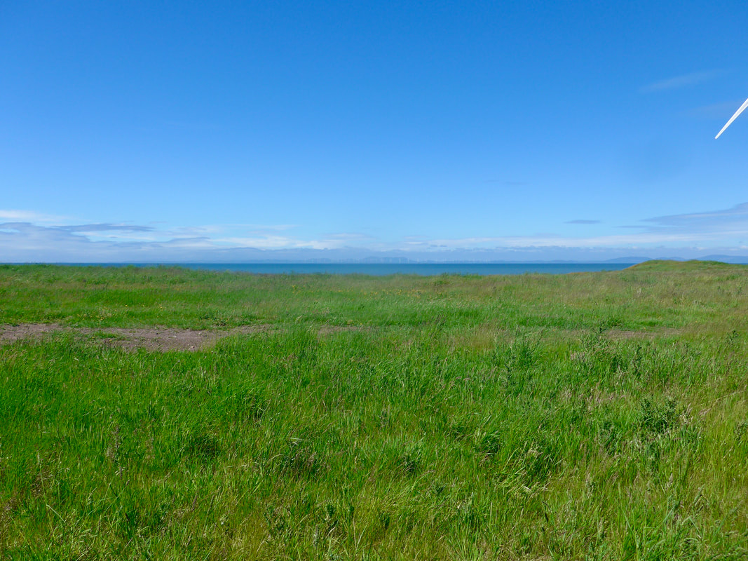
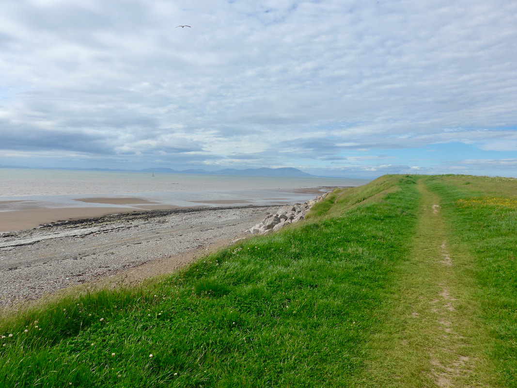
 The rural sections of the route, particularly when you are up on the higher hills, are just sublime. From the beaches there were lovely views across the Solway Fifth to the Galloway hills which were just lightly covered in enigmatic Celtic mist. On the moor above Lowca Point there was a nice mix of wildflowers and wildlife. Entertainment was provided by the call of the Stonechats and the thrilling, trilling songs of the many Skylarks flying above the moors, as well as the flitting butterflies among the wild flowers.
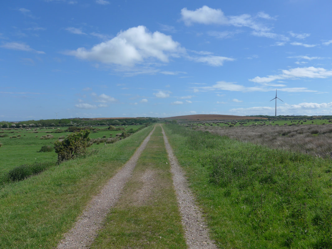
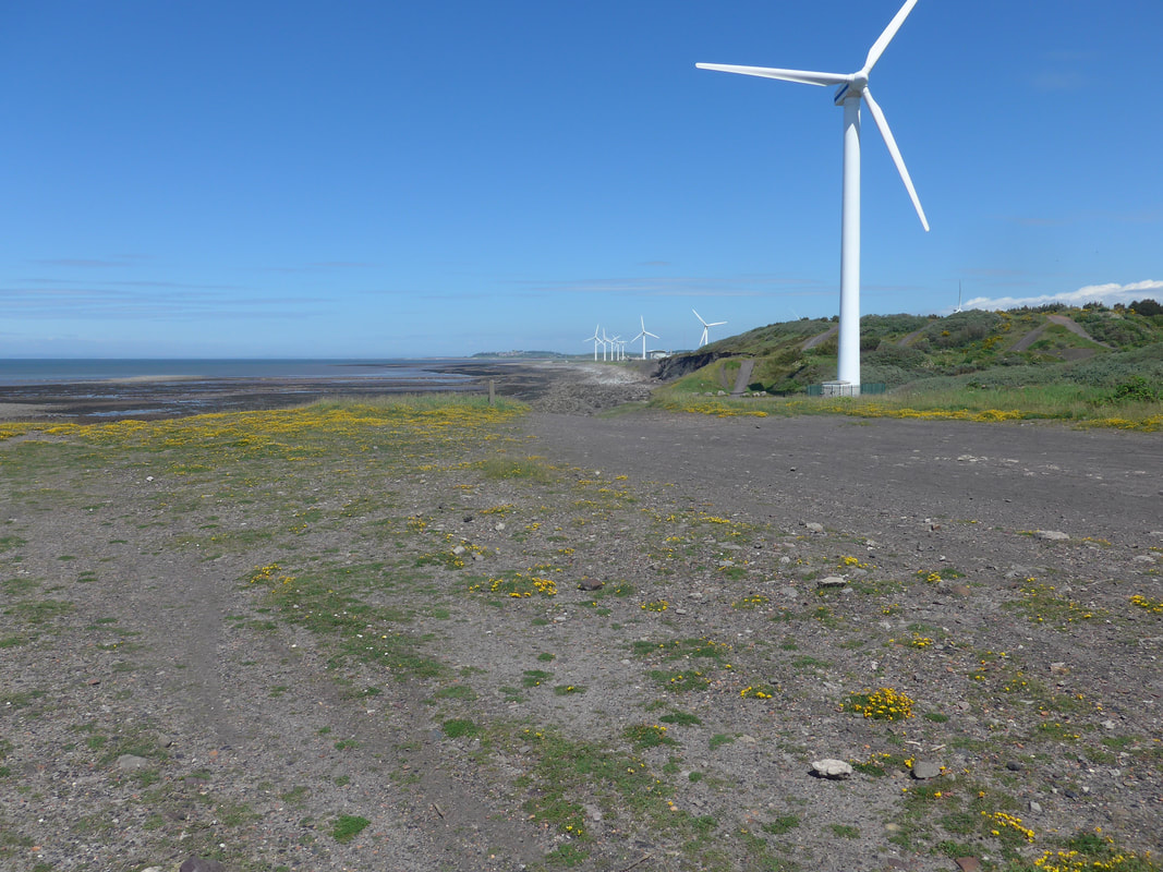
As you enter the Lowca Wind Farm you are at the highest point of the day and the views all around are excellent. The quality of light was exceptional and blue of sky and sea bright and vivid.
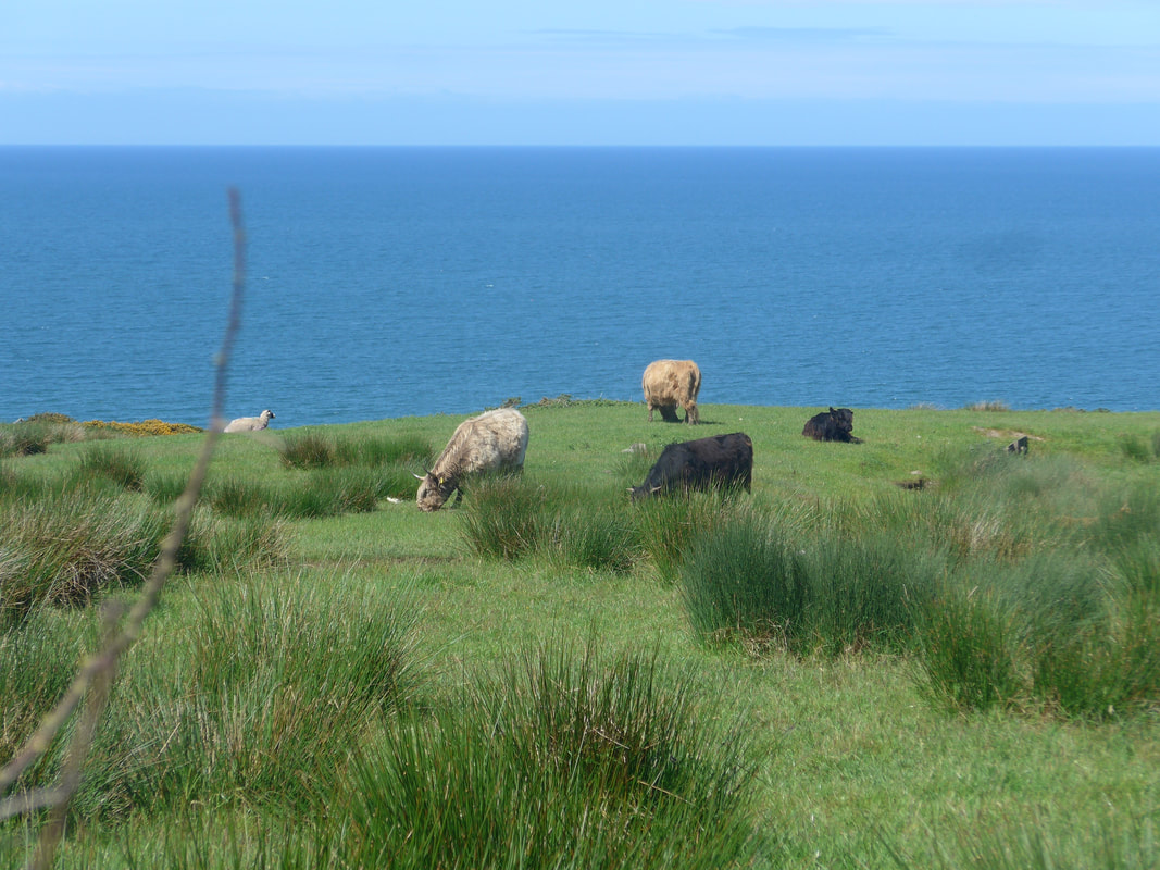
Initially walking on a grassy path, you are soon walking on an old, broken tarmac track that becomes a track. There was a herd of what looked like a very old breed of cattle grazed the moor. Looking at the shape of the trees on the cliff side you were in no doubt about the direction or the strength of the winds hereabouts!
Initially walking on a grassy path, you are soon walking on an old, broken tarmac track that becomes a track. There was a herd of what looked like a very old breed of cattle grazed the moor. Looking at the shape of the trees on the cliff side you were in no doubt about the direction or the strength of the winds hereabouts!
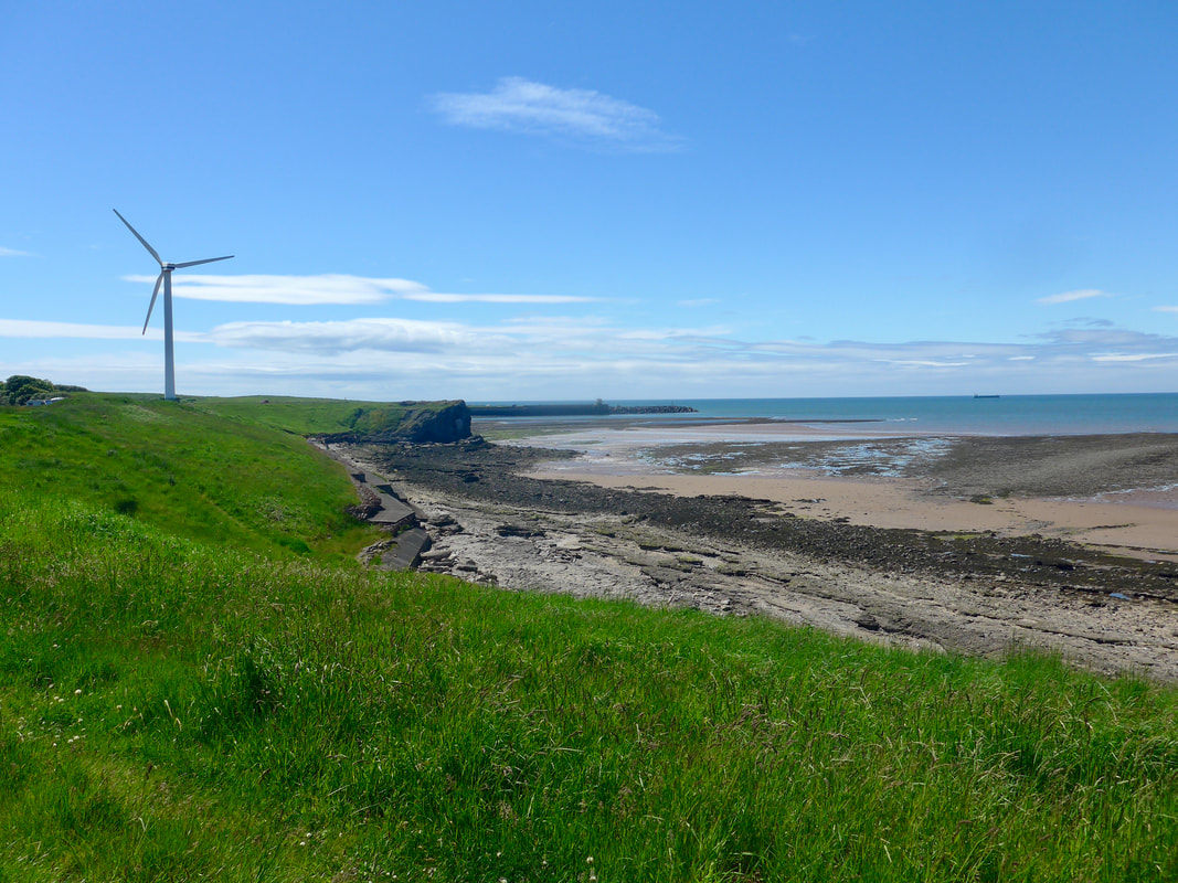
 Beach at Moss Bay
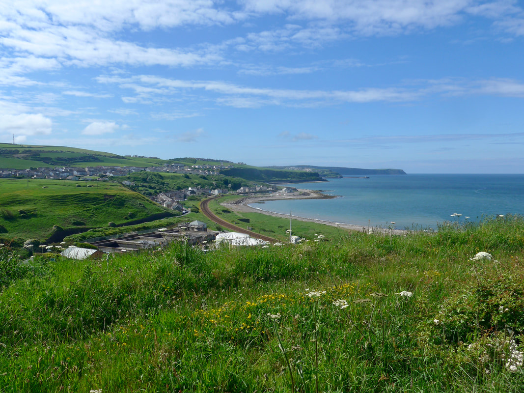
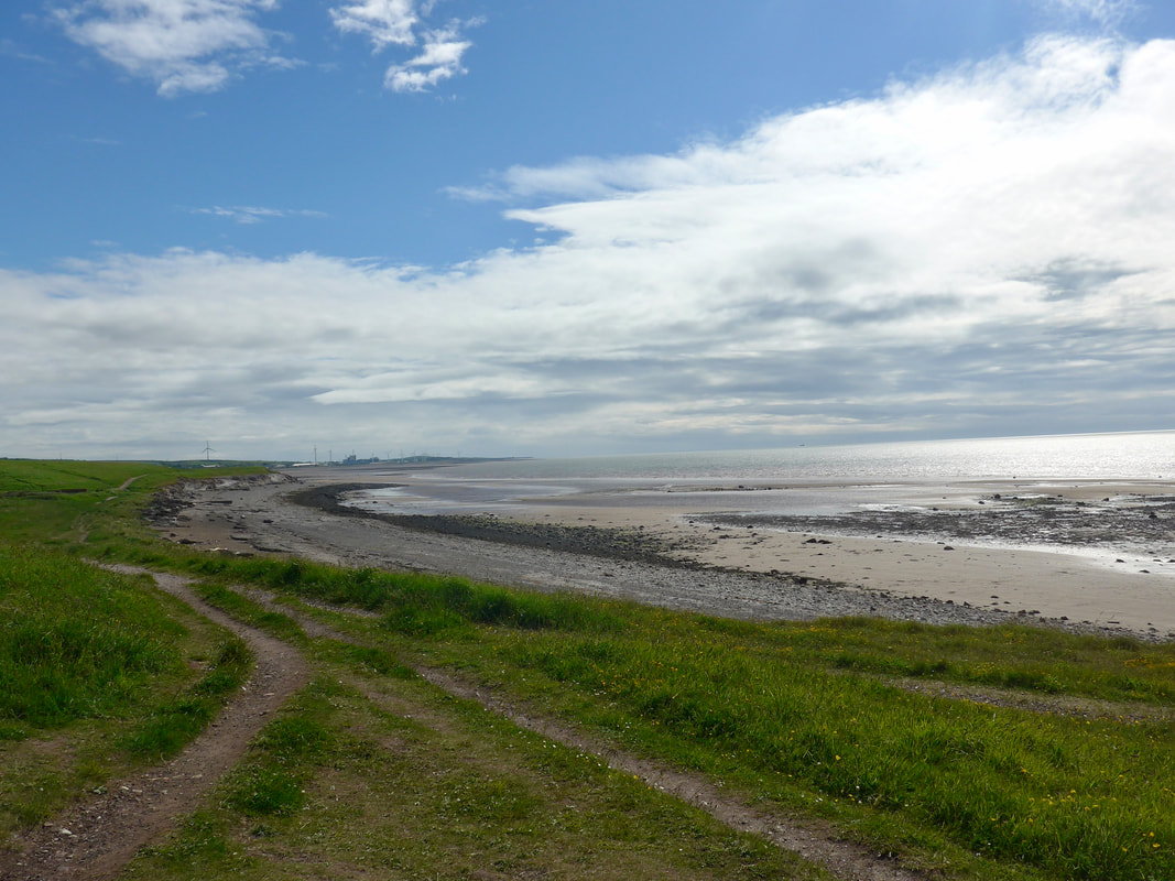
 From just below Distington the path starts to drop down to the village of Harrington. We saw little of the village as our route took us across a small green to and round the harbour area to follow a route along the line of the railway line. Walking on the beach at Moss Bay we had nice views back to the harbour and the headlands beyond. The beach was a mixture of small and larger stones which made the walking uncomfortable and we moved on to the grassy path that runs along the back of the shoreline.
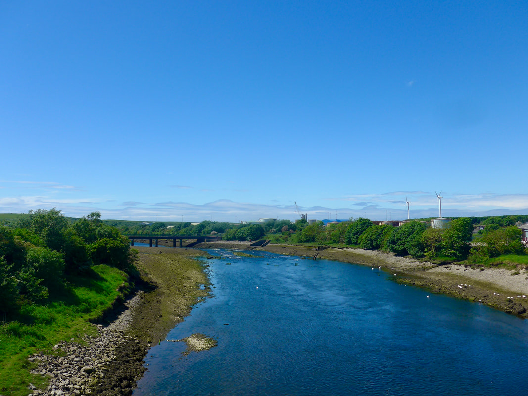
We had already been undecided whether we were going to try to walk the seaward side of the steelworks at Workington, unsure of whether or not there was a clear route through with work ongoing on the ECP route. This route passes through Derwent Howe, which is the slag heaps (man-made by-product) from the local steelworks. As a consequence we were looking out for a way to cross the railway line again to access a path to take us in to Workington. We had one 'red herring' where we took an underpass only to re-trace our steps but were more successful the second time. At this turn off there was a notice saying the path was closed anyway to enable works to be completed. While not a pretty route, the alternative was the most direct to the bridge crossing over the River Derwent. On the approaches to Workington we passed a KFC and surprised ourselves by going in for lunch. This was my first time ever in a KFC and I am unlikely to repeat the experience.
We had already been undecided whether we were going to try to walk the seaward side of the steelworks at Workington, unsure of whether or not there was a clear route through with work ongoing on the ECP route. This route passes through Derwent Howe, which is the slag heaps (man-made by-product) from the local steelworks. As a consequence we were looking out for a way to cross the railway line again to access a path to take us in to Workington. We had one 'red herring' where we took an underpass only to re-trace our steps but were more successful the second time. At this turn off there was a notice saying the path was closed anyway to enable works to be completed. While not a pretty route, the alternative was the most direct to the bridge crossing over the River Derwent. On the approaches to Workington we passed a KFC and surprised ourselves by going in for lunch. This was my first time ever in a KFC and I am unlikely to repeat the experience.
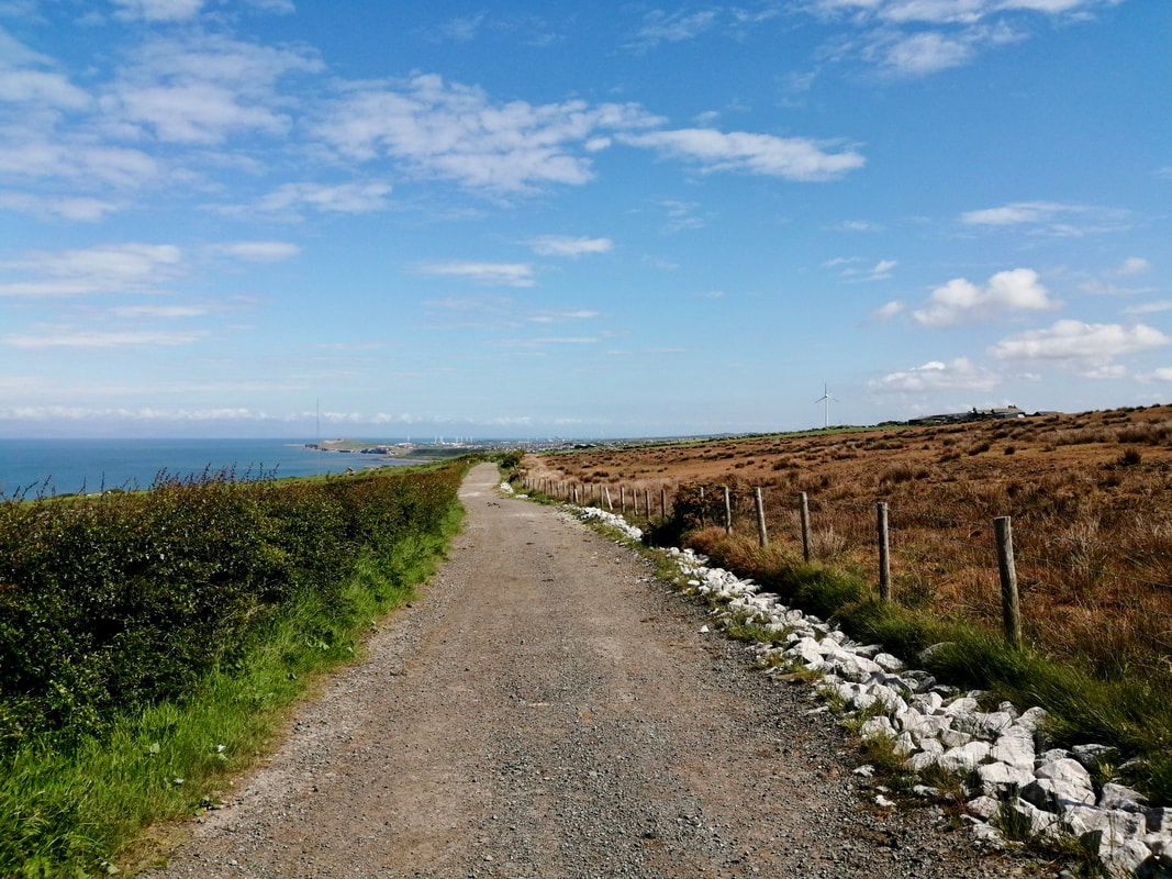
 Coast below Worthington Port
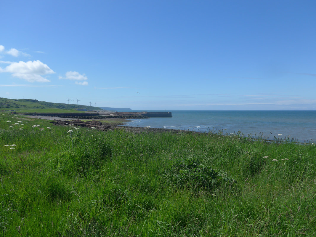
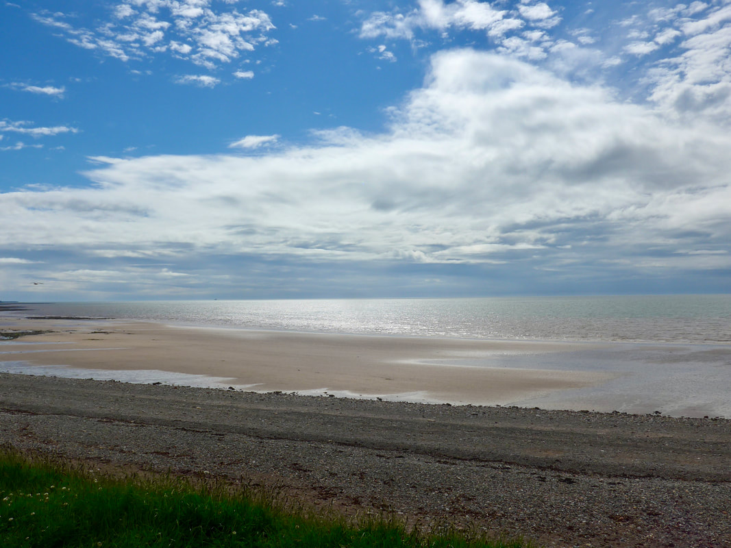
 After crossing the bridge, we followed the A596 Northside Road to the roundabout to go down to the coastal strip again. From the mouth of the River Derwent we enjoyed a nice beach section to Maryport. There is a nice little beach on the north side at the mouth of the Derwent, that is now sadly only populated by windmills. It was surprising to find such a lovely stretch without another person on it. I'm sure in a bygone era it would have been a popular swim beach and sitting on the concrete promenade you can imagine the laughs and calls of holidaymakers.
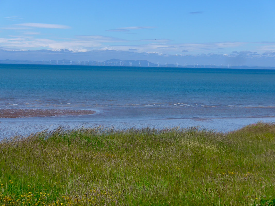
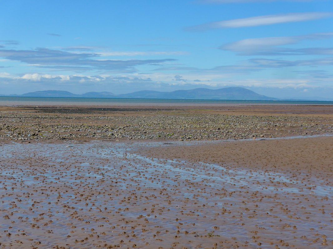
There was some walking on shingle, but it was limited because the tide was going out and we could access long sandy stretches. When the stretches of sand disappeared we picked our way along the shingle looking for the areas with the greatest degree of foundation. Walking in really nice sunny weather conditions, with just a light breeze off the sea, it was a nice section to walk. The views over the mouth of the Solway Firth to the far off Galloway hills were spectacular, the sky and sea the most amazing shades of blue and green. Sitting in the middle of the Firth the Robin Rigg Wind Farm captured the eye. At 180MW it is one of the largest offshore wind farms in the UK. It has 60 turbines, each producing 3MW of electricity.
There was some walking on shingle, but it was limited because the tide was going out and we could access long sandy stretches. When the stretches of sand disappeared we picked our way along the shingle looking for the areas with the greatest degree of foundation. Walking in really nice sunny weather conditions, with just a light breeze off the sea, it was a nice section to walk. The views over the mouth of the Solway Firth to the far off Galloway hills were spectacular, the sky and sea the most amazing shades of blue and green. Sitting in the middle of the Firth the Robin Rigg Wind Farm captured the eye. At 180MW it is one of the largest offshore wind farms in the UK. It has 60 turbines, each producing 3MW of electricity.
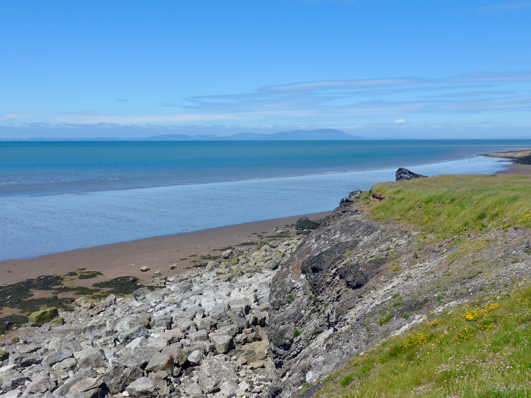
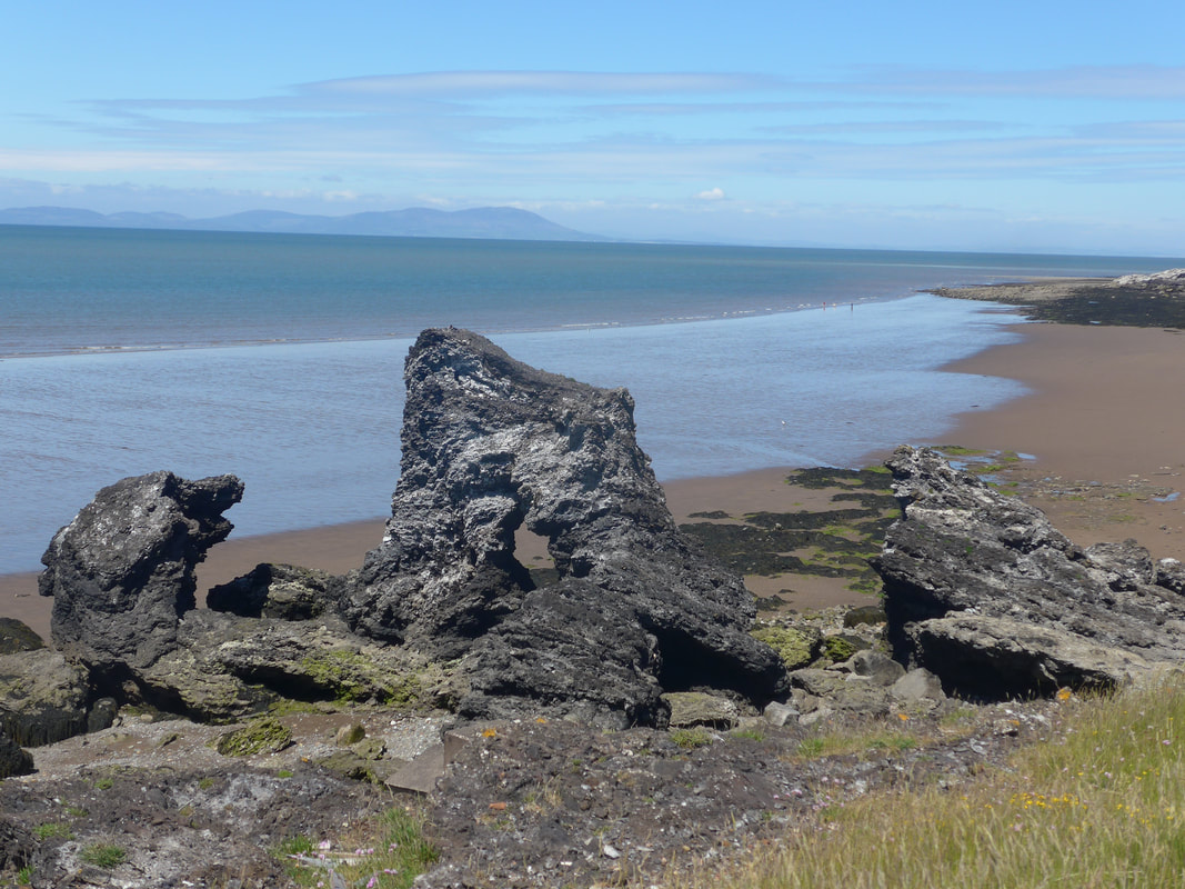
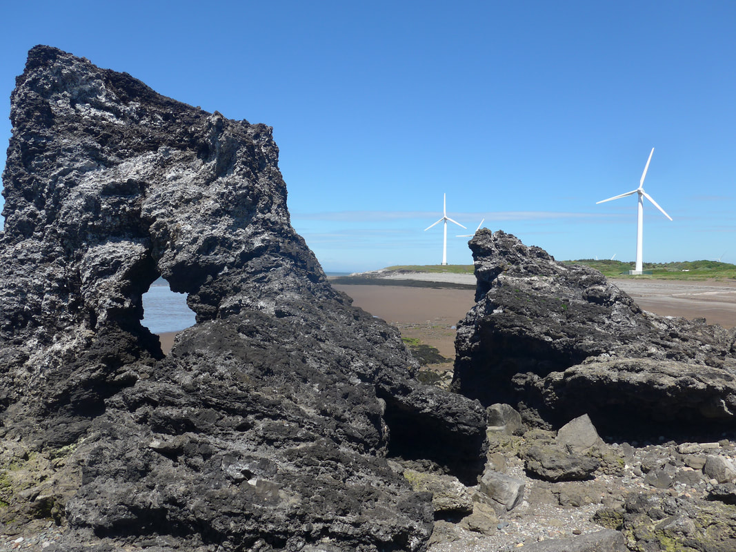
There are some nice rock formations on this section as you near Maryport. Here and there on the beaches we could see the odd brave soul taking to the cold waters.
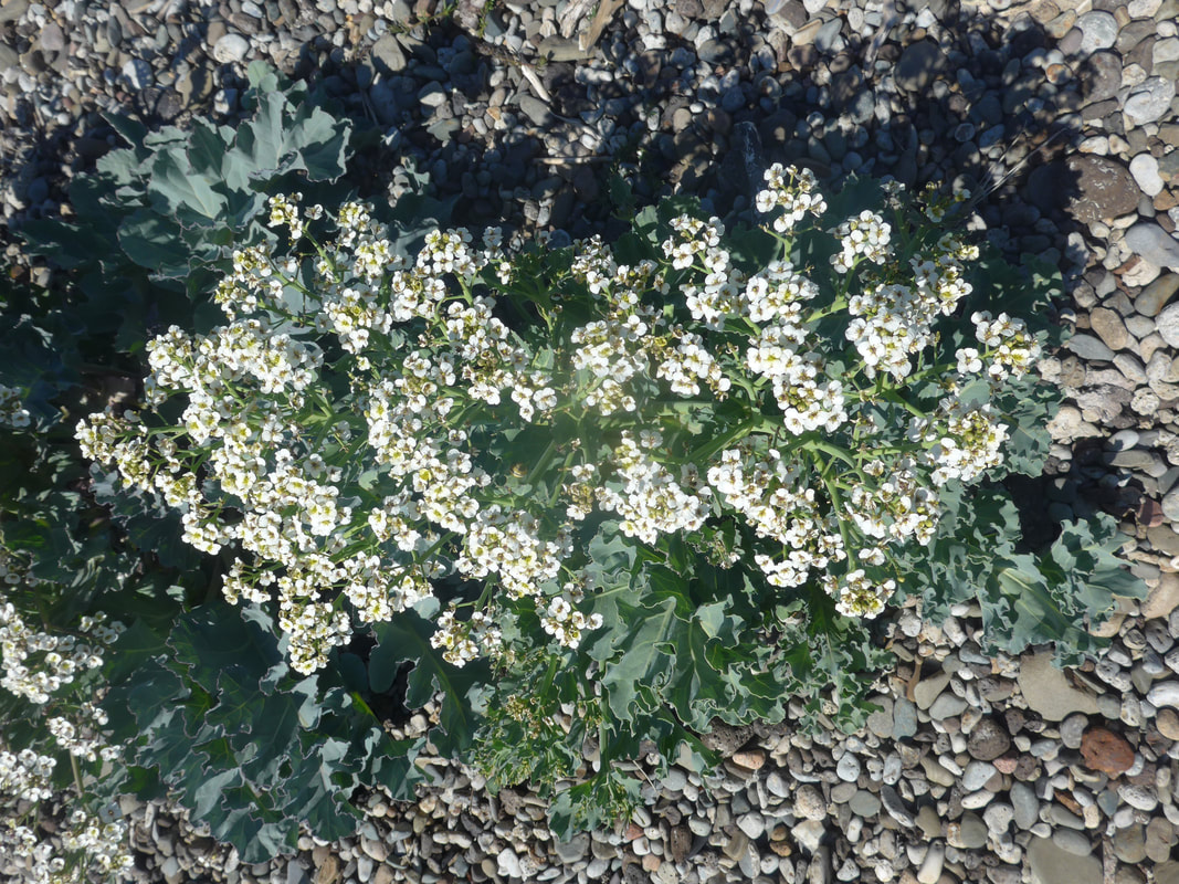
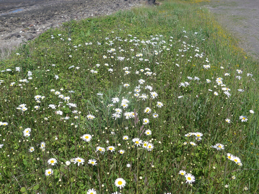
There was a profusion of wild flowers growing at the top of the beach, the colours vibrant against a dark green backdrop. Growing in the midst of the shingle was a good crop of sea cabbages, festooned with white flowers and their scent filling the air.
We were walking through the middle of a wind farm at this juncture and it can be an eerie feeling as the blades whish and whoosh over your shoulder. In the quieter sections between the windmills the low, harsh cry of the Stonechat flitted over the dyke at the head of the beach.
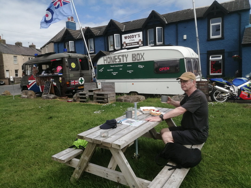
At the village of Flimby we left the beach to have afternoon tea at a cafe and tea stall run by Woody, an ex-serviceman. We enjoyed the specialist Cumbria tea here so much that on our departure Woody provided us with a bag of it to take with us. Woody's of Flimby is accessed by crossing the railway bridge at Flimby and it is in the small square across the road.
There was a profusion of wild flowers growing at the top of the beach, the colours vibrant against a dark green backdrop. Growing in the midst of the shingle was a good crop of sea cabbages, festooned with white flowers and their scent filling the air.
We were walking through the middle of a wind farm at this juncture and it can be an eerie feeling as the blades whish and whoosh over your shoulder. In the quieter sections between the windmills the low, harsh cry of the Stonechat flitted over the dyke at the head of the beach.
At the village of Flimby we left the beach to have afternoon tea at a cafe and tea stall run by Woody, an ex-serviceman. We enjoyed the specialist Cumbria tea here so much that on our departure Woody provided us with a bag of it to take with us. Woody's of Flimby is accessed by crossing the railway bridge at Flimby and it is in the small square across the road.
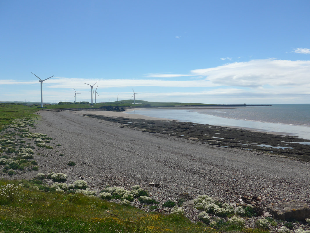
Workington Beach to Flimby
 Slag Cliff
 Back across the bridge after tea, we took up station again on the beach for the final section to Maryport. It was a fine, open section of beach with a great sense of light and space. The sand on the beach was very soft and dry and difficult to walk on, so we walked the slightly firmer path through the grass at the back of the beach.
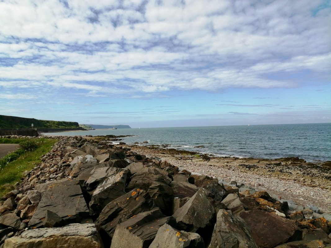
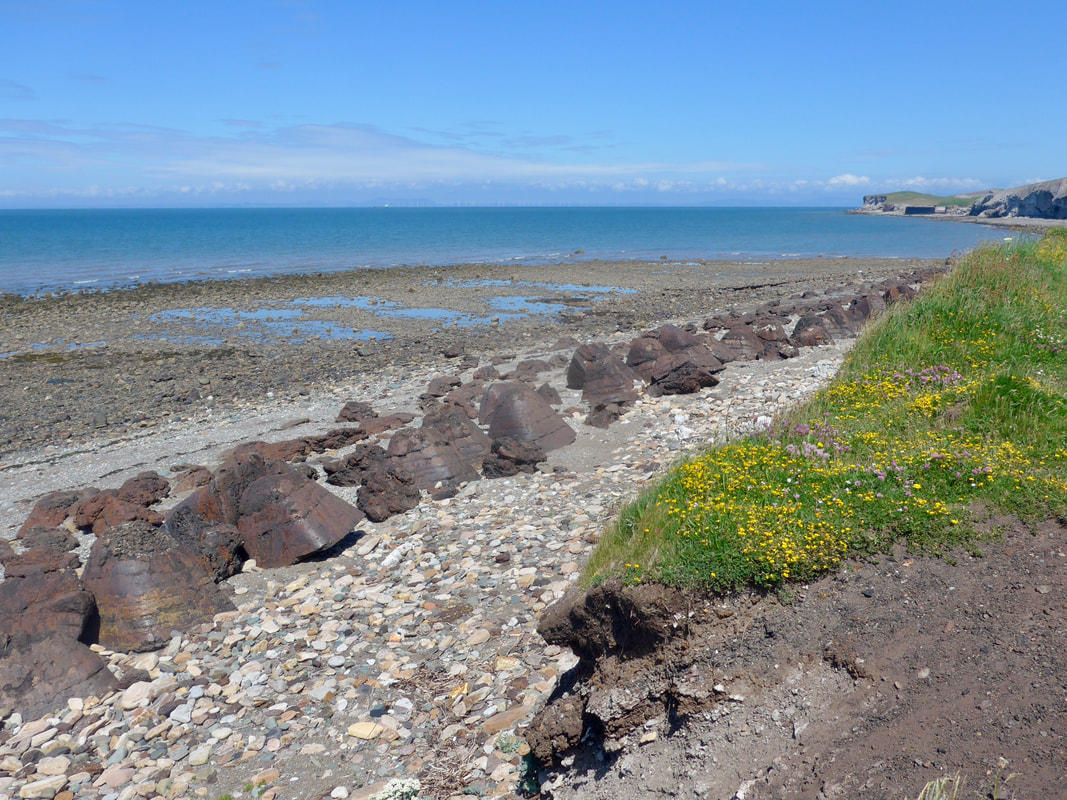
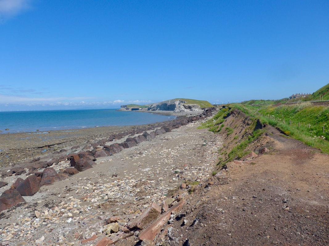
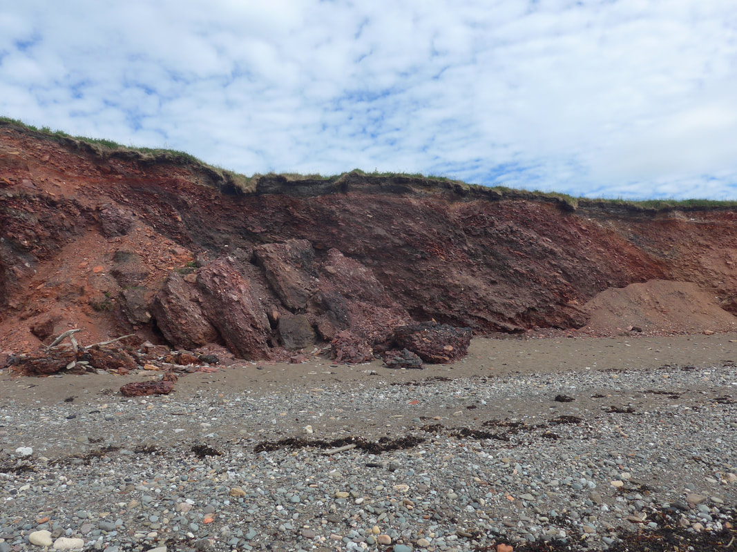
Shortly after Flimby you get an understanding of the geology of the local area where the low cliffs are primarily relatively soft, soil-based and therefore susceptible to erosion. Along the stretch of coastline from Workington to Maryport there is a mixture of natural and artificial cliff frontage, with the latter primarily made up of wastage from various mining and quarrying activities along the coast. Flimby itself can be prone to flooding in periods of heavy rainfall with a couple of streams running off nearby hills through culverts underneath the village coming over the banks. Culverts and drains are often blocked or overwhelmed in torrential conditions. In terms of flood defences, there is only intermittent rock armour protection along the frontage on the section to Maryport, much of it open to further erosion by the sea and weather conditions.
Shortly after Flimby you get an understanding of the geology of the local area where the low cliffs are primarily relatively soft, soil-based and therefore susceptible to erosion. Along the stretch of coastline from Workington to Maryport there is a mixture of natural and artificial cliff frontage, with the latter primarily made up of wastage from various mining and quarrying activities along the coast. Flimby itself can be prone to flooding in periods of heavy rainfall with a couple of streams running off nearby hills through culverts underneath the village coming over the banks. Culverts and drains are often blocked or overwhelmed in torrential conditions. In terms of flood defences, there is only intermittent rock armour protection along the frontage on the section to Maryport, much of it open to further erosion by the sea and weather conditions.
 To Isle of Man
 Progressing along the route you become aware of the estuary of the Solway Firth and, with changes to the light conditions as the sun sank lower on the horizon, the view across the Firth to the hills of Galloway was lovely.
The walking on the pebble / gravel beach was slightly uncomfortable and we found ourselves carefully scrutinising the ground for the more solid walking. As the tide retreated there were more areas of firm sand nearer the water's edge to walk on, albeit wet walking and you are ever mindful of the damage the salt water does to your boots.
Just below Ewanrigg, because we were making for the railway station, we left the line of the ECP to take a local footpath at the back of the beach that continued toward the Elizabeth Dock area but cut up before the dock on to the River Ellen for a short stretch. From the river we were able to follow a tarmac path towards the railway station, ending a fine day's walking.
 RSS Feed
