 Tyneside
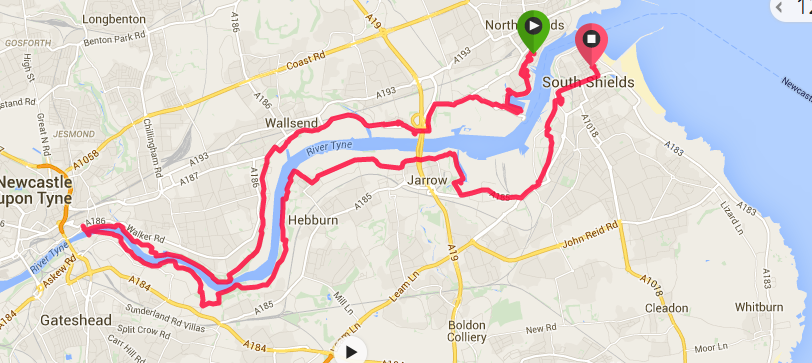
 This is the first walk of a solo (i.e. no Joanna Poor) three-day hike. The day was planned as an easy eight or nine mile hike up one side of the river Tyne, across the pedestrian tunnel and back down the other side.
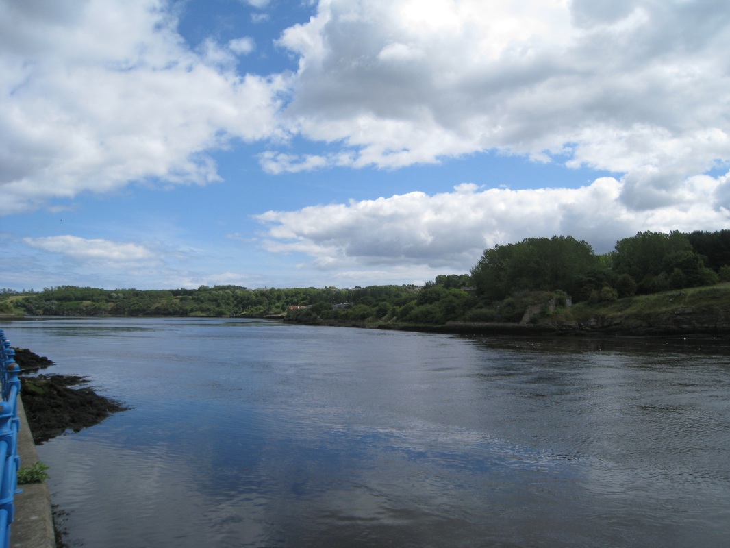
 Mouth of the Tyne
 Transport arrangements to get to the start of the walk had been a little complicated in that I drove from Kirriemuir to Hartlepool, parked behind the railway station and caught a train back to Newcastle. At Pelaw station, just before central Newcastle, I changed from the mainline train to the metro service and took a train to South Shields, where I had booked two-nights at a B & B. The plan was to take the ferry the next morning across the River Tyne and walk back to where Joanna and I had finished our last walk on the docks at North Shields. From there, walk the three or four miles up the river to the pedestrian tunnel under the Tyne and then walk back down the river on the other side to South Shields. It did not work out as planned!
 Ferry
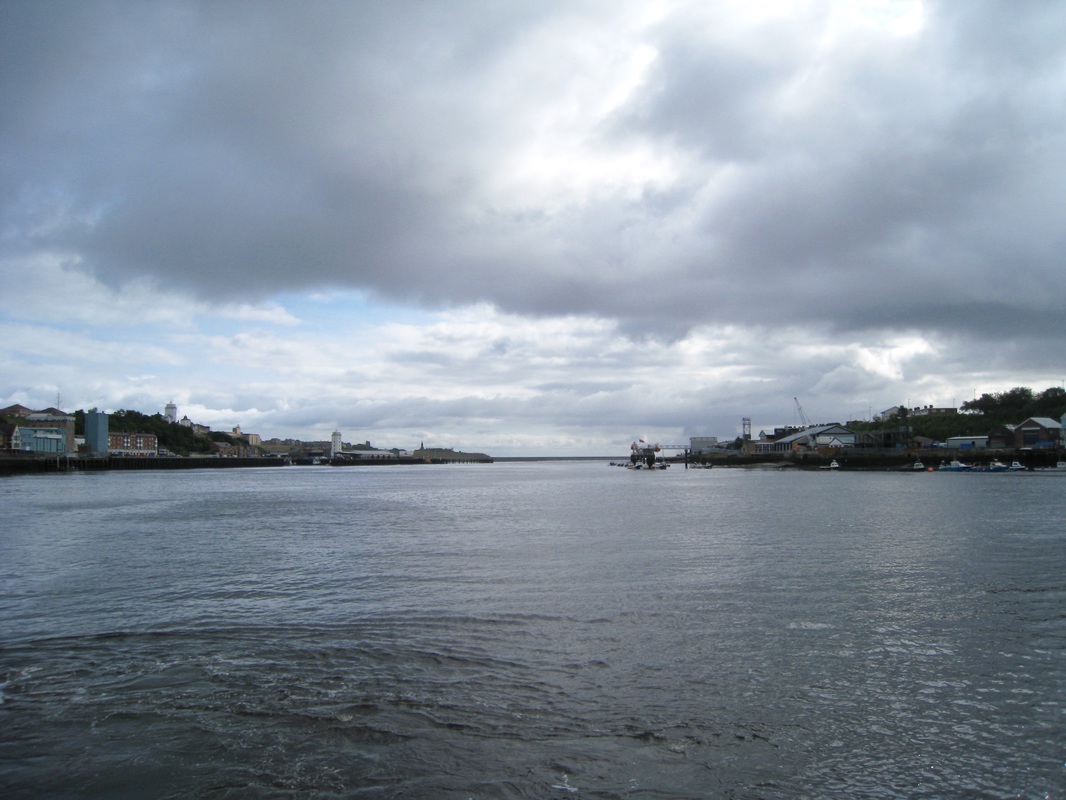
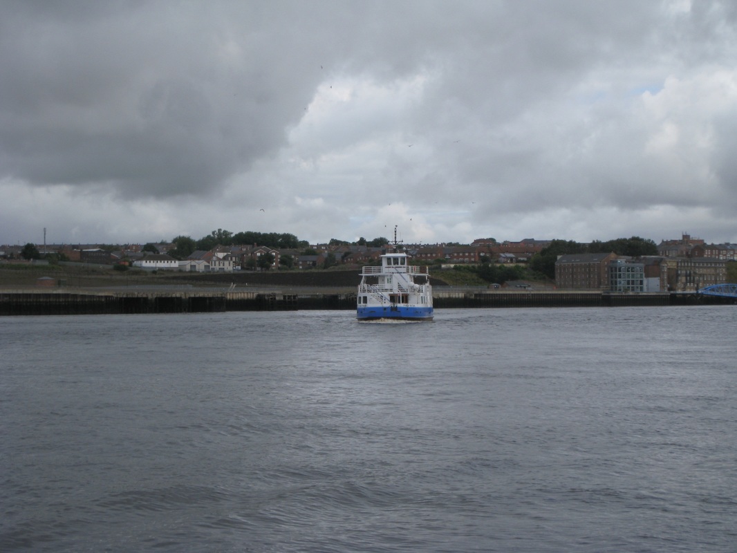
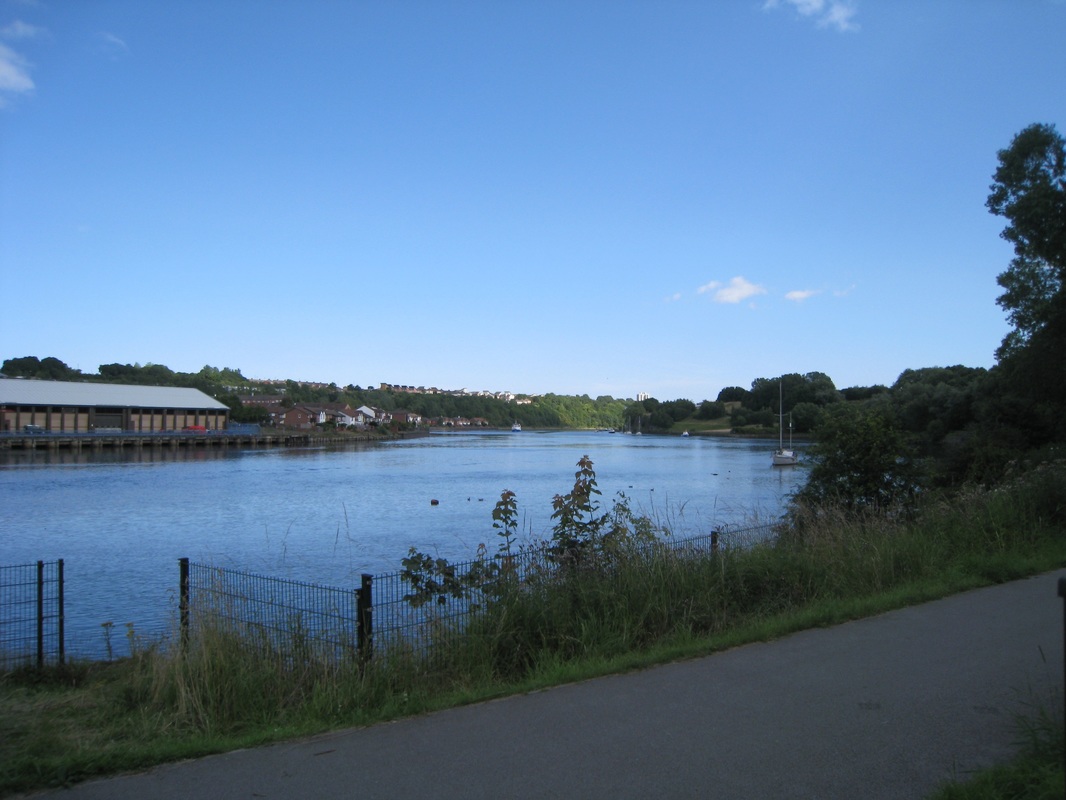
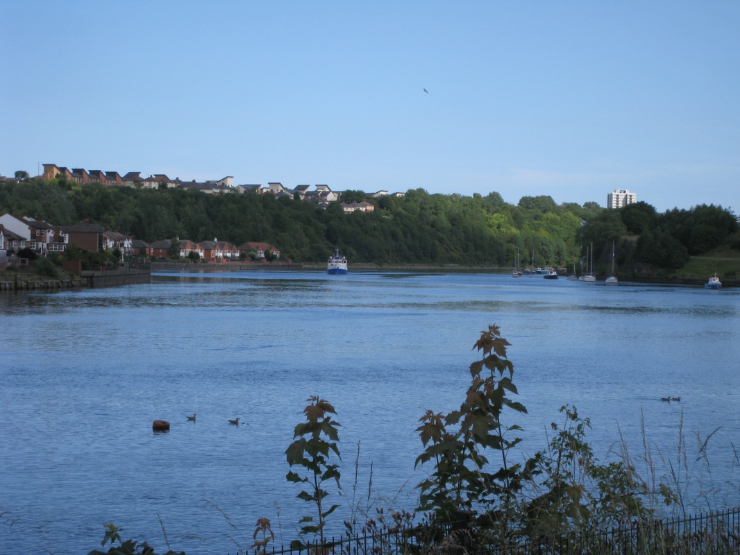
Ferry Early on Friday morning I was up and off to the ferry for the 8.45am crossing. The journey across the River Tyne is about half a mile and takes less than ten minutes. There are fine views up and down the river from mid-stream that remind you of the heavy industries, particularly ship building, that once dominated the river.
 MS Princess Seaways
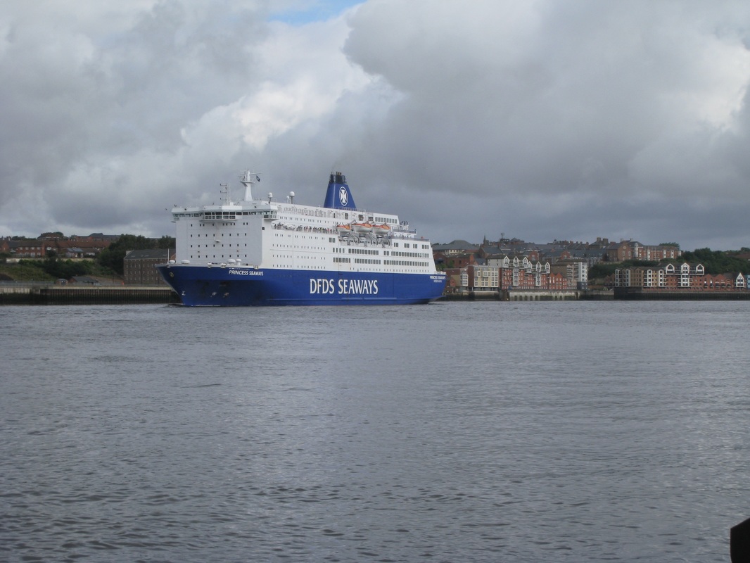
 While waiting for the ferry, I could see across the river the North Sea cruiser ferry ‘MS Princess Seaways’ that goes from North Tyne to Ijmuiden in the Netherlands. Weighing in at 31,360 tons with a top speed of 21 knots, the ship has capacity for 550 vehicles and the overnight journey takes approximately sixteen hours. The ship has undergone various name changes since she was built in 1986, but ‘Kirriemarians’ might be interested to know her name when she was launched was the MS Peter Pan (MS stands for Merchant Ship).
 Marina by Royal Quays
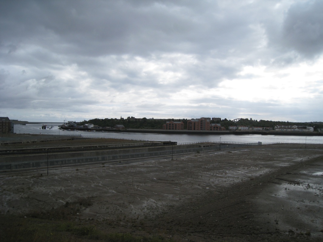
 From the ferry terminal in North shields I made my way up Addison Street and Lawson Street to skirt the dock area. I tried to walk through the old docklands, which appear to be under development, but the connecting road between Ballast Hill Road and Dock Road was closed off with a fence and I had to turn back and follow a different route. To avoid a morning of following the maze of streets through the industrial area that borders the river, I decided to follow the line of the A187 road until I could drop down on to an access road to the entrance to the Tyne Tunnels at Howdon. I was disappointed to find that the tunnels were closed for renovation and would be for the foreseeable future.
 Across the Tyne
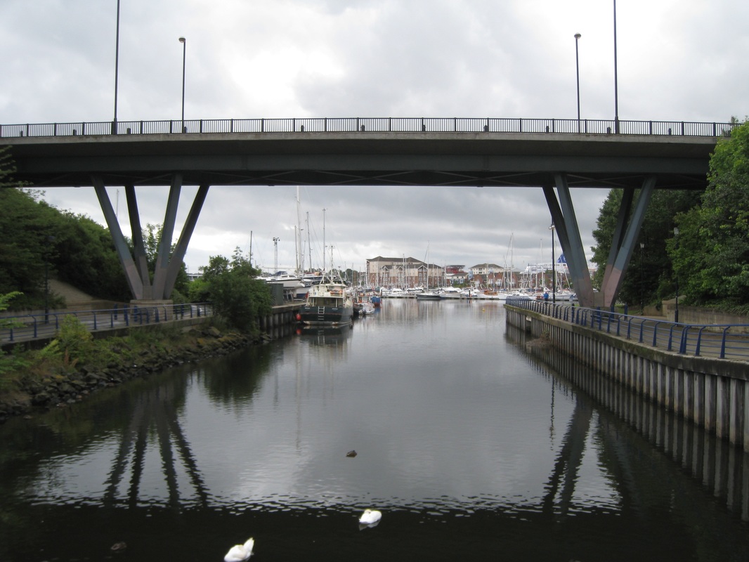
 The Tyne Pedestrian and Cyclists Tunnels connect Howdon on the north bank with Jarrow on the south and were opened in 1951. The two tunnels run parallel to each other, one for pedestrians approximately ten and half metres in diameter while the cyclist tunnel is slightly larger at twelve feet diameter. The tunnels are connected to the surface by two escalators and a lift. The wooden-stepped escalators have 306 steps and are the originals from 1951. As part of the current upgrade, new escalators will be fitted but two of the old ones will be retained for public view. The upgrade has been delayed with the collapse of the original building contractor. It was thought that the first contractor had removed asbestos been from the tunnels but more has been identified and further work is required. This has put the work back substantially and it will not be completed now before summer 2017.
While there was a substitute bus service running I decided that to use it would breach my undertaking that I would walk the coast. The only alternative was to walk up the river to the Gateshead Bridge (first and only tilting bridge in the world) and then back down the other side to South Shields. A wee dawdle of eight or nine miles had suddenly turned in to a marathon of over twenty.
 Wallsend
 If you decide to walk the coast you have to understand and accept that it is not all sandy beaches and blue skies. Urban pavement walking, particularly when negotiating the many river estuaries and their dockland areas, is an inevitable part of the project. It requires a different mind set to the rural sections of the walk where appreciation of the natural beauty of the countryside dominates, is easier on the eye and aids considerably in helping the miles pass by.
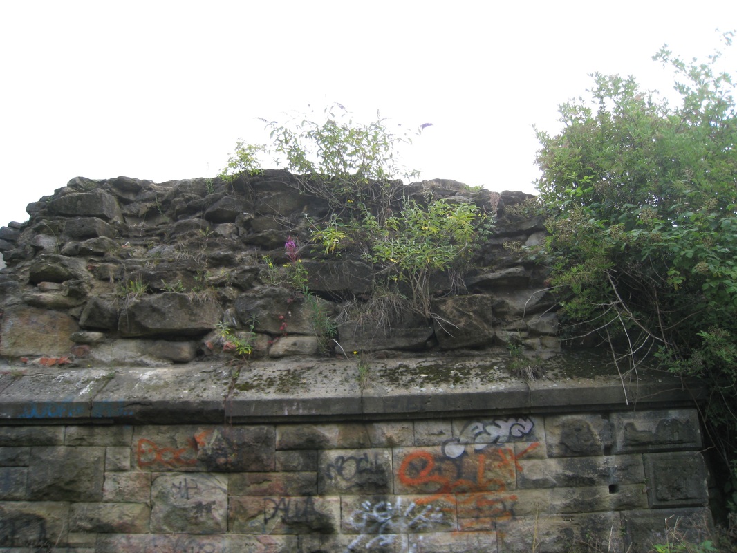 Roman Wall with additional art!
 We are all creatures of habit, in our mind and thinking as well as in our behaviour. It takes a bit of effort and a sense of awareness to avoid falling in to negative thinking when faced with the less pretty stages of the coastal walk. For me this is overcome by taking the point of view that everywhere has at least one point of interest. It involves nurturing an inquisitive mind in to the social and physical history of places including, for example, the rise and fall of populations and industries, as well as their related cultures and traditions. The use of public art and public spaces can also be of interest, as can changing architectural practices from village to village, town to town. They all serve to divert the mind and body from the slog and pain of pavement walking.
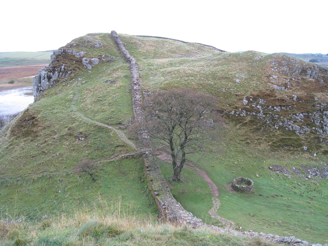 Hadrian's Wall (Previous Trip)
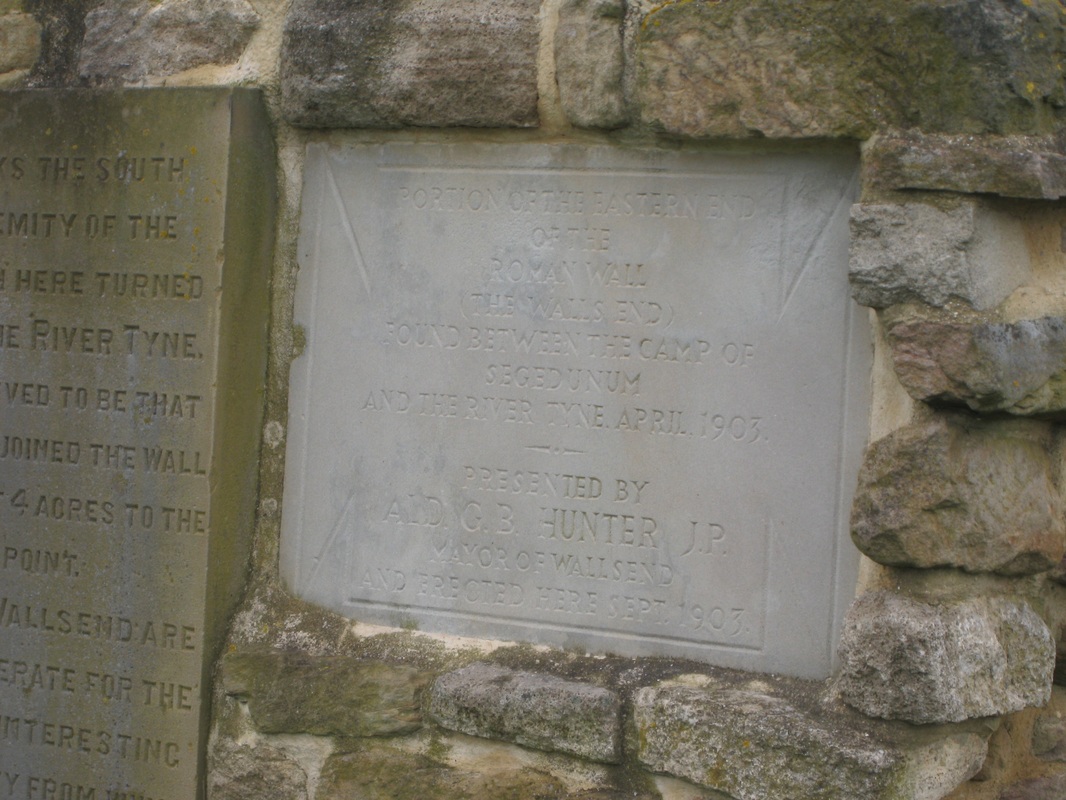
 The riverside area from Howden, around Willington Quay until beyond Point Pleasant is largely industrial with restricted entrance to the works areas. From Howdon I made my way back to A187 to go around the docks area and stayed on the road until just beyond Point Pleasant at Wallsend, which marks the beginning (or end) of Hadrian’s Wall. Joanna and I had both walked in this area coming from the other direction when we completed the 73-mile walk along the line of Hadrian’s Wall, beginning at the Solway Firth on the west coast and finishing at Segedunum (Strong Fort) on the Tyne.
At Wallsend I started to follow the Hadrian’s Wall Path, which made it a bit easier to find my way through the suburban, riverside area. Because of the industrial nature of the actual dockside, the route is slightly back from the river’s edge and at times there is no water to be seen. On numerous parts of the walk there are practical reminders of the Roman presence in North Britain with (graffitied) sections of Hadrian’s Wall visible. The route passes directly below Segedunum Fort, with the substantial remains of Roman buildings clearly visible through the boundary fence. There is a substantial Roman artefacts museum here that I enjoyed going round on my last visit.
 Riverside Wallkway
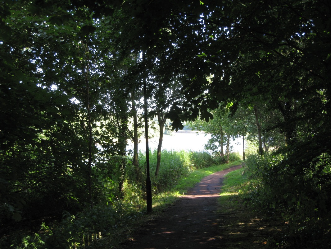
 The route continued through the district of Low Walker and down to St Anthony’s Point where it enters the Walker Riverside Park for the long walk along the river in to the centre of Newcastle.
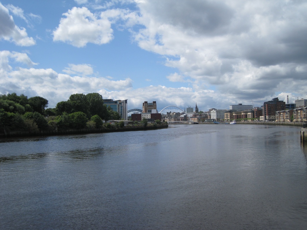
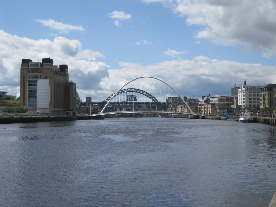
Built in the 1980’s, the riverside park is reclaimed industrial land, another reminder of the changing nature of the landscape in the North East. The riverside walk, from its beginning at St Anthony’s Point to the busy area around the bridges at Battlefield is an interesting and, at times, pretty walk. The iconic Tyne Bridge looming in the background of the newer and brasher Gateshead Millennium (Tilting) Bridge (see this time lapse video of the bridge tilting) are both visible from several miles downstream and guiding you towards the heart of the city. The route diverts through a nice residential area around the St Peter’s Marina that had me thinking that I could live in the North East. Once round the corner at the St Lawrence District the Baltic Flour Mill dominates the south bank of the river. Built by the Rank Hovis Company in the 1930’s as a mill for flour and animal feeds, the building is now home to the Baltic Centre for Contemporary Arts.
Built in the 1980’s, the riverside park is reclaimed industrial land, another reminder of the changing nature of the landscape in the North East. The riverside walk, from its beginning at St Anthony’s Point to the busy area around the bridges at Battlefield is an interesting and, at times, pretty walk. The iconic Tyne Bridge looming in the background of the newer and brasher Gateshead Millennium (Tilting) Bridge (see this time lapse video of the bridge tilting) are both visible from several miles downstream and guiding you towards the heart of the city. The route diverts through a nice residential area around the St Peter’s Marina that had me thinking that I could live in the North East. Once round the corner at the St Lawrence District the Baltic Flour Mill dominates the south bank of the river. Built by the Rank Hovis Company in the 1930’s as a mill for flour and animal feeds, the building is now home to the Baltic Centre for Contemporary Arts.
 Baltic Centre for Contemporary Arts
 By the time I reached the Gateshead or Millennium Bridge, I was dead on my feet. I find pavement walking particularly painful on my heel and the soles of my feet and, while I can walk ten or fifteen miles on grass before feeling any discomfort, it is almost immediate on tarmac. Fortunately, I was spoiled for choice about to where to stop for lunch, as there are numerous restaurants, coffee shops and cafes along the approaches to the bridge. Despite the miles I still had to walk, I stopped at the Gateshead Bridge for over an hour, enjoying some lovely coffee, Croute Monsieur and delicious apple cake. Admittedly, there were funny looks when I took my boots off! After lunch, the sun was shining and with the foot pain abating, I sat outside by a wee waterfall ‘people watching’ and was tempted to just sit there all day.
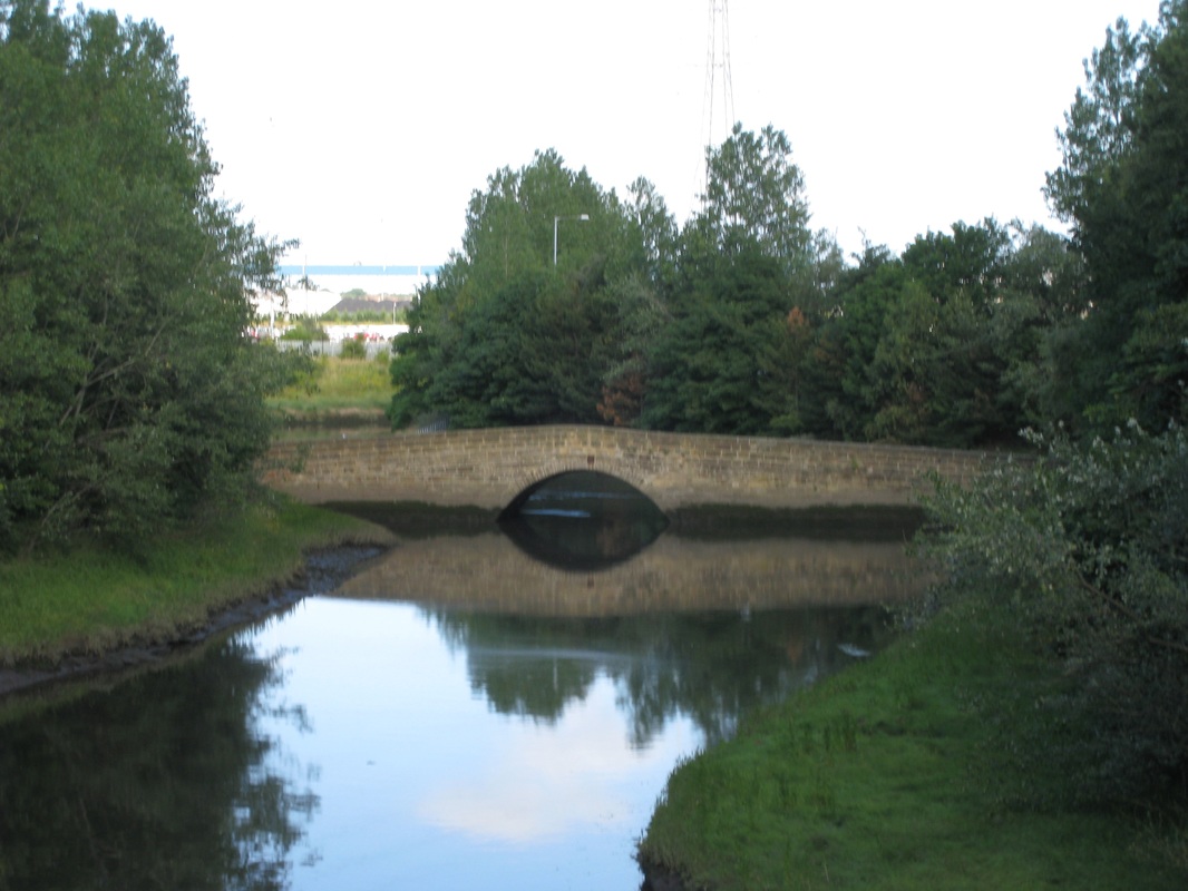
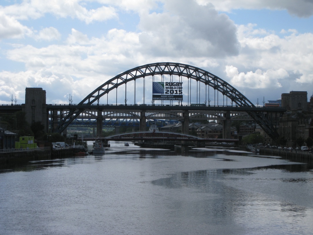 Tyne Bridge
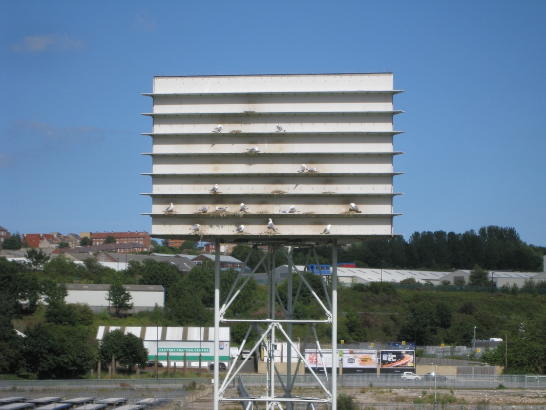
 Following lunch, I crossed over the Millennium Bridge, taking time to admire the iconic Tyne Bridge before beginning my walk back down the other side of the river. Although my OS map did not show a path down the river from the bridge, I took a chance to go down a side street and was rewarded with another beautiful walk along the banks of the Tyne. I passed an intriguing structure known as a ‘kittiwake tower’. Usually cliff dwelling birds, over the years a colony of kittiwakes had taken to nesting on the old Baltic Flour Mill as their home. When the flourmill developed in to a bespoke arts centre they had to find a new home. The construction of the kittiwake tower was the solution. Originally located in Baltic square it now resides on the riverbank in the Saltmeadows district. From the south bank of the river there were nice views back down the Tyne that showed off the location of the some of the nice housing developments on and close to the river.
 Walking in the Shade
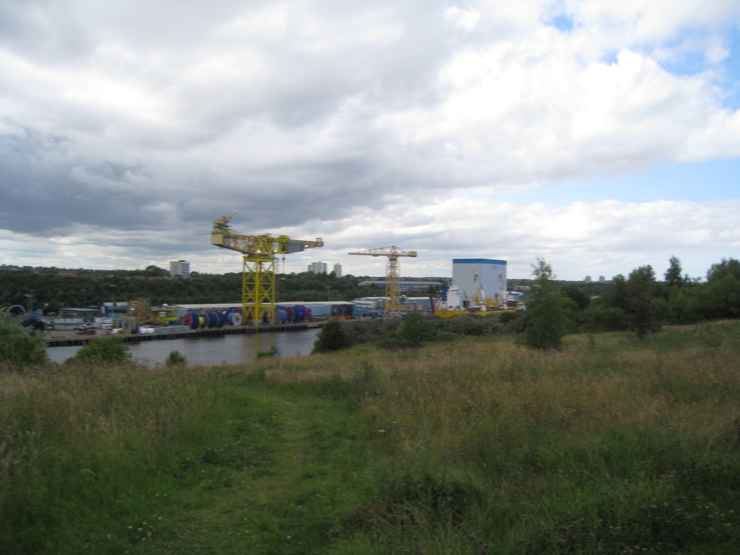
 Apart from when I had to cut up on to the road to go round dock works and wharf at Felling Shore and later at Bill Quay Farm, by and large I was able to stay on the river until I reached just before the site of the old Hebburn Colliery. To get round the docks and industrial works at the Jarrow Staith, I moved up on to a B road for the short one-mile walk to Jarrow.
 Industrial Wearside
 The weather was very kind to me for the walk down the south bank of the Tyne and I was in warm sunshine with just an occasional bit of breeze. The walk went through a changing landscape, moving effortlessly from the busy industrial areas on the edge of Gateshead, to a more isolated river walk and shady woods between the villages of Bill Quay and Hebburn. The views across the river and up and down the south bank gave a real flavour of the industrial heritage of the city. On both banks of the river there were plaques and other memorials to record the passing of shipbuilding and the other heavy industries on the Tyne. Nonetheless, there was a buzz and optimism about the place with plenty of evidence in the industrial and domestic building works that were going on throughout the length of the river that the area and its people were moving on.
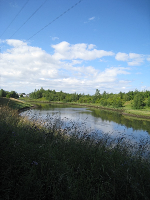
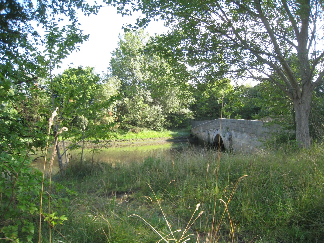
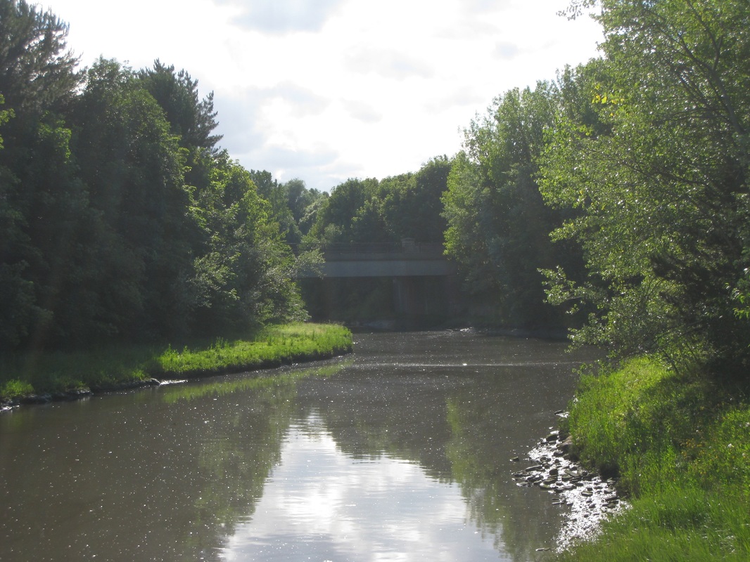
At Jarrow I left the road to take a public footpath down to the jetty on the river so that I could enjoy the walk up the River Don, that runs in to the Tyne at this point. It was a beautiful interlude with some very pretty moments on the river in nice, warm sunshine with clear blue sky, birdsong floating above the water and the sough of a light breeze through the reeds. I took a moment or two to enjoy the very tranquil glade by the sides of the old Jarrow Bridge over the river, just beside the monastery of St Paul’s, part of the heritage of the Venerable Bede. The bridge was built in the early 18thC but there would have been earlier bridges here or close by to serve the monastery.
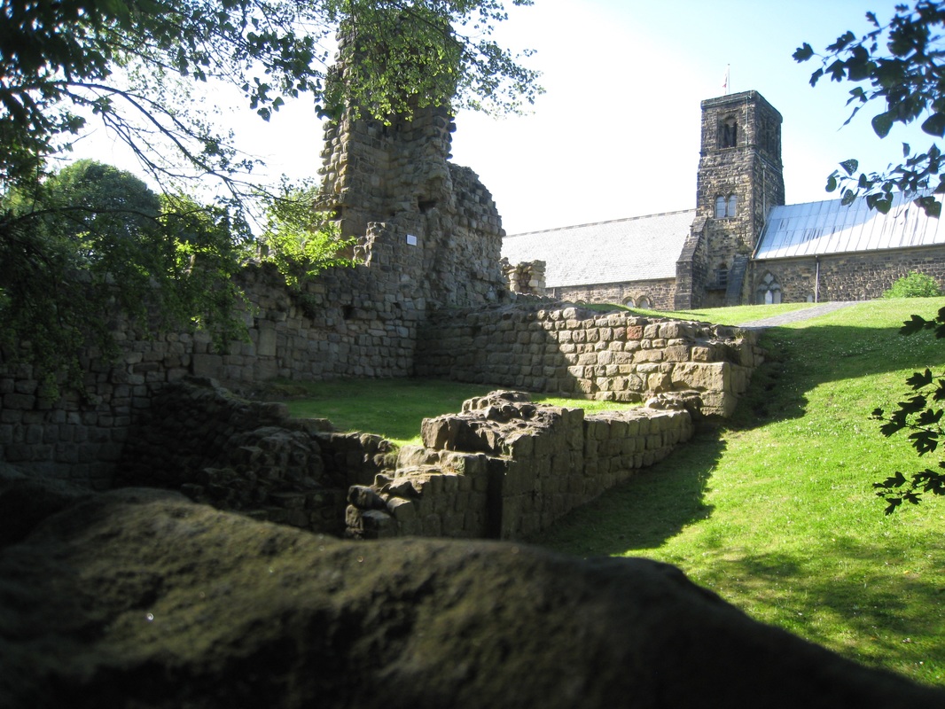 St Paul's
 St Pauls’ was built about 681AD and is part of what is known as a ‘twin foundation monastery’ along with St Peter’s Monastery in Wearmouth, Sunderland, which I hope to pass by on my walk tomorrow. The area by the old bridge was on that day a delightful place with the sun, the light and the natural beauty of the place creating a little spiritual haven. It was hard to believe that just a few yards away through some trees there was a very busy road.
 Bridge Across the Don (Sequel)
 From the old worldliness of the bridge over the Don, I returned to the main A185 road and the modern bridge to cross over the River Don (the old bridge goes nowhere now) and to get round the Tyne Dock area. I was on the home straight now. Unfortunately, on the approaches to South Shields I took a wrong turning at a major junction and 'lost the coast'. Instead of following a road down the river again, I ended up approaching the town from a more central position with the result that I missed out the corner of the river / coast walk that goes down to the mouth of the Tyne. I was able to go back and rectify this later that night after some rest, refreshment and food.
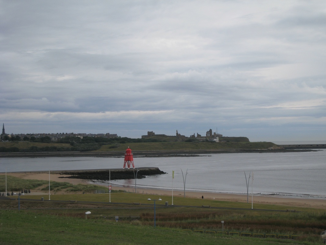 Mouth of the River Tyne
 After walking for twenty-three miles with a full pack I was completely bushed. I picked up half a dozen bottles of Lucozade on the way to my digs and drank four of them before I felt fit enough to go out to the chippie. I got talking to the staff in the chippie and told them about my walk. They advised me they would just be closing up and offered me some of the food that was left. It was only when I was sitting on a bench on the hill above the Marine Park did I realise that in addition to a huge fish supper (and I mean huge) I also had two steak pies and half a dozen what I think were called faggots, but looked and tasted like hamburgers. It would be nice to tell you the seagulls were well fed that night. It would be a lie!
 RSS Feed
