
 Bass Rock
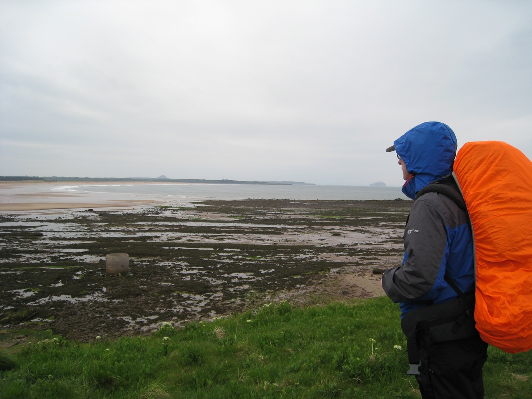
 Today's walk, planned as the first of a three-day hike, was one we fully expected to be tough given the fact that it will be a camping trip and we will be carrying full packs of up to thirty pounds with tent, sleeping and cooking equipment, clothing, food and water. The distance involved is considerable (for us) and will involve a fair degree of road walking, as there are areas of the coast that we cannot access.
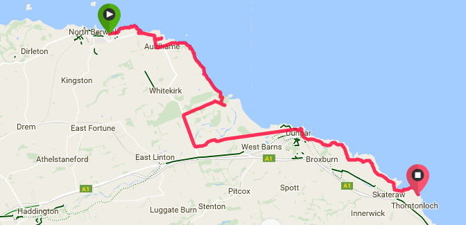
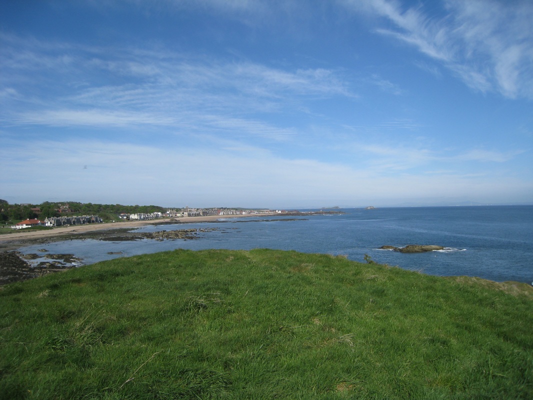
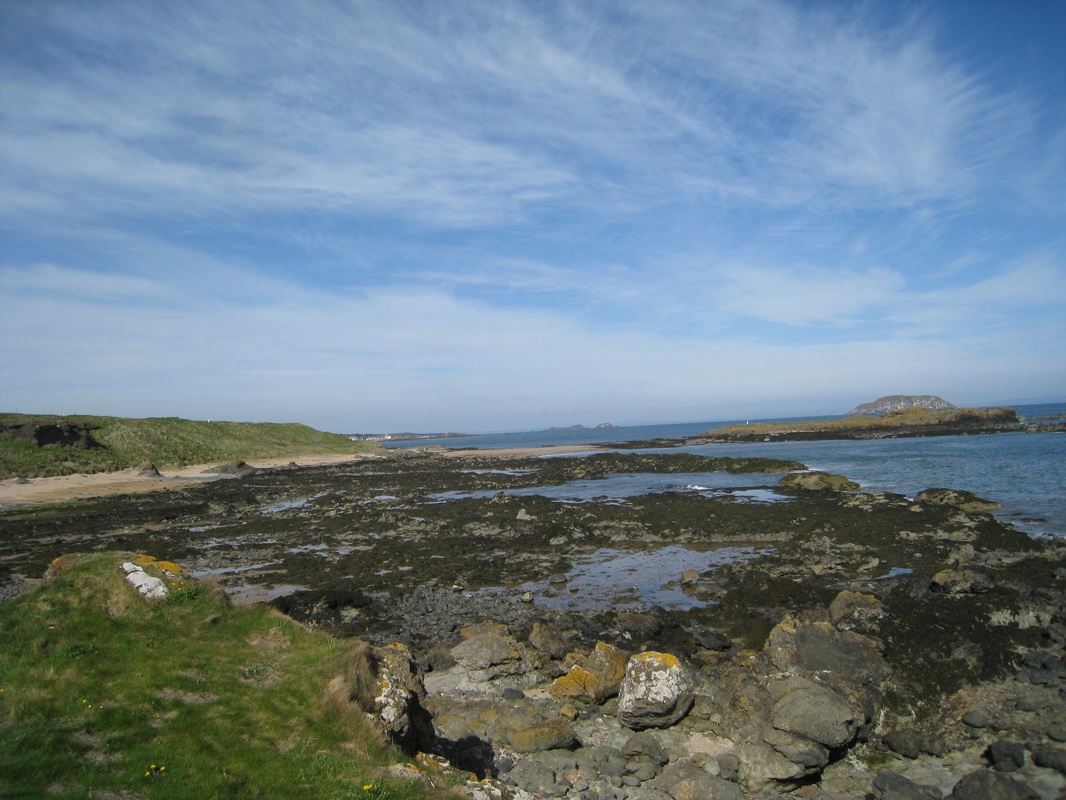
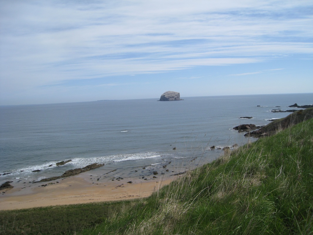
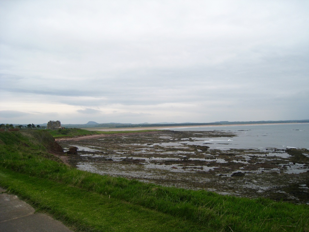
Looking across the top of the isle of Craigleith we can see the coast of Fife sitting in the light mist on the horizon and, to the front of us the Bass Rock looms over the sea. Equally dominating, inland from North Berwick, the green Berwick Law tussles for attention against a wispy blue and white sky. There is an Autumnal sharpness in the Spring morning air that makes you feel alive. The tide is high as we drop down to walk on the initially rocky beach that gradually gives way to sand that is still damp and therefore firm to walk on.
 Craigleith to Fife
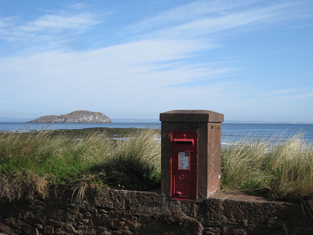
 To give us a good start, we travelled down to North Berwick the night before our first start and stayed in a lovely little B & B called 'The Wing' at the end of Marine Parade. Definitely recommended! The accommodation is on the seafront looking over Milsey Bay and, when we left the next morning, there were beautiful views across the bay over the tops of the isles of Craigleith and Lamb and further out to the Bass Rock. The little post box on the seafront must be one of the best placed in Scotland.
 North Berwick
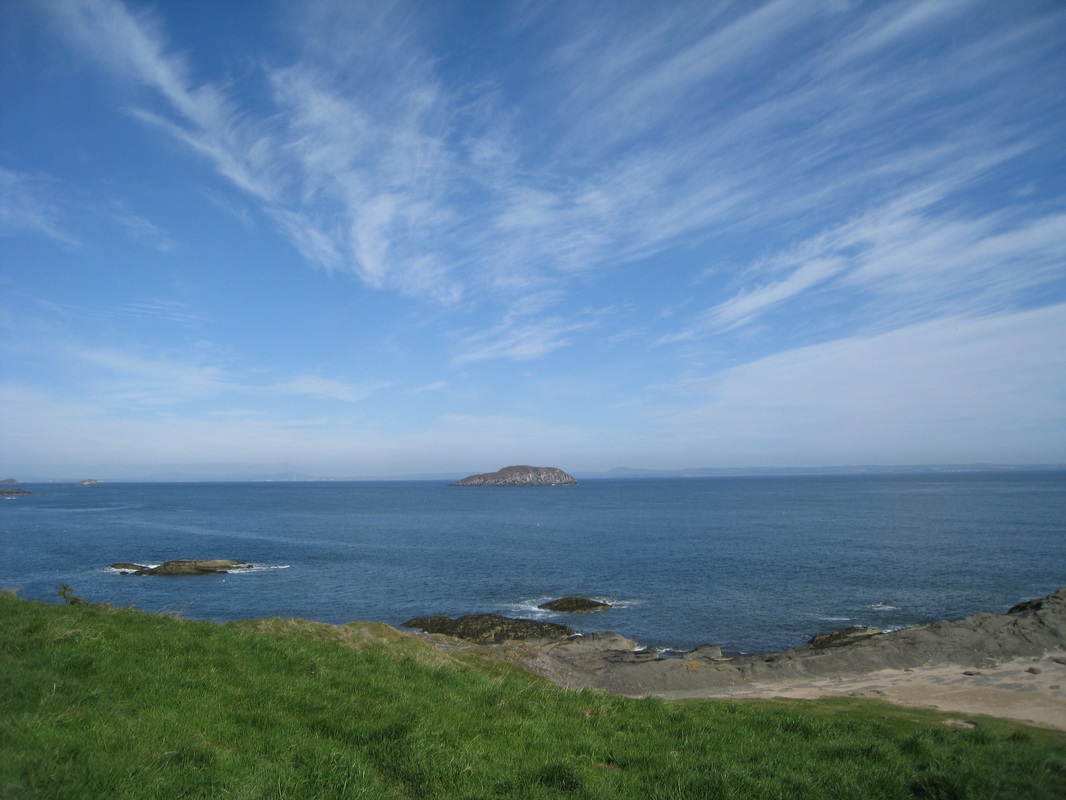
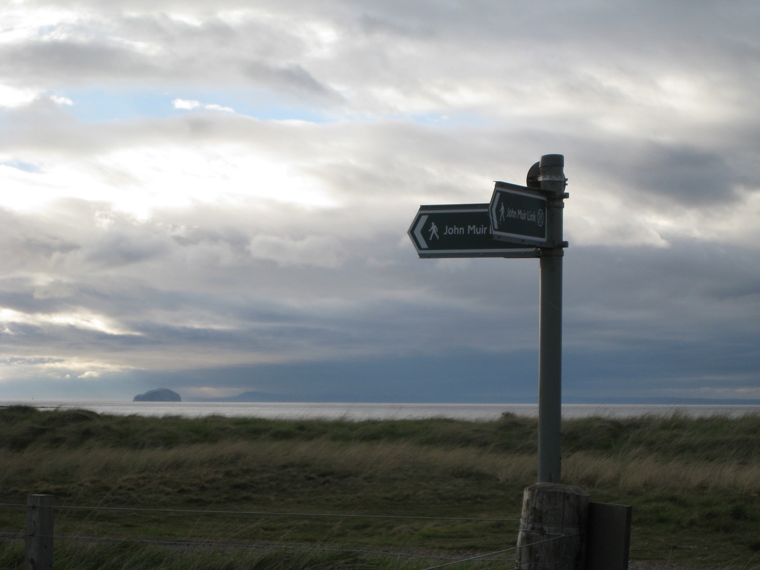
 From Berwick we parted company with the long distance path, the John Muir Way, as it goes inland towards Berwick Law, while we hug the coast for as long as we can. Our route goes along the promenade before rising up and through an area known as the Rugged Knowes, bordering yet another golf course, the Glen Golf Club. At the top of the hill the views back to North Berwick and beyond are dramatic in the early morning sunshine with blue sky and sea and green, green grass.
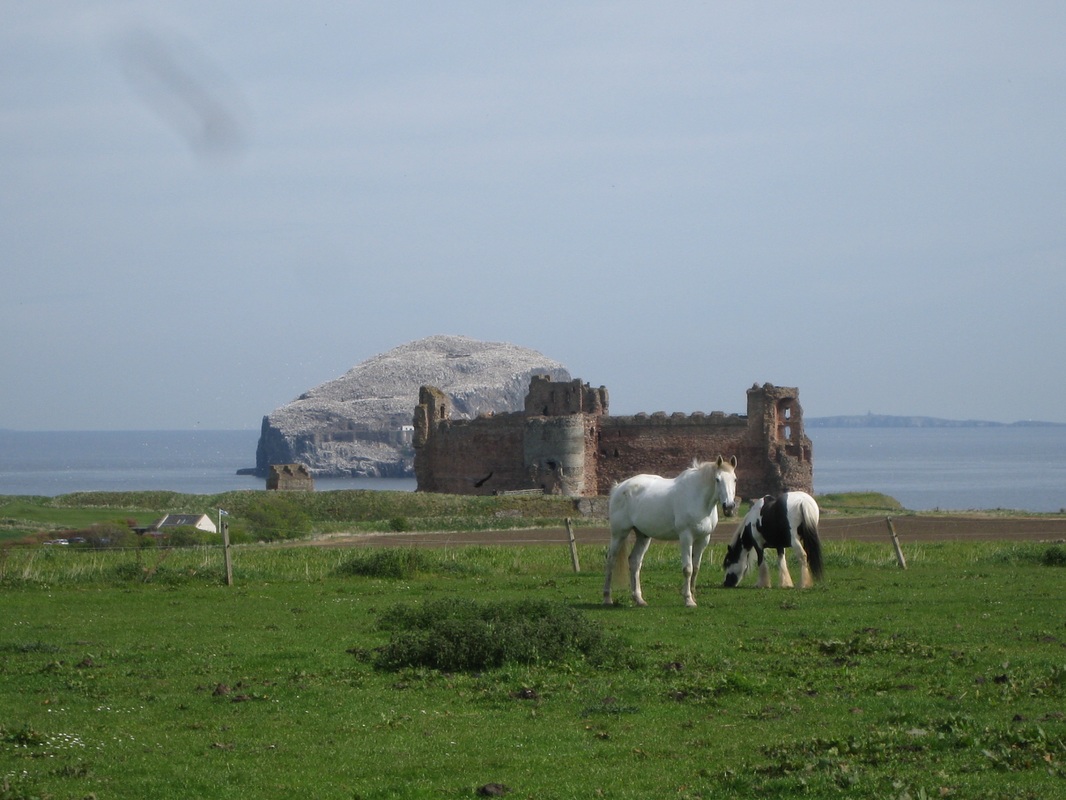
 Lighthouse / Chapel
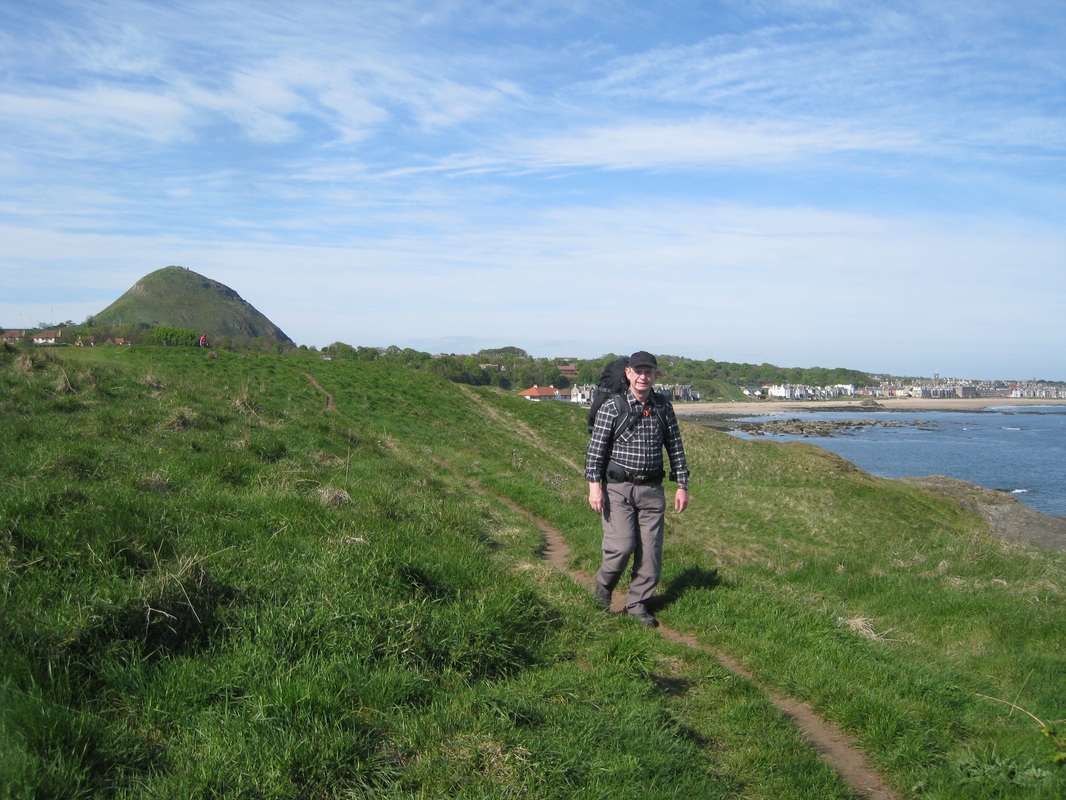
 As we progress up the beach the Bass Rock comes more clearly in to focus and we begin to see the individual features that dot the shore-side of the rock. The lighthouse appears to hold on to the rock face by its fingernails, while just above it the ruins of St Baldred’s Chapel sits in lonely contemplation. Not visible in any of our photographs are the remains of the castle that was here. Initial entry to the castle was either by ladder or a bucket and chain that was attached to a crane bastion that is still shown on ordnance survey maps. Thereafter, it was up about three flights of stone stairs, each flight topped with its own secure door entry. Guess it would have been difficult to fight your way up there?
St Baldred, also known as Saint Balthere (died 757), is sometimes called the ‘Apostle of the Lothians’ and was the founder of the nearby Tyningham Monastery (located in the grounds of Tyningham House), was said to have had a hermitage or cell on the island where he liked to retire to for periods of solitary meditation. The chapel, built on what was thought to be the site of the cell or hermitage, is mentioned in a Papal Bull issued on 6 May 1493. Nearby on the mainland there are numerous reminders of the Saint’s life with various natural features using his name including St Baldred’s Cave just below Auldhame / Seacliff and the rock formation known as ‘St Baldred’s Boat’ and on which a cross and plinth memorial to the saint have been built.
 Castleton
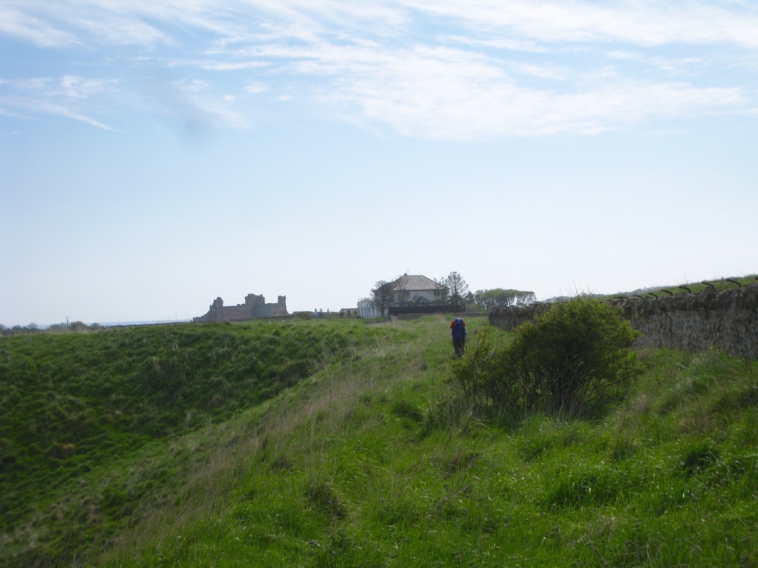
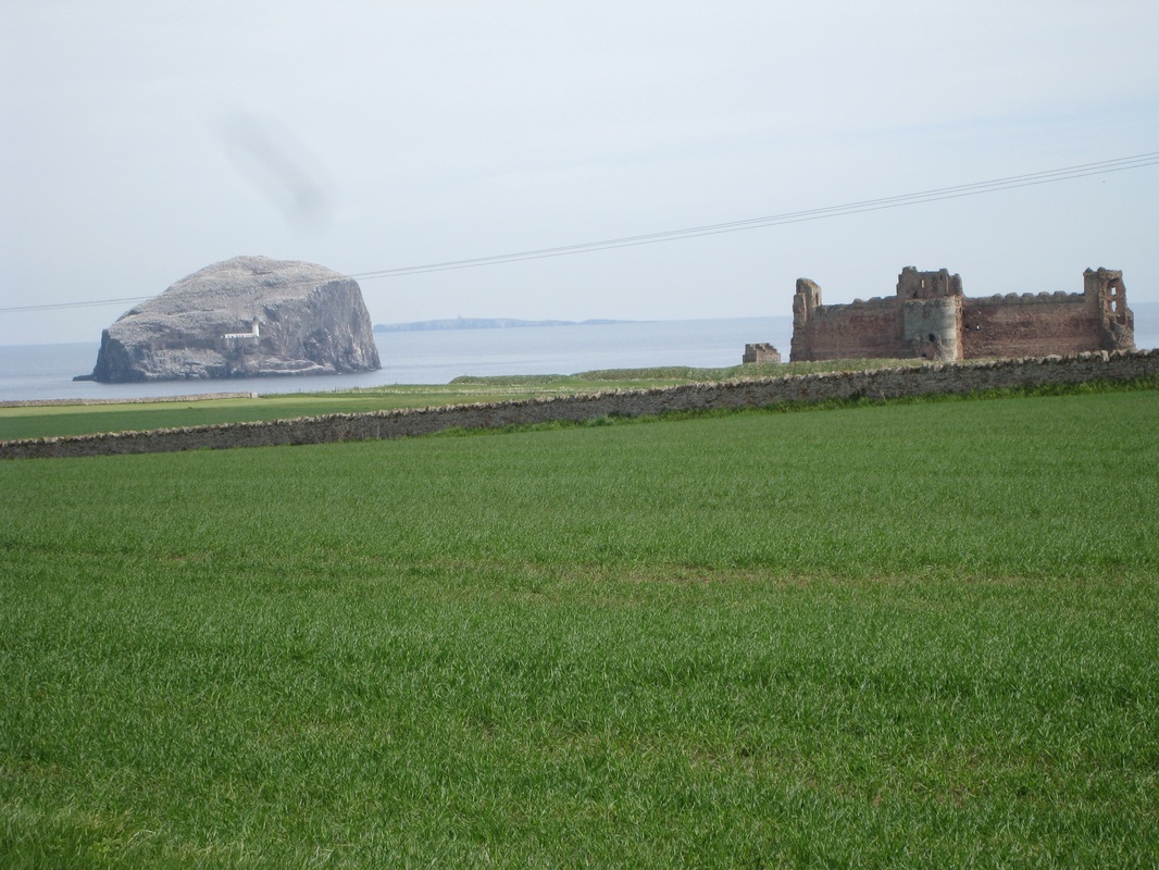
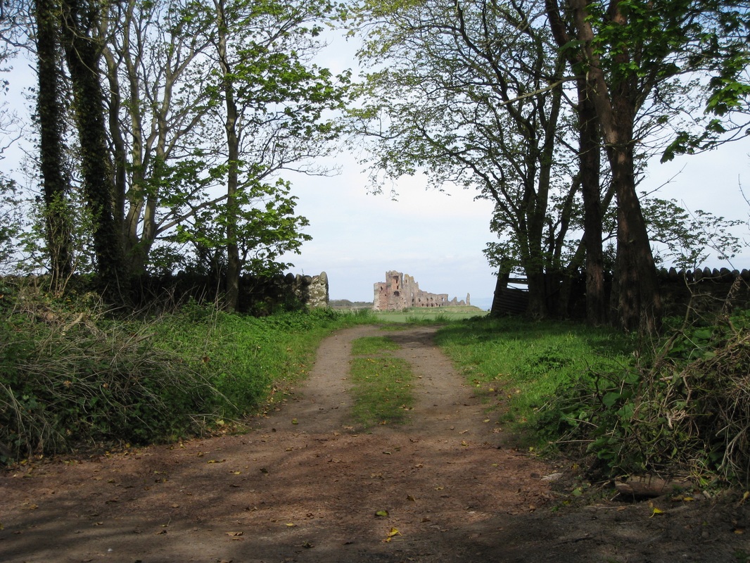
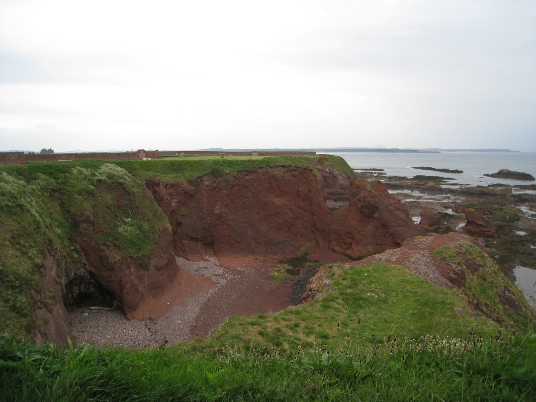
 We were able to stay on the beach until Canty Bay, just below the small settlement of Castleton where we were forced to take the higher ground to get around the major remains of Tantallon Castle. As we walked up from the beach Tantallon Castle began to show just beyond the headland. We had our first experience of road walking at this point up a short section of the A198 past Castleton and the castle itself up to Auldhame where we headed back down again to the coast by the Car Rocks. We had tried to access the coast earlier by going through the grounds of Tantallon Castle but an entrance fee was required that we were not willing to pay just for walking across the ground.
| On the road down to the coast we had some pretty aspects of Tantallon Castle. As noted earlier, the short beach here is also the site of St Baldred’s Cave and on the tip of the Great Car, St Baldred’s Boat and memorial (with the cross in the picture) are located. | 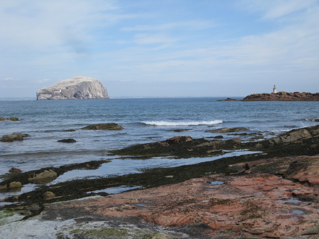 St Baldred's Boat |
 Peffer / Ravensheugh Sands
 From Seacliff Beach we made our way along the Car Rocks to emerge on to the beautiful Peffer & Ravensheugh Sands, which we followed up to the end of Bathan’s Strand. Just beyond here lies the mouth of the River Tyne (no, not that one) that we needed to cross. Although we knew there was a footbridge somewhere in the grounds of Tyninghame House, we also knew there were issues about access to it. Following one of our Buddhist discussions, we decided to take the path of least resistance and to make the slightly longer detour back up to the A198 again to cross the river at the Tyninghame Bridge. Knowing what we know now, if we had the decision to make again we would try for the footbridge. It was a long detour.
We left the beach at Bathan’s Strand and walked through Links Wood (where we got lost) and on to the Limetree Walk (very long) before meeting up with the road a couple of miles later. It was while walking up Limetrees that we spoke to a local lady out exercising her dogs who shared with us some of her adventures working as a volunteer looking after elephants in India. It sounded great fun and I suspect it will not be long before she is off on her travels again. As we exited on to the A198 rain set in and was to stay with us pretty much for the remainder of the walk to just before the campsite.
 Hedderwick Sands
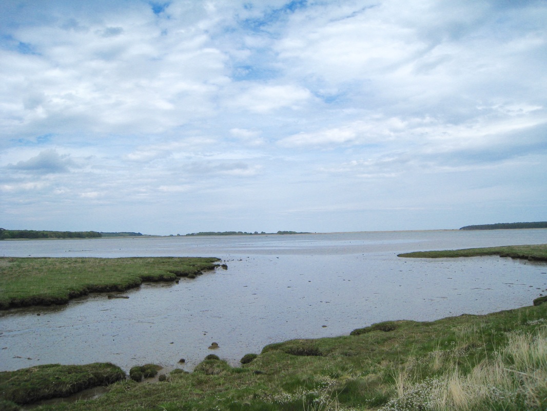
 At the Tyninghame Bridge we met up again with the John Muir Trail, which we followed along the Ware Road heading for Hedderwick Sands. As the tide was out by this time we were treated to an endless view to the horizon as Hedderwick Sands ran out past the Tyne Sands on the other side of the Tyne River. The Hedderwick area is part of the John Muir Country Park that covers a major part of the coast here including the Tynemouth estuary and on up to Peffer Sands. It includes a varied landscape of beach, grassland, salt marsh and woodland and contains a varied degree of wildlife, particularly wading birds.
 Bellhaven Bay
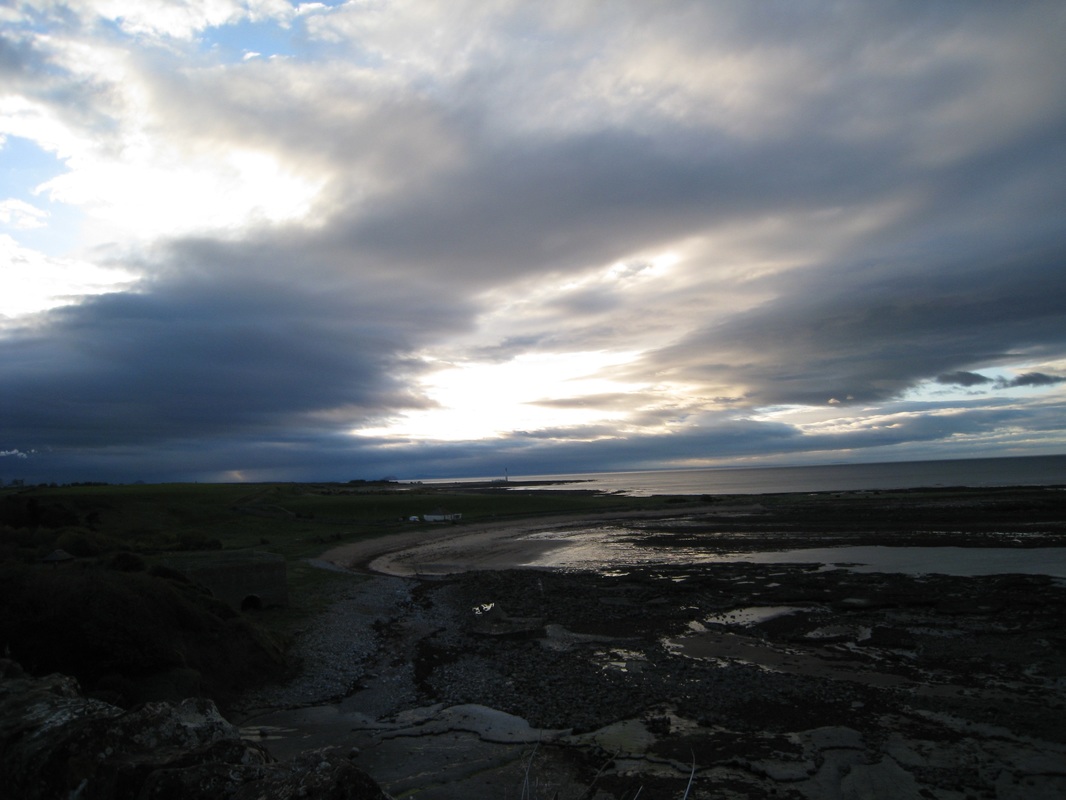
 We stopped for a few minutes at the bridge over the Hedderwick Burn for some foot care. Here I got the first inklings of the major foot blister on the pad under the big toe of my right foot that was to cause me some major difficulty later. Some minor first aid at this point enabled us to continue, albeit at a slightly slower pace. As we reached the outskirts of Dunbar, it had been raining quite consistently and we decided to seek some shelter and a meal, which would mean we did not have to cook dinner when we arrived at our campsite for the night. As usual, we were too optimistic about the progress we were making and lingered too long over a fairly indifferent meal, no doubt reluctant to return to the rain.
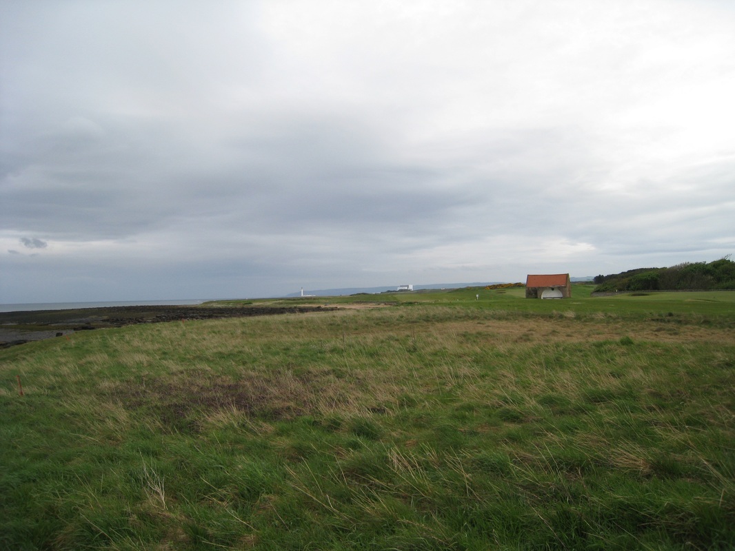
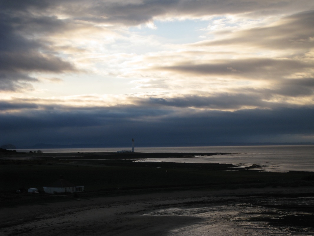
As it turned out, the rain had pretty much stopped by the time we were back on the road and it stayed away for the rest of the journey. From Dunbar we made our way round by the harbour and up on to the edge of Dunbar Golf Club. From here looking back (north), we looked across Bellhaven Bay to Tantallon Castle and Berwick Law in the distance. The rock on which the golf course sits is a vivid red sandstone that is riddled with caves and other wind and sea-made features. To the south, we could now see the Barn's Ness Lighthouse and Torness Power Station through the gloaming. The campsite we were heading for, Thortonloch, was just the other side of it, literally within a few hundred yards. Initially from Dunbar, it did not seem too far away. However, the further we walked in the gloom, the further away it seemed to be.
Distance is sometimes difficult to judge on coastal walking because you tend to see things in the distance 'as the crow flies'. Unfortunately, there are usually a couple of wide bays with long arms to go in and out of before you reach the destination and it can easily add three or miles to your estimation. Visual illusion leads you to think two features are on the same land mass but when you get closer you appreciate they are actually a few miles apart. Like Barn's Ness Lighthouse and the power station.
Distance is sometimes difficult to judge on coastal walking because you tend to see things in the distance 'as the crow flies'. Unfortunately, there are usually a couple of wide bays with long arms to go in and out of before you reach the destination and it can easily add three or miles to your estimation. Visual illusion leads you to think two features are on the same land mass but when you get closer you appreciate they are actually a few miles apart. Like Barn's Ness Lighthouse and the power station.
Our route now followed the John Muir Way, making life a little bit simpler. When we are left to our own devices for too long, we tend not to consult the map often enough and usually end up slightly lost or wandering about in muddy salt marshes. Consistent signage on a route is a godsend.
 Barn's Ness Lighthouse
 Shortly after the golf course we were able to drop down on to the White Sands before being forced up for a long walk following the line of rocks just after the lighthouse at Barn’s Ness. Towards the end of this section the route skirts around the area known as Skateraw Harbour. The harbour was built between 1799 and 1825 to ship limestone to ironworks in Devon and then to return with coal. The harbour went out of use between 1853 and 1892. There are also very well preserved lime kilns with information boards Dunbar.
 Weary Traveller
 We were worried about the time because we knew the camp did not accept people after 9.00pm and it was now about fifteen minutes past that. At first the warden informed us because of the time she had cancelled the booking but eventually she relented and left her cosy static home to come out and complete the booking in process. There was further panic when we realised I had used most of our cash to pay for the meal in Dunbar and we just had enough to pay the camp fee. We did not have any money left to pay the deposit for the shower room key and had to do without the hot shower we had been thinking on for the last few miles. By the time the tent was up we were too tired to worry about showers and soon both conked out to sleep through to about 6.00am when we wakened up to another wee drama!
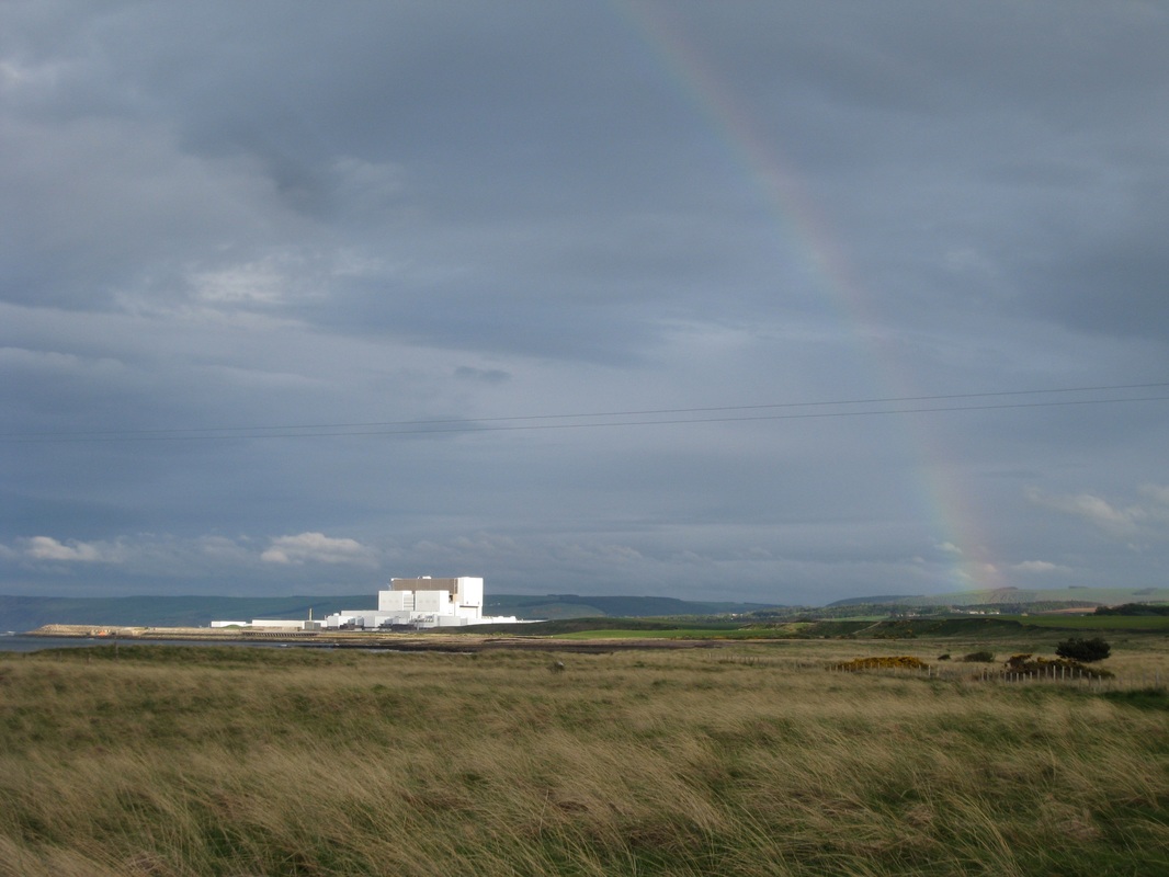 Torness Power Station
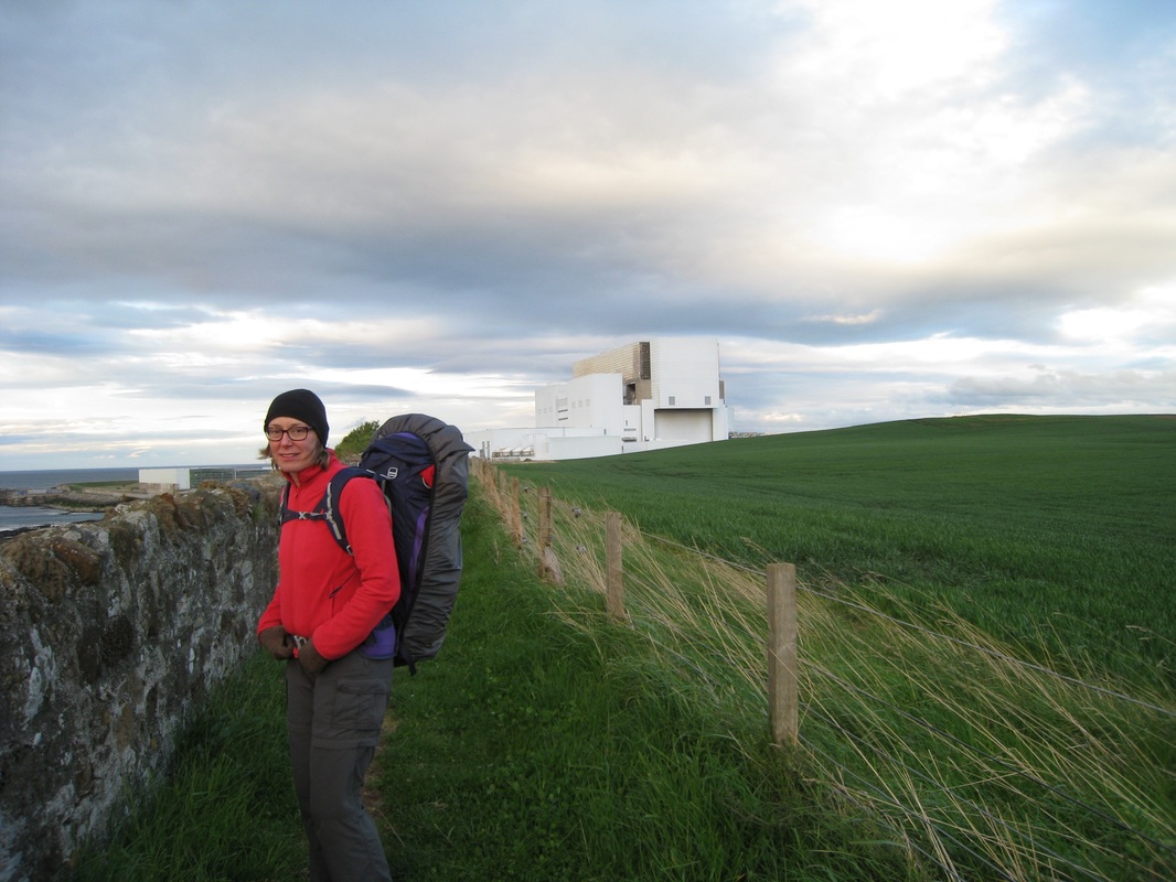
 Continuing on the John Muir Way, our route took us round the Torness Power Station on the seaward side. After about eighteen miles we could have done without the long, albeit interesting, detour round the power station. By now it was after 9.00pm and with heavy cloud above dark was settling in. With relief, we were able to see our campsite from the walkway of the power station and this encouraged us to quicken and get the walk finished.
 RSS Feed
