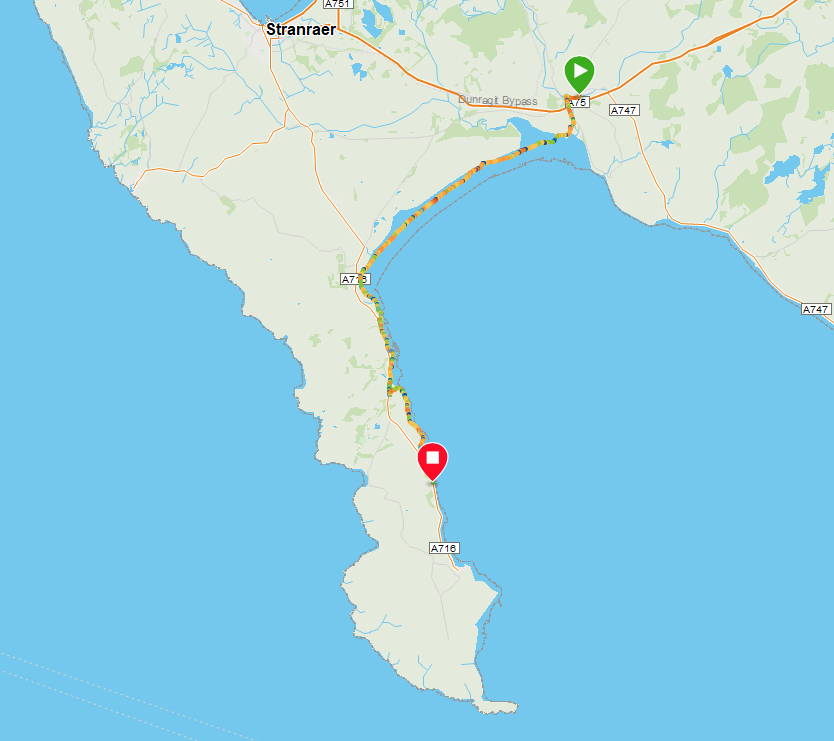
Route Map
Route Markers: Glenluce - Glenluce Viaduct - Water of Luce - Piltanton Burn - Luce Sands - Sandhead - Ardwell Mill - Dyemill - Drumantrae Bay - Ardwell - Chapel Rossan - Logan Mills - Balgowan Point - Myroch Point - Terally Bay - Terally Point
We had based ourselves in Stranraer for a few days to enable us to complete some of these walks utilising local transport. This also enables us to 'walk light', that is using just a day pack as opposed to a fuller rucksack or full camping equipment. Today's walk takes us across a military range that is generally not open during the week, so we delayed the walk until we could have access to the seven-mile long beach. The local bus dropped us at the general store in Glenluce where we had finished a previous walk and, at the other end, friends were meeting us with their campervan and returning us to Stranraer after the walk. There is a local bus that could be used to return to Stranraer.
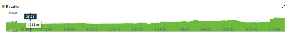
Elevation
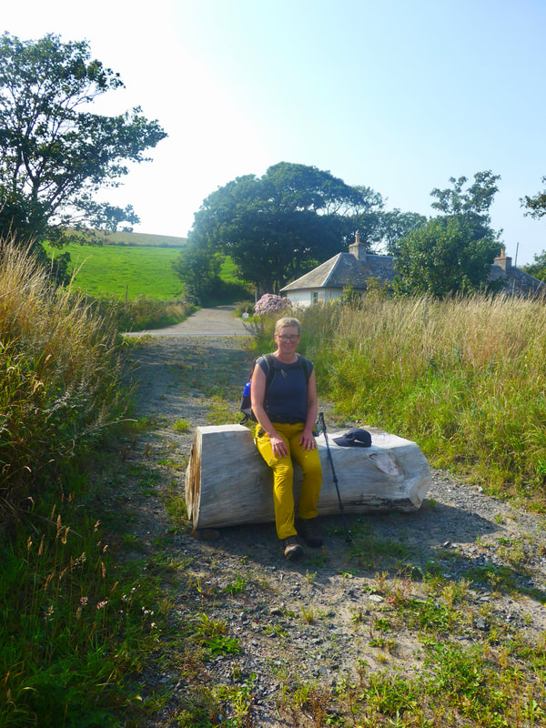
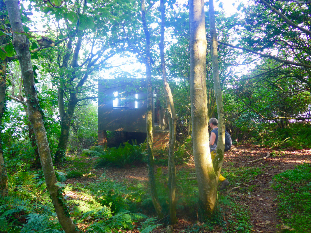
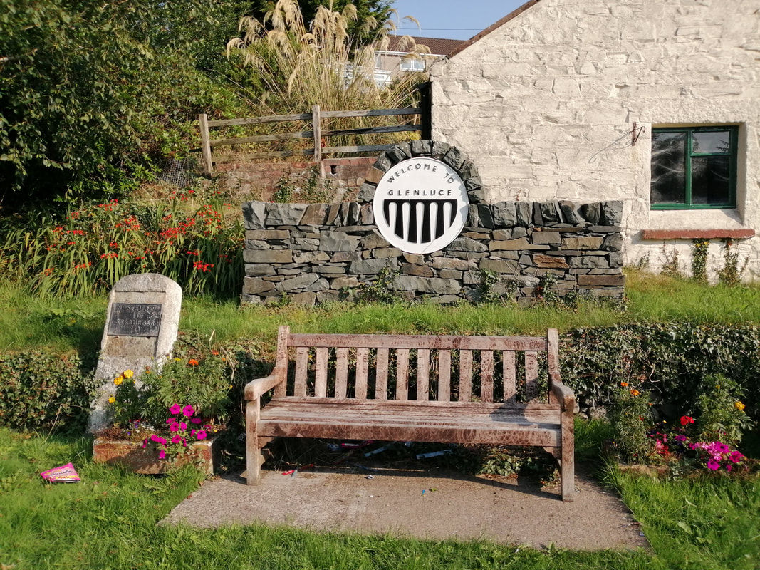 Resting Place at Glenluce
 The walk would qualify as a low-level walk, never getting above one hundred feet elevation. From the highpoint at Glenluce village, once you drop down on to Luce Sands, there is little if any height to worry about. The tide was already quite far down and diminished even more as we walked, before doing what tides do and chasing us up the sands. The weather forecast had been good and accurate and we walked in bright sunshine with a light breeze for most of the day. Our hotel had provided a packed lunch and we picked up some treats at Glenluce and then we were ready to go.
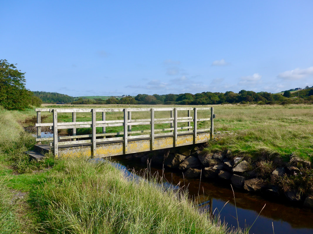
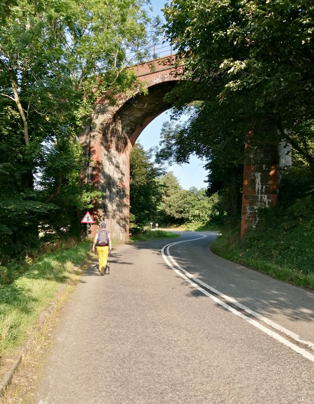 Glenluce Viaduct
 Leaving Glenluce by the main road we passed this lovely resting place just on the outskirts of the village. A number of the centres of population in Dumfries & Galloway have their own motifs and we particularly like this one displaying the impressive Glenluce Viaduct.
Continuing along this road, passing the first junction, the route passes the viaduct which crosses over the Water of Luce. Opened in 1861, the magnificent Glenluce Viaduct has eight brick arches, each of which has a span of 42-feet. It was originally part of the Port Patrick Railway and functioned until it became one of the many casualties of the Beeching cuts in 1965.
Continuing along this road, passing the first junction, the route passes the viaduct which crosses over the Water of Luce. Opened in 1861, the magnificent Glenluce Viaduct has eight brick arches, each of which has a span of 42-feet. It was originally part of the Port Patrick Railway and functioned until it became one of the many casualties of the Beeching cuts in 1965.
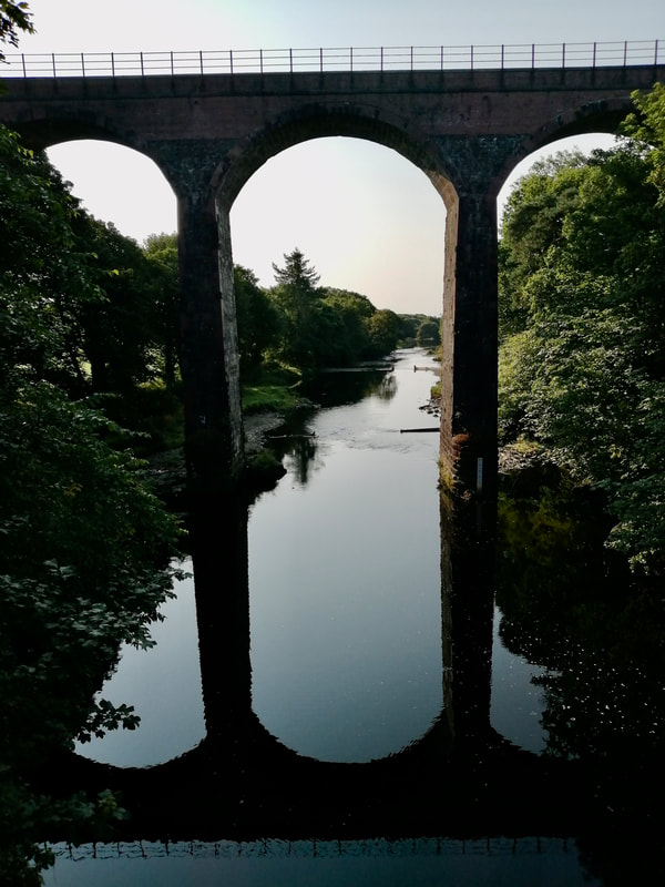 Glenluce Viaduct
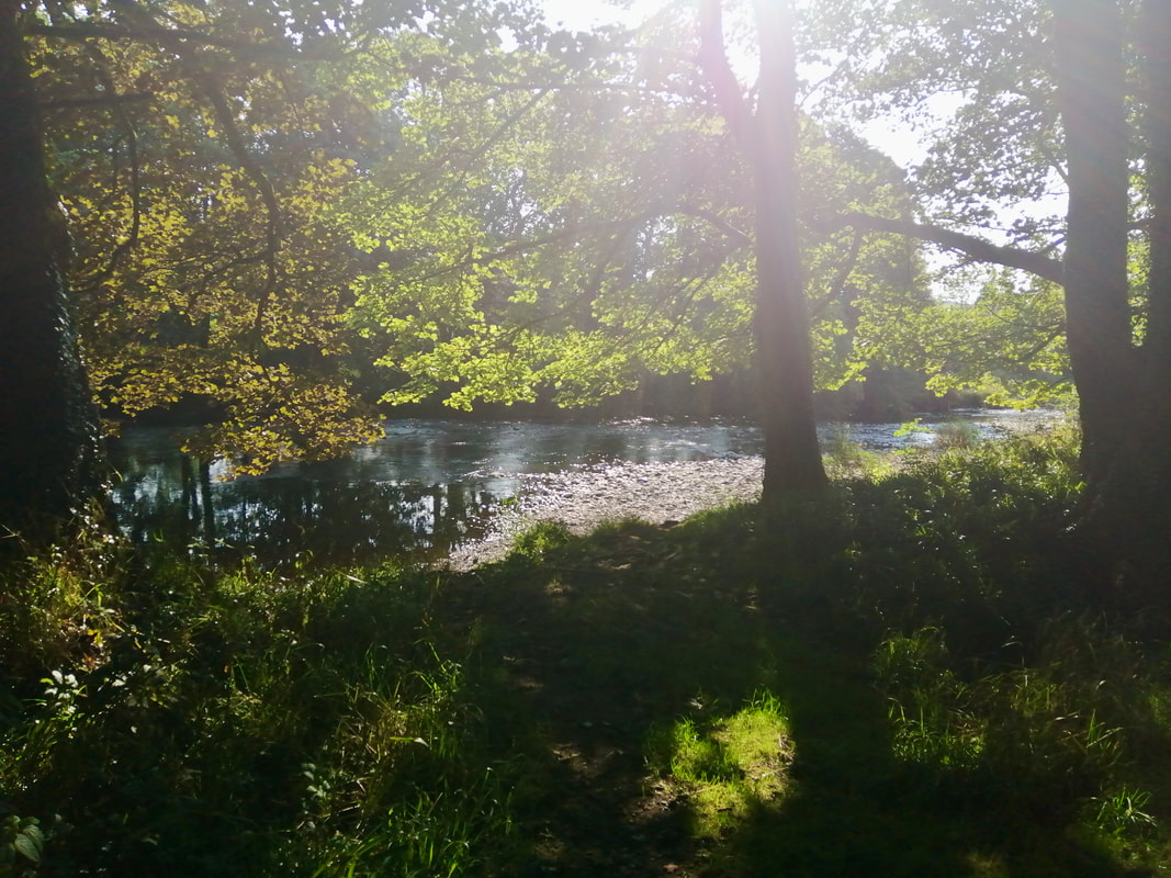
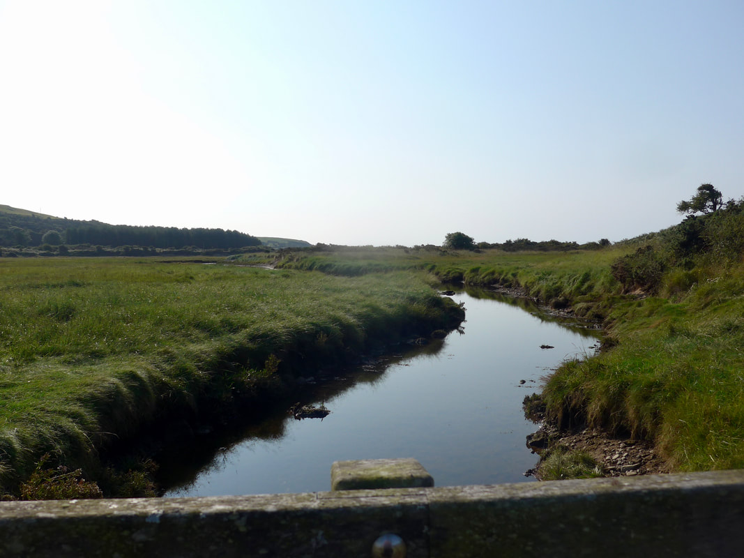
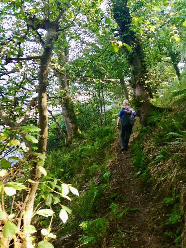
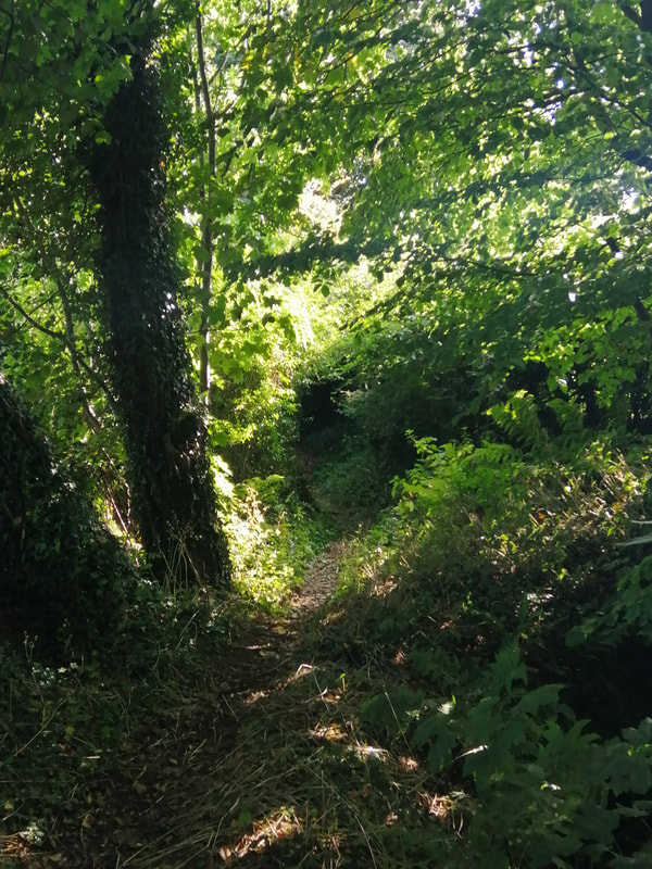
 Shortly after passing under the viaduct the route moves off the main road and on to a grass path that runs down the side of the Water of Luce. It is a lovely little interlude, a river and woods walk filled with interesting perspectives on the river and the dappled-shade-filled dells amongst the trees. Dust motes danced in the bright shafts of light, droplets of water shimmered on the wild flowers on the riverbank and , in the river itself, tall stands of reeds drummed quietly in the summer breeze. It was just delightful!
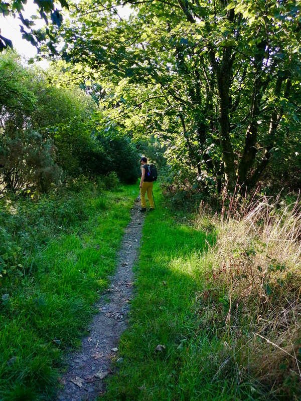
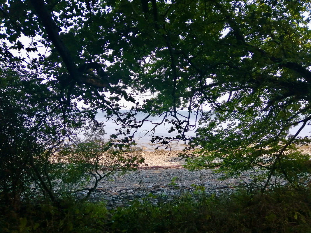
The path exits from the woods on to the approaches to the Wigtonshire County Golf Club, tall grasses bowing gently as we passed through. There is a small water feature here, an inlet off the sea, over which there is a small footbridge. The footbridge deposits you on an area called St Helena Island and from there it is a short walk on to the beach.
The path exits from the woods on to the approaches to the Wigtonshire County Golf Club, tall grasses bowing gently as we passed through. There is a small water feature here, an inlet off the sea, over which there is a small footbridge. The footbridge deposits you on an area called St Helena Island and from there it is a short walk on to the beach.
Water of Luce

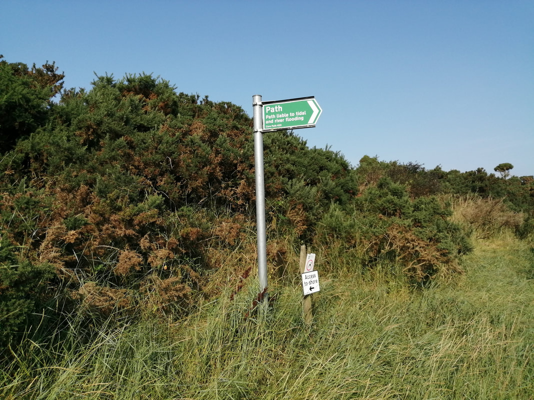
 Sea Inlet / Drainage Ditch
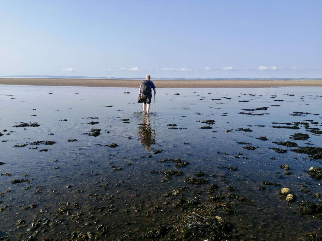
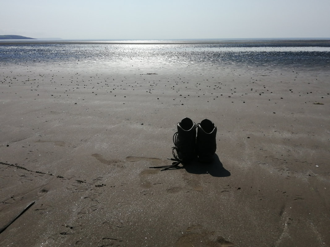
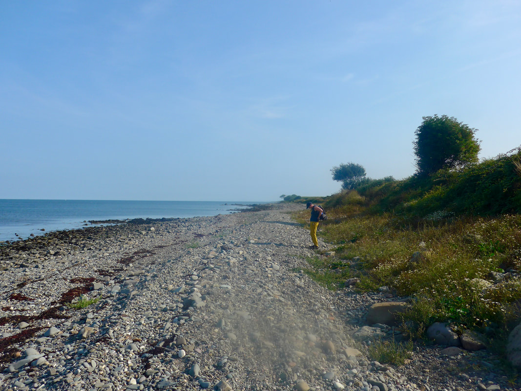
 The Piltanton Burn lies in front of you and needs to be waded. On the approaches to the burn the ground is dirty sand and small pebbles, nothing like the beauty of the later beach. The Piltanton is a tidal water, so you need to pick your time, as the sign post above makes clear. We had tried to time our walk today to coincide with low tide, hoping it would mean that we would just be able to walk over the Piltanton Burn. It was not to be. When we arrived on its banks, despite the low level of the sea, there were still runs in the water where the depth was knee high. No option other than off with the boots and socks and in to the cold, cold water. To be honest, it was not too bad, no great current and, after walking in bare feet for ten minutes or so the feet had dried and warmed up enough to put the gear back on.
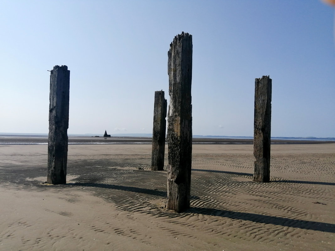
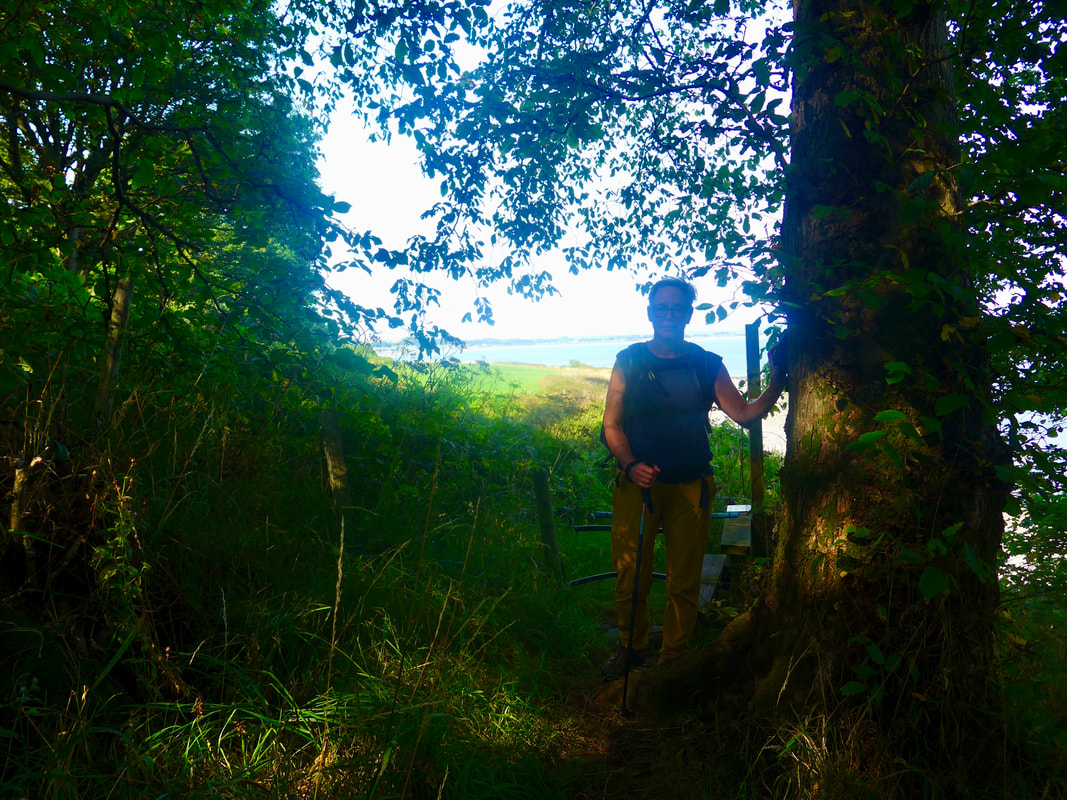
St Helena Island
 To Luce Bay
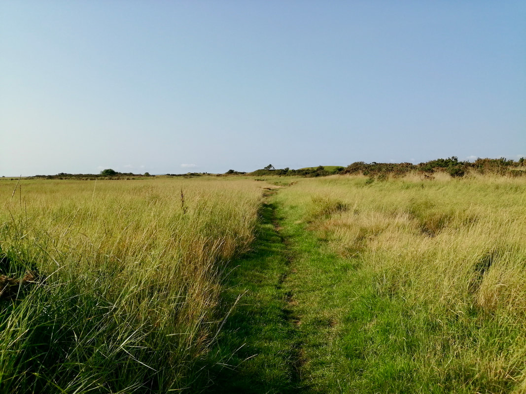
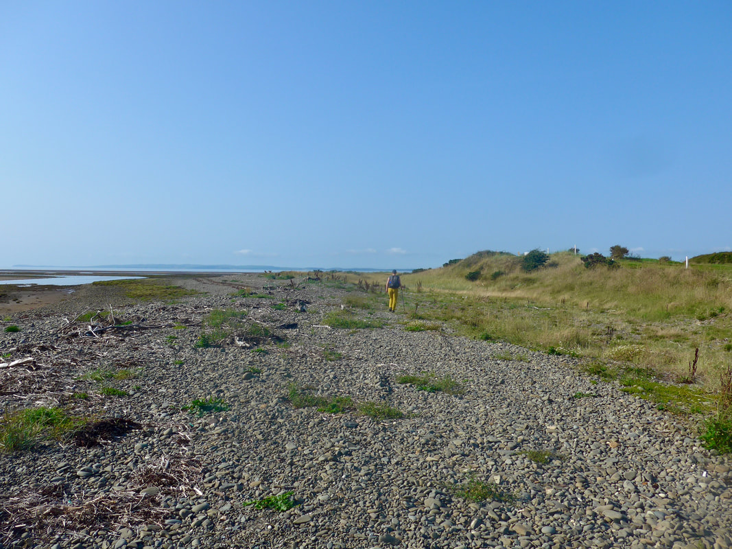
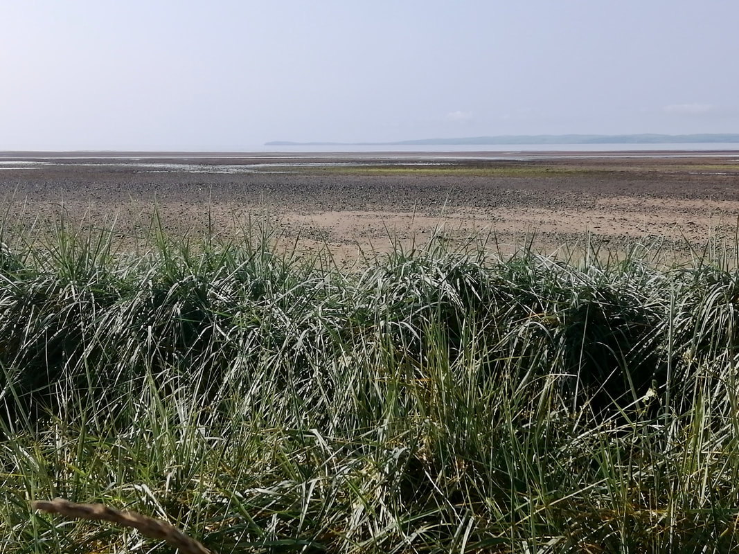
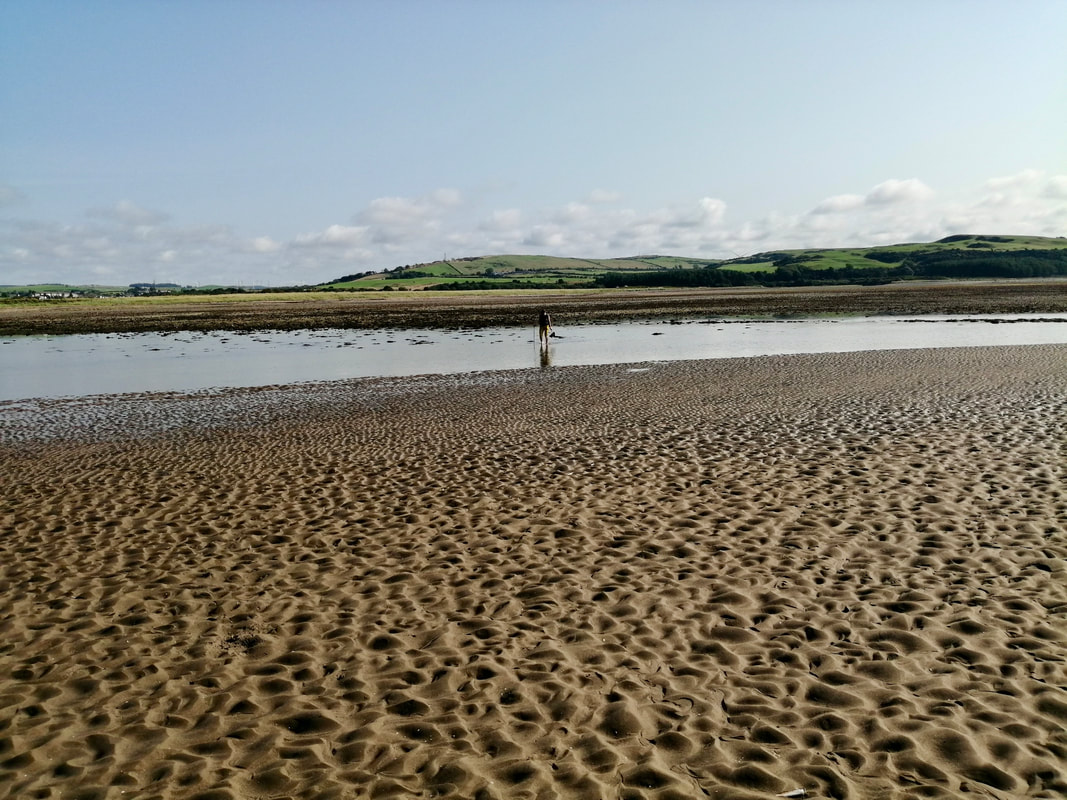
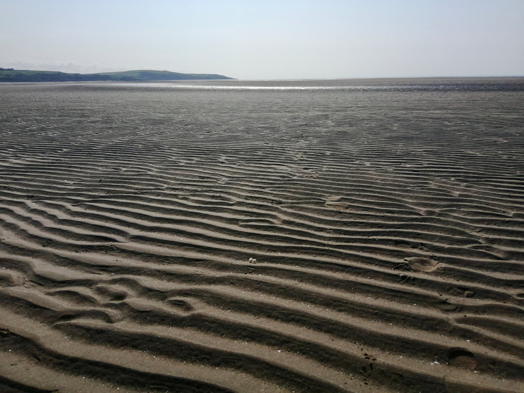
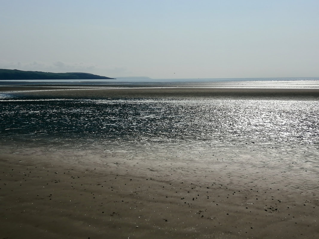
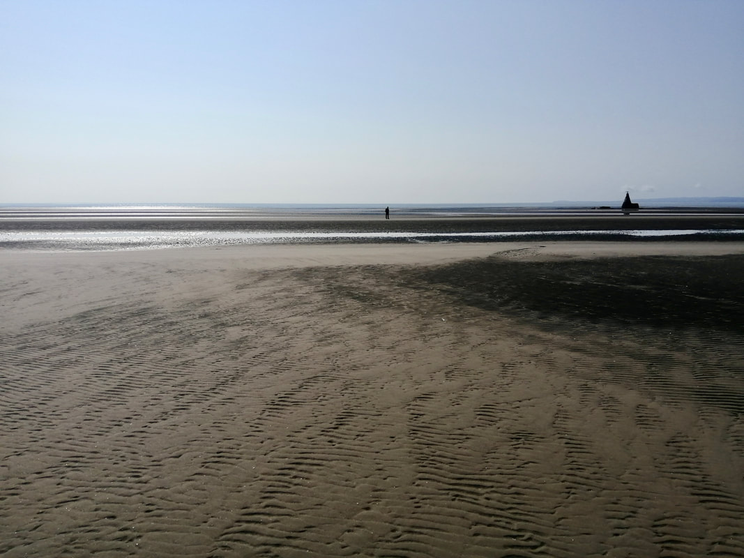
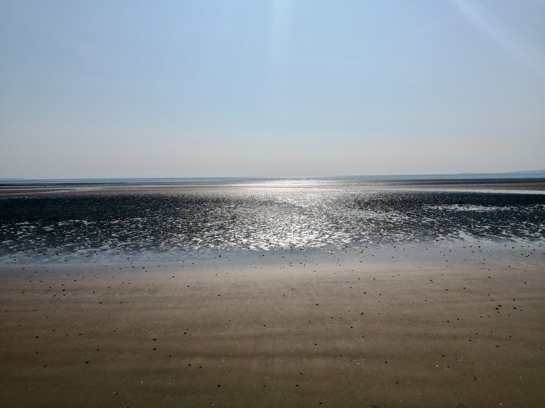
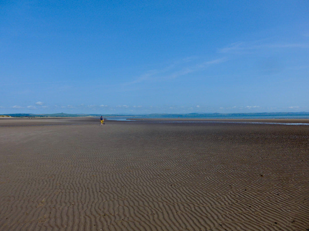
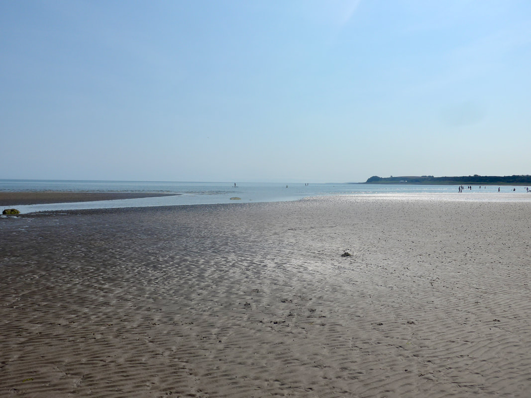
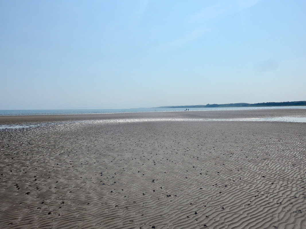
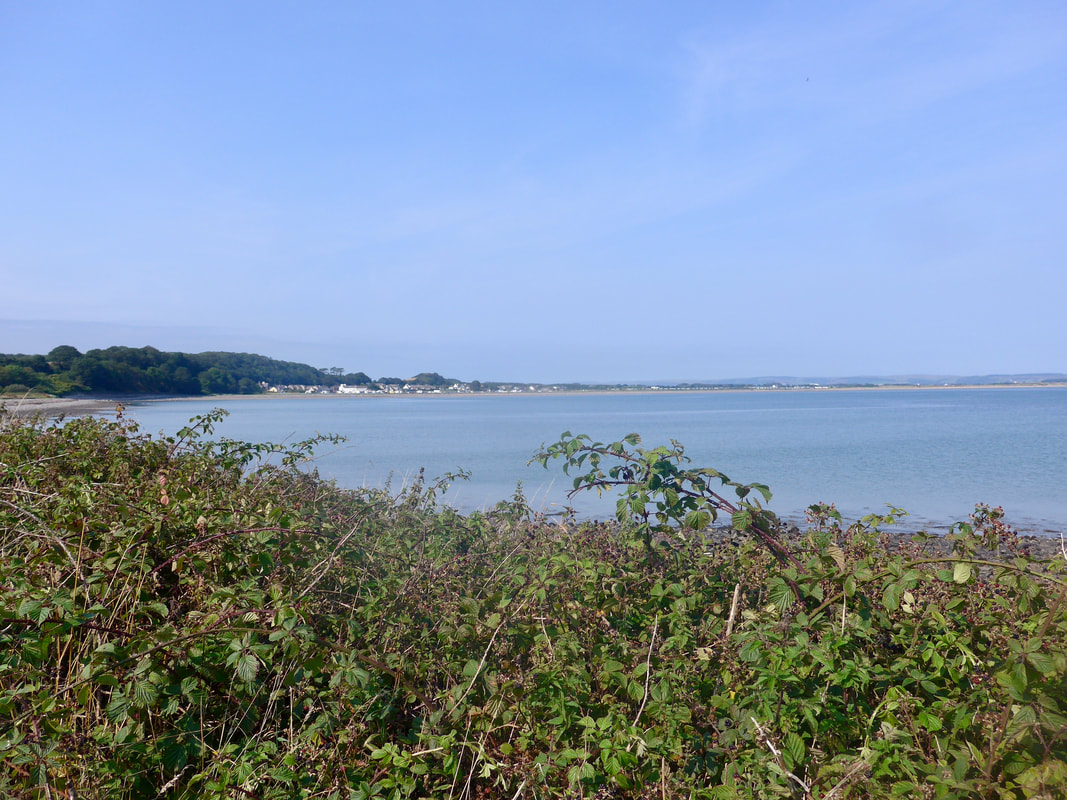
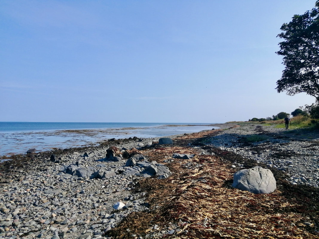
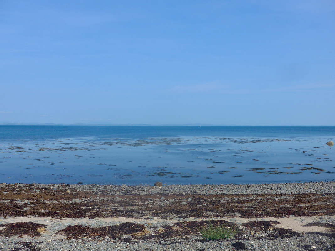
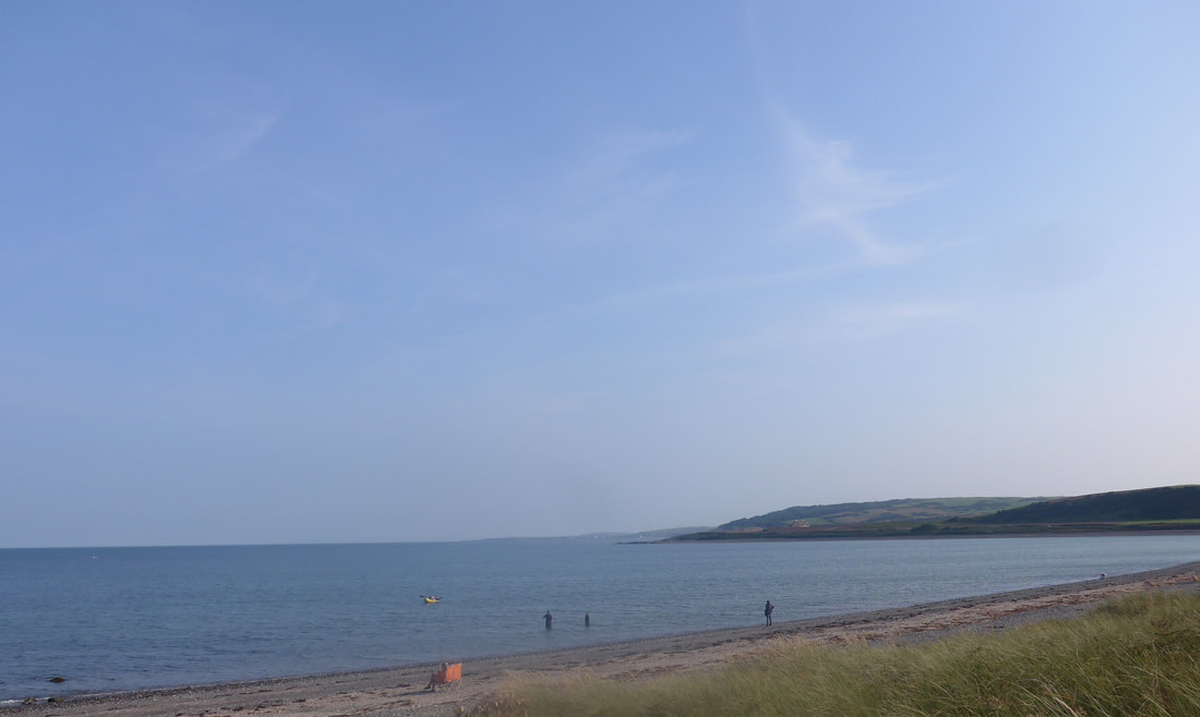
 Beyond the Piltanton Burn, Luce Sands, at low tide and on a bright, sunny day has a wonderful sense of light and space. The firm sand stretches out in front of you for about seven miles but they seem endless as they reach out to the far horizon. The only drawback with the sand is that it is heavily ridged by the tide and I found it uncomfortable to walk on after a couple of miles.
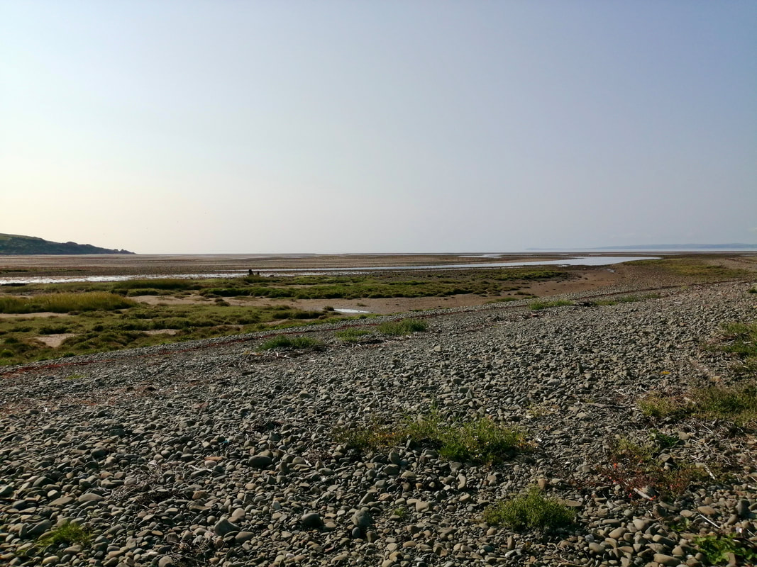
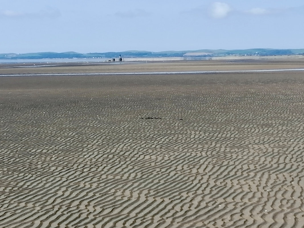
From the sands you are looking out over Luce Bay which is twenty-miles across at its widest point. The range was in use from the 1930's by the RAF as a bombing range. In the 1990's, responsibility for the range was passed to a private company 'QinetiQ', who now operate this range and many others on the MoD's behalf. The company is a major provider of various targets for live-fire training, estate management as well as the testing and evaluation of weapons systems. Luce Bay is still considered to be MoD property and is used for training, testing and evaluation purposes on a regular basis, therefore, access is restricted.
From the sands you are looking out over Luce Bay which is twenty-miles across at its widest point. The range was in use from the 1930's by the RAF as a bombing range. In the 1990's, responsibility for the range was passed to a private company 'QinetiQ', who now operate this range and many others on the MoD's behalf. The company is a major provider of various targets for live-fire training, estate management as well as the testing and evaluation of weapons systems. Luce Bay is still considered to be MoD property and is used for training, testing and evaluation purposes on a regular basis, therefore, access is restricted.
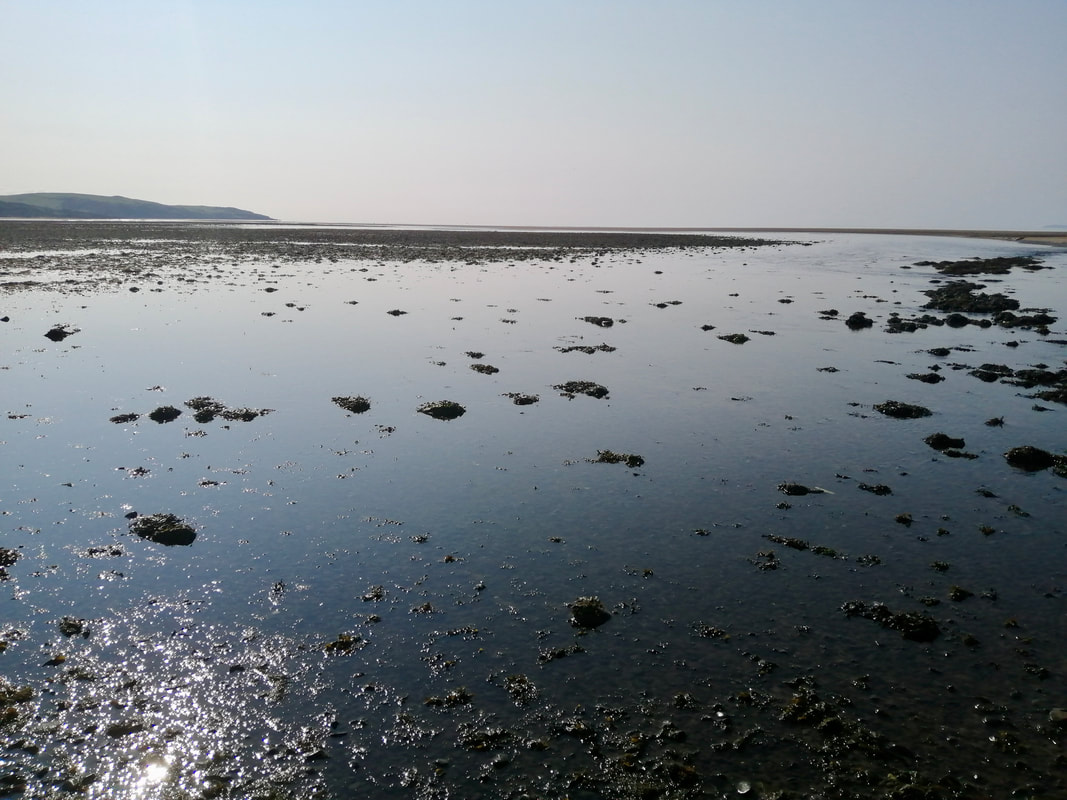
Luce Sands
 Crossing Piltanton Burn
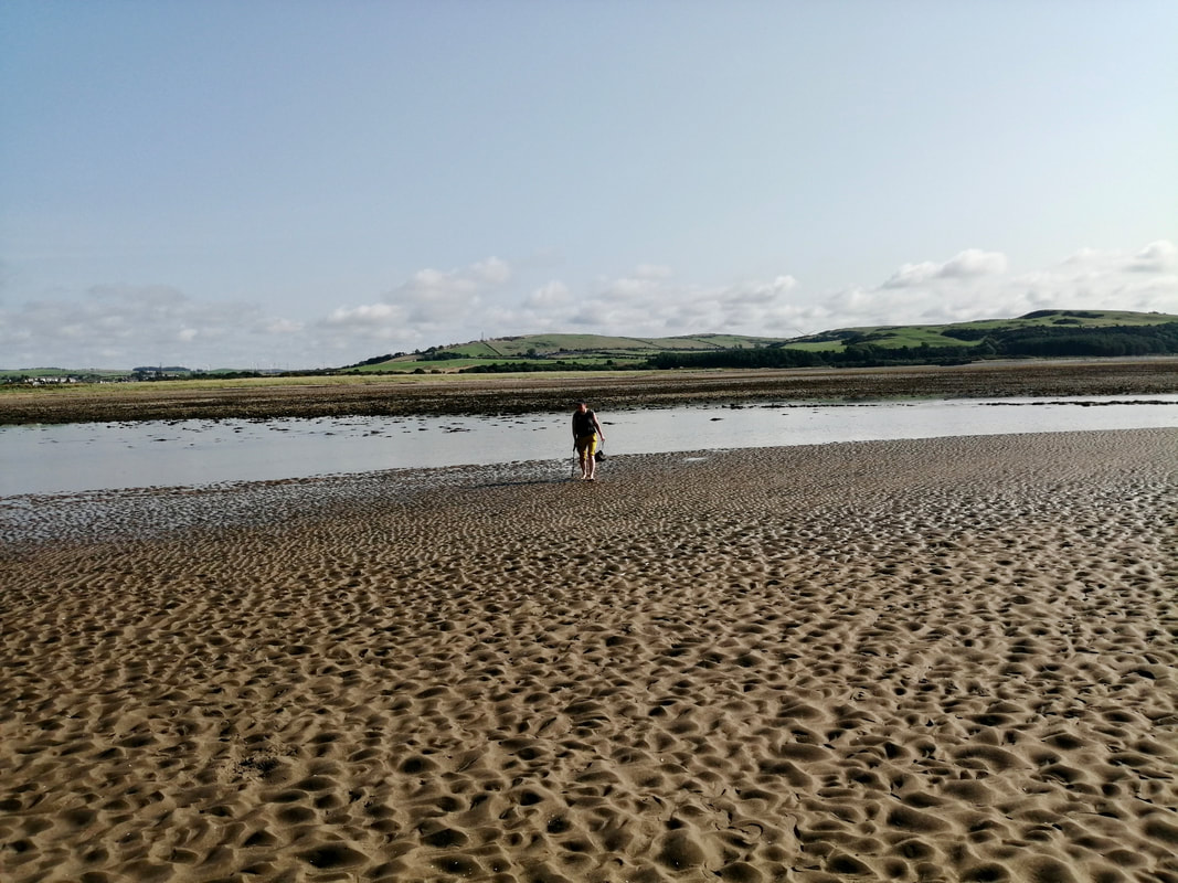
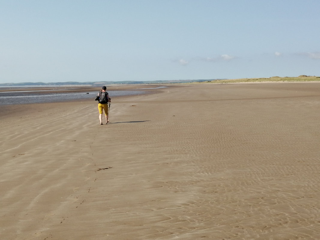
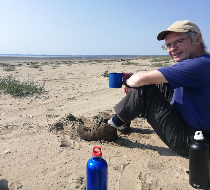
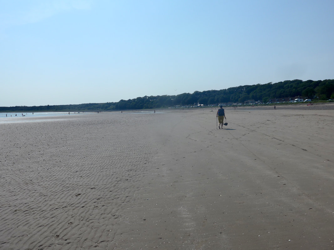
 Despite the fact of a long day ahead of us, we were content to meander slowly along the beach, enjoying the nice sense of freedom such cathedrals of light and space provide. The texture of the walking surface kept changing from very flat, even sand to high ridges which at times was a bit uncomfortable to walk on. About mid-way along we stopped and sat up against the sand dunes, brewed up and just enjoyed the peace and tranquility of the day and the sun on our face.
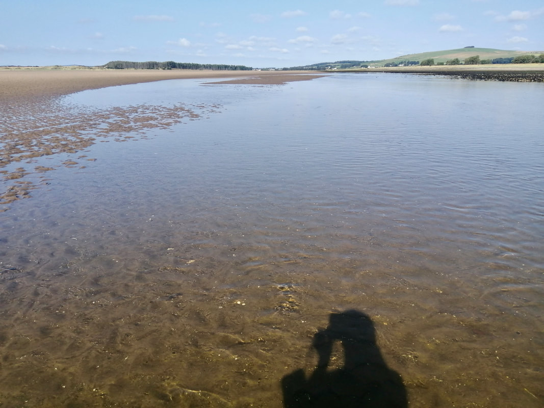
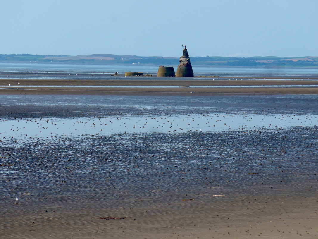
At times we were down by the water's edge, at others walking along the back of the beach admiring the dunes and the various grasses that grow there. In such circumstances Joanna and I seldom walk together, giving ourselves the freedom to roam across the space to our heart's content. Sometimes coming together; other times hundreds of yards apart. At various points on the walk there are bombing targets set in the water that proved very useful as progress markers. Sometimes it is difficult to have a sense of onward progression on very long straight sections and it is useful to try and find a marker that breaks up the land.
At times we were down by the water's edge, at others walking along the back of the beach admiring the dunes and the various grasses that grow there. In such circumstances Joanna and I seldom walk together, giving ourselves the freedom to roam across the space to our heart's content. Sometimes coming together; other times hundreds of yards apart. At various points on the walk there are bombing targets set in the water that proved very useful as progress markers. Sometimes it is difficult to have a sense of onward progression on very long straight sections and it is useful to try and find a marker that breaks up the land.
Luce Sands Perspectives
 Happy Chappy!
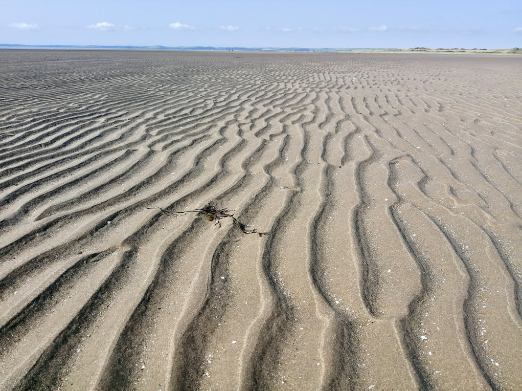
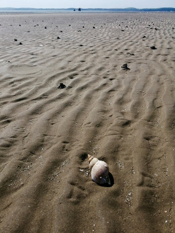
 Luce Sands provided a number of different perspectives from which to view the wonders of the natural world. The wonderful repetitive patterns in the sands; the whorls on the seashells; the intricate folding of flower petals and, the timeless, constant churning of the waves. The sense of light and shade on the walk is a constantly changing feast from the shimmering glitter of surface water, to the changing shades of the ground surface and its interaction with natural light, it was a joy to behold. One of the constant lessons being reinforced on long walks in the ubiquity of impermanence. From the vanishing footsteps you leave behind you in the sand, to the gradual erosion of the coastline, all teaching us the lesson of impermanence.
Luce Bay & Sands
The solitude of the Luce Sands walk and the reverence of the day were increasingly undone as we approached the popular seaside resort of Sandhead. From some distance away we could hear the shouts and cries of children on the light breeze. One or two people at first, mainly dog walkers, and then more and more as we approached the resort itself. Unwilling to give up the calm and tranquility of the day we passed through quickly. On another day we might have been happy to sit on the busy beach and watch all the activity, but solitude is a quite addictive quality that is not easy to give away.
Approaches to Sandhead
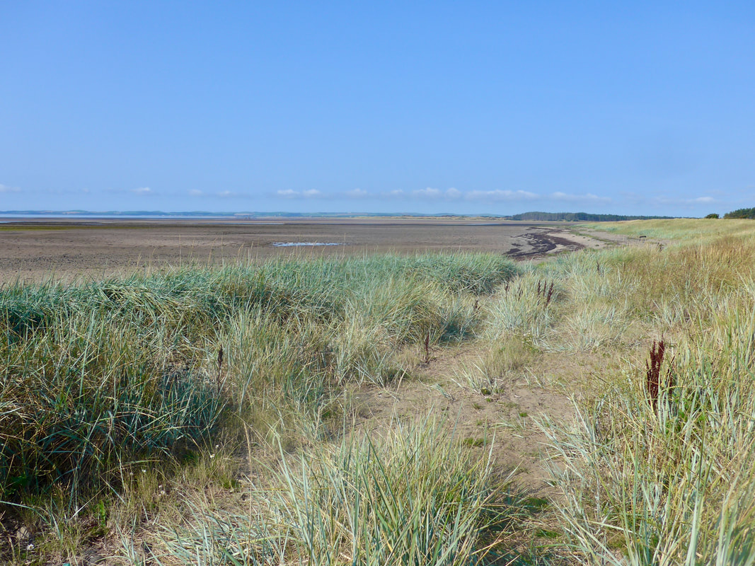
 Looking to The Machars Peninsula
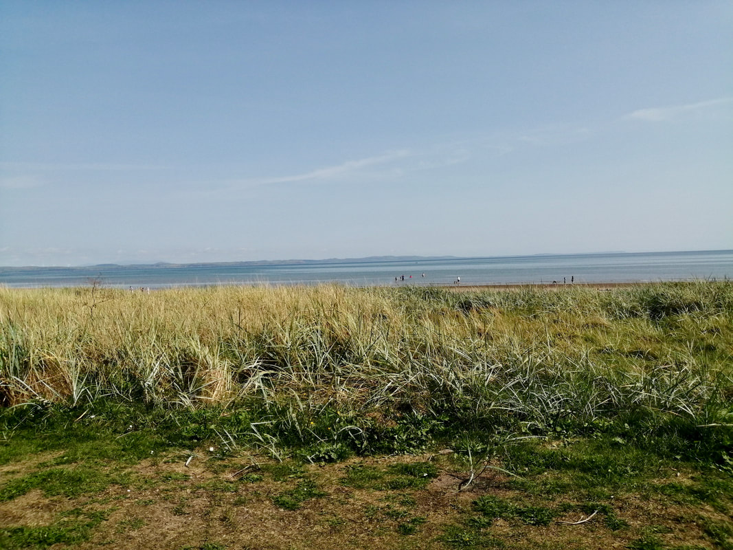
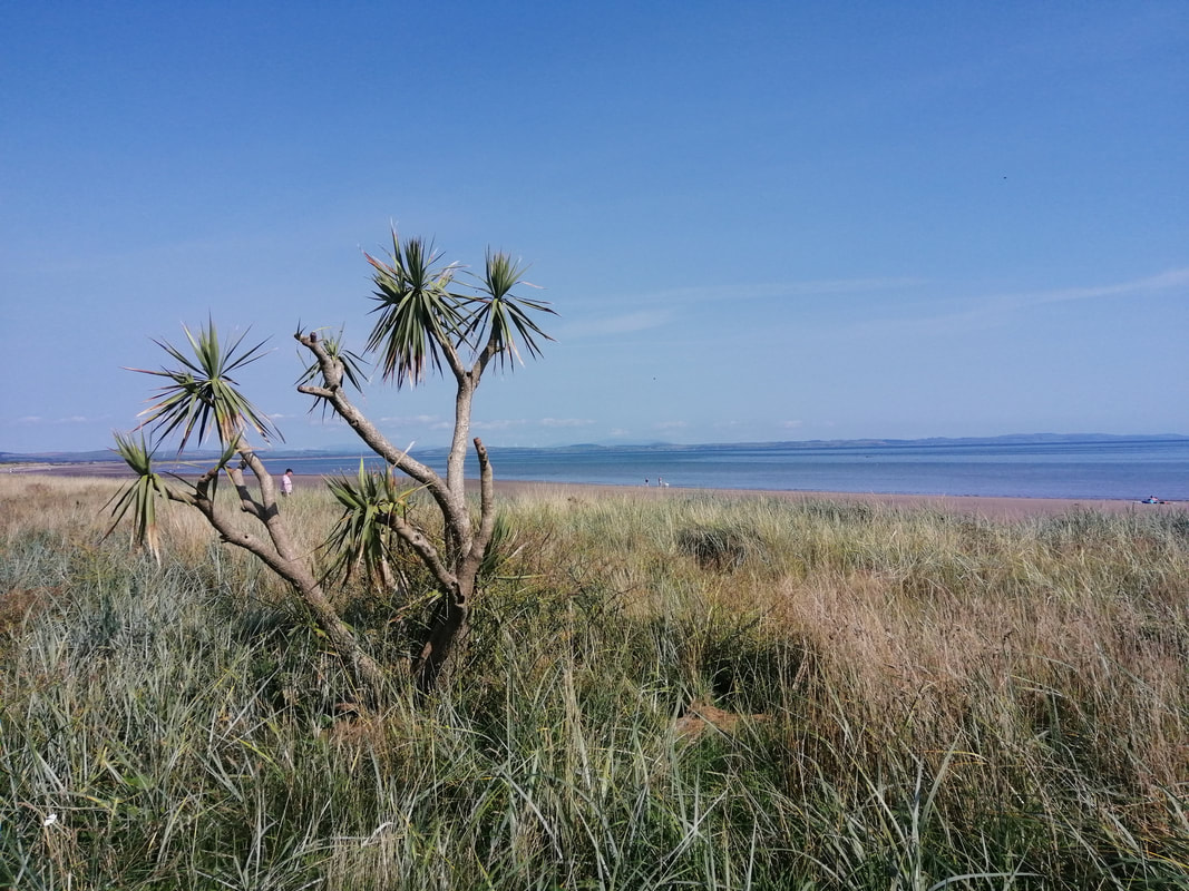
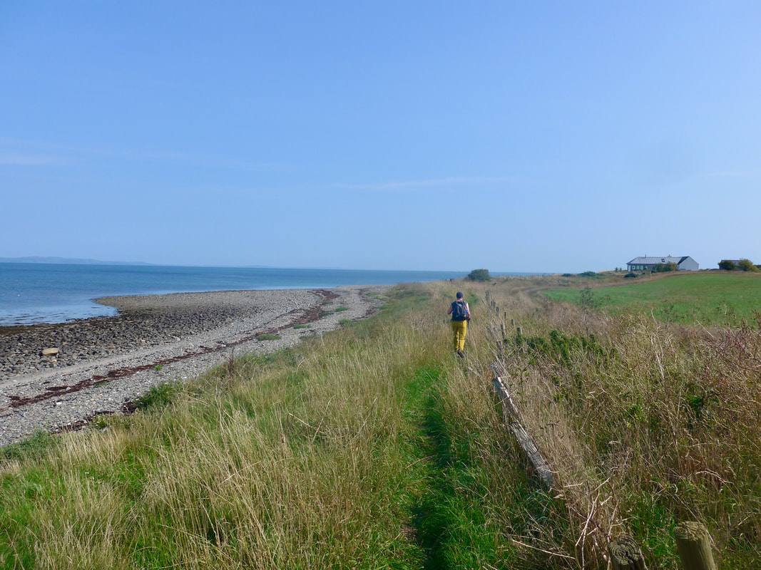
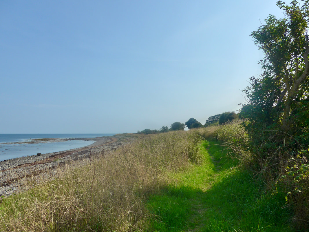
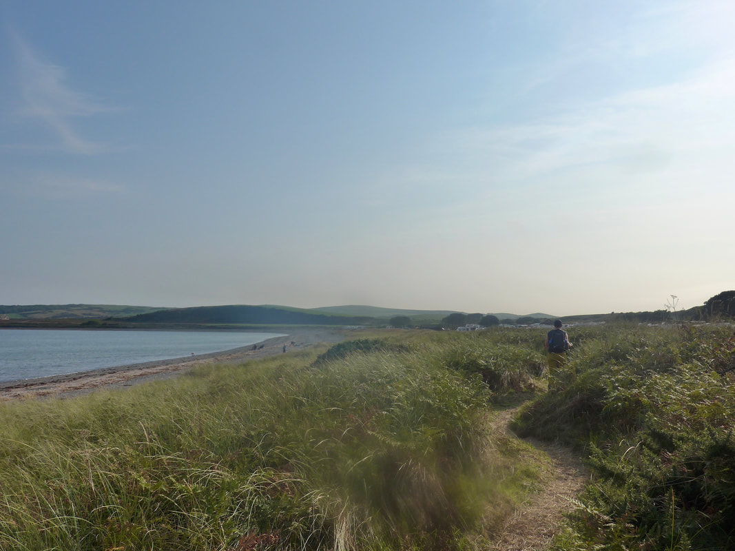
 From the end of Sandhead Bay the route continues on a path at the back of the beach, running parallel with the A716. You are walking now on the Mull of Galloway Trail that commences in Stranraer and ends at the tip of the Mull. Despite the nearby presence of the road it was quiet enough not to intrude too much on continued musings.
The walk itself is enough of a distraction as you pass from hamlet to hamlet and one lovely, small bay to another. The walking is primarily on a rough grassy path, occasionally pebbles, and it can be quite over-grown in parts. The views from the path out across Luce Bay to the The Machars peninsula are just sublime. The climate here is subject to the Gulf Stream and you can find some exotic plants growing wild in the low sand dunes.
The walk itself is enough of a distraction as you pass from hamlet to hamlet and one lovely, small bay to another. The walking is primarily on a rough grassy path, occasionally pebbles, and it can be quite over-grown in parts. The views from the path out across Luce Bay to the The Machars peninsula are just sublime. The climate here is subject to the Gulf Stream and you can find some exotic plants growing wild in the low sand dunes.
Ardwell Mill to Sandhead
Just after Sandhead the path goes through Ardwell Mill. The mill in question lies back from the shore and was in its time a meal mill and granary. Originally a watermill, powered by a mill-pond and lade, in later years it was powered consecutively by a turbine (1945) and later by electric motor (1955). The mill was last used in 1963 and latterly used for storage.
Approaches to Dyemill
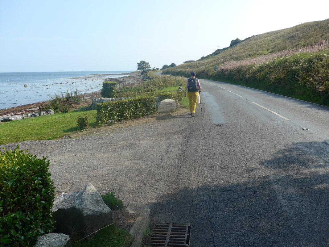 Dyemill House
 Just after Ardwell Mill the path moves in to a short woodland section that gave us some respite from the heat of the day. Although there was a light breeze blowing, it was more of an Eastern mistral than a Scottish wind and did little to cool you down. The shade of the trees did the trick and the play of light in the dancing light-filled dells showed another side to the sun. The walking on this section was a bit unstable and rough underfoot.
Coming off the woodland section is the aptly named Dyemill, the house of the same name situated just above the shore and where we needed to take to the road to go round it. This unusual mill was used to mill seaweed (18th C) to acquire a brown dye.
Coming off the woodland section is the aptly named Dyemill, the house of the same name situated just above the shore and where we needed to take to the road to go round it. This unusual mill was used to mill seaweed (18th C) to acquire a brown dye.
Drumantrae Bay
 Longrigg Plantation
 We walked on the road until the next settlement which was the hamlet of Ardwell, part of which is still owned by the local Ardwell Estate. Ardwell House sits on the other side of the road in private grounds, the earliest known date for the house is 1719. The house is not open to the public but the 18th / 19th C woodlands and garden are open to the public between April & September under the auspices of Scotland's Gardens Scheme.
Also in the grounds of the estate are the remains of a motte (motte & bailey castle), while well to the rear of the main house, below Long Park Hill, are the ruins of the Medieval (Mid-16th C) Killaser Castle, the ancestral home of the McCulloch family, who formerly held Ardwell. In an earlier walk we passed by Cardoness Castle, west of Gatehouse of Fleet, which was also owned by the McCulloch's who in Medieval times were a formidable Galloway family, particularly in this area.
Also in the grounds of the estate are the remains of a motte (motte & bailey castle), while well to the rear of the main house, below Long Park Hill, are the ruins of the Medieval (Mid-16th C) Killaser Castle, the ancestral home of the McCulloch family, who formerly held Ardwell. In an earlier walk we passed by Cardoness Castle, west of Gatehouse of Fleet, which was also owned by the McCulloch's who in Medieval times were a formidable Galloway family, particularly in this area.
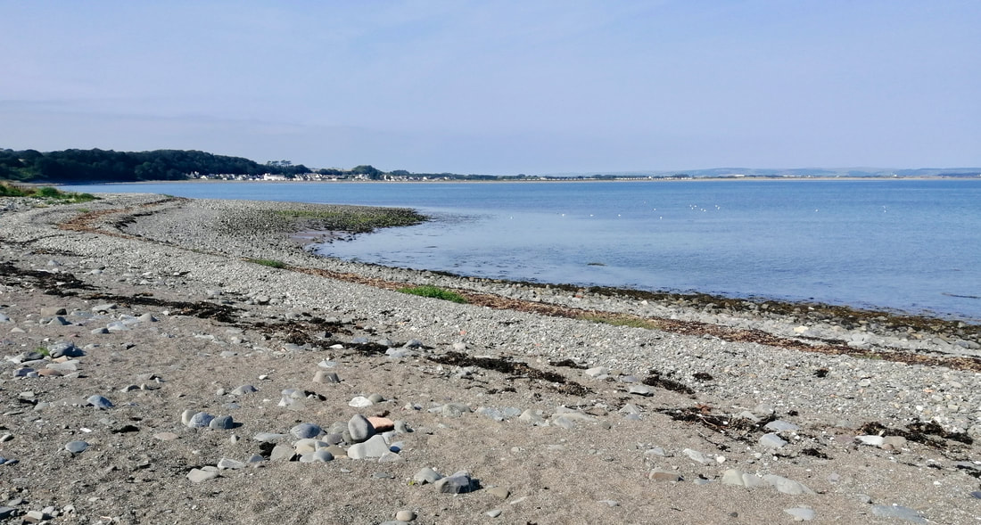
 Chapel Rossan Bay
 From Ardwell the route moves on to cross over Chapel Rossan Bay. The beach here is mainly shingle and gravel but some sand is exposed at low tide. It was not a very easy section to walk on, the gravel and shingle moving under the weight of your foot and putting pressure on the ankles and calves.
I can find no references to a chapel or church on this location. However, there is reference to a house of that name on the Ardwell Estate, visible on the OS Map of 1847 / 48 and described in the New Statistical Account of 1839 as 'erected as a porter's lodge' and used as a 'factors' house by the local estate.
I can find no references to a chapel or church on this location. However, there is reference to a house of that name on the Ardwell Estate, visible on the OS Map of 1847 / 48 and described in the New Statistical Account of 1839 as 'erected as a porter's lodge' and used as a 'factors' house by the local estate.
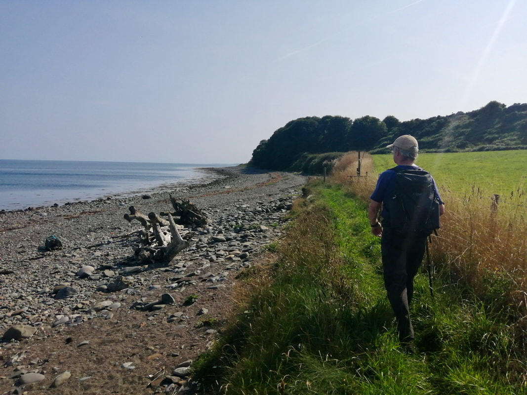
 Back to Luce Bay
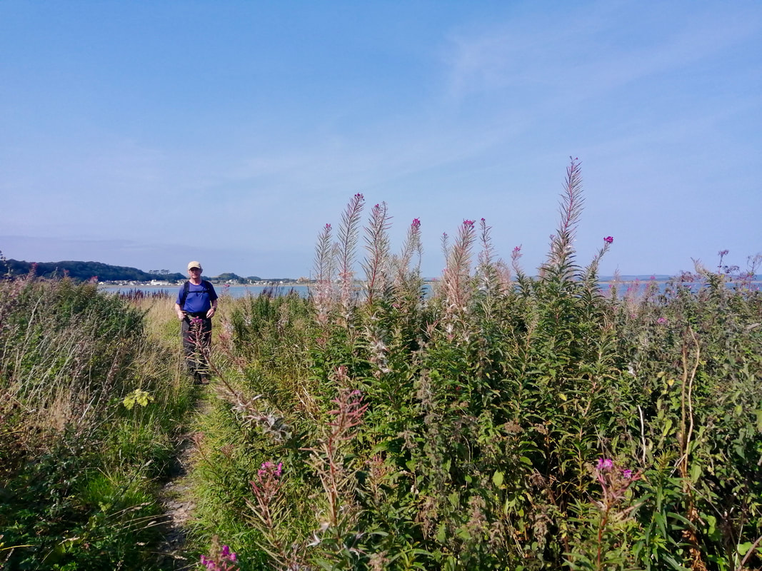
 After crossing Chapel Rossan Bay, the path moves in to another short woodland section that gave us some respite from the heat of the day. Although there was a light breeze blowing, it was more of a mistral than a Scottish wind and did little to cool you down. The shade of the trees did the trick and the play of light in the dancing light-filled dells showed another side to the sun. The walking on this section was a bit unstable and rough underfoot but manageable. There were nice glimpses of the shore and sea to be had through the occasional gaps in the trees.
Logan Mill to New England Bay
 Vicinity of Logan's Mill
 It was about now that the long walk on the sands of Luce Bay and the heat of the day began to take its toll on us. About the twelve or thirteen mile mark the legs began to tighten, the feet to ache and the shoulders to hunch up just below the ears. Walking on the pebble beach did not help matters and we both began to wish for the day to end. Exiting from the plantation we continued to walk along a grassy path to the back of the beach. The OS Map shows the ruins of a windmill at this location, as well as the ruins of Logan's Mill. Logan's was another grain mill, built in a 'vaulted tower' design. It can be seen on the nearby hillside. Logan's is thought to have been built (pre-1684) to replace the ruined windmill (a meal mill).
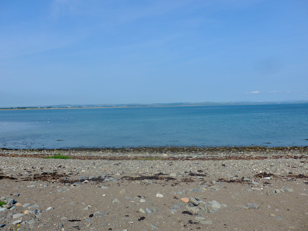
 New England Bay
 The stretch from Logan's Mill offered up some lovely views across the bay but it was hard going. We were due to meet with friends at Terally Bay for the walk to Terally Point and were quite late in our walk. We pushed on to try and gain some time but it was difficult walking at any speed on the constantly moving gravel and pebbles. I remember little about the land or seascape of this section as I put the head down and tried to forget the pain in my legs and feet. It took all my commitment when we met up with John and Janice at New England Bay not to ask them to go and bring the camper van to our location. Such is the things of which heroes are made!
It is amazing the effect company can have on you. Sharing the joys of our day with our companions went some way to re-invigorating us for the final mile or so to Terally Point. Even more invigorating was Januic'e news that she had dinner made for us in the van and it only had to be heated up to be available. And so our day ended as all good walking days should with a sharing of stories and the breaking of bread with fine companions. After a our meal with John and Janice they kindly drove us back to our hotel in Stranraer before returning to their camp spot for the night at Port Patrick where we would meet them at the end of our walk tomorrow.
It's as well sometimes that you do not know what tomorrow brings!
It's as well sometimes that you do not know what tomorrow brings!
 RSS Feed
