Route Map
It had been a wet and stormy night and the sound of the rain beating on the canvas had pretty much prevented sleep, so we were both very tired even before we started. Fortunately, it was dry when we packed up, which made things easier. However, getting out of the sleeping bag was difficult as it was cold and damp from the overnight rain and enthusiasm was in short supply. We have been walking now for almost four weeks and there is a cummulative element to our tiredness that is not sorted by one night's sleep. Once we made the effort though, the porridge and coffee warmed us up, albeit the effect was fairly short term.
Just below the campsite there is a small cafe and I had hoped to talk Joanna Elizabeth in to a second breakfast but no such luck as the place was still closed when we passed by.
Just below the campsite there is a small cafe and I had hoped to talk Joanna Elizabeth in to a second breakfast but no such luck as the place was still closed when we passed by.
Because of the set up of OS maps, we had no paper map for most of today's route. That is because in the system where two maps meet there is a gap and we had not noticed it when buying the maps. We had planned the trip using the OS internet service. Fortunately, I could use the phone as a GPS so no great hassle.
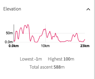
We did not have Garmin today either, as it had not charged overnight, so no walk management tool, hence the OS version above as a route map. There are different points of view about using Garmins etc., to manage walks. I swear by them. Not only to record the actual route walked, but also to actively manage the walk in real time in terms of how far you have walked, how fast you are walking, distance still to walk.
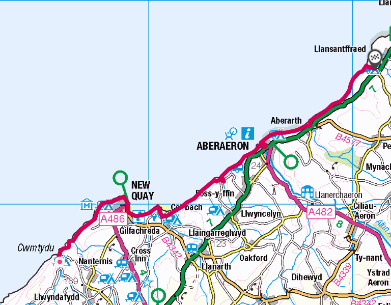
My notes for today tell me the route today is broken down in to three clear stages: 4 miles to Newquay; 6 miles to Aberaeron and, 4 miles to Llannon. The heavy walking is at the front end of the trail, including the highest point of the day at one hundred metres (over three hundred feet) above New Quay. The last section, Aberaeron to Llannon is easier, on a more level trail, albeit a small rise or two at the end.
We did not have Garmin today either, as it had not charged overnight, so no walk management tool, hence the OS version above as a route map. There are different points of view about using Garmins etc., to manage walks. I swear by them. Not only to record the actual route walked, but also to actively manage the walk in real time in terms of how far you have walked, how fast you are walking, distance still to walk.
My notes for today tell me the route today is broken down in to three clear stages: 4 miles to Newquay; 6 miles to Aberaeron and, 4 miles to Llannon. The heavy walking is at the front end of the trail, including the highest point of the day at one hundred metres (over three hundred feet) above New Quay. The last section, Aberaeron to Llannon is easier, on a more level trail, albeit a small rise or two at the end.
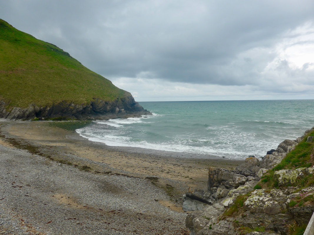 Cwmty Beach
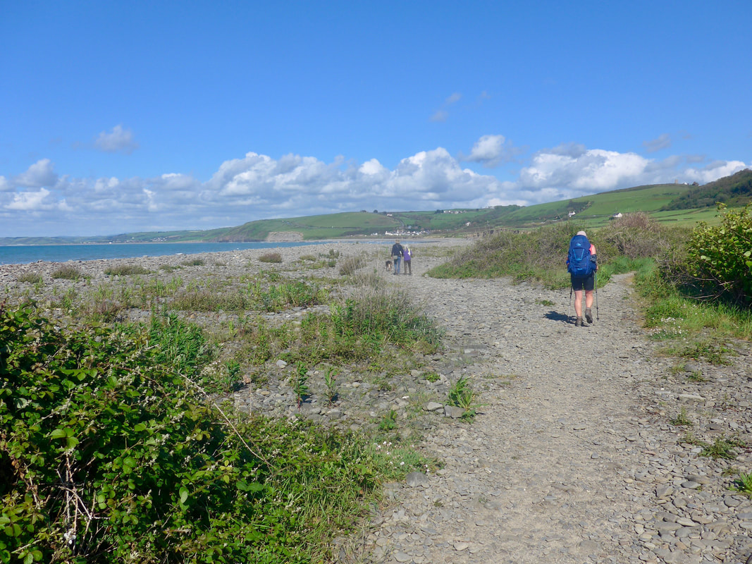
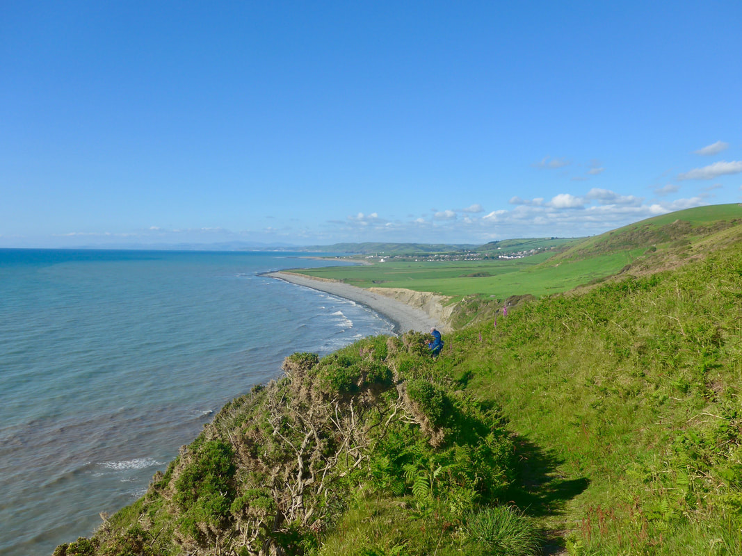
 After leaving the campsite the path drops down through the very small settlement to Cwmtydu beach to take up the coastal path just above the seawall. A female dog walker, all wrapped up against the elements literally ran to catch us up to tell us how hard and beautiful the walk was going to be. She was right on both counts.
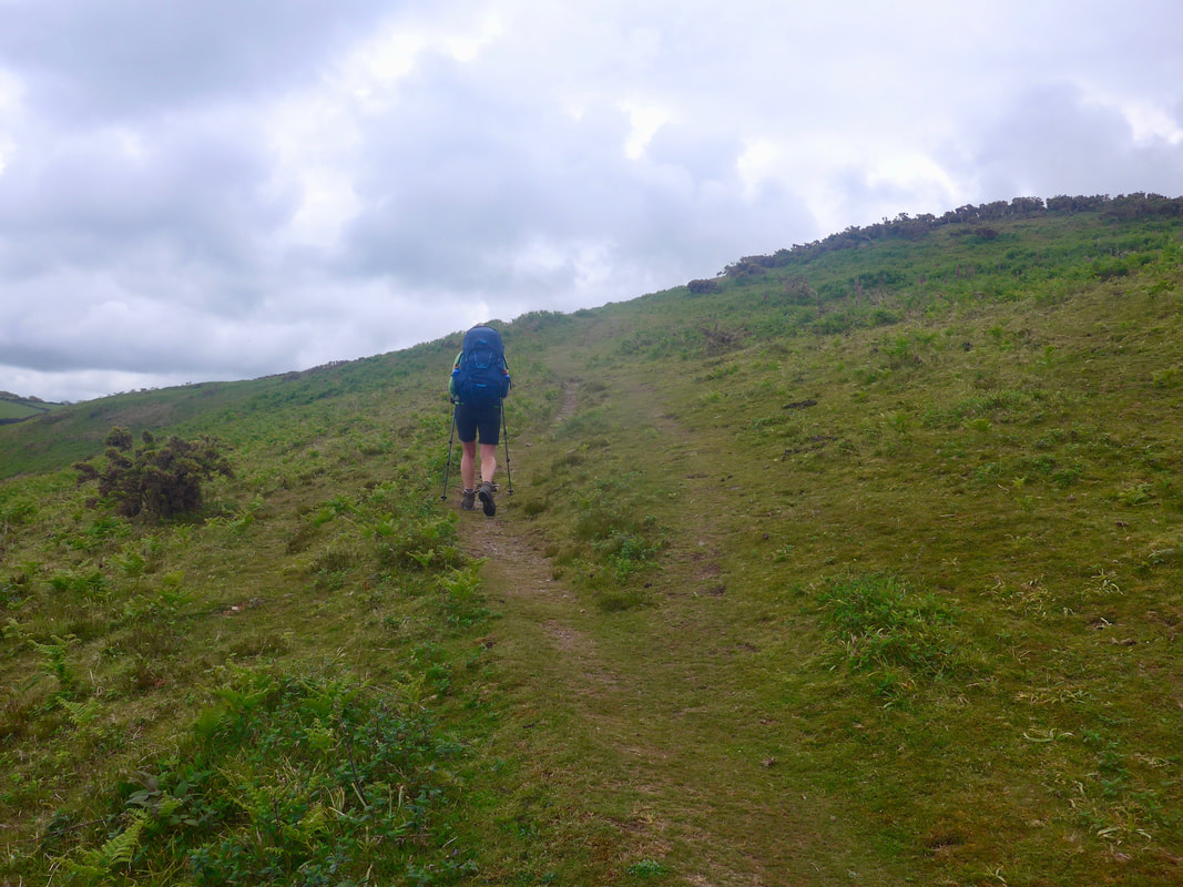
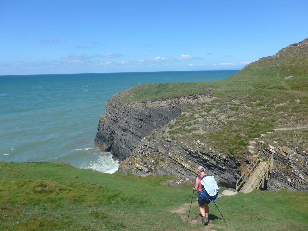
On the beach there is the Caerllan and other caves that can be visited at low tide. The geology here is a mixture of hard and soft rock such that natural forces have worn and shaped the rocks with caves, arches and sea stacks to be seen at various location along the coast. On the beach itself there are wonderful examples of rock folds, going in every direction imaginable. From the seawall on the beach the route rises up steeply on a zig-zag path to the top of Craig Caerllan headland. Despite a slight mist and heavy cloud cover there were reasonable views out from Cwmtydu beach and to the east from the headland. That was the good news. The bad news was that it was very cold and damp with a lot of moisture in the wind without it actually raining.
On the beach there is the Caerllan and other caves that can be visited at low tide. The geology here is a mixture of hard and soft rock such that natural forces have worn and shaped the rocks with caves, arches and sea stacks to be seen at various location along the coast. On the beach itself there are wonderful examples of rock folds, going in every direction imaginable. From the seawall on the beach the route rises up steeply on a zig-zag path to the top of Craig Caerllan headland. Despite a slight mist and heavy cloud cover there were reasonable views out from Cwmtydu beach and to the east from the headland. That was the good news. The bad news was that it was very cold and damp with a lot of moisture in the wind without it actually raining.
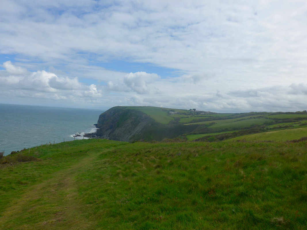
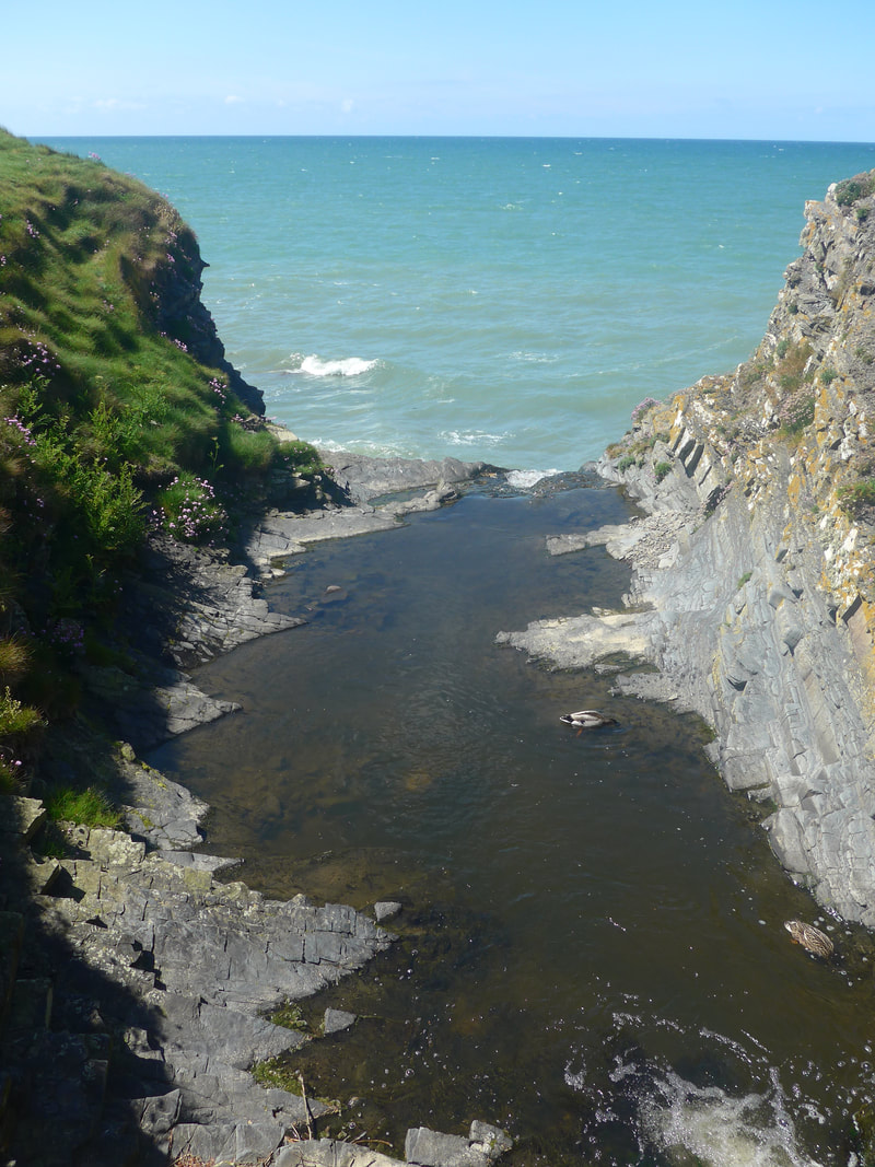
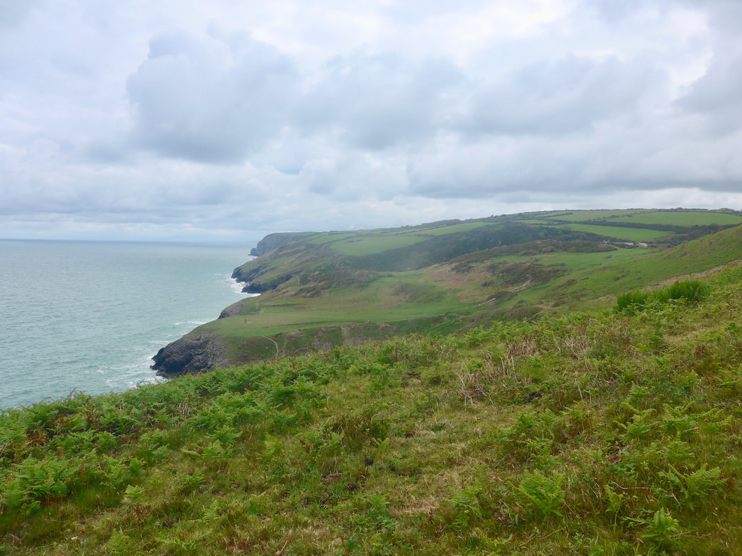 Looking across Castell Bach
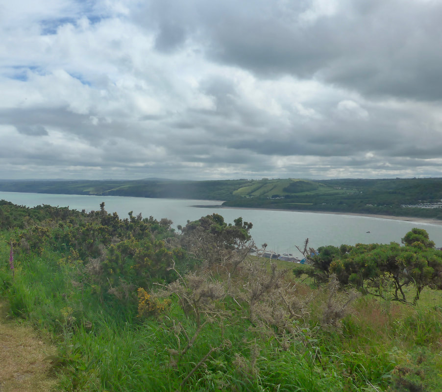
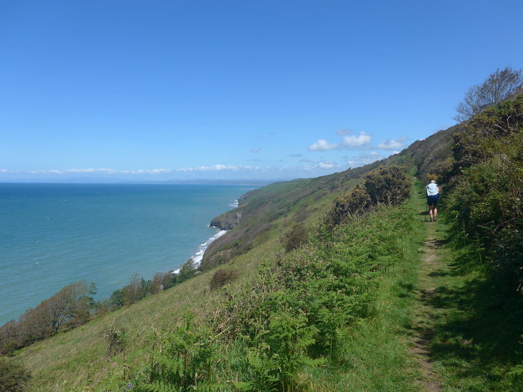
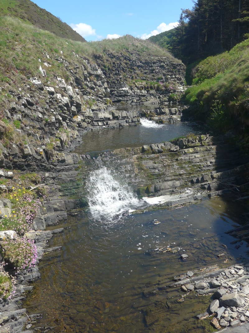
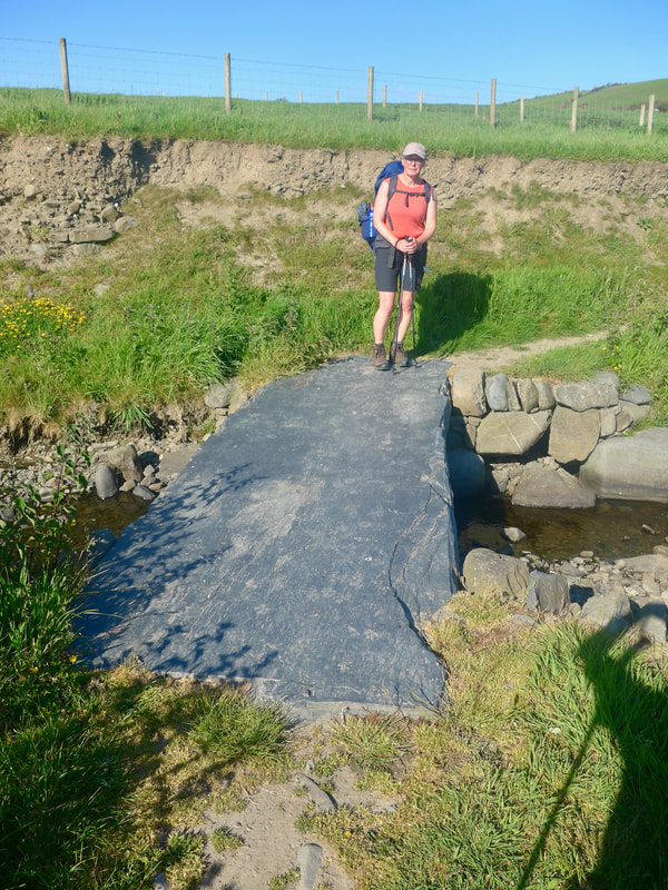
 There was a nice view from the headland forward and over the plateau where the Castell Bach Celtic Iron Age Fort was situated. There is a natural rock fault at this location, leading to the lovely little l-shaped Castell Bach beach below. It is a very tranquil location and one can imagine a nice summer's day spent in here in splendid isolation. From the headland the route drops down on to and beyond the plateau, down in to the Bach gully where there is a small footbridge across the burn, with a rise back up to begin a long, slow, undulating climb to the headland above New Quay. The hinterland on this section is arable farmland, a mosaic of numerous boundaried fields. Overall, the section to Newquay was rough from the start with a number of ascents and descents, the path sometimes very narrow and difficult to walk on. As we climbed out of Castell Bach gully there was a very heavy downpour and the waterproofs came out and stayed on until New Quay. We were both struggling in the cold, the breakfast porridge fast becoming a faint memory.
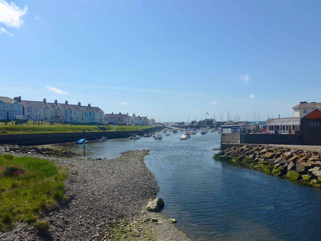
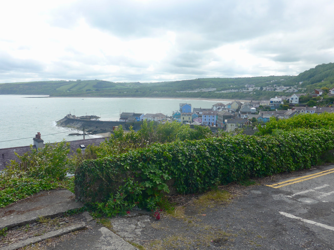 New Quay Harbour & Bay
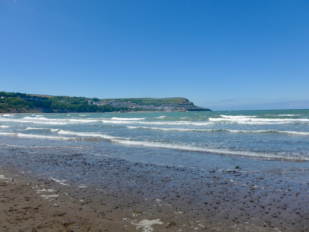
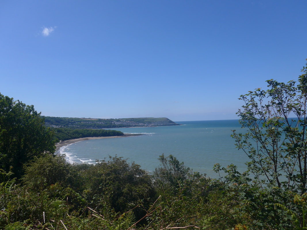
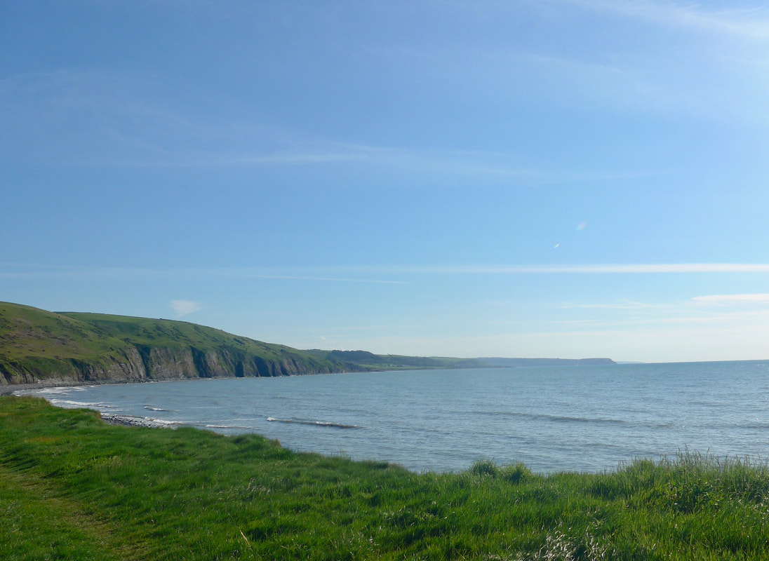
 When it came we were both relieved to see the town of New Quay, despite our antipathy to the crowds we knew would be there. Our misery lifted a bit as we were passed by a group of joggers on the steep incline, thinking to ourselve 'things could be worse'. One final descent and we came in to the town where we took up residence in the Pepper Pot cafe for the best second breakfast of the journey so far. It was a feast to relish with one full English near breaking the plate and the other a delicious presentation of Eggs Benedict with avocado pear. Add toast, orange juice and coffee and all for under twenty quid! I do so like a bargain.
 Across the bay to Cei Bach
 Breakfast over, we visited the Post Office to replenish cash. It had warmed up and the streets were thronged with Bank Holidaymakers, visiting all the gift shops, cafes, and restaurants. By the harbour there were literally hundreds of visitors looking for dolphins off the pier. Frightened the socks off us and we could not get away quick enough. When you see such crowds taking over relatively small settlements, it is hard not to feel for the locals who have to put up with it. The town is built on a history of fishing, smuggling and shipbuilding but as these have diminished tourism has taken over. For all the financial benefits it brings, it must be hard to lose your town for the whole summer. To be honest, we were glad to leave it all behind. All that noise, pushing and shoving, can do without it, thank you. There is a lot to be said for the solitude of the long distance walker!
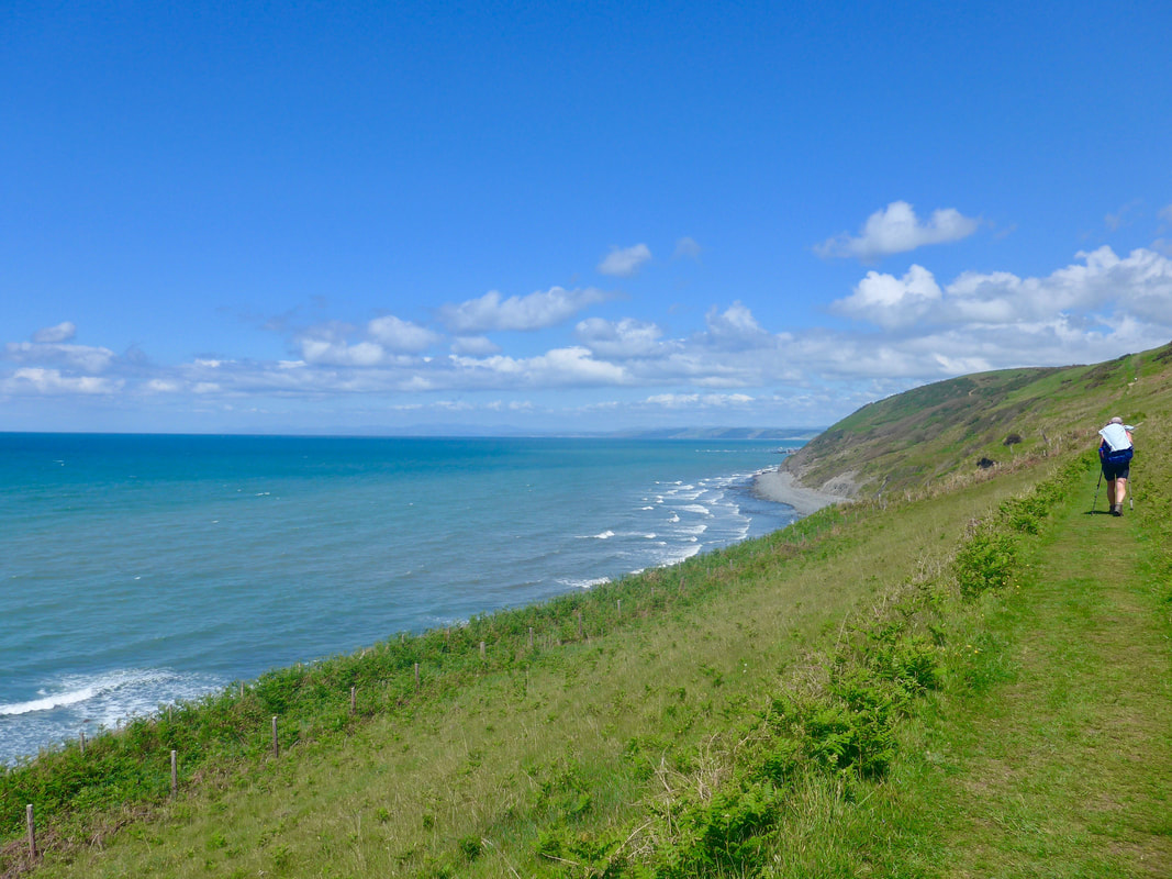
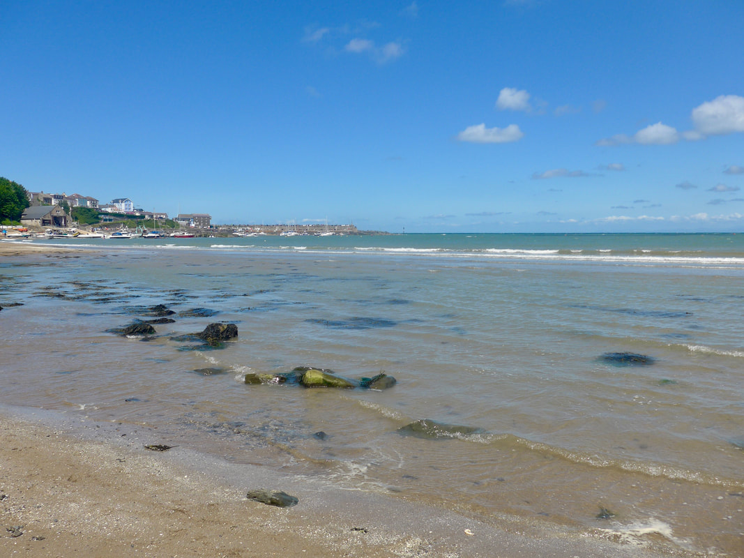 New Quay Beach
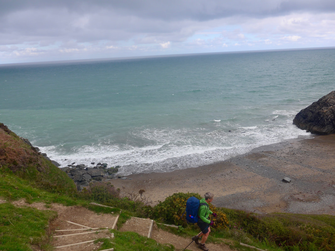
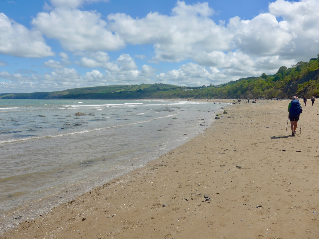
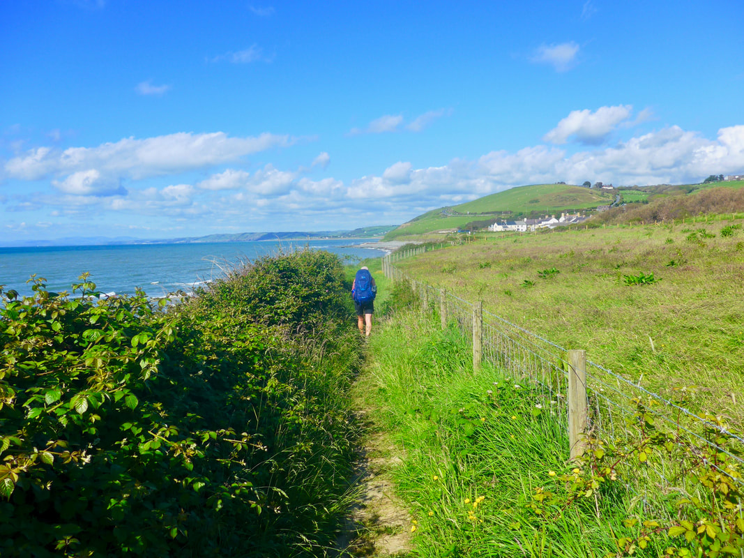
 By the time we were leaving town the sun had come out and it had turned in to a very bright afternoon. We were able to walk the beach for about a mile before the incoming tide turned us inland. On top of the cliff there was a holiday camp that we needed to walk round so a short section of road and track and then we were back in our natural habitat of clifftop. On the rise up the hill there were nice sections of hedgerow, like small woods at times and lovely views back along the coast. As if to mock our earlier summations of the day, the air was crystal clear, sea and sky Grecian blue. It was a nice walk along this section, with some variation in land and seascape. We passed by a really nice, small holiday camp set up at Gilfach yr Halen with tennis courts and riding stables (trekking) that made us think we would like to return to the area for a longer stay at some point.
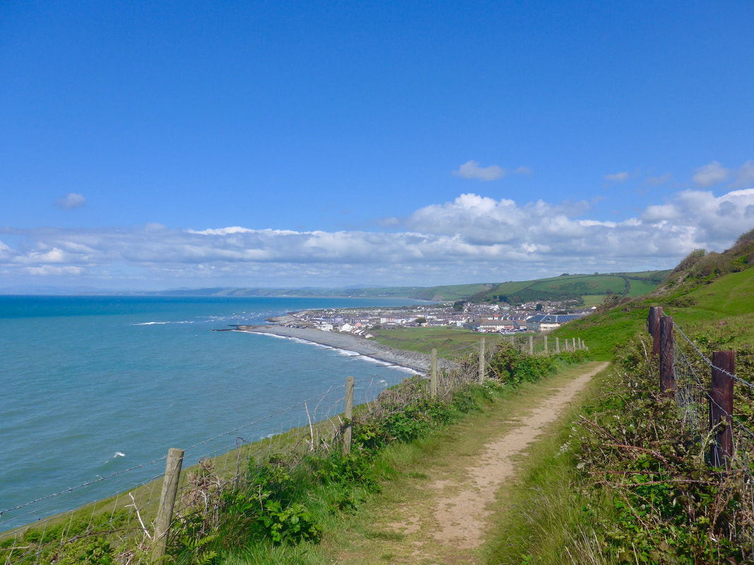
 Mouth of the River Drywi
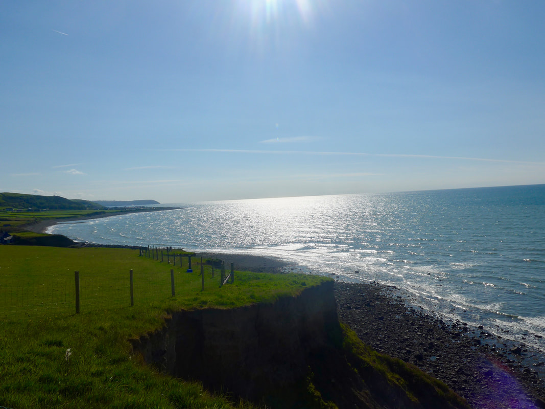
 The route moves ever so slightly inland at Gilfach yr Halen for a short road section before returning to the cliff just before Cum Clifforch after which the route starts dropping down to Aberaeron. It is a nice little harbour town with lots of charm but, as at New Quay, there were also hordes of people, enough for us not to want to linger too long. Passing a nice little traditional bakery shop we could not but stop for afternoon tea which we enjoyed with lovely, fresh almond tarts just out of the over. We ate them sitting on a table out on the pavement where we enjoyed the late afternoon sun, protected from the wind by the building.
New Quay had been so busy we did not want to take the time to shop for provisions but our food level was so low we could not move on without replenishing. As well as some nice pastries bought from the bakers, we visited the local grocery store to top up on other essential items.
New Quay had been so busy we did not want to take the time to shop for provisions but our food level was so low we could not move on without replenishing. As well as some nice pastries bought from the bakers, we visited the local grocery store to top up on other essential items.
 Aberaeron Shingle Beach
 We left the village on a kind of promenade and along a shingle beach to and through the village of Aberarth. There is a wee bridge over the River Arth before you start out on the last ascent of the day back up on to the cliffs and round Morfa Mawr farm. After the farm the route dropped back down to sea level and we walked along behind the beach to the turnoff to our destination campsite in Llannon. The campsite office was closed when we arrived but there was a note in the window telling us where to camp and kids on bikes led us to our pitch, T39.
Later on, another gentleman pitched beside us. He was eighty years of age and was on a circumnavigation of the Welsh border. He expected to be walking and camping for three months. He explained that he walked without plans, just doing what he could on any particular day. He had managed to reduce his pack size ten kilos by carrying only essentials. No cooking equipment and he used trains to limit the number of times he had to break camp. So on a section he would walk forward and return by train to his campsite. He could sometimes do this for four or five days at a time. He shared some of his adventures with us, having walked and camped in, among other countries, New Zealand, Australia, Greenland and the USA. Absolutely a remarkable man and one who made us ponder on what it is we do and how we hold ageing.
It had been a long, hard day with a real mixture of weather and walking. But despite the early cold, it had been a good day's walking and tired as we were, it had been envigorating at times. If you have never walked the Ceredigion Coast Path, we would recommend it. After our long conversation with our camping buddy, we showered, summoned the energy to eat and then turned in for the night.
 RSS Feed
