Route Map
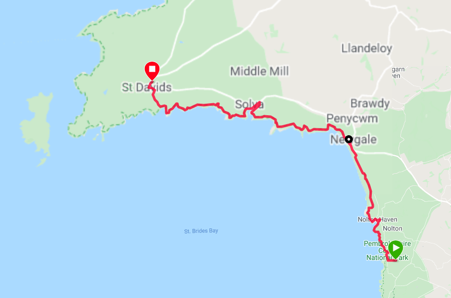
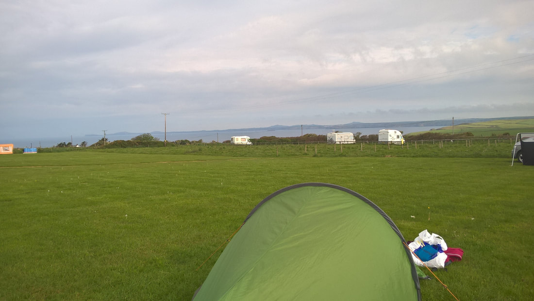
We camped at Shortlands Farm last night in a huge field in which there were only three units set up, us and two campervans; one on the opposite side of the field and one beside us with a mother and a daughter enjoying some time together. We had a quiet night and took our time in the morning getting packed up and ready to leave. My walking partner had been unwell yesterday and again today, so we decided to change our plans from camping tonight at Caerfai, to having a night in a B&B in St Davids. You can make all the plans in the world and still have no guarantee things will work out as you expect them to.
 Walk Profile
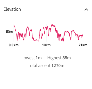
 Our route today is longer than the last few days and will certainly be slightly more arduous. The route sticks rigidly to the coast and the profile of the walk demonstrates the rolling nature of the clifftop. While we expect long stretches of pleasant, rolling grassland, there are a number of gullies to be tackled, with a resultant elevation gain of over four thousand feet in the course of the day. The route passes through the settlements of Nolton Haven and Solva, passing over the expansive beach at Newgale Sands, all of two miles long. The weather forecast is good and we expect to be walking in sunshine for most of the day.
 Shortlands Farm along St David's Peninsula
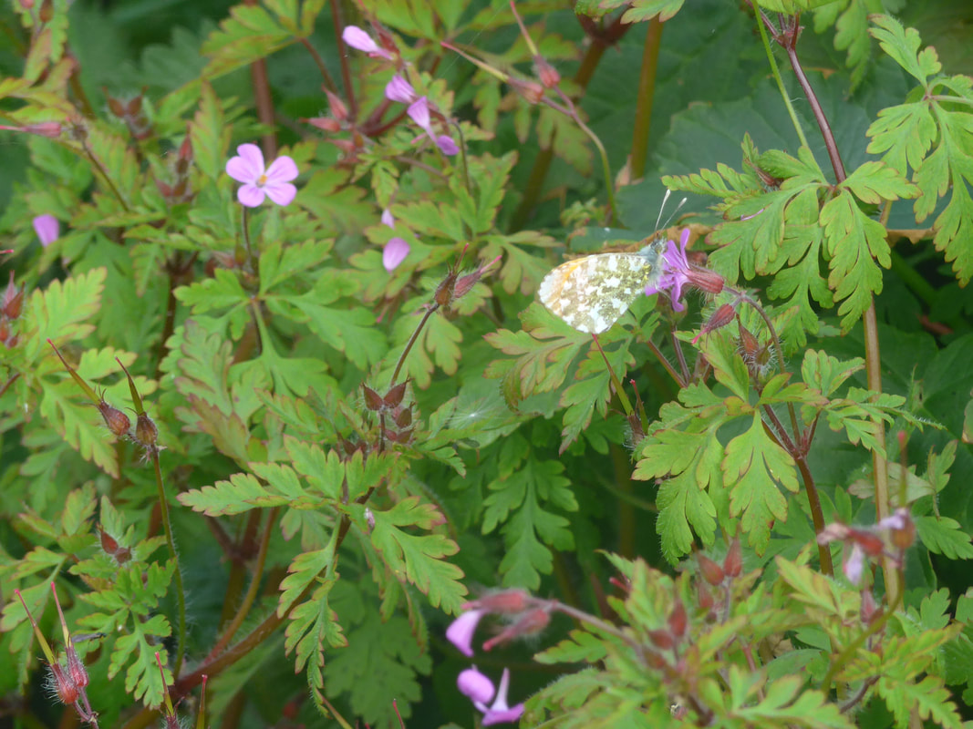
 Leaving Shortlands Farm there was a very quick walk back down the lane and on to the coastal path again. Walking on a narrow packed-earth footpath crowded in by the hedgerow on the right and, a bank of wildflowers on the left. the route moves along behind the Druidston Hotel and local houses. If you have the time to go down and investigate the beach, there are a number of natural arches and caves there that are not easily seen from the coastal path. The views out over St Bride's Bay were bright and clear and look along the length of the St David's peninsula, the day's walking clearly laid out in front of us and we marvelled again at the notion that we intended to walk on this one day almost to the headland. There were a number of sprightly male and female orange-tipped butterflies on the wing in the hedgerow and grasses.
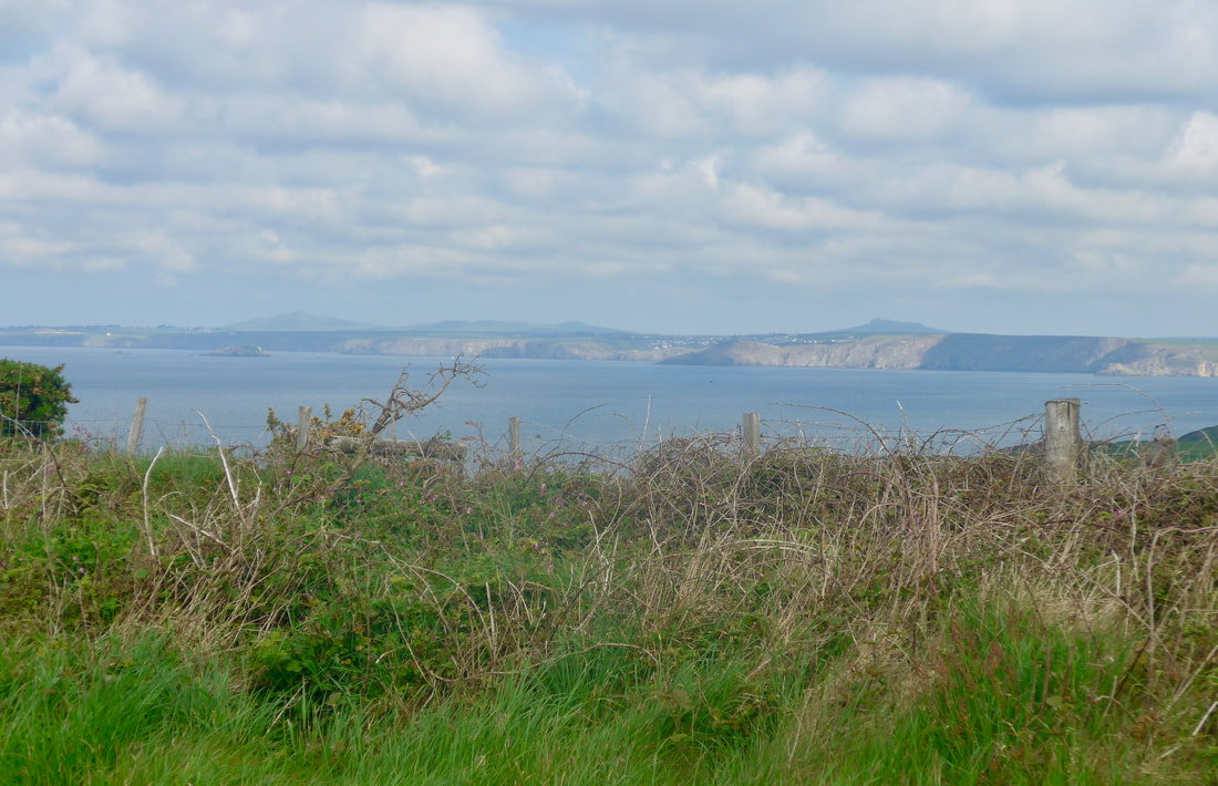
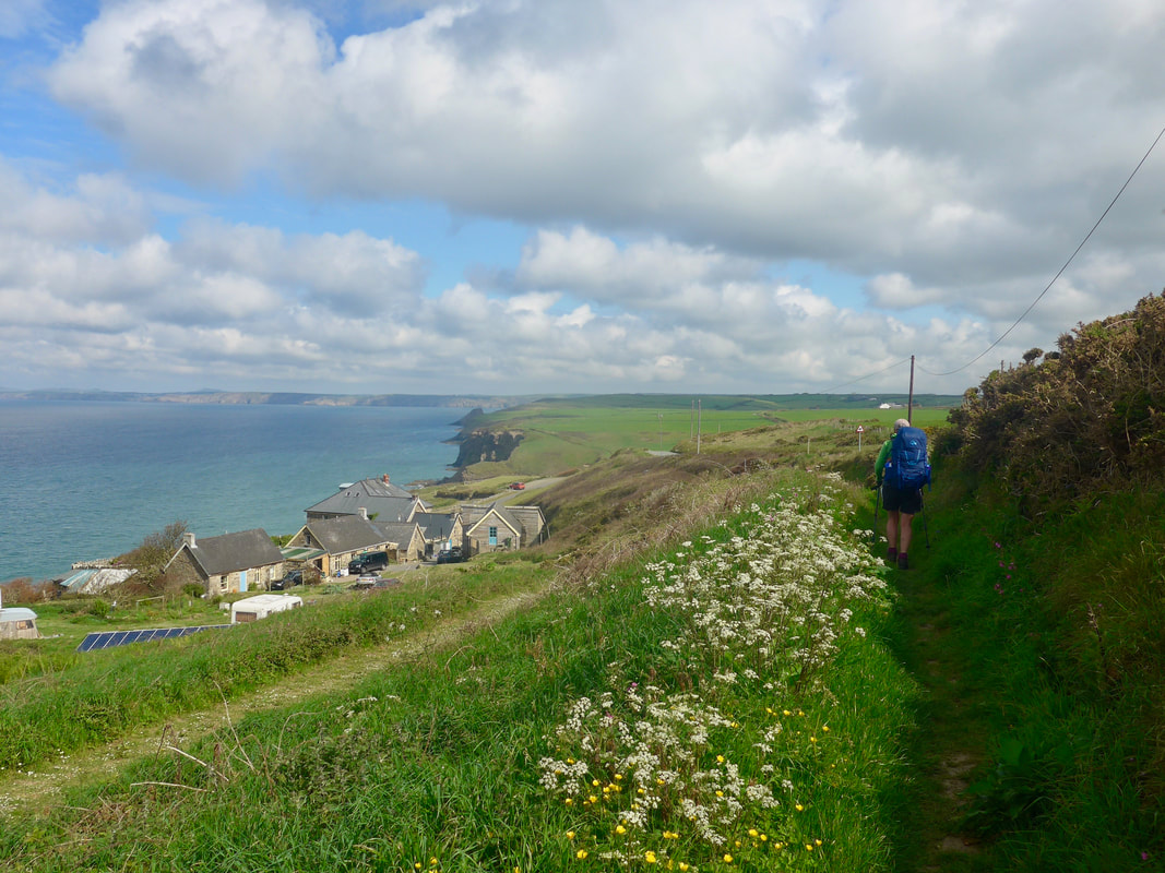
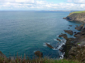
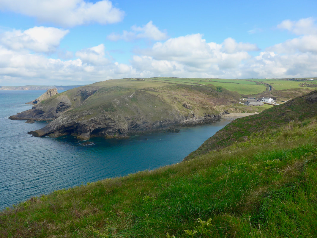
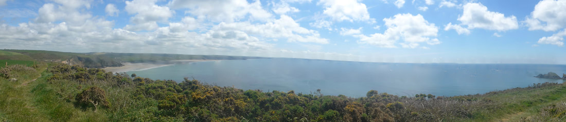
The quality of the early morning light was excellent, despite one or two heavier clouds hanging around in the skies above. Over the water the views were lovely, the colour of the water a nice aquamarine green. The colour aquamarine is mostly thought of in shades of blue, but it does have presence on the green spectrum and, sure enough, the waters changed tone from green to blue depending on a number of factors such as your perspective, height, cloud cover and, the angle of the light hitting the water. It was a beautiful changing feast for the eyes. Approaching the corner just before Nolton Haven, behind us we could see clear across the bay back to Wooltack Point and Skomer Island, lying on the horizon off the Dale Peninsula.
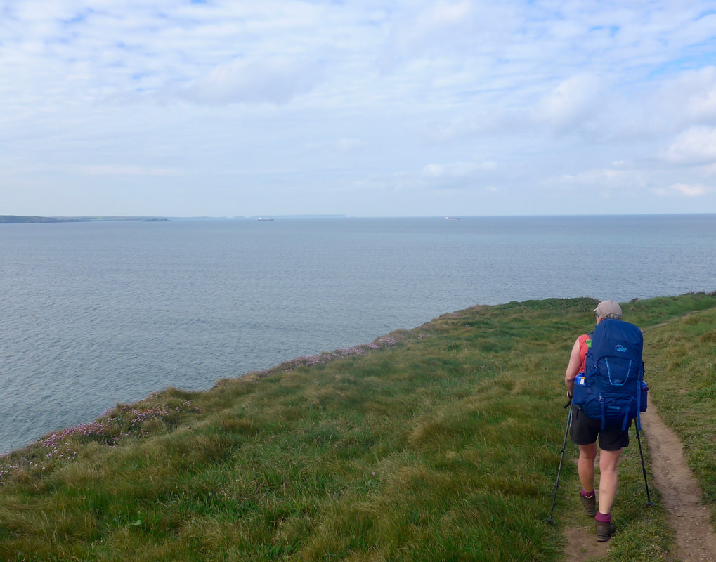
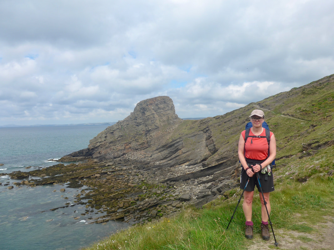 Jo by Ricket's Head
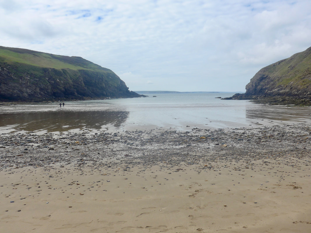
 The first gully of the day was at Nolton Haven where we dropped down off the clifftop on to the sands. It is another of the havens here popular with divers and we could see some of them leaving the water and others preparing to go in. It is a nice looking little bay, with sand, particularly at low tide. There are public toilets here which are useful before you start the long haul round the coast to Solva.
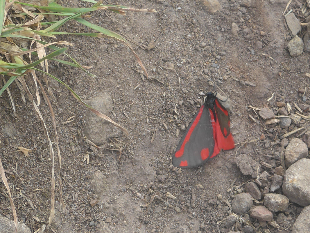
Leaving Nolton Haven there is a gradual climb up to the Black Cliff to at a height of almost eighty metres (two hundred and fifty feet). On the way you pass the impressive rock feature, 'Ricket's Head'. The path weaves in and out on this stretch, little headlands obstructing the view so that as you walk over the rises unexpected feasts for the eyes are unveiled. Yellow broom showed bright against emerald green grasses and wild flowers lined the verges, Blue Bells scattered across the hillside. Lying injured on the footpath, we came across a beautifully coloured Cinnabar moth (Tyria jacobaeae), that had sadly been injured and was missing half of its right upper wing.
Leaving Nolton Haven there is a gradual climb up to the Black Cliff to at a height of almost eighty metres (two hundred and fifty feet). On the way you pass the impressive rock feature, 'Ricket's Head'. The path weaves in and out on this stretch, little headlands obstructing the view so that as you walk over the rises unexpected feasts for the eyes are unveiled. Yellow broom showed bright against emerald green grasses and wild flowers lined the verges, Blue Bells scattered across the hillside. Lying injured on the footpath, we came across a beautifully coloured Cinnabar moth (Tyria jacobaeae), that had sadly been injured and was missing half of its right upper wing.
 Black Cliff Colliery Chimney
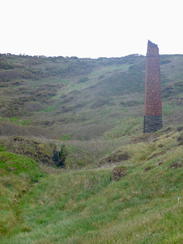
 Coming along the Black Cliff you pass the Black Cliff Colliery chimney, a reminder that the cove was once a busy little port from where coal and culm (coal dust or anthracite) were exported. Many of the mines in the area reached out underneath the sea with the commensurate risk of flooding from above at any moment. The local mines were active up until the time of WW1, following which they were abandoned due to the risk of collapse and flooding. It is known that there are huge reserves of coal still underneath St Brides Bay but the risks of mining it are too great.
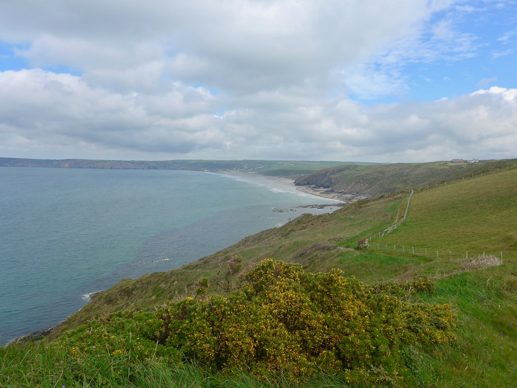
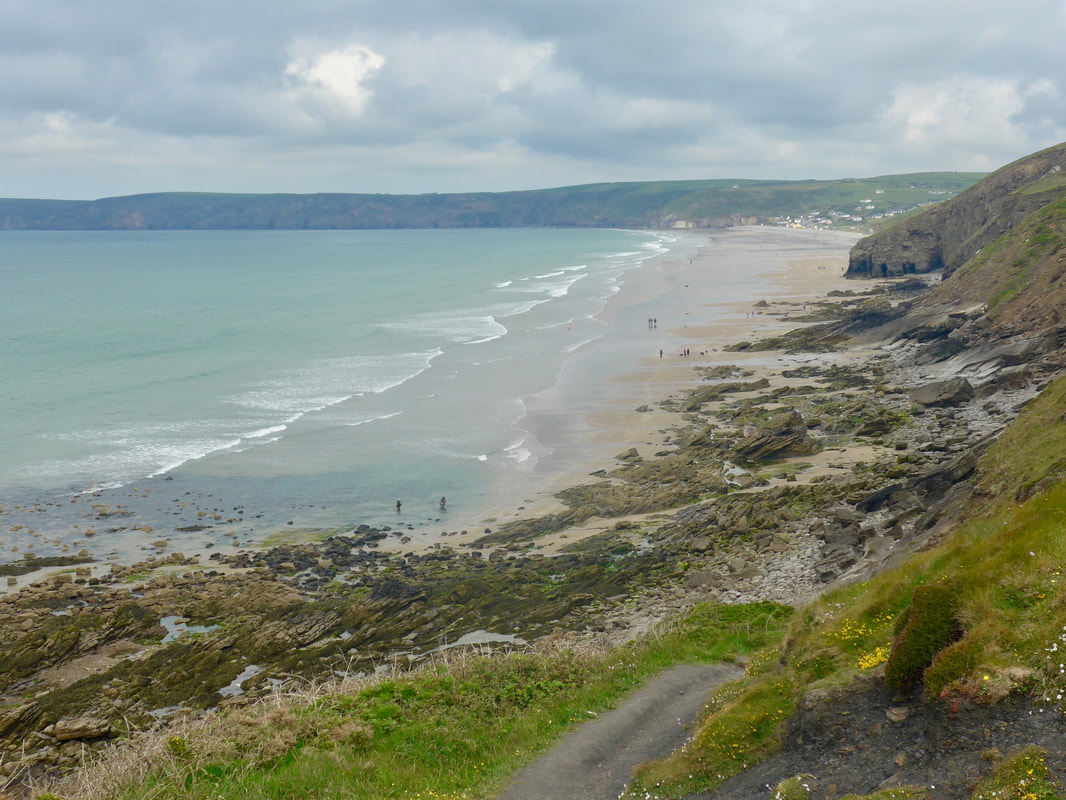
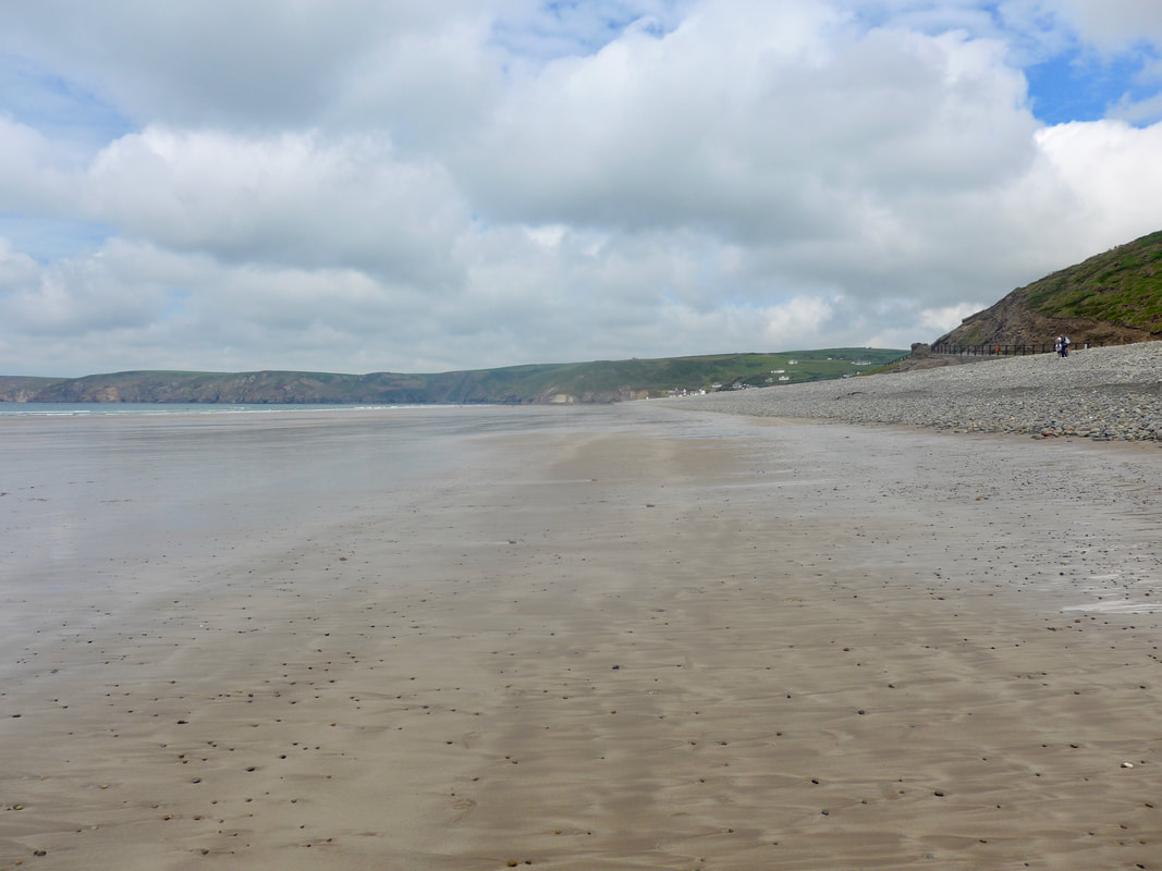
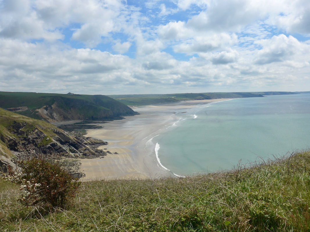
At the end of the Black Cliff there is a nice view along the length of Newgale Sands and we took the first opportunity to clamber down the rocks and on to the beach to walk along the water's edge. This is a sandy beach at low tide, with shingle when the tide is in. There is a huge, naturally-formed, shingle bank at the back of the beach, the result of a major storm in 1859. The beach stretches from one side to the other for a distance of two miles and, with clear skies and good light there is an immense feeling and perception of space. It was a long walk over the sands and by the end, with aching calve muscles, we were ready for a break. There is a nice little cafe (Sands Cafe) just off the route of the path and we stopped here for a second breakfast and a welcome cup of coffee.
At the end of the Black Cliff there is a nice view along the length of Newgale Sands and we took the first opportunity to clamber down the rocks and on to the beach to walk along the water's edge. This is a sandy beach at low tide, with shingle when the tide is in. There is a huge, naturally-formed, shingle bank at the back of the beach, the result of a major storm in 1859. The beach stretches from one side to the other for a distance of two miles and, with clear skies and good light there is an immense feeling and perception of space. It was a long walk over the sands and by the end, with aching calve muscles, we were ready for a break. There is a nice little cafe (Sands Cafe) just off the route of the path and we stopped here for a second breakfast and a welcome cup of coffee.
 St Bride's Bay
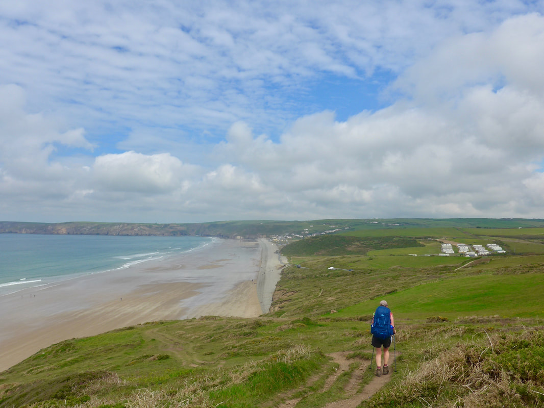
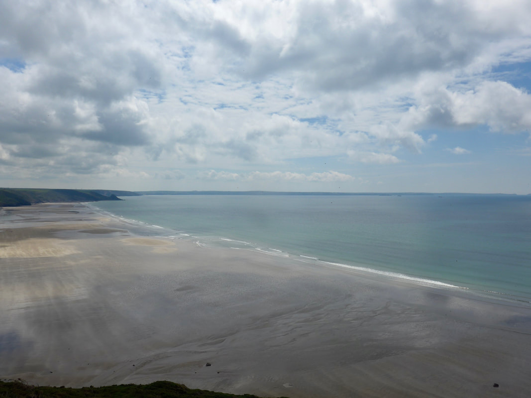
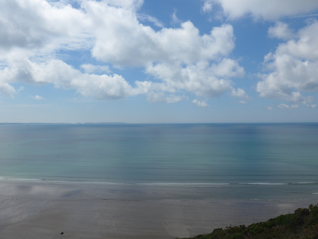
 There is a steep climb coming out of Newgale and the section which follows has a number of ups and downs as you go in and out of the gullies. The views moving up the hill, in particular the colour palette that was on show were, quite simply, spectacular. Overhead cloud formations created dark blue stripes across the green aquamarine sea. Looking back over Newgale Sands and St Bride's Bay there was a slightly surreal edge to the view, a kind of fairy tale aspect. The colours of sea and sky were a glory to behold. As far as the eye could see the beautiful blue-green of the bay dominated, no, caressed the senses, creating an embracing sense of contentment. How wonderful it felt to be outside walking in such splendour. In such circumstances it is easy to stand back from such splendour and be an observer. But with a little movement of the mind and an appreciation of our position as just another part of nature we are at one with the splendour, standing at the heart of it; not watching, but participating and playing our part. Then the heart opens and the experience is one of boundless wonder.
As we moved along the cliff we could see areas where there had been substantial landslip, areas of cliff where we could see through to clean sand with no evidence of the vegetation that usually clings to the face of the cliff. Somewhat surprisingly, there was considerable building activity going on just above it.
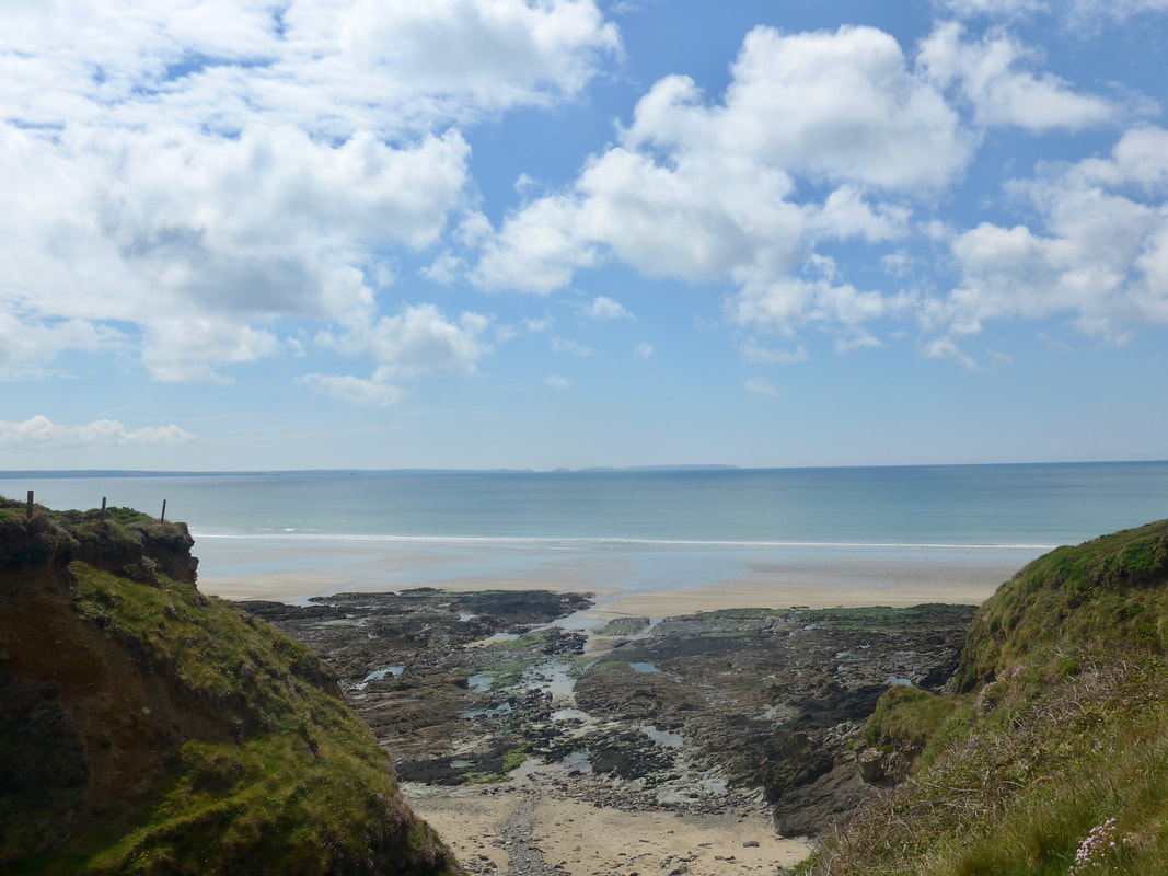
The route drops down a little as you approach the small cove and beach of Cwm-bach, before rising again for a rollercoaster walk as you head out towards the headlands of Dinas Fach and Dinas Fawr. With elevation, the views back along Newgale Sands and out on to St Bride's Bay through the little cove, were lovely. This is absolutely sublime walking; the views outstanding and the walking, on a reasonably good path, just enough to make you feel you are doing a day's work. Sadly, the quickly taken photograph of Dinas Fach just misses out on a nice little archway just a few yards before it.
The route drops down a little as you approach the small cove and beach of Cwm-bach, before rising again for a rollercoaster walk as you head out towards the headlands of Dinas Fach and Dinas Fawr. With elevation, the views back along Newgale Sands and out on to St Bride's Bay through the little cove, were lovely. This is absolutely sublime walking; the views outstanding and the walking, on a reasonably good path, just enough to make you feel you are doing a day's work. Sadly, the quickly taken photograph of Dinas Fach just misses out on a nice little archway just a few yards before it.
 Cove of Porthmynwy
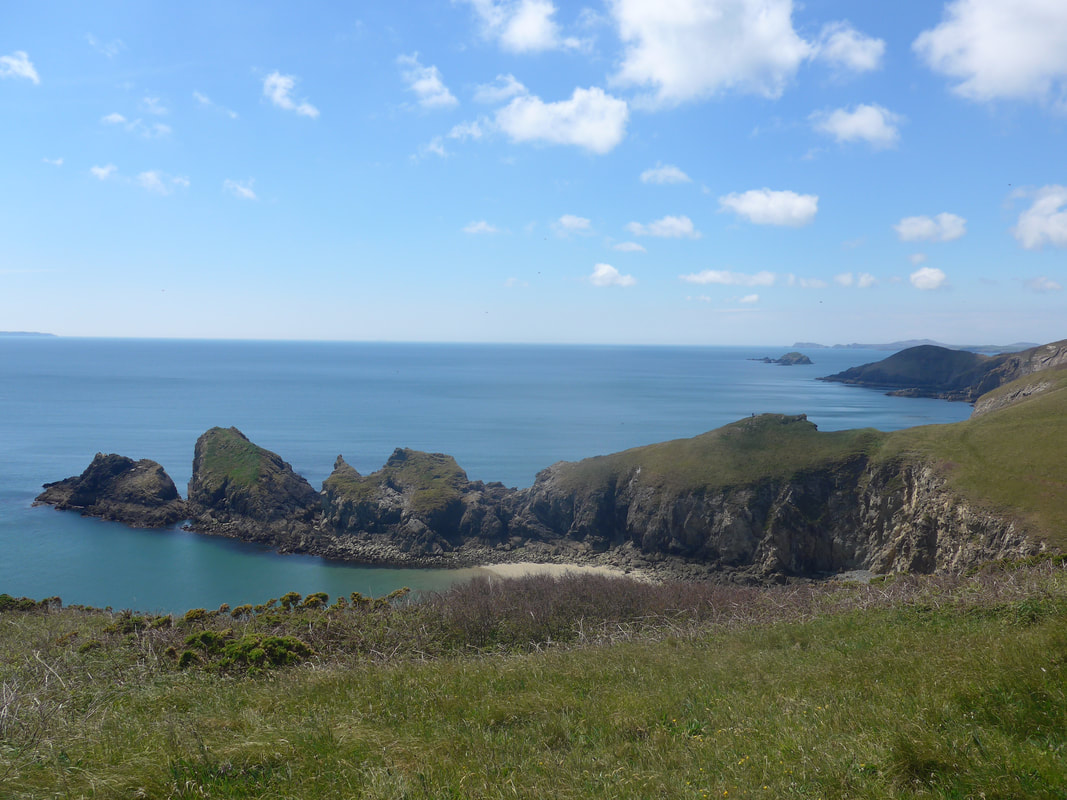
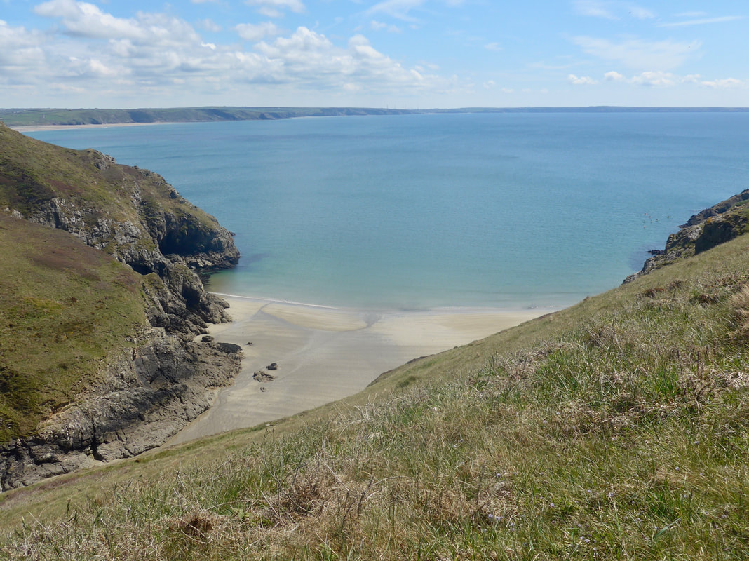
 Approaching the gully at Dinas Fach there is a big descent down the side of the hillside. Looking back it looks pretty impressive. At the landward end of this headland, where it broadens out at the neck, is the location of an Iron Age / Romano period fort. there is evidence of habitation on the promontory, with possibly the outlines of hut circles. At the bottom of the descent there is a faint path running down to the little bay, Porthmynwyd. It is only a short climb back out of the gully where, at the top, you go round the front of the hillside, but to the back of the location of the promontory fort, to start the gradual rise to the highest point of the day (almost ninety metres - just short of three hundred feet), below Lochvane. The rockface below this section is lined with caves and rock features. The highest point of the walk is just before the rock formation Dinas Fawr
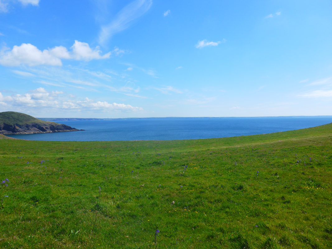 Penrhyn Across St Brides Bay
 On the promontory of Dinas Fawr, there is thought to be possible evidence of a bank and ditch, with hollows on the site possibly evidence of copper mining. Coming off Dinas Fawr, the route takes a north then west 'dog-leg- following the line of the coast round the bay, before turning inland at the inlet that leads to the harbour of Solva.
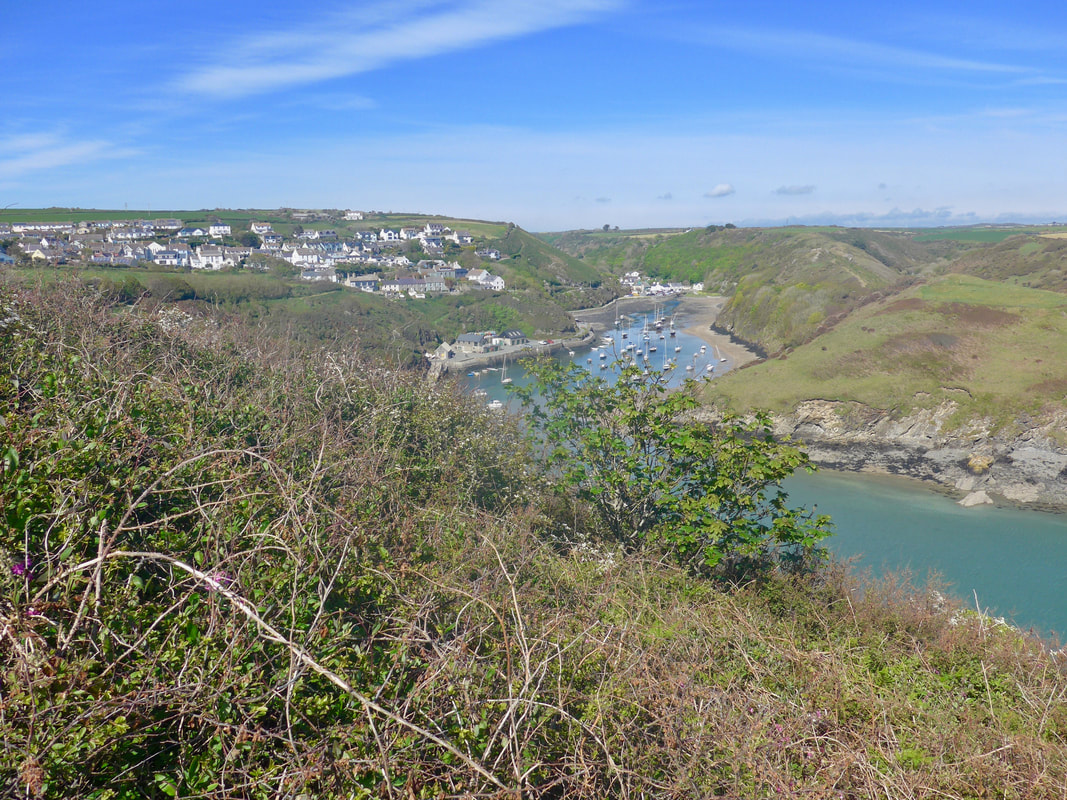
Dinas Fawr is closed in on either side by the beaches of Aber Dwyrain on the east and Aber West to the west, with two further beaches on this stretch, Porth y Bwch and Porth Gwyn. The mouth of the River Solva is a lovely little inlet, with a sandy beach on the east bank of the river, lying below The Gribbin Headland which leads up to the village. The river is only about ten miles long, nonetheless, it does carry a flooding risk in times of heavy rain and exceptional high tides, particularly to Lower Solva village. Solva is essentially two villages with Lower Solva down by the harbour and contained in the valley, and Solva village sittiing atop the hills to the west of the river.
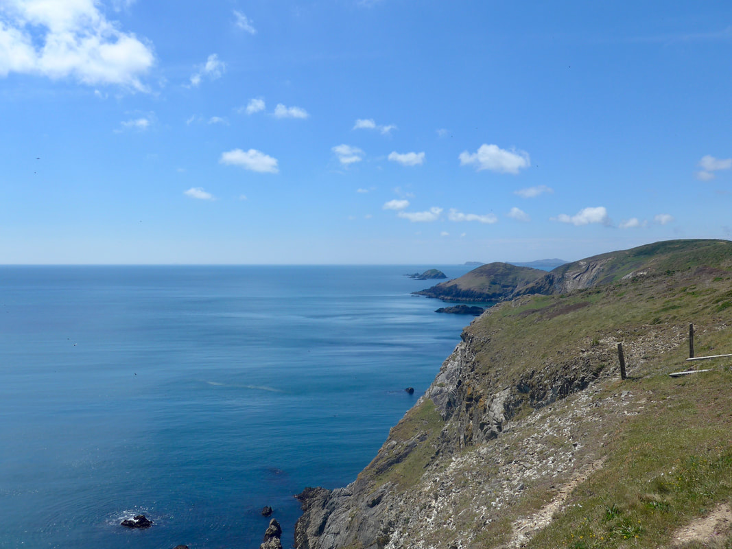
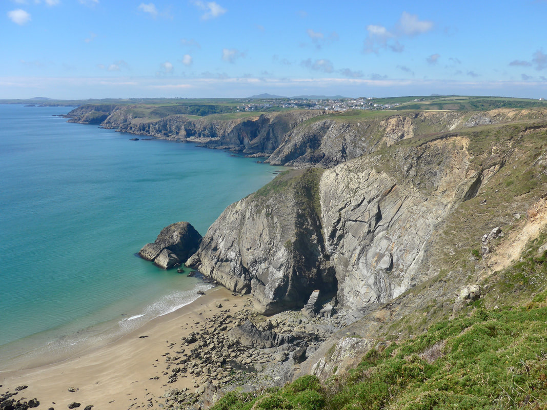
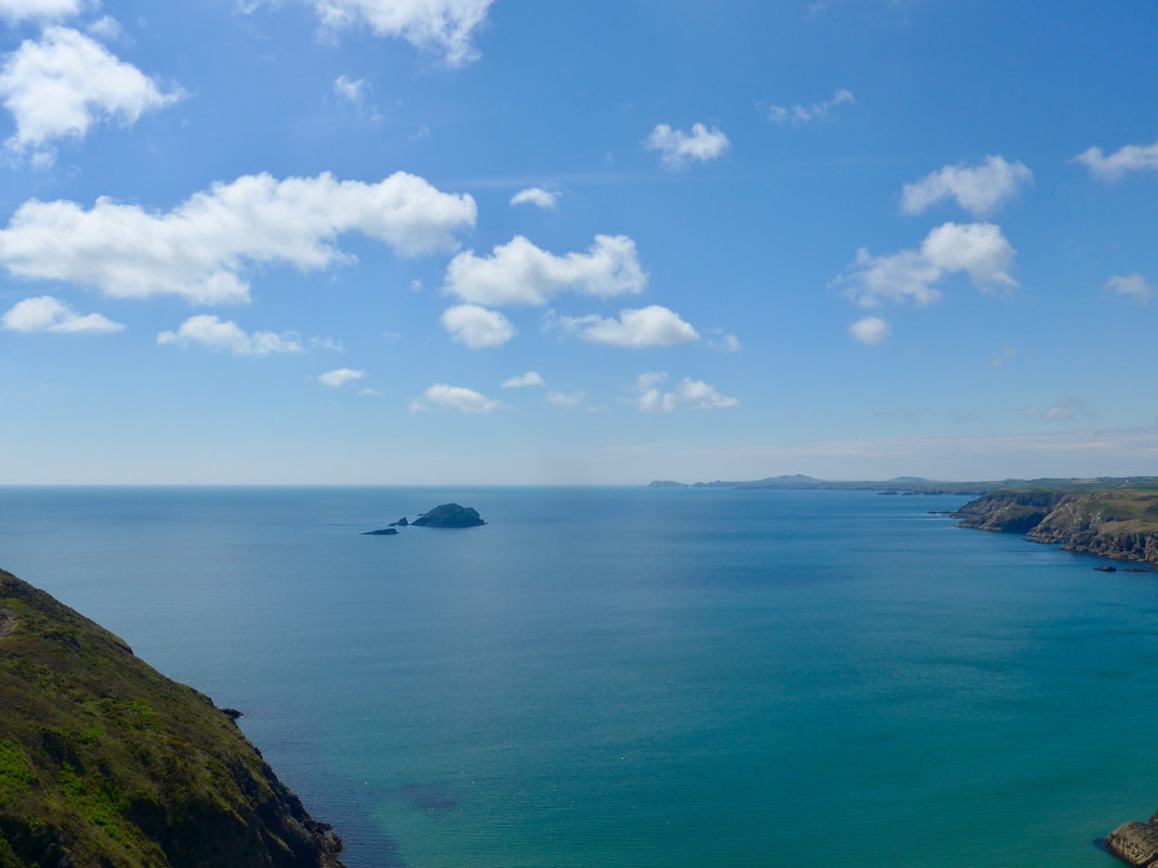
The approaches to the inlet are lovely and there are great views out over the sea. From the high point of the walk to the village there is a gradual decline, with a bump at the little cove of Gwadn, before a climb up on to The Gribbin for the last walk in. Just before you drop down here there is a headland running off to your left, Penrhyn, at the end of which there is a rock just off the mainland called St Elvis Rock. There were some really nice sections on the Gribbin with lovely hedgerow and wild flowers. It was about 3.00pm before we reached the village and we were pretty tired from the walking. The village has a number of amenities, including cafes and restaurants. Making our way up the river, over the bridge and back down the other side of the river, we stopped at 'Cafe on the Quay' for lunch where the staff were very helpful. While I lingered over coffee after lunch, sitting enjoying the view, Jo disappeared to the shops to buy supplies.
Dinas Fawr is closed in on either side by the beaches of Aber Dwyrain on the east and Aber West to the west, with two further beaches on this stretch, Porth y Bwch and Porth Gwyn. The mouth of the River Solva is a lovely little inlet, with a sandy beach on the east bank of the river, lying below The Gribbin Headland which leads up to the village. The river is only about ten miles long, nonetheless, it does carry a flooding risk in times of heavy rain and exceptional high tides, particularly to Lower Solva village. Solva is essentially two villages with Lower Solva down by the harbour and contained in the valley, and Solva village sittiing atop the hills to the west of the river.
The approaches to the inlet are lovely and there are great views out over the sea. From the high point of the walk to the village there is a gradual decline, with a bump at the little cove of Gwadn, before a climb up on to The Gribbin for the last walk in. Just before you drop down here there is a headland running off to your left, Penrhyn, at the end of which there is a rock just off the mainland called St Elvis Rock. There were some really nice sections on the Gribbin with lovely hedgerow and wild flowers. It was about 3.00pm before we reached the village and we were pretty tired from the walking. The village has a number of amenities, including cafes and restaurants. Making our way up the river, over the bridge and back down the other side of the river, we stopped at 'Cafe on the Quay' for lunch where the staff were very helpful. While I lingered over coffee after lunch, sitting enjoying the view, Jo disappeared to the shops to buy supplies.
Approaches to the River Solva
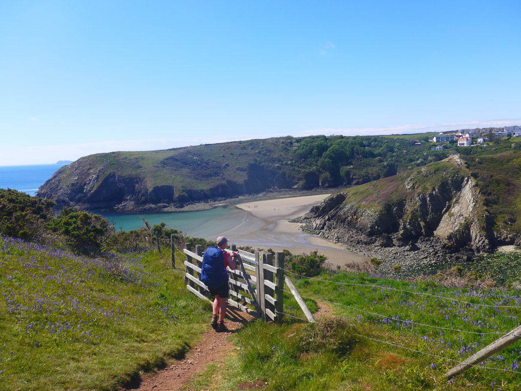
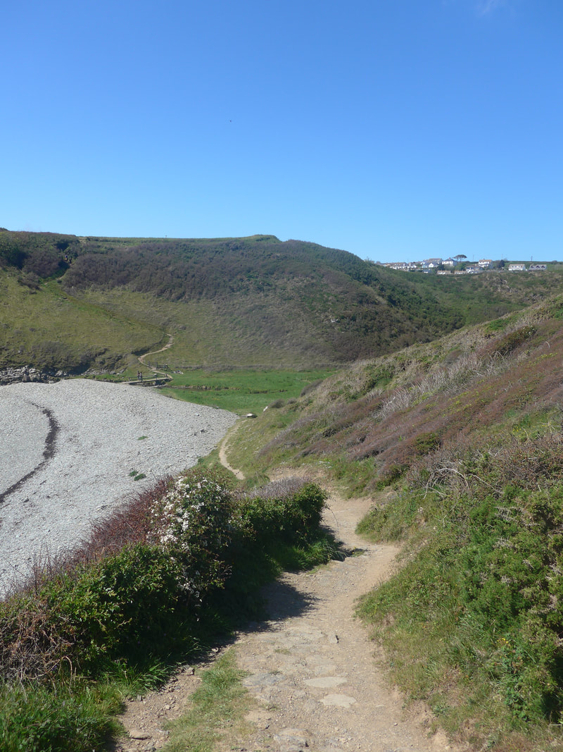
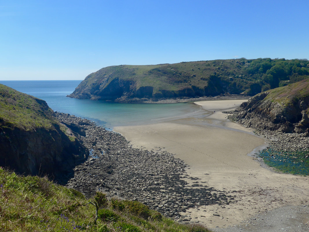
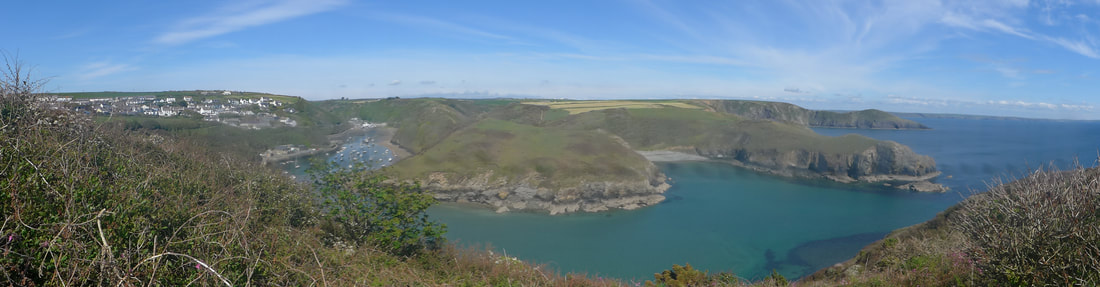
Solva & Environs
Solva is a lovely little village and it is easy to spend time in the idyllic surroundings, well over two hours in our case. From the cafe it was a climb back up to the heights at Sterling Hock from where we had great views back over the route we had walked and also up the little valley that Lower Solva sits in. It was very pretty but it did not take much to imagine the difficulties of living here in winter.
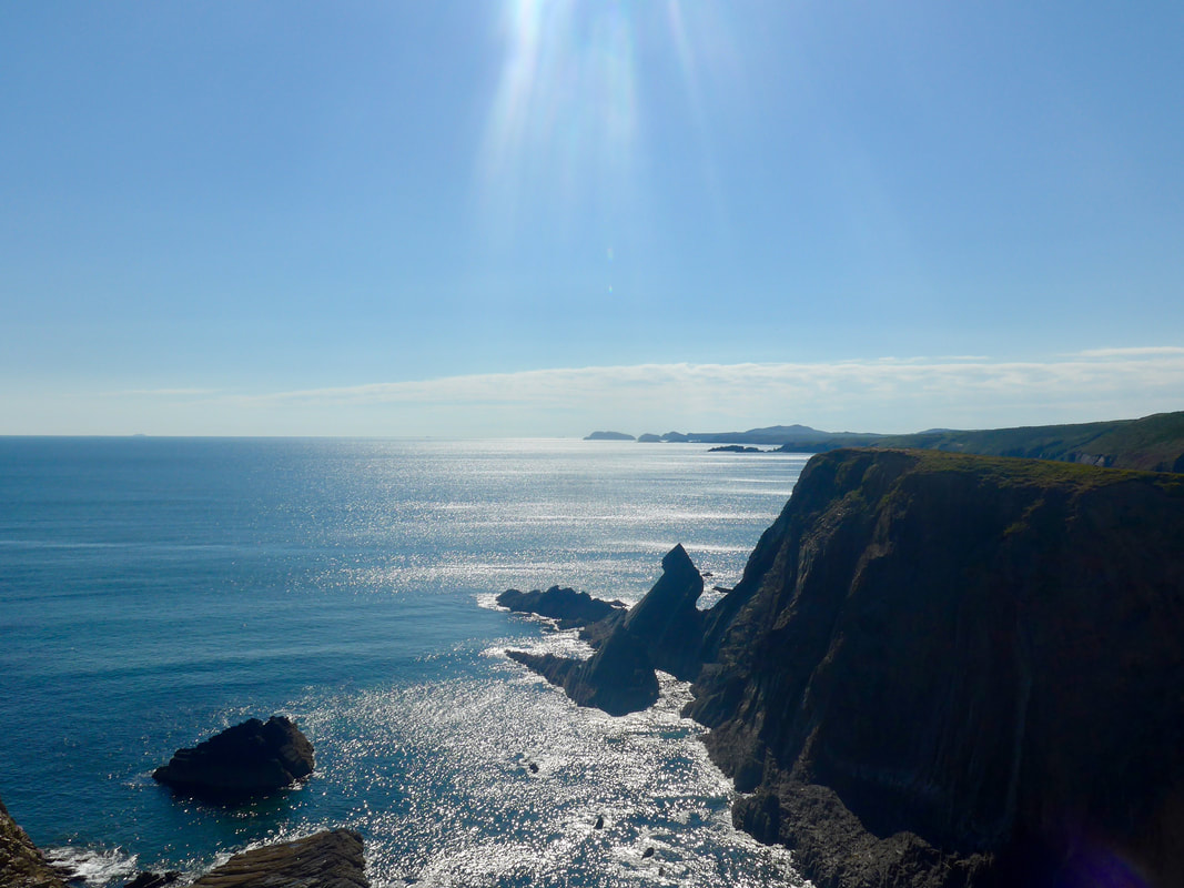
The afternoon route split neatly in to to three, separated by two gullies. The sea to our left shimmered and glittered with diamonds for most of the afternoon. This period of the day had a very spritual component to it, one imagining the beliefs such a site would have raised in the minds of Ancient Peoples who would have imbued nature in all its beauty with an other-worldly significance. Our view of the rock feature, The Cradle, showing almost black against the narrow rays of silver light beaming down from the skies, was stunning.
The afternoon route split neatly in to to three, separated by two gullies. The sea to our left shimmered and glittered with diamonds for most of the afternoon. This period of the day had a very spritual component to it, one imagining the beliefs such a site would have raised in the minds of Ancient Peoples who would have imbued nature in all its beauty with an other-worldly significance. Our view of the rock feature, The Cradle, showing almost black against the narrow rays of silver light beaming down from the skies, was stunning.
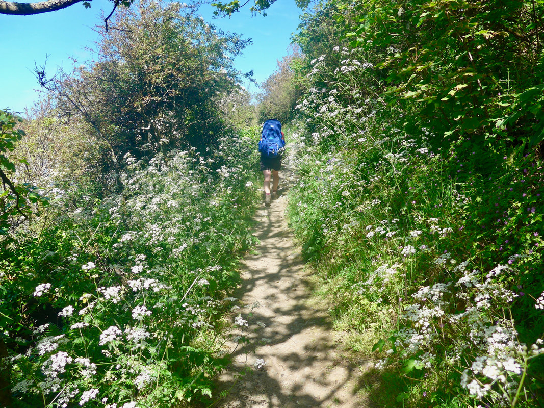
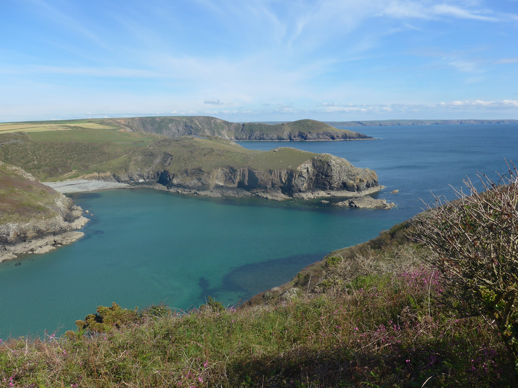
 To Green & Black Scar
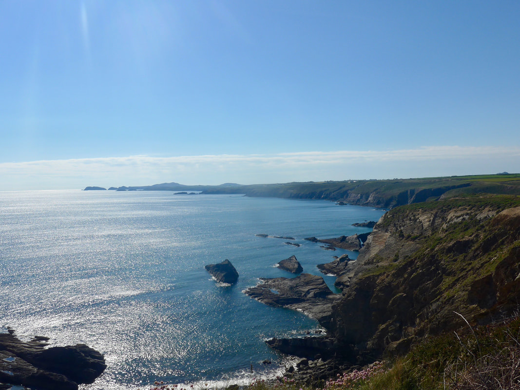
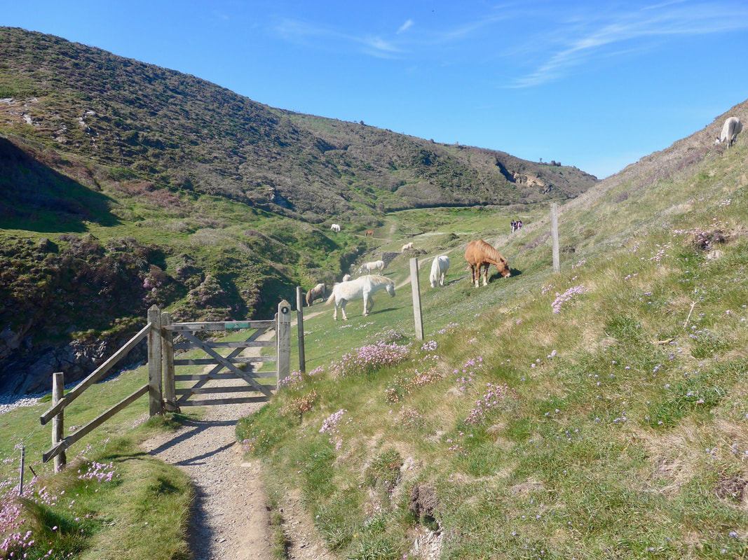
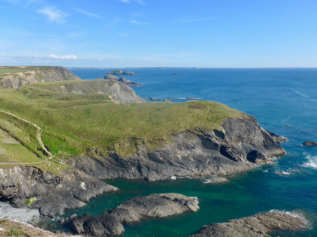
 The wonderful weather continued for the afternoon and the walking conditions were very good on firm paths, albeit there was the odd area where half-submerged stone poked in to the feet. Just after the Cradle, the first sections ends at Porth y Rhaw when the path drops down in to the gully and then climbs back out again on the other side. The hillside was in full colour with large clumps of Sea Pink in full bloom, with the surrounding grasses being grazed by a herd of horses. Once up the other side there was a lovely view out and over the Cradle to the rocky islands of Green & Black Scar.

On the stretch between Porth y Rhaw and Caer Bwdy Bay the majesty of the the day continued with fine view, after fine view. The geology of the area is complex and you can see different elements and effects in the cliffs and rocks of the shoreline. To the north, the islands lying just off Ramsey island glittered on top of the sea, a thin narrow band of bright sunshine bearing down directly on to them. For the last time the route dropped down at Caer Bwdy Bay and coming up the other side we had a wonderful view of a cliff face in which the rock was moving in what appeared to be contrary motions. On one side there was the outline of huge rock waves and, on the other, what appeared to be a circle created by molten rock.
From Caer Bwdy Bay the route moves round the last headland and on to Caerfai Bay where we left the coastal path to head inland to St Davids, known as Wale's smallest city. The lane passed the campsite where we should have been staying but it was not to be on this occasion. The B&B (The City Inn) we were staying in lay to the north of the city centre, but the city is so small we were there in no time at all. Run by a mother and son it had all the amenities we wanted and provided an opportunity for my walking partner to rest and recover. The day had provided food and sustenance for the soul; now we needed food for the body and rest and recuperation.
 RSS Feed
