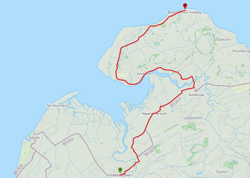
Route Map
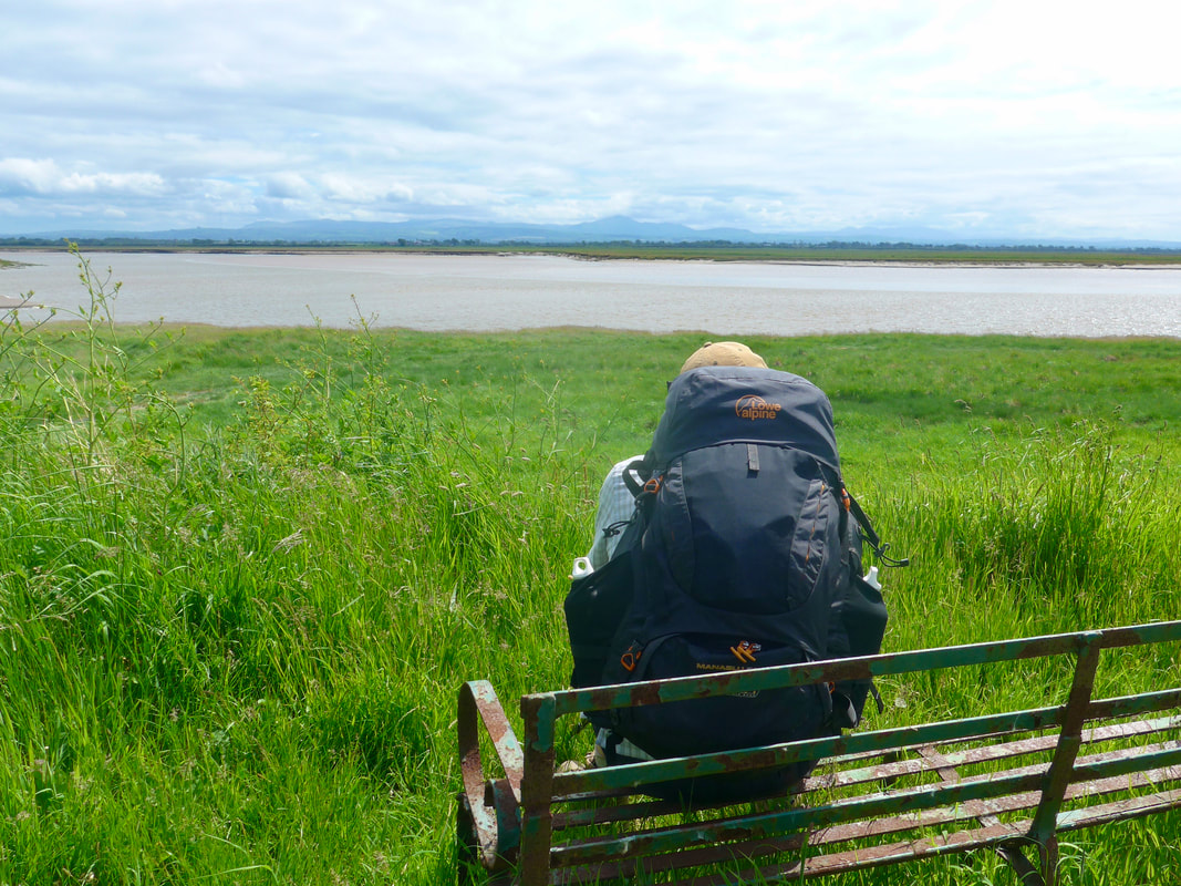
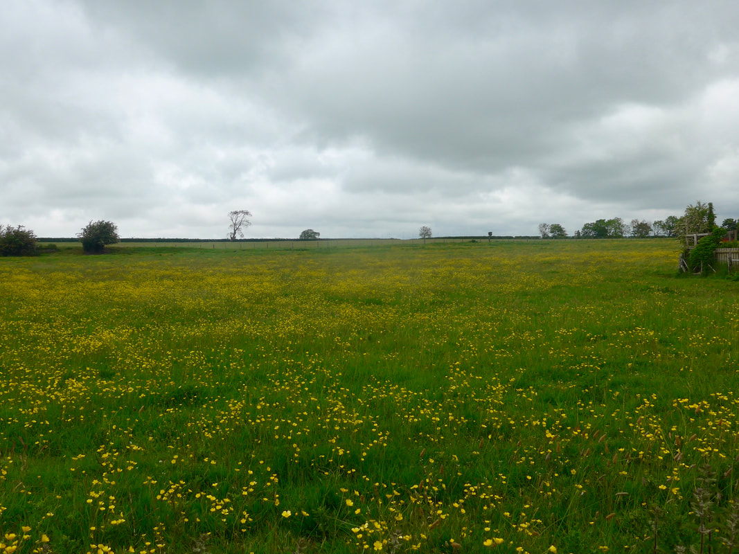 Marsh Buttercups
 The day before yesterday was our first day with the large rucksacks in over a year and it was a shock to the system. After an easy day yesterday with just the day pack, it was back to the full load today as we returned to our usual 'modus operandi' of changing accommodation location daily.
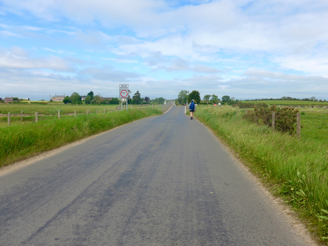
This walk was almost completely road walking as we turned the corner on the Solway Firth ready for our walk to Carlisle tomorrow. Roughly to the west of us was mostly marsh land with numerous water features criss-crossing, hence the road walking. The weather forecast was for cloudy with a chance of rain later in the day. To reach the start line for the walk we had to catch a bus to Abbeytown, returning to where we started yesterday's walk, but this time going forward.
This walk was almost completely road walking as we turned the corner on the Solway Firth ready for our walk to Carlisle tomorrow. Roughly to the west of us was mostly marsh land with numerous water features criss-crossing, hence the road walking. The weather forecast was for cloudy with a chance of rain later in the day. To reach the start line for the walk we had to catch a bus to Abbeytown, returning to where we started yesterday's walk, but this time going forward.
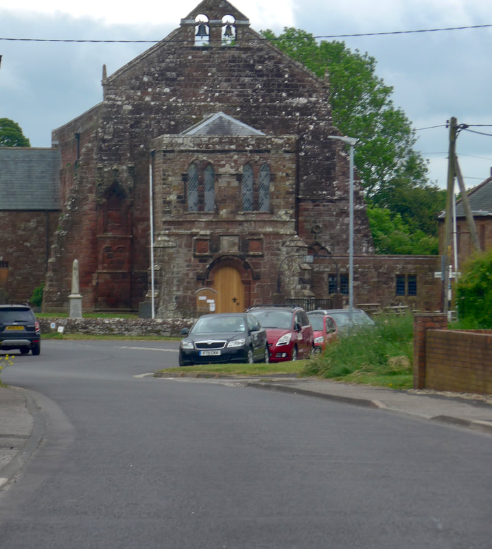
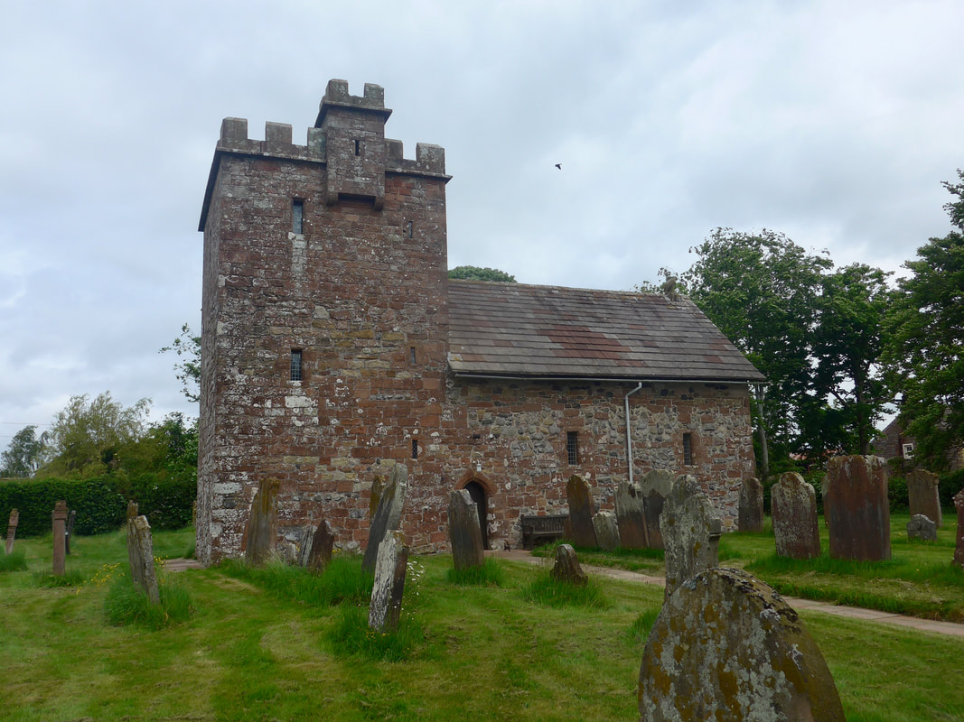
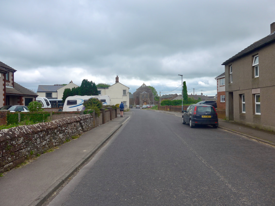 Approaching parish church
 When you look at the route for leaving Abbeytown, it looks as if there is a footpath following the old dismantled railway line to the Raby Grange area. However, it is a bit of a 'red herring' because there is no bridge across the River Waver at that point, below Knowehill. You would only have to backtrack to the road to go forward.
Later by Raby Cote, there is a bridge over the old railway bed and faint traces of the old line can be seen running off from the bridge. It looked too uncertain to us and with a such a long walk to complete we did not want to spend further time trying to find an invisible path and we kept to the road.
Much later in the day at Anthorn there was an opportunity for some beach walking. However, for the same reason, nearly seventeen miles to walk, we resisted walking on the sand with the heavy packs and kept to the hard pathway, running parallel to the beach.
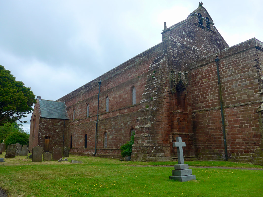
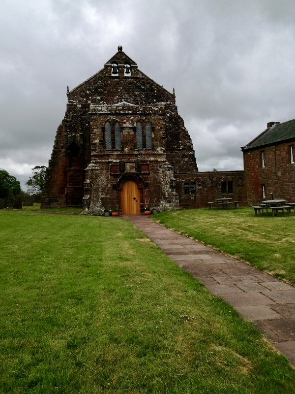
Leaving Abbeytown we passed the parish church mentioned in the write-up of yesterday's walk from Abbeytown to Silloth. The current church includes what was the church of the old Cistercian monastery. Even in this cut-down form it looks a formidable building and gives you an idea of the wealth that must have been around in the area in bygone days.
Later by Raby Cote, there is a bridge over the old railway bed and faint traces of the old line can be seen running off from the bridge. It looked too uncertain to us and with a such a long walk to complete we did not want to spend further time trying to find an invisible path and we kept to the road.
Much later in the day at Anthorn there was an opportunity for some beach walking. However, for the same reason, nearly seventeen miles to walk, we resisted walking on the sand with the heavy packs and kept to the hard pathway, running parallel to the beach.
Leaving Abbeytown we passed the parish church mentioned in the write-up of yesterday's walk from Abbeytown to Silloth. The current church includes what was the church of the old Cistercian monastery. Even in this cut-down form it looks a formidable building and gives you an idea of the wealth that must have been around in the area in bygone days.
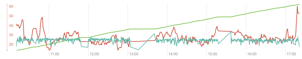
Altitude, etc.
Abbeytown Parish Church
 Salt Coates Junction
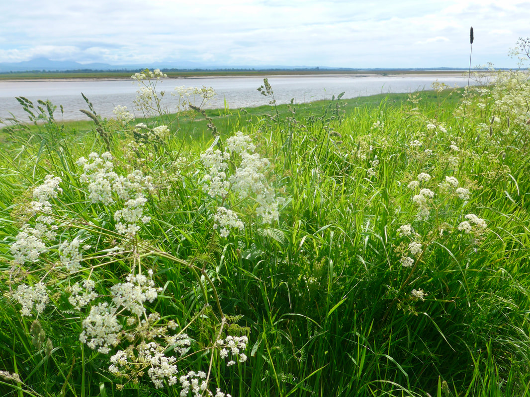
 The saving grace on the road walking was that for much of the day there was little traffic on the road. For all that, apart from one or two sections where there were, for example, views across the marshes, it was a case of head down and make the miles. For a fair bit of the walk initially there were high hedgerows which have anattraction but do serve to block the wider view. We liked the wild flower verges but after so many miles of them you become quite immune.
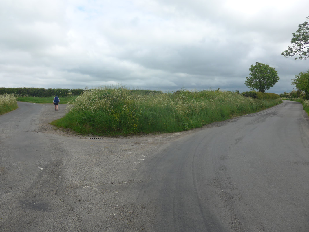
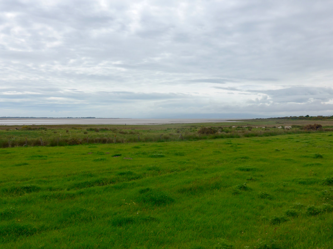
At Raby Grange we took the left fork to head down to Salt Coates, which offered distant views across the marsh to the coast beyond. At this juncture we were walking (albeit distantly) down the other side of the River Waver, which we had followed for a short distance yesterday while accessing the Calvo and Skinburness marshes. As the name implies, the village of Salt Coates was built on the creation and production of salt pans. The owners of the local abbey, Holme Cultram Abbey, worked some twenty-one salt pans in the local area. There was once a thriving salt industry all round the Solway coast. Rounding Salt Coates and moving towards Newton Arlosh you move to look over the Newton Marsh, beyond which you see the radio masts at Anthorn.
At Raby Grange we took the left fork to head down to Salt Coates, which offered distant views across the marsh to the coast beyond. At this juncture we were walking (albeit distantly) down the other side of the River Waver, which we had followed for a short distance yesterday while accessing the Calvo and Skinburness marshes. As the name implies, the village of Salt Coates was built on the creation and production of salt pans. The owners of the local abbey, Holme Cultram Abbey, worked some twenty-one salt pans in the local area. There was once a thriving salt industry all round the Solway coast. Rounding Salt Coates and moving towards Newton Arlosh you move to look over the Newton Marsh, beyond which you see the radio masts at Anthorn.
 Church of St John the Baptist
 We continued on the road, heading for the village of Newton Arlosh where there is a lovely example of a fortified church. The nearby village of Skinburness was severely flooded in the 13th C and abondoned. A decision was made to re-establish the community at Arlosh and a new town built (Newton Arlosh). The monks of Holme Cultural Abbey decided to also replace the church and the Church of St John the Baptist was built in 1303. The local area was in the front line of the wars with the Scots which helps explain why it was built as a fortified church. Like many other churches and monasteries it suffered during the Dissolution before being restored and extended in 1844.
 Whitrigg Road Bridge
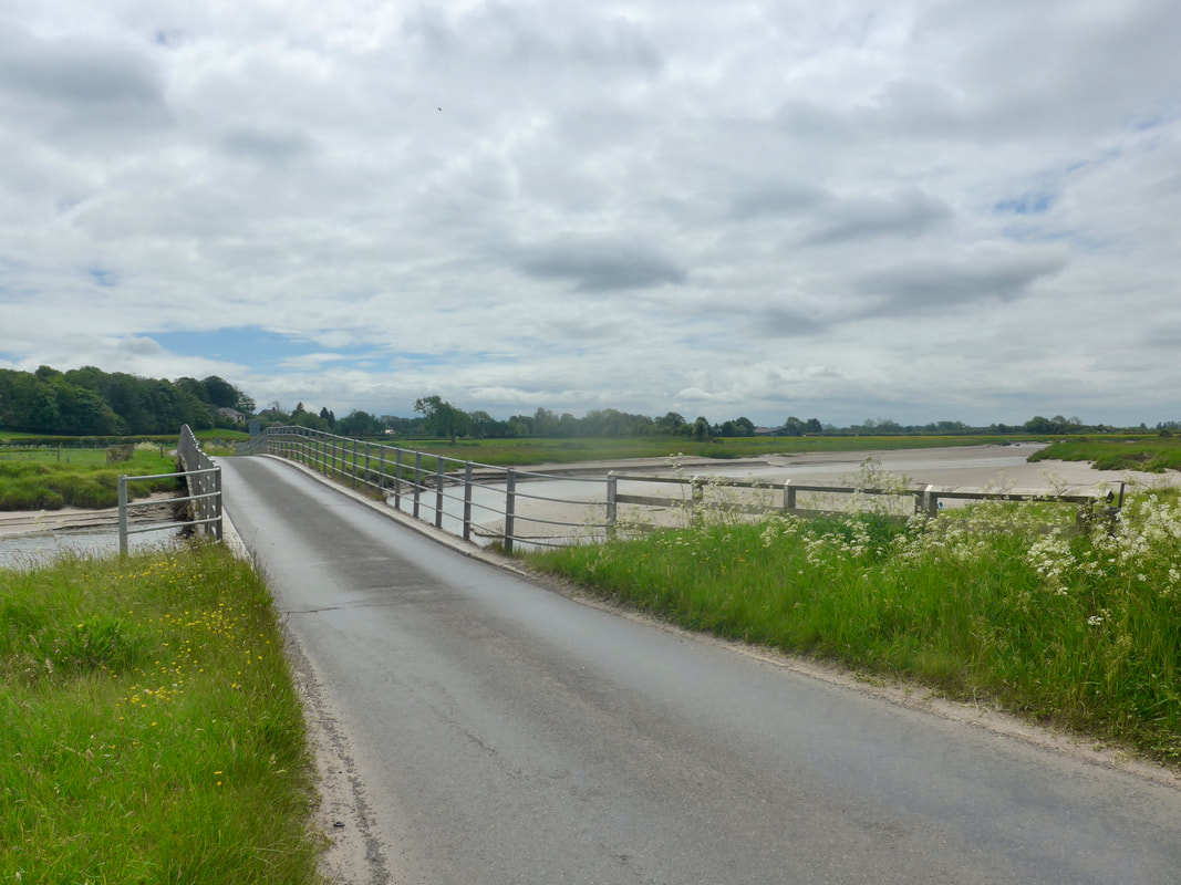
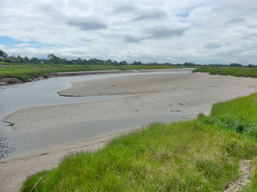
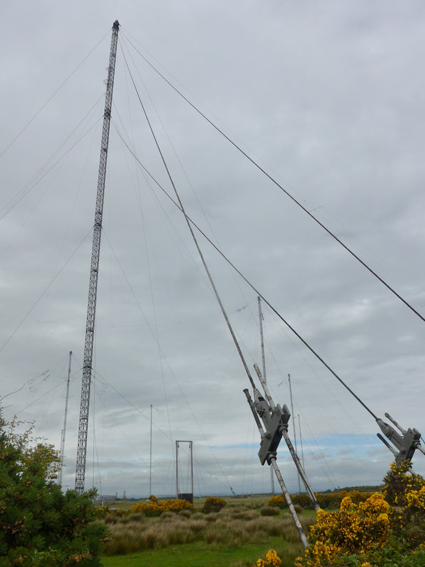
 The road walk continued through Angerton, where we skipped past the village to the west, on up the road to cross the Whitrigg road bridge over the River Wampool. After crossing the bridge we turned left at the T-junction to pass below the Royal Naval Air Station Anthorn (HMS Nuthatch), which originally operated as a military airfield. Here you finally pass the tall radio masts which have dominated the skyline for the past couple of days. There are various types of antenna on the site the tallest of which consists of thirteen masts, each 227 metres (745 ft) tall. We stopped at Anthorn, setting up on a wide section of the verge to brew up and eat our packed lunch.
Whitrigg Bridge & River Wampool
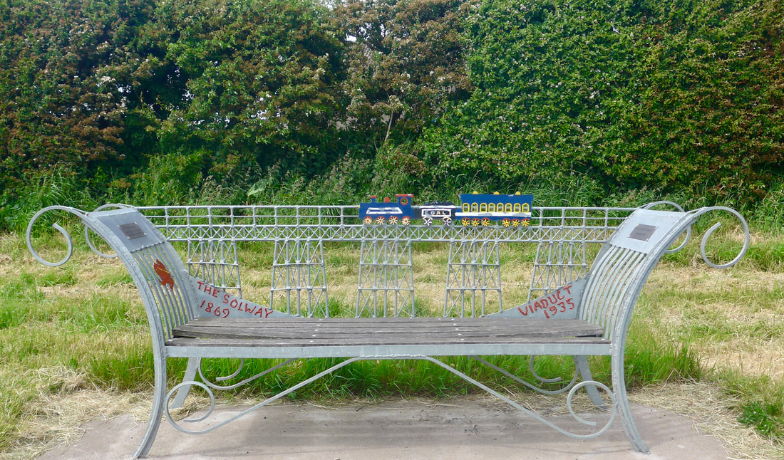 Solway Viaduct Commemoration Bench
 On the shore front there are a couple of nice benches commemorating the Solway Viaduct (1869 - 1935), which ran from Brayton in Cumbria to Kirtlebridge, Annan in Scotland.
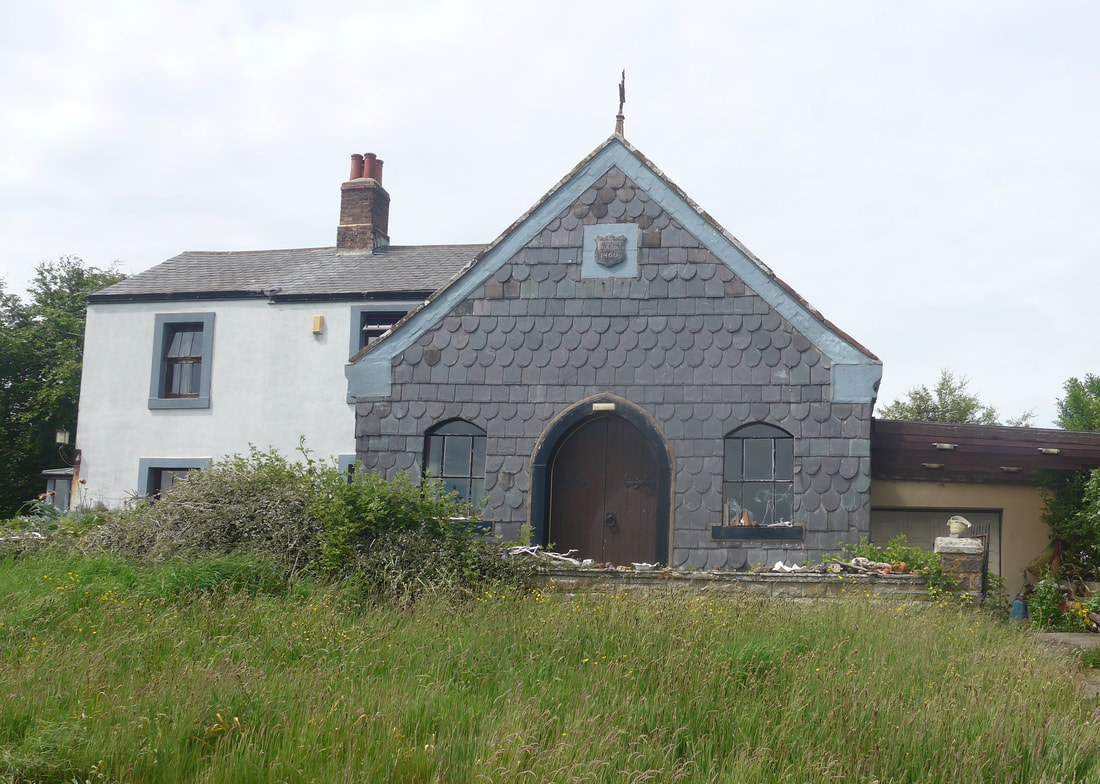 Slate-dressed Gable
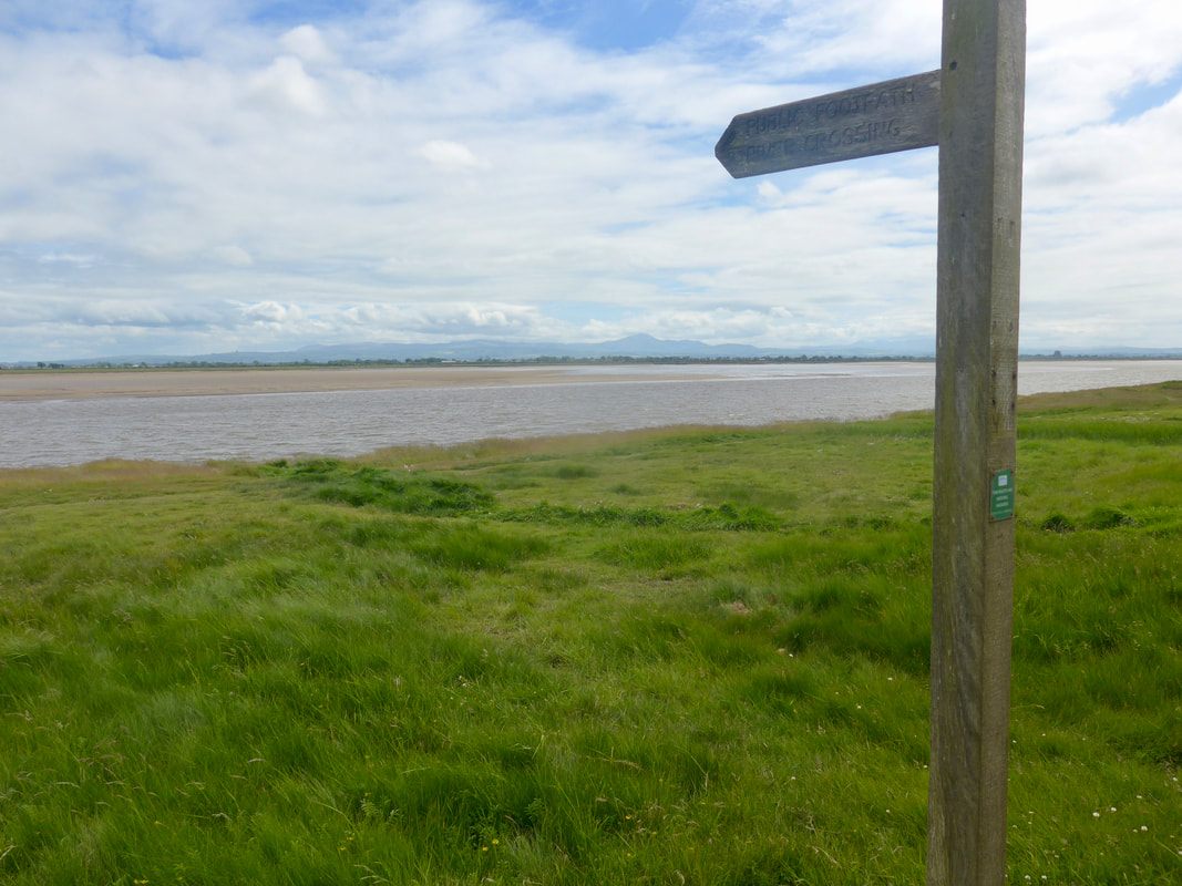
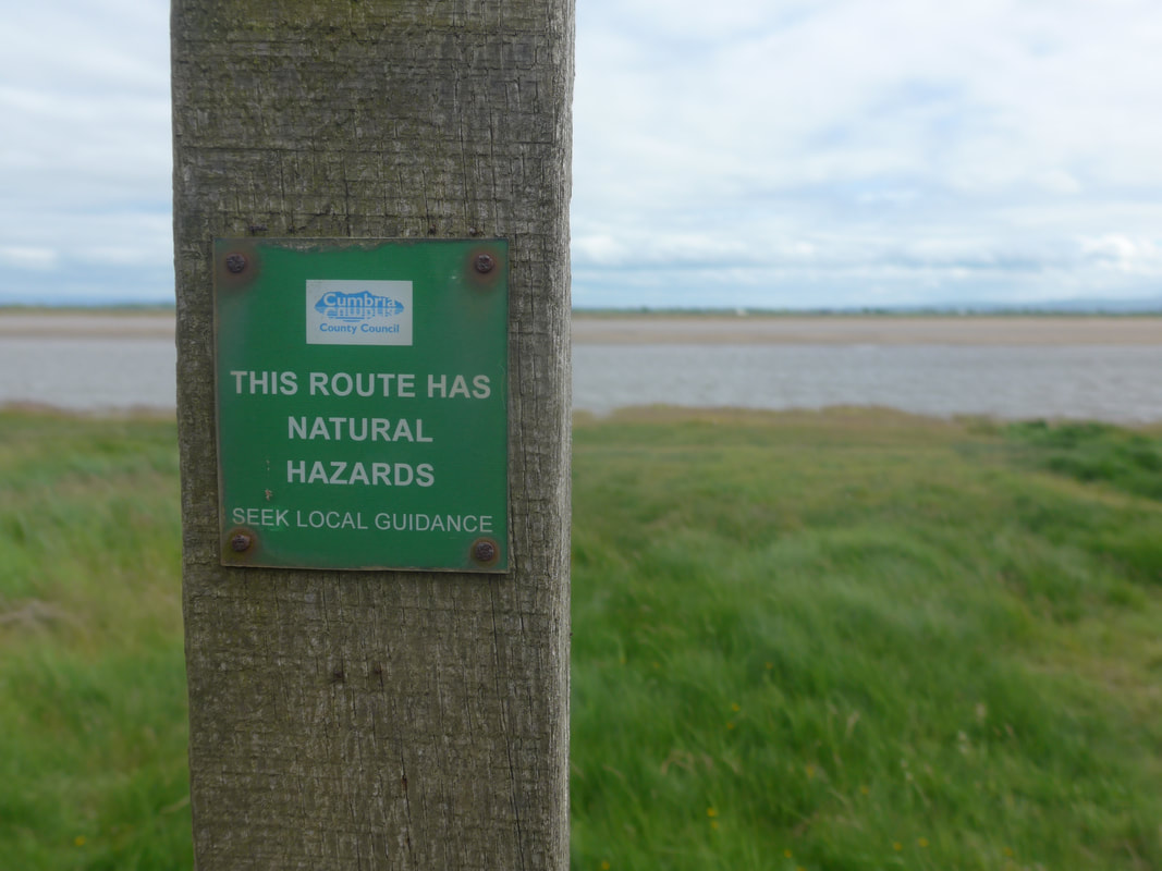
 The views from the beach at Anthorn were lovely, all silvers and blues, creating a very peaceful scene over on the Scottish side. We passed a house on which the front gable had been dressed with slate giving it a very pretty presentation. There is supposed to be a footpath crossing the Solway at Anthorn Bridge but it was not something that I would think about crossing without in-depth local knowledge as the sands are said to be treacherous.
Views from Anthorn & Anthorn Bridge
 Anthorn Right of Way
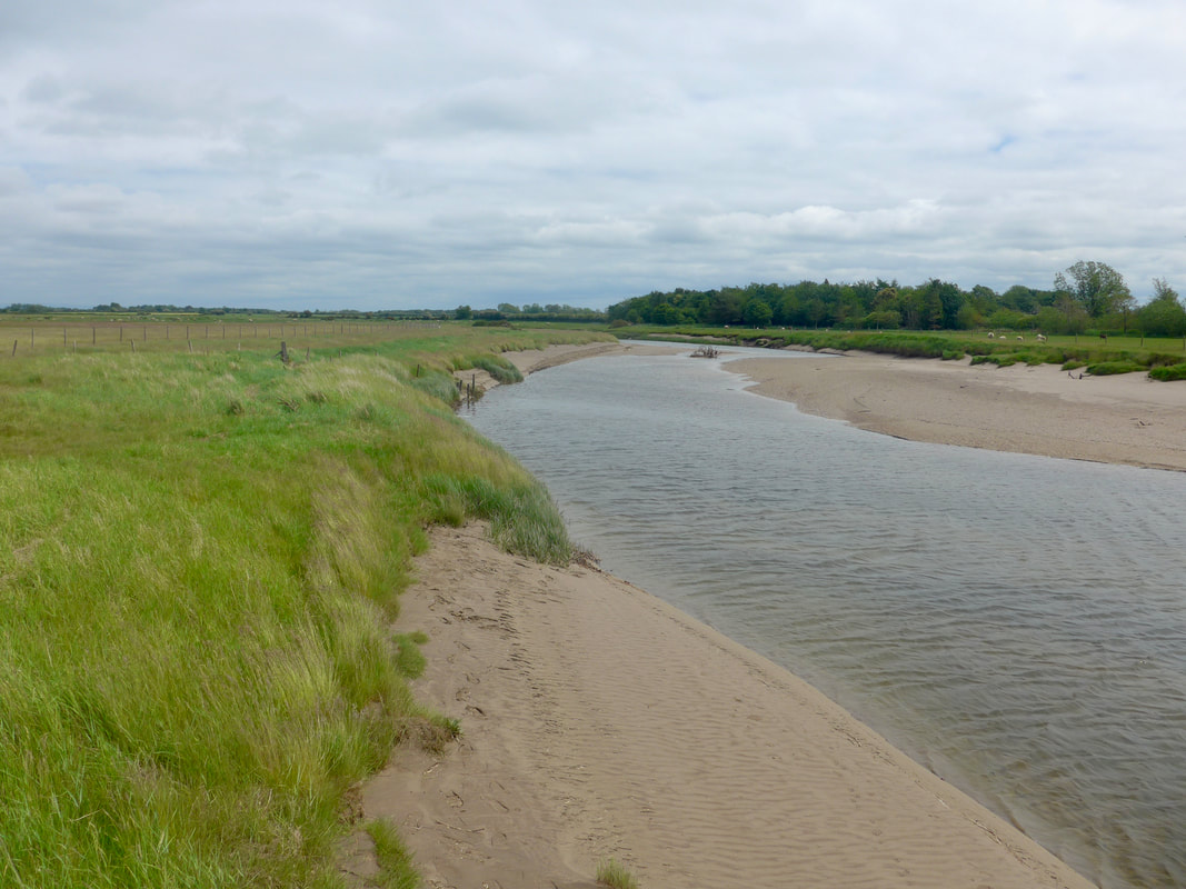
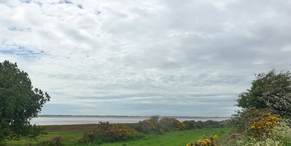
 After leaving Anthorn Bridge the route starts to turn the bottom of the peninsula, heading towards Bowness-on-Solway and the banks of the River Eden, which then leads to Carlisle. The views out and over the mouth of the Solway Firth, particularly as the day faded, were just sublime.
We could have been walking on the beach along the Cardurnock Flats but when we had tried it at Anthorn Bridge the sand was very soft and with the heavy packs, painful on the calf muscles. Still, it did not hamper us from enjoying the view or the feast of yellow broom on the wild hedgerow. Along the route you pass the RSPB Campfield Marsh reserve, said to be one of the most important wetland areas in the UK, particularly in springtime when wader numbers are plentiful.
Not long after we thankfully came to the village of Bowness where we were to be staying the night. While not the best or most interesting walk I've ever done, it did have its high points, among them the views of the Solway Firth from Anthorn onwards. It seems to me this whole section of Cumbria and, over the Firth in Galloway, does entail a lot of road walking and you just have to settle that in your mind and look for the bits to enjoy.
 RSS Feed
