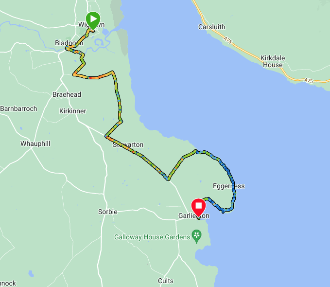
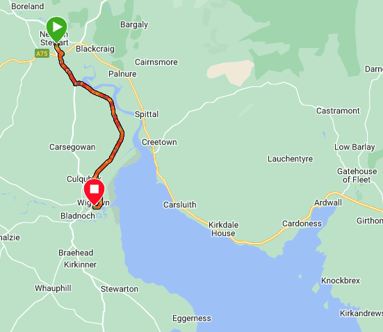
Route Map
Much of the planning for this adventure has been determined by the availability of accommodation. As a consequence of the long lay off occasioned by co-vid, we did not think our fitness was good enough to camp our way round Dumfries & Galloway, so we decided to try booking accommodation for the whole trip. It was not straightforward with accommodation sparse in some areas, fully booked in others and non-existent in some places. This meant we had to be fluid in how we completed the walks, both in terms of direction and continuity. At the end of today's walk, for example, we had to take a bus back to Newton Stewart because there was no accommodation to be had in either Garlieston or Whithorn.
The adventure as a whole, turned out to be a patchwork endeavour as we jumped about taking advantage of local transport when we could, sometimes walking forward, at other times walking back. One one occasion we left a walk through a military firing range for over a week so that we could access the long beach walk on a non-firing day. It was well the wait.
The adventure as a whole, turned out to be a patchwork endeavour as we jumped about taking advantage of local transport when we could, sometimes walking forward, at other times walking back. One one occasion we left a walk through a military firing range for over a week so that we could access the long beach walk on a non-firing day. It was well the wait.
Elevation
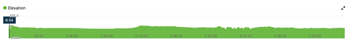
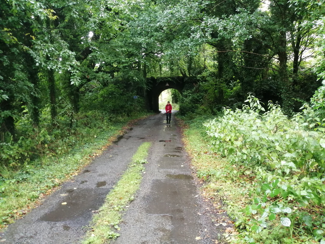
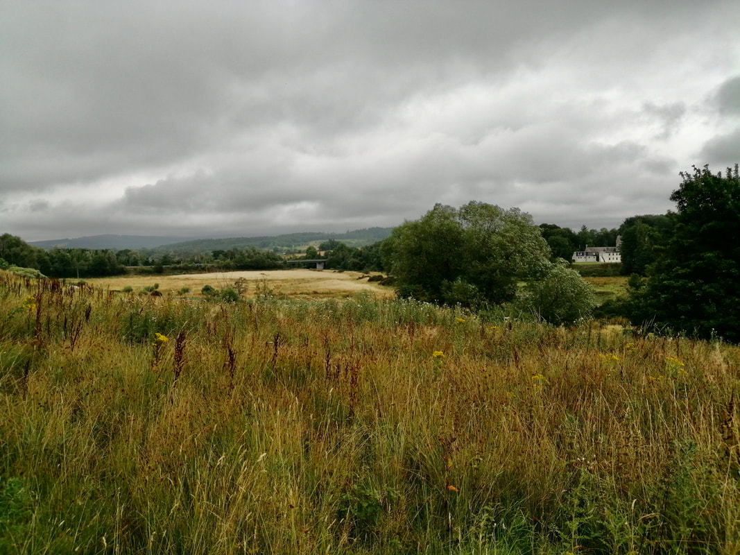
 Bladnoch Road Bridge
 Our plan today had been to try and find a route as close to the river as possible. There is no formal footpath, so it would have been a case of trying to find a route across the rough ground. There is almost no elevation to the walk which is mostly completed at sea level.
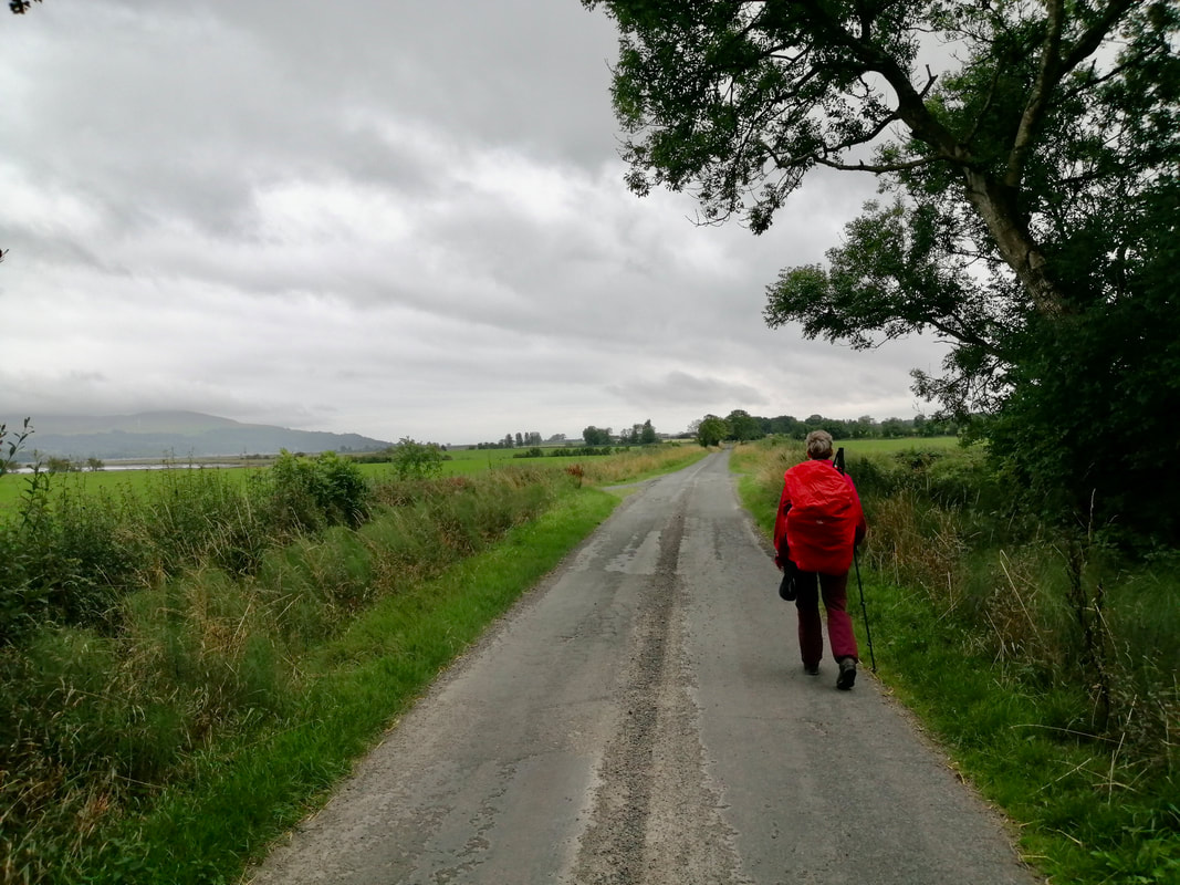
Shortly after we finished last night the heavens had opened and torrential rain fell for most of the night. It had eased as we were sitting eating breakfast and we decided to try keeping to the original plan. The commitment did not last long. As we left the B&B very heavy rain started and was with us for most of the day.
We tried to find a footpath down by Harbour Road to take us to an old railway line but despite our best endeavours we could not get through the heavy, over-grown and very wet undergrowth. The rain was so torrential we dare not take out our mobile phones or the paper map to check for other alternatives. What should have been a river walk turned into a road walk instead.
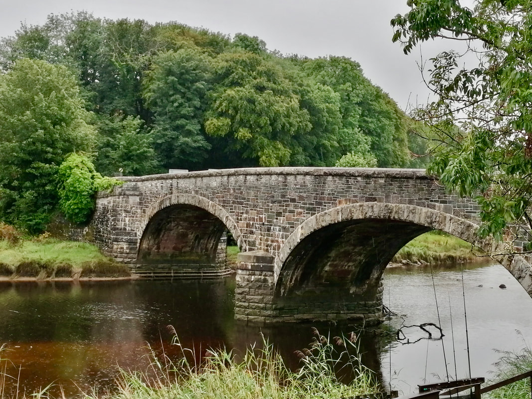
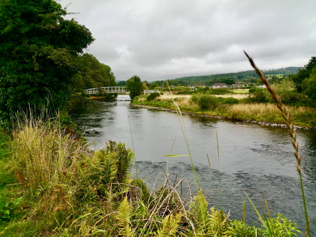
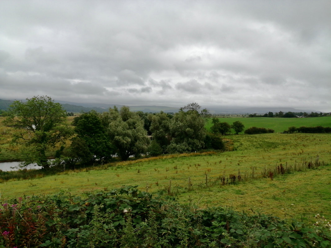
 River Bladnoch
 ayewhithorn2.com/2020/01/22/52/ From Harbour Road we walked up to join the A714 as it comes out of the town. The 714 connects with the B7005 at the village of Bladnoch, where there is a pre-historic 'standing stone'. As you walk along the Main Street the stone stands out because it is slightly higher than the rest of the wall. Seen from the other side (field side), it is also much broader.
At the village, the road crosses the river on the Bladnoch Road Bridge. The first bridge was built on the site in 1728, replaced in 1867, with the old bridge left to lie derelict.
At the village, the road crosses the river on the Bladnoch Road Bridge. The first bridge was built on the site in 1728, replaced in 1867, with the old bridge left to lie derelict.
 Viaduct Remains
 After crossing the bridge our route turns to the left to go beneath the remains of the railway viaduct bridge that ran over the River Bladnoch. Opened on 12 March 1861, it was built using some of the stones left over from the old, 1728 road bridge mentioned above. Carrying the line of the Wigtown Railway over the river it closed in June 1965. The spans that went over the water no longer exist.
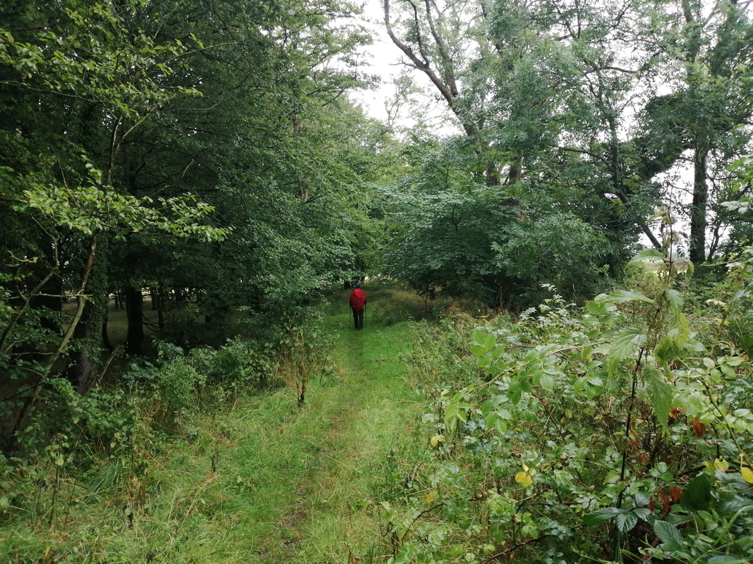
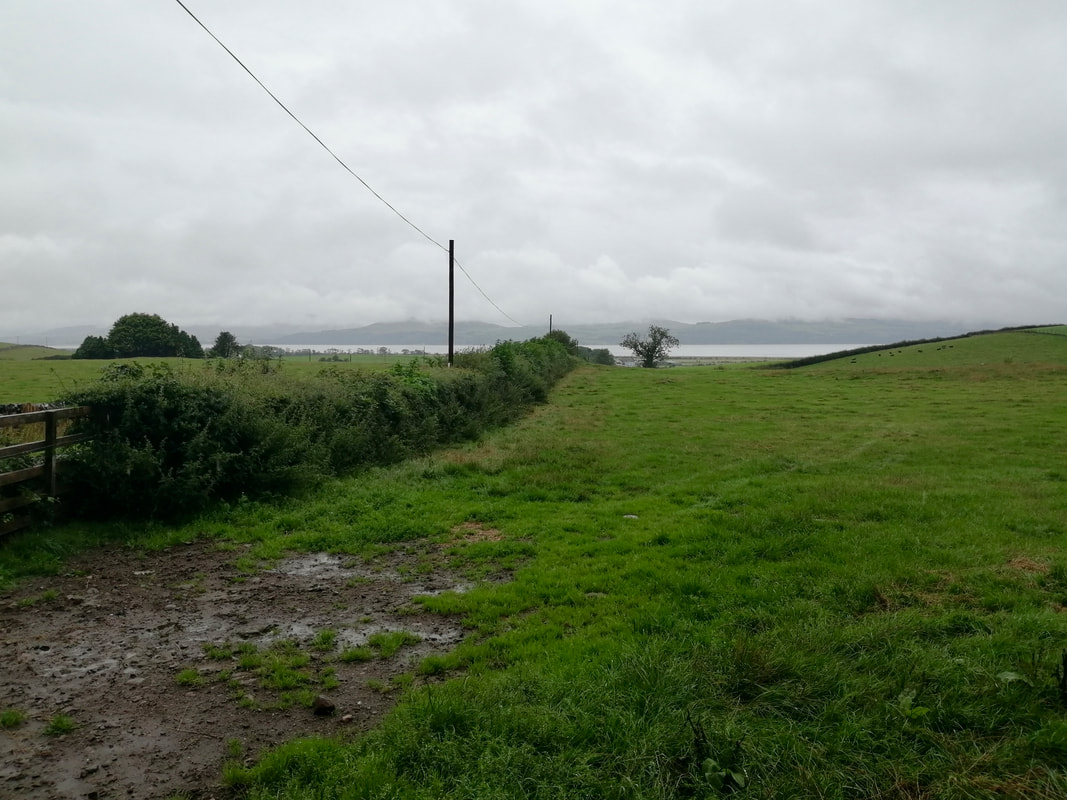
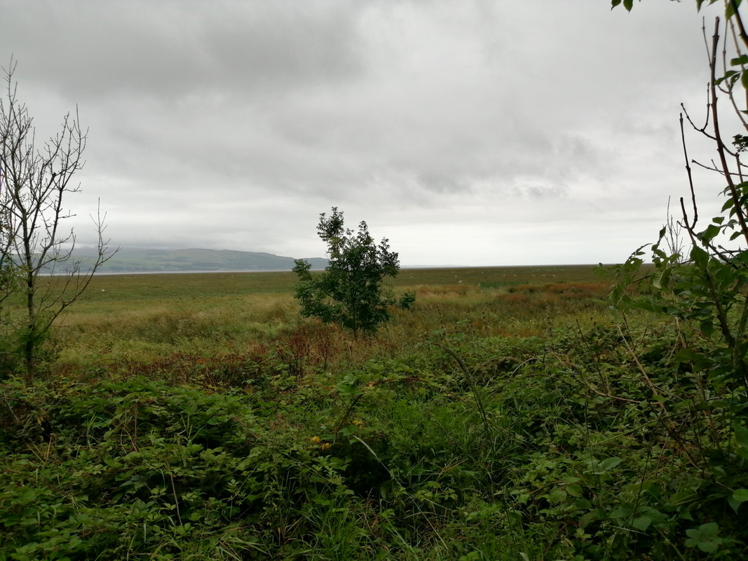
 Road Bordering RAF Wigtown
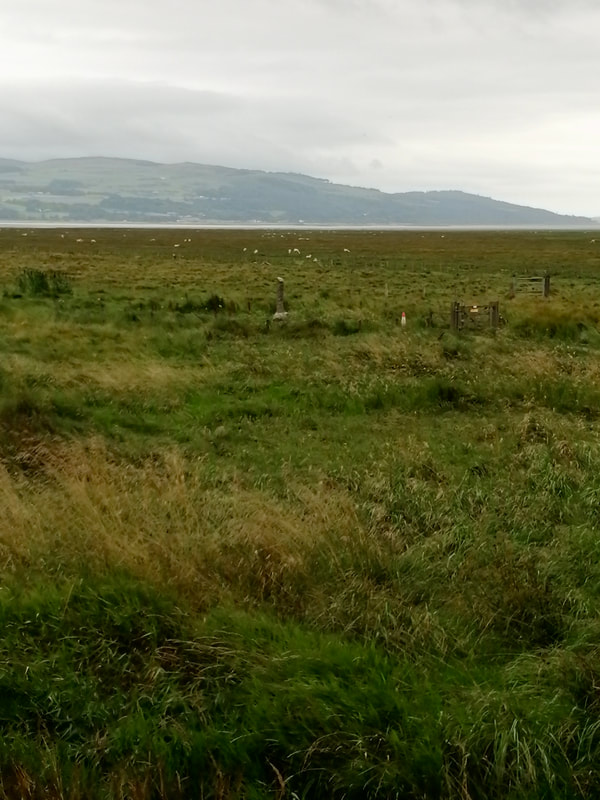
 Passing under the viaduct the unnamed road runs out to the edges of Baldoon Airfield, formerly known as RAF Wigtown. Near the road-end there is a path that runs down to the RSPB bird reserve, Crook of Baldoon. The reserve overlooks Wigtown Bay and is home to a number of species of waders.
After the road end the route follows a small road along the bottom edge of the airfield from where you can see the old airfield buildings across the fields. RAF Wigtown was operational from 1941 to 1945, and again in 1947/48. During the operational period it played host to a variety of squadrons and support services. The station was closed in 1948 and passed to civilian control since when it has been used by a variety of small businesses.
After the road end the route follows a small road along the bottom edge of the airfield from where you can see the old airfield buildings across the fields. RAF Wigtown was operational from 1941 to 1945, and again in 1947/48. During the operational period it played host to a variety of squadrons and support services. The station was closed in 1948 and passed to civilian control since when it has been used by a variety of small businesses.
RAF Wigtown
 To the River Cree
 Just after you pass the Mains of Baldoon, on your right is the location of the sparse remains of Baldoon Castle. Built in the 16th Century it was originally owned by the Dunbars of Westfield. Although we did not visit the ruins, I mention it because local legend has it haunted by the ghost of one Janet Dalrymple who walks the castle in her blood spattered wedding dress. The local legend is reputed to be the source of Sir Walter Scott's 'The Bride of Lammermoor', and also Gaetano Donizetti's opera 'Lucia De Lammermoor'.
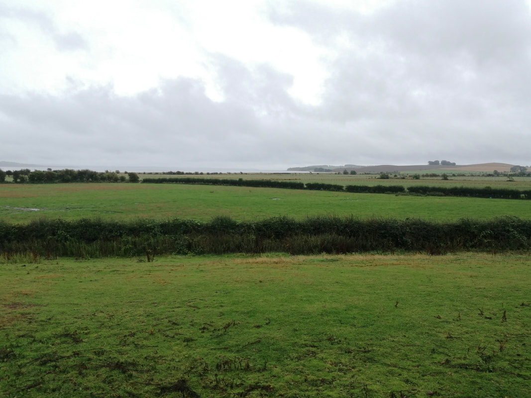
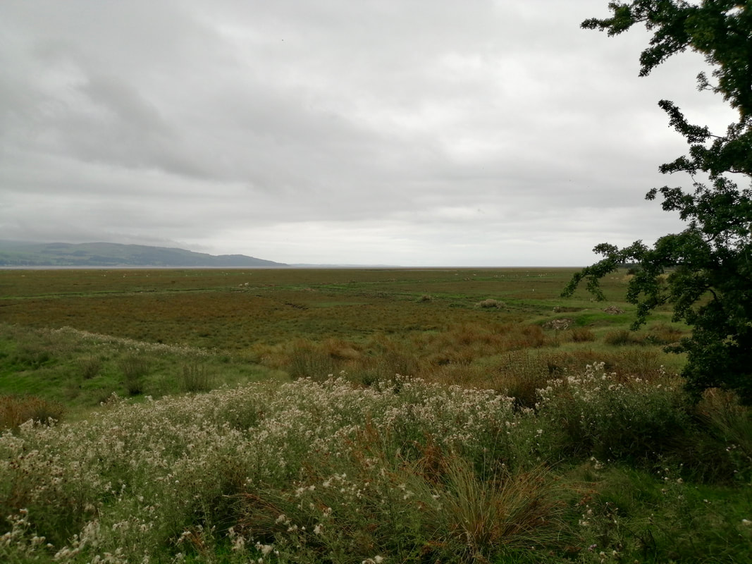
After walking along the western edge of the airfield we turned on to the southern edge to follow a small road down to the Crook of Baldoon, closer to the River Cree and Wigtown Bay. As the walk progressed the state of the path deteriorated in the heavy rain as we moved on to farm track and then local footpaths. It was particularly poor walking on the section from Crook of Baldoon to South Balfern as we walked across open and enclosed countryside. With the heavy rain the undergrowth of grass, nettles, thistles and brambles was soaking wet and it was not too long before our feet were too. As we turned on to the South Balfern section, views to the river and the bay beyond started to open up.
It is worth noting again here that there is a substantial local footpath network in Dumfries and Galloway that are not all shown on OS Maps and the website is worth a visit if you are to be walking here.
It is worth noting again here that there is a substantial local footpath network in Dumfries and Galloway that are not all shown on OS Maps and the website is worth a visit if you are to be walking here.
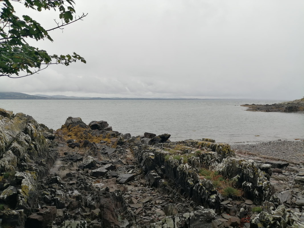
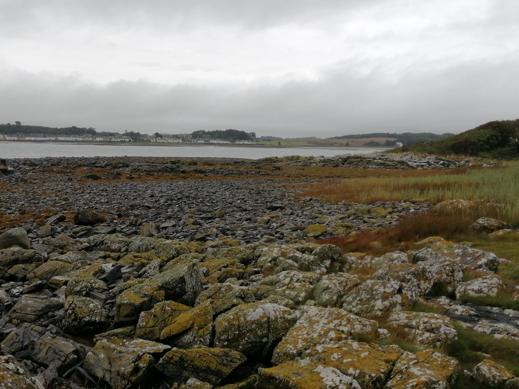
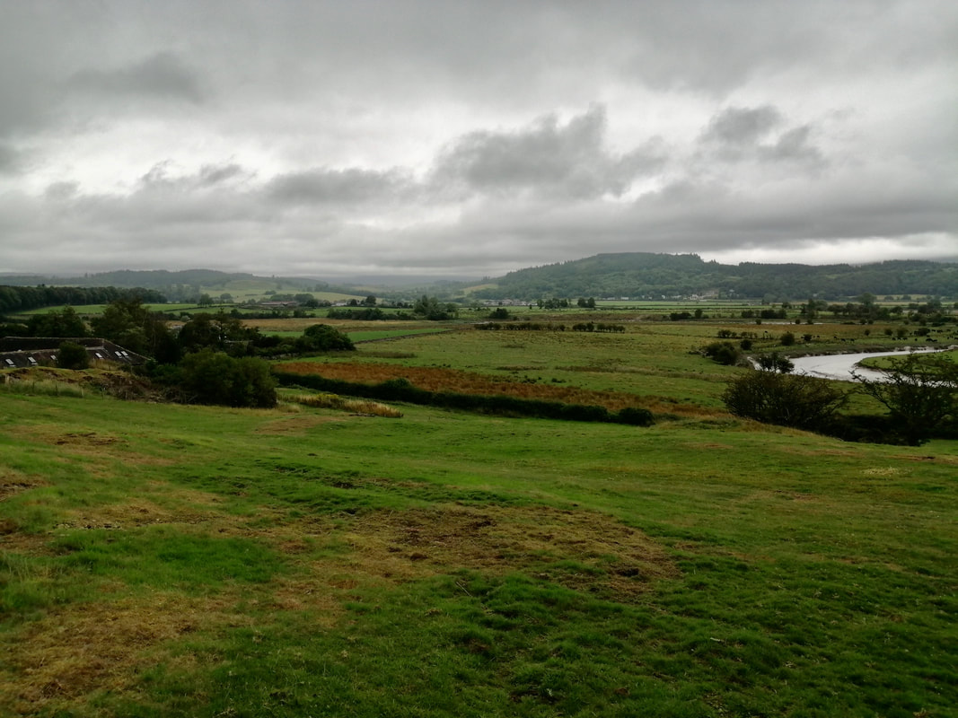
Crook of Baldoon to South Balfern
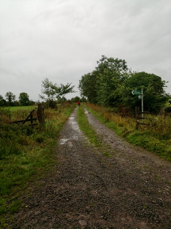
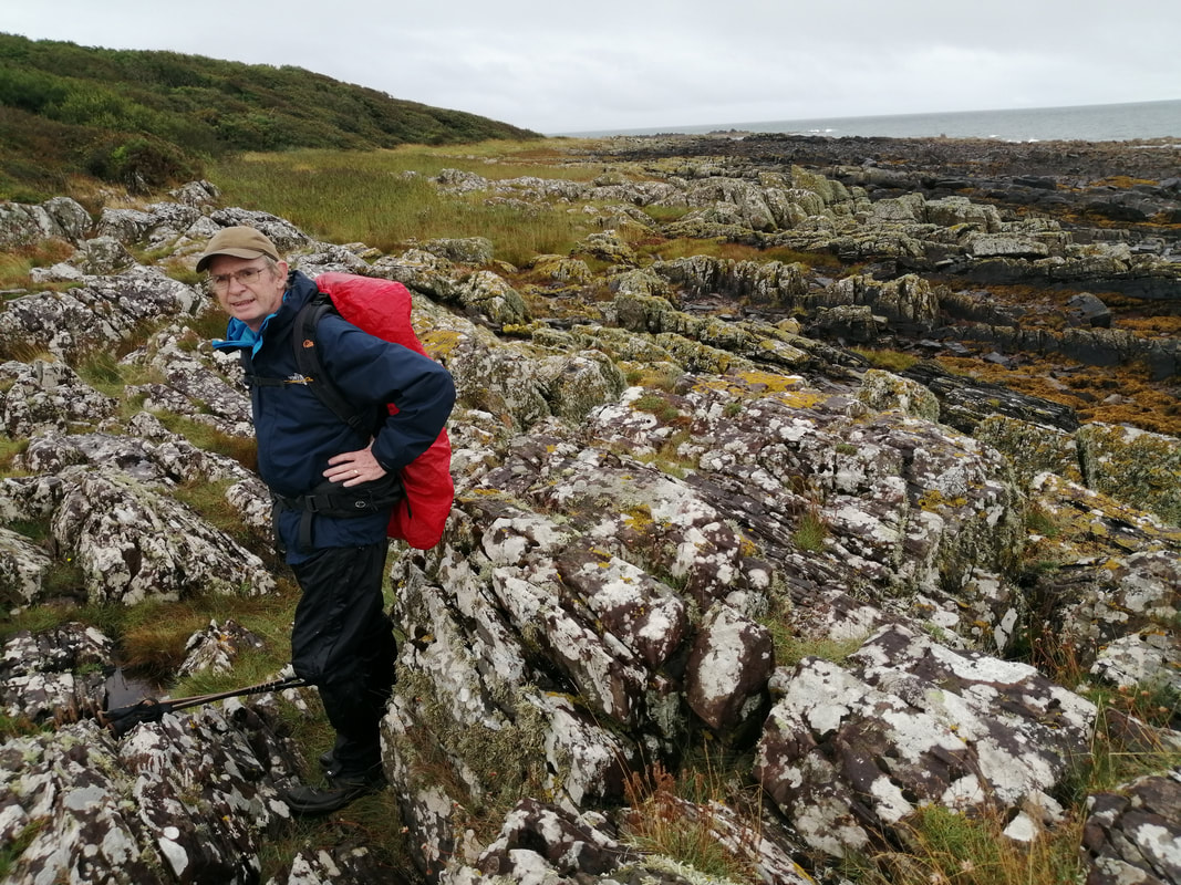
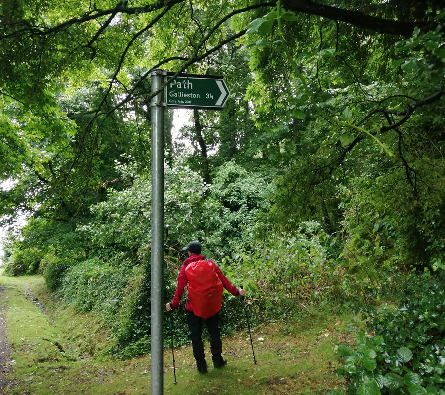 Start of Gairlieston Path
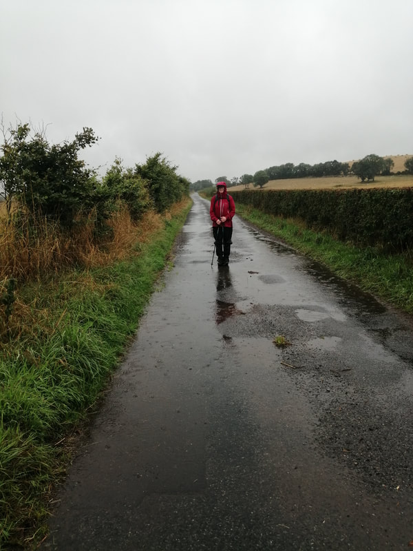
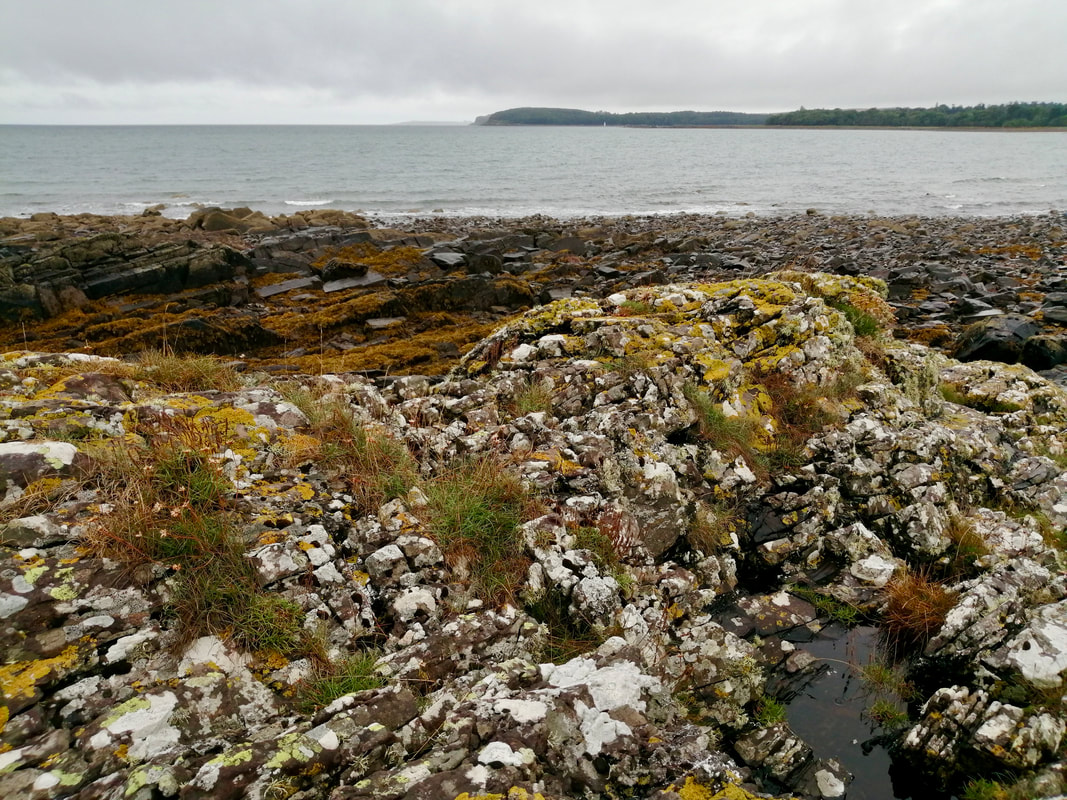
 The rough walking continued just about until we reached the Skellarie Plantation when we moved on to a track and then another unnamed road until we reached South Balfern. With the inclement weather continuing we made the decision to head up to the main road and make miles rather than try to force a path along the riverbank. We had a bus to catch at Gairlieston and did not want to miss it.
It was one of those long, uphill roads that you begin to hate before you reach the end of it. It looked fairly short on the map but seemed to go on forever. I suppose being wet and cold helps you look on the dim side of life. Once back on the B7004, it was heads down and make the miles until our next turnoff to head down to Innerwell Port on the coast for a forest walk round Wigtown Bay and into Gairlieston Bay. From the South Balfern / B7004 junction to the turn off to Innerwell Fishery it is just short of three miles and a further mile to the cut off for the Gairlieston footpath.
It was one of those long, uphill roads that you begin to hate before you reach the end of it. It looked fairly short on the map but seemed to go on forever. I suppose being wet and cold helps you look on the dim side of life. Once back on the B7004, it was heads down and make the miles until our next turnoff to head down to Innerwell Port on the coast for a forest walk round Wigtown Bay and into Gairlieston Bay. From the South Balfern / B7004 junction to the turn off to Innerwell Fishery it is just short of three miles and a further mile to the cut off for the Gairlieston footpath.
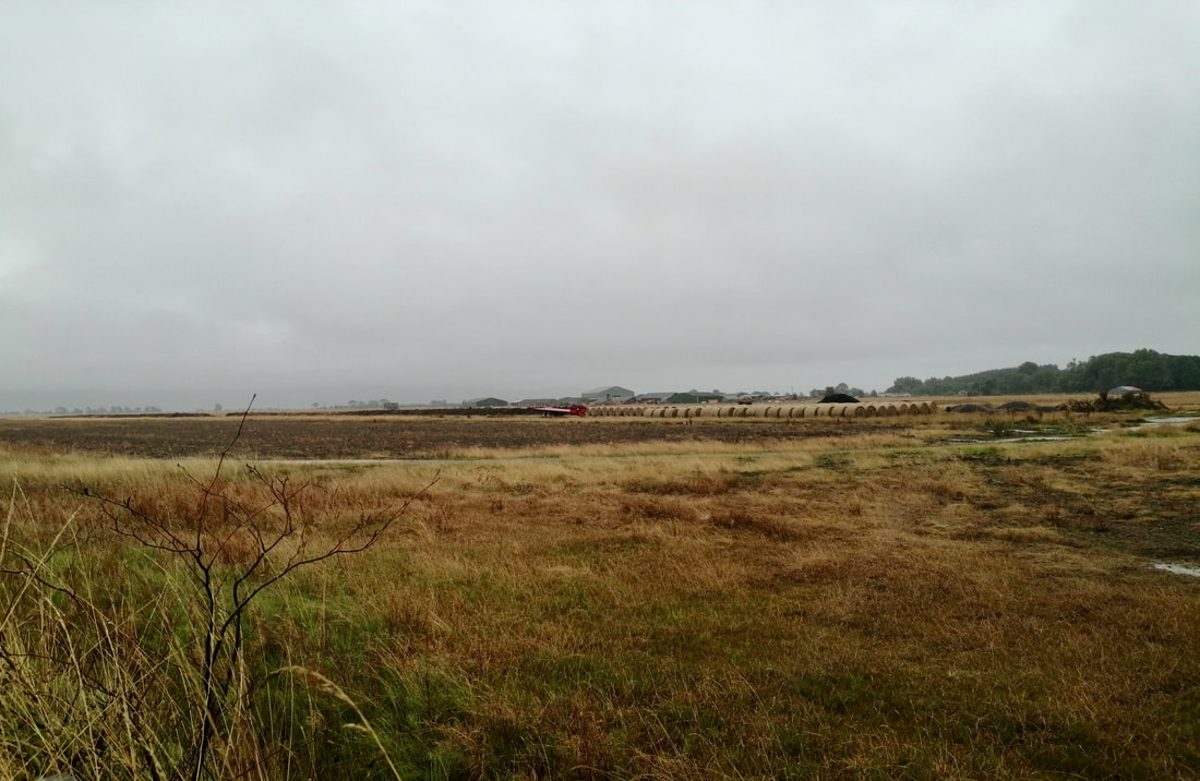
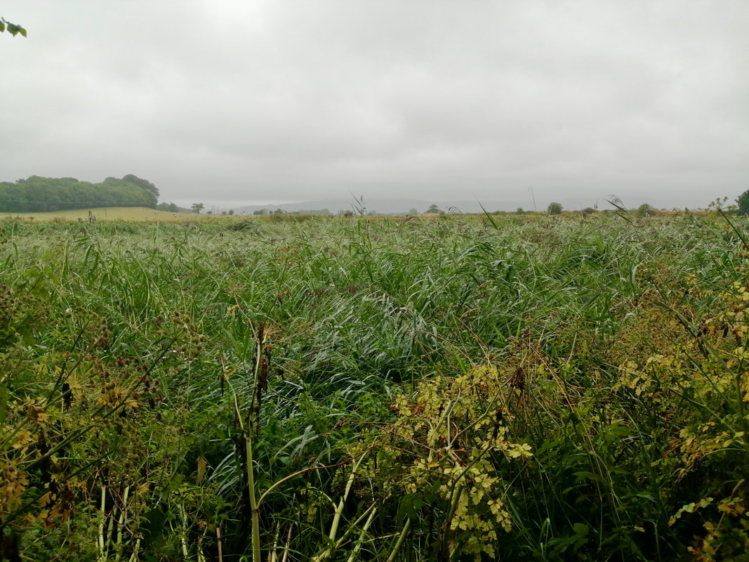
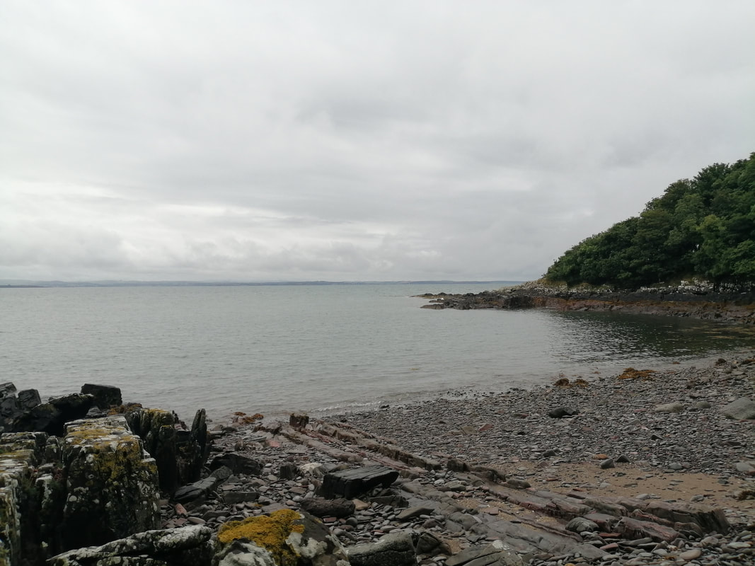
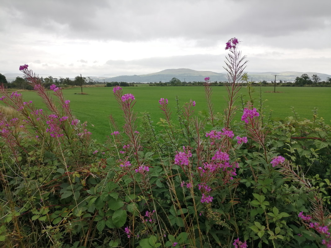
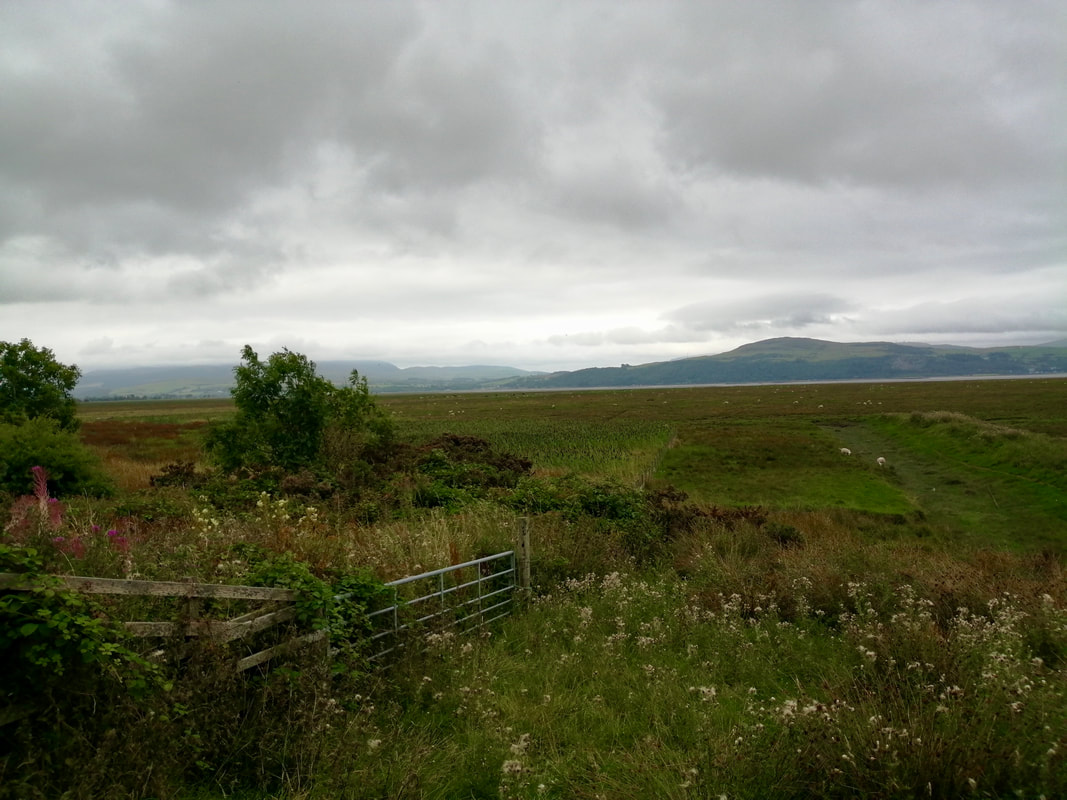
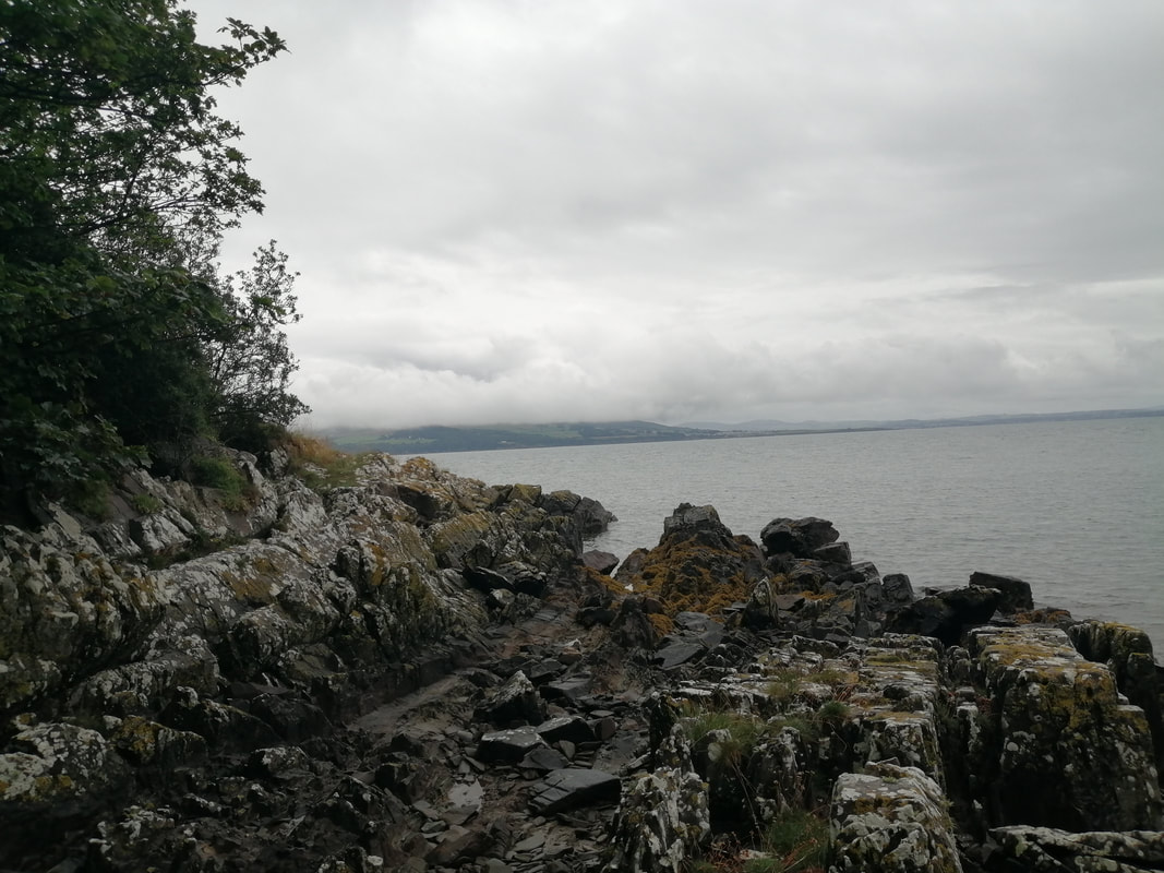 From Eggerness Point
 The weather eased slightly as we headed for Gairlieston, with only light rain to contend with initially and even this eased up at one point and we started to dry out. The path was narrow and muddy in places and occasionally with heavy growth.
By the time we reached the Port Whapple area we were wearying and with the rain off decided to stop for coffee. As you would expect, sitting in the open on the rocks overlooking Wigtown Bay and just starting to relax, the rain came back with a vengeance and we quickly had to grab our gear and run for the shelter of the trees.
By the time we reached the Port Whapple area we were wearying and with the rain off decided to stop for coffee. As you would expect, sitting in the open on the rocks overlooking Wigtown Bay and just starting to relax, the rain came back with a vengeance and we quickly had to grab our gear and run for the shelter of the trees.
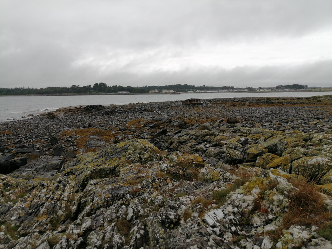
Coffee finished in the trees where we had a little bit of shelter, we continued on through the woods on a narrow muddy path. The trees thinned a little as we rounded Eggerness Point and on to Gairlieston Bay and we could now see the houses of the town of Gairlieston and across the bay to Sliddery Point and beyond that in the distance, Cruggleton Point. Despite the bleak weather, we could see enough of Wigtown Bay to know that there must be grand views across on sunny days to the Kirkcudbright Peninsula and slightly further south to the peaks of the Lake District.
The notion that the last mile is the longest one is very true. Seeing the houses of the town we began to think that was us just about finished but the circumference of Gairlieston Bay is deceptive and it went on for much longer than we expected. After our break it was difficult to recover the ease of walking and within a mile we had stopped again to catch our breath. The route continued through the woods, initially on a very narrow path but widening as we came closer to the road in to the town. From hitting the road to our bus stop was just less than a mile but felt like ten. You could, if the tide were out, walk the final mile along the sandy beach. we were too weary and chose to walk on the quiet road. Along the way to the bus stop we passed the old water wheel in Gairlieston.
One of the difficulties of walking in Scotland is that there are not the same number of way marked coastal paths are there are in England and Wales. With the joys of freedom to roam (FTR) there is an expectation that within the restriction of FTR you will just find a way through. That is fine until you find out there is no way through for one reason or another and you are forced to turn back and find an alternative route. It would be interesting to hear from other coastal walkers whether or not they have managed to walk down the River Cree or whether like us that walked the road.
One of the difficulties of walking in Scotland is that there are not the same number of way marked coastal paths are there are in England and Wales. With the joys of freedom to roam (FTR) there is an expectation that within the restriction of FTR you will just find a way through. That is fine until you find out there is no way through for one reason or another and you are forced to turn back and find an alternative route. It would be interesting to hear from other coastal walkers whether or not they have managed to walk down the River Cree or whether like us that walked the road.

 RSS Feed
