 Profile Example
 After a couple of weeks resting at home and teamed up again with my wife, Joanna, we were looking forward to making some good progress round the Kent coast on a ten-day jaunt from Margate to Brighton.
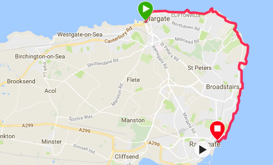
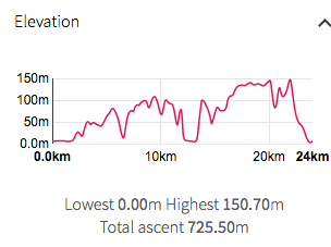
First stage in the adventure was catching the over-night sleeper from Dundee to London, then a train to Margate to start in the early afternoon with a half-day's walking round the peninsula to Ramsgate. Since crossing the Humber Estuary at Hull some months ago, I have been walking the coast of the flat counties of Lincolnshire, Norfolk, Suffolk, Essex and the early part of Kent from the Hoo Peninsula down to Margate. However, the profiles of the walk start to change here, initially low hills up to about fifty metres, rising up to one hundred and fifty metres as we move on to the South Downs and the cliffs round about Deal, Dover and Folkstone, including the famous 'Seven Sisters'. Saving grace is that we are travelling 'light' this time. With so many accommodation options on the South Coast we decided not to camp but to do it 'the tourist way', so we are using primarily Airbnb this trip.
First stage in the adventure was catching the over-night sleeper from Dundee to London, then a train to Margate to start in the early afternoon with a half-day's walking round the peninsula to Ramsgate. Since crossing the Humber Estuary at Hull some months ago, I have been walking the coast of the flat counties of Lincolnshire, Norfolk, Suffolk, Essex and the early part of Kent from the Hoo Peninsula down to Margate. However, the profiles of the walk start to change here, initially low hills up to about fifty metres, rising up to one hundred and fifty metres as we move on to the South Downs and the cliffs round about Deal, Dover and Folkstone, including the famous 'Seven Sisters'. Saving grace is that we are travelling 'light' this time. With so many accommodation options on the South Coast we decided not to camp but to do it 'the tourist way', so we are using primarily Airbnb this trip.
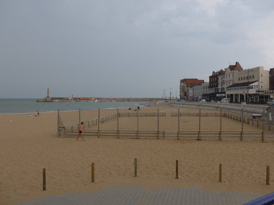
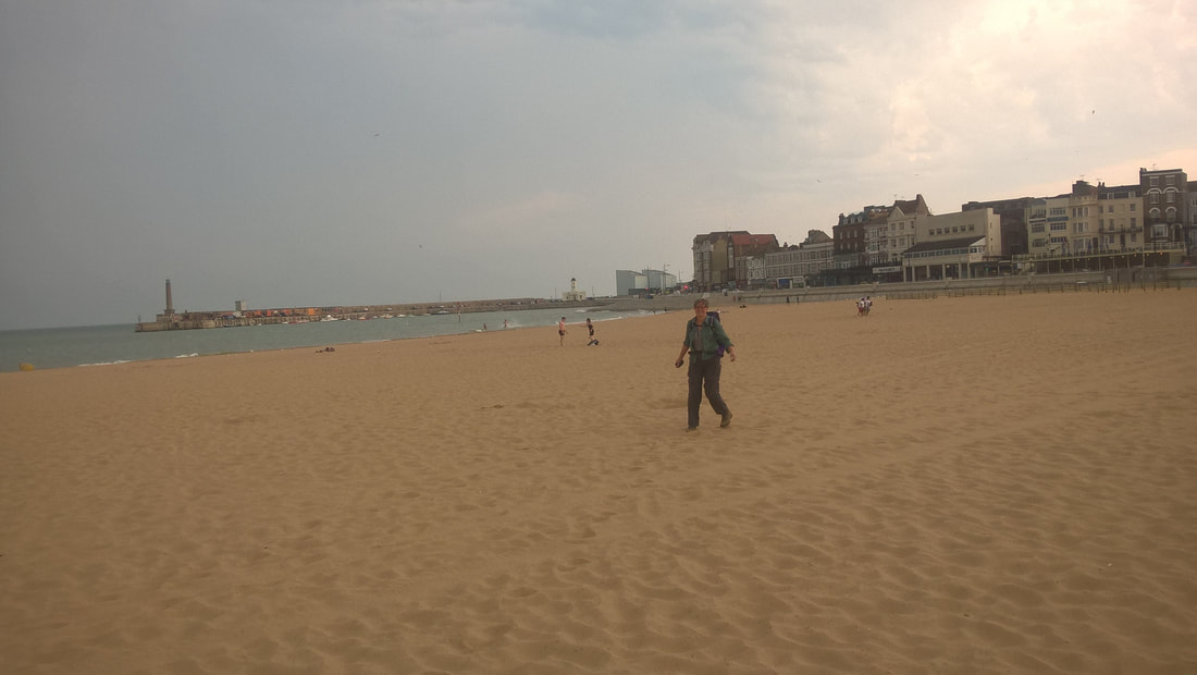
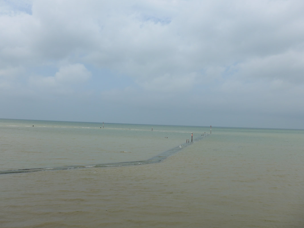
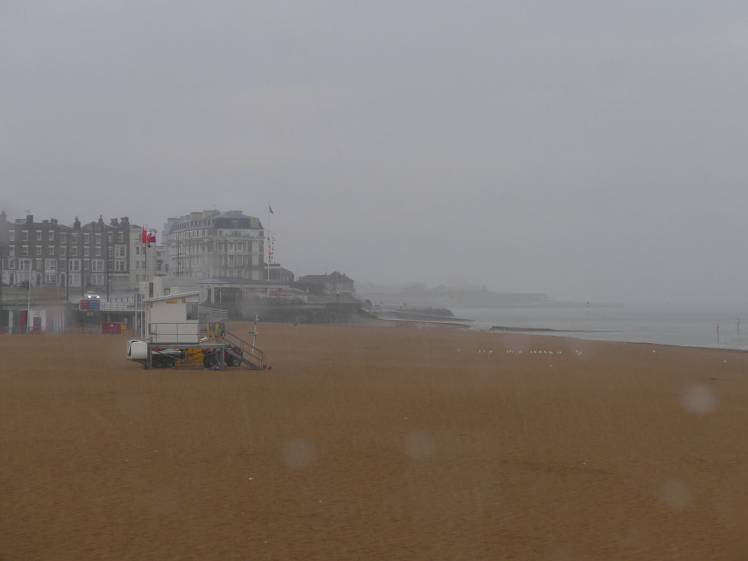 Margate Beach
 Arriving in Margate in good time, the first stop was a greasy spoon cafe for a late breakfast / early lunch, before heading down to the beach to start the serious walking. Once we hit the beach at the area called The Bay, we were cavorting around the sands like little puppies let off the leash and had only made about two hundred yards of progress before the heavens opened. We ran to take shelter in one of the wee cafes on the beach where we sat for about an hour and watched a magnificent thunder storm unfold. Of course, you cannot sit in a cafe and not partake of the refreshments, so a wee cake and a cup of coffee helped pass the time. Start as you mean to go on!
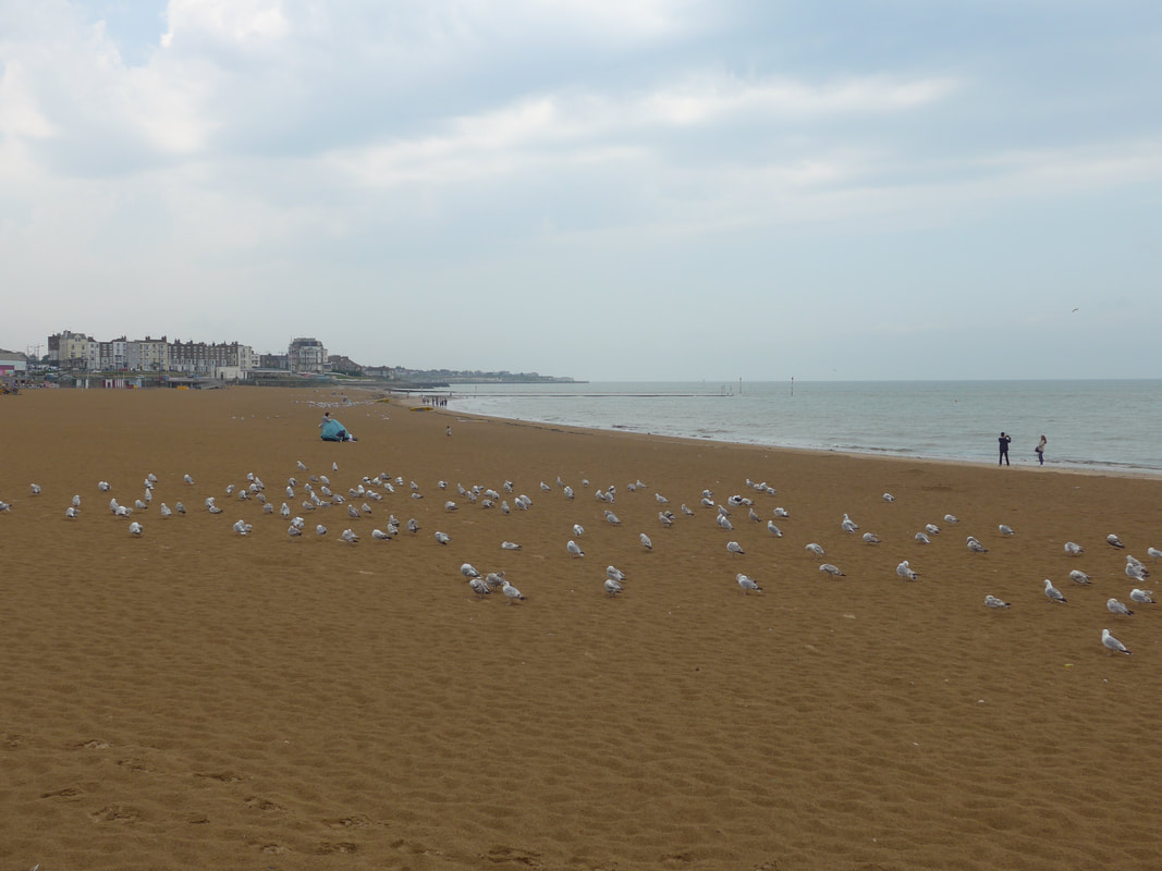
Margate Beach
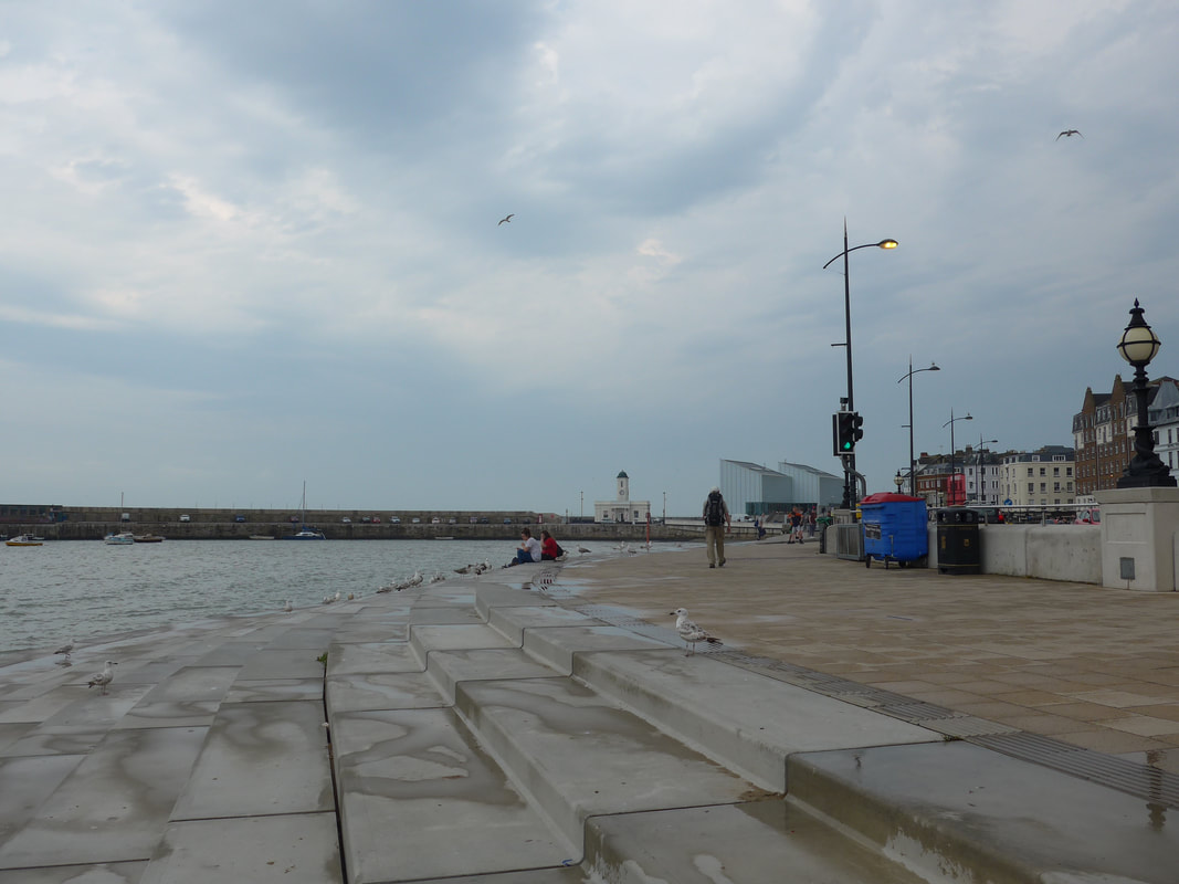 Harbour with Turner in background
 When the rain eased off we decided to take the chance that it was going to stop and set off along the promenade. We passed the harbour and the Lifeboat Station on our left, with the harbour surprisingly busy in the light rain. Before long the rain stopped altogether and it began to warm up. Half way along the promenade, I remembered to turn on the Garmin recording device, which serves to remind us exactly what route we take on any particular day.
Passing the harbour, we could see the gable end of the Turner Contemporary Gallery in the distance, situated on the site of the B&B where J. M. W. Turner used to stay when he visited the town. Designed by Sir David Chipperfield and opened in 2011, the gallery provides a varied programme of exhibitions and events. As usual, we did not have the time to visit on this occasion and it goes on to the long list of activities we want to come back to.
Passing the harbour, we could see the gable end of the Turner Contemporary Gallery in the distance, situated on the site of the B&B where J. M. W. Turner used to stay when he visited the town. Designed by Sir David Chipperfield and opened in 2011, the gallery provides a varied programme of exhibitions and events. As usual, we did not have the time to visit on this occasion and it goes on to the long list of activities we want to come back to.
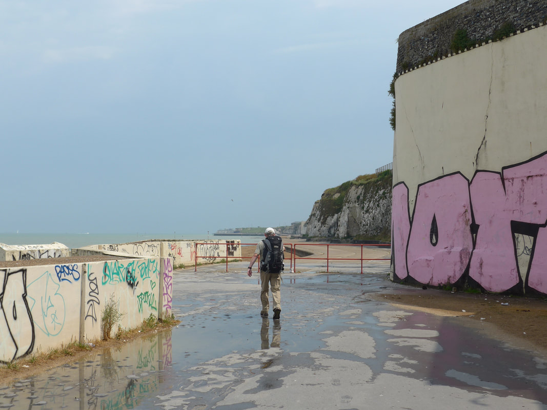 Graffiti
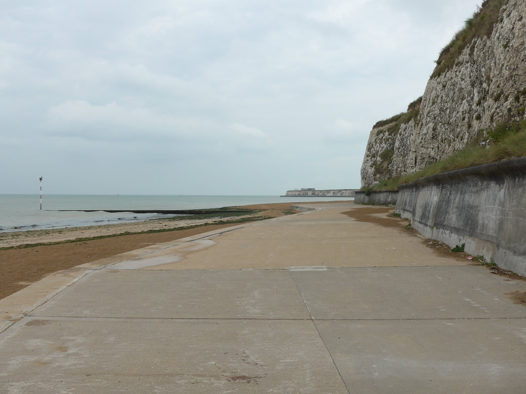
 Leaving the harbour behind, we passed in front of the gallery to take up position on the lower promenade, side-by-side with the beach and which runs for some distance below the cliffs and round the headland. Where it has been reinforced with concrete and on many places on the seawall, it has been badly vandalised by graffiti which detracts from what is a naturally very beautiful place. At the beginning the path is very obvious and clear, at others, particularly in the later sections, it has disappeared under the wind-blown sand and you would think you were just walking on the beach.
In the early stages the path is passing immediately below the chalk cliffs and they tower above you on the right-hand side. In this early part of the walk it was an incoming tide that was close to full as we set off after the rain storm. With the sea almost right up to the promenade it was not possible to walk close to the water's edge which is where you would usually find us, so we stuck to walking the concrete promenade. The cliffs here are a wonder as they stand sentinel against the sea. They run from Birchington just before Margate, round the Foreness headland through North Foreland, Broadstairs and on to Ramsgate and Pegwell Bay where they finish, appropriately enough, at Cliffend.
 Lido Tidal Pool
 Passed Lido Sands and on to Walpole Bay, where we stopped to admire the outlines of the tidal pool which was lying under the water of the full tide. Tempting as it was, even on a stormy day. we resisted the temptation of a swim.
We were walking on a route called the Thanet Way or the Thanet Coastal Path. At around twenty miles, it goes from Reculver in the east to the beautiful Pegwell Bay in the west, following the longest stretch of chalk cliffs in Britain and passing through Birchington, Westgate on Sea, Margate and Ramsgate, before going on to Pegwell Bay itself. The route is, in places, also part of the longer, long-distance walking path the Viking Way, which runs from the Humber Bridge in North Lincolnshire to Oakham in Rutland, a distance of one hundred and forty-seven miles.
We were walking on a route called the Thanet Way or the Thanet Coastal Path. At around twenty miles, it goes from Reculver in the east to the beautiful Pegwell Bay in the west, following the longest stretch of chalk cliffs in Britain and passing through Birchington, Westgate on Sea, Margate and Ramsgate, before going on to Pegwell Bay itself. The route is, in places, also part of the longer, long-distance walking path the Viking Way, which runs from the Humber Bridge in North Lincolnshire to Oakham in Rutland, a distance of one hundred and forty-seven miles.
 Looking to North Foreland
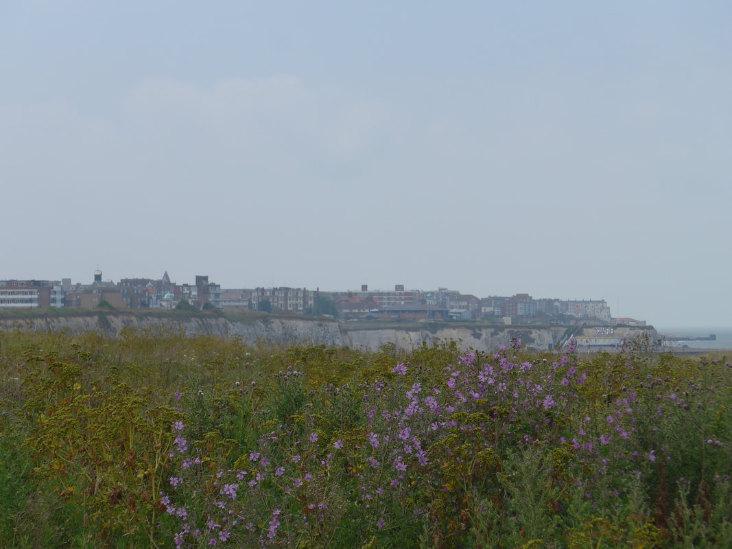
 From the bathing pool, past Palm Bay, we stayed low on the promenade forsaking the clifftop views to be close to the tumbling sea. When we reached the waste treatment plant at Foreness Point where we could not get round because of the tide, we moved up on to the cliff where we had great views along the line of the coast and enjoyed the profusion of wild flowers.
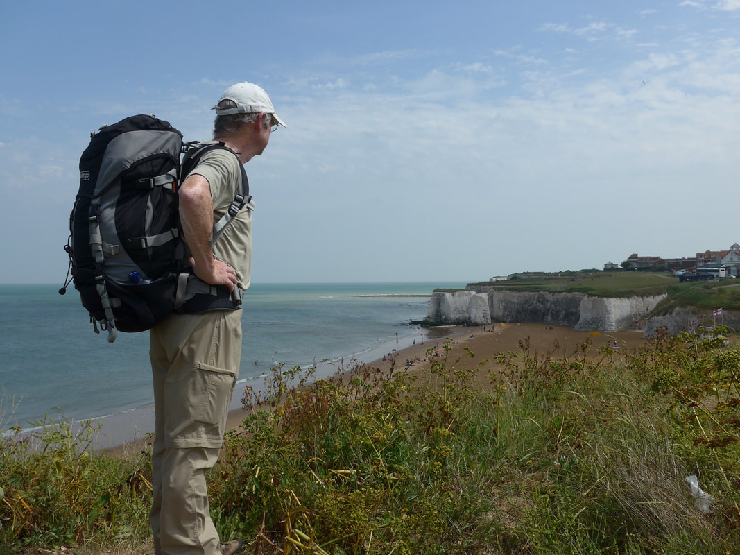
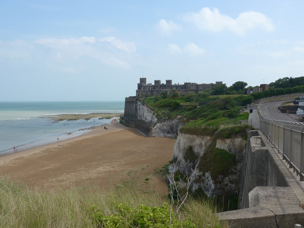
From our clifftop view, we could look down on the popular sandy beach at Botany Bay and its trademark white cliffs. If you look carefully at the photograph below (the first of the group of three), you will see two of the very large chalk stacks that are in this stretch of beach. Below where I am standing there is, apparently, a very nice arch, which we missed because we did not look back as we progressed round the bay. The shape of the cliffs, which surround the bay serves to reflect the sound of the sea back over the top of the sands, highlighting the sound of the breaking waves. With its own lifeguard station, it is a popular area for families. There is good access to the beach down an admittedly rickety set of stairs and the cliffs offer some protection from any wind there may be.
From our clifftop view, we could look down on the popular sandy beach at Botany Bay and its trademark white cliffs. If you look carefully at the photograph below (the first of the group of three), you will see two of the very large chalk stacks that are in this stretch of beach. Below where I am standing there is, apparently, a very nice arch, which we missed because we did not look back as we progressed round the bay. The shape of the cliffs, which surround the bay serves to reflect the sound of the sea back over the top of the sands, highlighting the sound of the breaking waves. With its own lifeguard station, it is a popular area for families. There is good access to the beach down an admittedly rickety set of stairs and the cliffs offer some protection from any wind there may be.
Over Wild Flowers to Margate
We continued east to Whiteness where we turned south, just by the ruin of Neptune's Tower, a local folly now reduced to a stump of its original grandeur. Nearby, on the rocky outcrop overlooking Kingsgate Bay is located Kingsgate Castle. Originally built as the stables for the 1st Lord Holland, whose main residence was nearby, the building has been redeveloped and now houses some thirty-one flats. There is no right of way on the beach below and round the castle so we maintained our position on the high ground as we followed the main road round before returning to the clifftop just above North Foreland.
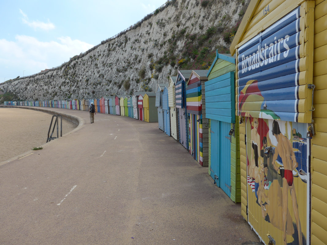
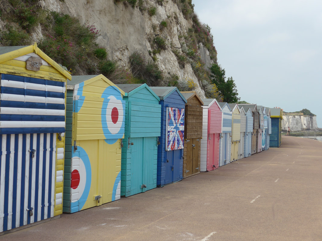
 Beach at Broadstairs
 Shortly after North Foreland the formal route turns back to the road just below Hunton House but we tried to steal a flanker and stayed on a faint footpath going along the clifftop, thinking we could stay there until we could access the beach again. Like most of our plans it was only partially successful and after about a kilometre we were faced with a large fence and could make no further progress.
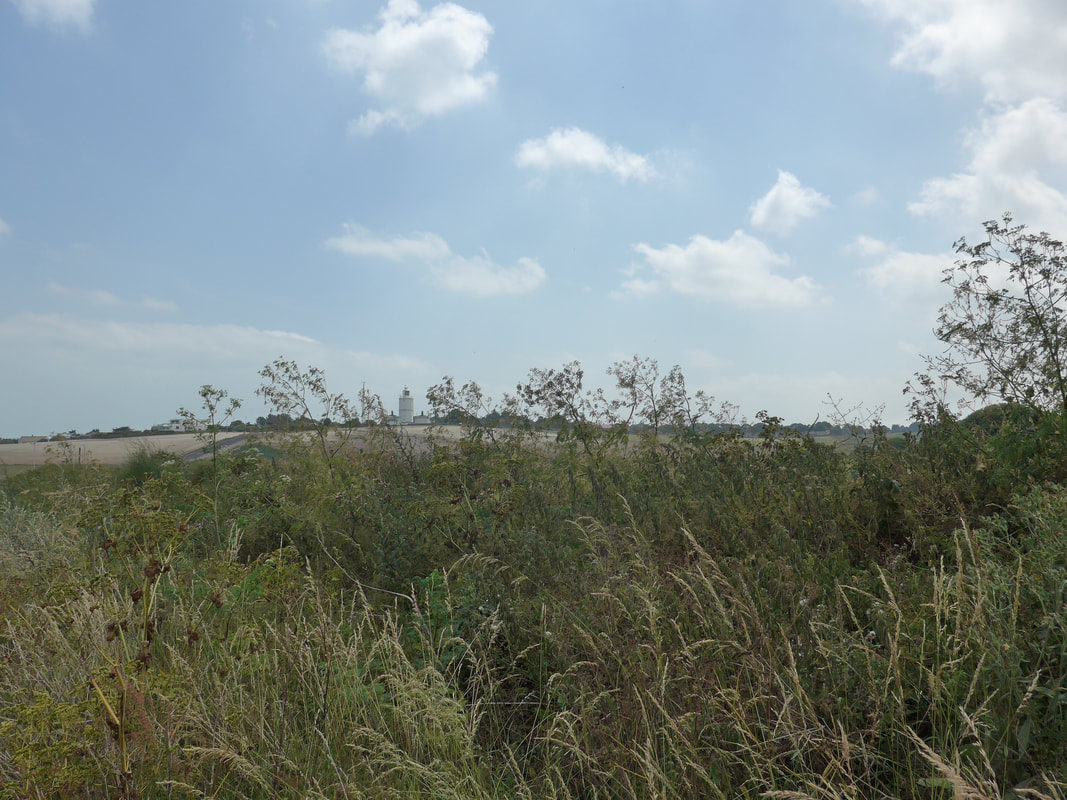
Along the way we could look across the arable land to the white North Foreland Lighthouse. The current structure was built in 1691, but there has been a light on the promontory since at least 1499, with the first proper lighthouse not built until 1636. The height of the tower is twenty-six metres.
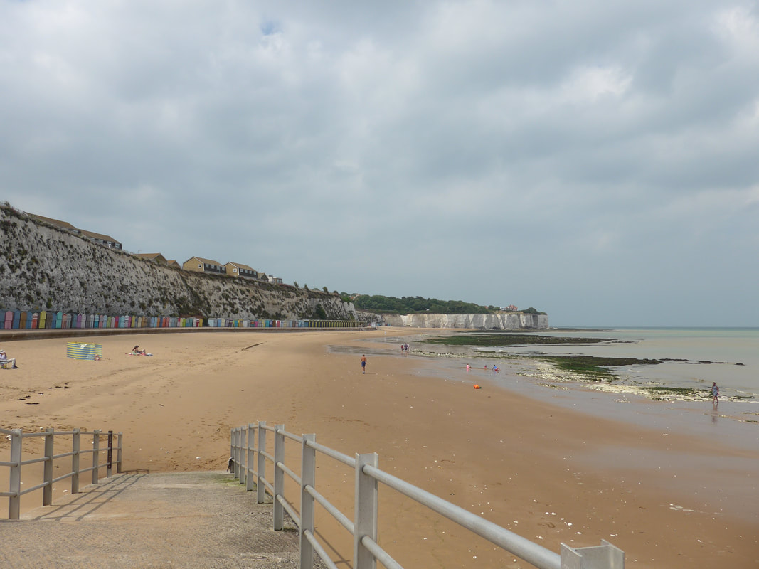
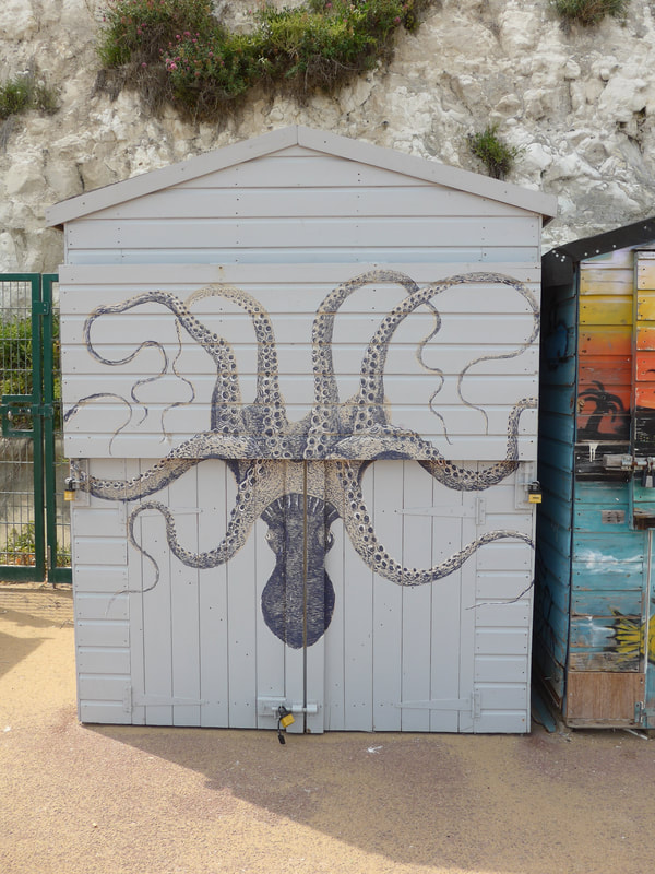
Making our way back inland to take up the road, we had to make three-sides of a square of about an American 'block', before we could drop back down to the beach at the northern-end of Broadstairs. For much of the length of Broadstairs until we reached Viking Bay, we walked along a concrete promenade adjacent to the beach. For much of its distance it was lined on the cliff side by colourful and inventively decorated beach huts which we often stopped to admire. The parish here is Broadstairs and St Peter's and historically, St Peter's was the larger of the two and thought to have been established around 1080. In the 14thC History has it there was a shrine to Our Lady (come to be called Our Lady of Bradstowe) on the nearby cliffs and a fishing village grew up around the shrine, later to be called Broadstairs.
Along the way we could look across the arable land to the white North Foreland Lighthouse. The current structure was built in 1691, but there has been a light on the promontory since at least 1499, with the first proper lighthouse not built until 1636. The height of the tower is twenty-six metres.
Making our way back inland to take up the road, we had to make three-sides of a square of about an American 'block', before we could drop back down to the beach at the northern-end of Broadstairs. For much of the length of Broadstairs until we reached Viking Bay, we walked along a concrete promenade adjacent to the beach. For much of its distance it was lined on the cliff side by colourful and inventively decorated beach huts which we often stopped to admire. The parish here is Broadstairs and St Peter's and historically, St Peter's was the larger of the two and thought to have been established around 1080. In the 14thC History has it there was a shrine to Our Lady (come to be called Our Lady of Bradstowe) on the nearby cliffs and a fishing village grew up around the shrine, later to be called Broadstairs.
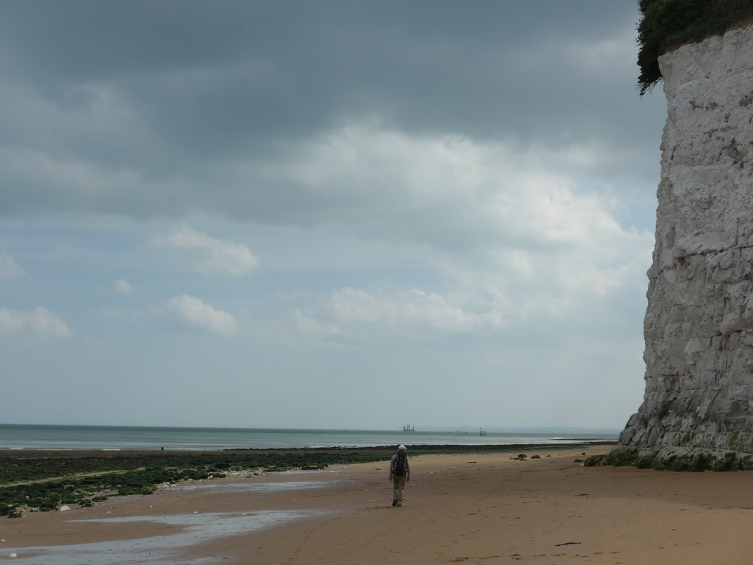 Approaching Ramsgate
 With the tide newly receding, we were able to finally get back to walking on the beach by the side of the turning waves. There is nothing more soothing than the sounds of the sea and the walking can be good as long as the sand is damp and firm! Soft sand can be a nightmare to walk on.
There are some lovely beaches here, that further back from the tideline are filled with soft golden sands that on the day we walked were being well used. As we walked by the water, just beneath the cliffs, more storm clouds gathered directly above us but just over the water the sun continued to break through and created some really beautiful light effects both on and over the water. Lovely aquamarine, blues and steely greys caught the eye. The cause of some of the colour effects is the slabs of chalk that lie under the waves. As well as forming the cliffs here, the chalks continue to run out underneath the sea and the play of light on them in the shallower waters helps to produce the many differeng shades in the water. Newly uncovered seaweed sparkled and glistened on the chunks of chalk lying on the beach, a contrast in colours and texture. The tangy salt air and the aroma of the seaweed, caught lightly and not unpleasantly at the back of the throat. It reminded Jo and I of the flat slabs of seaweed we used to buy in Inverness and used to make our salty, vegetarian lasagne.
There are some lovely beaches here, that further back from the tideline are filled with soft golden sands that on the day we walked were being well used. As we walked by the water, just beneath the cliffs, more storm clouds gathered directly above us but just over the water the sun continued to break through and created some really beautiful light effects both on and over the water. Lovely aquamarine, blues and steely greys caught the eye. The cause of some of the colour effects is the slabs of chalk that lie under the waves. As well as forming the cliffs here, the chalks continue to run out underneath the sea and the play of light on them in the shallower waters helps to produce the many differeng shades in the water. Newly uncovered seaweed sparkled and glistened on the chunks of chalk lying on the beach, a contrast in colours and texture. The tangy salt air and the aroma of the seaweed, caught lightly and not unpleasantly at the back of the throat. It reminded Jo and I of the flat slabs of seaweed we used to buy in Inverness and used to make our salty, vegetarian lasagne.
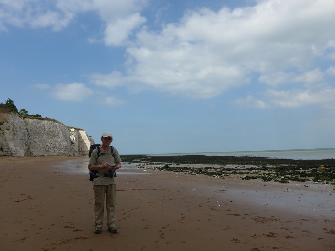 Where are we?
 One of the drawbacks of walking on a beach below high cliffs is that it can be difficult to be specific about where you are in the seascape. As we approached Ramsgate. it was necessary to get out the mobile phone to check on the map where we were on the beach in relation to where our accommodation was on the clifftop.
Ramsgate was established as a farming and fishing community circa 13th C. It is first mentioned in official documents in 1274 - 75 in the Kent Hundreds Role. One of its claims to fame is as the landing point in England for the well-known Hengest and Horsa (circa 446), the legendary brothers said to have led the invasion of the Angles in to what was to become England and have eventually established the Royal House of Kent. Ramsgate is also thought to have been the landing site for St Augustine, sent by Pope Gregory the Great in 597AD.
We eventually decided to leave the beach just after where Memorial Park is located at the top of the cliff, to emerge by Winterstoke Gardens. We made our way along the main esplanade to Victoria Gardens, stopping along the route to admire the views over the rooftops and across Sandwich Bay to Sandwich and Deal in the distance. Crossing Victoria Gardens we had a short walk up Thanet Road to our hotel where we looked forward to the obligatory bath, Italian dinner and bed. Its tough sometimes being a Vagabond!
Sand & Sea
 RSS Feed
