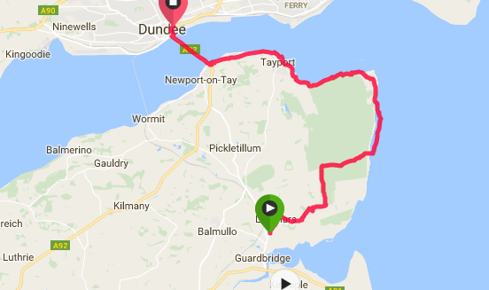
 Early Morning - Eden Estuary
 For once we decided to make things slightly easier for ourselves and agreed to walk anti-clockwise for this section. This meant we could drive and park the car in Dundee, take a local bus to Guardbridge in Fife and walk back to the car.
We opted for a shorter day starting at Guardbridge rather than St Andrews (which would have been about 20 / 21 miles) but in the end we enjoyed the shorter journey as it meant we could take time to meander the length of the magnificent Tentsmuir beach.
We opted for a shorter day starting at Guardbridge rather than St Andrews (which would have been about 20 / 21 miles) but in the end we enjoyed the shorter journey as it meant we could take time to meander the length of the magnificent Tentsmuir beach.
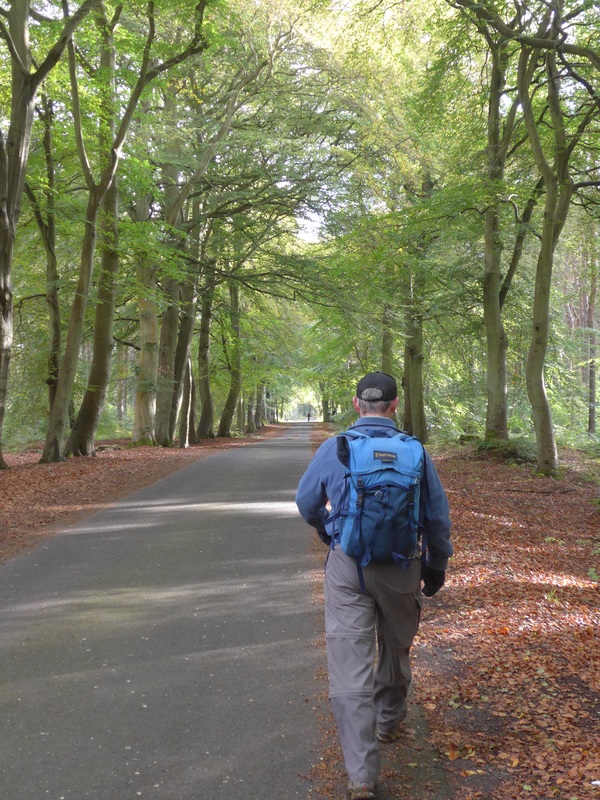
Leaving the bus at 'The Clock' on the old Guardbridge Paper Mill, we followed the Fife Coastal Trail along Main Street before crossing over at a junction on to the right-hand fork of Main Street alongside Leuchars Airfield. At the time we did not realise that following the Fife trail meant we had missed out following the Riven Eden Estuary but we intend to return in the very near future to visit. John Merril's description of the walking as he approached the estuary as "dangerous, soft glutinous mud" (Turn Right at Land’s End’ ) does not recommend it to me.
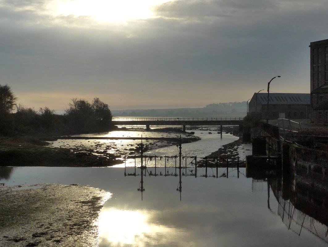
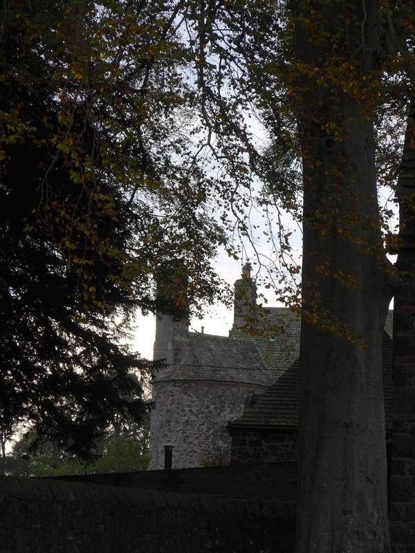
 St Athernase Church (12C)
 Heading up the main street (A919) on the tarmac path we entered the village of Leuchars passing the airfield on our right and St Athernase parish church further down the road. The parish church (12th Century) is a delightful little building and well worth taking a few minutes to look around. The church is situated in the centre of the village and has a prominent position on top of a small hill overlooking the village, which adds to its sense of grandeur and pomp. St Athernase Church was built in 1183-1187 by Robert de Quinci, a Norman who had already built nearby Leuchars Castle. It was dedicated to St Athernase in 1244: thought to be St Ethernesc, an associate of St Columba who spent his later life in Fife (Source: Undiscovered Scotland).
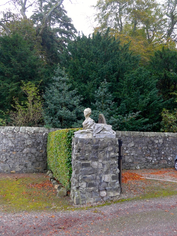
A mile or so on, tantalising glimpses of Earlshall Castle are to be had over the estate wall which lines the Earshall Road. The curious ironwork on the gate just before the gatehouse hints at historical romantic entanglements. On either side of the gatehouse to the castle there is a stone sphinx gate pier, with the Sphinx fully clothed and with the head and body of what looks like a sixteen / seventeen century lady. (See this set of photographs for an appreciation of the beautiful castle).
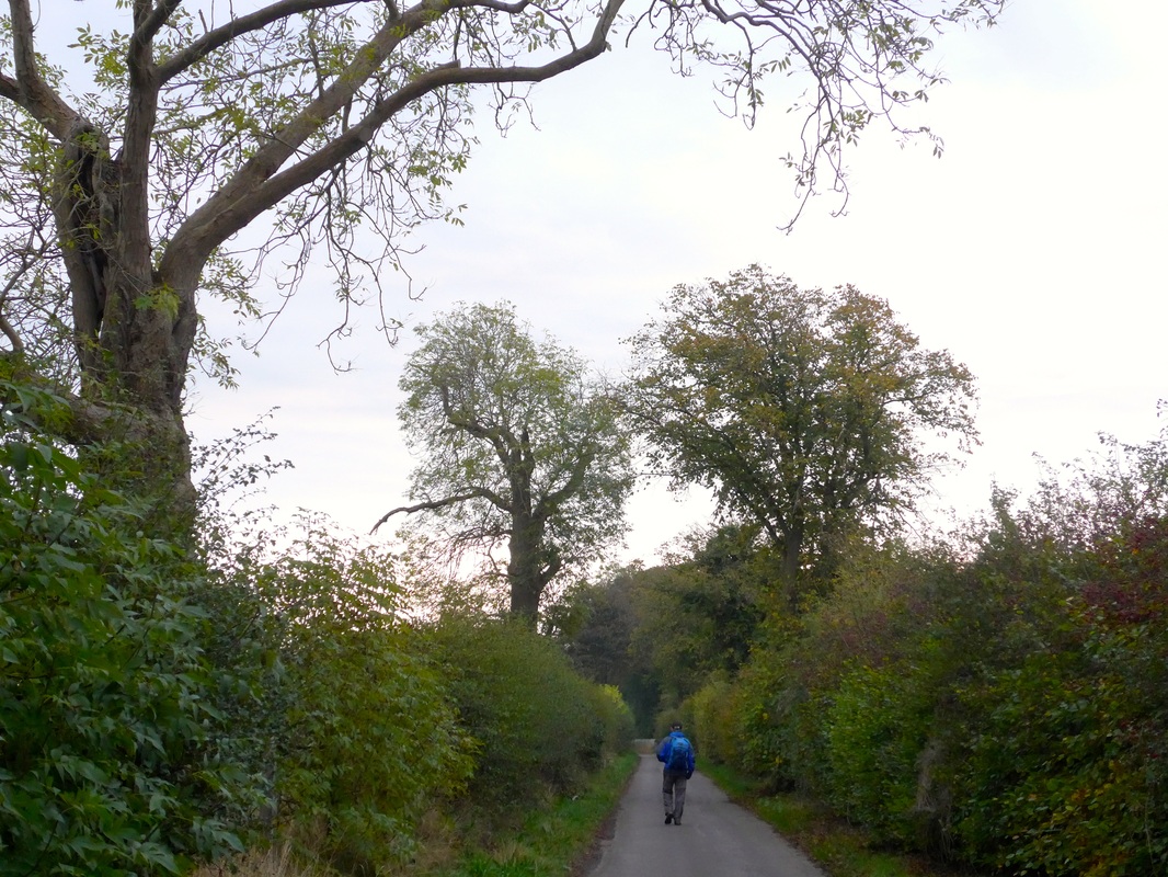 Earlshall Road
 We back tracked a little to go up Wessex Avenue and on to Earlshall Road which is bounded on both sides by a wonderful mixed hedgerow that reminded me of the land boundaries that lined fields when I was a boy. The hedgerow was full of Autumn bounty with big, dark red berries hanging in bunches on the blackthorn.
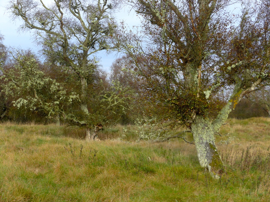 Earlshall Muir
 The surrounding countryside is rural, with few houses or farms as the walk proceeds towards the isolated and damp Earshall Muir. This place has a bleak feel to it but nonetheless is very interesting. At times the walking is on boardwalks as you cross a section of marshland. A mixture of wet and dry land, in places the trees and shrubs are covered in moss which gives a dead and eerie feel to the muir. Local tales abound naming the muir as a place of witches and ghouls and one can imagine that in the 16th and 17th Centuries and earlier, on a dank, misty, rainy night with no light to guide you, it would take nowt but the cry of an owl or the howl of a dog to induce paralysing fear. Today it is a haven for my favourite bird the peewit.
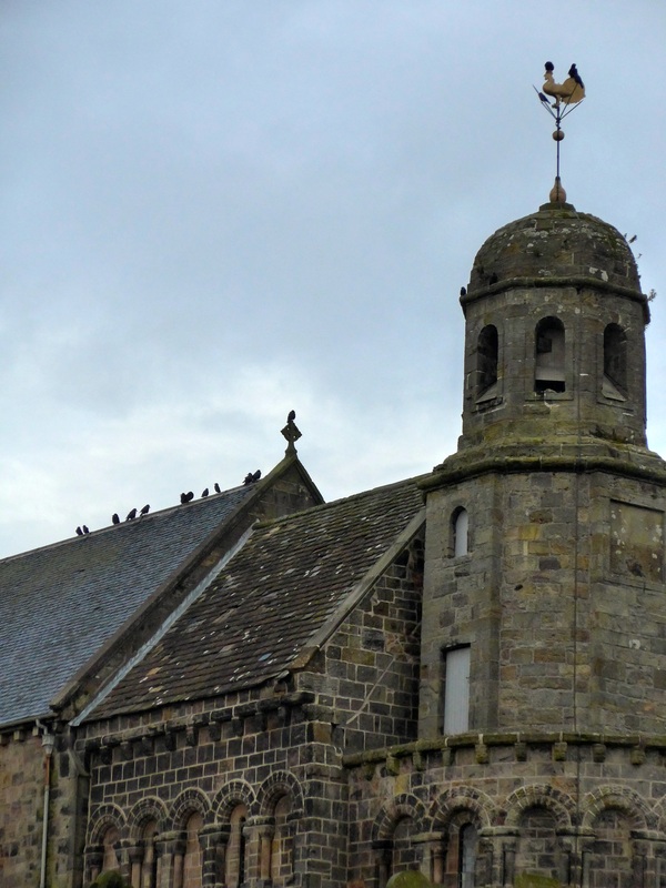
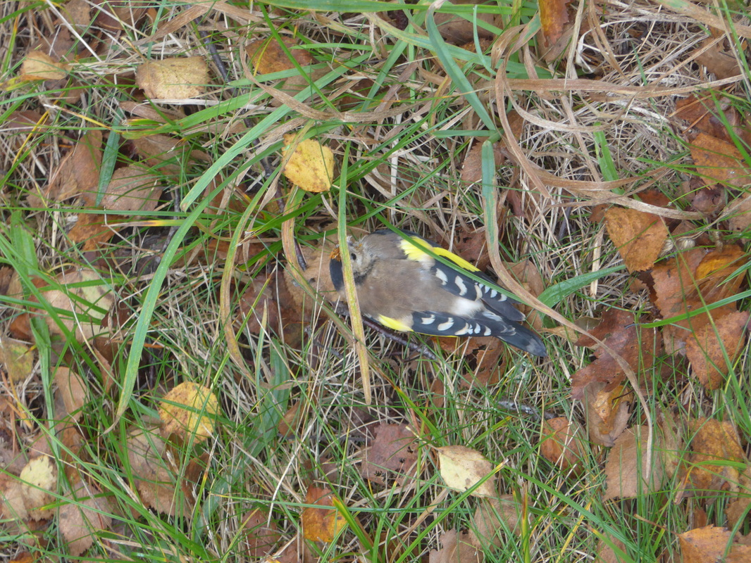 Goldfinch
 Coming off the muir the path leads on to the fringes of Tentsmuir Forest before hitting the main road towards the Tentsmuir car park a couple of miles up the road. Just as we exited to the road a car sped past us and hit and stunned a small, young goldfinch. Thankfully, after resting in my hands for a moment or two, it was able to fly off in to the forest.
 Access Rd to Tentsmuir
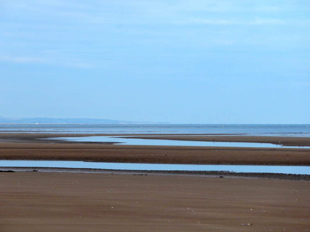
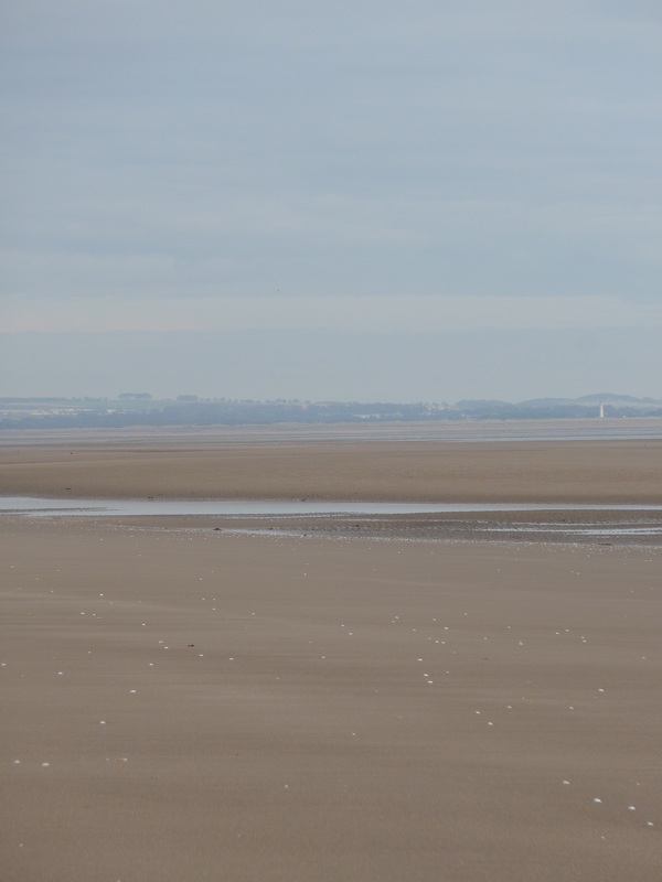
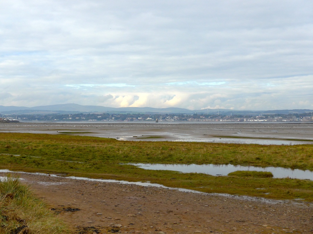
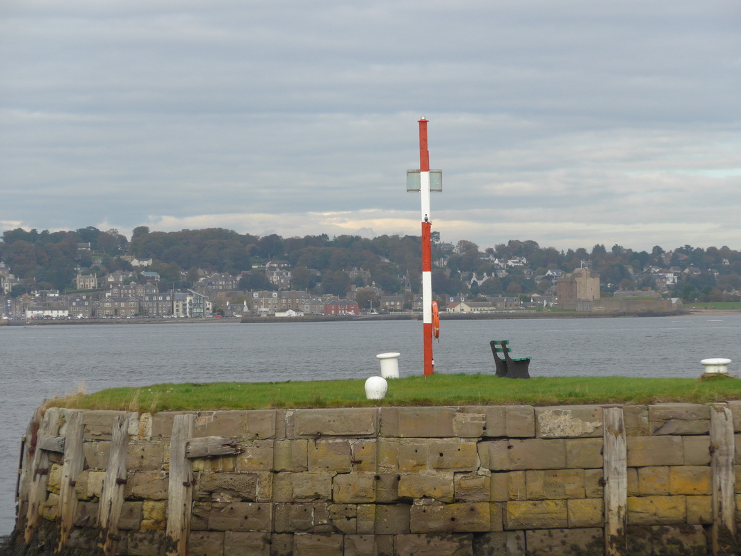
 After a walk of a couple of miles on tarmacadam road, at long last the coast comes back in to view and after walking over the dunes we are back beside the sea. What can you say about Tentsmuir Beach other than you have to be on it to appreciate it. The scale of the beach when the tide is out is massive. Between the beach, the mudflats along the mouth of the River Tay, the sand dunes and the forst habitat it is difficult to know where to keep your attention and spend your time. The place teems with birdlife both on the flats and in the nearby forest. In the distance the sun glinted on the white lighthouse and sand at Barry Buddon on the coast where we had walked a few days ago.
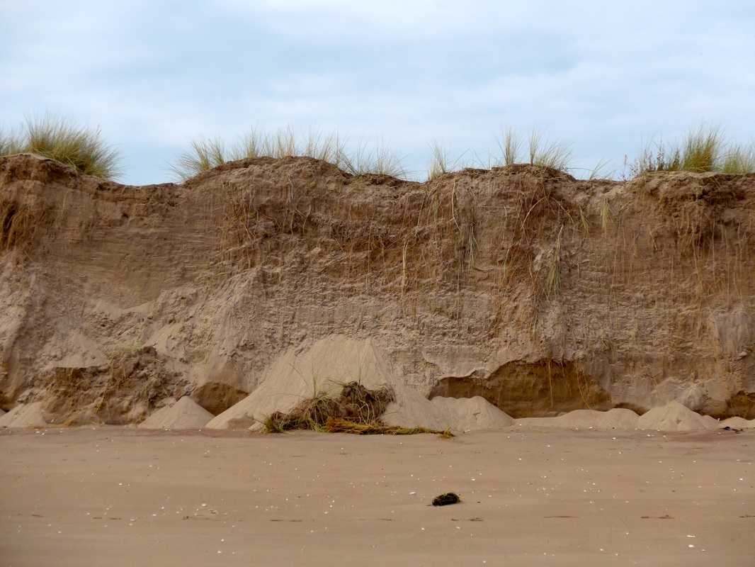
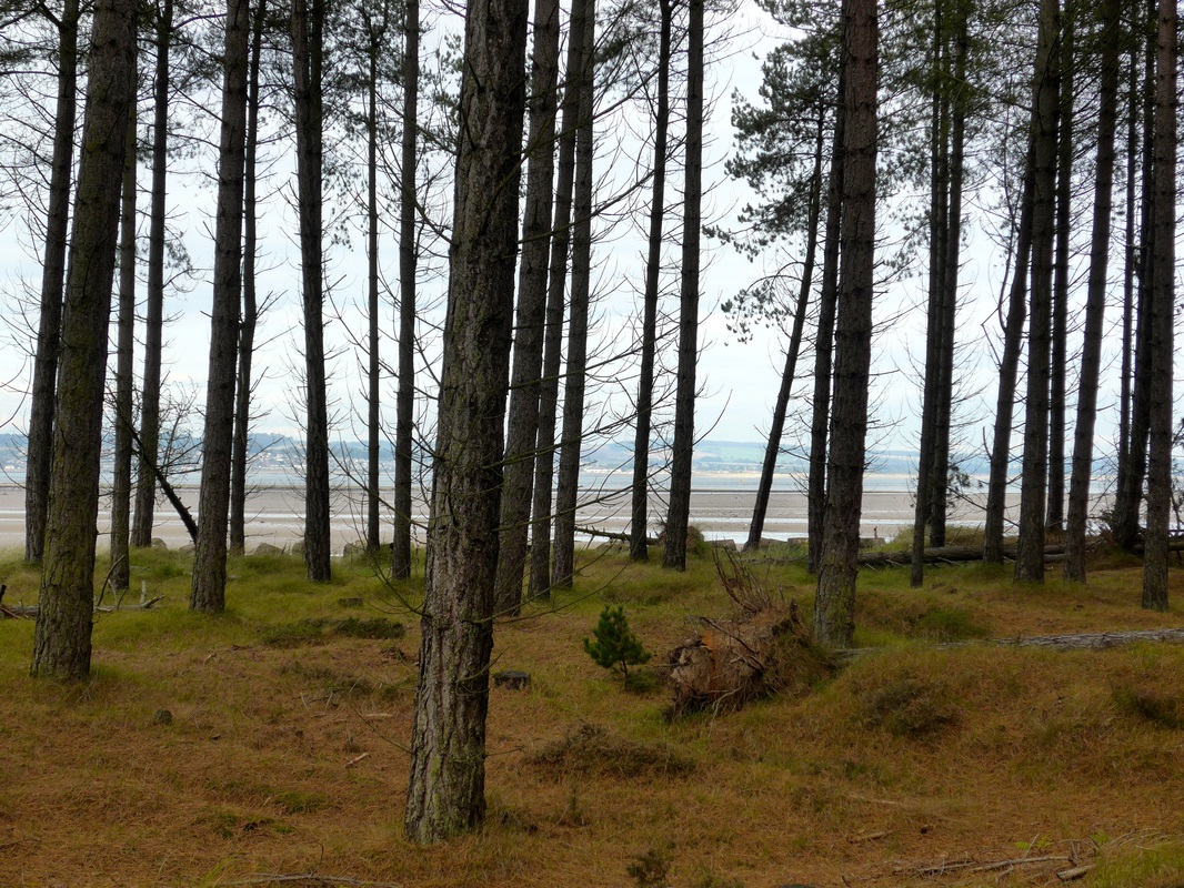
The Fife Coastal Path stays off the beach at Tentsmuir and follows a trail through the forest. We decided to walk the length of the beach which proved a reasonably firm surface to walk on. We were fasciniated by the dunes, particularly where they had opened up and it was possible to see the roots of the marram grass reach down through the sand, presumably in search of water and / or security in the shifting sands.
 Broughty Ferry Castle
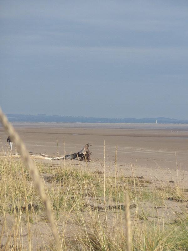
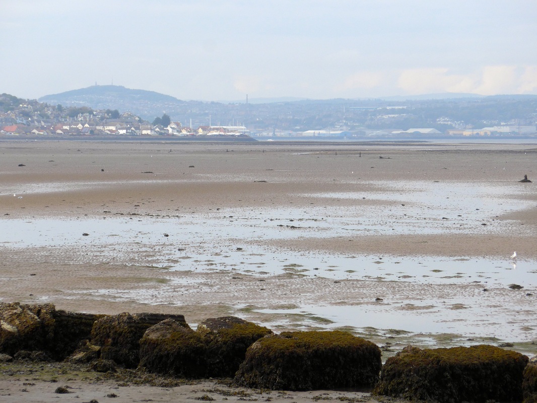
 The beach stretches towards the mouth of the River Tay some distance away, before turning left at Tentsmuir Point. We had walked up the opposite bank of the river for much of the Arbroath to Dundee leg of our last walk. The contrast in the two walks was positively weighted in favour of the Tentsmuir experience. Across the water we could make out Broughty Ferry Castle which we used as a marker to chart our journey back up the river.
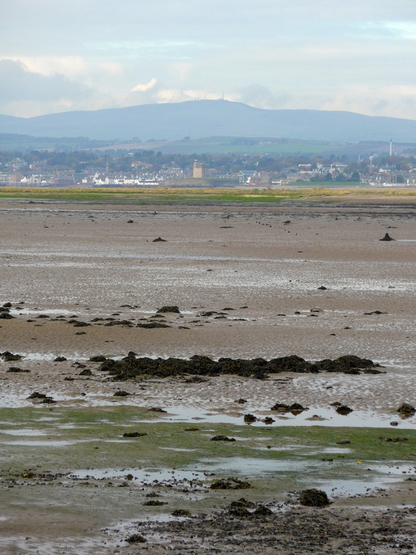
 Across the Tay to Angus
 From Tensmuir Point we stayed by the beach for about another mile before moving in to the forest and following a mountain bike cycle track for a while until we finally exited at Tayport Heath where we stopped for lunch. On the way we passed information boards informing us we were in the 'land of devils, bears and oxen', a reference to the slightly creepy historical reputation of the whole Tentsmuir area which is reputed to have been the site of various bands of brigands over the years.
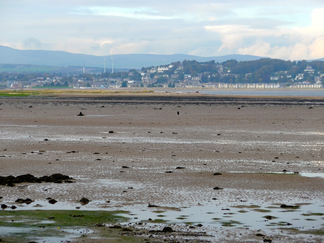
From our lunch table at the heath and later on just after Tayport there were beautiful views of Dundee and the coast of Angus on the other side of the river with the Sidlaw Hills in the background, as well as of Broughty Ferry with the rich merchants houses prominent on the hill. The Law and Balgay Hill were clear and prominent above Dundee. Behind the 'Siddlies', as the hills are known locally, were tantalising glimpses of the Angus Glens, famous for the quality of the hill walking to be had. Monifieth was visible and on up to the eastern end of Dundee with the windmills at the Michelin factory churning out electricity. No sign yet of the Tay Bridge, indicating that we still had some way to go to journey's end.
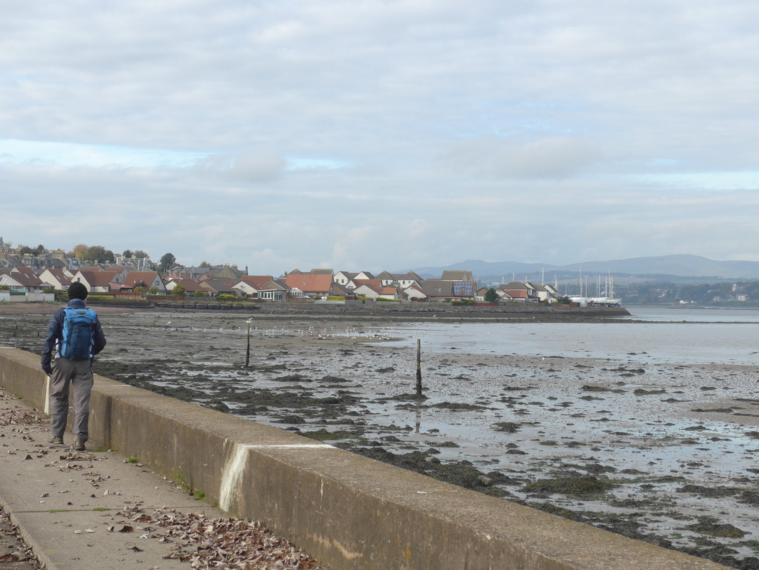
After lunch we walked the short distance to Tayport which is another lovely little Fife town with a dinky wee harbour. Originally known as Ferryport on Craig, before the days of the Tay Road Bridge the ferry ran from here to Broughty Ferry on the opposite bank. The sea views from the town are stunning, ranging from central Dundee out to Barry Buddon shooting range ouside Carnousite in Angus.

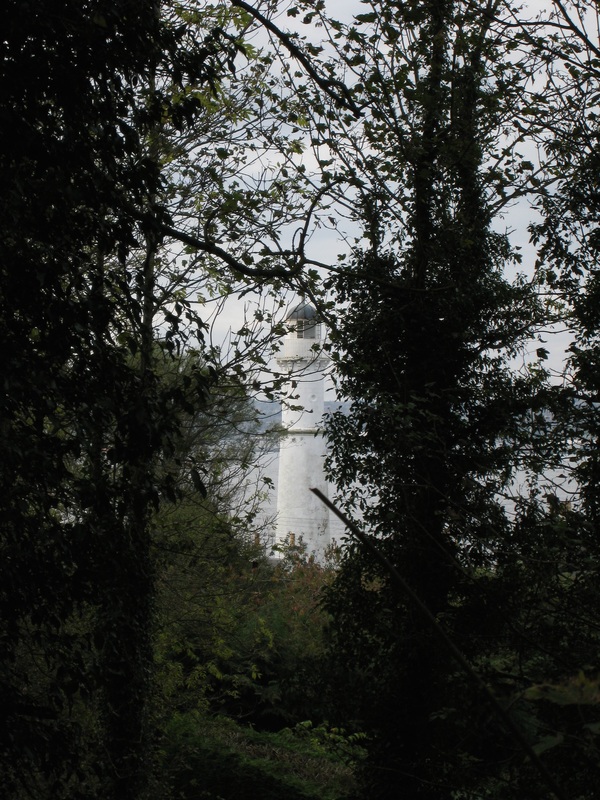 Tayport Lighthouse
 The walking from Tentsmuir Heath onwards is on a mixture of tarmac path and pavement (and metal bridge). Shortly after rounding the corner at Tayport we had our first glimpse of the Tay Road Bridge in the distance, with the railway bridge in the background. On our right we could see the Tayport Lighthouse through the trees. We followed the cycle path up to and under the road bridge.
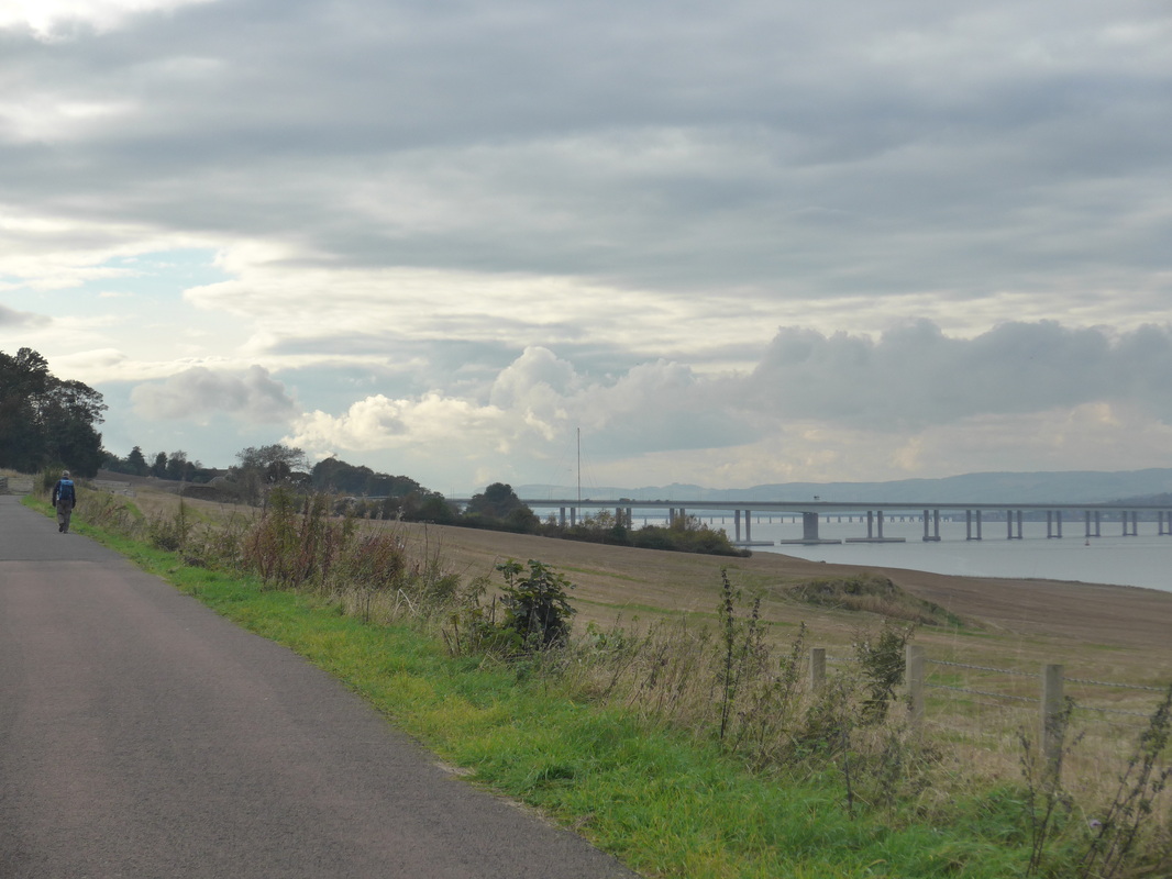 Tay Bridge
 The longest bridge in the UK, pedestrians uniquely cross the bridge in the centre, with traffic passing by on either side. Access to the bridge is by a pedestrian underpass with stairs taking you up to the bridge. Before doing so, however, we could not resist continuing along the road underneath the bridge where there is a visual illusion to be had. If you look through the centre of bridge pillars they seem to disappear in the distance.
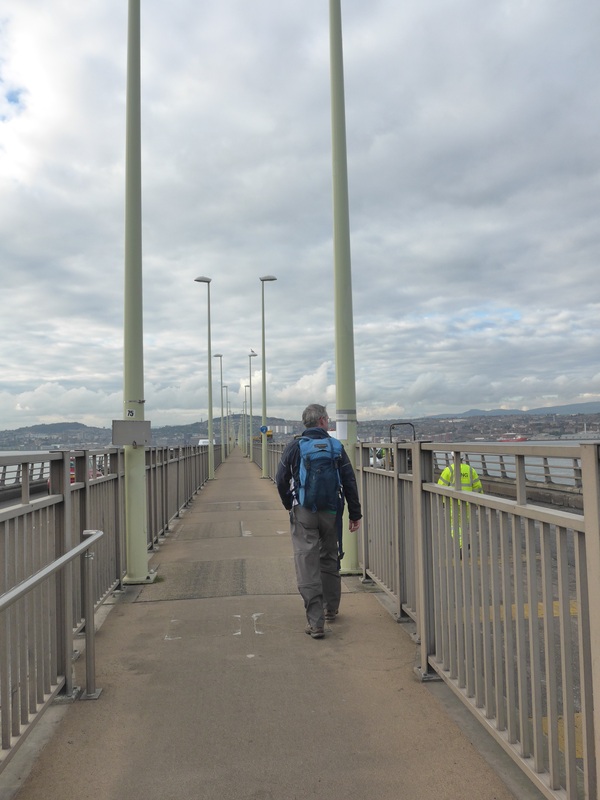 Bridge Walking
 We retraced our steps and found the pedestrian access to the bridge. At almost 1.5 miles you have a long time to appreciate the wonderful views from the bridge; west looking up the river in the direction of Perth and, looking east out to Broughty Ferry, the Angus Coast and finally the endless expanse of the North Sea. It is not walking on the coast, but the views make it a fitting end to a coastal walk full of stunning views and experiences.
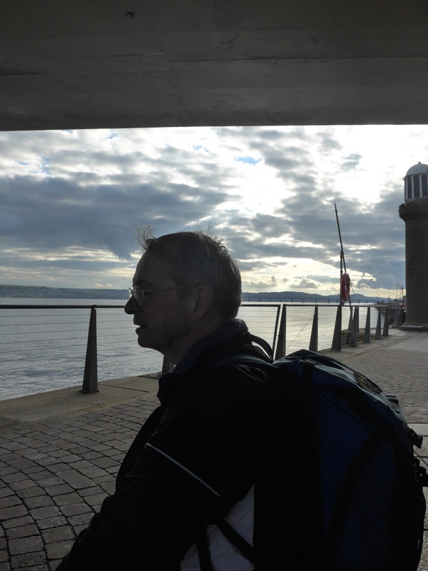 Contemplation
 A wee rest and a moment of quiet contemplation underneath the bridge and then it is onwards and upwards to the next challenge of planning the walk from Guardbridge to Crail.
 RSS Feed
