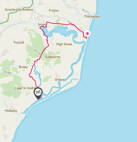
Route Map
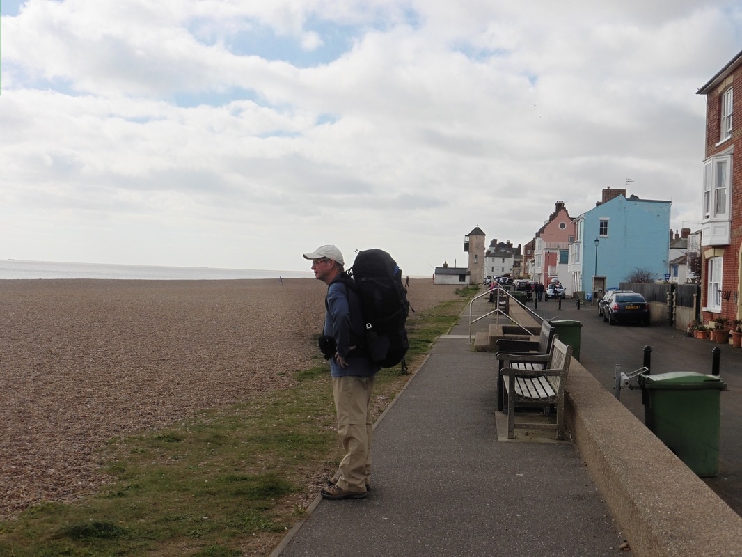 Aldeburgh Seafront
 Our accommodation last night was in Knodishall, a couple of miles from Aldeburgh and we needed to go back to Aldeburgh to pick up the route. The choice was a very early bus about 7.30am or a later one at 10.00am. Let me think about that one?
So, after a continental breakfast that was provided in our room, it was a late start and then the us in to the town for wee look around. Aldeburgh sits on the River Alde, which changes it's name as it approaches Orford just south of Aldeburgh. The river used to discharge at Orford, but over the years a long spit of land (Orford Ness), mainly composed of shingle has developed built up by tidal drift, with the result that the discharge point of the river is now some six miles south of Orford. The spit, ten miles long, is the longest shingle beach in Europe and is now the Orford Ness National Nature Reserve. However, during the Cold War it was a 'secret' military radar base.
So, after a continental breakfast that was provided in our room, it was a late start and then the us in to the town for wee look around. Aldeburgh sits on the River Alde, which changes it's name as it approaches Orford just south of Aldeburgh. The river used to discharge at Orford, but over the years a long spit of land (Orford Ness), mainly composed of shingle has developed built up by tidal drift, with the result that the discharge point of the river is now some six miles south of Orford. The spit, ten miles long, is the longest shingle beach in Europe and is now the Orford Ness National Nature Reserve. However, during the Cold War it was a 'secret' military radar base.
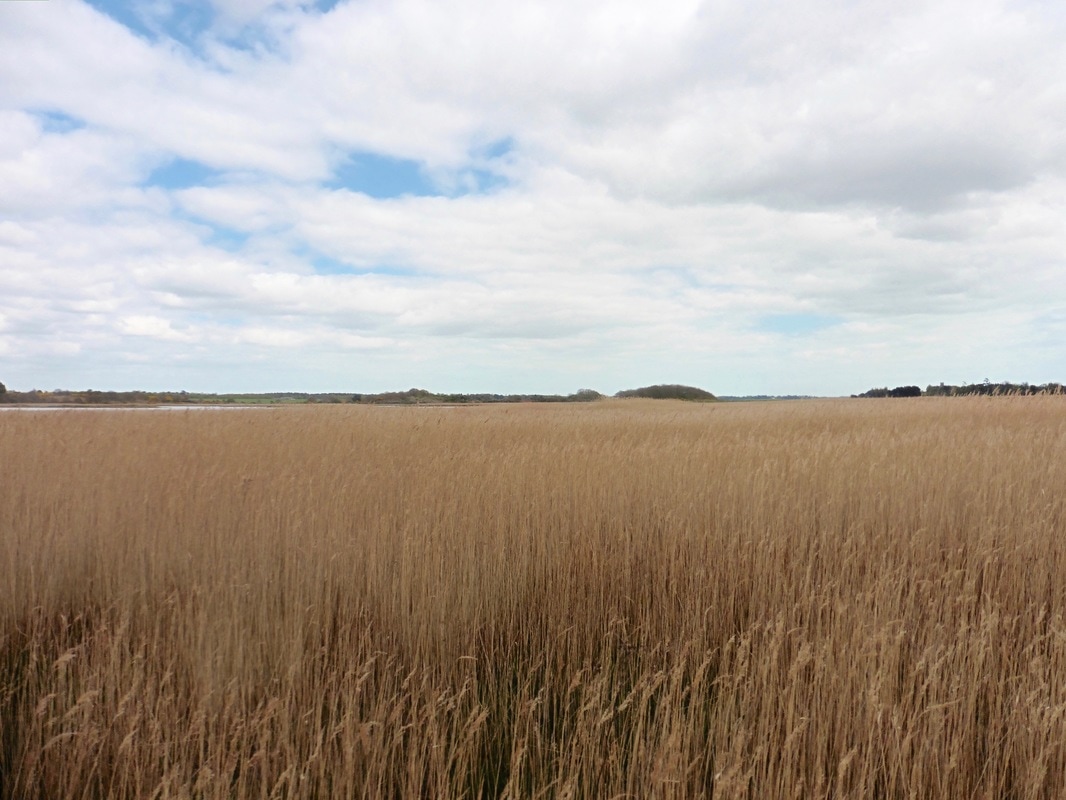
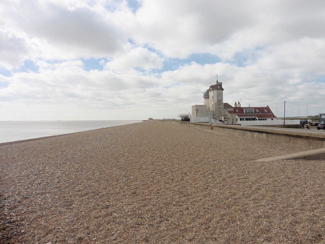 Aldeburgh Long Shingle Beach
 Aldeburgh has a long history going back to Roman and Saxon times and in the Tudor era it had a thriving shipbuilding and fishing communities. Sir Francis Drake's ships the Pelican and the Greyhound were built here. With the silting up of the River Alde the shipbuilding industry declined. Some of the fishing work also disappeared over the years albeit some remains and the town has a reputation for smoked sprats. Freshly caught fish is sold daily on the beach. There is also a marina that brings in the yachting fraternity and the town is famous for its music and arts festivals, established in the town by Benjamin Britten and his partner, Peter Pears in the 1940's.
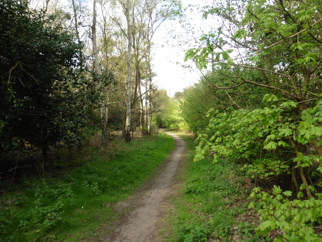 Setting Off
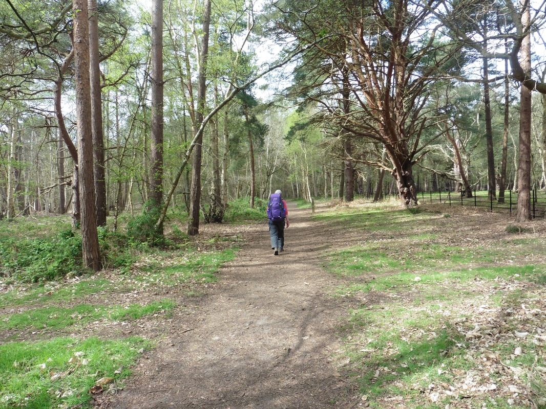
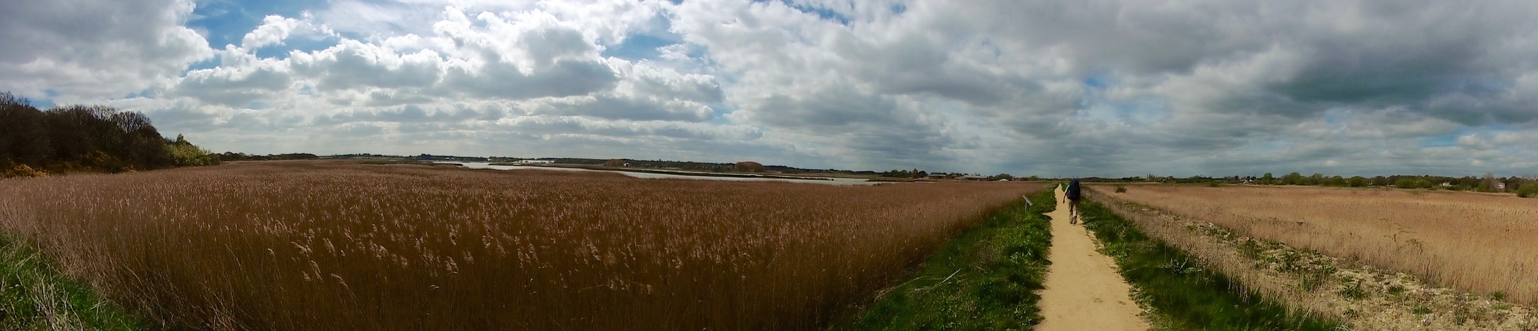
 We started at the bottom of the town, taking a public footpath that swings out around the hospital to the top end of the town, which meant we missed out on a bit of road walking. Where we exited the footpath there is a very handy Tesco Express and a chemist where we stocked up on supplies. We had a short walk on the A1094 before going off to the left on to the cross-country route to Snape. The route is known locally as The Sailor's Path and was used by seafaring folk to access the town of Aldeburgh.
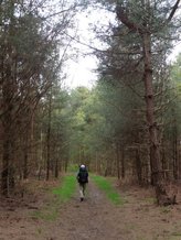
The Sailor's Path crosses over open heathland, forest and arable farmland. It was very pleasant walking in warm Spring sunshine with constantly changing habitats along the way. The river Alde is tidal up to just below Snape and this has created mudflats which contain large numbers of wading birds, as well as kingfisher. Snape Marshes Nature Reserve, operated by Suffolk Wildlife Trust was to our left as we walked and provided a changing landscape with large beds of reed and glistening pools. In the forest, the rays of light breaking through the tree canopy in the thicker areas of the forest were delightful.
Sailor's Path
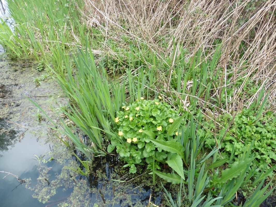
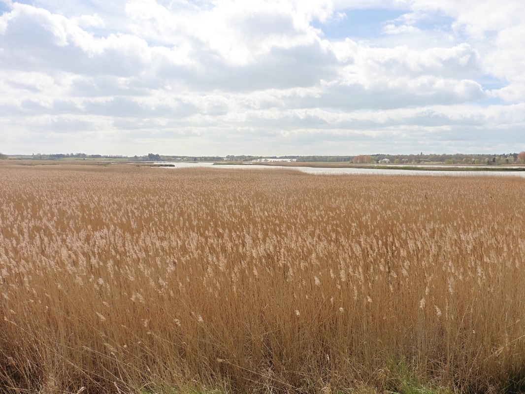
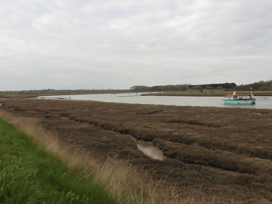
Emerging from the forest on the approaches to Snape Maltings there were again miles of golden reed beds, interspersed with glimmering silver pools, shimmering as a gentle wind tip-toed across the surface. There is a constant battle here between man and sea as to who owns the land. Over the years land was reclaimed for farming purposes and dykes built to exclude the sea. The breached and abandoned dkyes on the landscape and the extensive presence of the water, are an indication of who is winning this fight.
Snape
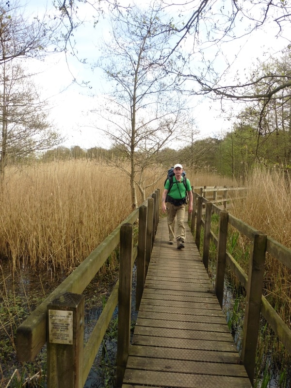
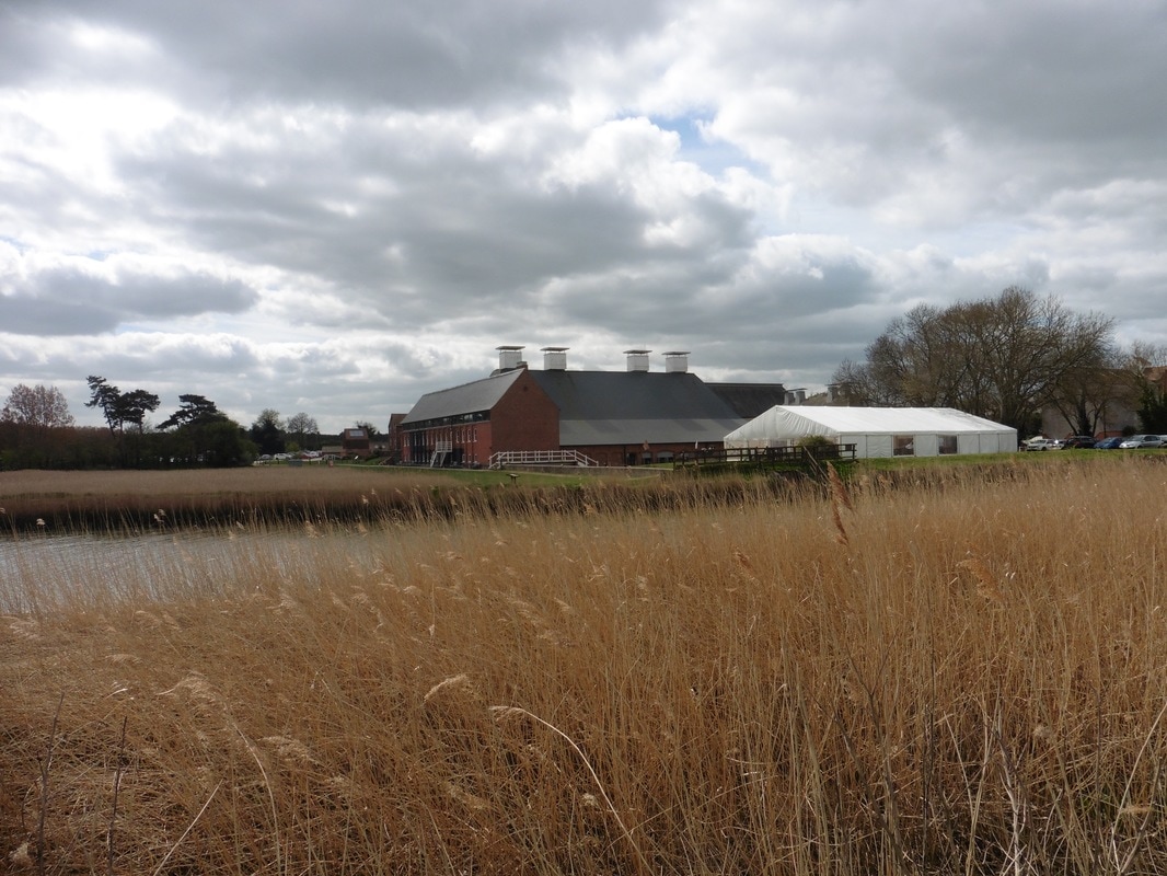 Snape Maltings
 By the time we reached Snape Maltings we had been walking for a couple of hours and decided to stop here for tea and scones. Originally used for the malting of barley for the brewing industry, The Maltings is now home to the concert hall that houses, among other things, the Aldeburgh Music Festival, as well as a range of other businesses and endeavours housed in the complex. Originally built in the mid-19th century, the building was converted in the 1960's, opening in 1967. Other premises in the complex include the Hoffman building housing the Britten Studios, a 340-seat concert hall and the Britten Pears Building housing the Peter Pears Recital Room and the Holst Library. There are numerous other cafe, restaurant and commercial premises on the site.
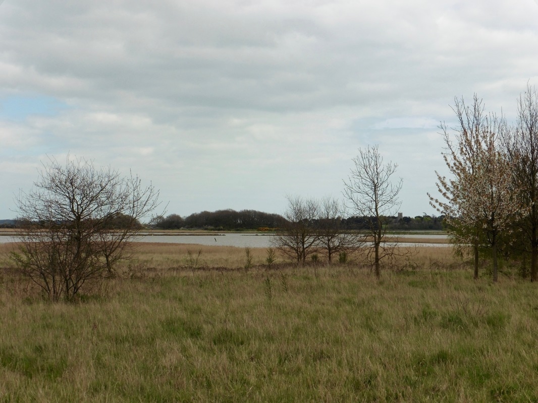
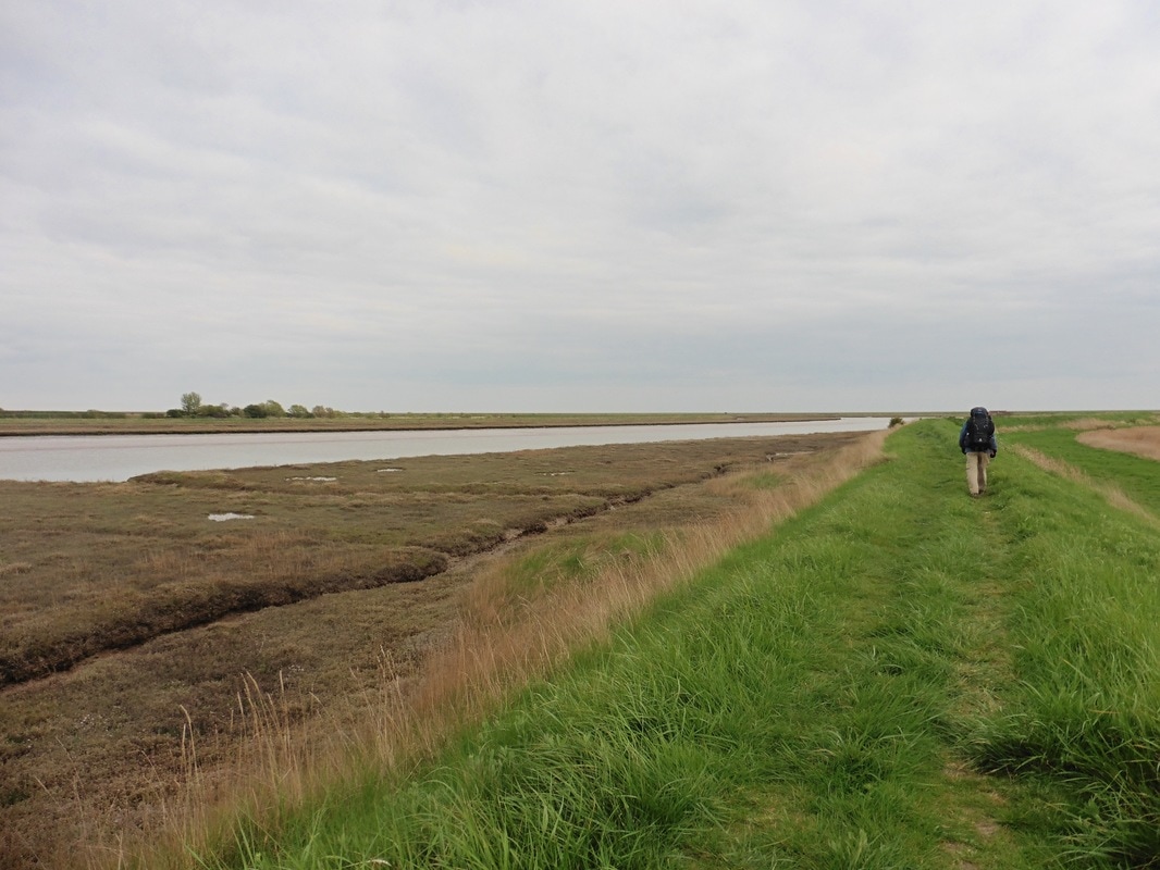
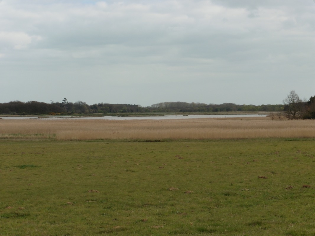 Alde Mudflats
 We left Snape Maltings to walk through open farmland and heath, with acres of reed bed and ponds on our left within the Alde Mudflats Nature Reserve. We made a slight boo boo with the map reading going along the edge of the water, as we missed a turn off and went on too far exiting at Iken, instead of up nearer Cliff. In our defence, there was no footpath sign that we could see to indicate when you should go off the heath. Anyway, backtrack we did, up an unnamed road and got back on the Suffock Coastal Path just opposite Iken Cliff, going through a farmyard to do so.
Open Farmland & Reedbeds
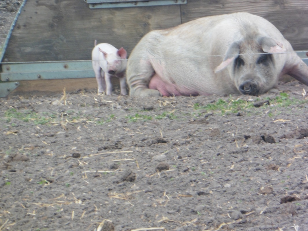
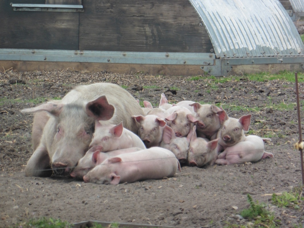
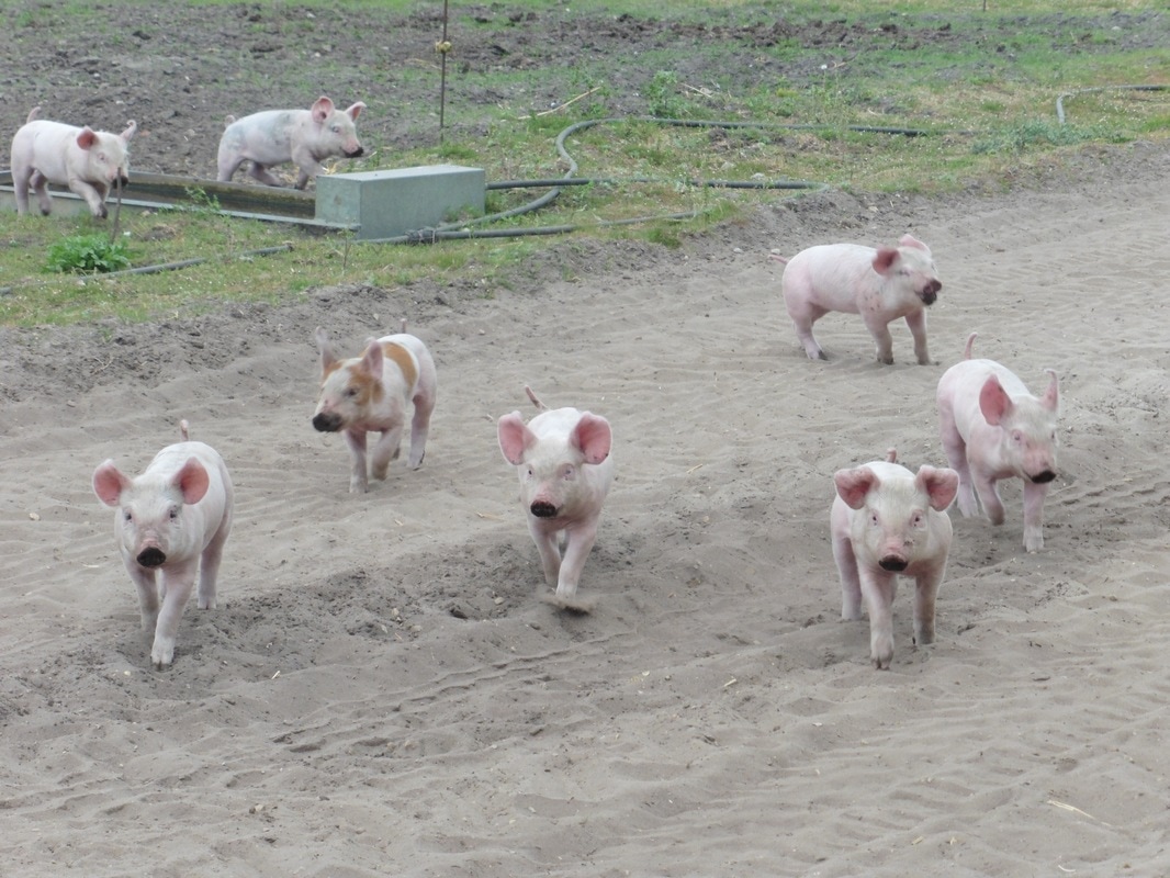
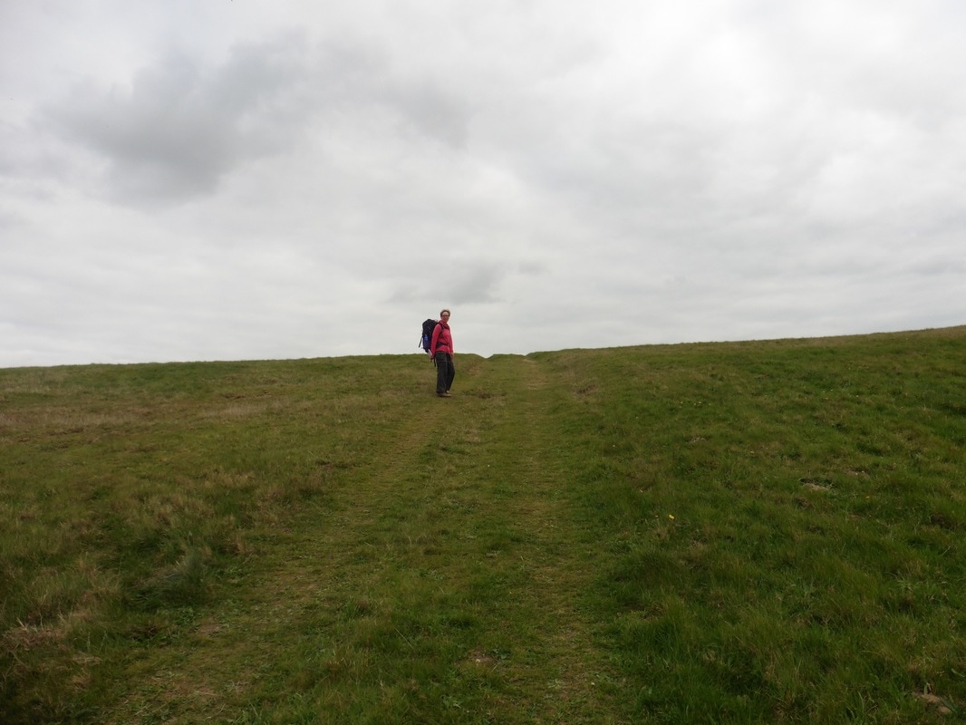
We were shocked to find there was a hill here. After a couple of months of walking on the flat we though someone would have least warned us! We trudged up the hill on the edge of Middle Covert Woods. At the top of the brae we went through an area where they were keeping free-range pigs and there were literally hundreds of them. There was the rudiment of an electric fence which served to keep in the adult porkers, but there were bands of little piglets getting underneath the fence and galloping up and down the path with great glee.
Piggy Wiggies
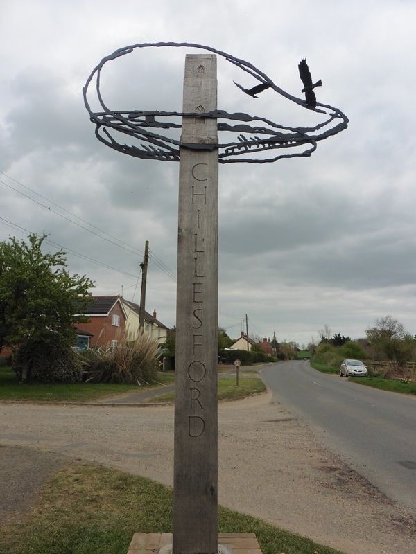
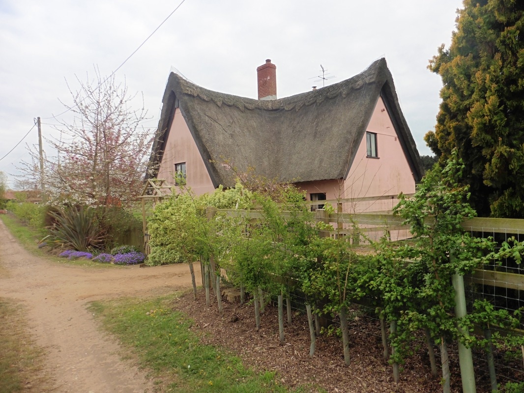
Our route continued through Tunstall Forest to exit on to the B1084 at Chillesford. We took a minute to sit here by the sign in to the village to scope out the next part of our route. Joanna was quite taken by the wrought iron village sign which was next to us. From Chillesford we continued on down a lane, past the old brickworks and heading towards Butley Mills, passing the largest tea cup I think I have ever seen, as well as a lovely, traditional, pink, Suffolk thatched cottage.
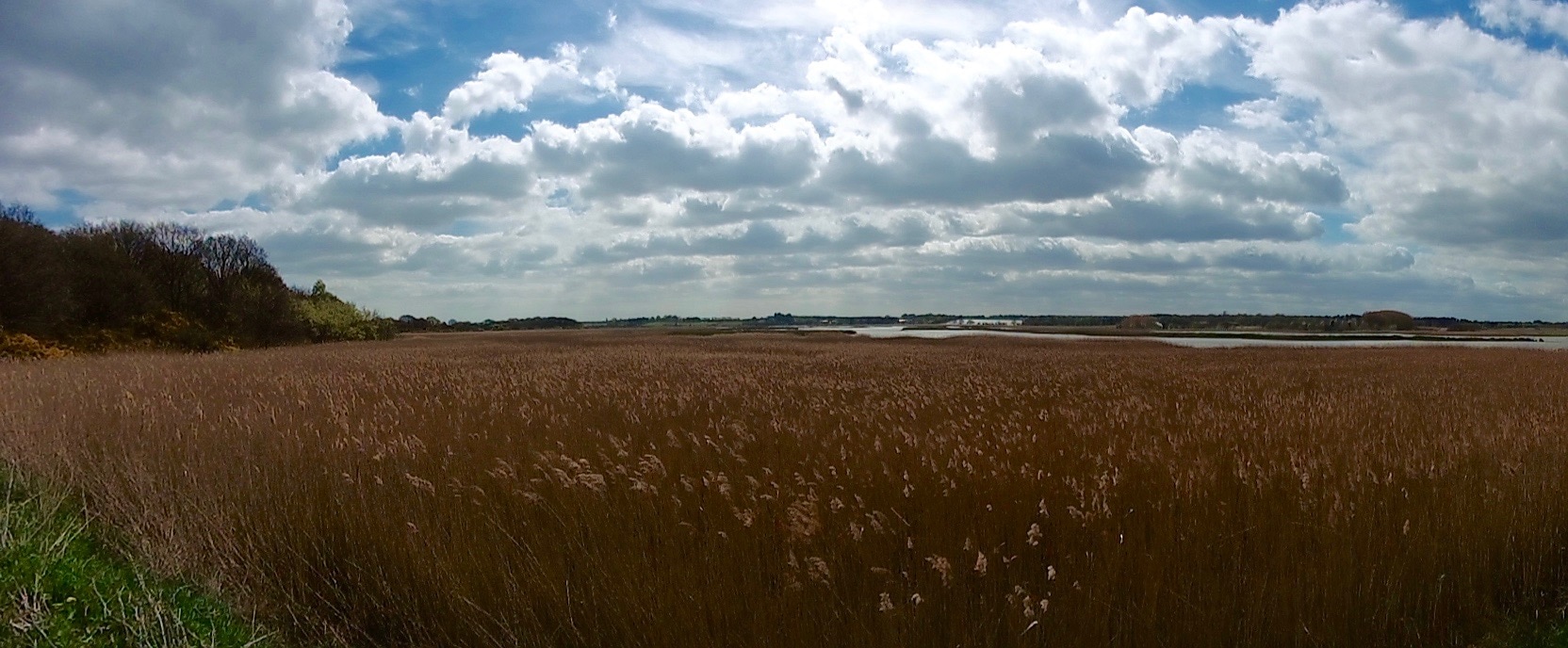
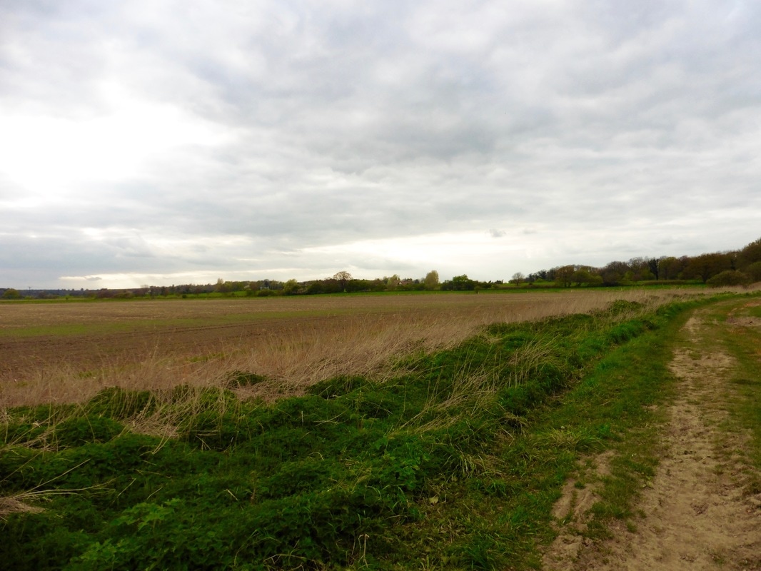
Leaving Butley Mills behind, we were back out in open countryside, mainly arable farmland but still with the occasional reedbed. Just above Butley High Corner we came upon our second hill of the day (this is getting to be a habit) which was a shock to the system. We knew the Butley River was to our left but landscape features prevented us seeing it until we came to the top of the hill. The river forms part of the Alde & Ore Estuary and as such is subject to all the usual conservation protections (SSSI, SAC & SPA). Slightly salty lagoons, reed beds, grazing meadows, saltmarsh and mudflats are to be found along its length. From our vantage point on the hill we could see across to the Boynton Marshes in the distance where we hoped to camp up for the night.
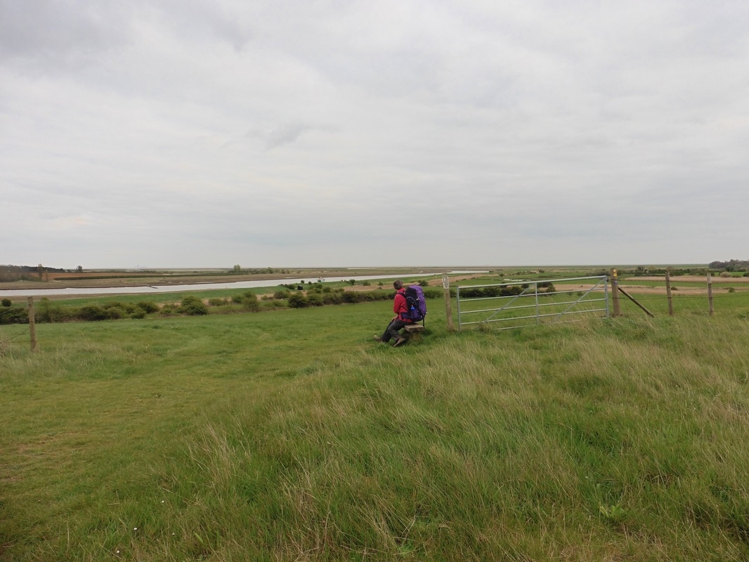
From the hill we dropped down on to the sea wall just at the point where the ferry ran. With the sun now some way on its descent to the western horizon the light effect gave us some very pretty views across the river, saltmarsh and mudflats. We were not too long on the sea wall when we found a nice wee bivvy tucked in to a corner beside a reed bed and just off the seawall, which provided protection from the wind. It did not take us long to set up, cook up and settle back to watch the sun set gently behind the reed beds. We fell asleep to the sough of the wind through the reed bed and the last song trills from the birds as they too settled for the night.
Boynton Marshes
 RSS Feed
