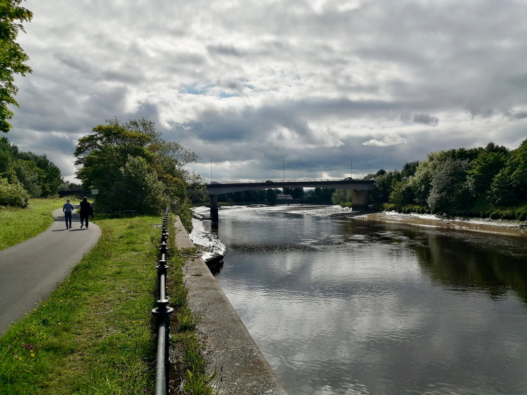
 Penwortham Bridge, River Ribble
 The plan today was to walk from Preston to Lytham and then take the train back to Preston. The route starts on the river walk in the town centre but once you leave the joint cycle/pedestrian pathway there is a considerable degree of road walking to be done. The alternative is to take a swing out to the north of the roads and walk the coutry lanes round the villages of Lea Town and Newton-with-Scales, dropping back down again at the village of Freckleton. We opted for utility over the aesthetic and took the road which, while not ideal, didn't turn out too bad.
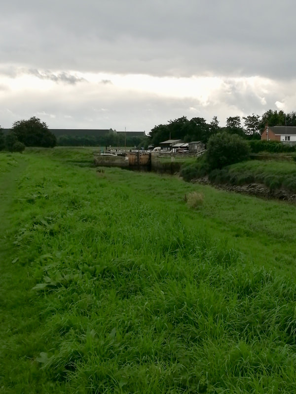
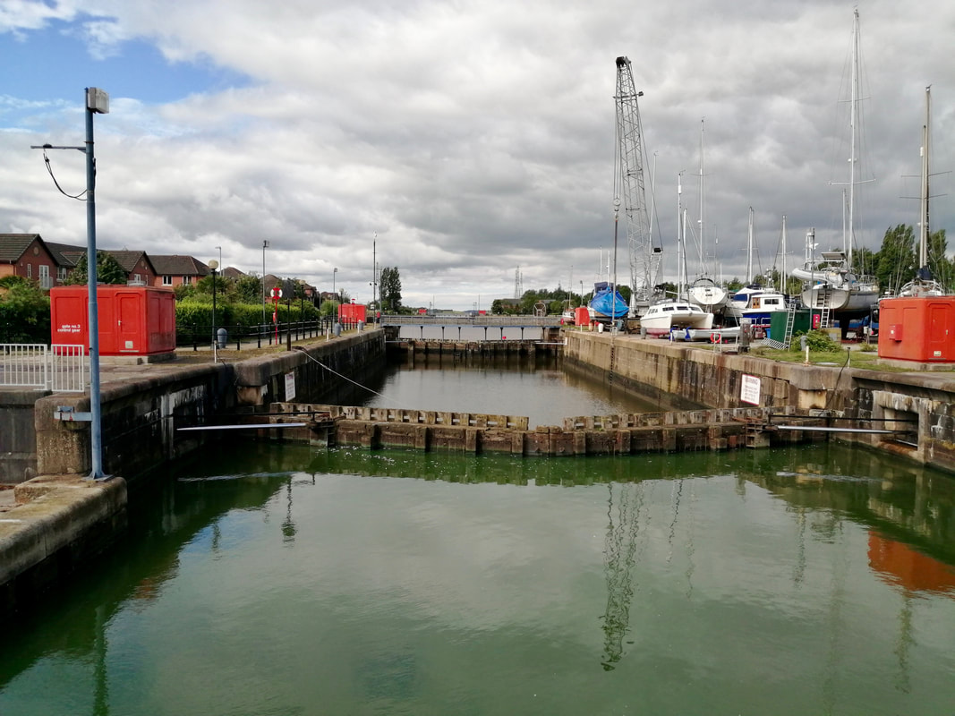 Riversway Docklands lock gates
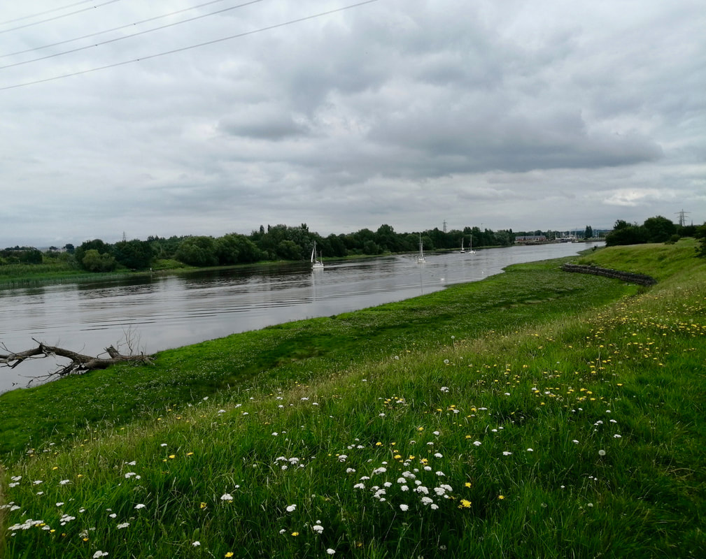
 The weather today was, like yesterday, grey and overcast but very warm, which made it quite pleasant walking along the river where there were nice views to be had. At Riversway Docklands the route turns slightly inland, the road splitting the docklands on the right from the area around the lock gates on the left which enable craft to enter from the river. The docks were earmarked for closure in 1979, but subsequent re-development, commencing in 1985, resulted in a mixed area of light commercial development, residential housing and social amenities.
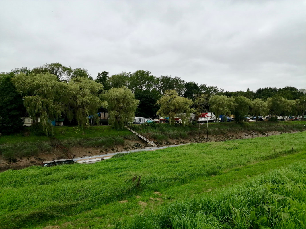
The cycle way continues and the minor road ends just after a swing bridge. The path continues along the river bank until it butts up against a municipal rubbish tip. We went along the road to the tip to try and find a way through but were turned back by two workmen who told us there was no entry.
The cycle way continues and the minor road ends just after a swing bridge. The path continues along the river bank until it butts up against a municipal rubbish tip. We went along the road to the tip to try and find a way through but were turned back by two workmen who told us there was no entry.

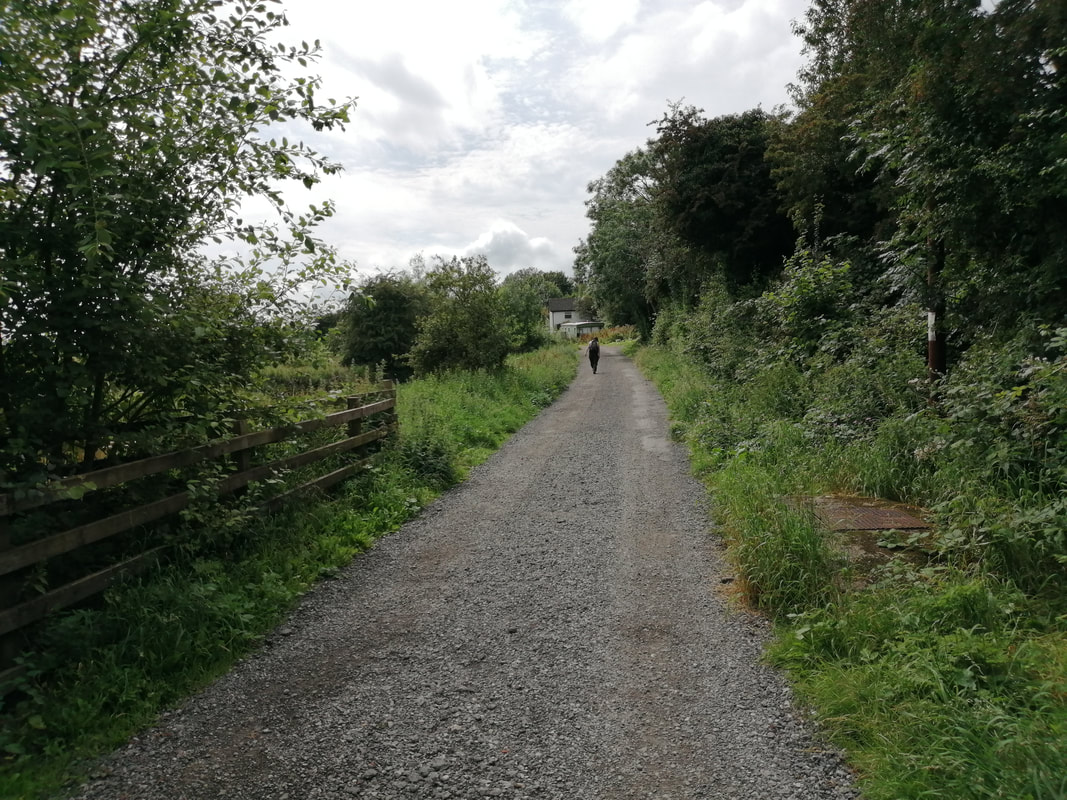
 Blackpool / Preston Road
 The cycle route continues up the side of Ashton Bank and on to the main Preston / Blackpool road. Here at least there was a decent pavement. From this point there is a three-kilometre walk to the junction with the A584, which is where you turn off to start on the route to Lytham. Before the junction, just above the location of the Savick Brook, we stopped at the motel where we enjoyed a surprisingly good brunch meal.
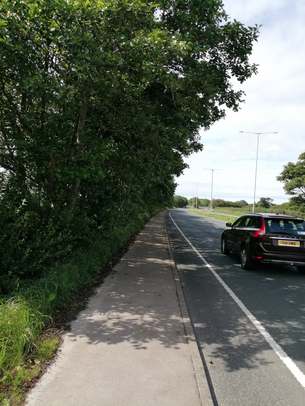
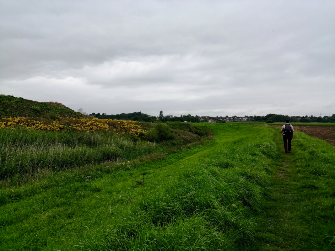
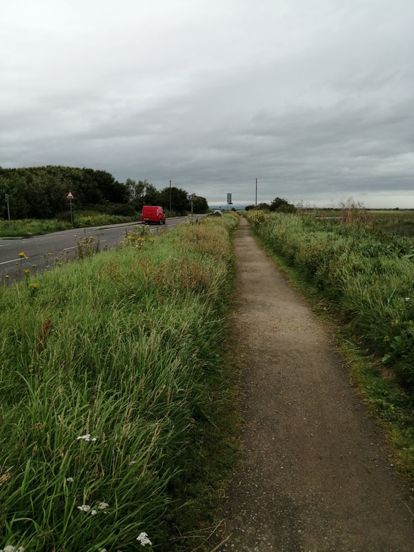
Back on the road, we continued to the junction after which the path deteriorated. While there is a pavement of sorts running up the side of the hedgerow, it is so overgrown in places that it becomes impassable. As well, long trousers are required (which I had) as there is an abundance of nettle in the undergrowth. My walking partner, who was wearing shorts had no option but to walk on the cycle lane at the side of the road, which carried its own dangers, while I blithely walked through the nettles. I cannot quite see why the local authority have allowed the pavement to deteriorate so badly. Unless, of course, you are supposed to treat the cycle lane as a pedestrian footpath as well. In which case, they should install bollards or some other means of distancing to the side of the lane to properly separate it from vehicular traffic.
Back on the road, we continued to the junction after which the path deteriorated. While there is a pavement of sorts running up the side of the hedgerow, it is so overgrown in places that it becomes impassable. As well, long trousers are required (which I had) as there is an abundance of nettle in the undergrowth. My walking partner, who was wearing shorts had no option but to walk on the cycle lane at the side of the road, which carried its own dangers, while I blithely walked through the nettles. I cannot quite see why the local authority have allowed the pavement to deteriorate so badly. Unless, of course, you are supposed to treat the cycle lane as a pedestrian footpath as well. In which case, they should install bollards or some other means of distancing to the side of the lane to properly separate it from vehicular traffic.
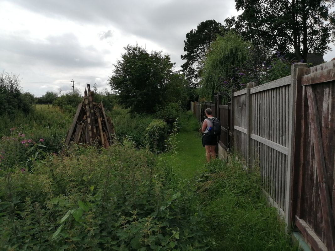
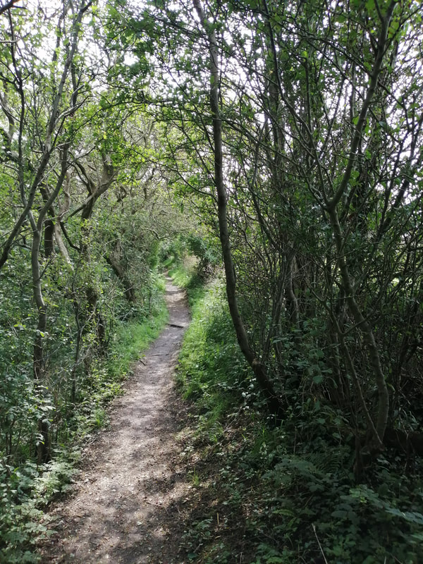
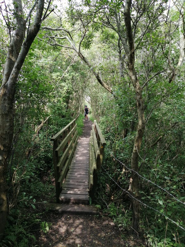
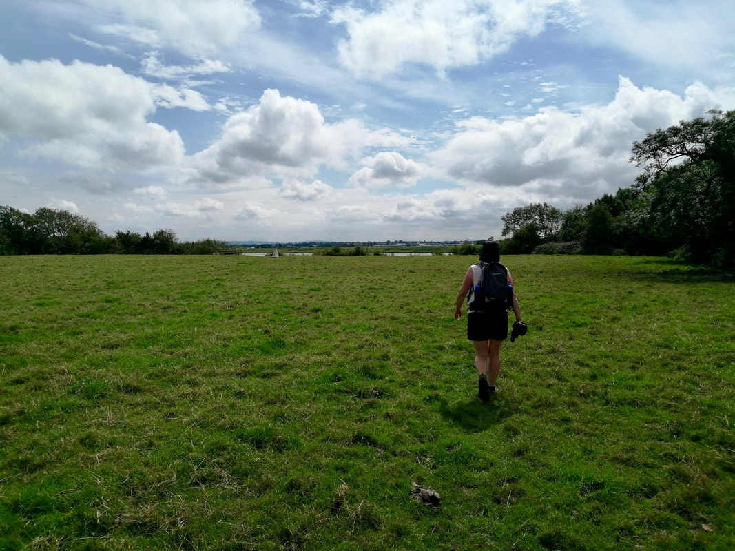
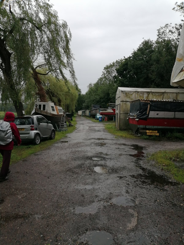
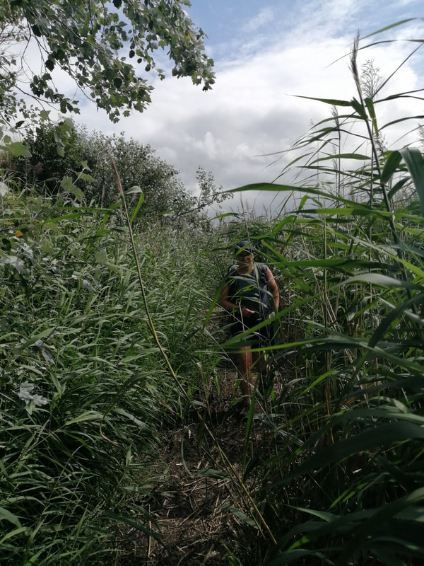
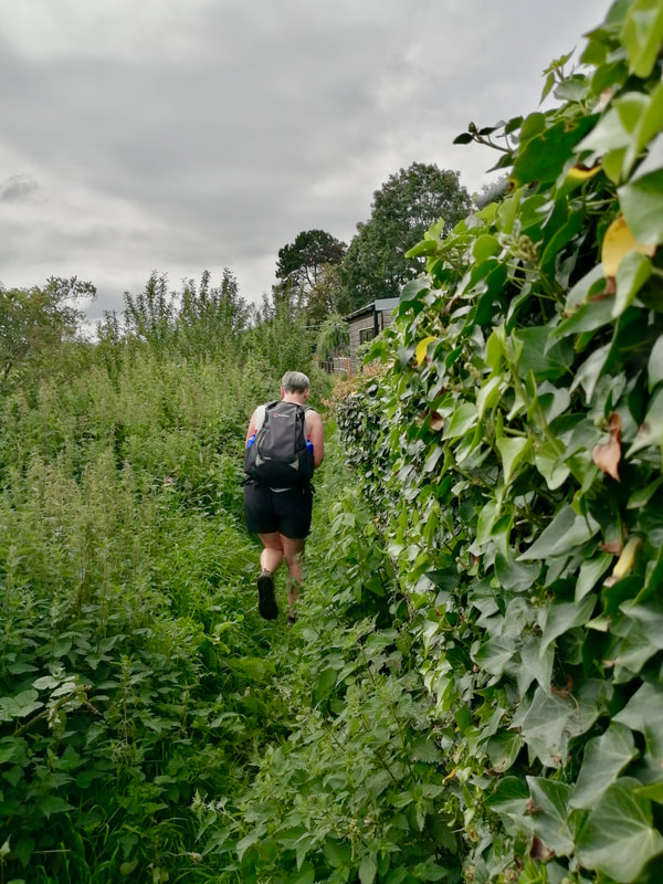 Path at Freckleton
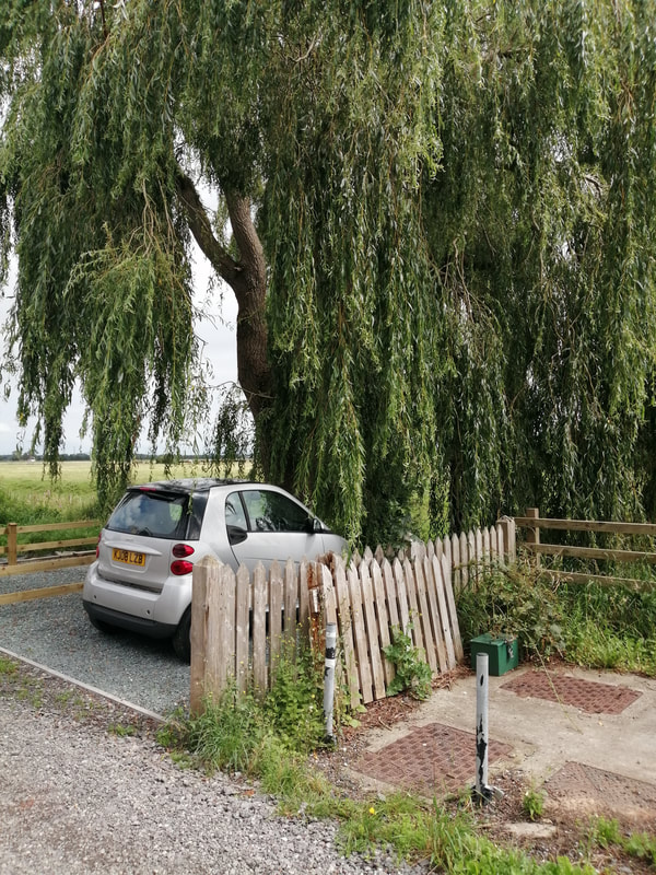
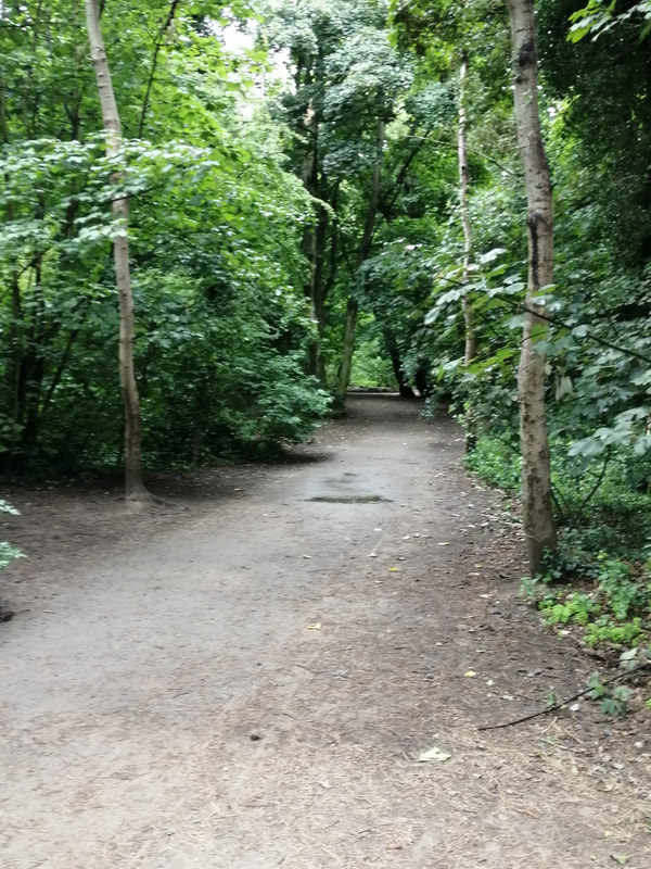
 The road section ends at the entrance to the village of Freckleton, going down a lane, through some houses to access a path along what I think is called the Dow Brook. Yesterday, from the opposite bank, we could see where this body of water discharged in to the River Ribble. The first part of the path was very overgrown and full of nettles and, despite the heat, Joanna Elizabeth eventually put on waterproof trousers to go through them. The path soon widened out to become a track and there followed a nice wee meander through some light woods, down the banks of the brook where there were a couple of nice, wee rickety bridges. We were both taken by the small Smart car parked beneath the weeping willow.
Down the Dow Brook
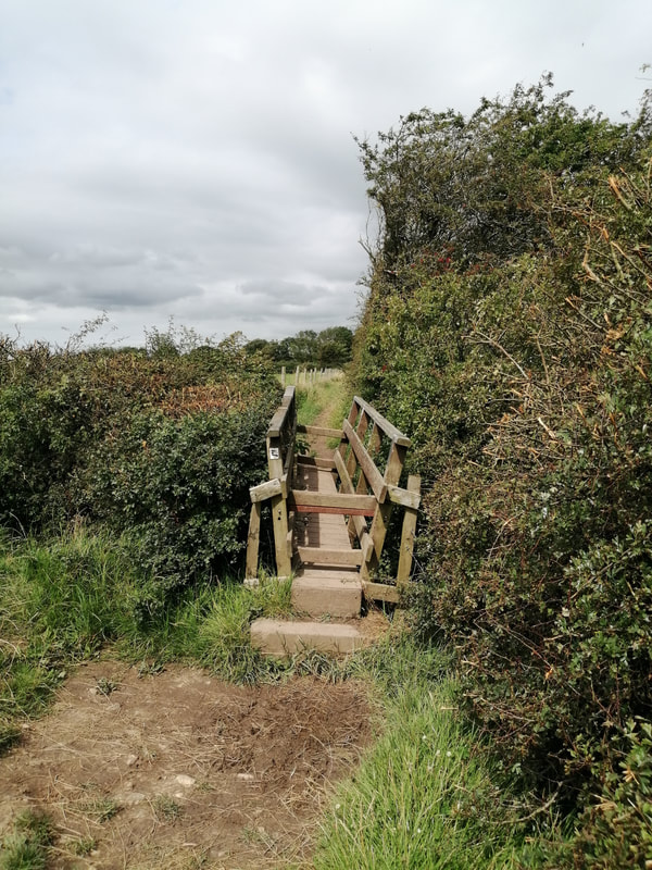
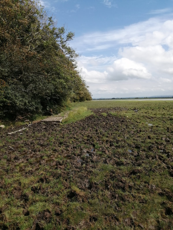
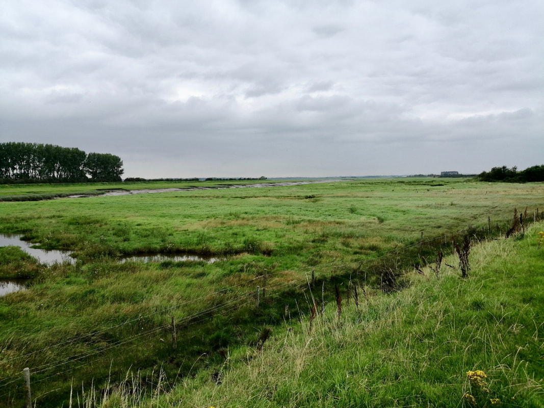
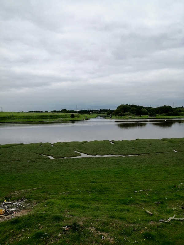
 Approaching the River Ribble
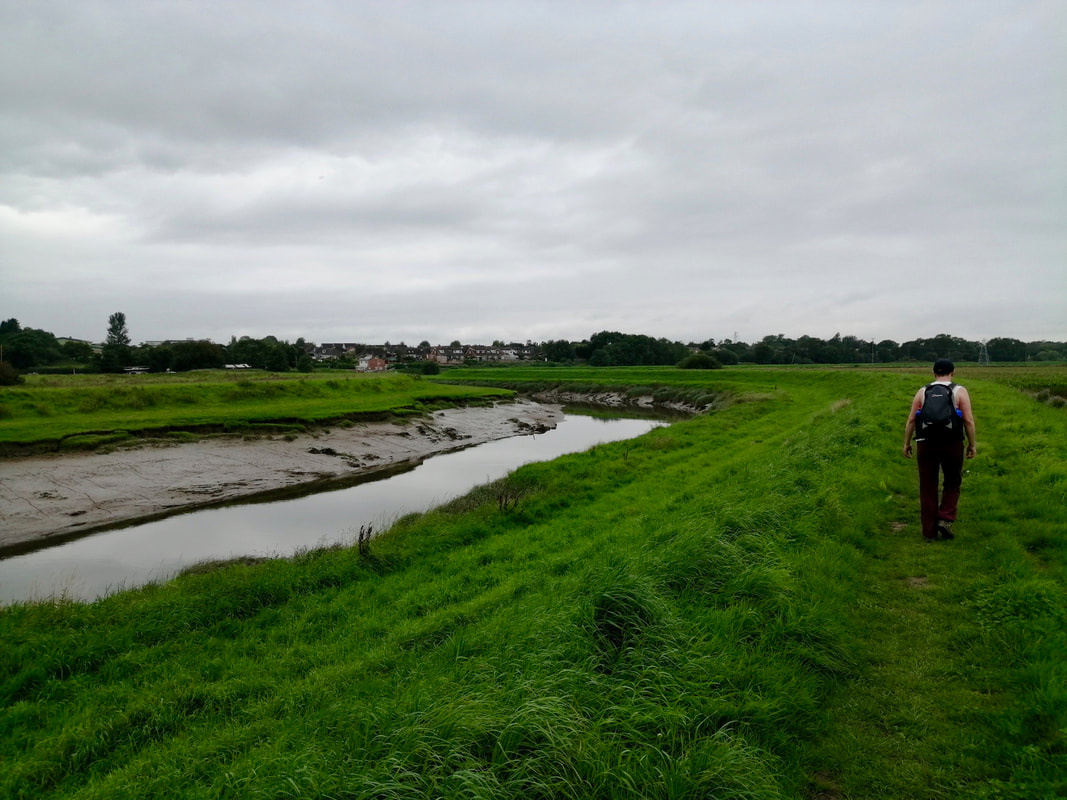
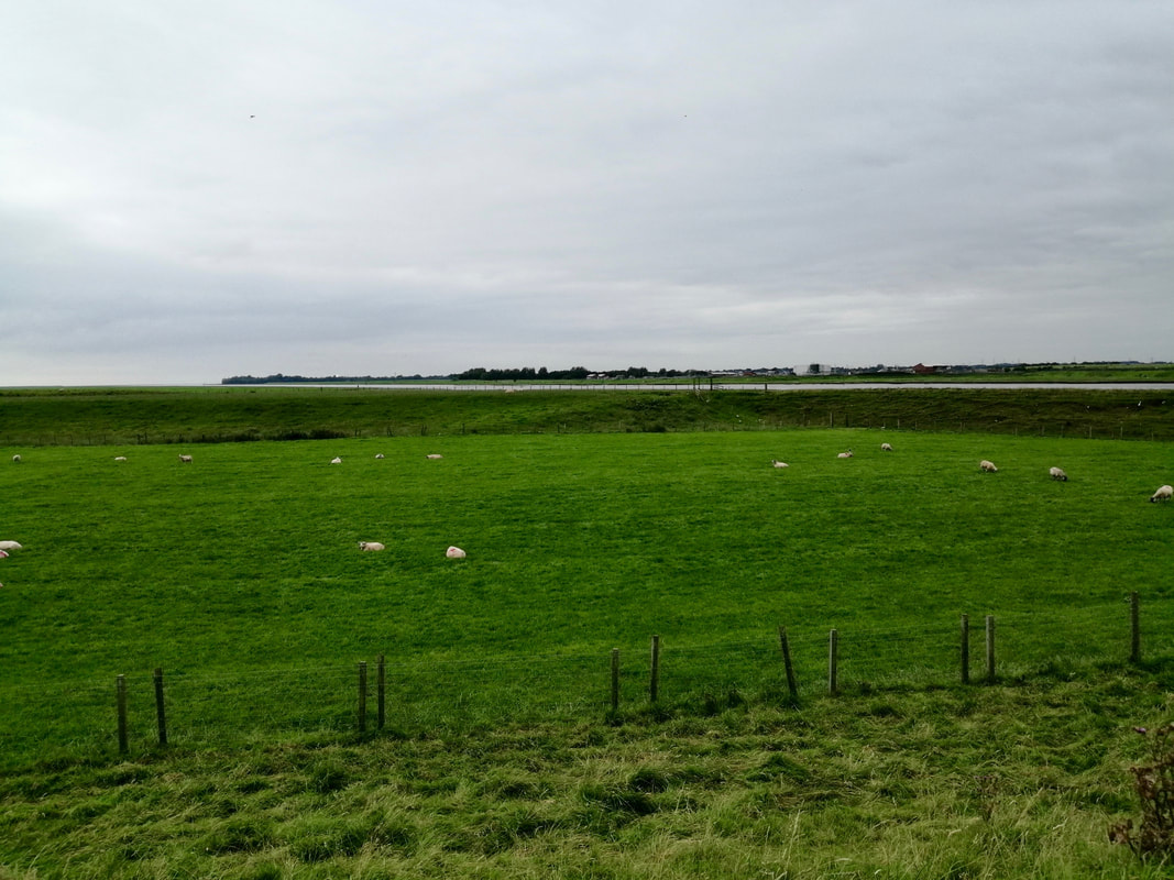
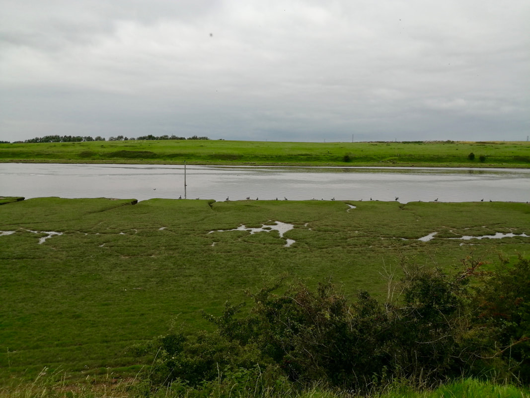
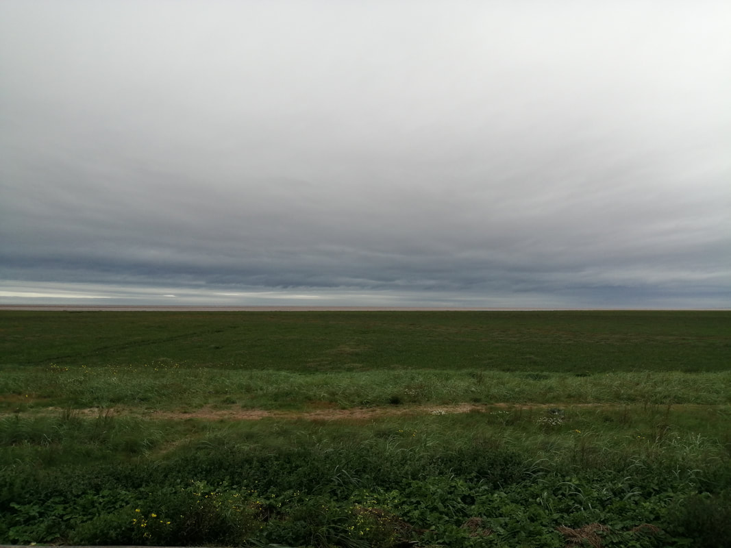
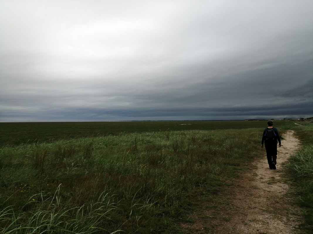
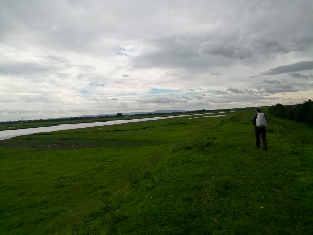
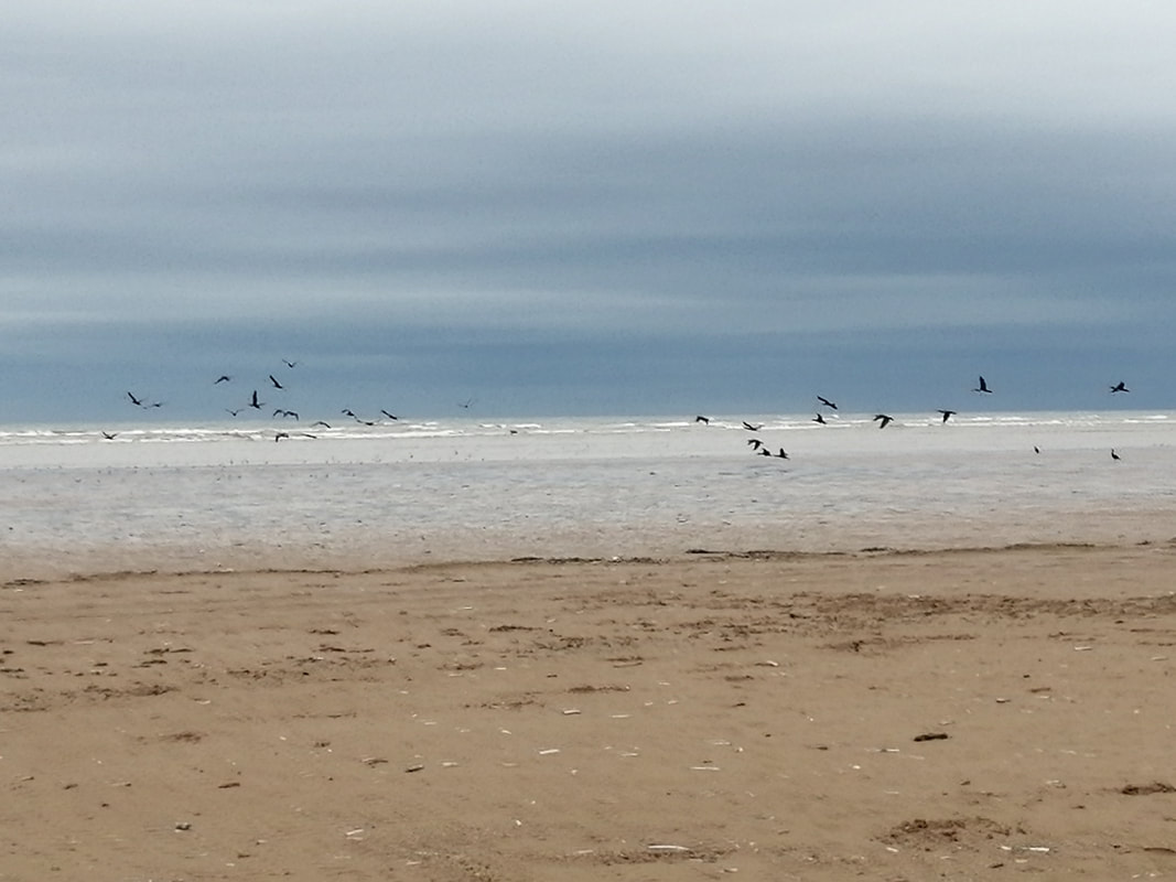
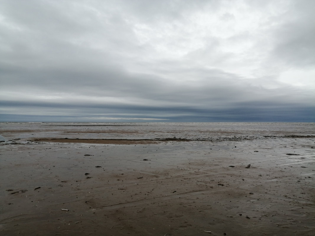
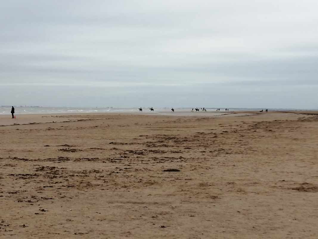
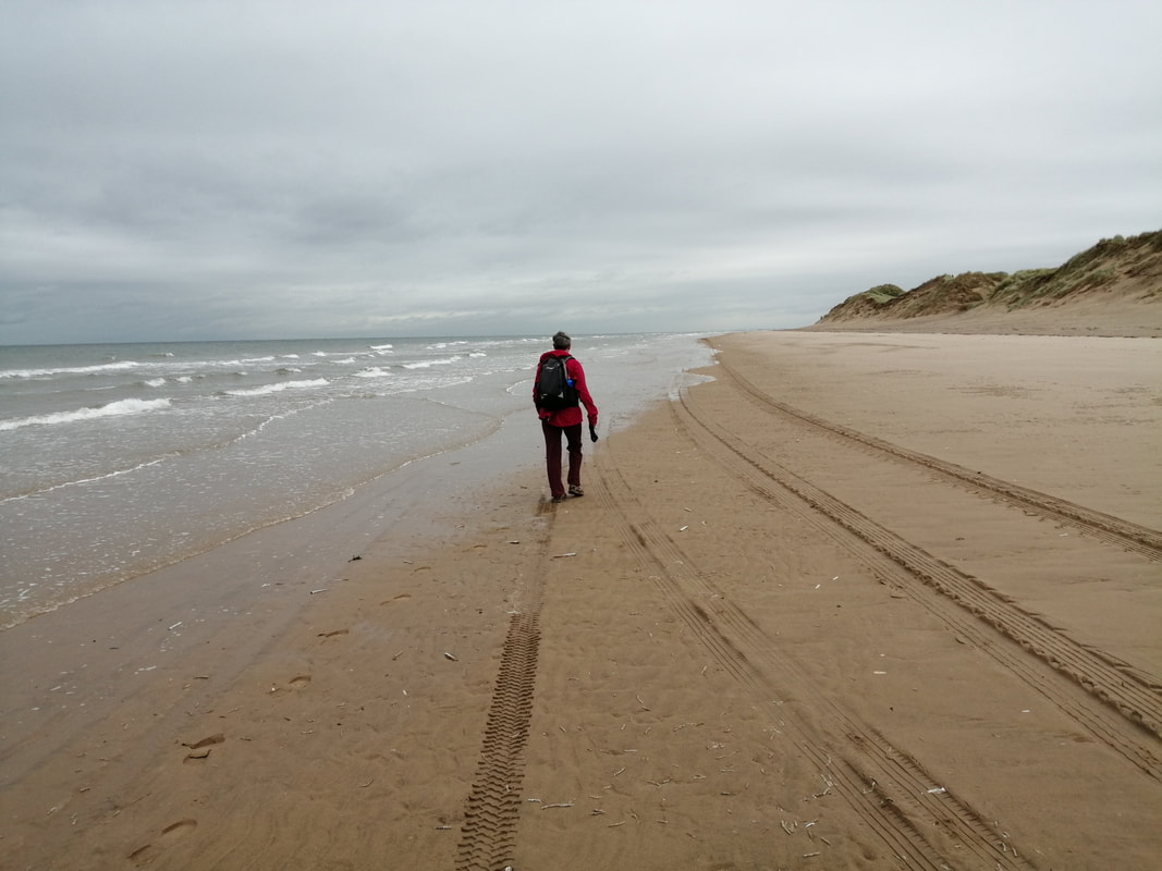
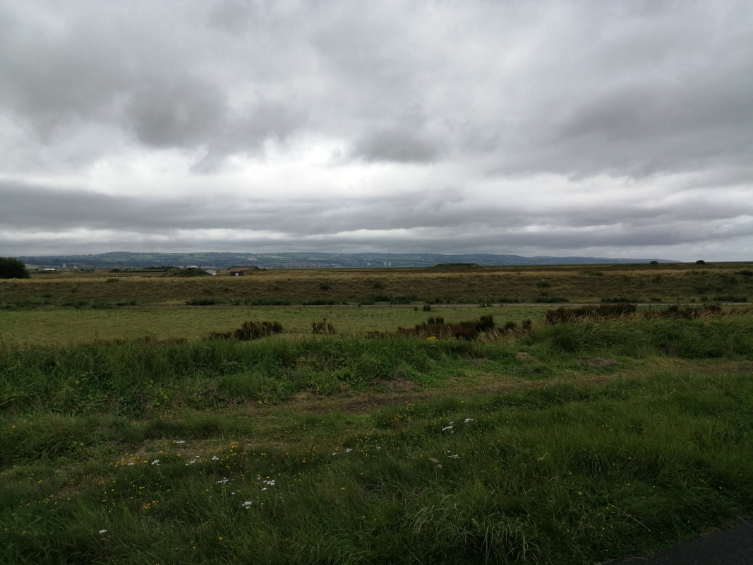
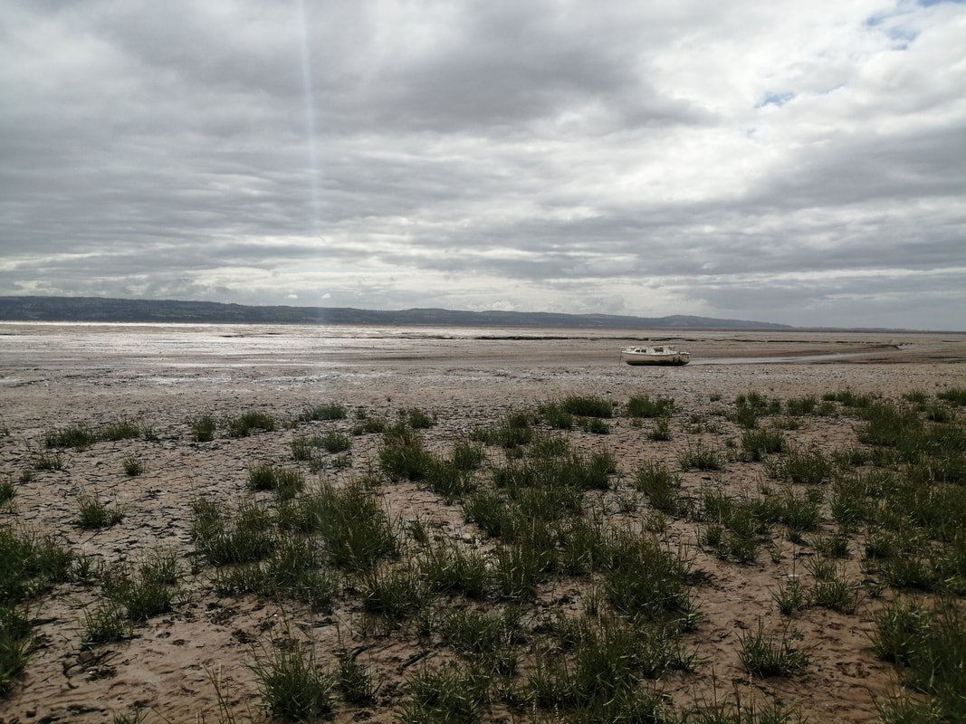
 You are walking on the Lancashire Coastal Way here and as you come to the mouth of the brook you are back on the banks of the River Ribble. Initially, the walking was quite good but it deteriorated as we moved on to the edge of the marshes at Warton Bank where we had to carefully pick our way across a muddy expanse. If you got your footing wrong here the mud was quickly up over your boot as you sunk in over your ankles. Like all marsh waters the stink was not very nice. The footing improved later as we moved on to more solid ground around the Warton Aerdrome and it remained dry for much of the rest of the walk to the edges of Lytham. The sun was out now and there were a surprising number of Gatekeeper butterflies over the section.
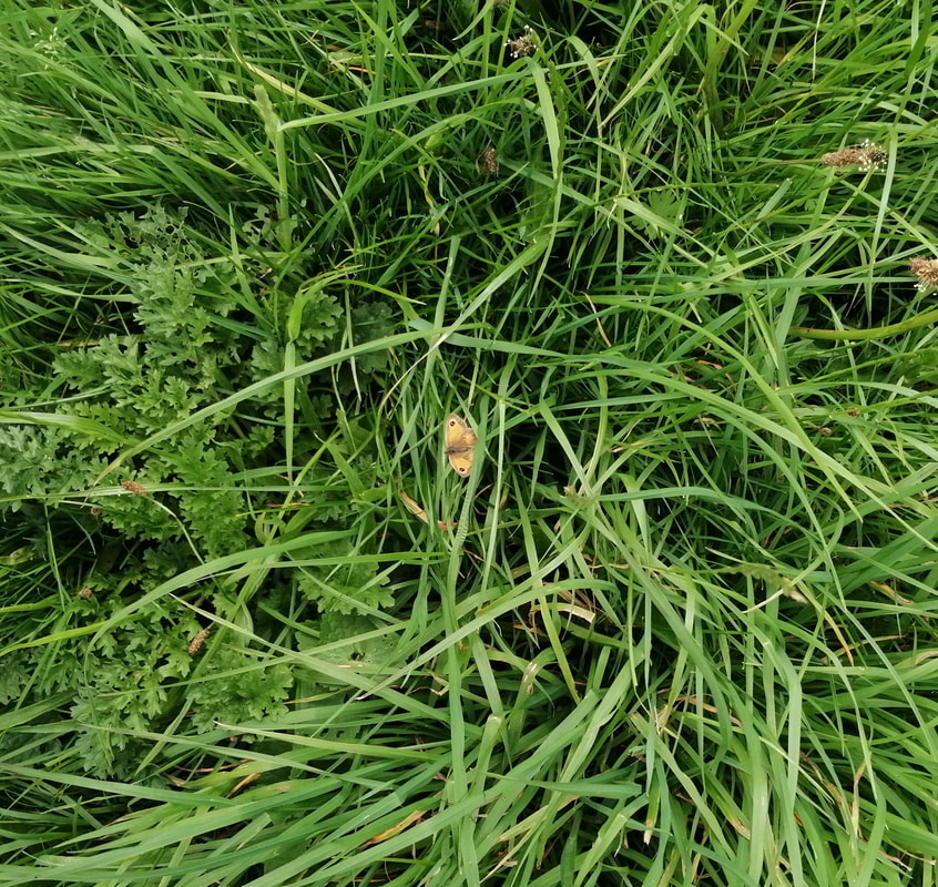 Gatekeeper Butterfly
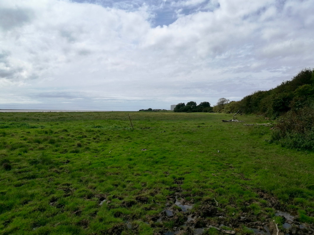
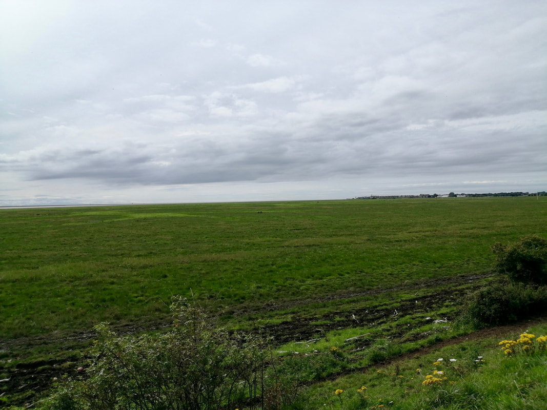
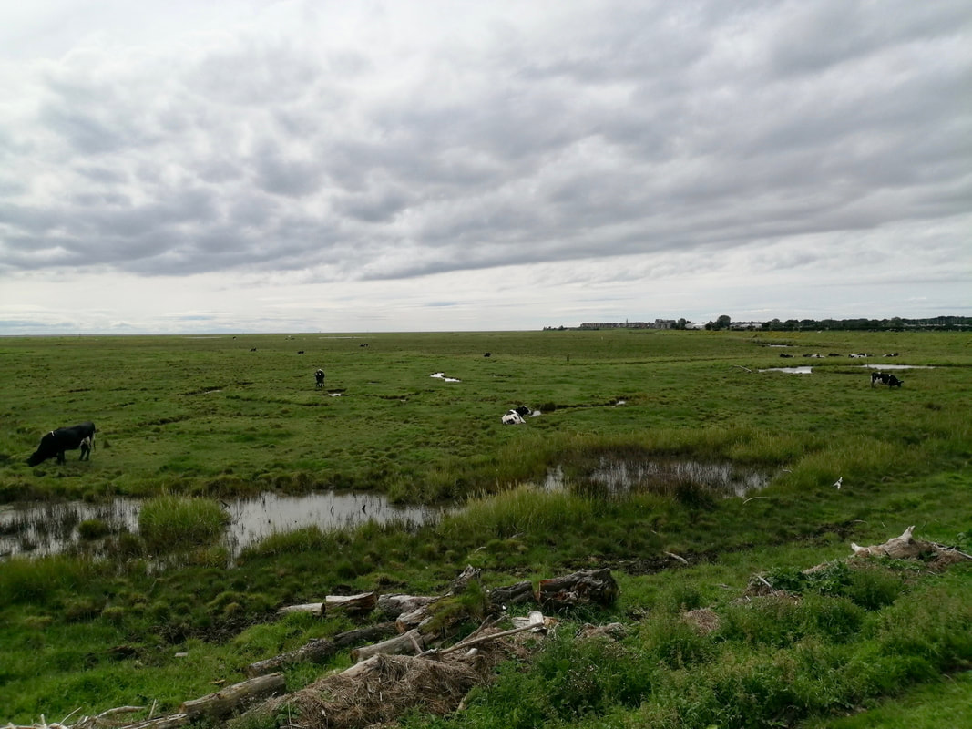
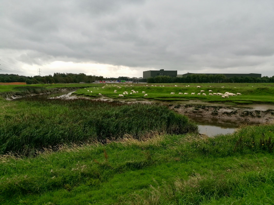
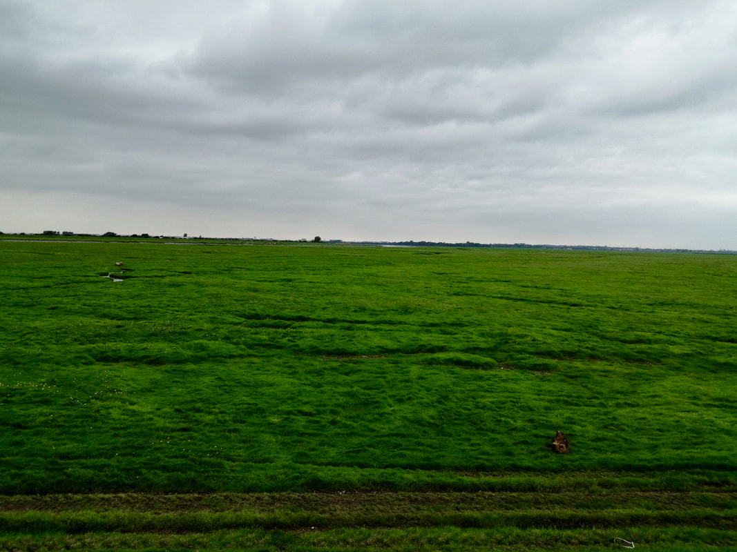
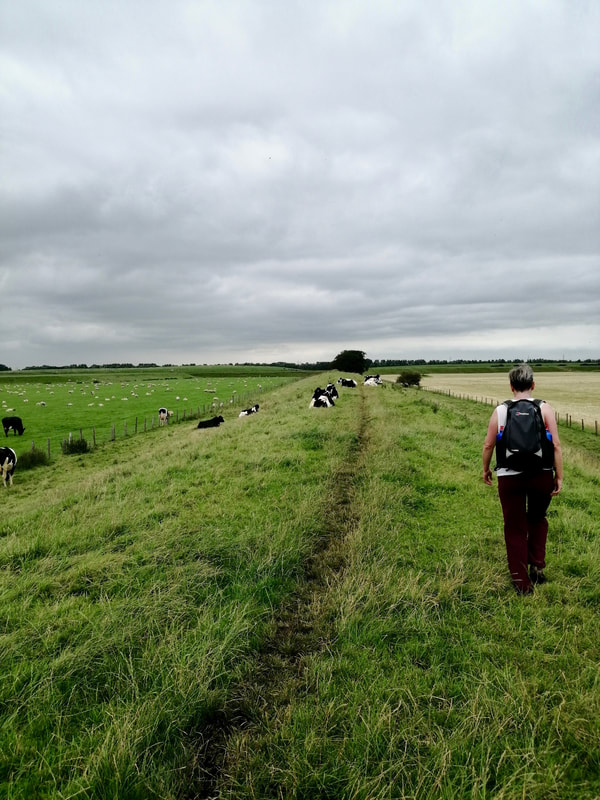
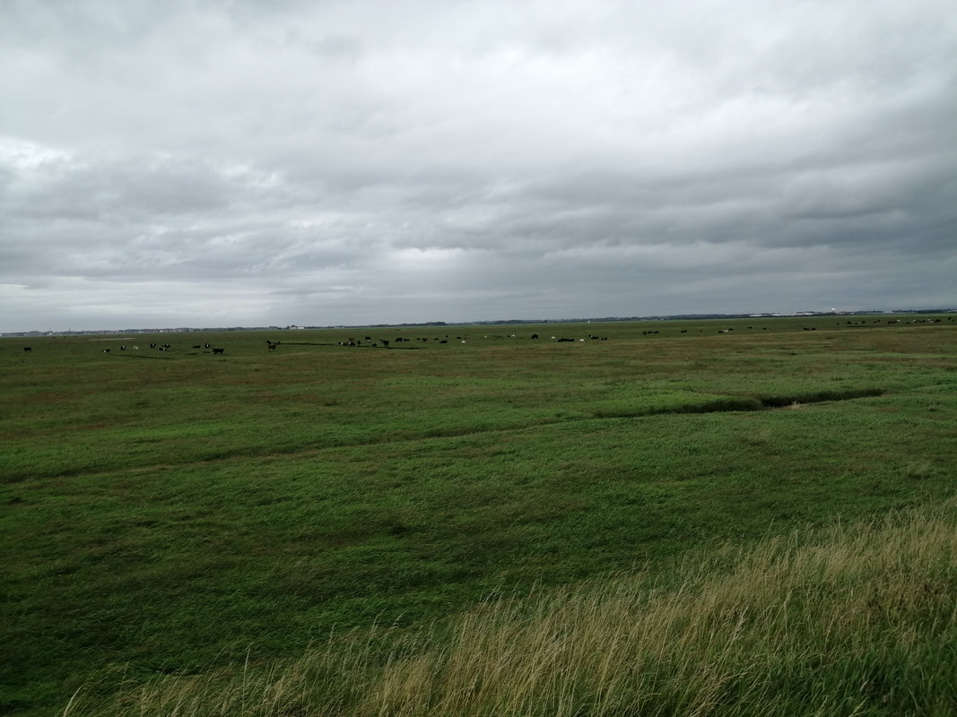
 As you round the aerodrome the path turns slightly inland to avoid the creeks, rills and drills that lie on the eastern end of Lytham. There are expansive views out and over the Warton Bank, the River Ribble narrowing, squeezing through the last bits of mainland before opening out as an estuary to run in to the sea. Cattle can be seen quietly grazing on the marsh, most of them lying down in the afternoon sunshine.
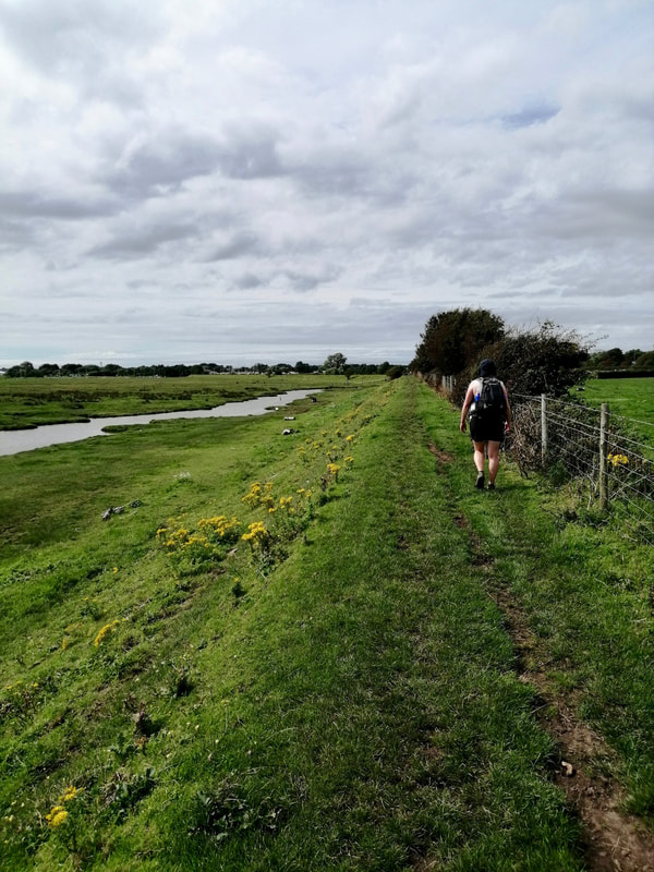
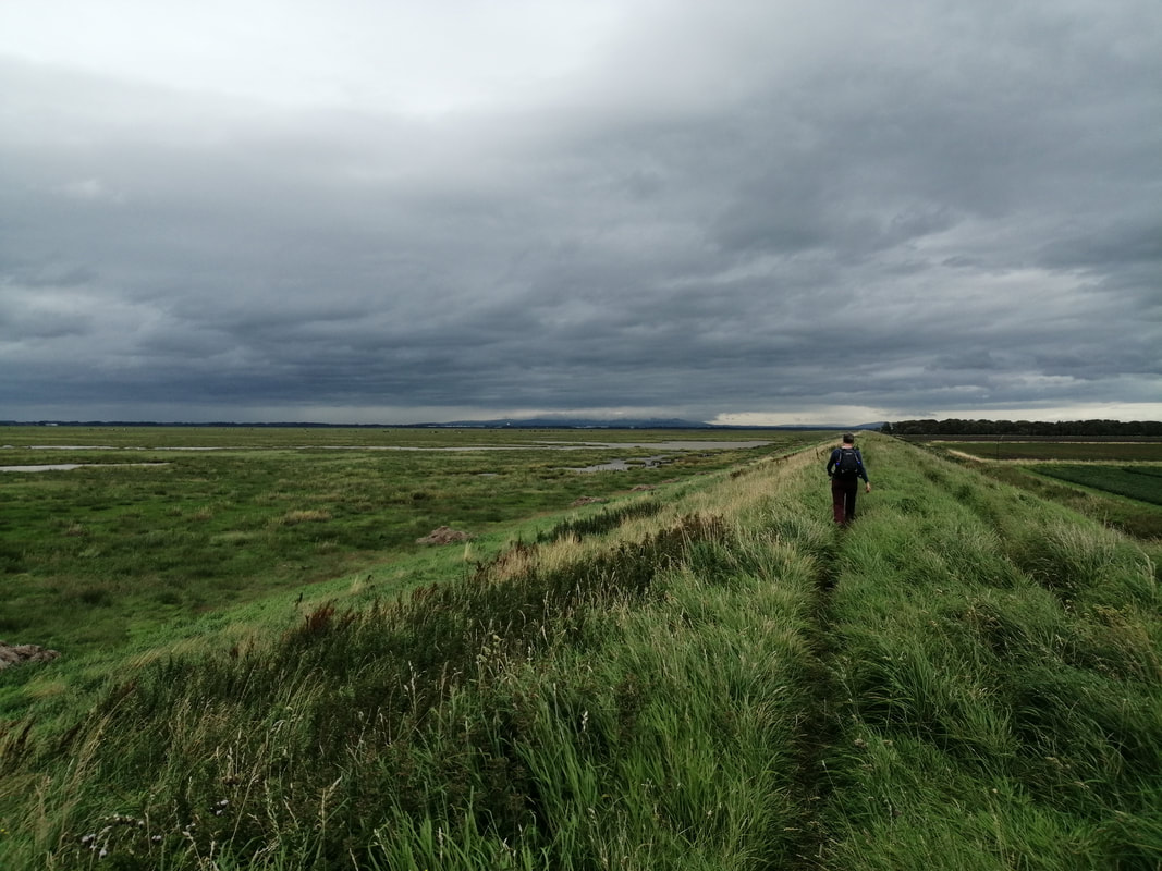
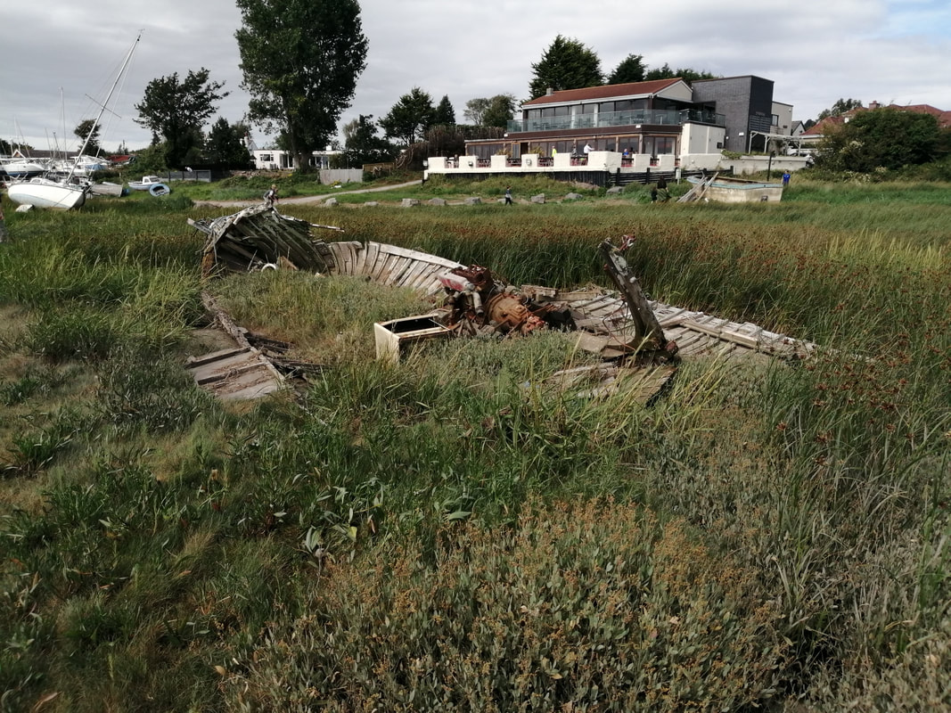
After crossing Warton Bank you meet a short section of seawall on one of the creeks, which takes you up to the main road in to Lytham, before almost immediately turning and taking you back on to the opposite seawall for the walk round the marsh and in to Lytham Dock.
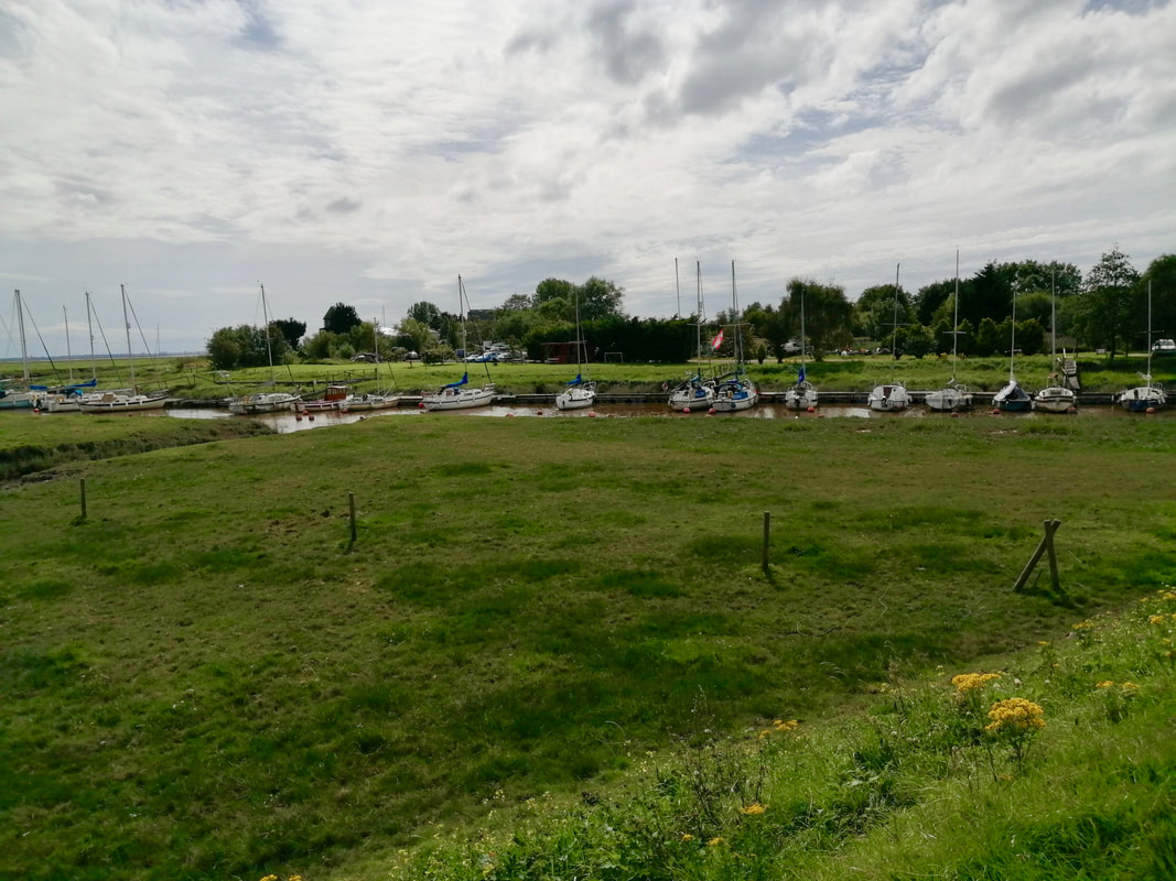
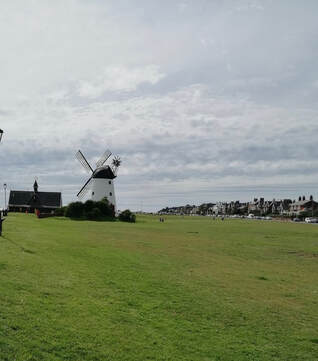
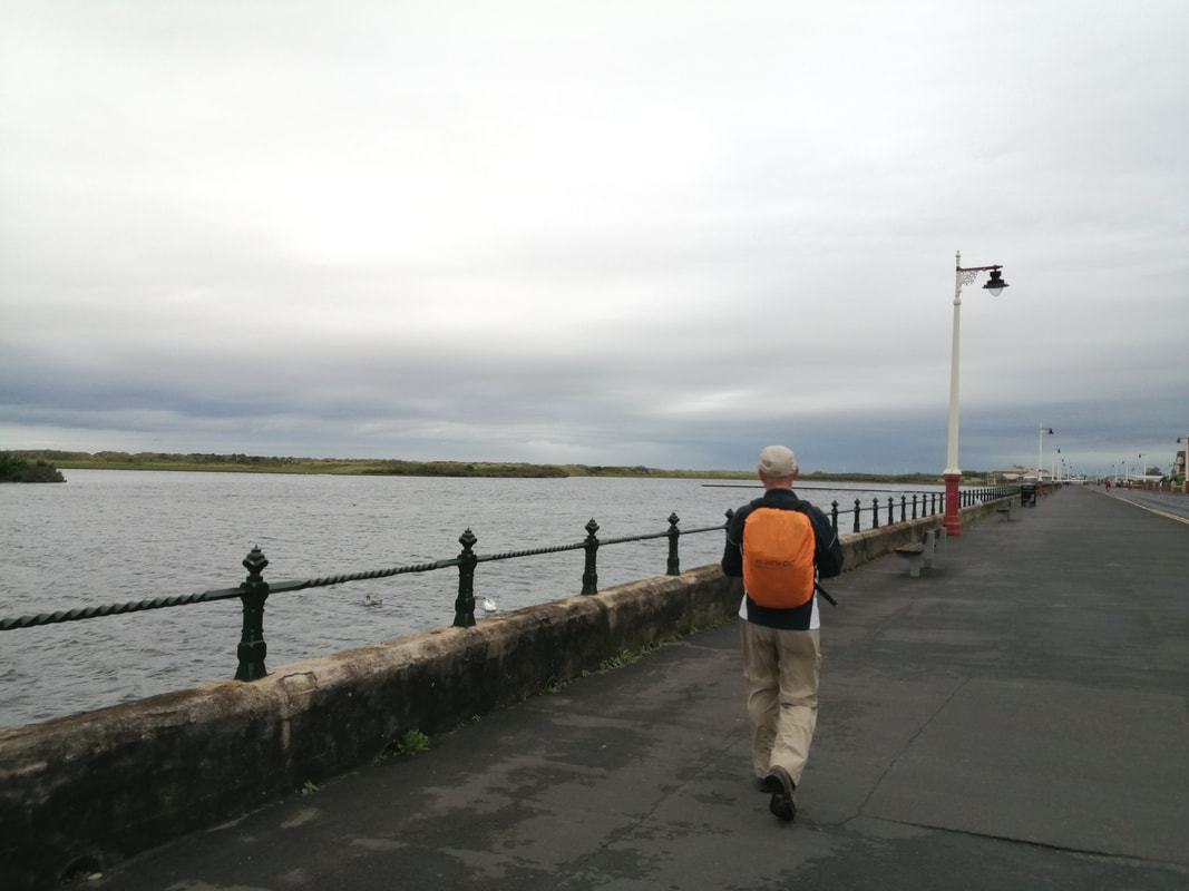
At the dock you cross a road and a bridge to start on a final rural section, after which you move on to the road which runs down and on to the promenade that fronts the sea. A short distance along here is the 'slightly' famous Lytham Wind Mill, built in 1805. The wind mill was essentially the end of the day's walking for us and from there we made our way to the train station.
After crossing Warton Bank you meet a short section of seawall on one of the creeks, which takes you up to the main road in to Lytham, before almost immediately turning and taking you back on to the opposite seawall for the walk round the marsh and in to Lytham Dock.
At the dock you cross a road and a bridge to start on a final rural section, after which you move on to the road which runs down and on to the promenade that fronts the sea. A short distance along here is the 'slightly' famous Lytham Wind Mill, built in 1805. The wind mill was essentially the end of the day's walking for us and from there we made our way to the train station.
It was a mixed day's walking with some nice sections and some eminently forgetable. Whether taking the rural route above the roads would have been qualitively different I'm not sure, but it seemed to me the route we took was more straightforward. I suppose its just a matter of 'you makes your choices' and live with the consequences. At least we had a nice second breakfast.

 RSS Feed
