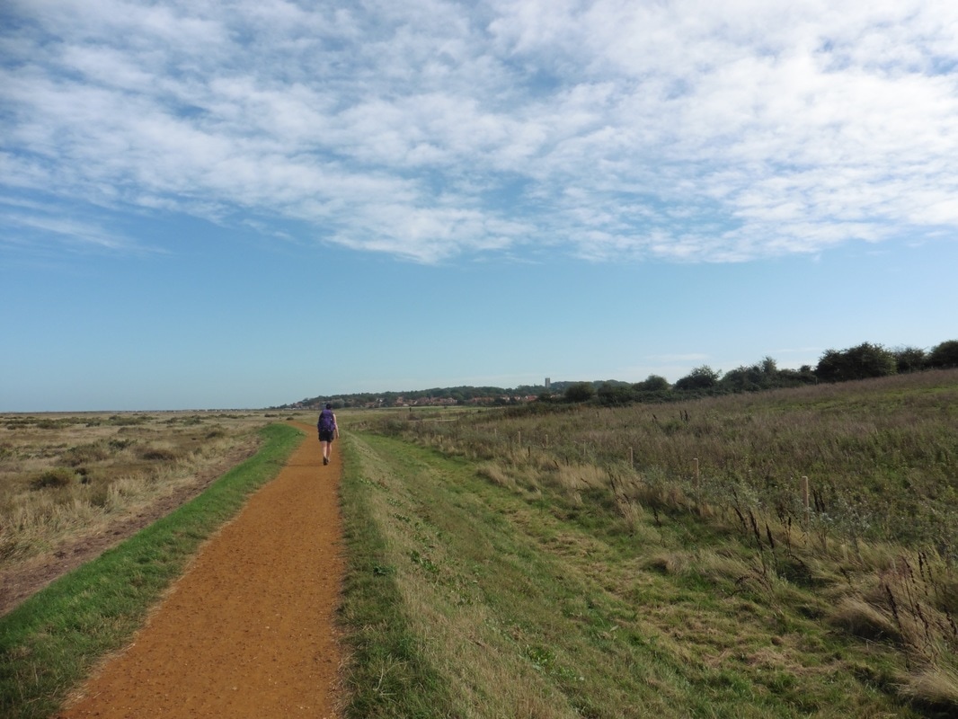
The plan for today is to walk the sixteen miles to Weybourne and catch the coast hopper bus to Cromer where we will overnight in a B&B. We will leave most of our gear in the B&B, take the coast hopper back to Weybourne the next day and walk back to Cromer with only light packs. With luck and speedy feet we should catch the bus at Weybourne about 5.00pm and be back in the B&B in Cromer for 6.00pm.
 Creek, Wells-next-the-Sea
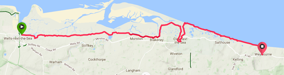
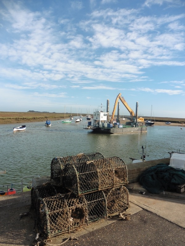
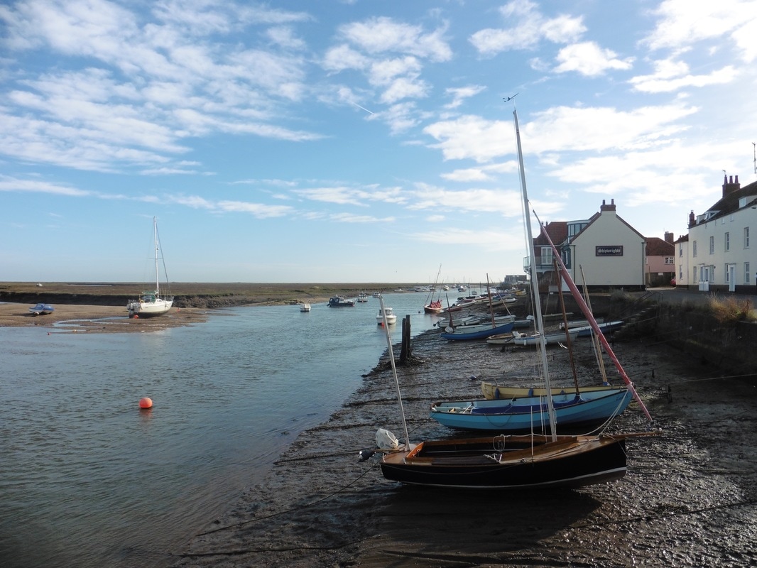
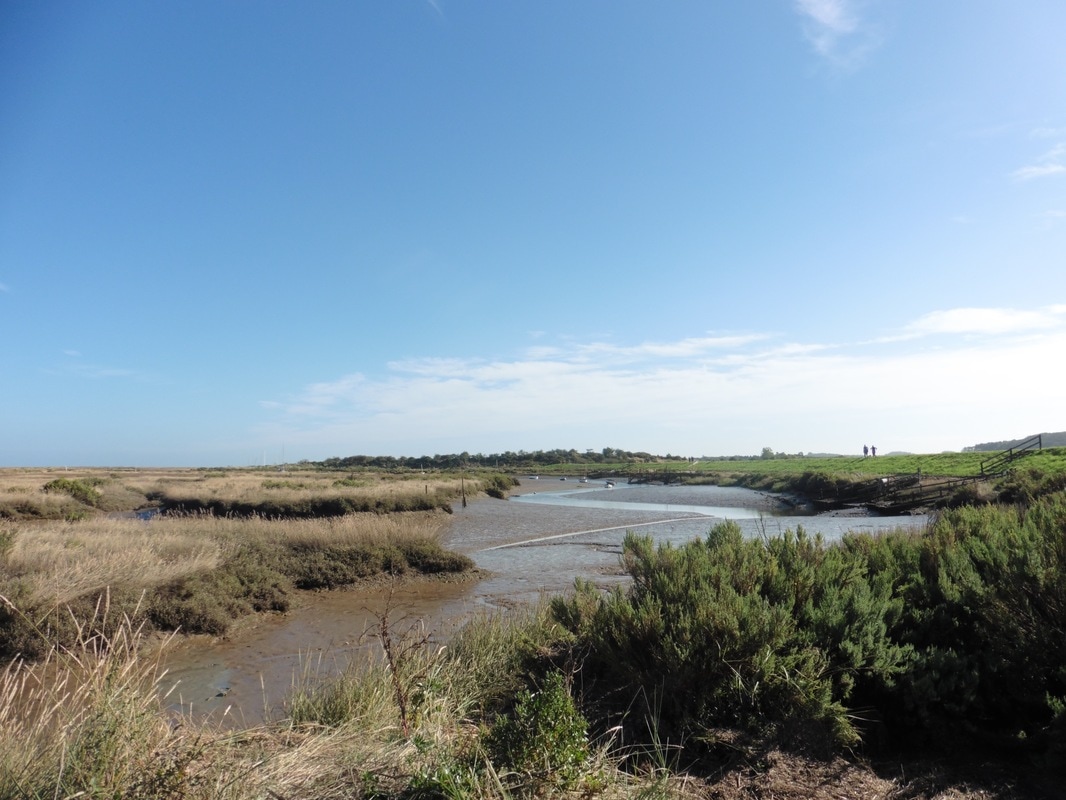
 After breakfast in the hostel, we made our way back to the harbour area where we had stopped our coastal walk yesterday. With the tide still reasonably high and the creek filled up, the area was busier and there were a number of leisure craft bobbing on the water and a dredger busy at work maintaining the channel.
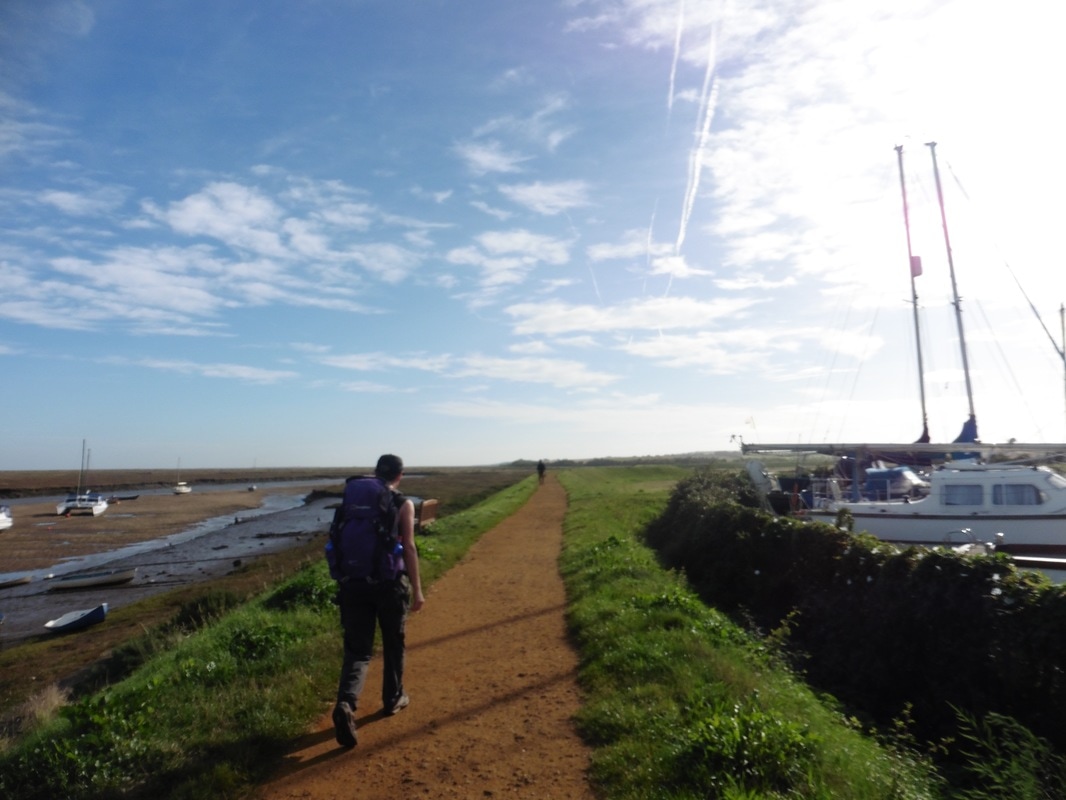
The sky was blue with cotton wool clouds and, although still early morning, it was already quite warm. After a quick stop at a local sandwich shop for a packed lunch, we set off along the harbour road heading for the coastal path. There was a wonderful stillness to the early morning air and with the sun well above the horizon it was tremendously bright.
The sky was blue with cotton wool clouds and, although still early morning, it was already quite warm. After a quick stop at a local sandwich shop for a packed lunch, we set off along the harbour road heading for the coastal path. There was a wonderful stillness to the early morning air and with the sun well above the horizon it was tremendously bright.
Where the harbour road turns sharp right to head up towards the main A149, which heads back to Hunstanton or onwards to Cromer, the coastal path goes straight on, past a small marina on the right that connects to the main creek on the left. Almost immediately there is a little jiggle to get round an arm of the creek before you are on to a long straight section with Warham Green on your right and Stonemeal Creek by the path on the left and with Warham Salt Marshes beyond.
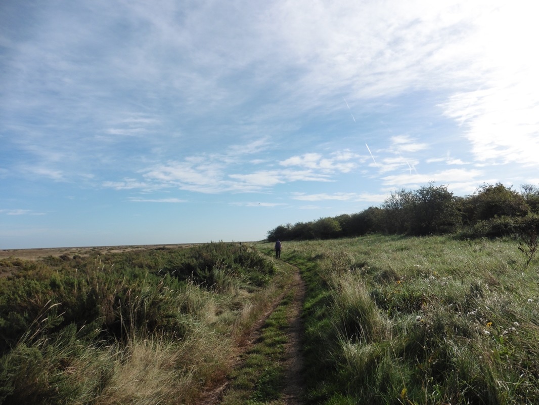
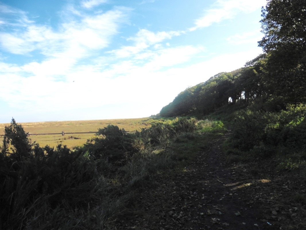
The route is initially red gravel but it soon roughens up in to a two-lane grass path with wild and at times high vegetation at the sides. In the distance we can just see the buildings of Warborough Hill and beyond that the square church tower at Stiffkey, where there is thought to have been a church for about 900 years. The village of Stiffkey, is locally called 'Stew-key' in reference to the blue-green clays that underlie it and which colours the cockles that are harvested.
The route is initially red gravel but it soon roughens up in to a two-lane grass path with wild and at times high vegetation at the sides. In the distance we can just see the buildings of Warborough Hill and beyond that the square church tower at Stiffkey, where there is thought to have been a church for about 900 years. The village of Stiffkey, is locally called 'Stew-key' in reference to the blue-green clays that underlie it and which colours the cockles that are harvested.
Wells-next-the-Sea
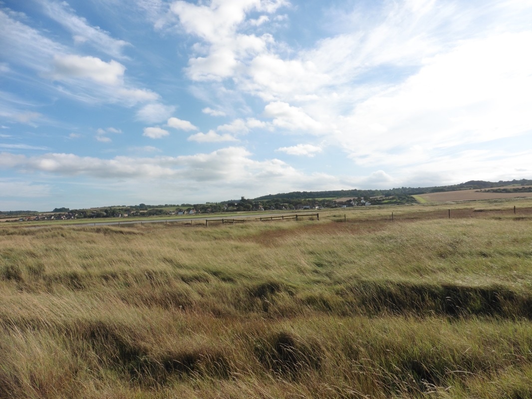
Although this is the coastal path, in fact we are some miles from the sea. Between us and the briney there is a wide expanse of salt marsh and beyond that again the sandy beaches of Bob Hall Sands and further on West Sand. When you look over the salt marsh it seems just as wide as the blue sky above. The colour contrasts here are wonderful. Some of the area around the marshes are grazings and I presume that they are fed nutrients because they are often a wonderful, bright emerald green. Seen today against the muted colour of the marsh and the vivid blue and white of the sky, the grass really stands out.
 Hedgerows
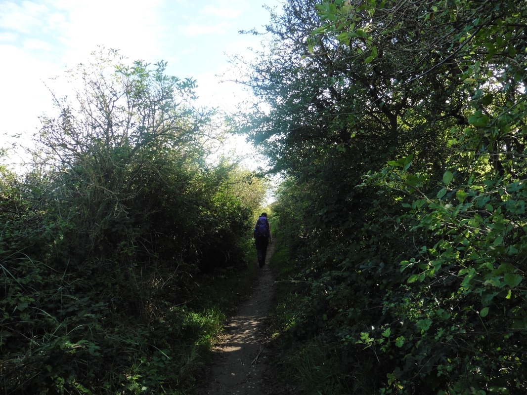
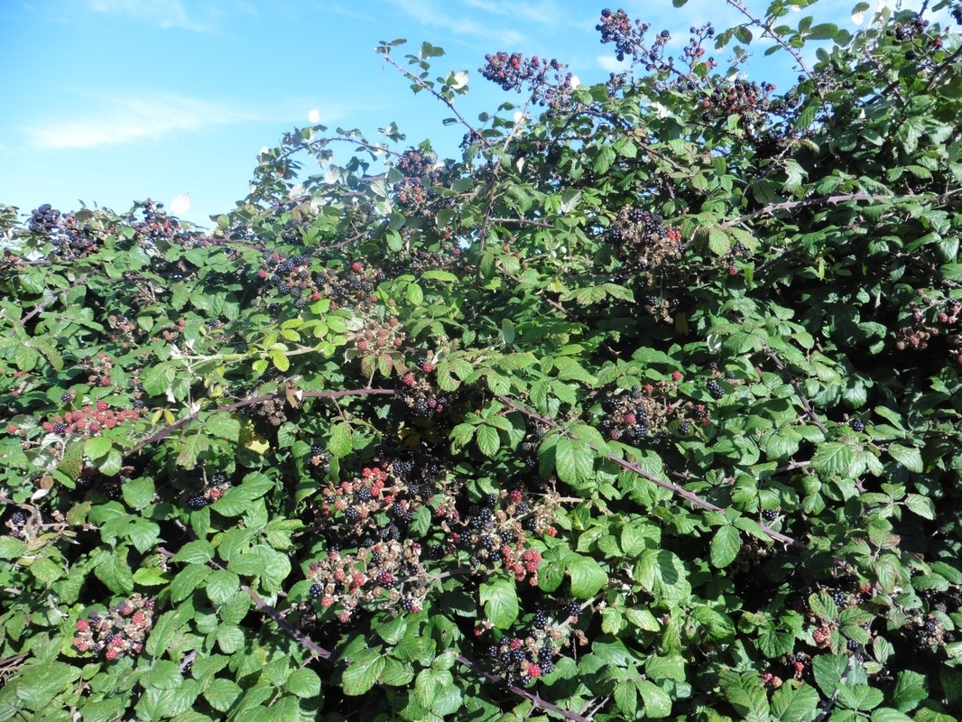
 Initially, there is no hedgerow to speak of, but the further away from the town we walk, the more common is the thicket. As it is September, the fruiting shrubs are full, with miles of brambles by the side of the path. Miles of heavily laden bramble bushes and nobody picking them. It seems a shame. When I was a youngster I would not have hesitated to be eating handfuls of the things. In my later years, I am a little bit more cautious and with no capacity to wash the fruit we severely restrict our intake. I can still tell you, however, that they taste wonderfully sweet but still with the slight jaw-drawing capacity that good wild fruit should have. We have done well the last couple of days with brambles, plums and figs growing in the wild.

 Stiffkey Salt Marsh
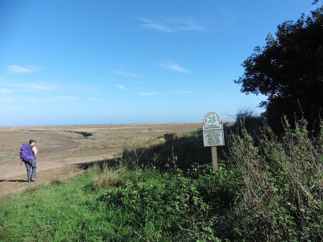
 There are opportunities going along the stretch just before and below Stiffkey itself, to take a detour across the salt marsh and down to the sandy beach. However, with sixteen miles to complete today we decided against it and stuck rigidly to the main path. I can assure you it has been added to the list of places we want to go back to. We drop down slightly to our left at Stiffkey Greens to walk along with Stiffkey Marshes on one side and the front edge of a small wood on our right. The marshes are in the care of the National Trust and are managed as part of the Blakeney Nation Nature reserve.
 Small Wood
 At the end of the marshes we jink in to the right to begin a 'zig-zag' around Freshes Creek and on to the straight heading for Morston. With the tide now out, there is little water in the creek and brown mud, still wet from the sea, glistens brightly in the sun. A few small leisure craft lie on their sides on the mud flats. The noise of metal cleats striking main masts drifts across the space. There is a distinct aroma on the air like mushroom compost.
At the bottom of the 'zig', on the right -hand side, a small lake lies across the land, thick reed beds in the foreground and arable land in the background marching towards the horizon. On the far side of the 'zag', hedgerow sit atop a banking, the green vibrant against a subdued area of the blue sky. Elsewhere pretty, white, paint-stroke clouds drift lazily in the light breeze. There are more people about here, walking in the general direction of the Morston Greens (salt marshes) and beyond the marsh to the small quay at Morston.
At the bottom of the 'zig', on the right -hand side, a small lake lies across the land, thick reed beds in the foreground and arable land in the background marching towards the horizon. On the far side of the 'zag', hedgerow sit atop a banking, the green vibrant against a subdued area of the blue sky. Elsewhere pretty, white, paint-stroke clouds drift lazily in the light breeze. There are more people about here, walking in the general direction of the Morston Greens (salt marshes) and beyond the marsh to the small quay at Morston.

Morston Area
 To Morston Quay
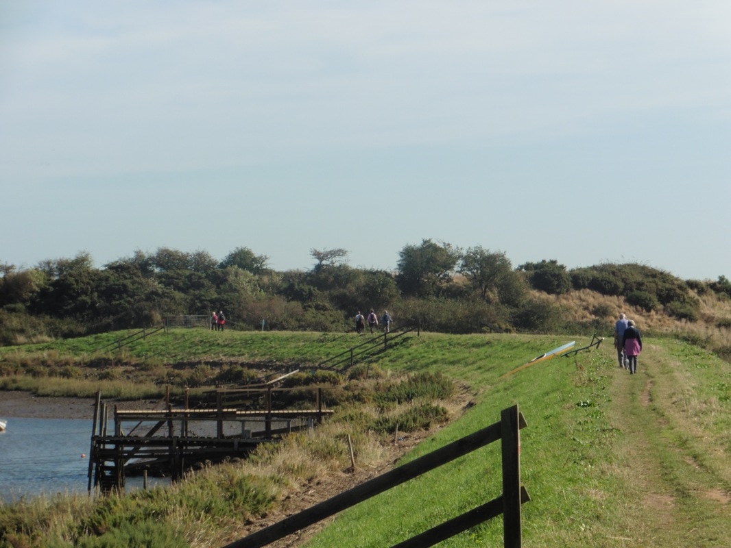
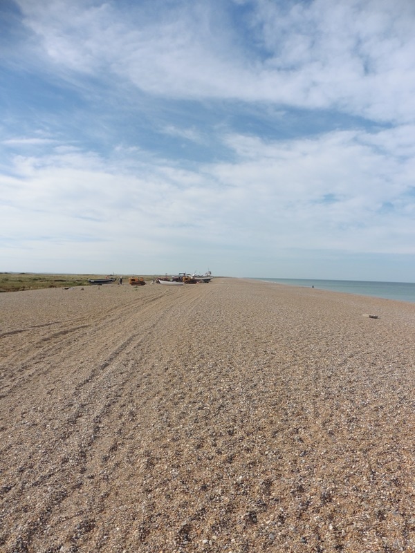
 Progressing along Morston Greens we can see activity around Morston quay in the distance. Looking across a small arm of Morston Creek the two-story information centre lies just off the harbour. As well as the tourists who visit to walk the paths along the salt marshes, there are others who come to go on the seal watching trips that leave from Morston. If you have finve minutes its worth while taking a wee look at the short video clip (highlighted above) by Jake Lomax on two of the men who run the seal trips. The harbour is also home to a small number of fishermen who make their living from the shellsfish including crab, mussel and lobster.
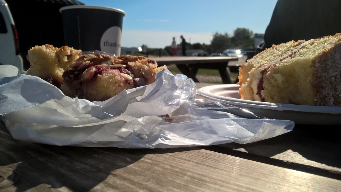
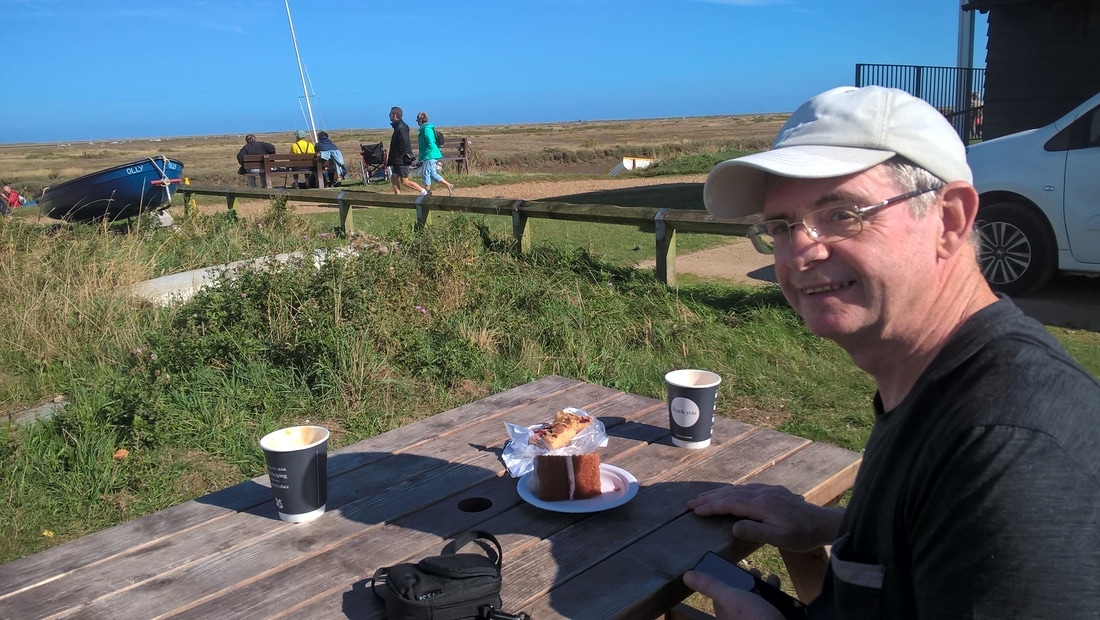
Blakeney Point, which lies to the front of the harbour, behind the marshes and sands, wraps its long arm around the harbour like that of a protective big brother. There is also a very nice little cafe here, operated by a retired policeman and his wife, that sells very nice cakes. Now, how do we know that?
Blakeney Point, which lies to the front of the harbour, behind the marshes and sands, wraps its long arm around the harbour like that of a protective big brother. There is also a very nice little cafe here, operated by a retired policeman and his wife, that sells very nice cakes. Now, how do we know that?
Elevenses & Onward
 Morston Marsh
 We left Morston after elevenses, on a red gravel path atop a short section of sea wall. In the distance we could see the tall, square tower of St Nicholas' Church in Blakeney. Originally establsihed in the 13th C, it was not until the 15th C that most of the building work was completed. It is an unusual church it that it has a second tower that served at one time as a beacon for mariners.
Morston salt marshes continued on our left as we walked, fronted now by Agar Creek. Slightly disconcerting sounds emanating from the marsh as the water in pot holes gurgled and gargled in the heat of the sun. Above the marsh the blue and white cloudscape belonged in a grand Constable painting.
Morston salt marshes continued on our left as we walked, fronted now by Agar Creek. Slightly disconcerting sounds emanating from the marsh as the water in pot holes gurgled and gargled in the heat of the sun. Above the marsh the blue and white cloudscape belonged in a grand Constable painting.
 Standing Pool
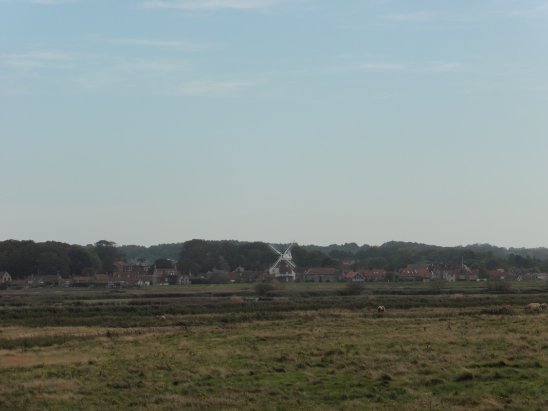
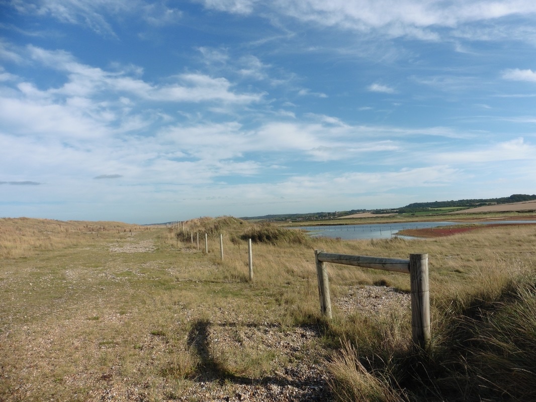
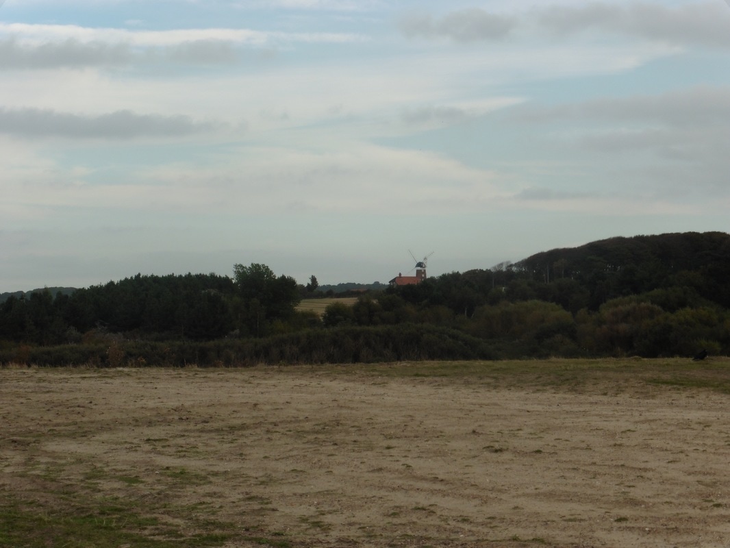
 Skirting the outside edge of the village of Blakeney we turned left toward the sea heading for the Blakeney National Nature Reserve. Morston marshes continued on our left, with the great Fresh Marshes and its' many creeks and standing pools on our right. We were still walking on red gravel path and making good progress. From our position on the path we could look across the Great Barnet to the windmill at Blakeney. At the end of the straight section, the path goes right, parallel to the Clay Channel, before passing what is known the Blakeney Eye. An eye in this regard is a landscape feature that is like a raised mound.
On the Blakeney Eye, several feet above the level of the marshes, there are flint remains that were thought to be from an old chapel. Slightly further on there is another eye, known a the Cley Eye, with similar claims made for a ruined chapel there. Archaeological work was carried out on the Blakeney Eye as part of the river diversion work, which found evidence of prehistoric farming, as well as the remains of a building constructed about the 13th or 14 C. It could have been a church connected to the nearby friary at Blakeney.
A final interesting feature on the landscape here is the Glaven River. At ten and a half miles long, the river rises in the hamlet of Bodham in North Norfolk and flows through some of the most picturesque scenery in the county. Interesting because in 2005-06, the river was moved two hundred metres inland by the Environment Agency as part of the flood defence work. Discharging in to the North Sea, the original mouth of the river was constantly being blocked by shingle moved from the beach by high tide thereby increasing the risk of flooding for the local community.
Another interesting bit of work on the river was completed in 2010 and involved restoring the original form of the river over a four hundred-metre stretch that had at one time been straightened. The work involved restoring features such as pools, riffles and meanders and restoring the flood plain. As the pictures on the link demonstrate, the environment is greatly enhanced by the changes made, as well as improving the survival chances of many of the species identified during the project.
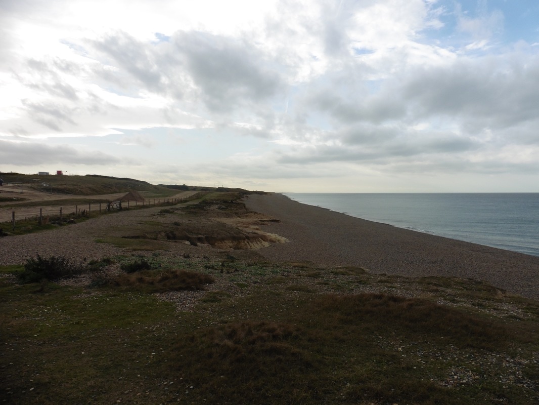
Windmills & Gravel Beach
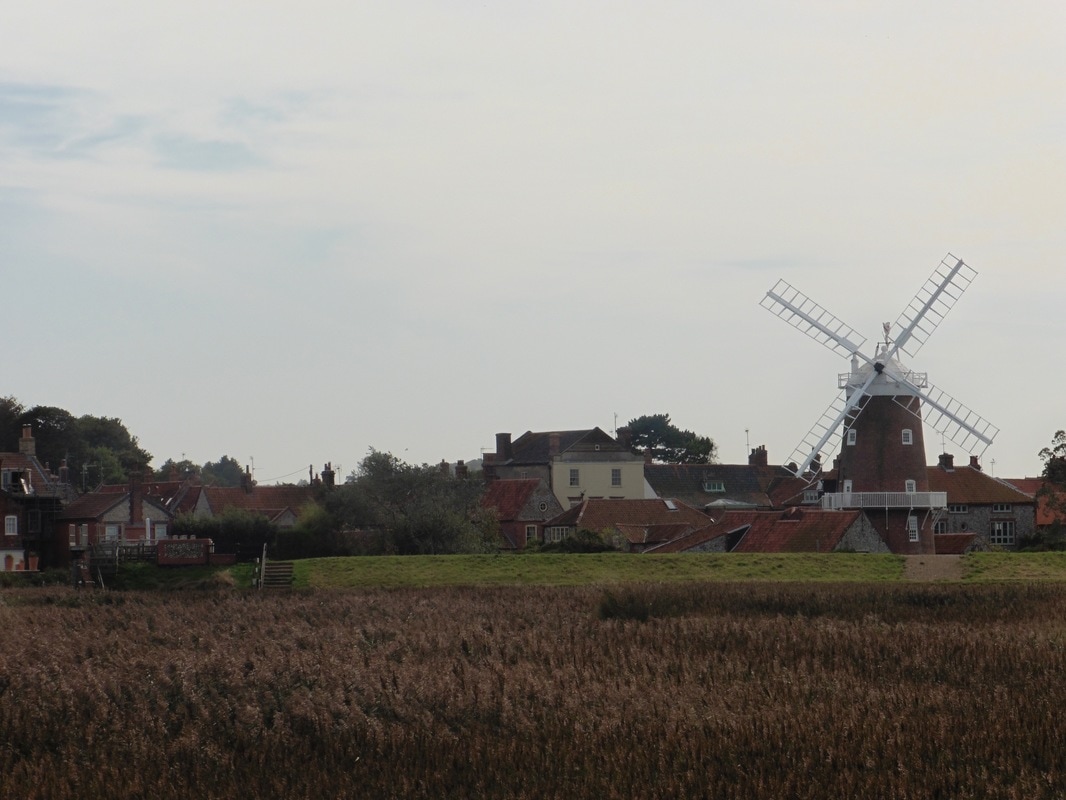
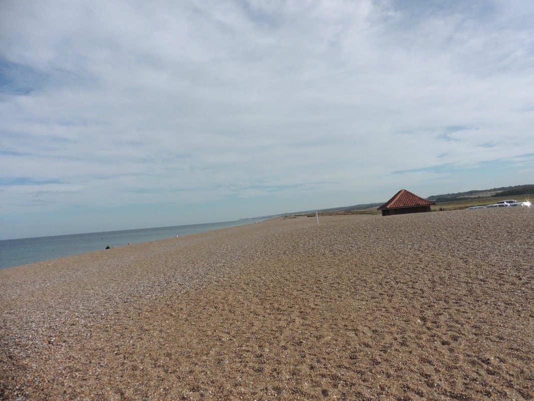
Having spent an hour walking out to the Blakeney Eye, we now needed to walk back in again to cross over the River Glaven, passing by the small village of Cley-next-the Sea and another windmill. Once across the river we then had to walk back down the other side to access the long (8 miles) and torturous gravel beach beside the Cley Eye. Knowing that this section of the walk was going to be difficult we stopped and ate lunch here, sitting on the slightly damp stones, enjoying the occasional fleeting glimpse of a seal coming up for air. This is a very steep beach, with the gravel artificially maintained as a bulwark against the sea. Up to now it has been bulldozed annually to maintain the height. The practice has now been stopped and the beach will be allowed to maintain a more natural alignment. The hope is that the new structure of the beach, with support from other flood defences such the re-routing of the Glaven River, will prevent catastrophic flooding. The sea level here is forecast to rise by up to 88cms over the next one hundred years so substantial change can be expected both to coastlines and the level of risk of flooding.
Blakeney Beach
 Behind the dunes
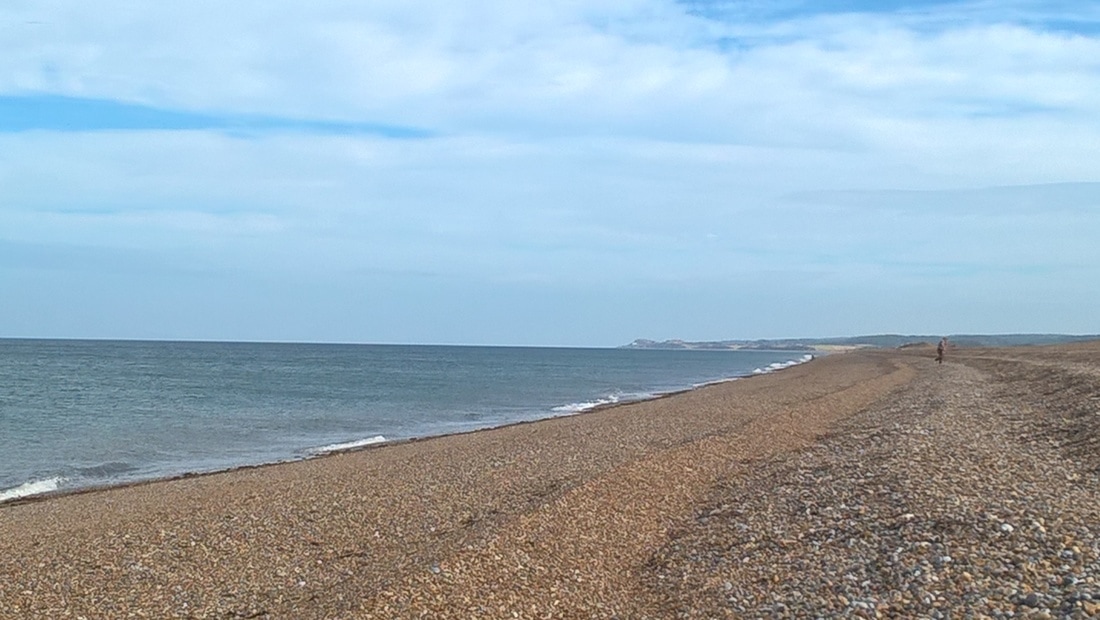
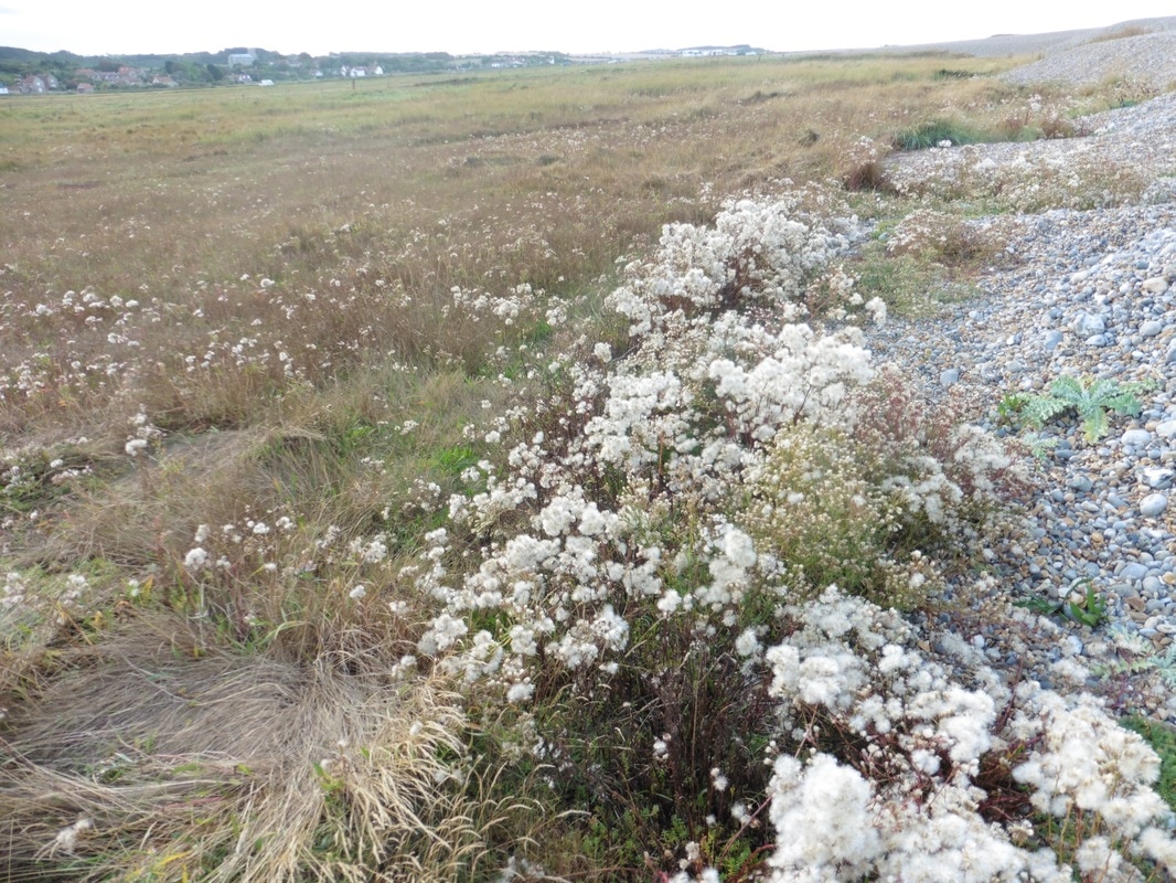
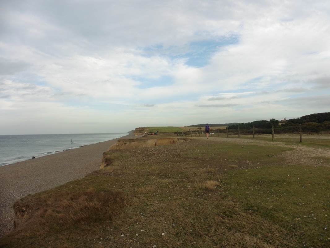
 From where we entered the beach, the Blakeney National Nature Reserve now lies to our left. The gravel beach is approximately eight miles long and we are roughly at the mid-point (for information on the route left to the point, see here). We are going in the opposite direction so have in front of us a four mile walk on the gravel beach. This is not consistently very fine gravel but occasionally very small stones, which makes the walking difficult at times as we slip and slide on the wet and moving surface. After persevering for a while on the main beach, we took an opportunit to go behind the dunes for a while where the walking was a little bit easier. By now the day was fairly hot and every little trip, slide and slither started to seem like a conspiracy.
 All that glitters...
 The sea is to our left and initially we have the Cley Marshes Nature Reserve to our right and later, Arnold's Marsh, owned by the National Trust but managed by the Norfolk Wildlife Trust as part of Cley Marshes Reserve. In the reserves there are a wide range of habitats including stately reed beds, numerous standing ponds and in some areas bog cotton grows in abundance. The views in both directions were nice, with the sun glinting across the pools and the sea as it started its descent to the western horizon. Just below Muckleborough Hill we passed some of the gun emplacements maintained as part of the military collection by the local museum at Weybourne. From here we can see clearly over to the windmill close to Fox Hill at the back of the village of Weybourne.

From the big guns at Muckleborough Hill to the car park at Weybourne Hope is a hop, skip and jump compared to what we have walked today. From the bottom of Beech Lane was have a clear view up Water Hill which will be our starting point tomorrow. To finish today's walk we head up Beech Lane to the village of Weybourne where we had time to stop in the local hostelry, the Ship Inn for refreshments before catching the coast hopper onward to Cromer. We will take the same service back tomorrow morning to continue our adventures. For tonight, its a good meal and then a well earned rest in a real bed in a B&B.
Sometimes, Vagabonds are in heaven!
Sometimes, Vagabonds are in heaven!
Journey's End
 RSS Feed
