
 Ely Cathedral
 Our last outing had ended up in the A&E Department of the local hospital in King's Lynn. Between then and now we had made a couple of efforts to get back on the trail but my own and other family health problems had prevented us. With a long trip to Australia and New Zealand coming up in a few weeks, we wanted to finish off the walking year in the UK with a final outing on our coastal adventure.
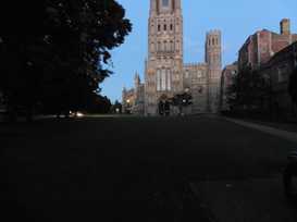
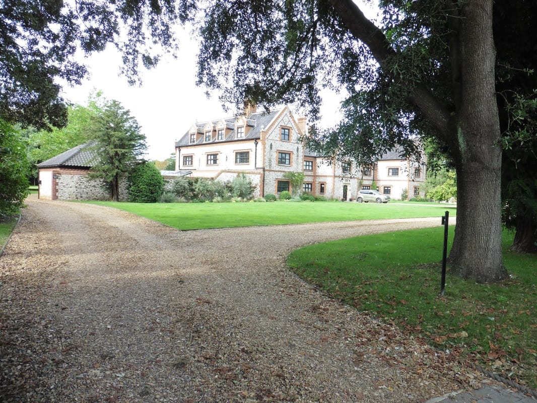
Our starting point is now so far from home that we essentially have a day's journey and an overnight before we can get started. On this occasion we decided to break our journey in Ely, Cambridgeshire and to take the opportunity to see Ely Cathedral. The first church on the Ely site dates from about 672, built by St Ethelreda, an East Anglian princess. The existing church was started circa 1083, with cathedral status granted in 1109.
The next morning, after making our own breakfast in the B&B because it was so early, we completed the train journey to Kings Lynn, where we caught a bus to Hunstanton to finally get back on the Norfolk coast.
We were staying in the Youth Hostel at Hunstanton for two nights and had arranged to drop off some of our pack weight before setting out on the first stage of our walk to Burnham Deepdale. The plan was to walk with day packs to Burnham, get the coast bus back to Hunstanton to stay the night then take the bus back to Burnham the next day with full packs for our second day's walking. For once, it all went according to plan.
 The Legend of St Edmund
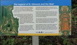
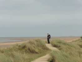
 From the youth hostel we returned to the clifftop where we had left off on our last adventure. The weather was overcast and slightly chilly to start but we soon warmed up and before too long we were walking with shirt sleeves. Walking along the cliff top, we took time to read about St Edmund with whom Hunstanton is closely associated (previously known as Hunstanton St Edmunds). St Edmund was the first patron saint of England, before being replaced by St George at the time of the Crusades. The remains of St Edmund's memorial chapel are to be found at the far end of the clifftop.
 Hunstanton Lighthouse
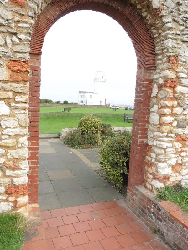
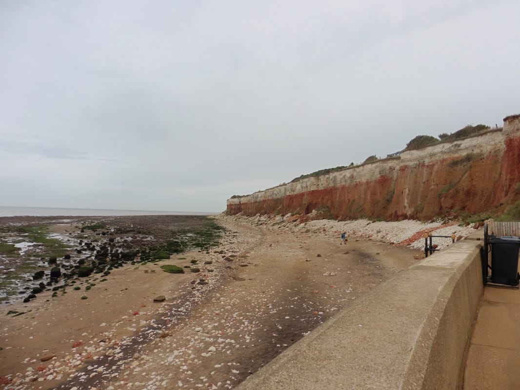
 Just beyond the memorial chapel stands the Old Hunstanton lighthouse. The first lighthouse on the site was built about 1665, with the current structure completed in 1840. The lighthouse and memorial chapel sit atop the famous 'striped' cliffs of Hunstanton. The dramatic striped cliff face is made up of brown Carrstone, Hunstanton Red Chalk
Formation and the lighter colours of the Ferriby Chalk Formation (also good for fossils). Carrstone is a sedimentary sandstone that has previously been used extensively in the local area for house building. The red rock in the formation is chalk-based but it has been coloured by the iron pigments presents in the formation. Fossils, particularly ammonites and belemnites can be found in the red chalk layer. The upper white or light layer is also chalk based and of marine origin.
Formation and the lighter colours of the Ferriby Chalk Formation (also good for fossils). Carrstone is a sedimentary sandstone that has previously been used extensively in the local area for house building. The red rock in the formation is chalk-based but it has been coloured by the iron pigments presents in the formation. Fossils, particularly ammonites and belemnites can be found in the red chalk layer. The upper white or light layer is also chalk based and of marine origin.
Local Features
 Big Sky, Big Beach!
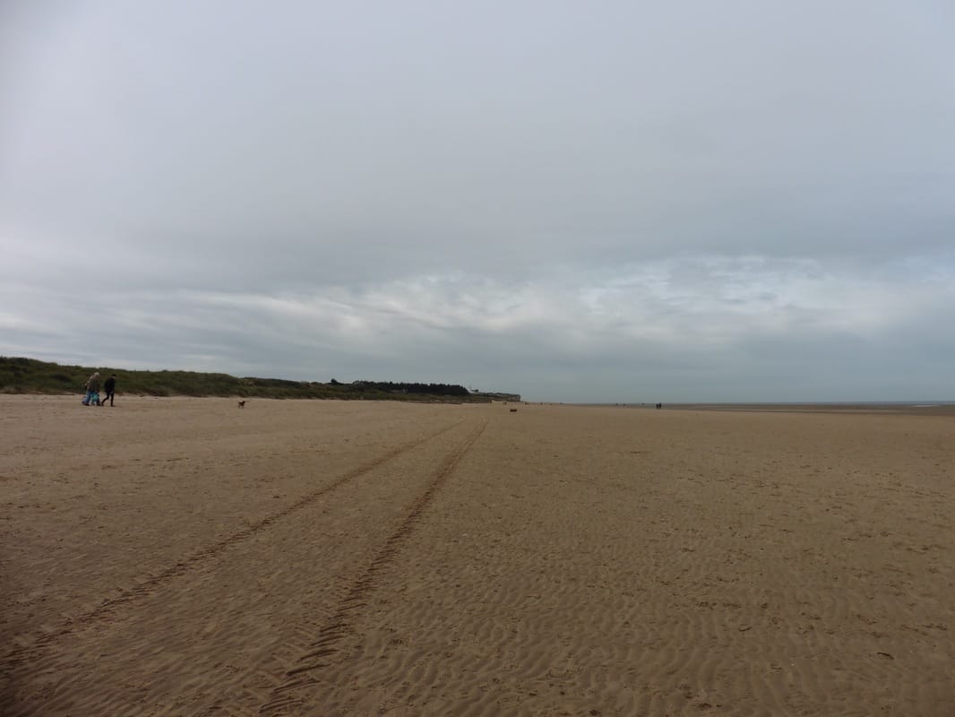
 Dropping down off the cliff on to the beach we followed the route of the Peddar Way and Norfolk Coast Path. Walking either on the beach or just off it by the dunes, the walking was relatively easy on the fairly firm sand. The tide was out and the sea some distance to our left. With good views back to the lighthouse, to the front we were treated to an experience of Norfolk's big sky, big beach.
 Dunes Route
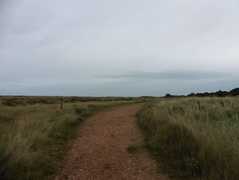
 To our right there was a golf course and once we had cleared its ground we moved off the beach on to a gravel path that runs through the dunes here just below Holme-next the-Sea, which is mentioned in the Domesday Book.
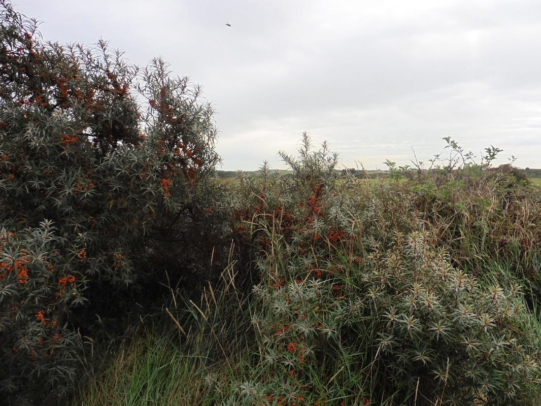
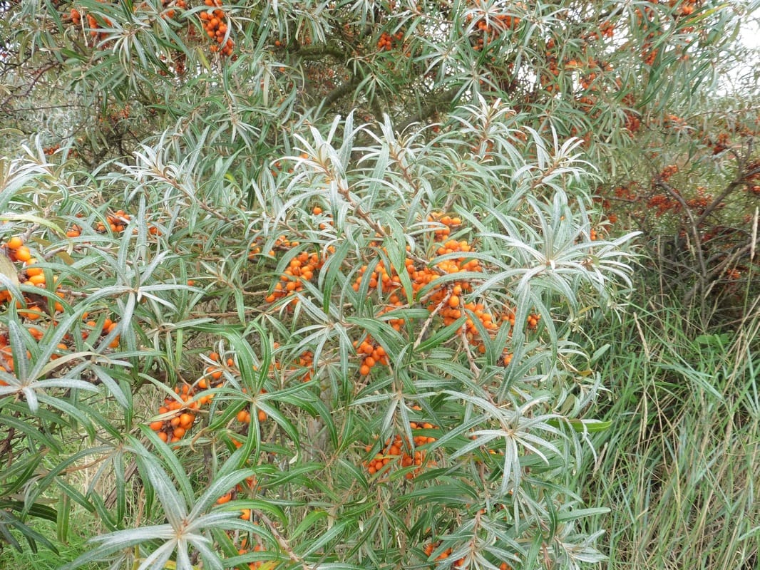
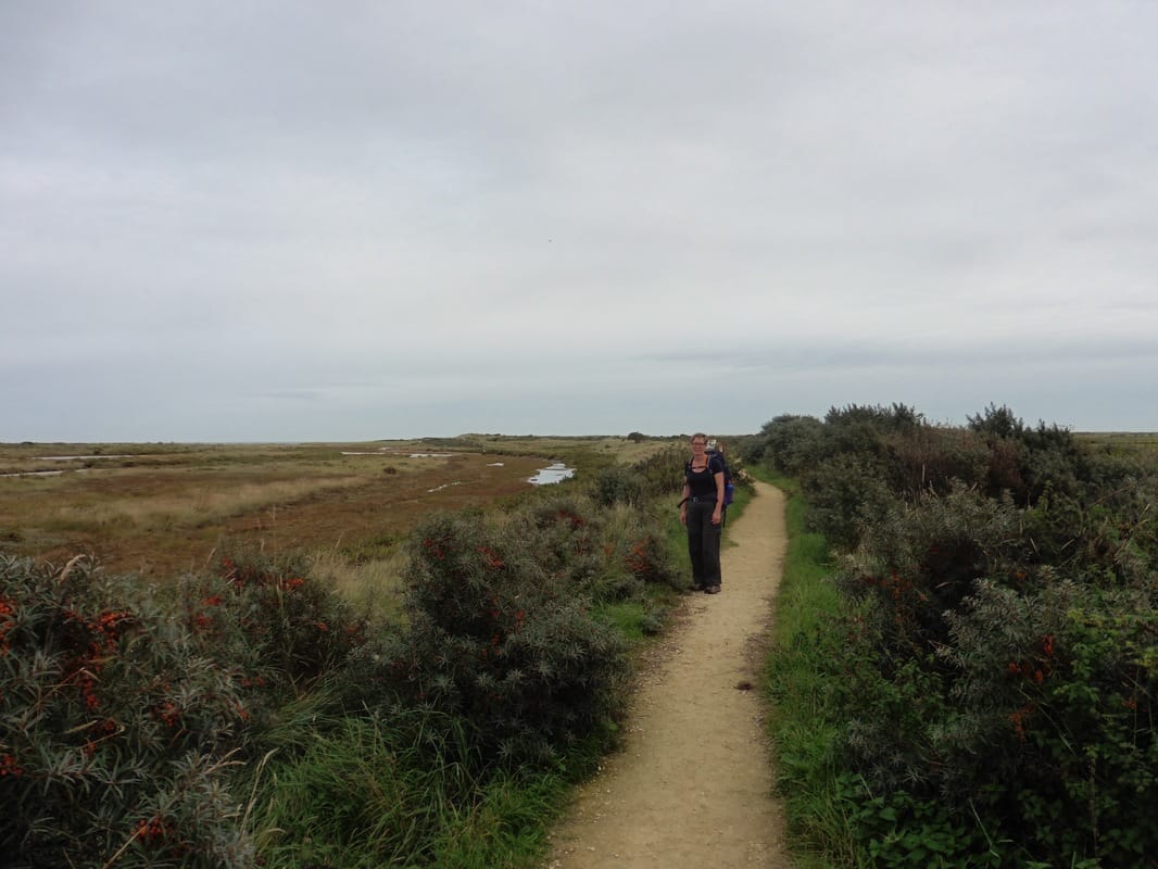
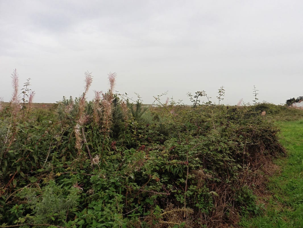
The hedgerows here were resplendant with nature's rich bounty, the shrubs heavy with fruit, bright and daring in their colour to attract the birds. As well as food for the birds, at various locations along the route there was a wonderful bounty for us in the form of bushes laden with wild brambles. We could not understand why the path was not heaving with people out collecting them for the jam and crumble making. Inland, the flat land of Norfolk disappeared beneath a silver horizon and on the seaward side lazy creeks meandered towards the sea.
The hedgerows here were resplendant with nature's rich bounty, the shrubs heavy with fruit, bright and daring in their colour to attract the birds. As well as food for the birds, at various locations along the route there was a wonderful bounty for us in the form of bushes laden with wild brambles. We could not understand why the path was not heaving with people out collecting them for the jam and crumble making. Inland, the flat land of Norfolk disappeared beneath a silver horizon and on the seaward side lazy creeks meandered towards the sea.
Natures' Bounty
Inland & Sea Creeks
 By Gore Point
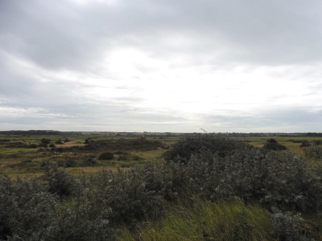
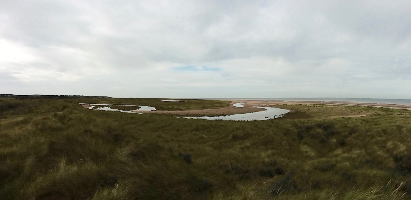
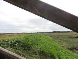
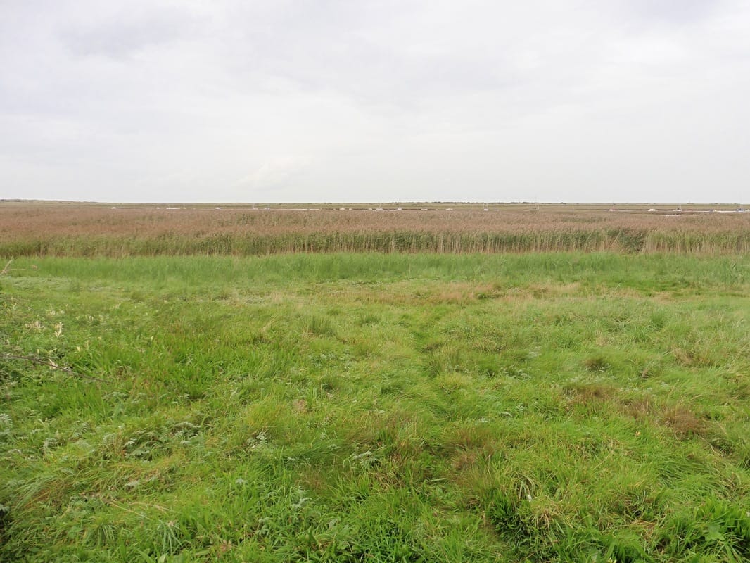
 Exiting back on to the beach we walked along the sand again heading for Gore Point. Just beside the point there is a small nature reserve , Home Dunes National Nature Reserve, based around the Broad Water and other standing pools. Operated by Norfolk Wildlife Trust, it has a number of different habitats that attract various species in addition to the ubiquitious and slightly rarer birds. The varied habitats in this area including the salt marsh, reed beds, standing pools (Broad Water, Hun Pool & Christie's Pool) and shingle beaches, are home to a wide variety of wildlife that includes many threatened species. It is an experience to walk in this kind of environment and particularly later in the day where the salt marsh just seems to go on for ever. Despite the presence of small settlements just inland, the area retains the sense of being a wilderness and the richness and lusciousness of the vegetation in full fruiting is an added bonus.
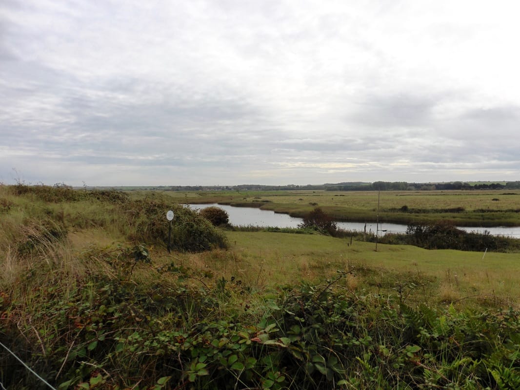
Standing Pools, Holme Dunes National Nature Reserve
 Sea Wall, below Thornham
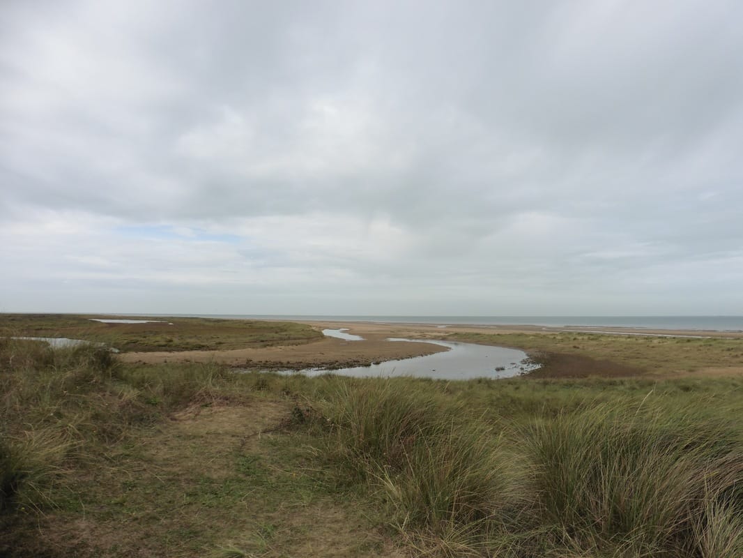
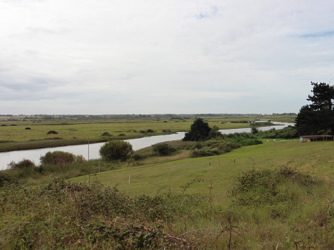
 Shortly after Gore Point the route turned inland where we accessed the sea wall for the walk up to and then behind the village of Thornham. Before going on to the village, we stopped to brew up and have a snack and to enjoy the views over the wide expanse of salt marsh that lay to our front. Sometimes we pack in so many miles in a day that we do not have time to just stop, sit and appreciate. Wildernesses like this are fast disappearing either because of building on the sea in the form of wind farms or rigs, or onland where industrial and domestic development impinge on the landscape and one wonders how much longer we will be able to just sit and enjoy the isolation and empty vastness.

Views Across the Salt Marsh
 Thornham with All Saints
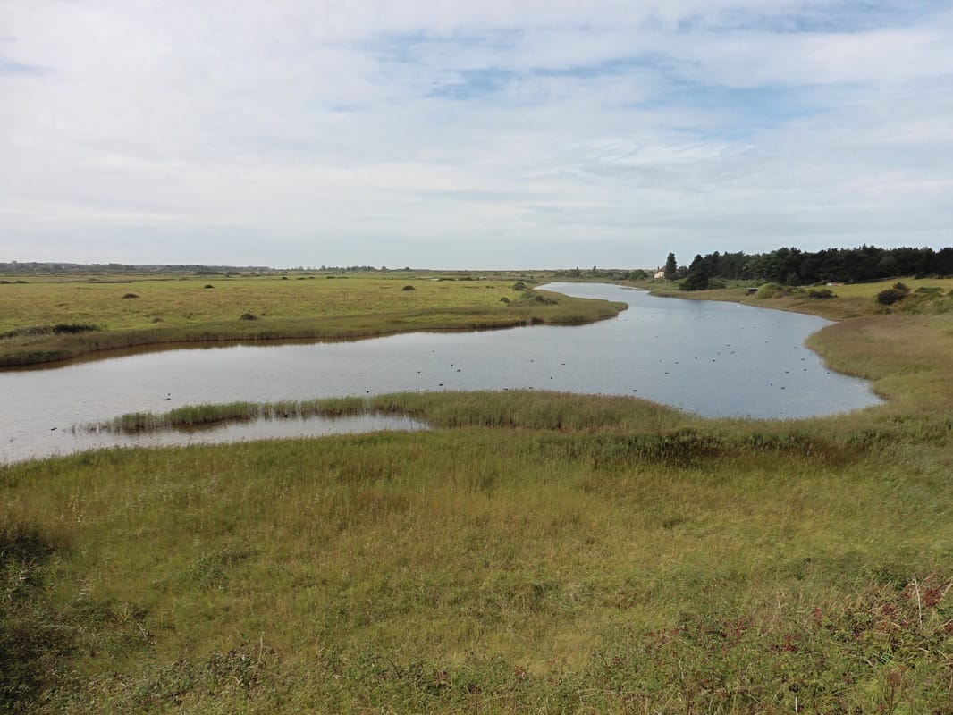
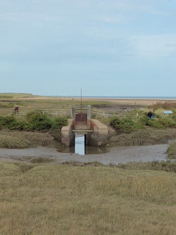
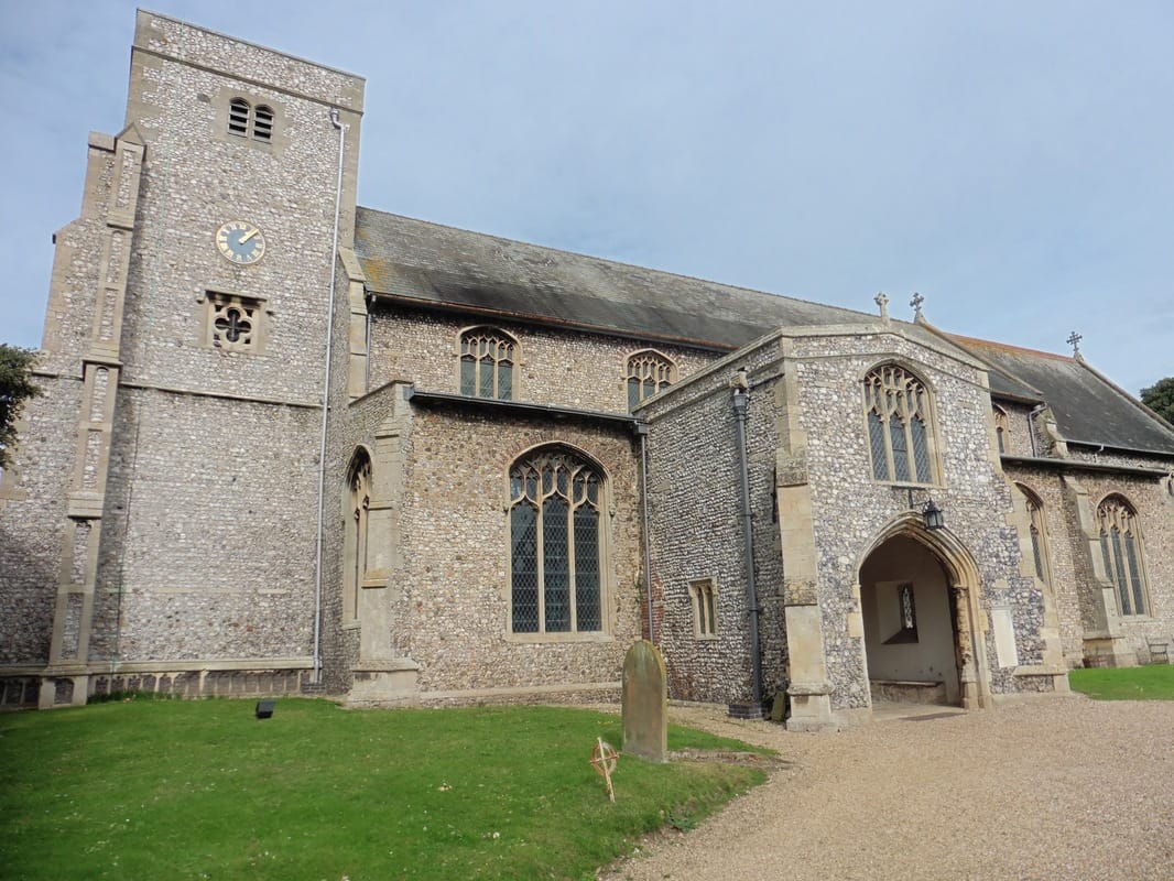
 For a short period our route along the sea wall followed a length of the Hun River. The Hun, which is only six kilometres in length, rises in Hunstanton Park and exits to the sea through the Dunes National Nature Reserve. Our walk on the sea wall terminated just below the the village of Thornham. One of the attractions of this little English village are the many buildings that are faced with flint including All Saints Anglican Church and a number of the grander houses in the village. The church was founded in Norman times but had a troubled history and it was not until 1938 that the the final part of the bulding, the tower was completed to commemorate King George V's Silver Jubilee. Although an ancient craft, flint work has enjoyed a revival recently in areas like Norfolk, albeit good quality flint workers are apparently hard to come by.
Flint Buildings
 Cross Country, alternative route
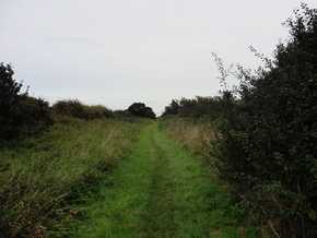
 From the village of Thornham we needed to make a decision about what route to take. The choice was between walking along the shorter but busy A149 or to take the recommended longer detour out above the village to walk a more rural path that would take us down to the village of Brancaster. We chose to take the latter route having had our fill of playing dodgems with cars on busy A roads. In retrospect, having found out there is a small, narrow pavement on the right-hand side of the main road, we would take the road option if faced with the same decision again. While the rural option was reasonably pleasant with no cars on the cross-country section, given the extra mileage involved, it was not worth the effort of climbing what seemed like a couple of miles up a pretty steep hill on a B road. While it did have its attractions, including wild plum trees, there is nothing particularly attractive about the route that makes it worth the extra mileage.
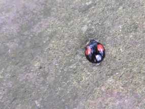 Two-spot Ladybird
 As we entered Brancaster, while waiting to cross the busy road, I observed a two-spot ladybird crawling on a stone in a recreation area. I cannot remember ever seeing a two-spot before, even an out of focus one!
From the crossroads, our route led us straight down a small road to access the boardwalk that runs for pretty much the length of Mow Creek, with the Brancaster Marsh running along behind it. It was pleasant walking, brightened up by a couple of classes of pupils from a local primary school, whose bright chatter fought with the birdsong for dominance.
From the crossroads, our route led us straight down a small road to access the boardwalk that runs for pretty much the length of Mow Creek, with the Brancaster Marsh running along behind it. It was pleasant walking, brightened up by a couple of classes of pupils from a local primary school, whose bright chatter fought with the birdsong for dominance.
 Site of Branodunum Roman Fort
 There were beautiful reed beds along this stretch and when the children had passed we enjoyed listening to wind rustle through their seed heads. Brancaster was the location of the Branodunum Roman Fort and the site where the camp was located is in the care of The National Trust. It was one of eleven forts on the south and east coast. Built around the 3rd century AD, they were in use for about one hundred and fifty years, before being abondoned when the Romans left Britain. Sadly, there is nothing left in the field to see.
Views from the Duckboard
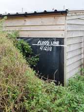 Flood Line 2013
 From the location of the fort we continued along the duckboard path enjoying the reed beds, rich hedgerows and wonderful views across the marsh. We were making good time here, which was just as well because we could see storm clouds starting to gather out at sea. with only a couple of miles left to do it was a question whether we would finish dry or wet.
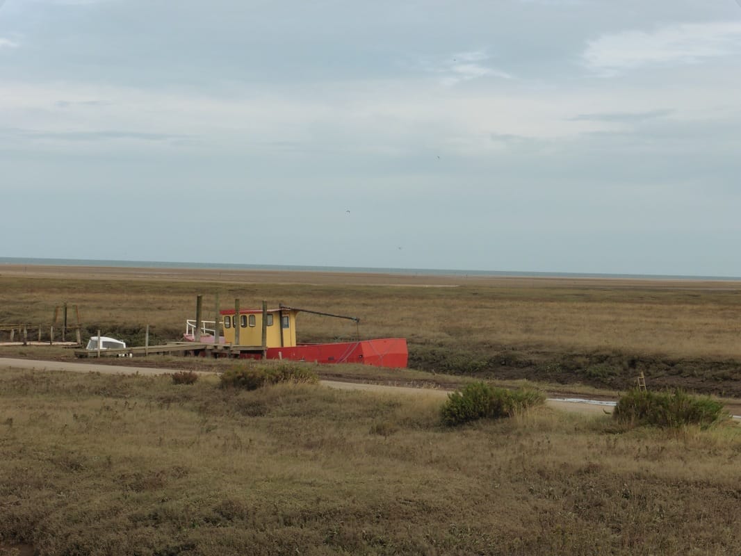
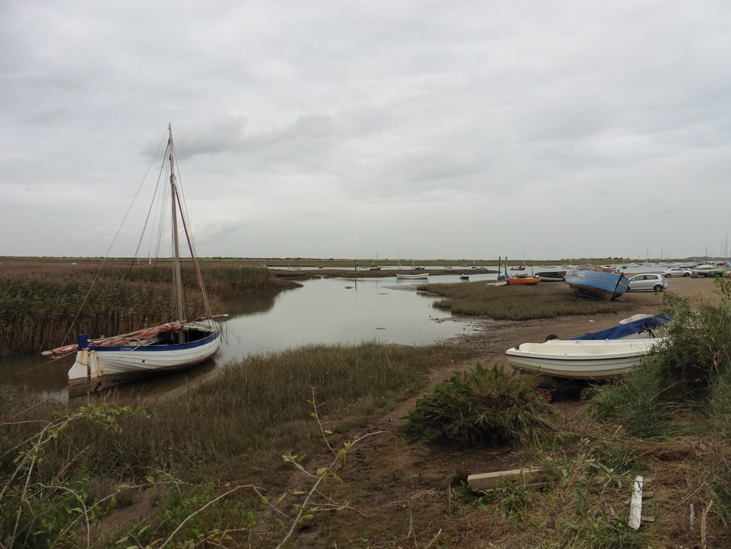
The next location was Brancaster Staithe, only a mile or two from its namesake. The approaches to it along the creek were very pretty and we started to see a lot of activity as we neared the harbour area which is used as a centre for outdoor activity, particularly sailing. There was all kinds of craft lying by the waters edge. Brancaster Staithe was once a centre for the production and transport of malt, as well as grain and barley. The historic quay in the harbour was built in the 1770's and had been subject slow decline ever since. Remedial work was last completed in 2007 to keep it operational with its usual purposes now fishing and leisure.
All along this coast there is a constant risk of flooding. the last major deluge was in 2013 and as this photograph testifies, the water level rose to about five feet above the norm.
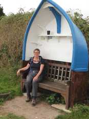 Boat Seat
 From Bancaster Staithe to Burnham Deepdale is but a hop, skip and a jump. After twelve to thirteen miles we were ready for a wee seat and were delighted when we came across this unusual one. From the seat we made our way up to the main street where we had timed it just about right for our bus back to Hunstanton. No sooner had we reached the canopy in front of the small shopping arcade than the heavens opened and it rained down for much of the rest of the day and night. While we were too late to get a meal in the cafe, at least we did not get soaked. On the journey back to Hunstanton we passed a number of walkers who had been caught out in the open and they looked fairly drookit from what we could see.
Back in Hunstanton it was a case of carry out fish suppers and back to the youth hostel for a wee cup of tea and feet up.
Back in Hunstanton it was a case of carry out fish suppers and back to the youth hostel for a wee cup of tea and feet up.
 RSS Feed
