
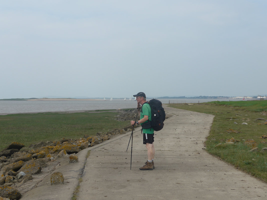
When you first have the notion to walk the coast of Great Britain, you have visions of walking on endless sands and enjoying walks by the river with birdsong and wild flowers aplenty in the hedgerow. And sometimes it can be like that. I think of some of my journeys in Essex and Lincolnshire where such was the case. However, because it is not always idyllic. there are days when it all goes wrong and you come to appreciate that because the OS says there is a public footpath on the map, that doesn't necessarily mean that it will be there on the ground, or that you will able to find it, even if you are in the right place. Today was to turn out to be such a frustrating day. 'Off-piste' can offer some wonderful walking, but it can also go horribly wrong!
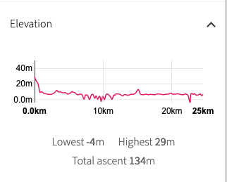 Walk Profile
 We started the day at a slightly elevated position but quickly dropped to sea level and pretty much stayed there for the whole day, apart from an occasional small rise. We had walked part way up the River Parrett yesterday and, as rivers go, it had been the most boring of our two and a half thousand mile journey so far. So we made the first mistake of the day and decided that instead of going back down to and following the course of the River Parrett up to Bridgewater, we would take a cross-country route following local public footpaths to Perry Green and from there come in to the western side of Bridgewater. Moving through the top edge of the town, we would walk up the opposite bank of the river as far as Pawlett Hams. At the Hams, we would cut across the neck and take another public footpath back down on to the seawall at Stretcholt and then walk the coast to Burnham-on-Sea.
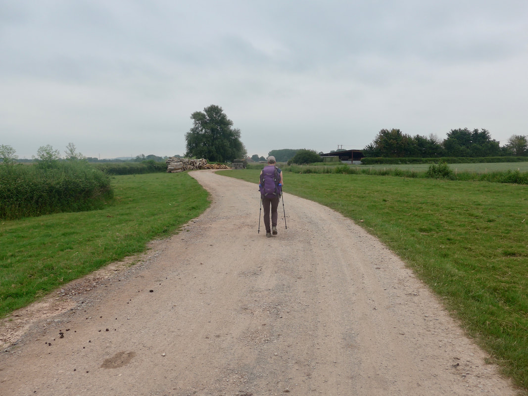 Heading for Gurney Manor
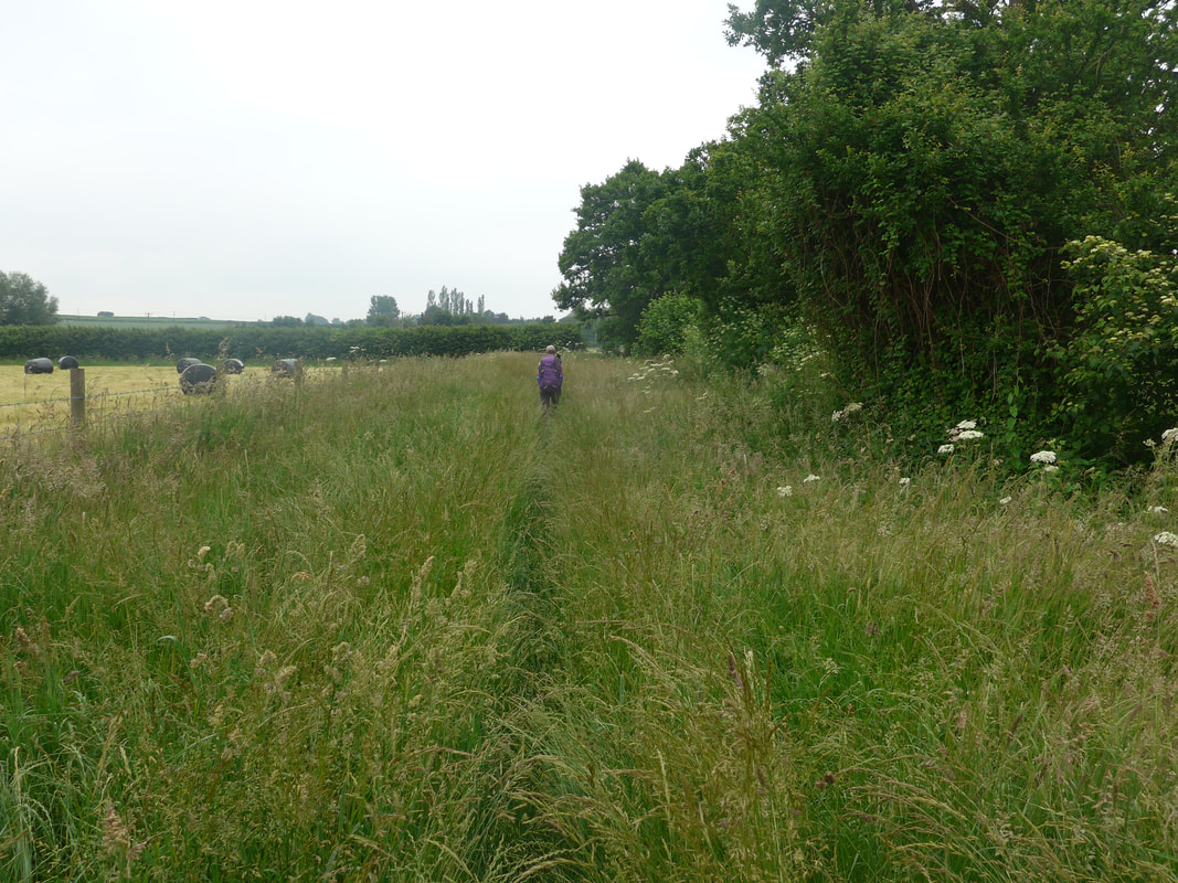
 It started off well enough. Leaving our accommodation, we walked through Cannington to The Downs and on to the track that goes past Gurney Manor and then out past the sewage plant where we headed off in to the countryside. Beyond the sewage plant it started to go belly up when the vegetation went wild. Going across country we wanted excitement; we wanted adventure, what we got was lost, wandering in a sea of four and five feet high grass, weeds, nettles and bramble. It was impossible to tell where paths ran and there were no signposts to indicate where the path should be. In places, the vegetation was impassable unless you wanted to wade through high nettle, thistles and brambles; fearty that I am, there was no way I was doing that in thin shorts. So we had no option but to continue going straight, almost to Quantock Lodge, where we were at last able to cut across the land to take up the road we were originally aiming for, only at a lower level.
 The civilised bit
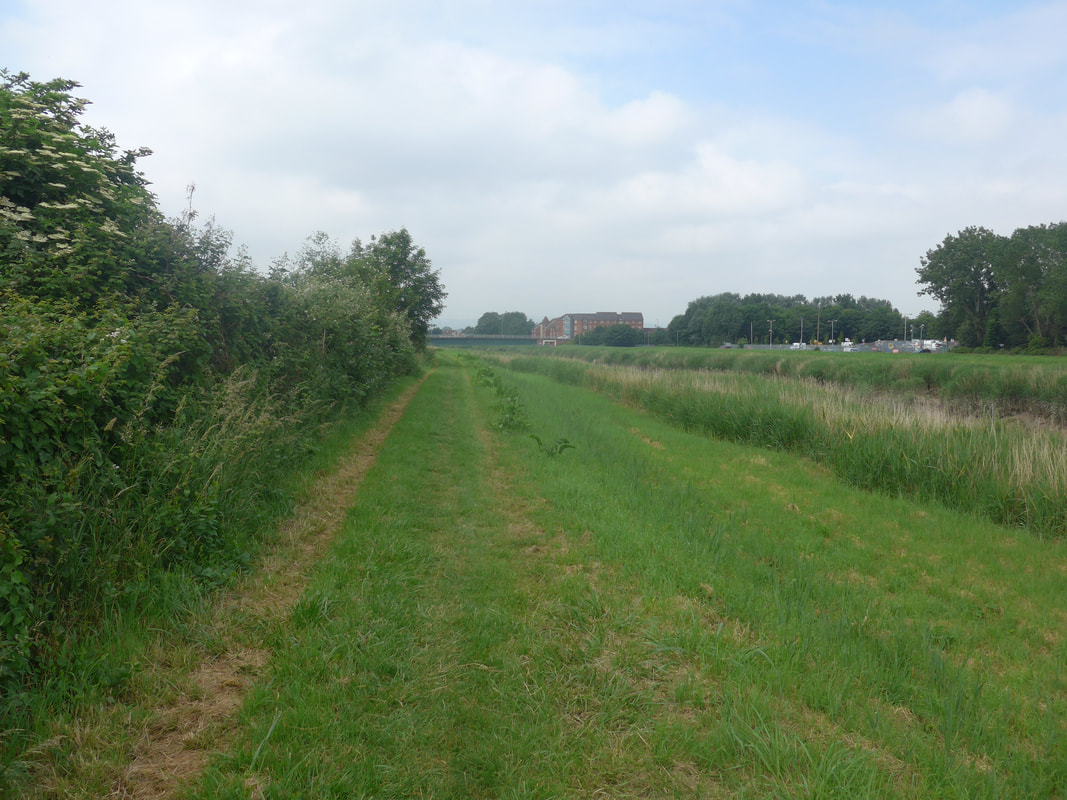
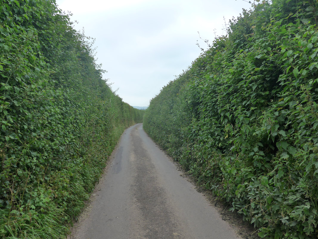
 From close to Quantock Lodge we doubled back on ourselves to reach Perry Green where we set off on another cross-country path in the direction of Chilton Trinity. Before reaching Chilton, we turned down to head for the top corner of Wembdon, walking on road enclosed by very high hedges which made it difficult when cars came zooming up the road, particularly on corners, as there was no way to step off the road or to let drivers know of your presence. From Wembdon, we turned to walk to the Newtown district of Bridgewater and from there headed to the bridge crossing over the River Parrett. Re-joining the England Coast Path, we followed the River Parrett round past a retail and industrial site. As we were reading an information board about Bridgwater, we spied a small cafe a couple of streets of in and decided to stop head there for coffee and cake and to try and regroup after the morning's fiasco. We didn't know it then, but the day was not finished with us yet!

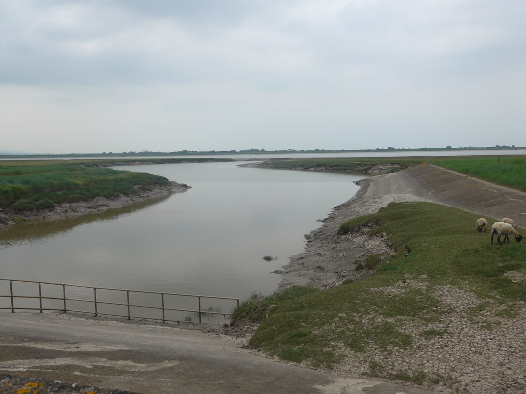
Apart from chasing and managing to photograph a Little Skipper butterfly, the walk down the River Parret was as boring as the walk up it was. As planned, we cut across the neck of Pawlett Hams and up through Gaunt Farm where we passed a number of notices telling us we shouldn't be there. We passed in to and walked through the hamlet of Stretcholt, where we hoped to find a public footpath to rejoin the river trail. It was initially a forlorn hope. We had been advised there was a footpath at the back of the vet's house but we could not find any way through. We walked on further to try to find a second footpath that should have run off left just as you approach Yearsley Farm. No sign of a footpath. Where we and the map thought it should be there stood a field of cereal, a locked gate and no sign post.
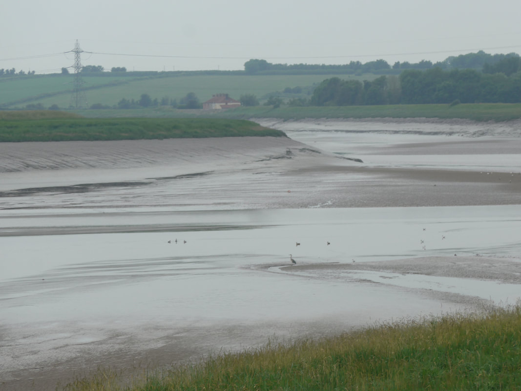
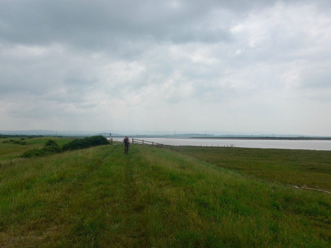
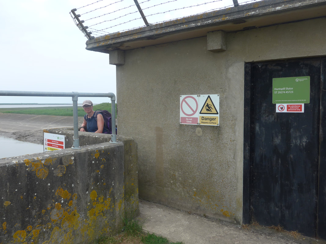
We decided to walk in to Yearsley Farm to ask directions and where an elderly lady coldly advised us we were trepassing and should move off her land. Eventually, when we explained why we were there, she calmed enough to tell us that the field where the cereal crop was growing was in fact the right of way but the owner removed any signs that were put up and continued to crow his crops without leaving a through-way. Back up the road, climbed over the gate and, with great trepidation, walked our way through the cereal crop. At first we tried to walk on the field margin but it was impossibly rutted and full of nettles and thistle so we settled for walking in the one of the ruts between the rows of cereal. We eventually rejoined the coast path at Black Rock Clyce and from there had a fairly straightforward walk along the sea wall to cross the Huntspill River via the sluice that discharges there in to the River Parrett. Just after the sluice, in the midst of the sheep and the cows, we stopped for a late lunch at a spot overlooking Steart Point and Steart Marshes which we had walked through yesterday. A cup of coffee in your hand never fails to take away the mistakes of the day.
We decided to walk in to Yearsley Farm to ask directions and where an elderly lady coldly advised us we were trepassing and should move off her land. Eventually, when we explained why we were there, she calmed enough to tell us that the field where the cereal crop was growing was in fact the right of way but the owner removed any signs that were put up and continued to crow his crops without leaving a through-way. Back up the road, climbed over the gate and, with great trepidation, walked our way through the cereal crop. At first we tried to walk on the field margin but it was impossibly rutted and full of nettles and thistle so we settled for walking in the one of the ruts between the rows of cereal. We eventually rejoined the coast path at Black Rock Clyce and from there had a fairly straightforward walk along the sea wall to cross the Huntspill River via the sluice that discharges there in to the River Parrett. Just after the sluice, in the midst of the sheep and the cows, we stopped for a late lunch at a spot overlooking Steart Point and Steart Marshes which we had walked through yesterday. A cup of coffee in your hand never fails to take away the mistakes of the day.
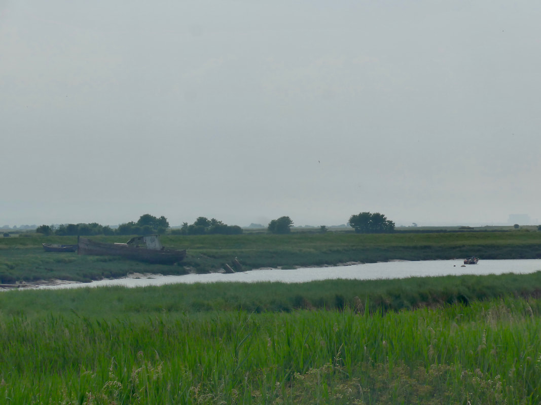
After lunch we continued on the last stretch of the River Parret before it discharges in to the sea by Steart Island. Just by the island the River Brue also dischares in to the sea and we turned inland to walk up the Brue to the New Clyce Bridge to cross the river. Heading back down the river we turned on to the esplanade of Burnham-on-Sea jus below a huge holiday complex. The esplanade and the town were both busy and noisy and, after the quiet of the day, it was a shock to the system. Another shock was that the hotel we were staying in had absolutely zero staff, everthing was computer operated, with even a robot-controlled drinks dispenser.
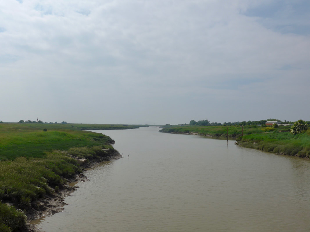
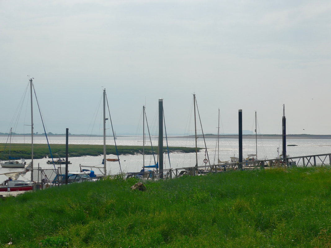
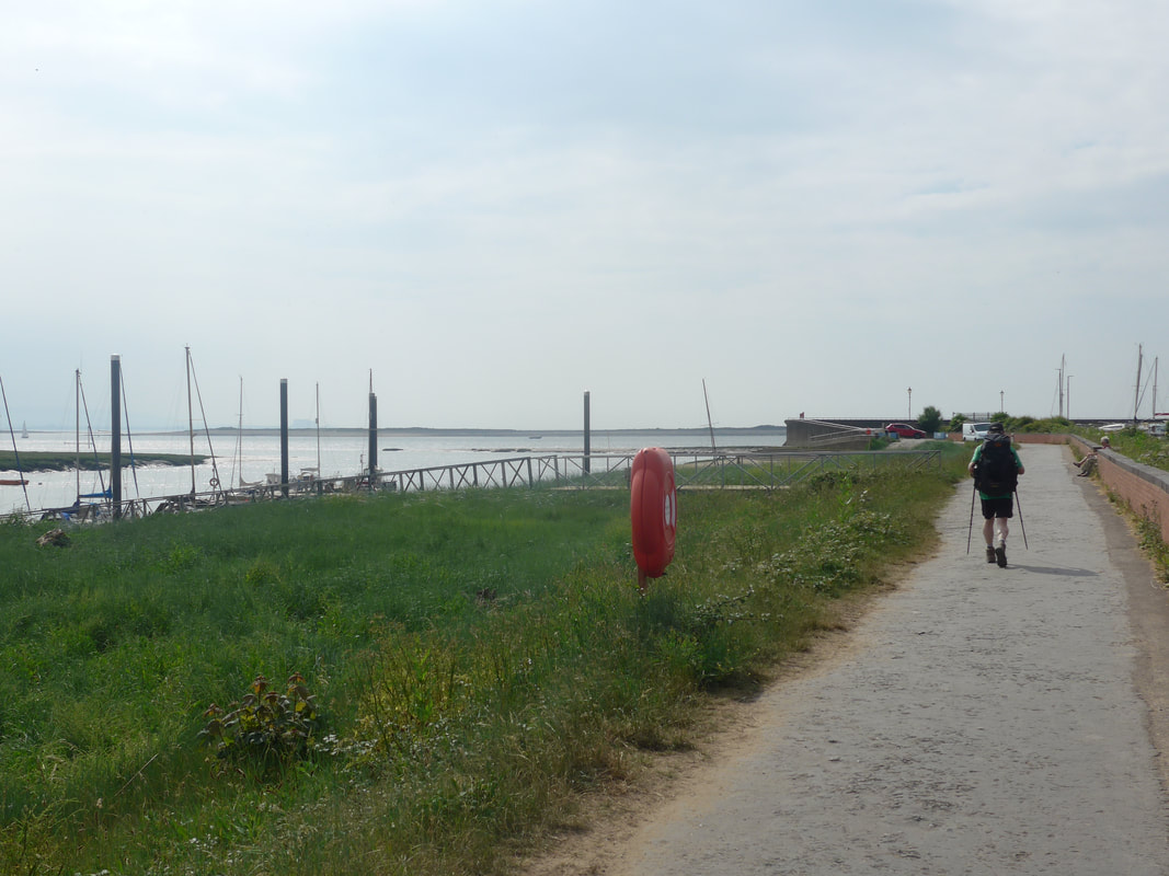
River Parrett & Bridgwater Bay
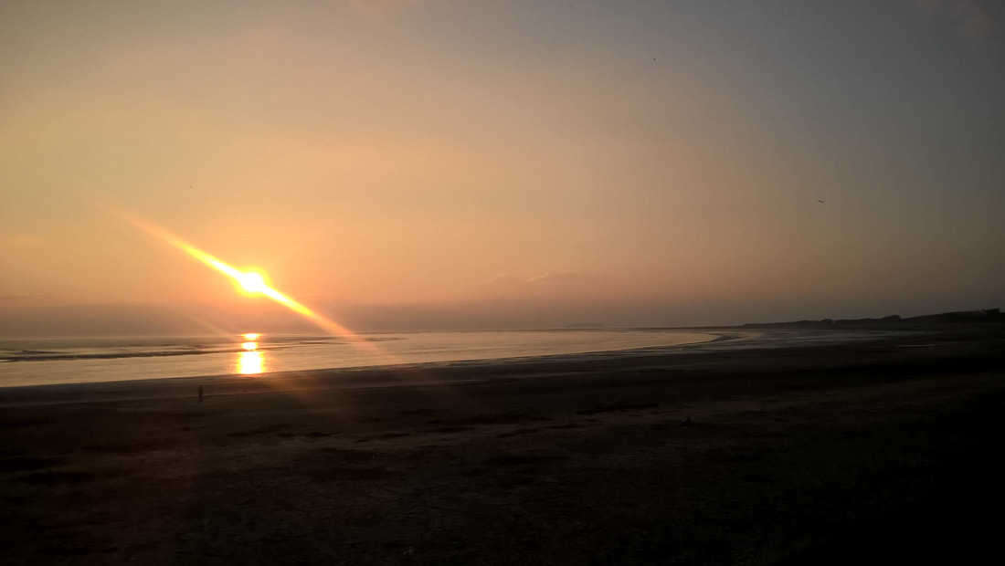
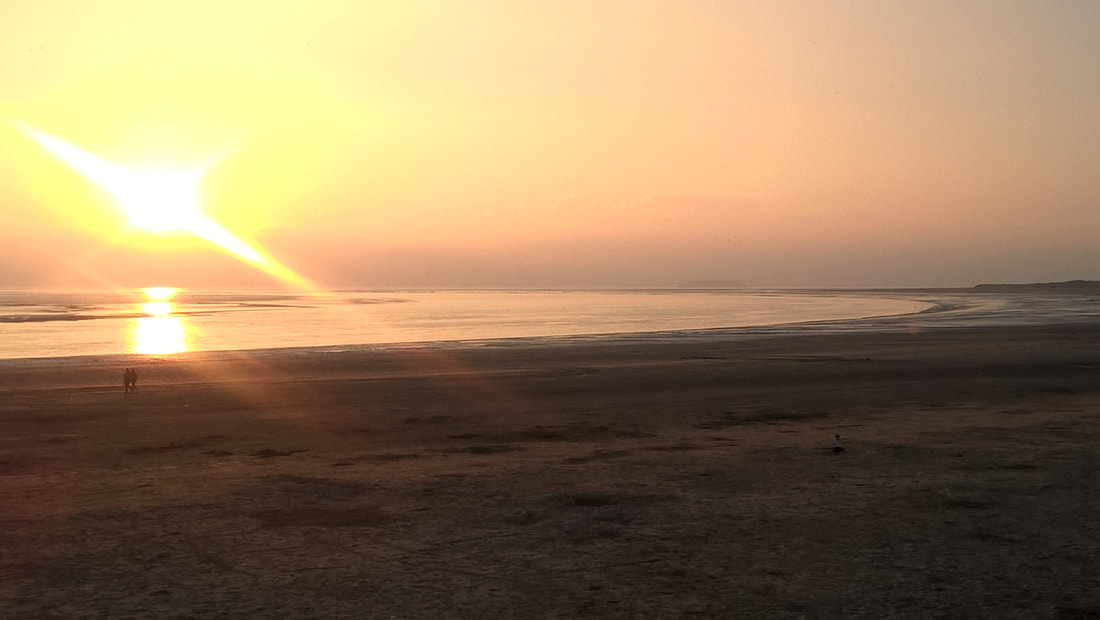
After the usual tea, shower and rest, we ventured out to find the local Wetherspoon's for dinner. When everything else in your day goes wrong, look for Weatherspoon's which we find to be consistently good. After dinner we enjoyed a nice, slow meander, hand in hand, along the shore and where we were rewarded with a beautiful sunset before returning to our robot hotel for a good night's sleep.
Burnham-on-Sea Sunset

 RSS Feed
